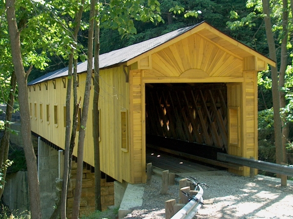
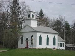
Built in 1867. Listed on the National Register of Historic Places in
1973. A historic map-sheet match is not published yet. The record needs a coordinate-quality review before it can be joined to a sheet boundary.
From the record
“Windsor Mills Bridge, also known as Wiswell Road Bridge or Warner Hollow Road Bridge, is a covered bridge that carries Covered Bridge Lane, formerly Wiswell Road, across Phelps Creek in Windsor Township, Ashtabula County, Ohio, United States. The bridge, one of currently 17 drivable bridges in the county, is a single-span Town truss design.”
Wikipedia article Windsor Mills Covered Bridge, CC BY-SA 4.0.
one of 36 National Register listings in Ashtabula County · listed in 1973 · category: Structure · built in 1867 · one of 1 National Historic Landmarks in Ashtabula County.
National Register reference number.73001386- the number the National Park Service assigned this property when it was listed, and the key its nomination file is catalogued under at the National Archives.
The ground it stands on
32,534 words
This property stands in Windsor Township. History of Ashtabula County Ohio, published 1924 gives that township a chapter of its own.
The chapter covers organized in 1811, early settlers, first marriage, first death, religious interest, rev. john badger.
Machine-read from a century-old scan, so
expect the errors a machine makes: misspelled names, dropped words,
stray characters.
Regional context, not property-specific
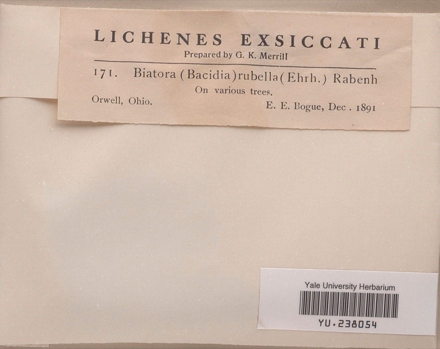
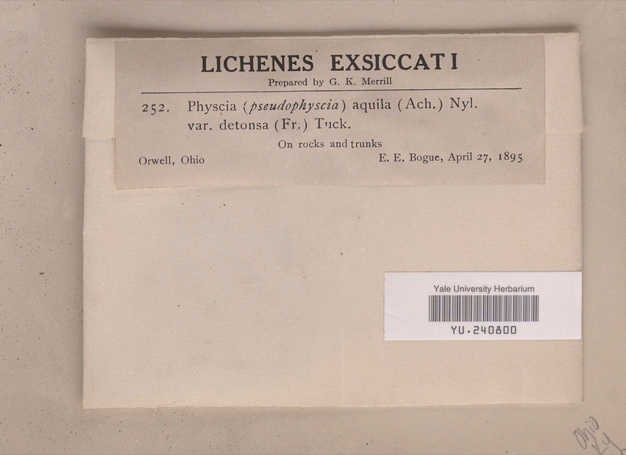
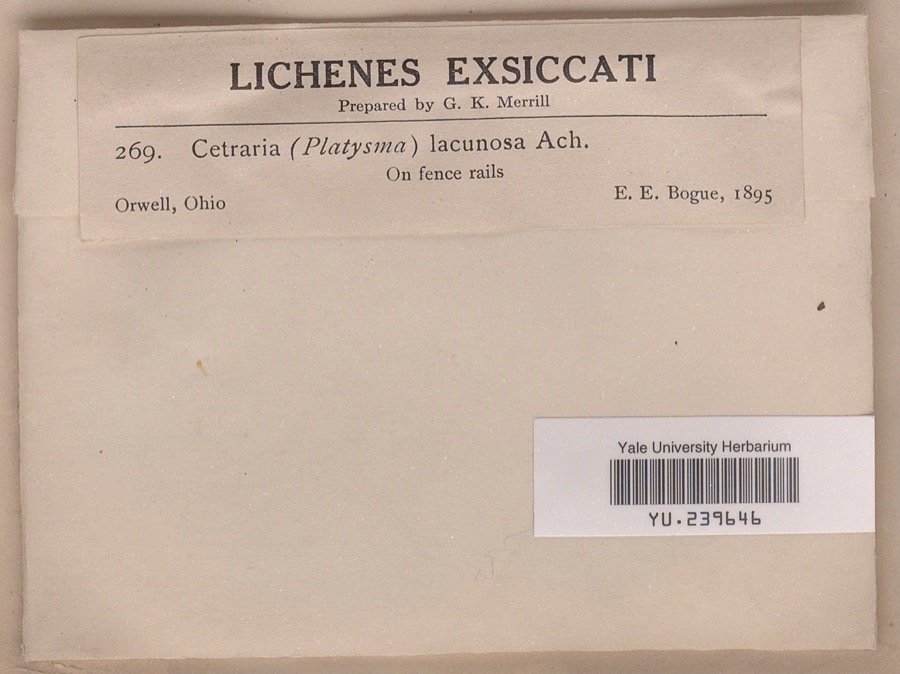
evidence. Museums hold 777 specimens
collected within 10 miles of Wiswell Road Covered Bridge between 1890 and
1974: 741 Animalia, 28 Fungi, 8 Plantae. 12 distinct Species records are shown.
Collected by A.E. Daugherty, Acker, G. G. & Class, Athearn, Herbert D. and others. Each is a
physical object with a catalogue
number, and each entry opens the museum's record. This is what was
collected and kept, not a survey of what lives here - nothing can be
concluded from a species being absent.
No historic map-sheet match is published
for this property yet. That does not mean no map exists. This record needs
a coordinate-quality review before it can be joined to a sheet boundary.
Browse the county's mapped places while that work is
pending.
From the nomination file
1,539 words on record
When this property was proposed for the
National Register, someone wrote the case for it: what the building is,
and why it matters. That document is a federal record in the public domain.
It is quoted below word for word, never summarised. The text was read off the scanned case file by machine, so the
occasional stray character is the recogniser's and the 1970s
typewriter's.
Description of the property
and 40.3'. The overall length is 120-1/2'; clearance 10'6" and roadway more than 30 feet above Phelps Creek Gorge on the original cut stone 1972 piers.There are two piers and two abutments of stone blocks (2'x 2' x4')quaried from the wall of the gorge nearby.The chisel marks may stil1 be seen from the road above.There are three spans of 33',42.3'
Statement of significance
The first settlers to the township of Windsor arrived in June 1799 and village of Windsor Mills was established. It remained a recognized village until 1913 when the U.S. Post Office was closed. The Phelps Creek Gorge was found to be the best water power site in the township. There first developed a mill, Skinners Mill, on the miles out of the way, a covered bridge was contracted for and built north of the bridge is the Millbank Inn, used over the years as a bridge allowed this and other buildings to become a vital center of The bridge nestles among hardwoods and hemlocks, wild flowere and ferns, and creates a beautiful picture for artists, photographers, DEC 1 1972 standing.
Commerce Architecture Conservation Communications Education Military Engineering REGISTER NATIONAL Aboriginal Theater Literature losophy itarian Prehistoric Landscape Music Pre-Columbian Agriculture hotel, post office, general store, skating rink, and dance hall. The Social/Human- bank of the gorge. A dam, which still stands, was constructed of Sculpture aroung September 1867. The Wiswell Road Bridge, still is use today, Invention RECEIVED Industry Urban Planning linked the southern area to Stonevillea quarrying center.To the same condition as when it was built.The mill itself is no longer nature lovers and all who visit it. life in the village of Windsor Mills.
Other (Specify) AREAS OF SIGNIFICANCE (Check One or More as Appropriate) Since most other buildings were north of Phelps Creek Gorge, and the Art sandstone blocks.It was laid up without mortar and remains in the only existing way to reach them was by a southeasterly road running and March 1800. However, it was not until 181l that the township
Quoted from the National Register nomination
for reference 73001386, 10 pages, held by the National Archives in Record
Group 79. See the
catalogue record.
Listed places nearby
1 within 8 miles
Other National Register properties close
enough to walk or drive between, ordered by distance from this one. Both
positions come from the same geocoding pass that matched these properties
to their map sheets.
Listing record. National Park Service National Register of Historic Places, listed-properties dataset, current to 2026-05-22.
Map join. Address geocoded through the United States Census geocoder, then tested against the published boundary of every sheet in the USGS Historical Topographic Map Collection.
How this page is made. Listing fields come from federal records; map-sheet coverage is a labelled coordinate-to-boundary calculation, not a source-field claim.
Specimens. Global Biodiversity Information Facility (GBIF), https://www.gbif.org/. Only records licensed CC0 or CC BY are used. Records licensed CC BY-NC are excluded because this site carries advertising. Images are checked individually and any whose licence is non-commercial, no-derivatives or unreadable is refused.
 Block
Block