BlockBefore
Decorative drawing: a county panorama. Not a photograph of this place.

Ashtabula County, Ohio

89 topographic sheets and 39 fire insurance atlases across 5 places.

Research this county

This curated hub for Ashtabula County, Ohio brings together the page's documented record links, visible map or image evidence where published, and routes to related local records.

What is documented here?

Use the page's provenance and linked records to distinguish the source material from the site's navigation and summaries.

How should I cite it?

Open the original record, preserve its repository and identifier, then use the citation tool for this page as a path back to the source.

Where should I go next?

Follow the county or state hub for related places and records, then use the guide for a source-aware research sequence.

From the record

36 National Register listings, of which 1 are National Historic Landmarks · 60 businesses named in the fire insurance atlases from 1884 to 1926 · the 1920 county history tells 0 stories and names 17 people · people the book names include Webster, Abraham 12 (Morgan Township, 1920) · George Beckwith (Jefferson Township, 1920) (machine-read).

Sources: the county history on the Internet Archive · the National Register database, National Park Service

Ohio within the United States
Ashtabula County within Ohio
Explore by year 1856 1926

What the record shows

  • 5 places in this county were surveyed for fire insurance: Ashtabula, Conneaut, Geneva, Jefferson, Andover, between 1884 and 1947.
  • 39 fire insurance atlas(es) survive for the county. Topographic coverage is national; fire insurance survey reached only incorporated places with something worth insuring.
  • 1,502 topographic sheet readings cover the county's settlements.
  • 36 properties here are on the National Register of Historic Places, including 2 covered bridges, 9 houses and farms.
  • 20 of the 36 listings were added during the 1970s.
  • The Geographic Names Information System records 103 populated places in this county; 0 are covered by at least one topographic sheet.
  • 4 public-domain county histories, 1856 to 1924, supply 56,186 words of narrative reproduced here in full.

Photographs

6 photographs,

Taken for the Office of War Information and the Farm Security Administration, who photographed the country between 1935 and 1944. Works of United States government photographers, with no known restriction on use. Each opens its catalogue record.

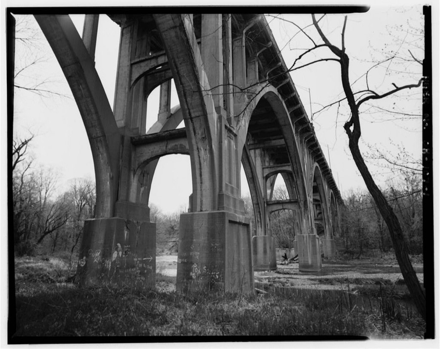
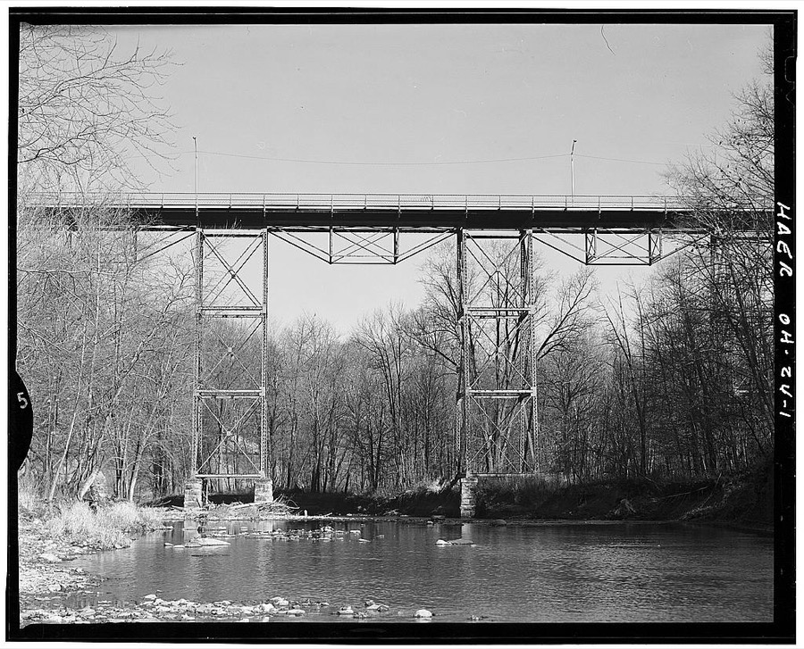
Ashtabula Viaduct, Spanning Ashtabula River at U.S. Route 20 (Prospect Road), Ashtabula, Ashtabula County, OH
Unattributed, . Library of Congress
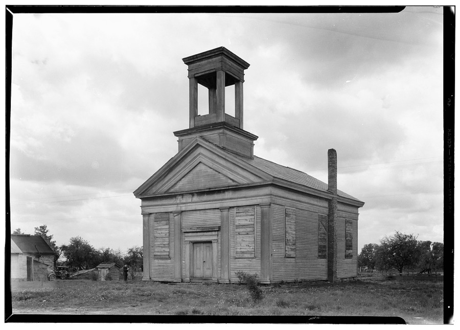
Freewill Baptist Church, Colebrook, Ashtabula County, OH
Unattributed, . Library of Congress
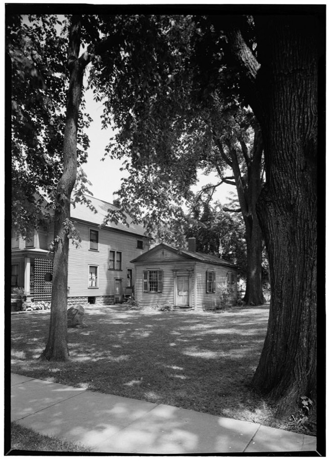
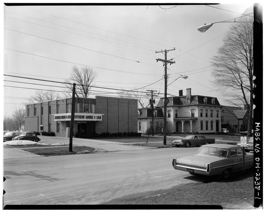
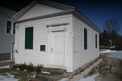
Joshua R. Giddings Law Office, Chestnut & Walnut Streets, Jefferson, Ashtabula County, OH
Unattributed, . Library of Congress
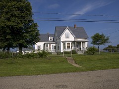
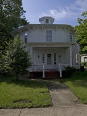
Benjamin Wade House, 22 Jefferson Street, Jefferson, Ashtabula County, OH
Unattributed, . Library of Congress
46th Street Bridge, Spanning Ashtabula River, Ashtabula, Ashtabula County, OH
Unattributed, . Library of Congress
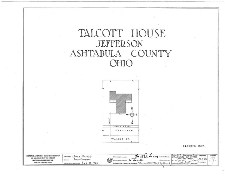
Talcott House, Walnut Street, Jefferson, Ashtabula County, OH
Unattributed, . Library of Congress

Places on the National Register

36

Every property in this county listed on the National Register of Historic Places, with the year it was listed and the federal nomination document.

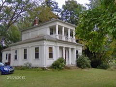
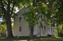
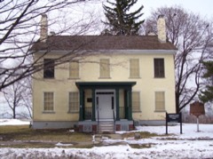
Photograph PropertyType ListedReference
Ashtabula County Courthouse Groupdistrict197575001316
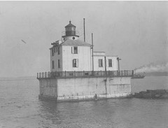
Ashtabula Harbor Lightstructure198383001943
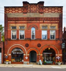
Ashtabula Harbour Commercial Districtdistrict197575001311
Ashtabula Post Office and Federal Buildingbuilding2019100004053
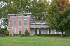
Austin, Eliphalet, Housebuilding197575001313
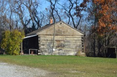
Blakeslee Log Cabinbuilding199898000319
Cahill, Michael, Housebuilding198888001711
Castle Blockbuilding2020100005127
Cleveland Hotel, Thebuilding200707001294
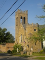
Congregational Church Of Austinburgbuilding197878002001
Conneaut Harbor West Breakwater Lightstructure199292000243
Conneaut Light Station Keeper's Dwellingbuilding199292001078
Cummins, David, Octagon Housebuilding197474001394
Eagle Cliff Hotelbuilding199595001197
Giddings, Joshua Reed, Law Officebuilding197474001396
Griggs Grange No. 1467building199595001414
Harmon, Francis E., Housebuilding197575001312
Harpersfield Covered Bridgestructure197575001315
Harwood Blockbuilding197878002002
Henderson, John, Housebuilding197676001368
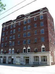
Hotel Ashtabulabuilding198585001342
House, Col. Erastus, Housebuilding197474001397
Hubbard, Col. William, Housebuilding197373001385
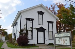
Jefferson Town Hallbuilding198181000428
Kilpi Hallbuilding197676001365
Lake Shore & Michigan Southern Railroad Stationbuilding198282001357
Lake Shore And Michigan Southern Passenger Depotbuilding197575001314
Mother of Sorrows Churchbuilding199595000170
New Lyme Institutebuilding197676001367
New Lyme Town Hallbuilding197575001317
Peck, L. W., Housebuilding197676001366
Rock Creek Schoolbuilding200505000023
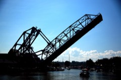
Shandy Hallbuilding197474001395
West Fifth Street Bridgestructure198585001801
Windsor Mills Christ Church Episcopalbuilding197575001319
Wiswell Road Covered Bridgestructure197373001386

Covered bridges

2

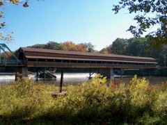
Ashtabula County holds 2 covered bridges on the National Register, more than any other property type here. Each is a listed structure with a federal nomination on file.

Harpersfield Covered BridgeListed 1975, 0 map sheets show this crossing
Wiswell Road Covered BridgeListed 1973, 0 map sheets show this crossing

Digitised newspapers

1 issue

Sampled issues, machine-read from the Library of Congress scan and published page by page, so every headline and column is searchable text.

Ashtabula Weekly Telegraph

Ashtabula, Ohio, 1880 to 1886. Machine-read from the Library of Congress scan.

Bird's-eye views and land ownership maps

10

Drawn when these were printed as single large sheets: the town seen from the air, and the county divided into its farms with every owner named. Each opens the original at the Library of Congress.

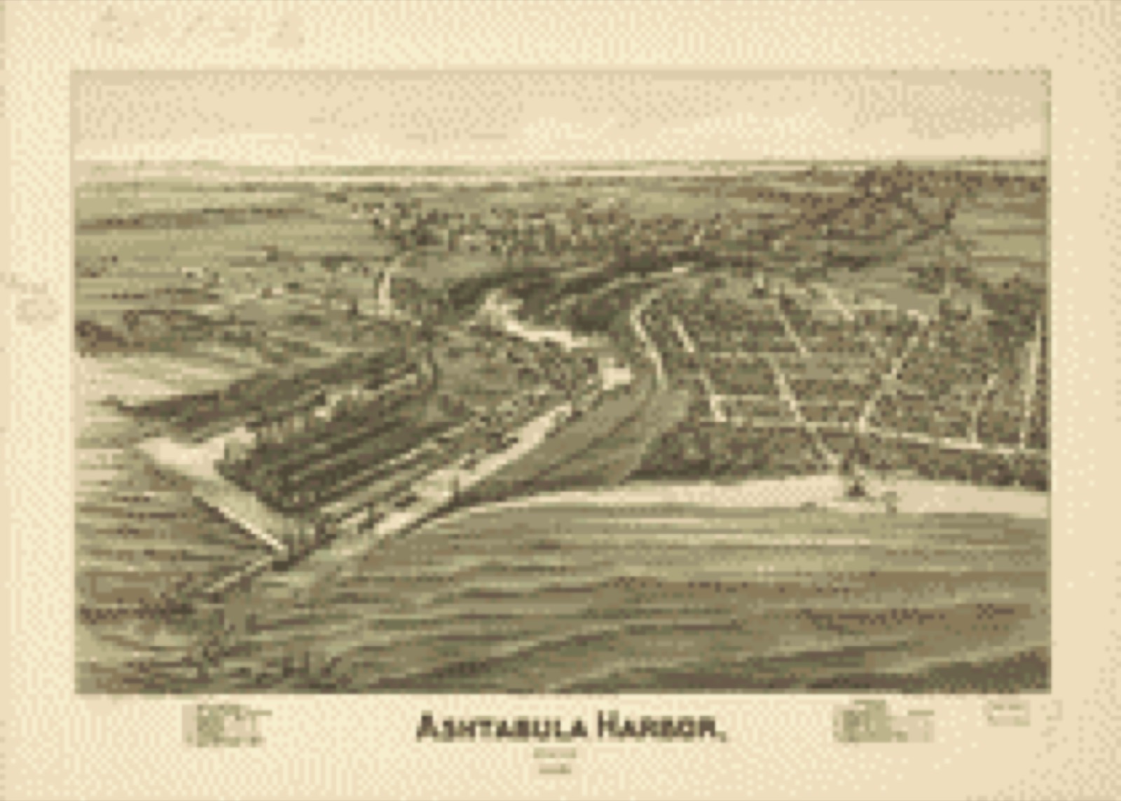
Bird's-eye view, 1896 - Ashtabula Harbor, Ohio 1896
Bird's-eye view (1896) - Ashtabula Harbor, Ohio 1896. Library of Congress.
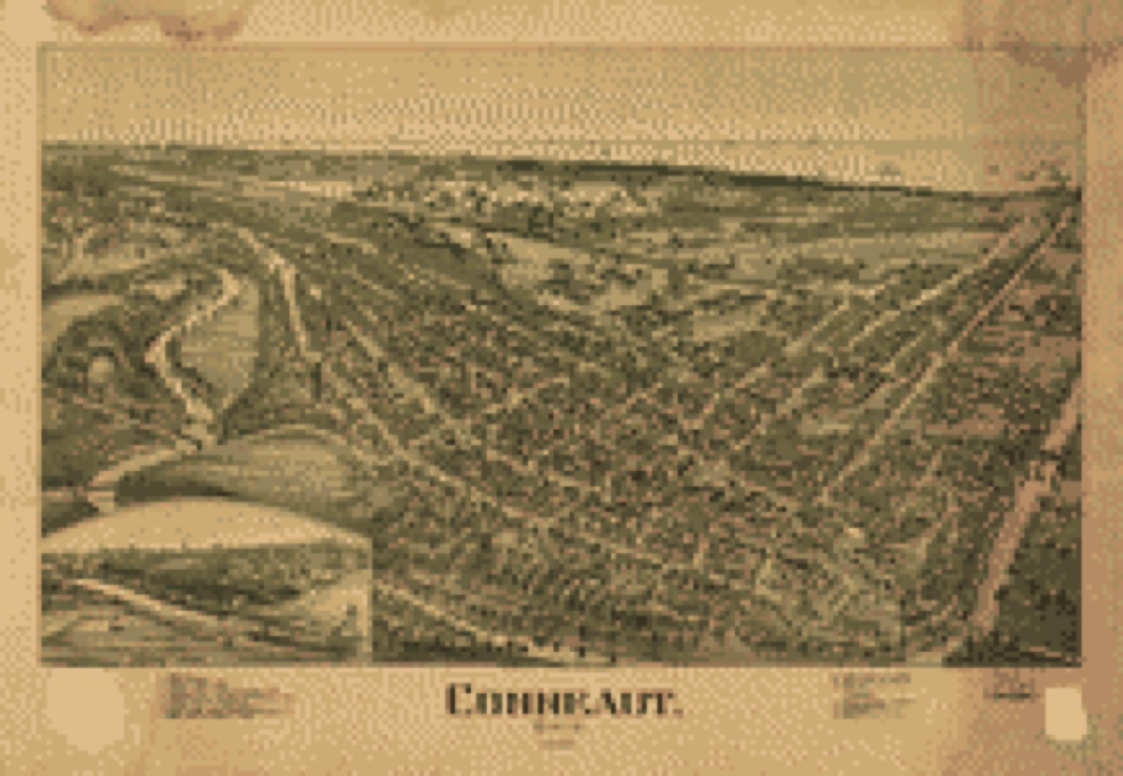
Bird's-eye view, 1896 - Conneaut, Ohio 1896
Bird's-eye view (1896) - Conneaut, Ohio 1896. Library of Congress.
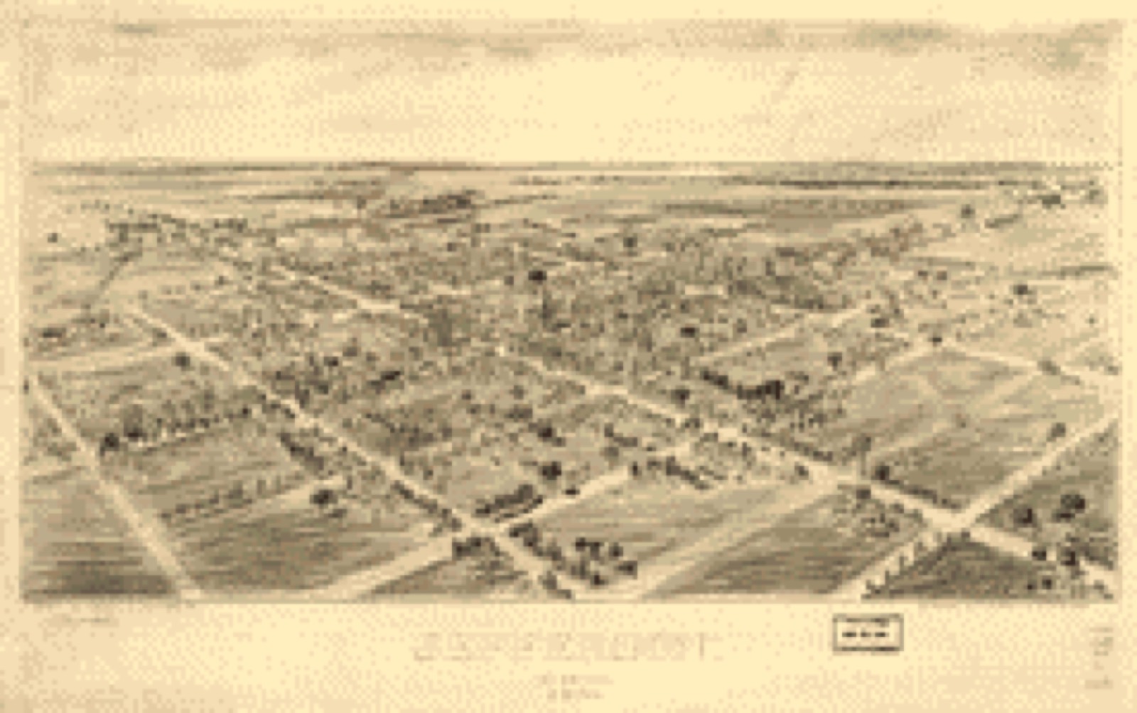
Bird's-eye view, 1901 - Jefferson, Ohio 1901
Bird's-eye view (1901) - Jefferson, Ohio 1901. Library of Congress.
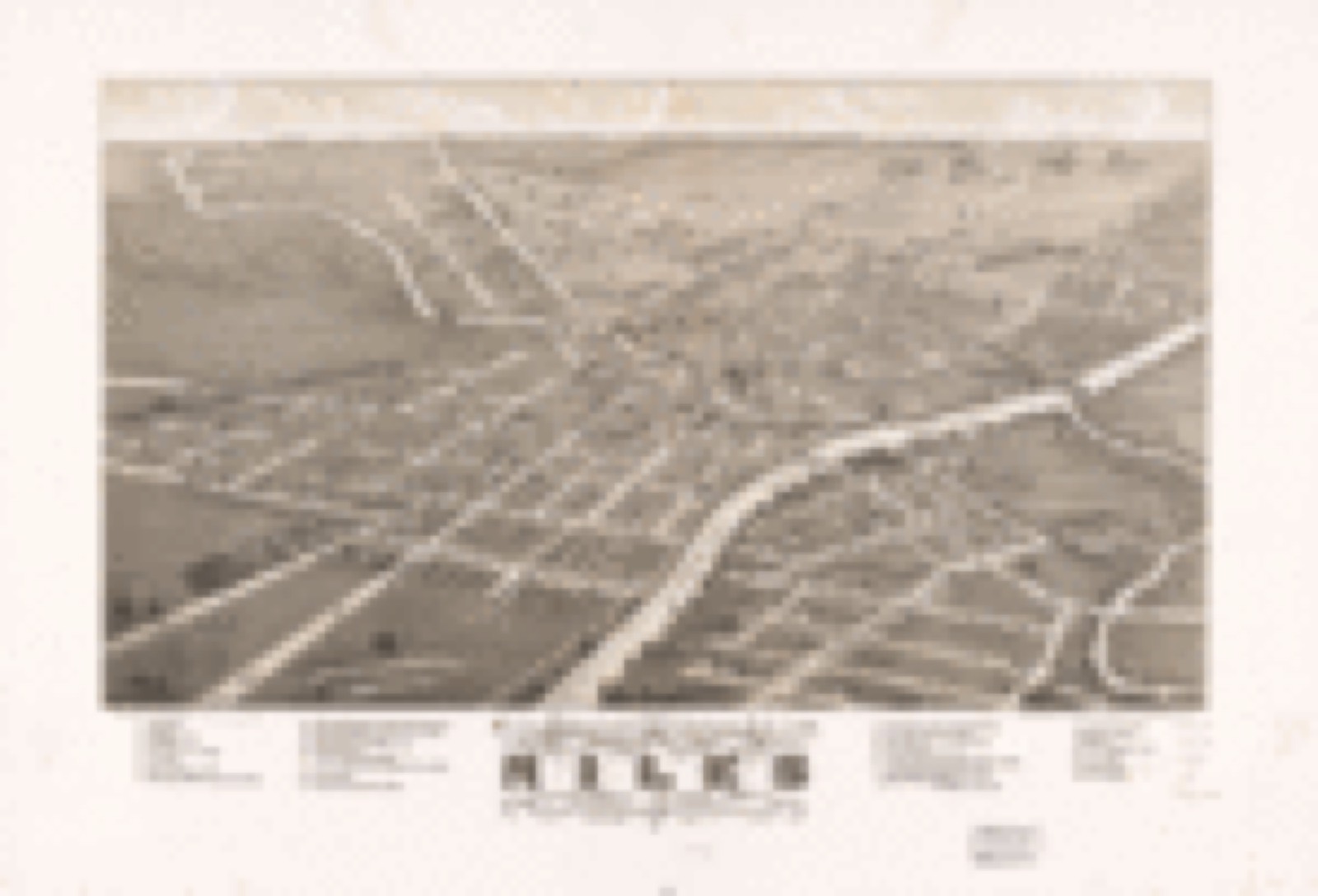
Bird's-eye view, 1882 - Panoramic view of the city of Niles, Trumbull Co., Ohio 1882
Bird's-eye view (1882) - Panoramic view of the city of Niles, Trumbull Co., Ohio 1882. Library of Congress.
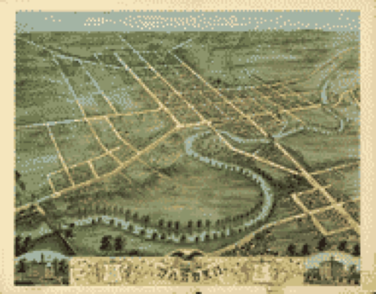
Bird's-eye view, 1870 - Bird's eye view of Warren, Trumbull County, Ohio 1870
Bird's-eye view (1870) - Bird's eye view of Warren, Trumbull County, Ohio 1870. Library of Congress.
Land ownership map, 1856 - [Ashtabula County, Ohio]
Land ownership map (1856) - [Ashtabula County, Ohio]. Library of Congress.
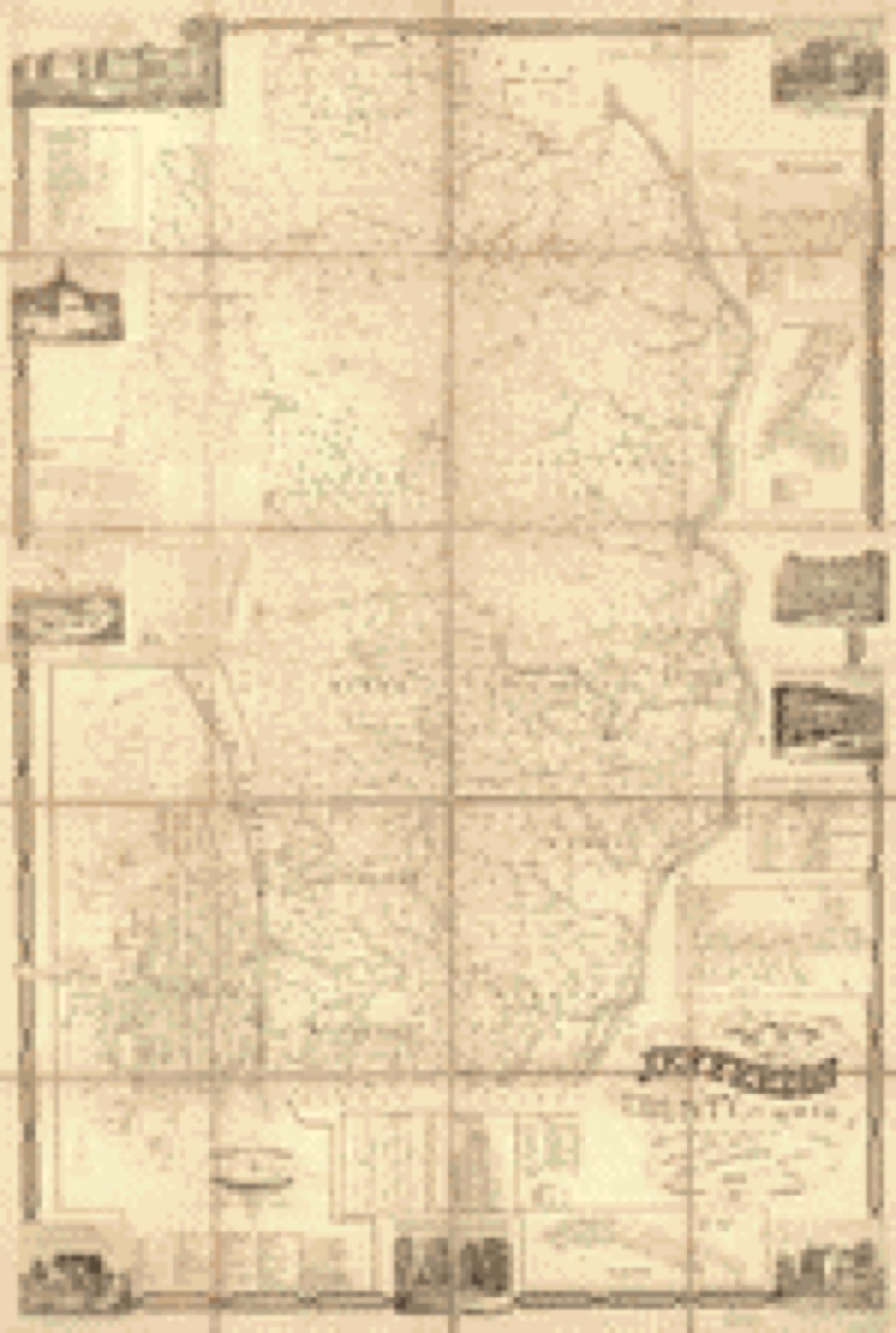
Land ownership map, 1856 - Map of Jefferson County, Ohio : from actual surveys
Land ownership map (1856) - Map of Jefferson County, Ohio : from actual surveys. Library of Congress.
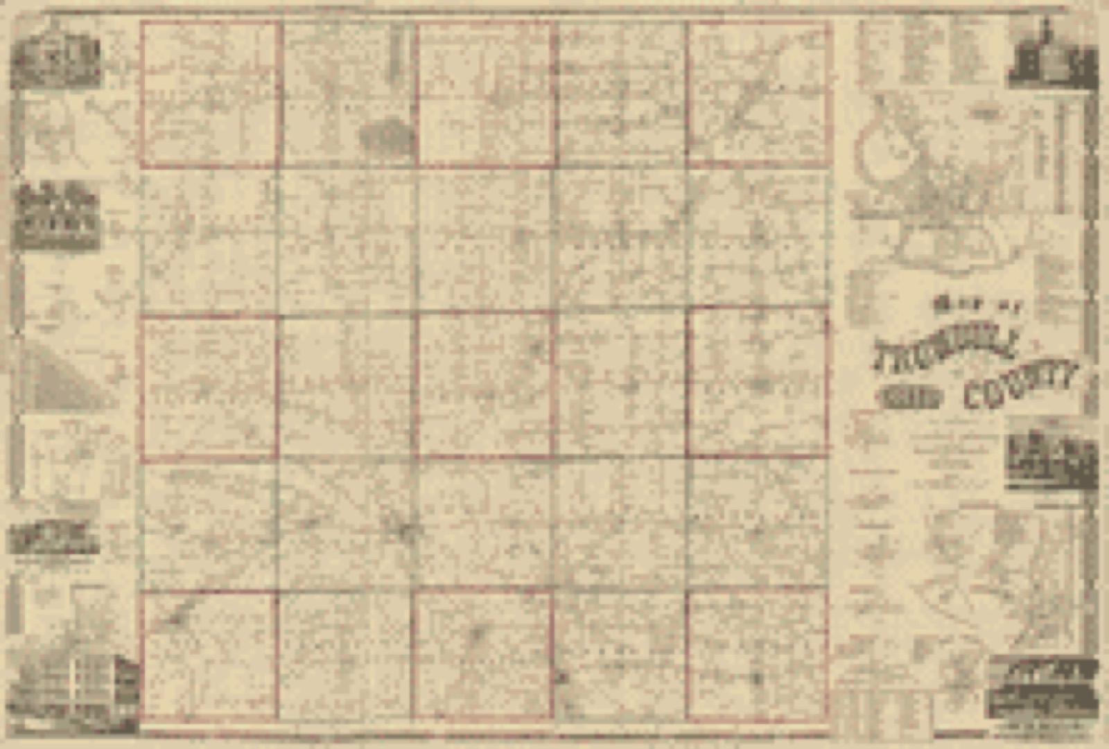
Land ownership map, 1856 - Map of Trumbull County, Ohio
Land ownership map (1856) - Map of Trumbull County, Ohio. Library of Congress.
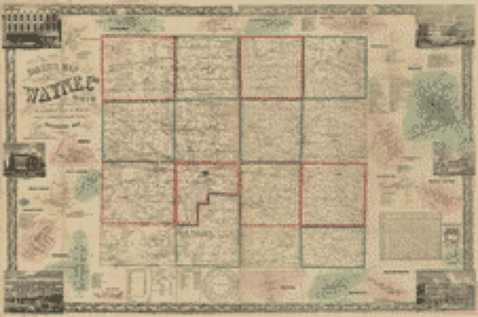
Land ownership map, 1856 - Baker's map of Wayne Co., Ohio
Land ownership map (1856) - Baker's map of Wayne Co., Ohio. Library of Congress.
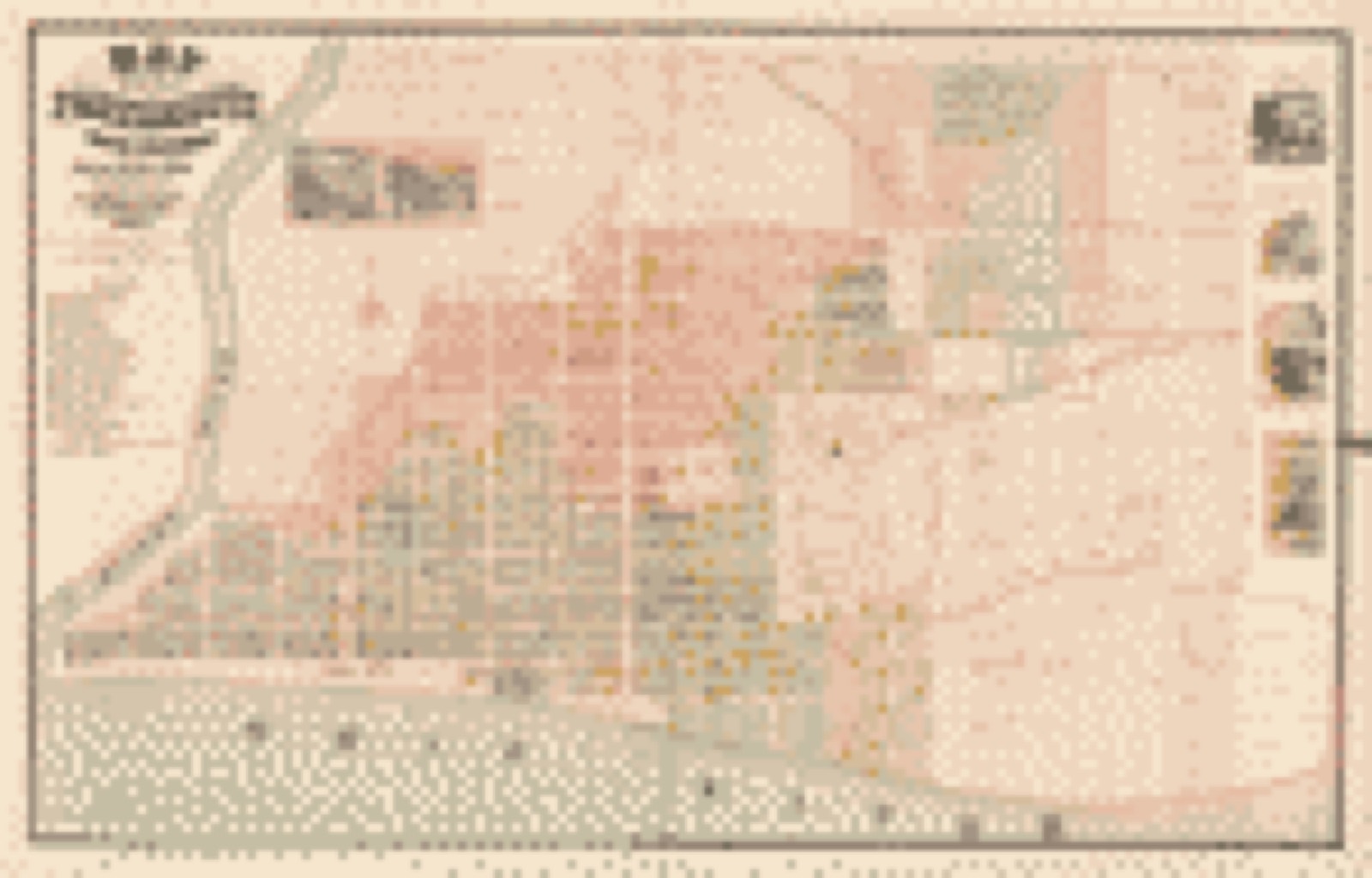
Land ownership map, 1868 - Map of the City of Portsmouth and Wayne Township, Scioto County, Ohio
Land ownership map (1868) - Map of the City of Portsmouth and Wayne Township, Scioto County, Ohio. Library of Congress.

Photographs from libraries nationwide

9 of 27 shown

Selected from the Digital Public Library of America's 27 image records catalogued for this county. Every one shown here carries a public-domain status or a licence that permits reuse on a site that carries advertising; non-commercial, share-alike and restricted images are excluded. The selection is spread across the county's towns (at most eight per town), so no single institution's bulk upload crowds out the rest. Each opens the holding library's record, and the complete set at the Digital Public Library of America is one click away.
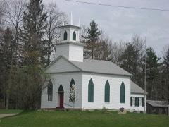
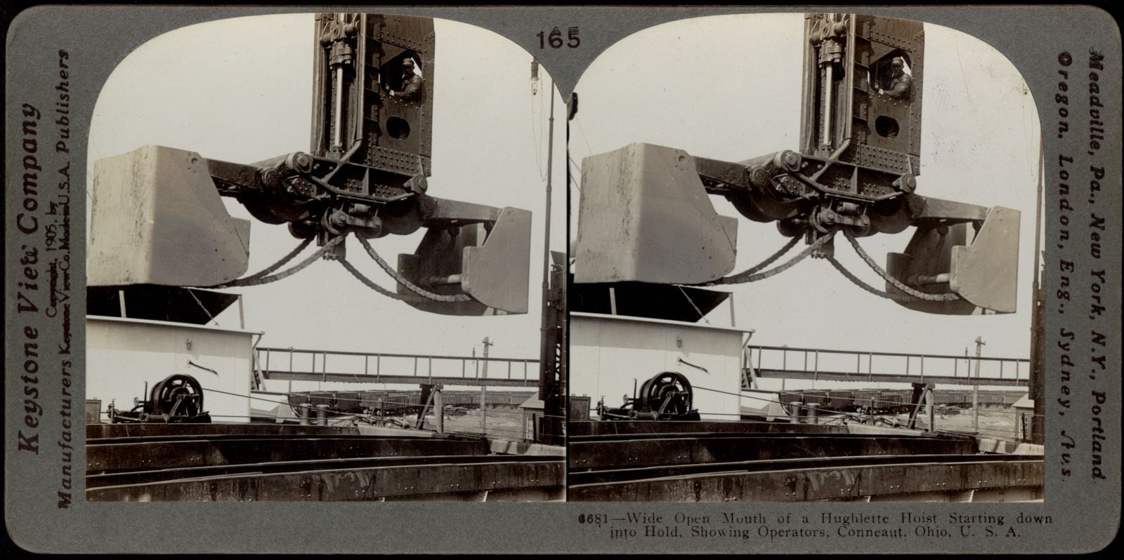
Wide open mouth of a Hulett Hoist, Boston Public Library - undated
Wide open mouth of a Hulett Hoist. Boston Public Library, via the Digital Public Library of America.
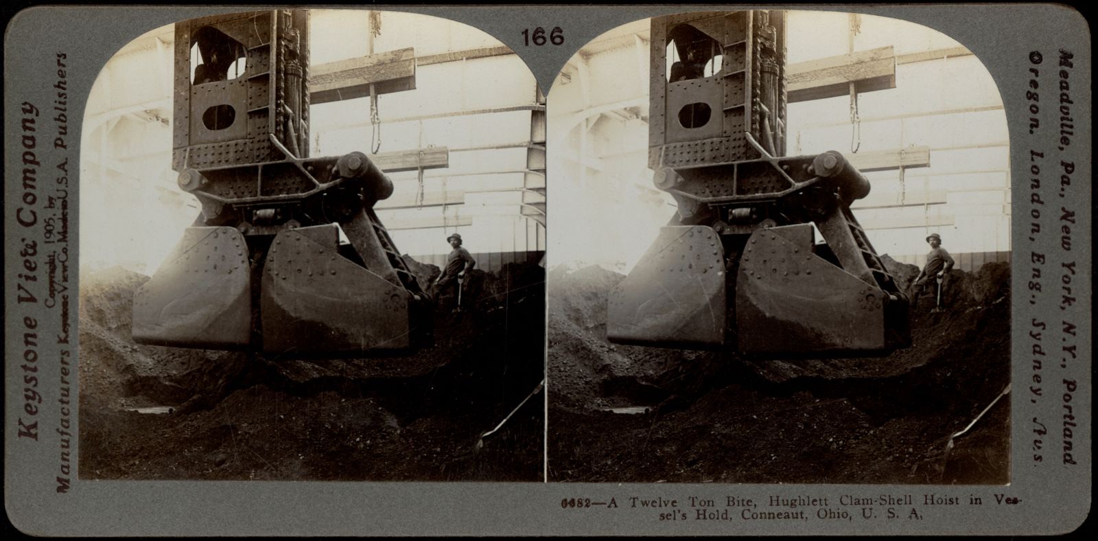
A twelve-ton bite, Boston Public Library - undated
A twelve-ton bite. Boston Public Library, via the Digital Public Library of America.
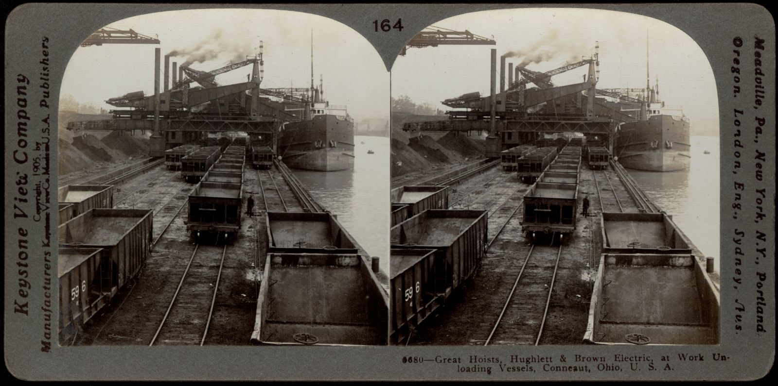
Great hoists, Hulett and Brown electric at work, Boston Public Library - undated
Great hoists, Hulett and Brown electric at work. Boston Public Library, via the Digital Public Library of America.
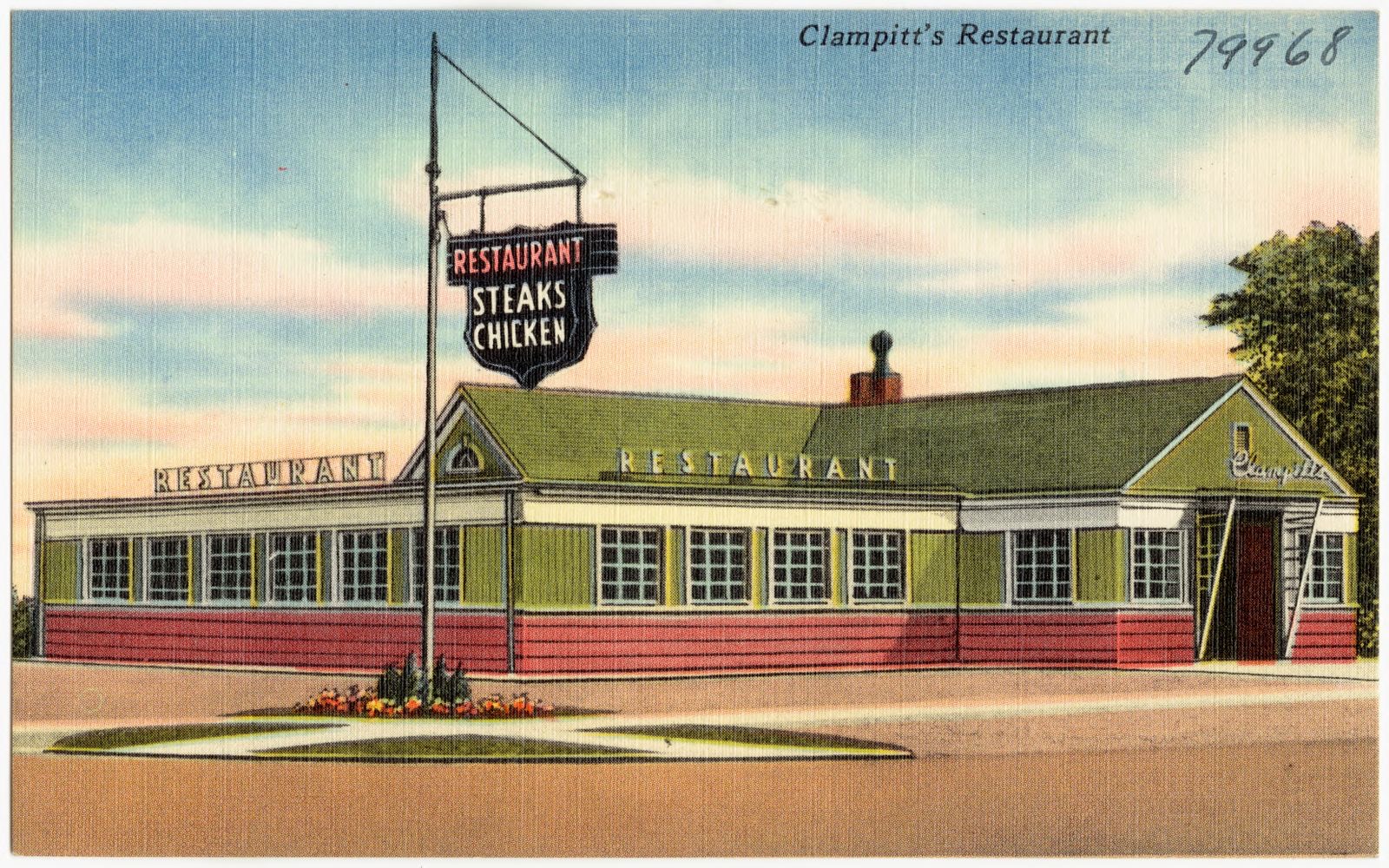
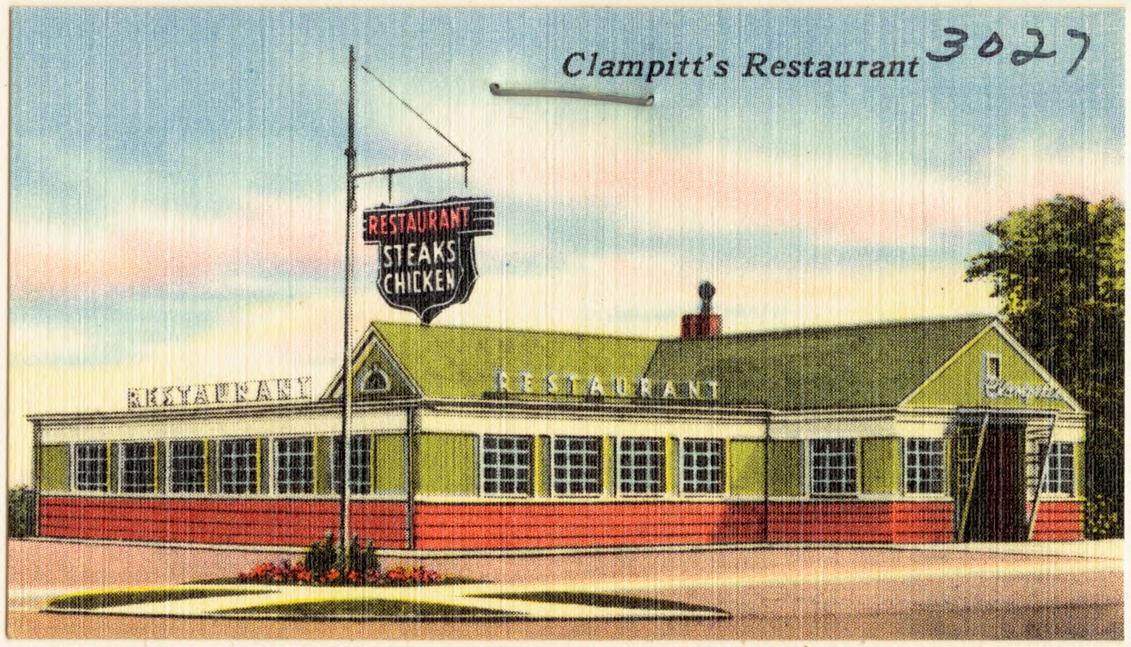
Clampitt's Restaurant, Boston Public Library - undated
Clampitt's Restaurant. Boston Public Library, via the Digital Public Library of America.
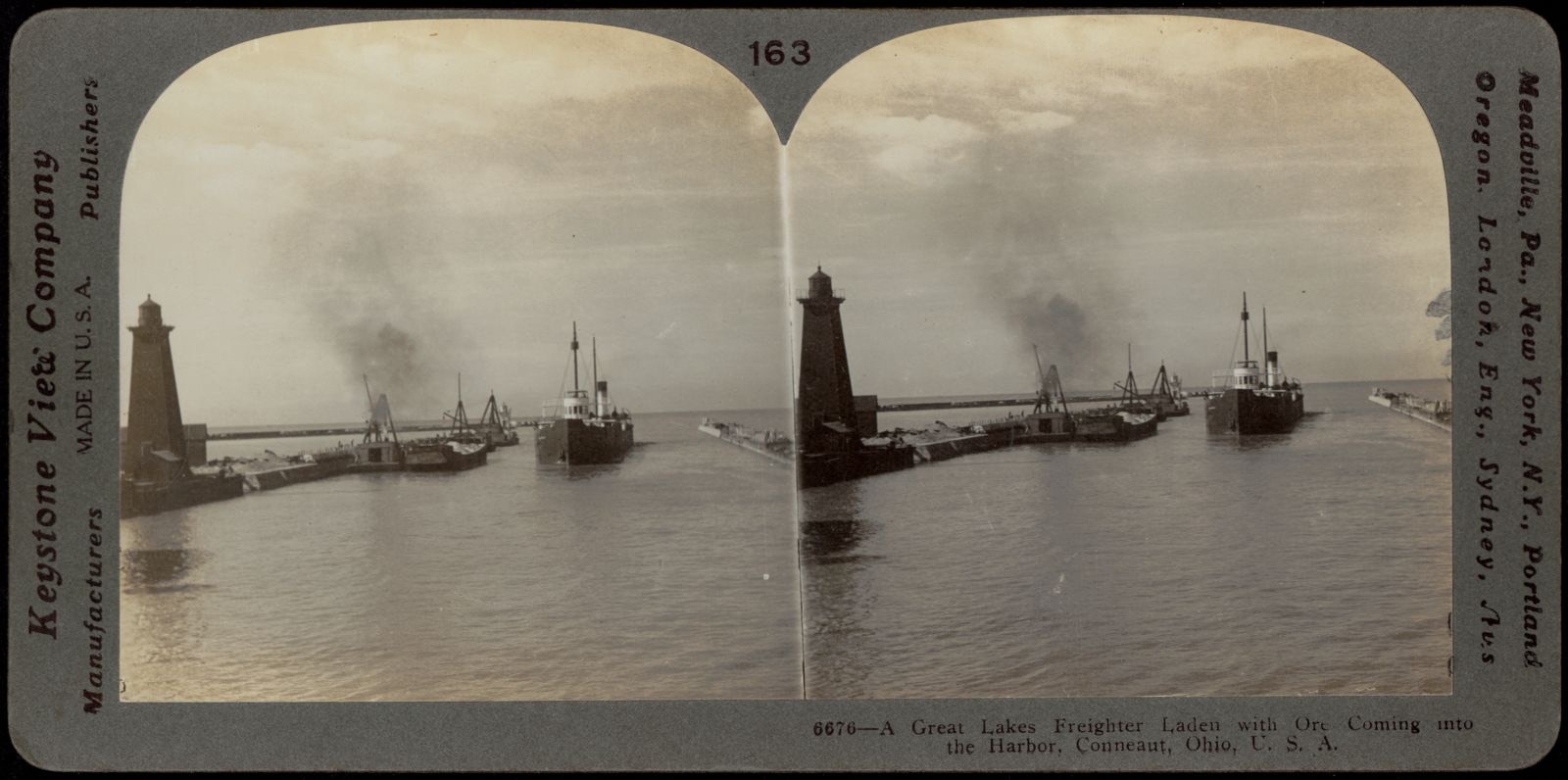
A Great Lakes freighter coming into harbor, Boston Public Library - undated
A Great Lakes freighter coming into harbor. Boston Public Library, via the Digital Public Library of America.
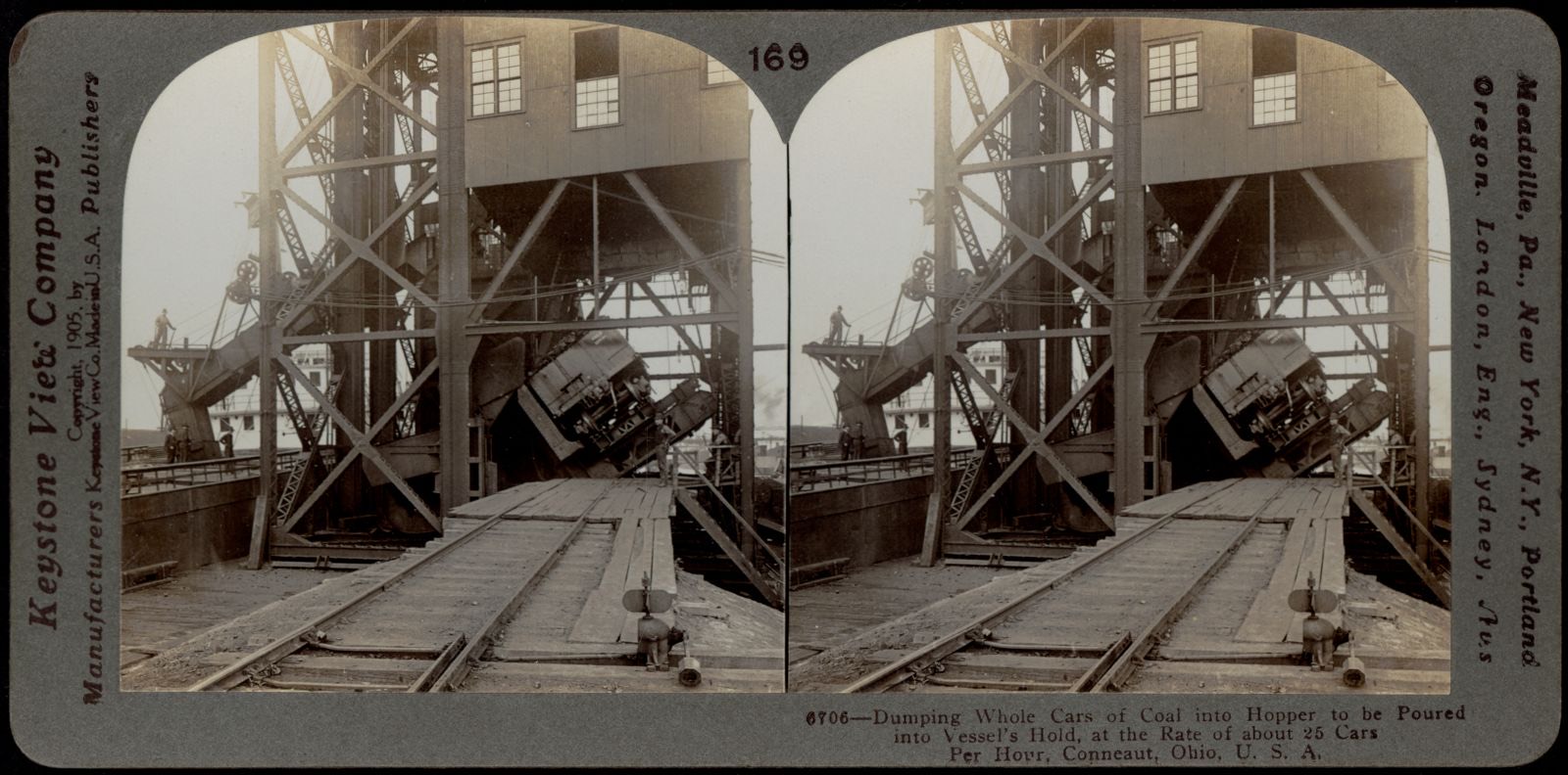
Dumping cars of coal into hopper, Boston Public Library - undated
Dumping cars of coal into hopper. Boston Public Library, via the Digital Public Library of America.
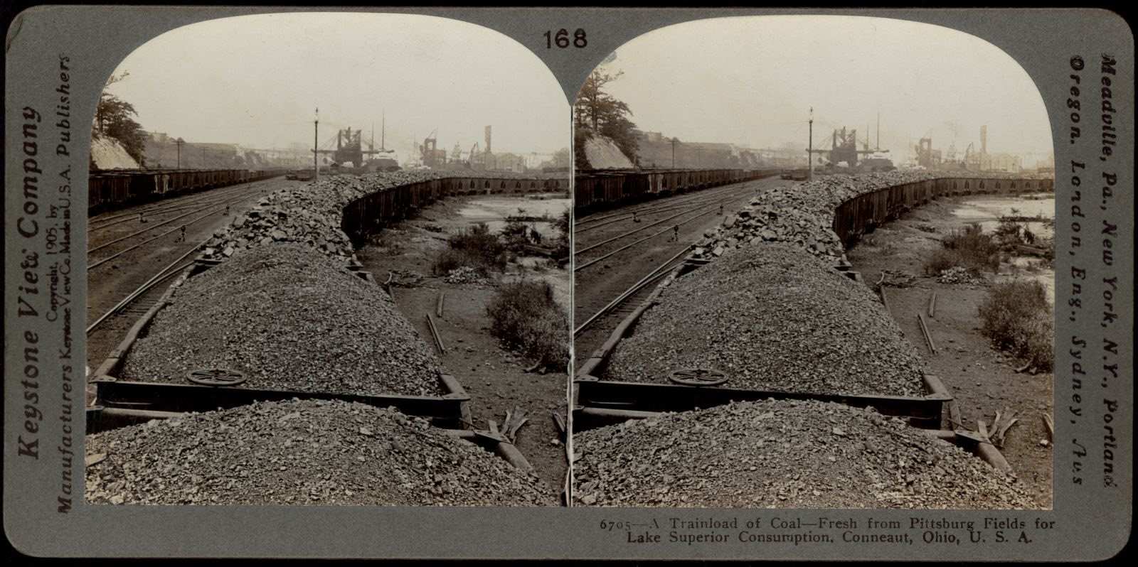
A trainload of coal from Pittsburg coal mines for Lake Superior Ports, Boston Public Library - undated
A trainload of coal from Pittsburg coal mines for Lake Superior Ports. Boston Public Library, via the Digital Public Library of America.
The great bridge on wheels, Boston Public Library - undated
The great bridge on wheels. Boston Public Library, via the Digital Public Library of America.
Clampitt's Restaurant, Boston Public Library - undated
Clampitt's Restaurant. Boston Public Library, via the Digital Public Library of America.

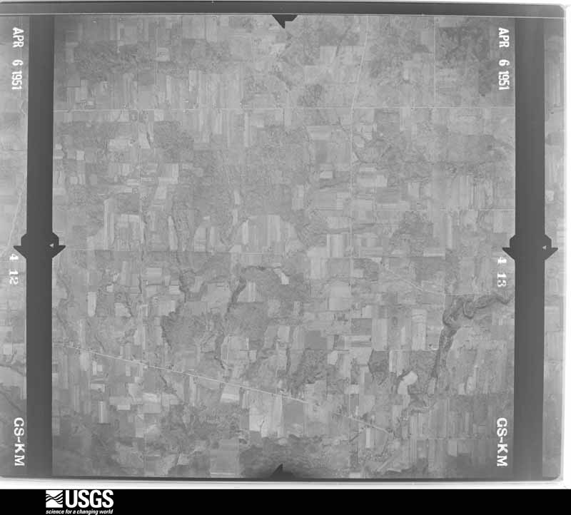
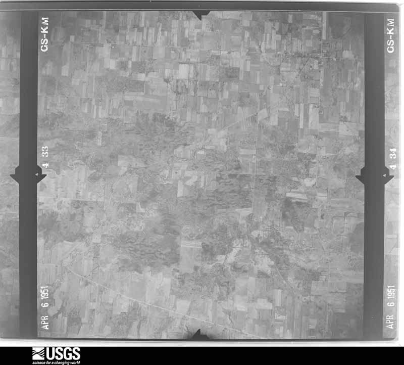
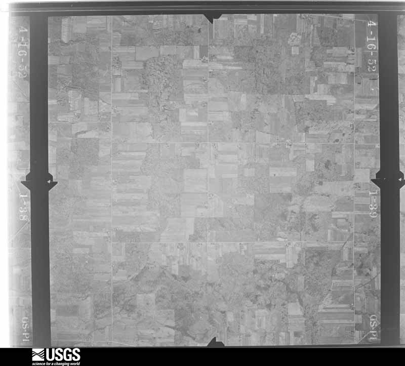
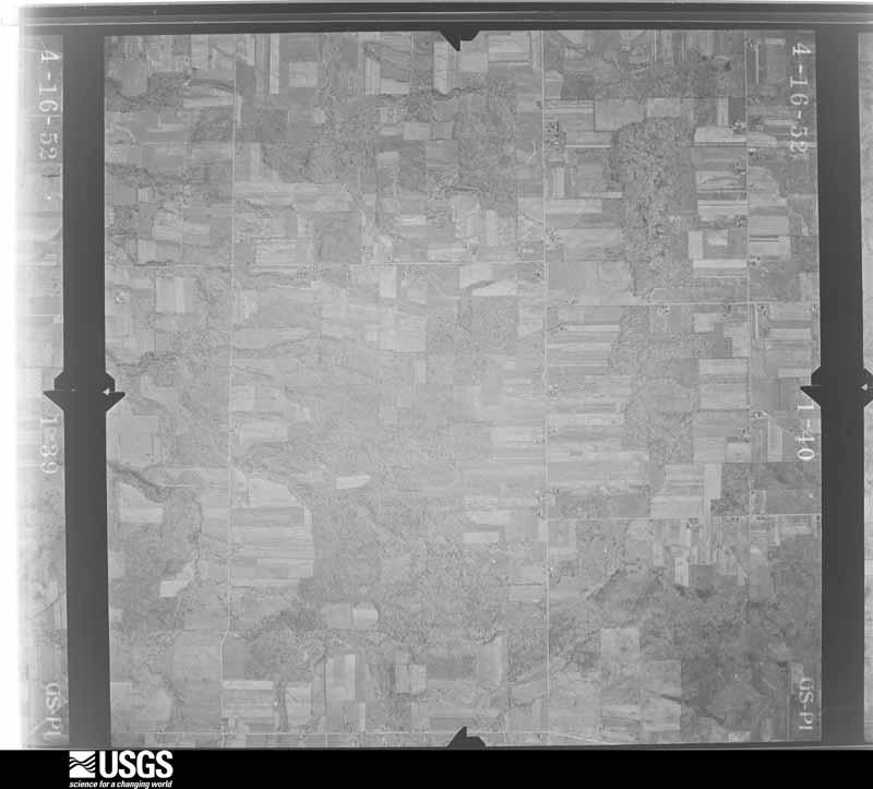
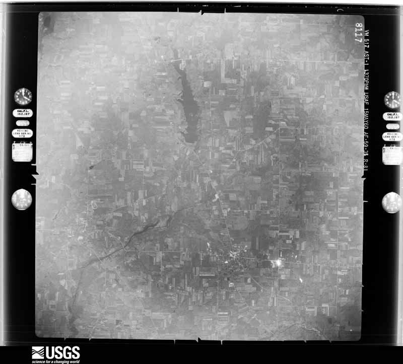
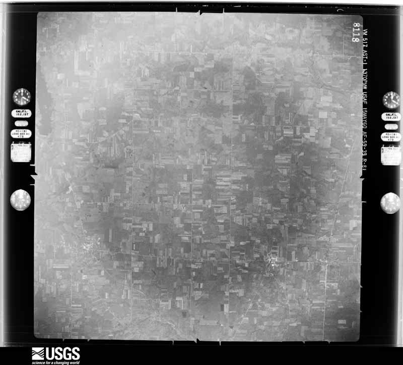
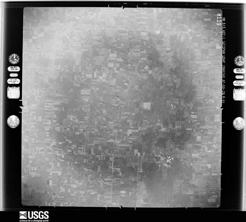
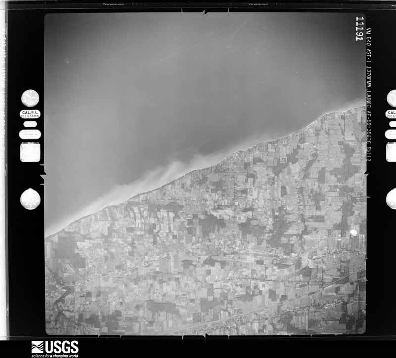
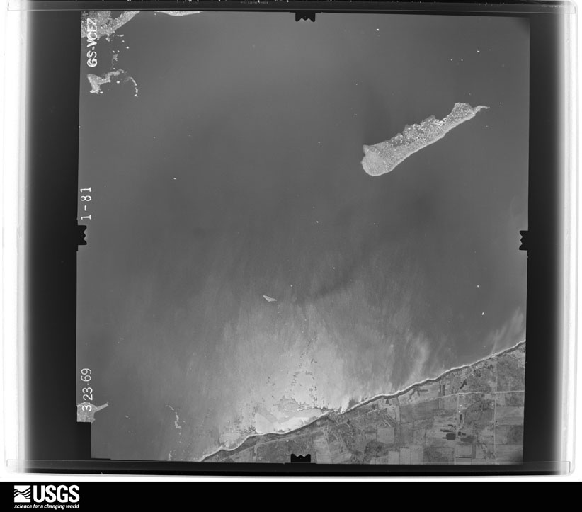
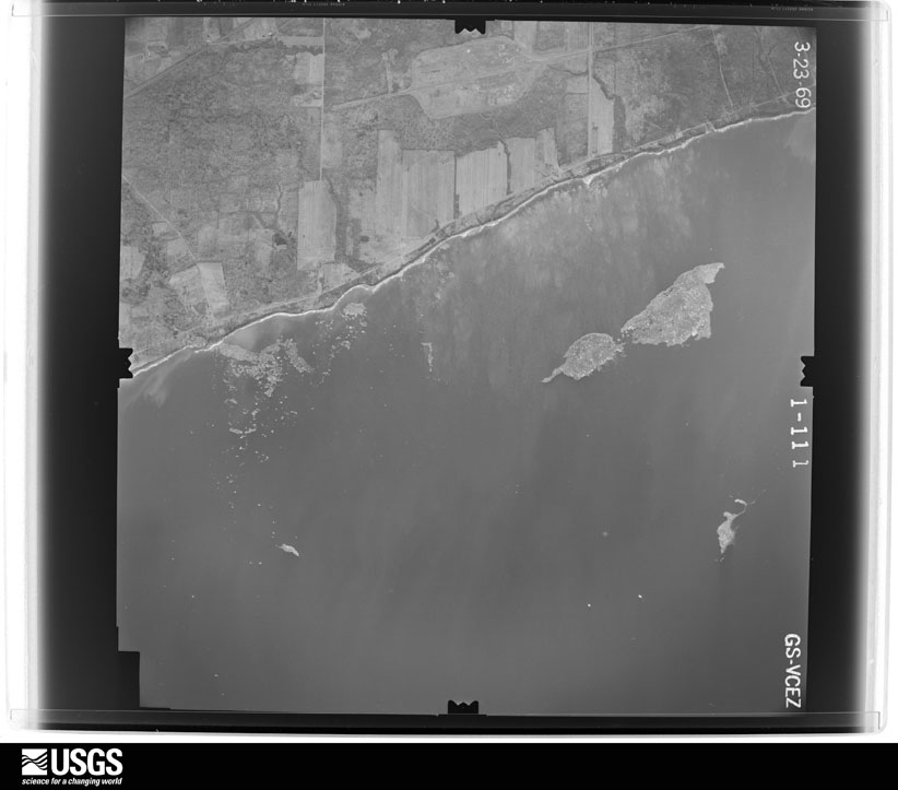
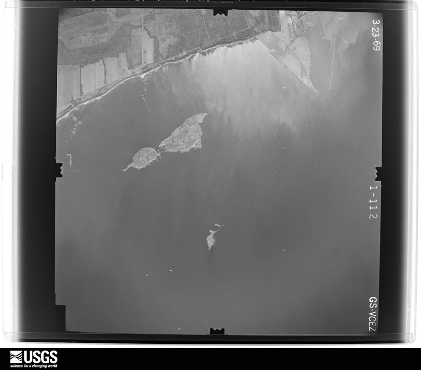
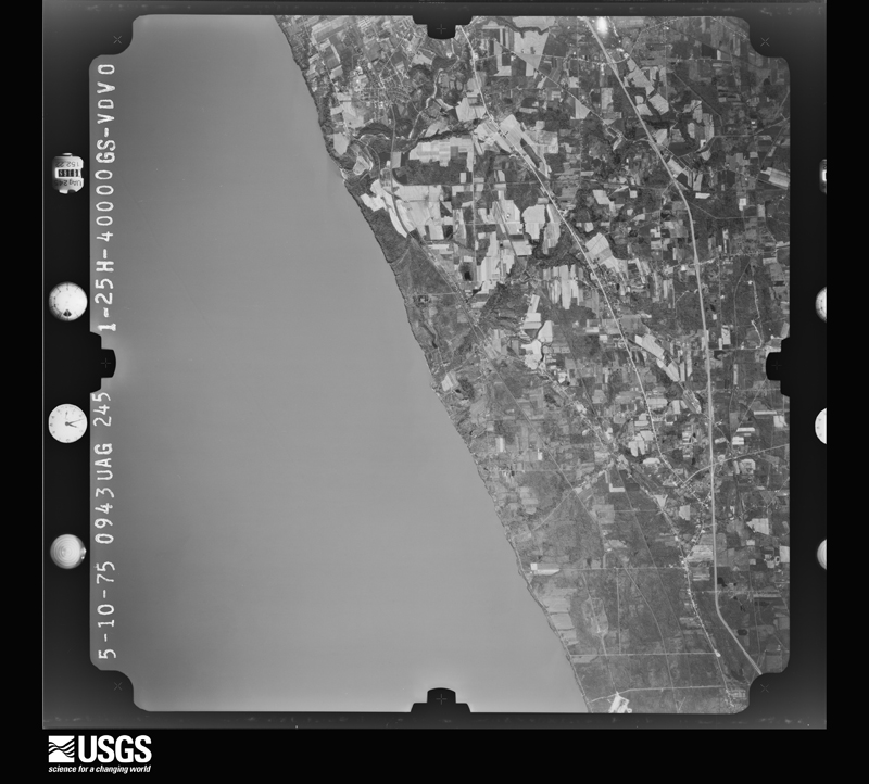
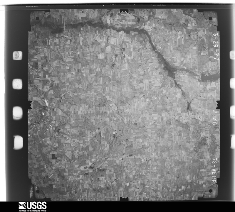
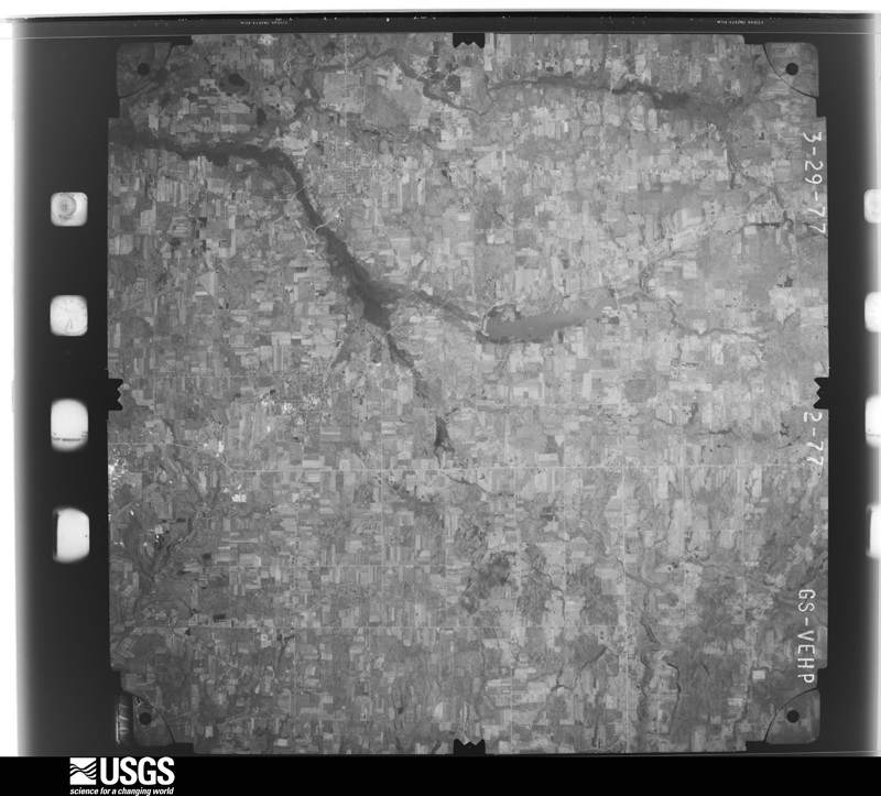
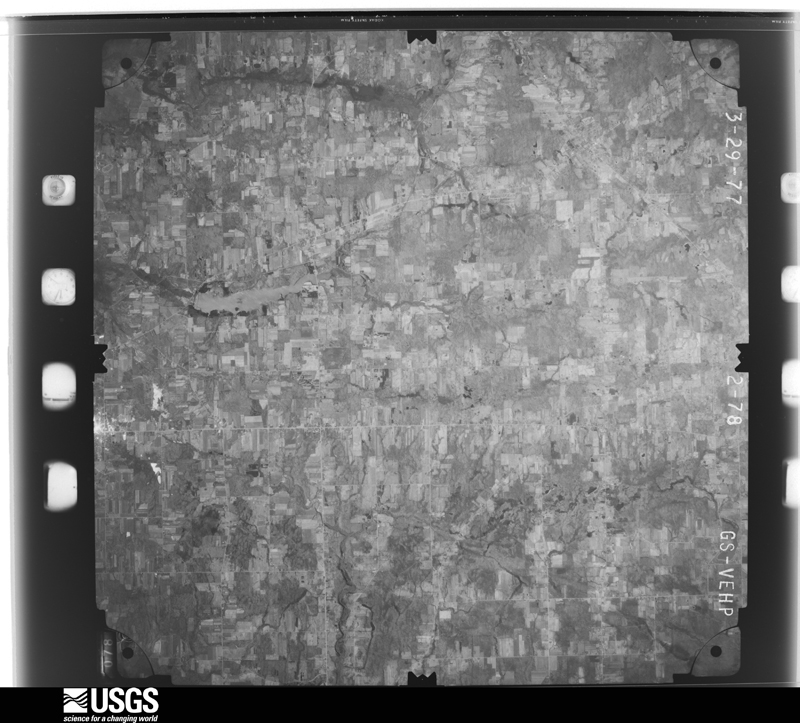
The county from the air

48 of 934 shown

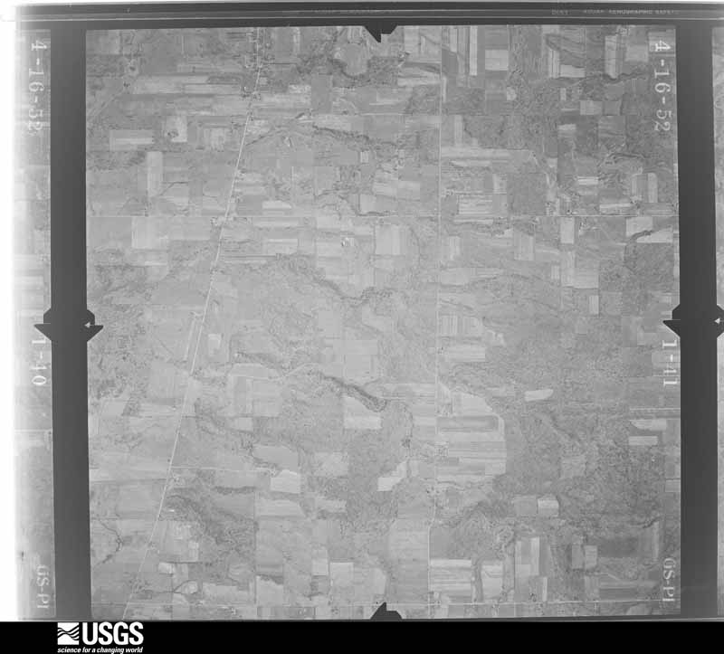
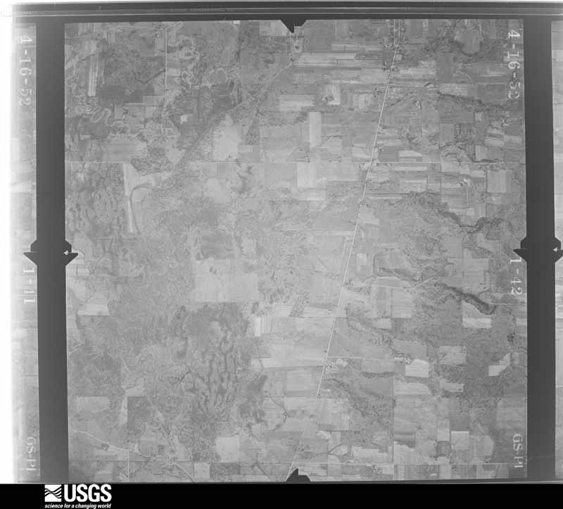
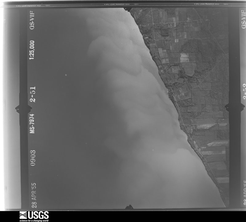
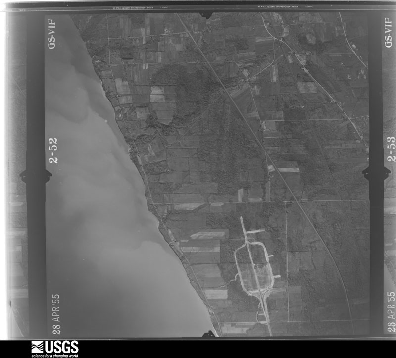
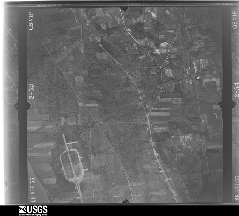
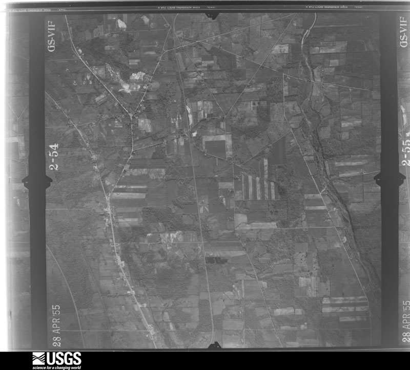
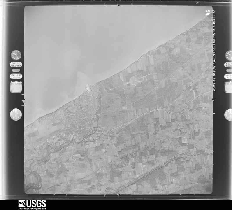
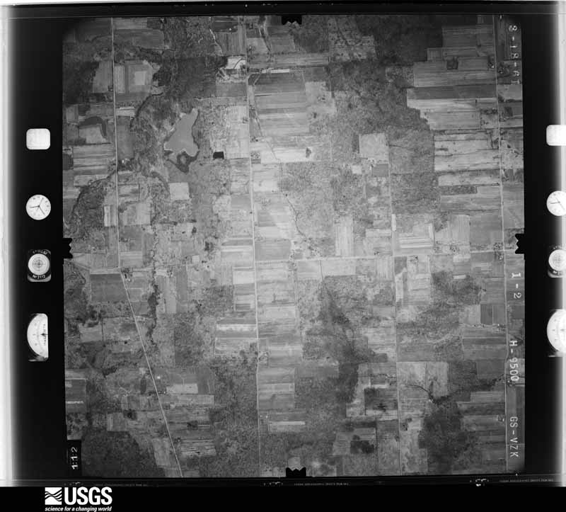
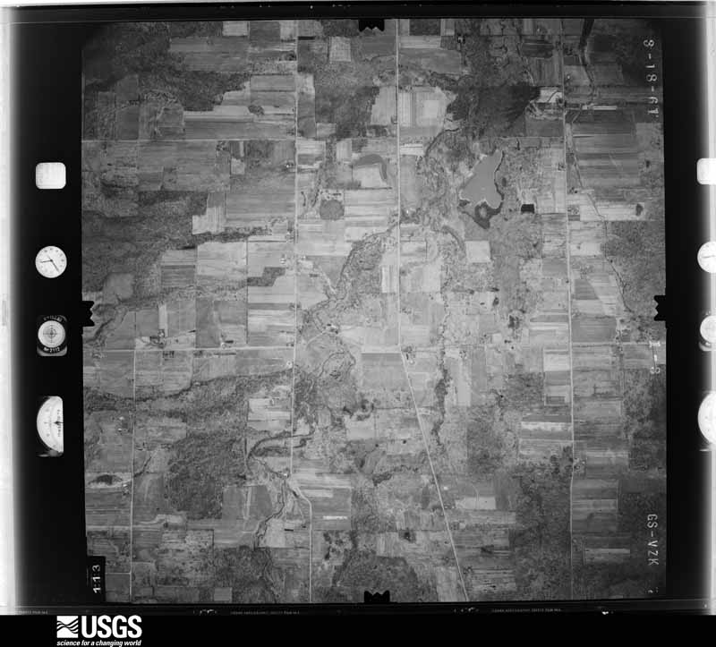
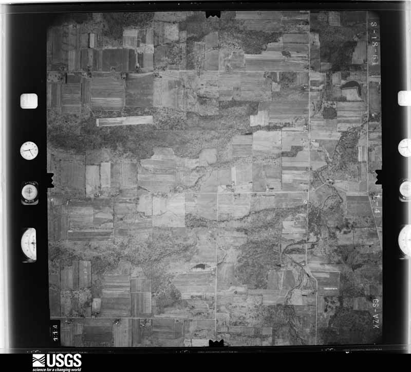
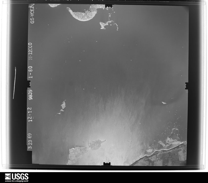
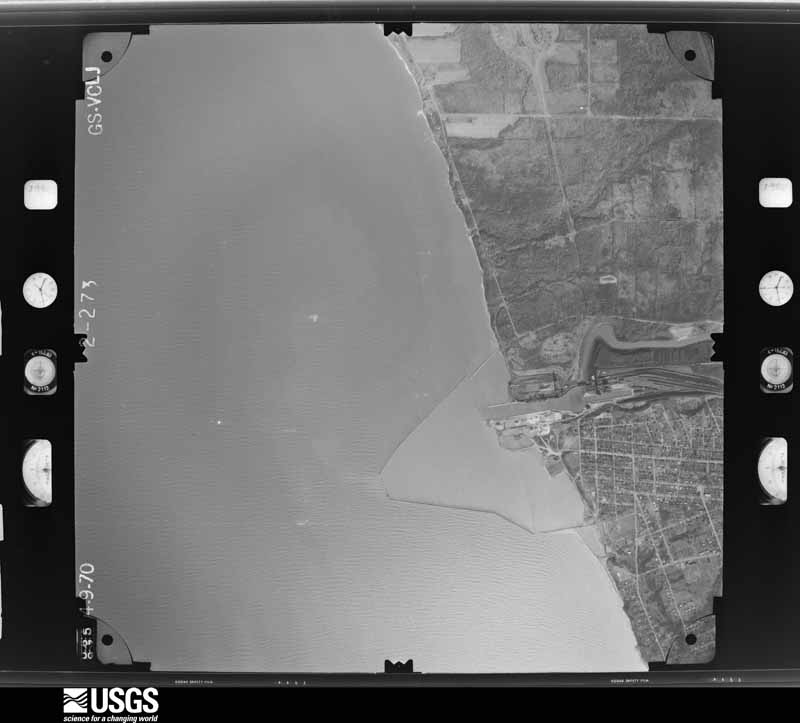
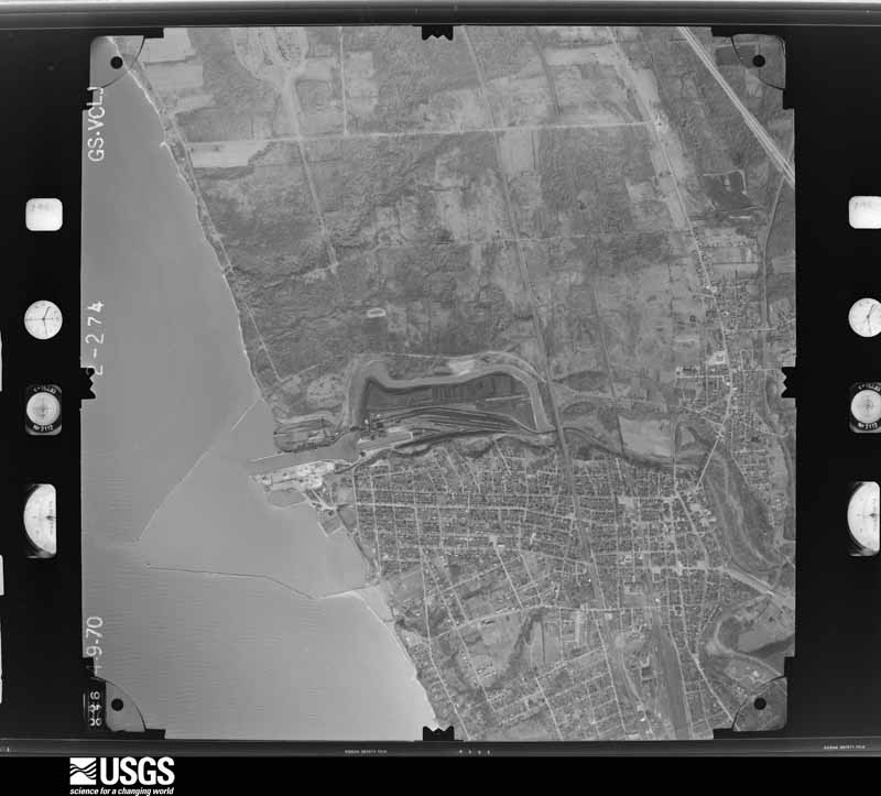
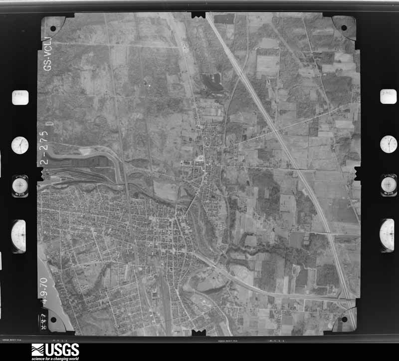
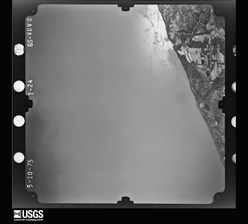
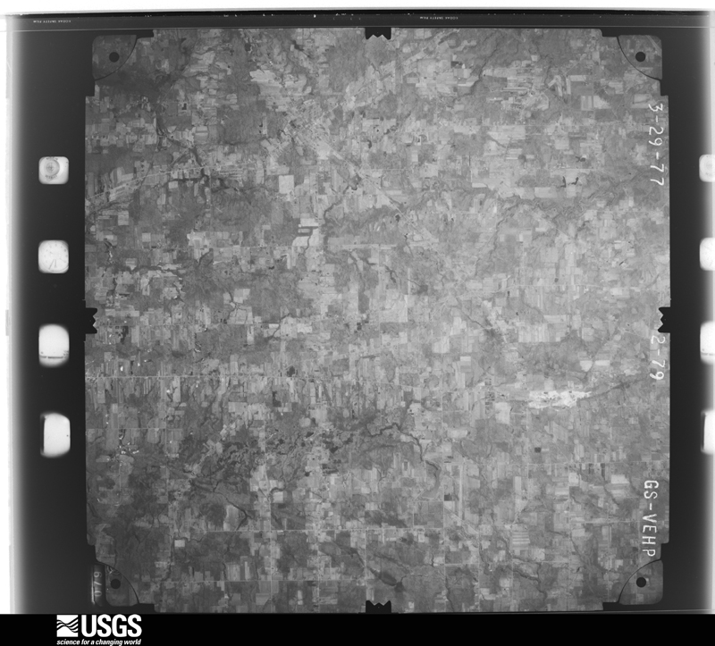
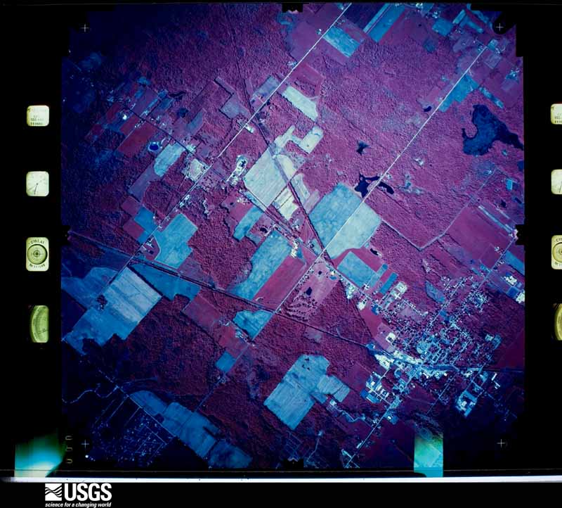
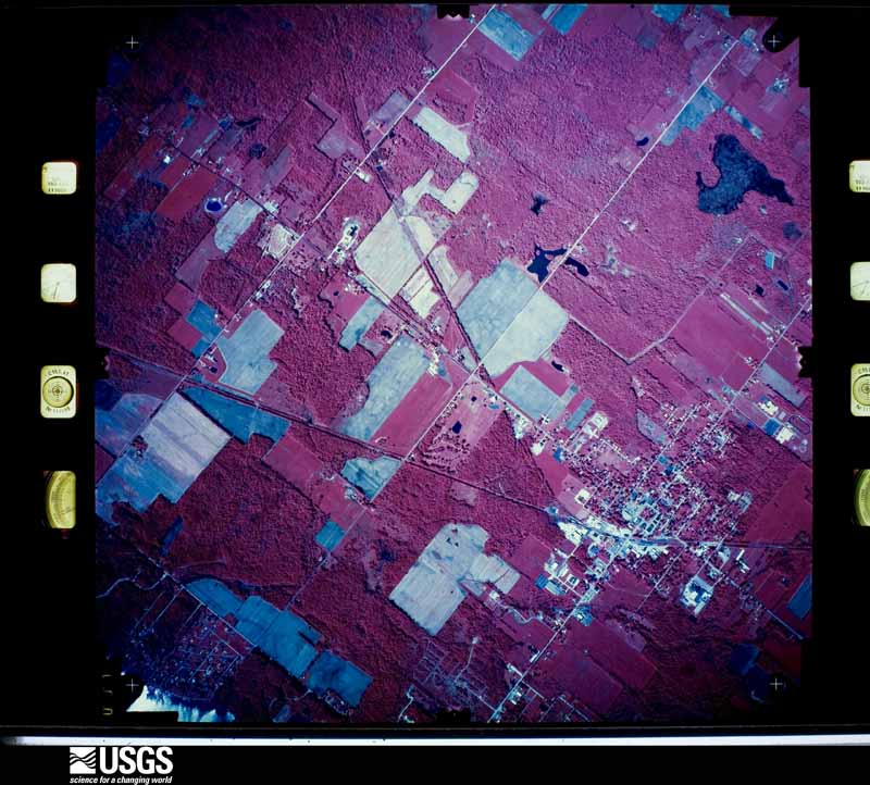
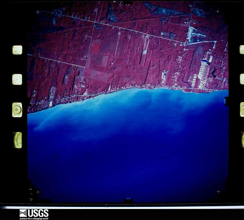
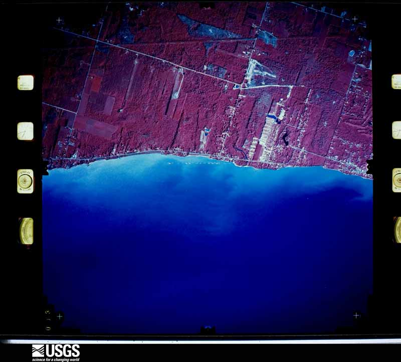
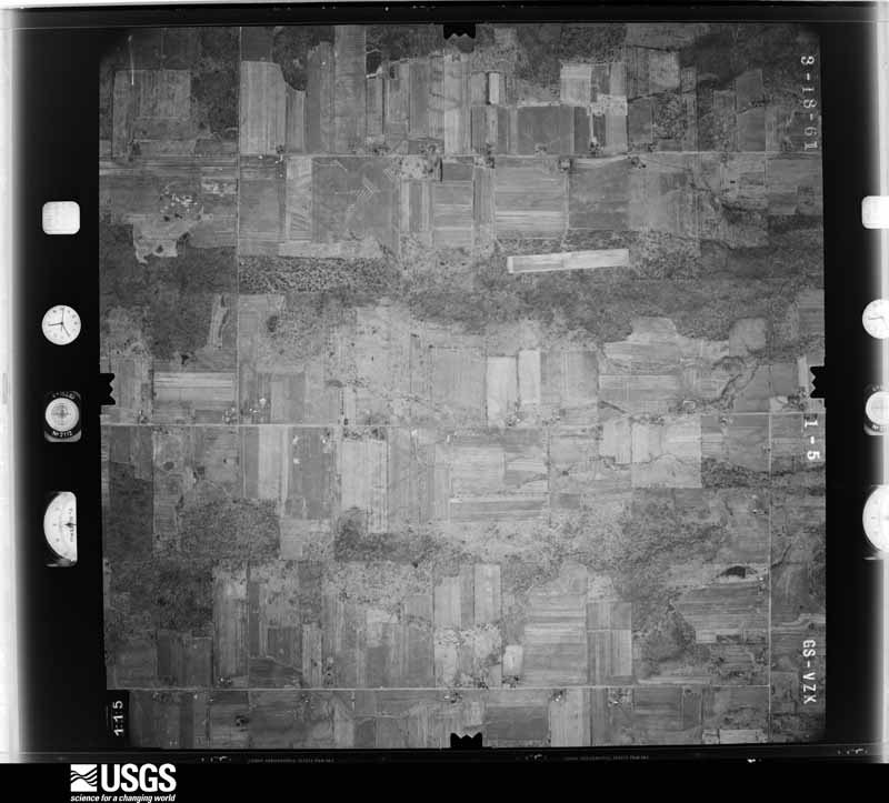
Flown by the U.S. Geological Survey between 1937 and 1989, the Aerial Photo Single Frames collection is the definitive mid-century view of the land: fields, roads and rivers as the camera saw them. 934 frames touch this county; the selection below spreads across the decades of flights (at most four per year), so one flight cannot crowd out the rest. The full set is free to browse and download at EarthExplorer under the dataset Aerial Photo Single Frames.

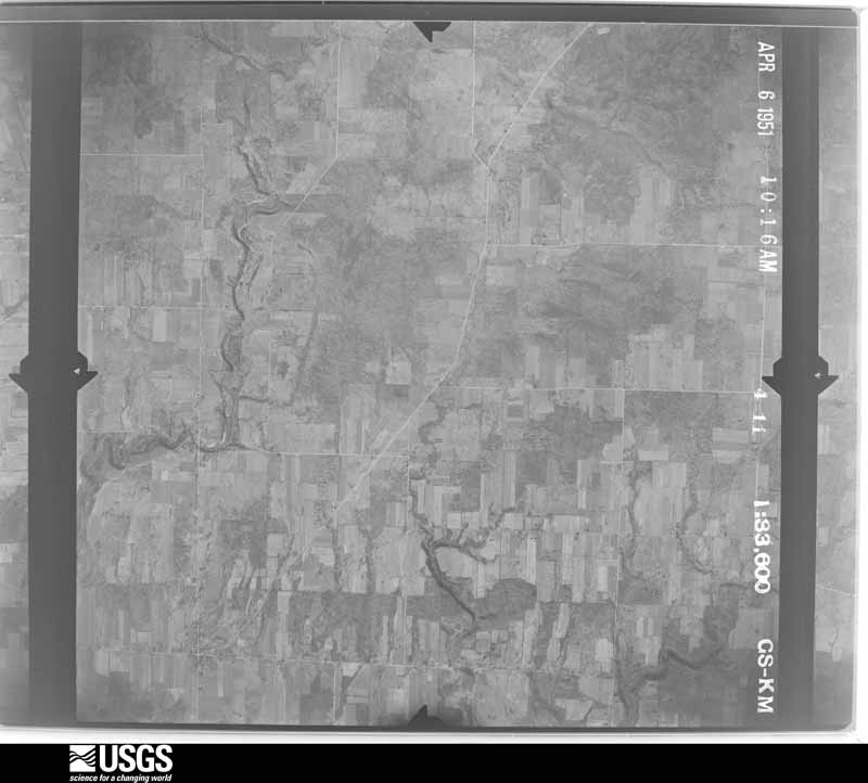
U.S. Geological Survey aerial photograph, 1951-04-06, scale 1:33600
1951-04-06, scale 1:33600. U.S. Geological Survey aerial photograph.
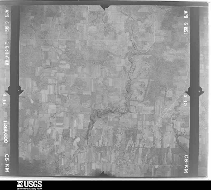
U.S. Geological Survey aerial photograph, 1951-04-06, scale 1:33600
1951-04-06, scale 1:33600. U.S. Geological Survey aerial photograph.
U.S. Geological Survey aerial photograph, 1951-04-06, scale 1:33600
1951-04-06, scale 1:33600. U.S. Geological Survey aerial photograph.
U.S. Geological Survey aerial photograph, 1951-04-06, scale 1:33600
1951-04-06, scale 1:33600. U.S. Geological Survey aerial photograph.
U.S. Geological Survey aerial photograph, 1952-04-01, scale 1:24000
1952-04-01, scale 1:24000. U.S. Geological Survey aerial photograph.
U.S. Geological Survey aerial photograph, 1952-04-01, scale 1:24000
1952-04-01, scale 1:24000. U.S. Geological Survey aerial photograph.
U.S. Geological Survey aerial photograph, 1952-04-01, scale 1:24000
1952-04-01, scale 1:24000. U.S. Geological Survey aerial photograph.
U.S. Geological Survey aerial photograph, 1952-04-01, scale 1:24000
1952-04-01, scale 1:24000. U.S. Geological Survey aerial photograph.
U.S. Geological Survey aerial photograph, 1955-04-28, scale 1:25000
1955-04-28, scale 1:25000. U.S. Geological Survey aerial photograph.
U.S. Geological Survey aerial photograph, 1955-04-28, scale 1:25000
1955-04-28, scale 1:25000. U.S. Geological Survey aerial photograph.
U.S. Geological Survey aerial photograph, 1955-04-28, scale 1:25000
1955-04-28, scale 1:25000. U.S. Geological Survey aerial photograph.
U.S. Geological Survey aerial photograph, 1955-04-28, scale 1:25000
1955-04-28, scale 1:25000. U.S. Geological Survey aerial photograph.
U.S. Geological Survey aerial photograph, 1956-10-19, scale 1:60000
1956-10-19, scale 1:60000. U.S. Geological Survey aerial photograph.
U.S. Geological Survey aerial photograph, 1956-10-29, scale 1:60000
1956-10-29, scale 1:60000. U.S. Geological Survey aerial photograph.
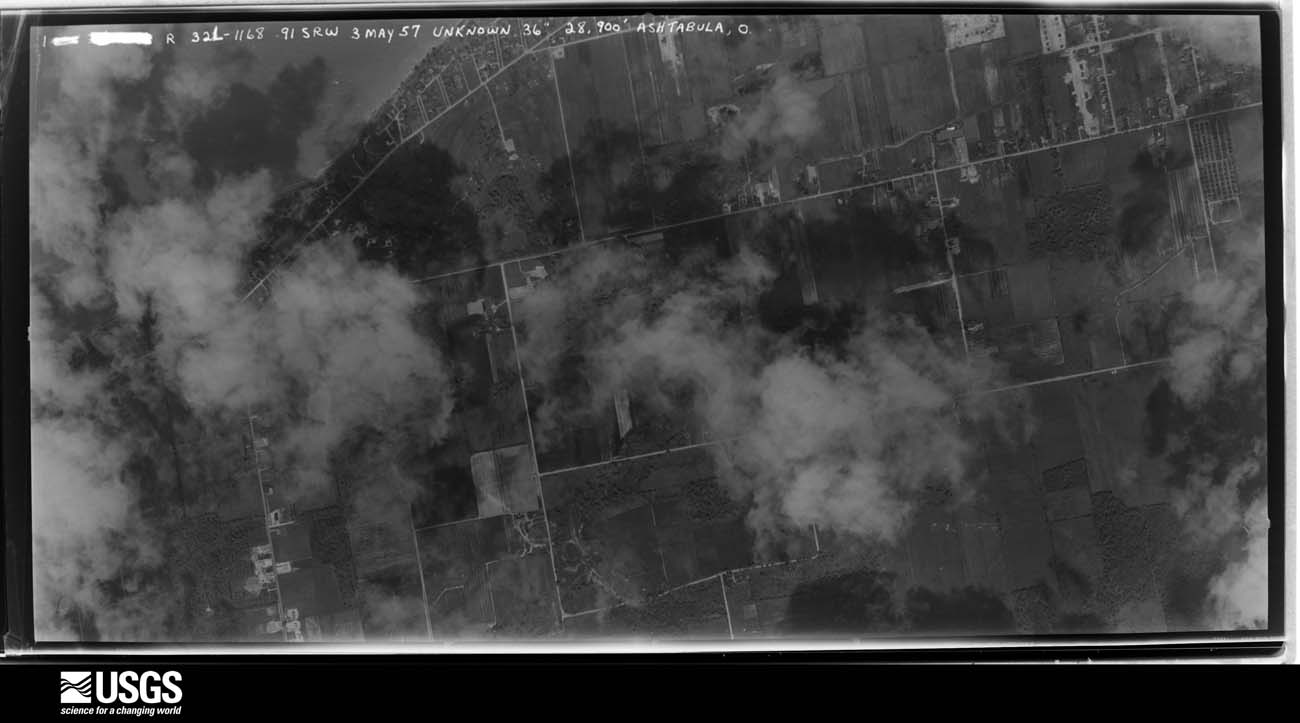
U.S. Geological Survey aerial photograph, 1957-05-03, scale 1:24675
1957-05-03, scale 1:24675. U.S. Geological Survey aerial photograph.
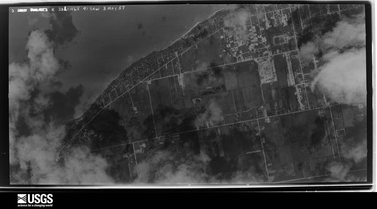
U.S. Geological Survey aerial photograph, 1957-05-03, scale 1:24675
1957-05-03, scale 1:24675. U.S. Geological Survey aerial photograph.
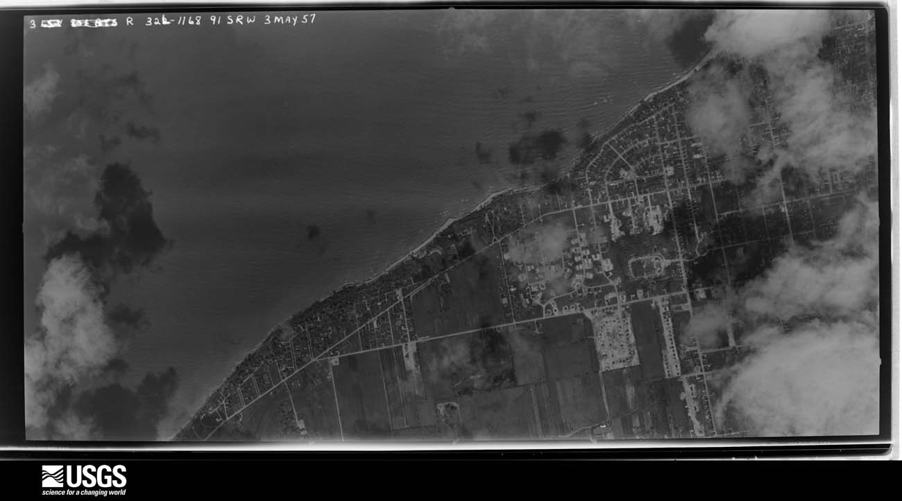
U.S. Geological Survey aerial photograph, 1957-05-03, scale 1:24675
1957-05-03, scale 1:24675. U.S. Geological Survey aerial photograph.
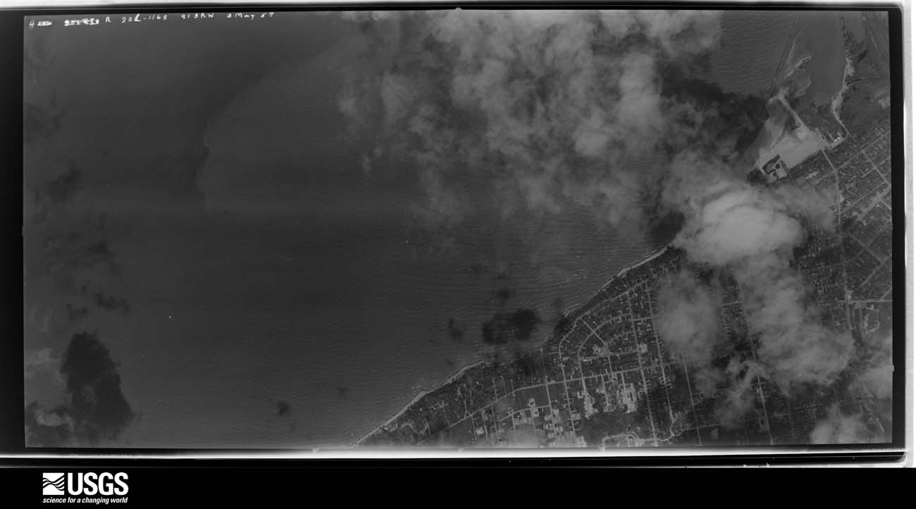
U.S. Geological Survey aerial photograph, 1957-05-03, scale 1:24675
1957-05-03, scale 1:24675. U.S. Geological Survey aerial photograph.
U.S. Geological Survey aerial photograph, 1960-05-15, scale 1:60000
1960-05-15, scale 1:60000. U.S. Geological Survey aerial photograph.
U.S. Geological Survey aerial photograph, 1960-05-15, scale 1:60000
1960-05-15, scale 1:60000. U.S. Geological Survey aerial photograph.
U.S. Geological Survey aerial photograph, 1960-05-15, scale 1:60000
1960-05-15, scale 1:60000. U.S. Geological Survey aerial photograph.
U.S. Geological Survey aerial photograph, 1960-06-01, scale 1:60000
1960-06-01, scale 1:60000. U.S. Geological Survey aerial photograph.
U.S. Geological Survey aerial photograph, 1961-03-01, scale 1:19000
1961-03-01, scale 1:19000. U.S. Geological Survey aerial photograph.
U.S. Geological Survey aerial photograph, 1961-03-01, scale 1:19000
1961-03-01, scale 1:19000. U.S. Geological Survey aerial photograph.
U.S. Geological Survey aerial photograph, 1961-03-01, scale 1:19000
1961-03-01, scale 1:19000. U.S. Geological Survey aerial photograph.
U.S. Geological Survey aerial photograph, 1961-03-01, scale 1:19000
1961-03-01, scale 1:19000. U.S. Geological Survey aerial photograph.
U.S. Geological Survey aerial photograph, 1969-03-23, scale 1:24000
1969-03-23, scale 1:24000. U.S. Geological Survey aerial photograph.
U.S. Geological Survey aerial photograph, 1969-03-23, scale 1:24000
1969-03-23, scale 1:24000. U.S. Geological Survey aerial photograph.
U.S. Geological Survey aerial photograph, 1969-03-23, scale 1:24000
1969-03-23, scale 1:24000. U.S. Geological Survey aerial photograph.
U.S. Geological Survey aerial photograph, 1969-03-23, scale 1:24000
1969-03-23, scale 1:24000. U.S. Geological Survey aerial photograph.
U.S. Geological Survey aerial photograph, 1970-04-26, scale 1:24000
1970-04-26, scale 1:24000. U.S. Geological Survey aerial photograph.
U.S. Geological Survey aerial photograph, 1970-04-26, scale 1:24000
1970-04-26, scale 1:24000. U.S. Geological Survey aerial photograph.
U.S. Geological Survey aerial photograph, 1970-04-26, scale 1:24000
1970-04-26, scale 1:24000. U.S. Geological Survey aerial photograph.
U.S. Geological Survey aerial photograph, 1970-04-26, scale 1:24000
1970-04-26, scale 1:24000. U.S. Geological Survey aerial photograph.
U.S. Geological Survey aerial photograph, 1972-04-05, scale 1:40000
1972-04-05, scale 1:40000. U.S. Geological Survey aerial photograph.
U.S. Geological Survey aerial photograph, 1972-04-05, scale 1:40000
1972-04-05, scale 1:40000. U.S. Geological Survey aerial photograph.
U.S. Geological Survey aerial photograph, 1972-04-05, scale 1:40000
1972-04-05, scale 1:40000. U.S. Geological Survey aerial photograph.
U.S. Geological Survey aerial photograph, 1972-04-05, scale 1:40000
1972-04-05, scale 1:40000. U.S. Geological Survey aerial photograph.
U.S. Geological Survey aerial photograph, 1975-05-10, scale 1:78000
1975-05-10, scale 1:78000. U.S. Geological Survey aerial photograph.
U.S. Geological Survey aerial photograph, 1975-05-10, scale 1:78000
1975-05-10, scale 1:78000. U.S. Geological Survey aerial photograph.
U.S. Geological Survey aerial photograph, 1977-03-29, scale 1:80000
1977-03-29, scale 1:80000. U.S. Geological Survey aerial photograph.
U.S. Geological Survey aerial photograph, 1977-03-29, scale 1:80000
1977-03-29, scale 1:80000. U.S. Geological Survey aerial photograph.
U.S. Geological Survey aerial photograph, 1977-03-29, scale 1:80000
1977-03-29, scale 1:80000. U.S. Geological Survey aerial photograph.
U.S. Geological Survey aerial photograph, 1977-03-29, scale 1:80000
1977-03-29, scale 1:80000. U.S. Geological Survey aerial photograph.
U.S. Geological Survey aerial photograph, 1994-06-08, scale 1:25000
1994-06-08, scale 1:25000. U.S. Geological Survey aerial photograph.
U.S. Geological Survey aerial photograph, 1994-06-08, scale 1:25000
1994-06-08, scale 1:25000. U.S. Geological Survey aerial photograph.
U.S. Geological Survey aerial photograph, 1994-06-08, scale 1:26000
1994-06-08, scale 1:26000. U.S. Geological Survey aerial photograph.
U.S. Geological Survey aerial photograph, 1994-06-08, scale 1:26000
1994-06-08, scale 1:26000. U.S. Geological Survey aerial photograph.

City directories

1 volume

The "who lived here, by year" answer: pre-1929 public-domain directory volumes naming the county's people, machine-read and searchable as text.

Weather records

21 stations, 10 gages

The thermometers that kept this county's weather, and the gages that watched its rivers, as the federal records hold them. The extremes below are measured values from those records, not estimates.

The 1950 census, district by district

106 districts

Who lived here in 1950, one enumeration district at a time, as the Census Bureau described each district. Each row opens its official National Archives result, with Population Schedules and ED Maps available there.

  • 4-1Andover township: Andover village
  • 4-2Andover township - That part outside Andover village
  • 4-3Ashtabula city, comprising parts of Ashtabula and Saybrook townships: Ashtabula city - That part of Ward 1 in Ashtabula township Bounded by Morton Dr., W. 9th, Joseph Ave., 6th, Ward line; Ashtabula River; W. 24th; Lake Ave.
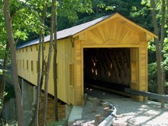
  • 4-4Ashtabula city - That part of Ward 1 in Ashtabula township Bounded by Walnut Blvd.; Franklin Ave., W. 5th, Joseph Ave.; W. 9th, Morton Dr.; Lake Ave.
  • 4-5Ashtabula city - That part of Ward 1 in Ashtabula township Bounded by City limits; Franklin Ave., Walnut Blvd., Lake Ave.; W. 6th; Ohio Ave., Township line
  • 4-6Ashtabula city - That part of Ward 1 in Ashtabula township Bounded by W. 6th; Lake Ave.; W. 10th; Ohio Ave.
  • 4-7Ashtabula city - That part of Ward 1 in Ashtabula township Bounded by W. 10th; Lake Ave.; W. 19th; Ohio Ave.
  • 4-8Ashtabula city - That part of Ward 1 in Ashtabula township Bounded by W. 19th, Lake Ave., W. 24th; Ashtabula River; New York Central Railroad; City limits
  • 4-9Ashtabula city - That part of Ward 2 in Ashtabula township, excluding Ashtabula Coast Guard Station Bounded by City limits; City limits; Harmon Rd., E. 5th, Woodland Ave., E. 6th, E. 5th, Ashtabula River, Ward line, N. 6th; Joseph Ave., W. 5th, Franklin Ave.
  • 4-10Ashtabula Coast Guard Station (In Ashtabula city, Ward 2, Ashtabula township)
  • 4-11Ashtabula city - That part of Ward 2 in Ashtabula township Bounded by E. 5th, E. 6th; Columbus Ave.; E. 16th, Hawthorne Ave., E. 15th, Marine Ave., Pearl Rd.; Ashtabula River
  • 4-12Ashtabula city - That part of Ward 2 in Ashtabula township Bounded by E. 6th, Woodland Ave., E. 5th, Hamon Rd.; City limits; E. 16th; Columbus Ave.
  • 4-13Ashtabula city - That part of Ward 2 in Ashtabula township Bounded by Pearl Rd., Marine Ave., E. 15th, Hawthorne Ave., E. 16th; City limits; City limits; Ashtabula River
  • 4-14Ashtabula city - That part of Ward 3 in Ashtabula township Bounded by New York Central Railroad; Ashtabula River; Prospect Rd.; Station Ave., W. 41st, Lake Ave.
  • 4-15Ashtabula city - That part of Ward 3 in Ashtabula township Bounded by New York Central Railroad; Lake Ave.; W. 38th; Station Ave., Station Ave. extended
  • 4-16Ashtabula city - That part of Ward 3 in Ashtabula township Bounded by New York Central Railroad; Station Ave. extended, Station Ave.; W. 39th, W. 39th extended; New York Central Railroad
  • 4-17Ashtabula city - That part of Ward 3 in Ashtabula township Bounded by New York Central Railroad; New York Central Railroad; W. 38th extended, W. 38th; West Ave.
  • 4-18Ashtabula city - That part of Ward 3 in Ashtabula township Bounded by New York Central Railroad; West Ave., W. 45th, Strong Ave.; Prospect Rd.; City limits
  • 4-19Ashtabula city - That part of Ward 3 in Ashtabula township Bounded by W. 38th, W. 38th extended; New York Central Railroad; Prospect Rd.; Strong Ave., W. 45th, West Ave.
  • 4-20Ashtabula city - That part of Ward 3 in Ashtabula township Bounded by W. 39th extended, W. 39th, Station Ave., W. 38th; Lake Ave.; W. 41st, Station Ave., Prospect Rd.; New York Central Railroad
  • 4-21Ashtabula city - That part of Ward 3 in Ashtabula township Bounded by Prospect Rd.; City limits, Ashtabula River; W. 46th, Main Ave., W. 44th
  • 4-22Ashtabula city - That part of Ward 4 in Ashtabula township Bounded by City limits; City limits; E. 44th; State Ave., E. 45th, Valleyview Blvd., E. 46th; Ashtabula River
  • 4-23Ashtabula city - That part of Ward 4 in Ashtabula township Bounded by E. 46th, Valleyview Blvd., E. 45th, State Ave., E. 44th; City limits; City limits, New York Central & St. Louis Railroad; Ashtabula River
  • 4-24Ashtabula city - That part of Ward 4 in Ashtabula township, excluding Ashtabula Hotel Bounded by Prospect Rd., W. 44th; Main Ave., W. 46th, Ashtabula River; New York Central & St. Louis Railroad; New York Central Railroad
  • 4-25Ashtabula Hotel (In Ashtabula city, Ward 4, Ashtabula township)
  • 4-26Ashtabula city - That part of Ward 4 in Ashtabula township Bounded by New York Central & St. Louis Railroad; Ashtabula River; City limits; New York Central Railroad
  • 4-27Ashtabula city - That part of Ward 4 in Ashtabula township Bounded by New York Central & St. Louis Railroad; City limits; City limits, Ashtabula River
  • 4-28Ashtabula city - That part of Ward 5 in Ashtabula township Bounded by Prospect Rd.; Pennsylvania Railroad; Nathan Ave.
  • 4-29Ashtabula city - That part of Ward 5 in Ashtabula township Bounded by Prospect Rd.; Nathan Ave.; City limits; City limits, Township line
  • 4-30Ashtabula city - That part of Ward 5 in Ashtabula township Bounded by Pennsylvania Railroad; Jefferson Ave.; W. 58th
  • 4-31Ashtabula city - That part of Ward 5 in Ashtabula township Bounded by Pennsylvania Railroad; New York Central Railroad, City limits; W. 58th; Jefferson Ave.
  • 4-32Ashtabula city - That part of Ward 5 in Ashtabula township Bounded by W. 58th; City limits; City limits; City limits
  • 4-33Ashtabula city - That part of Ward 1 in Saybrook township Bounded by City limits; Township line, Ohio Ave.; W. 10th, Allen Ave., W. 13th; City limits
  • 4-34Ashtabula city - That part of Ward 1 in Saybrook township Bounded by W. 13th, Allen Ave., W. 10th; Ohio Ave.; City limits; City limits
  • 4-35Ashtabula city - That part of Ward 5 in Saybrook township Bounded by City limits; Township line; City limits; City limits
  • 4-36BEast Ashtabula, unincorporated - That part Bounded by U.S. Hwy. 20; Vineland Rd.; New York Central and St. Louis Railroad; Ashtabula city limits
  • 4-36AEast Ashtabula, unincorporated - That part Bounded by New York Central Railroad; Eureka Rd. extended, Eureka Rd.; U.S. Hwy. 20; Ashtabula city limits, and including that area east of Vineland Rd.
  • 4-37Ashtabula township - That part north of U.S. Hwy. 20, outside Ashtabula city and the unincorporated place of East Ashtabula (See separate map for boundaries of East Ashtabula)
  • 4-38Ashtabula township - That part south of U.S. Hwy. 20, outside the unincorporated place of East Ashtabula (See separate map for boundaries of East Ashtabula) (Remainder of Ashtabula township is in Ashtabula city)
  • 4-39Austinburg township
  • 4-40Cherry Valley township
  • 4-41Colebrook township
  • 4-42Conneaut township, coextensive with Conneaut city: Conneaut city - That part of Ward 1 Bounded by New York Central Railroad; City limits; New York Central and St. Louis Railroad; Harbor, Jackson, Broad
  • 4-43Conneaut city - That part of Ward 1 Bounded by New York Central Railroad; Broad, Jackson, Harbor; New York Central and St. Louis Railroad; Mill
  • 4-44Conneaut city - That part of Ward 1 Bounded by New York Central and St. Louis Railroad; Broad; Main; Mill
  • 4-45AConneaut city - That part of Ward 1, excluding Cleveland Hotel Bounded by New York Central and St. Louis Railroad; City limits; Main; Broad
  • 4-45BCleveland Hotel (In Conneaut city, Ward 1)
  • 4-46Conneaut city - That part of Ward 1 Bounded by Main; City limits; City limits; Mill
  • 4-47Conneaut city - That part of Ward 2 Bounded by City limits, New York Central Railroad; Mill; State, Rockwell, Madison, Reig Ave., Maple Ave.; City limits
  • 4-48BConneaut city - That part of Ward 2 Bounded by Madison; Rockwell; Main (U.S. Hwy. 20); Reig Ave.
  • 4-48AConneaut city - That part of Ward 2 Bounded by Maple Ave.; Reig Ave.; Main (U.S. Hwy. 20), City limits; City limits
  • 4-49Conneaut city - That part of Ward 2 Bounded by Main, State; Mill; City limits; City limits
  • 4-50Conneaut city - That part of Ward 3 Bounded by City limits; Broad; Russell Ave., Mill, Grove, Residence; Chestnut, Detroit Ave., Wrights Ave.
  • 4-51Conneaut city - That part of Ward 3 Bounded by City limits; Wrights Ave., Detroit Ave., Chestnut; New York Central Railroad; City limits
  • 4-52Conneaut city - That part of Ward 3 Bounded by Residence, Grove, Mill, Russell Ave.; Broad; New York Central Railroad; Chestnut
  • 4-53Conneaut city - That part of Ward 4, excluding U.S. Coast Guard Conneaut Lighthouse Bounded by City limits; City limits, Bessemer and Lake Erie Railroad; Valley extended, Valley, Harbor, Russell Ave.; Broad
  • 4-54U.S. Coast Guard Conneaut Lighthouse (In Conneaut city, Ward 4)
  • 4-55Conneaut city - That part of Ward 4 Bounded by Russell Ave., Harbor, Valley, Valley extended, Bessemer and Lake Erie Railroad; City limits; New York Central Railroad; Broad
  • 4-56Denmark township
  • 4-57Dorset township
  • 4-58Geneva township: Geneva village: Geneva village - That part Bounded by Village limits; Village limits; E. Main, Woodlawn; N. Broadway
  • 4-59Geneva village - That part Bounded by Village limits; N. Broadway; W. Main; Village limits
  • 4-60Geneva village - That part Bounded by Woodlawn, E. Main; Village limits; Village limits, Centennial, Eastwood; S. Broadway, N. Broadway
  • 4-61Geneva village - That part Bounded by W. Main, N. Broadway, Eastwood; Centennial; New York Central and St. Louis Railroad; Eagle
  • 4-62Geneva village - That part Bounded by W. Main; Eagle; New York Central and St. Louis Railroad, Village limits; Village limits
  • 4-63Geneva village - That part Bounded by New York Central and St. Louis Railroad; Village limits; Village limits; Village limits
  • 4-64AN/A
  • 4-64BN/A
  • 4-65Geneva township - That part east of State Hwy. 534, outside Geneva and Geneva - on - the - Lake villages
  • 4-66Geneva township - That part west of State Hwy. 534, outside Geneva and Geneva - on - the - Lake villages
  • 4-67Harpersfield township
  • 4-68Hartsgrove township
  • 4-69Jefferson township: Jefferson village: Jefferson village - That part east of Market
  • 4-70Jefferson village - That part west of Market
  • 4-71Jefferson township - That part outside Jefferson village
  • 4-72Kingsville township: North Kingsville village
  • 4-73Kingsville township - That part outside Kingsville village, excluding Ashtabula County Infirmary
  • 4-74Ashtabula County Infirmary (In Kingsville townships)
  • 4-75Lakeville township, coextensive with Lakeville village: Lakeville village - That part Bounded by Village limits; Village limits; U.S. Hwy. 20; Village limits
  • 4-76Lakeville village - That part Bounded by Village limits; Village limits; Conneaut Creek; Village limits
  • 4-77Lakeville village - That part Bounded by Conneaut Creek; State Hwy. 7; Village limits; Village limits
  • 4-78Lakeville village - That part Bounded by State Hwy. 7, Village limits, U.S. Hwy. 20; Village limits; Underridge Rd.; State Hwy. 7
  • 4-79Lakeville village - That part Bounded by Underridge Rd.; Village limits; Village limits; State Hwy. 7
  • 4-80Lenox township
  • 4-81Monroe township
  • 4-82Morgan township: Rock Creek village
  • 4-83Morgan township - That part outside Rock Creek village
  • 4-84New Lyme township
  • 4-85Orwell township: Orwell village
  • 4-86Orwell township - That part outside Orwell village
  • 4-87Pierpont township
  • 4-88Plymouth township: Plymouth township - That part east of New York Central Railroad
  • 4-89Plymouth township - That part west of New York Central Railroad
  • 4-90Richmond township
  • 4-91Rome township
  • 4-92Saybrook township, outside Ashtabula city: Northridge, unincorporated Bounded by New York Central Railroad; Ashtabula city limits, Township line; New York Central and St. Louis Railroad; Unnamed road extended, Unnamed road
  • 4-93Lake Road West, unincorporated (See boundaries shown on aerial photo QE - 7 - 667)
  • 4-94Saybrook, unincorporated: Saybrook, unincorporated - That part Bounded by 1/4 mile offset line parallel to U.S. Hwy. 20; State Hwy. 45; New York Central and St. Louis Railroad; Unnamed road
  • 4-95Saybrook, unincorporated - That part Bounded by 1/4 mile offset line parallel to U.S. Hwy. 20; Unnamed road; New York Central and St. Louis Railroad; Unnamed road, U.S. Hwy. 20, Unnamed road
  • 4-96AN/A
  • 4-96BN/A
  • 4-97Sheffield township
  • 4-98Trumbull township
  • 4-99Wayne township
  • 4-100Williamsfield township
  • 4-101Windsor township

Businesses named in the atlases

60 businesses

Every Sanborn volume opens with a printed index naming the town's mills, tanneries, hotels and works by proprietor. Those indexes were read off the scanned sheets by machine and then matched to each other, so a business surveyed four times appears here once, with the years it survived. 11 of these 60 were named in more than one atlas. Each carries a crop of the line it was read from: the spelling is the recogniser's and the 1880s lithographer's, and the scan behind it is the proof.

Wildfire, 2020 to 2020

7 fires

Every wildfire the federal occurrence database records inside this county: 7 of them, burning about 4 acres. 0 started naturally and 0 were recorded as arson. Each settlement page carries the fires within five miles of it.

Reported cause Fires
Debris and open burning4
Recreation and ceremony1
Missing data/not specified/undetermined1
Equipment and vehicle use1

The five largest, by the area the report gives. None of them was recorded as arson.

DateCause SizeReported by Name on the report
4 July 2020Debris and open burning2.0 acresOhio Department of Natural Resources15767
7 November 2020Debris and open burning1.0 acresOhio Department of Natural Resources15895
21 November 2020Debris and open burningunder an acreOhio Department of Natural Resources15999
25 April 2020Debris and open burningunder an acreOhio Department of Natural Resources15702
26 September 2020Recreation and ceremonyunder an acreOhio Department of Natural Resources15835
15 April 2020Missing data/not specified/undeterminedunder an acreOhio Department of Natural Resources15697
6 April 2020Equipment and vehicle useunder an acreOhio Department of Natural Resources15696

Every settlement page carries the fires within five miles of it - see the settlement index below.

Storms, 1956 to 2026

60 of 500 shown

The NOAA Storm Events Database holds 500 reports for this county, causing 2 deaths, 35 injuries and about $55,434,000 in recorded property damage. Each settlement page carries the reports that name it.

Kind of event Reports
Thunderstorm Wind315
Hail107
Flash Flood41
Tornado16
Lightning8
Waterspout5
Funnel Cloud4
Flood3
Heavy Rain1

The most serious of them, by death, then injury, then recorded damage. The accounts are quoted exactly as the forecast office filed them.

WhenEvent Place namedHarm What the report says
April 1996Thunderstorm WindCountywide2 killed, $100,000no account filed
May 1985Tornado (F2)not stated15 hurt, $2,500,000no account filed
May 1985Tornado (F3)not stated10 hurt, $2,500,000no account filed
June 1985Tornado (F2)not stated2 hurt, $250,000no account filed
July 1967Tornado (F2)not stated2 hurt, $250,000no account filed
July 1999Thunderstorm WindCountywide2 hurt, $60,000Trees and power poles downed across the county with a 60 mph gust measured in Orwell. The library in Orwell lost some its siding and the Orwell Fire Department was damaged when fallen trees poked three 15 inch holes into its roof. Many trees were also downed in and around Jefferson. A large tent was blown down and thrown 200 feet at an outdoor party north of Jefferson. Two women of unknown age standing under the tent were injured slightly.
July 1999LightningLakeshore2 hurtA 26 year old male and a female of unknown age were struck by lightning while picnicking at Lakeshore Park in Ashtabula Township. Both people received minor injuries and were taken to a local hospital where they were treated and released.
July 2005LightningGeneva1 hurtA man was struck by lightning while trying to rescue his dog which was also struck by lightning seconds earlier. Unfortunately, the dog did not survive the lightning strike. The man sustained non life threatening injuries and was expected to make a full recovery.
July 1999LightningLakeshore1 hurtA male of unknown age was stuck by lightning at Great Lakes Marina. The person received minor injuries and was taken to a local hospital for treatment.
July 2006Flash FloodCountywide$12,800,000A second round of thunderstorms moved across Ashtabula County during the early morning hours of July 28th. Rainfall rates exceeded two inches per hour at times. Some rainfall totals from late afternoon on July 27th through the early morning hours of the 28th included: 5.88 inches in Trumbull Township; 4.30 inches in Geneva; 3.45 inches at New Lyme and 3.33 inches at Jefferson. Widespread flooding occurred across the county as runoff from this rain made it into area streams and rivers. Coffee Creek went into flood in Austinburg and caused extensive damage. At least five homes in the town were destroyed and another 20 sustained severe damage. Three homes in Jefferson had water on their ground floors after a small creek left it's banks. Flood waters on Hillyer Drive were reported to be over three feet deep. At least nine homes in the Geneva area sustained major damage after Cowles Creek left it's banks. Several families in the area had to be evacuated. Many roads including State Routes 45, 307 and 46 and U.S. Route 20 had to be closed because of flooding. In Harpersfield Township, Cold Springs Road was washed out by Bronson Creek. At least four roads were washed out elsewhere in the county and there were multiple road closures reported in Trumbull, Geneva, Saybrook, Morgan, Austinburg and Monroe Townships. Around 40 homes in the county suffered major damage from flooding with dozens more sustaining lesser damages. Most of these were in Jefferon, Austinburg and Geneva Townships. Damage to roads, bridges, culverts and other public infrastructure from the flash flooding events of July 22nd and 28th totaled nearly $2 million. Crop losses are also expected to be substantial as standing water was reported in many areas.
February 2020FloodSullivan$10,000,000Record Lake Erie water levels for February resulted in continued and exasperated lakeshore flooding and erosion. There were two storm events that brought lakeshore flooding to the western basin on the 5th and 6th, and the other on the 27th. In addition to these wind driven events, weakened shorelines showed signs of collapse and erosion throughout the month. Erosion was made worse by the lack of ice over the winter. Lake Erie reported only .4 percent of ice coverage compared to the average of 67 percent in mid February. The lack of ice supported increased wave runup, eroding away cliffs, washing out beaches and damaging shoreline infrastructure.||Of note, in Geneva on the Lake the Geneva Township Park lost 45 feet of land between the 3rd and 13th of the month. About 600 feet of the parks 916 feet of lakefront was affected. Similar if less severe erosion occurred across all of Lake Erie lakeshore counties.
July 2006Flash FloodNorth Portion$7,500,000Thunderstorms dumped heavy rains on the northern portion of Ashtabula County during the morning hours of July 22nd. Flooding quickly developed as runoff from the rain caused rapid rises in area streams and rivers. Locations along and north of Interstate 90 saw the worst flooding. Spotters in the City of Ashtabula measured 7.2 inches and 6.04 inches of rain. Much of this rainfall fell between 8 and 11 a.m. Other reports from across the county included: 3.7 inches at North Kingsville and 3.5 inches in Saybrook Township between 6 and 11 a.m. In Ashtabula, extensive flooding occurred on Clermont Drive, Howard Road and Jefferson Road. Flood waters were up to three feet deep on these streets and water was reported on the ground floors of several homes. Many homes had to evacuated because of the rising water and dozens of other homes in the city experienced basement flooding. In Saybrook Township, extensive flooding was reported along U.S. 20 from Sanborn Road to State Route 45. Businesses along this stretch of road reported ground floor flooding. A lot of flooding also occurred on McNutt Avenue. Many people were evacuated from homes in this area. Several roads were washed out in Saybrook and Ashtabula Townships. At least one person had to rescued from a stranded vehicle. Over a 100 homes in the county were damaged, mainly by basement flooding. Several roads and bridges were also damaged by flooding.
March 2020FloodConneaut Harbor$5,000,000Lake Erie continued its seasonal rise from February to March, rising about 2 inches to a level of 573.98 feet. This level was a new record high monthly mean water level for March, surpassing its previous record set in 1986 by 3 inches. The March 2020 level was also 12 inches above the March 2019 level and 34 inches above its long term average level. Lack of lake ice supported higher and more repetitive wave action along the shoreline, resulting in continued beach and cliff erosion.
November 2017Tornado (EF2)Wick$1,500,000An EF0 tornado touched downed in a field in rural Wayne Township near the southern border of Ashtabula County. The initial touchdown occurred along Hayes Road about half way between U.S. Route 322 and the county line. A few trees were downed in the area. The tornado continued east northeast across mainly farm land while quickly intensifying to EF1 intensity. The tornado eventually reached the Williamsfield area and crossed State Route 7 just south of its intersection with U.S. Route 322. It then intensified to EF2 strength and roughly followed U.S. 322 for close to two miles. The tornado then took a turn to the northeast as it crossed Simons South Road and lifted just as it reached the Pennsylvania state line. The worst damage was observed along U.S. 322 east of State Route 7. Around 20 properties were affected by the tornado. At least four homes were destroyed with eight more sustaining major damage. The other homes along the damage path sustained lesser amounts of damage. The four destroyed homes were all within a third of mile from each other on U.S. 322. A couple garages along U.S. 322 were also leveled and tree damage was extensive. Debris was observed scattered in fields across the area. The damage path was over six and a half miles in length and up to 200 yards in width. It took several days for power to be restored in the Williamsfield area. No injuries were reported.
October 2000Thunderstorm WindCountywide$1,000,000Thunderstorm winds estimated at 60 to 70 mph caused considerable damage across the county. Several hundred trees and 55 power poles were downed. Widespread damage was reported in Ashtabula, Pierpont, Andover, Jefferson and Geneva on the Lake. Major damage occurred at a campground just north of Andover where five homes were severely damaged by fallen trees. Over 50 trees were downed at the campground.
September 2004Flash FloodCountywide$800,000Heavy rains associated with the remnants of Tropical Storm Frances caused flooding over portions of Ashtabula County. Rain began early on September 8th and increased in intensity during the evening hours. The heavy rain continued into the 9th and finally ended just before daybreak. Rainfall totals from the event included: 2.08 inches at Ashtabula; 2.42 inches at Geneva; 2.88 inches at Jefferson; 3.00 inches at New Lyme; 3.68 inches at Conneaut and 4.66 inches at Pierpont. Significant flooding occurred along Conneaut Creek in the northeastern corner of the county. Very heavy rain fell over the headwaters of the creek in Pennsylvania and caused a rapid rise in creek levels beginning around midnight. By 12:24 a.m., a campground along Creek Road in Kingsville Township was under as much as five feet of water. 17 campers at the campground barely escaped the rapidly rising waters and had to be rescued by boat. Several roads near the creek were washed out by the flood waters. Many other roads, including State Route 7 had to be closed because of flooding. Over a dozen vehicles were damaged at an automobile dealership by flood waters up to four feet deep. Hundreds of homes and businesses were damaged by flooding. Several of these sustained significant damage.
May 2004Flash FloodCountywide$750,000A line of severe thunderstorms moved across Ashtabula County during the late afternoon hours and was quickly followed by a second round of storms. Torrential rain fell as this series of storms moved through. Spotters measured as much as four inches of rain in the southeastern corner of the county. Widespread flooding occurred across southern and central Ashtabula County as several streams and creeks quickly filled and left their banks. Three Brothers Creek went into flood south of Jefferson and washed out a section of State Route 46 between Webster and Holcomb roads just after 7 p.m. Spotters in the area measured 2.25 inches of rain during the storms. Numerous road closures were reported elsewhere in the county with dozens of homes and vehicles damaged by the flood waters. Flood waters were reported to be as much as three feet deep on a couple roads.
June 2010Tornado (EF1)West Andover$500,000An EF1 tornado touched down in eastern Ashtabula County. The initial touchdown occurred southwest of Andover near the intersection of Mann and Creek Roads. The tornado then traveled east northeast for approximately four and a half miles before lifting near the intersection of Pymatuning Lake Road and State Route 85. The tornado moved across the south side of Andover and then crossed Main Street just east of town. Significant tree damage was observed southwest of Andover. A barn in the area was heavily damaged. A warehouse on the southeast side of Andover was damaged and many trees in the area toppled. Several homes in the town sustained damage, mainly from lost roofing or siding. Many cars were also damaged from flying debris or downed limbs. Dozens of downed trees were also reported along the remainder of the damage path. Several boats were tossed into Pymatuning Reservoir just as the tornado lifted. The tornado may not have been in continuous contact with the ground the entire length of the damage path. The damage path was no more than 100 yards in width.
July 2008Flash FloodConneaut$500,000A band of showers and thunderstorms enhanced by the warm waters of Lake Erie moved into Conneaut on the morning of the 22nd, producing significant flash flooding along the lakeshore. Doppler radar estimated between 3.5 and 5 inches of rain fell throughout the city of Conneaut in less than 1.5 hours. Major street flooding occurred, with semi trucks stranded and numerous underpasses flooded. Many structures were inundated, including a restaurant on Broad Street.
July 2003Flash FloodSouth Portion$500,000Heavy thunderstorm rains fell on Ashtabula County. Spotters in Colebrook Township measured 4.50 inches of rain during the day with over 3.5 inches measured in Orwell Township. Widespread lowland and street flooding was reported in southern Ashtabula County as several small streams and creeks left their banks. A few homes and buildings were damaged by flood waters up to two feet deep. Several roads had to be closed.
August 1994Thunderstorm WindS Portion$500,000no account filed
July 2006Flash FloodCountywide$400,000Heavy thunderstorm rains fell on Ashtabula County during the late afternoon and early evening hours of July 27th. Two to four inches of rain was reported throughout the county with much of it falling between 5 and 6 p.m. Cowles Creek went into flood in the northwest part of the county and flooded State Route 534 with one to two feet of water. A 13 year boy was swept into the creek and had to be rescued around 7:30 p.m. A culvert along State Route 534 in Trumbull Township was also washed out. Several other roads in the county had to be closed because of flooding. Over two dozens homes sustained damage, mainly from basement flooding.
February 2011FloodConneaut$300,000Heavy rain and rapid snow melt led to a rapid rise in rivers and streams across Ashtabula County. Rainfall amounts of 2 to 2.25 fell on top of six to ten inches of heavy snow. This snow rapidly melted as temperatures warmed into the 50s on the 28th. Up to an additional inch of water equivalent rainfall was released from the melted snow. Small streams and creeks came out of banks flooding farmland, roads, and a few homes.
May 2010Thunderstorm WindJefferson$300,000Thunderstorm downburst winds produced a swath of damage across northern Ashtabula County. Damage stretched from the Jefferson area northeastward across Sheffield Township and into the Conneaut area. Significant tree damage was reported in Jefferson. A residence in Sheffield Township along Peebles Road had nearly 70 trees toppled. Dozens of trees were also downed in the Conneaut area with at least five homes in the town heavily damaged by fallen trees. Scattered downed trees were reported across the remainder of the area. Many power outages were reported.
June 2010Tornado (EF1)Amboy$300,000An EF1 tornado touched down near the intersection of Lake Erie Avenue and Point Drive on the west end of Conneaut. The tornado then traveled east approximately two and a quarter miles before lifting near the Intersection of Broad and Russell Streets. The damage path was no more than 100 yards in width and consisted of mainly downed trees and limbs Some roof damage was also observed, The roof of at least one garage was completely torn off. Many vehicles were damaged by fallen trees and flying debris.
June 2024Flash FloodNorth Kingsville$250,000Extensive road flooding in the Kingsville and North Kingsville areas, including OH-84 and OH 193 which were closed due to flooding. Fox Road east of OH-84 closed due to a washed out road culvert due to flooding. A few reports of basement flooding as well. Radar estimated 4 to 5.5 inches of rainfall in a 1.5 to 3 hour period.
May 1985Tornado (F4)not stated$250,000no account filed
April 1961Tornado (F1)not stated$250,000no account filed
July 1956Tornado (F2)not stated$250,000no account filed
November 2017Thunderstorm WindWayne$200,000Thunderstorm downbursts winds estimated to be at least 70 mph leveled two barns on Cream Ridge and a third on Creek Road just north of Ford Road. Trees in the area were also downed. The parent thunderstorms responsible for this damage also produced the EF2 tornado at Williamsfield.
June 2013Flash FloodConneaut Harbor$200,000Upwards of 4.25 inches of rain fell across Ashtabula County, overwhelming drainage systems, flooding streets and roads, submerging basements and damaging property in communities south of Interstate 90. A Conneaut motorist was unhurt when her vehicle drove into high water on Broad Street. No weather-related injuries were reported, according to safety personnel. In the Ashtabula Harbor, water was knee-high at the intersection of West 9th Street and Thayer Avenue flooding the neighborhoods of Treelane, Saybula and Westshore drives. Several roadways and state highways were closed because of high water. Route 193 was shut down between routes 307 and 167 in the Dorset area, and Route 531 just east of Geneva-of-the-Lake.
June 2013Flash FloodDorset$200,000A residential property on route 193 and Tower Road was inundated by about 6 inches into the first floor of the property destroying most of their belongings. An office building nearby was also under water. The flooding was the result of a small slow moving thunderstorm that had rainfall rates measured by a nearby COOP observer at 4.8 per hour.
May 2011Thunderstorm WindJefferson$200,000Thunderstorm winds downed several large trees and power lines. Farm equipment was overturned and a roof was blown off a barn. Siding on an industrial building was damaged during this event as well.
May 2011Tornado (EF0)Pierpont$200,000An EF0 tornado touched down west of Pierpont near the intersection of Lewis Road and State Route 167. The tornado continued east along State Route 167 for just over a mile before lifting just west of the center of Pierpont. Ten homes and buildings along the damage path sustained damage, mainly from lost roofing or siding. Many trees were also downed. Straight line winds may have contributed to the damage path which was no more than 100 yards in width.
August 2004Flash FloodCountywide$200,000Thunderstorms dumped up to three inches of rain on portions of Ashtabula County. Runoff from this rain caused widespread lowland flooding. Several roads and streets had to be closed because of flood waters up to two feet in depth. At least one car became stranded in a flooded underpass in Ashtabula. Flood waters damaged several businesses in Ashtabula. Dozens of buildings elsewhere in the county experienced basement or nuisance flooding.
June 1996LightningPymatuning$200,000no account filed
May 2004Thunderstorm WindCountywide$175,000A line of severe thunderstorms moved across Ashtabula County and downed hundreds of trees and caused widespread power outages. Several homes and vehicles in the county were damaged by fallen trees.
May 2014Flash FloodGeneva$150,000A tributary to the Ashtabula River came out of its banks on the evening of May 21st after an estimated 2 inches of rain fell within an hour and a half. The small unnamed creek came out of it's banks near the University Hospital Medical Center near Britton Drive. A trailer park was inundated with several feet of water from this same creek, yet the raised levels of the trailers prevented flooding in the homes. A construction site near the creek sustained significant damages to supplies from the fast moving water. Main Street was closed just west of town due to the same creek's floodwaters.
May 2011Thunderstorm WindGeneva$150,000A thunderstorm downburst caused damage in Geneva. A swath of damage was observed from near Geneva High School northeast to near the intersection of U.S. Highway 20 and South Myers Road. A house near the high school lost a large section of roof. Another 8 to 10 homes were damaged in a neighborhood just to the west of South Myers Road and to the south of U.S. 20. Most of this damage was caused by fallen trees and limbs. Many trees were damaged along the damage path which was over a mile in length.
July 2008Flash FloodAustinburg$150,000Heavy rainfall of 2 to 4 inches fell in an east-west line across Ashtabula County just north of Jefferson. Several flooded basements were reported due to high creek flows, and multiple roads in the area were closed due to high water, including State Route 306 northwest of Jefferson.
July 2006Flash FloodSouthwest Portion$150,000Thunderstorms dumped locally heavy rains on the southwestern corner of Ashtabula County. Some flooding was reported in the Windsor area. Flood waters crept into the ground floor of a nursing home. Several residents had to be removed from their rooms. No injuries were reported but the facility did suffer some damage. Homes in the area also were damaged, mainly from basement flooding.
June 2004Flash FloodSouth Portion$150,000Thunderstorms dumped two to four inches of rain on the southern portion of Ashtabula County during the evening hours. Widespread lowland and street flooding was reported. Some of the worst flooding occurred south of Jefferson where State Route 11 had to be closed. Several motorists became stranded in flood waters up to two feet deep. Many other roads in the southern half of the county also had to be closed. Dozens of homes and vehicles sustained flood damage.
June 2002Thunderstorm WindMechanicsville$125,000Thunderstorm winds downed at least five trees. Three buildings were damaged and a truck was destroyed. A grain bin was also toppled.
June 2025Flash FloodAshtabula$100,000Widespread basement and street flooding in Ashtabula, with several videos of flowing water of six inches or more across roadways. Radar estimated 2.75 to 3.5 inches of rainfall in a two to three hour period, which roughly equates to a 50 year recurrence interval.
July 2021Flash FloodAshtabula$100,000Several roads closed due to flowing high water. Vehicles stranded in high water at West Avenue and West 34th Street, West 58th Street and Jefferson Road. Underpass on Main Avenue inundated with 5 to 6 feet of water, stranding a vehicle. Several reports of flooded basements in the area.
May 2010Flash FloodClark Corners$100,000Slow moving thunderstorms dumped locally heavy rainfall on portions of Ashtabula County. Rainfall rates at times were more than two inches per hour. Small streams and creeks in the northeastern corner of the county left their banks causing some flooding. State Route 7 was flooded in three locations between State Route 84 and Hildom Road. Water flowing over the ground leaked into the basement of a home along State Route 7 and caused a fair amount of damage. Several secondary roads in the area also had to be closed because of flooding. Local residents indicated that this flooding was the worst they had seen in the area in nearly 40 years.
February 2009Thunderstorm WindBushnell$100,000A trained spotter estimated wind gusts of approximately 60 mph. The spotter also reported that twelve utility poles were snapped just south of Conneaut near the intersection of routes 7 and 84.
June 2005LightningNew Lyme$100,000Lightning struck an oil well storage tank in New Lyme Township around 6 p.m. A second oil well was struck by lightning at 6:54 p.m. in Rome Township. Fires resulted from both of these strikes. Oil was spilled at both sites and cleanup crews had to be dispatched to contain the spills.
May 2004Flash FloodCountywide$100,000Heavy rain producing thunderstorms moved across Ashtabula County. Up to an inch of rain fell on ground already saturated from rains the previous few days. Flash flooding resumed in the county after streams and creeks once again quickly rose. Several roads had to be closed because of flood waters up to two feet deep. Several homes and vehicles were damaged.
May 1995Thunderstorm Windnot stated$80,000Southern two-thirds,Trees were downed in a number of locations including Colebrook Township where a barn and several outbuildings were damaged and utility poles were downed. Barns also suffered significant damage in Wayne and Wayne Township. Minor roof damage occurred to several homes.
June 2009HailWayne$75,000Golf ball size hail was observed.
July 1999Thunderstorm WindCountywide$75,000Dozens of trees and power lines downed across the county. Around a dozen trees were blown down in Ashtabula with eight trees were downed in Jefferson. A cemetery in Jefferson had several grave stones e damaged by fallen trees. A fallen tree did significant structural damage to a house in Geneva on the Lake with another tree downed on a house in Saybrook.
January 1999Flash FloodKingsville$75,000An ice jam broke on Conneaut Creek. Nearby homes were flooded.
January 1999Flash FloodAshtabula$75,000An ice jam on the Ashtabula River at Northcoast Marina and Yacht Club broke loose and snapped the docks apart like twigs. The river also flooded bottom land and at least one road. Other rural roads were flooded by melting piles of snow.
June 1997Thunderstorm WindCountywide$75,000no account filed
June 2013Thunderstorm WindJefferson$70,000The media reported numerous trees down in Jefferson and Sheriff's office confirmed trees and powerlines down across the county. First Energy reported 5000 customers lost power.
July 1997Thunderstorm WindCountywide$60,000no account filed
July 1995Thunderstorm WindCountywide$60,000no account filed
June 2024Flash FloodAshtabula$50,000Widespread road flooding in Ashtabula and Plymouth areas. Some reports of basement flooding as well. Many of the roads flooded due to creeks coming out of their banks. A few cars stranded in a flooded underpass on Main Avenue in Ashtabula. Radar estimated 4 to 5.5 inches of rainfall in a 1.5 to 3 hour period. Two rain gauge reports in Plymouth reported nearly 6 inches of rainfall over a three hour period.
June 2005Flash FloodSouth Portion$50,000Thunderstorms dumped locally heavy rains on the southern portion of Ashtabula County. An estimated three inches of rain fell in the Andover area. Extensive flooding occurred in Andover with several streets, including U.S. Highway 6 briefly closed. Flood waters greater than 6 inches deep were also reported in Orwell.

Mines and quarries

22 recorded

The Survey's mineral resources record lists 22 workings inside this county. 10 still produce and 12 are closed or unrecorded. Each settlement page carries the workings within five miles of it.

Commodity Workings
Sand and Gravel, Construction17
Aluminum1
Stone, Crushed/Broken1
Titanium, Metal1
Iron1
Titanium, Pigment1

The least common of them first, because a county's hundredth gravel pit says nothing its first ten did not.

Where SiteCommodity StatusRecorded
Ashtabula #1 & #2 Plants TiTitanium, PigmentPlant1967
Ashtabula Plant TiTitanium, MetalPlant1968
Conneaut PlantStone, Crushed/BrokenPlant
Therm-X CoAluminumUnknown
Union CarbideIronProducer
Belding PitSand and Gravel, ConstructionPast ProducerSedimentary
Belding PitSand and Gravel, ConstructionProducer
Conneaut Sand and Gravel PitSand and Gravel, ConstructionPast ProducerSedimentary
Dreslinski PitSand and Gravel, ConstructionPast ProducerSedimentary
Dreslinski PitSand and Gravel, ConstructionPast Producer
Frye Sand and Gravel PitSand and Gravel, ConstructionPast ProducerSedimentary
Frye Sand and Gravel PitSand and Gravel, ConstructionProducer
Kinsman S&G PitSand and Gravel, ConstructionUnknown
Meade Sand and Gravel PitSand and Gravel, ConstructionPast ProducerSedimentary
Meade Sand and Gravel PitSand and Gravel, ConstructionProducer
Nelson Sand and Gravel PitSand and Gravel, ConstructionPast ProducerSedimentary
Nelson Sand and Gravel PitSand and Gravel, ConstructionProducer
Pinney Sand and Gravel PitSand and Gravel, ConstructionPast ProducerSedimentary
Pinney Sand and Gravel PitSand and Gravel, ConstructionPast Producer
R. W. Sidley-Conneaut PitSand and Gravel, ConstructionProducer
Skidmore & Chah PitSand and Gravel, ConstructionProducer
Subway PitSand and Gravel, ConstructionPast ProducerSedimentary

Collected here, 1872 to 1975

8 of 2,298 shown

Museum specimens collected inside this county and catalogued with a date and a place: 2,298 of them, by kingdom 2,068 animalia, 166 plantae, 62 fungi, 1 unrecorded, 1 chromista. Each is a physical object in a named collection, not a sighting. Held by Cleveland Museum of Natural History, OH (CLEV), Ohio State University - Fish Division, Columbus, OH (OSUM), CAS, Ohio State University - Bird Division, Columbus, OH (OSUM), CM, USNM among others, and each settlement page carries the specimens collected near it.

The oldest of them. A specimen proves something was collected on that day; its absence proves nothing.

Photograph YearSpecies KingdomWhere CollectorCatalogue
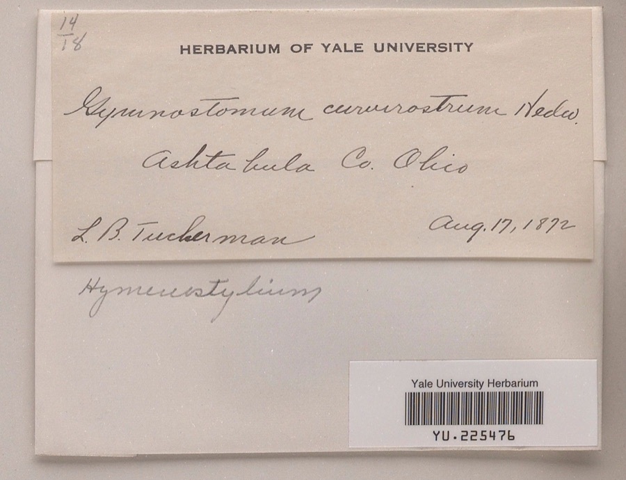
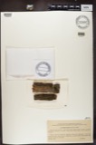
Specimen of Hymenostylium curvirostre Mitt.1872Hymenostylium curvirostre Mitt.Plantaenot statedL. B. TuckermanYPM YU.225476
A photograph of the species Hymenostylium recurvirostrum, not of this specimen1872Hymenostylium recurvirostrum (Hedw.) DixonPlantaenot statednot recordedNY 343768
A photograph of the species Chara Linnaeus, not of this specimen1880Chara Linnaeus, 1753PlantaeLakeville Conn. U.S.AAllen, T.F.MEL MEL 2537875A
A photograph of the species Cardamine douglassii, not of this specimen1890Cardamine douglassii BrittonPlantaeOrwell.E. E. BogueUSF 7781
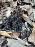
A photograph of the species Conopholis americana, not of this specimen1890Conopholis americana (L.) Wallr.PlantaeOrwell.E. E. BogueWTU 95700
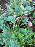
A photograph of the species Geum rivale, not of this specimen1890Geum rivale L.PlantaeOrwell.E. E. BogueUSF 7807
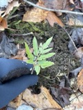
A photograph of the species Sceptridium dissectum, not of this specimen1890Sceptridium dissectum (Spreng.) LyonPlantaeOrwellE. E. BogueNY 3527104
A photograph of the species Bacidia luteola, not of this specimen1891Bacidia luteola (Ach.) MuddFunginot statedE. E. BogueVT UVMVT015050

The townships, in 1920

56,186 words

Genealogical Gleanings from Ashtabula County Ohio devotes a chapter to each township: its boundaries and streams, who settled it and when, the mills, the schools and the churches. All 7 are reproduced here in full. Each row shows the township's own shape and where it lies in the county, drawn from the Census Bureau's boundary. Which settlements belong to which township is computed from that same boundary, not taken from the book.

The people it describes

17 named

Everyone Genealogical Gleanings from Ashtabula County Ohio stops to write about, with the section that describes them. Among them are the men who founded the place and governed the Territory. Each name opens the passage itself, in the words of 1920.

Every populated place in the county

103

Named settlements recorded in the Geographic Names Information System, each with the topographic sheets covering it. Villages, hamlets and abandoned places alike. Each is shown with the watercourse or landform it stands on and the survey quadrangle it falls on. The 5 places that were also surveyed for fire insurance come first, with the number of atlases and photographs held for them.

Recorded here

Ashtabula, Ohio

14 topographic sheets and 10 fire insurance atlases, 1884 to 1947

Conneaut, Ohio

12 topographic sheets and 9 fire insurance atlases, 1884 to 1947

Geneva, Ohio

17 topographic sheets and 8 fire insurance atlases, 1885 to 1945

Jefferson, Ohio

12 topographic sheets and 8 fire insurance atlases, 1884 to 1938

Andover, Ohio

18 topographic sheets and 4 fire insurance atlases, 1896 to 1926

Everything this county holds

The complete index, with nothing left out. Each of these is a separate record with its own page: a federal survey report, or the case file that argued a property on to the National Register. Both are public domain and reproduced word for word.

Surveyed structures

6 structures

Nomination case files

32 case files

The vanished settlements of Ashtabula County, the places these records name that are no longer on the map.

Provenance

  • Topographic sheets. USGS Historical Topographic Map Collection, county index, measured from the bulk metadata.
  • Fire insurance maps. Library of Congress Sanborn collection, faceted to this county.
  • Photographs. Each place queried individually against the Library of Congress Prints and Photographs search.
  • Wildfire. Short, Karen C. 2022. Spatial wildfire occurrence data for the United States, 1992-2020 [FPA_FOD_20221014]. 6th Edition. Fort Collins, CO: Forest Service Research Data Archive. https://doi.org/10.2737/RDS-2013-0009.6 Collected with United States Government funding and usable without additional permissions or fees.
  • Specimens. Global Biodiversity Information Facility (GBIF), https://www.gbif.org/. Only records licensed CC0 or CC BY are used. Records licensed CC BY-NC are excluded because this site carries advertising. Images are checked individually and any whose licence is non-commercial, no-derivatives or unreadable is refused.
  • Mines and quarries. USGS Mineral Resources Data System (MRDS) https://mrdata.usgs.gov/mrds/ A work of the United States government, no copyright under 17 U.S.C. 105.
  • Storms. NOAA National Centers for Environmental Information, Storm Events Database https://www.ncei.noaa.gov/stormevents/ A work of the United States government, no copyright under 17 U.S.C. 105. Narratives are quoted verbatim from the National Weather Service report and are not edited or summarised.