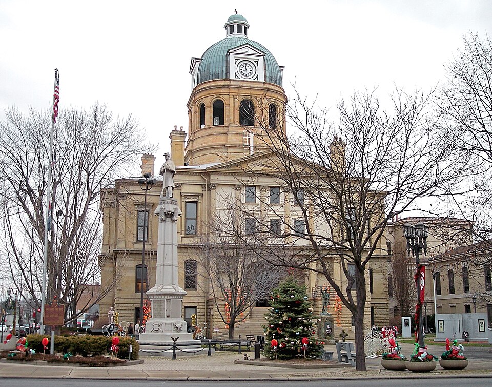
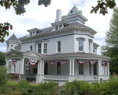
Built in 1882. Listed on the National Register of Historic Places in
1973. A historic map-sheet match is not published yet. The record needs a coordinate-quality review before it can be joined to a sheet boundary.
From the record
“The Tuscarawas County Courthouse is located at 125 East High Avenue in New Philadelphia, Ohio. The courthouse was constructed by Thomas Boyd in 1882 in the Classical Revival style.”
Wikipedia article Tuscarawas County Courthouse, CC BY-SA 4.0.
one of 20 National Register listings in Tuscarawas County · listed in 1973 · category: Building · built in 1882 · one of 1 National Historic Landmarks in Tuscarawas County.
National Register reference number.73001544- the number the National Park Service assigned this property when it was listed, and the key its nomination file is catalogued under at the National Archives.
Fires near this property
22 since 2005
Regional context, not property-specific
evidence. The
federal wildfire occurrence database
lists 22 fires within 5 miles of Tuscarawas County Courthouse between
2005 and 2020, burning about 53 acres in total. None started naturally. 1 was recorded as arson.
Distance is straight-line from the map coordinates, so a fire counted
here may appear on a neighbouring settlement's page as well.
Reported cause
Fires
Debris and open burning
11
Missing data/not specified/undetermined
4
Misuse of fire by a minor
2
Power generation/transmission/distribution
2
Equipment and vehicle use
1
Arson/incendiarism
1
Recreation and ceremony
1
The most recent of
them, most recent first, with the day each was reported and the service
that recorded it.
Regional context, not property-specific
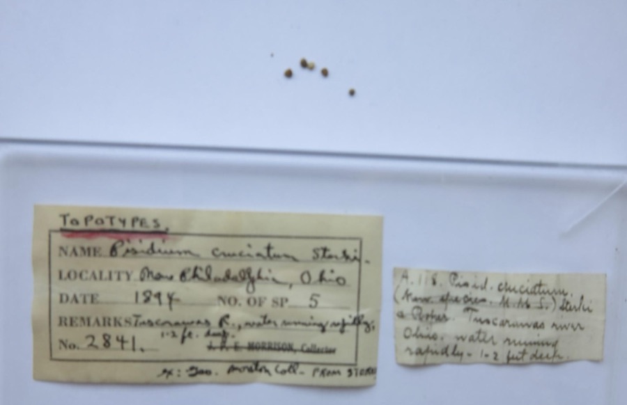
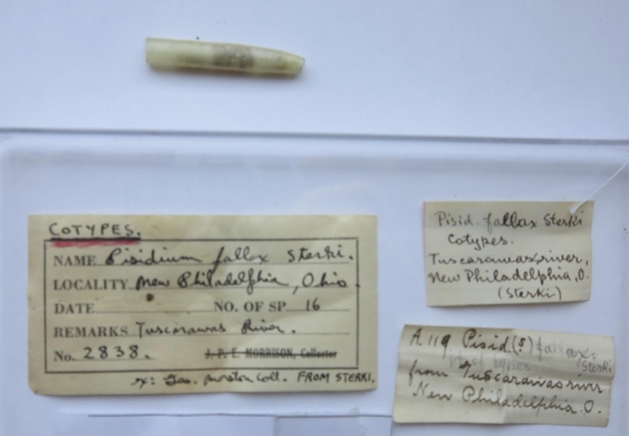
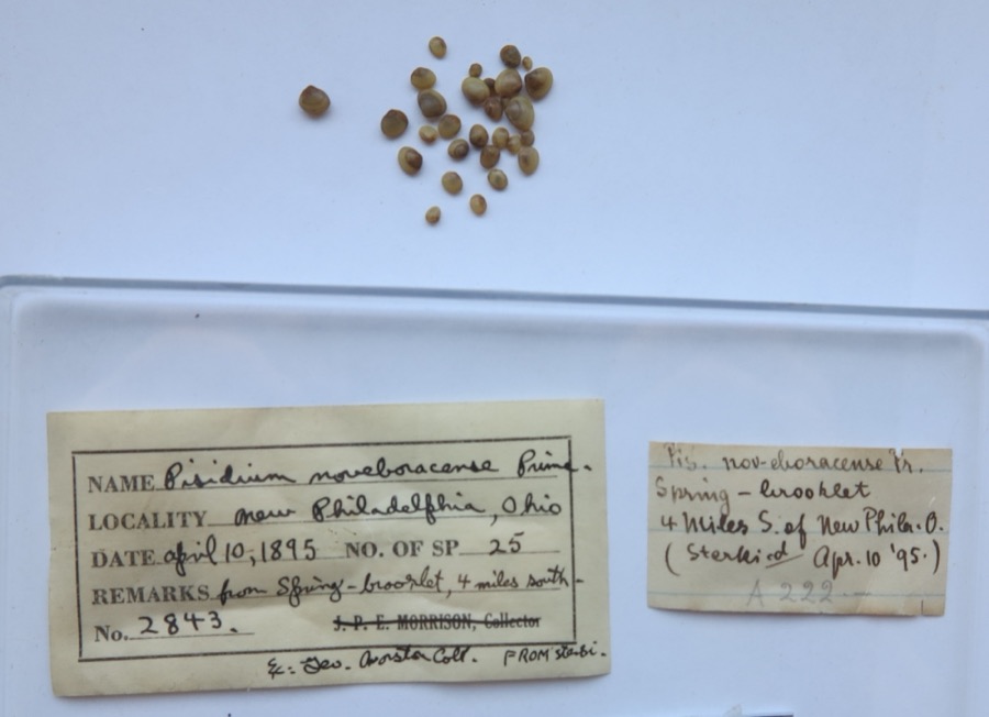
evidence. Museums hold 576 specimens
collected within 10 miles of Tuscarawas County Courthouse between 1851 and
1973: 463 Animalia, 95 Plantae, 16 Fungi, 2 Unrecorded. 12 distinct Species records are shown.
Collected by A W Cusick, A. Cibula, A. Cobula and others. Each is a
physical object with a catalogue
number, and each entry opens the museum's record. This is what was
collected and kept, not a survey of what lives here - nothing can be
concluded from a species being absent.
Regional context, not property-specific
evidence. The federal mineral resources record lists
10 workings within 5 miles of Tuscarawas County Courthouse: 5 past producers, 5 producers.
5 still produce. What was taken out: Clay, Sand and Gravel, Construction, Stone, Crushed/Broken, Limestone, General. Distance is straight-line from the
map coordinates, so a quarry counted here may appear on a neighbouring
settlement's page as well.
Regional context, not property-specific
evidence. The National Weather Service names
New Philadelphia, the town this property stands in, in 89 storm reports between 1994 and 2025: 45 thunderstorm wind, 26 hail, 12 flash flood, 5 flood.
The reports record 5 injuries. Each account below is quoted exactly as the forecast office
filed it, from the NOAA Storm Events Database, and each date
opens the federal record of that event.
A sign on top of a department store in New Philadelphia was blown over by thunderstorm winds, causing part of the roof to cave in. Four employees inside the store were injured. Nearby, one tree was blown over onto a vehicle and another tree fell onto power lines.
An F2 tornado touched down near May Rd just off Route 52 southwest of New Philadelphia. It moved east northeast at 45 mph, damaging several homes along Crooked Run Rd. Several homes had significant damage with roofs taken completely off; some walls were toppled. Several garages and barns suffered significant damage. Few garages completely destroyed. A least one mobile home was knocked off its foundation.Many trees and power lines were downed. Tornado went across Interstate 77 and into New Philadelphia, where 12 homes had scattered damage. Crooked Run Rd had the most significant damage. Path length 3.5 miles; path width 175 yards; maximum winds estimated 120 mph.
A local restaurant had an HVAC unit blown off of its roof on Mill Avenue in New Philadelphia. The gas and electric lines were broken, leading to a fire.
Tuscarawas River at New Philadelphia rose above flood stage (7 ft) at 812 PM EDT on 22nd. It crested at 7.45 ft at 10 PM EDT on 22nd, and fell below flood stage at 115 AM EDT on the 23rd.
1 paper published in this town,
digitised by the Library of Congress and free to read: 0 issues,
0 pages. Every page is searchable, so a name or a street can be
looked for directly in what the town printed about itself at the time.
No historic map-sheet match is published
for this property yet. That does not mean no map exists. This record needs
a coordinate-quality review before it can be joined to a sheet boundary.
Browse the county's mapped places while that work is
pending.
From the nomination file
1,157 words on record
When this property was proposed for the
National Register, someone wrote the case for it: what the building is,
and why it matters. That document is a federal record in the public domain.
It is quoted below word for word, never summarised. The text was read off the scanned case file by machine, so the
occasional stray character is the recogniser's and the 1970s
typewriter's.
Description of the property
above the ground floor, is built of smooth-dressed stone. The dome, located in the center of the roof, rises about seventy Iloors, arched on the first. On the second floor the windows The courthouse interior is straightforward. A central stairway CONDITION Ruins rock-faced stone extends above the ground and meets the first The building windows are rectangular on the ground and second second floor is also adorned with square pilasters with Corinthian courthouse to its original appearance. first floor carries the smooth-dressed stone on up the walls, The center sections of the building project on all sides of the The three story (including raised basement) Tuscarawas County Unfortunately, this program did major damage to the appearance one hundred twenty feet square.
sculpture group rested on the top of the dome. marble floors blend with the marble wainscoting found on the Stone steps lead to the arched entrance on the south side.The Numerous modifications have been made to the exterior of the capitals.The roof is hipped, and composed of slate. have an ornate cornice.A cornice-like belt course of smooth openings around its upper part.Inside the base, the ceiling on the south and west sides were five smaller windows.Also stone divides the first and second floors on the exterior.The floor exterior at a belt course of smooth-dressed stone.The The round dome is one of the finest features of the building. base for the upper part of the building.The foundation of but the the texture of the foundation is echoed in the quoins.
with two flights of stairs leads to the second floor.The on a rock-faced stone foundation, and the remainder of the building, (Check One) courthouse, especially on the second floor. Originally the the doors were large, hardwood types. The walls behind the a buff color) and has four clock faces.
February 15, 1808. The first permanent settlements were Schoenbrunnand Gnadenhutten. New Philadelphia, the county seat, was laid out in 1804 by John Knisely. Around 1880, the county conmissioners decided to build work. The building was constructed starting 1882, and was JUN 1 5 1973 Architecture Commerce Conservation Engineering Communications Transportation Industry REGISTER Aboriginal losophy Education NATIONAL Religion/Phi Science Literature Theater Landscape Music Prehistoric itarian Agriculture Social/Human- Political Tuscarawas County was formed from part of Muskingum County Sculpture tavern, and an adjacent log stable was used as a jail. made by pioneers generally from Western Virginia and Pennsylvania. and contractor T.B.
Townsend did the major construction Earlier, unsuccessful settlements were made at Fort Laurens, The first court in New Philadelphia was held in a log in the nineteenth century.During the 1830s a new structure completed and occupied in 1885.The courthouse was erected They hired architect Thomas Boyd to design the building, a new courthouse to house the ever-expanding county business. The first courthouse was a frame structure, built early Military was erected, and proved to be adequate until the 1870s. at a cost of $99,860. Art American Buildings Survey, National Parks Service, Washington, D. C. 695, volume II. Beers & Co., 1884.
Quoted from the National Register nomination
for reference 73001544, 9 pages, held by the National Archives in Record
Group 79. See the
catalogue record.
Listed places nearby
6 within 8 miles
Other National Register properties close
enough to walk or drive between, ordered by distance from this one. Both
positions come from the same geocoding pass that matched these properties
to their map sheets.
Listing record. National Park Service National Register of Historic Places, listed-properties dataset, current to 2026-05-22.
Map join. Address geocoded through the United States Census geocoder, then tested against the published boundary of every sheet in the USGS Historical Topographic Map Collection.
How this page is made. Listing fields come from federal records; map-sheet coverage is a labelled coordinate-to-boundary calculation, not a source-field claim.
Wildfire. Short, Karen C. 2022. Spatial wildfire occurrence data for the United States, 1992-2020 [FPA_FOD_20221014]. 6th Edition. Fort Collins, CO: Forest Service Research Data Archive. https://doi.org/10.2737/RDS-2013-0009.6 Collected with United States Government funding and usable without additional permissions or fees.
Specimens. Global Biodiversity Information Facility (GBIF), https://www.gbif.org/. Only records licensed CC0 or CC BY are used. Records licensed CC BY-NC are excluded because this site carries advertising. Images are checked individually and any whose licence is non-commercial, no-derivatives or unreadable is refused.
Mines and quarries. USGS Mineral Resources Data System (MRDS) https://mrdata.usgs.gov/mrds/ A work of the United States government, no copyright under 17 U.S.C. 105.
Storms. NOAA National Centers for Environmental Information, Storm Events Database https://www.ncei.noaa.gov/stormevents/ A work of the United States government, no copyright under 17 U.S.C. 105. Narratives are quoted verbatim from the National Weather Service report and are not edited or summarised.
 Block
Block