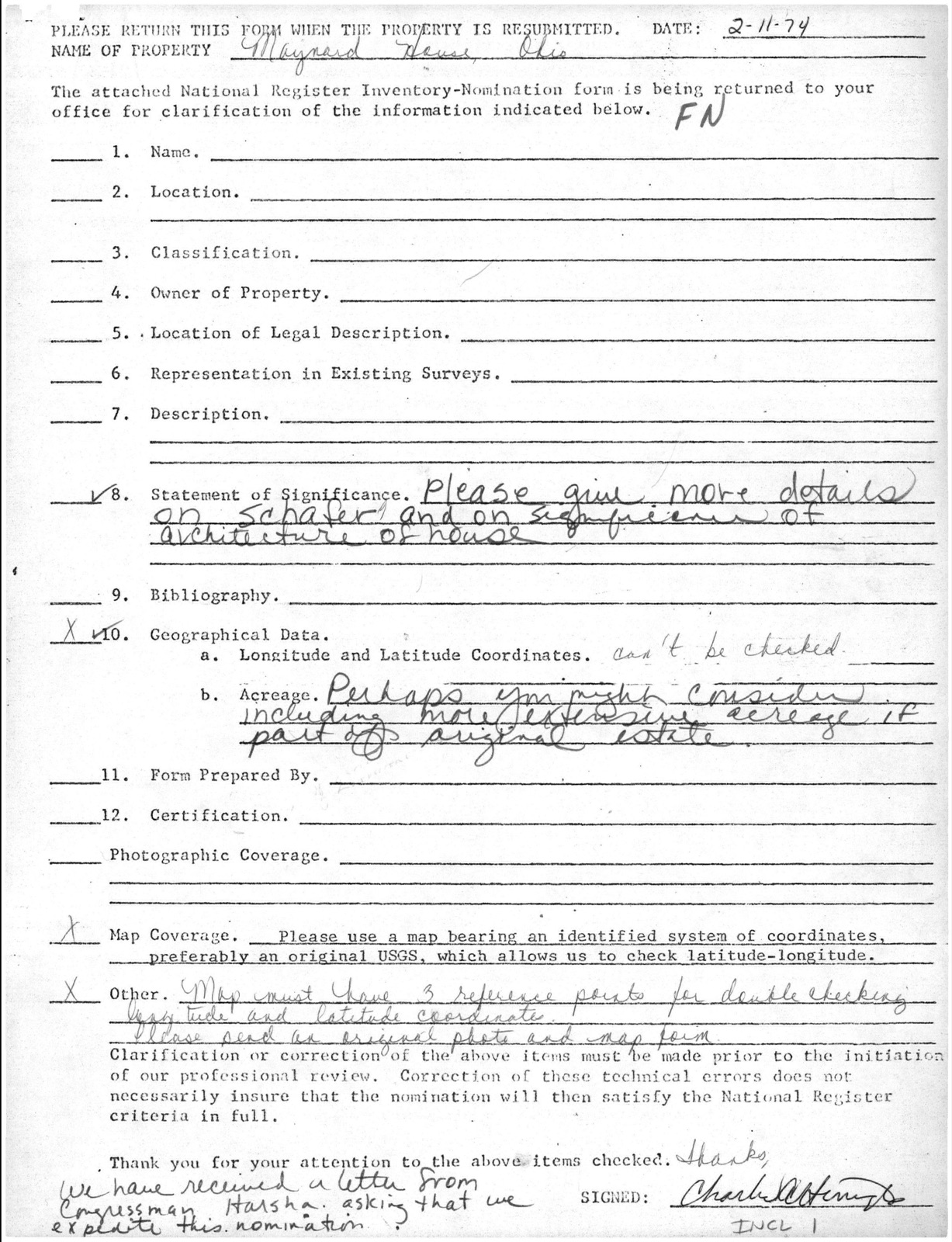
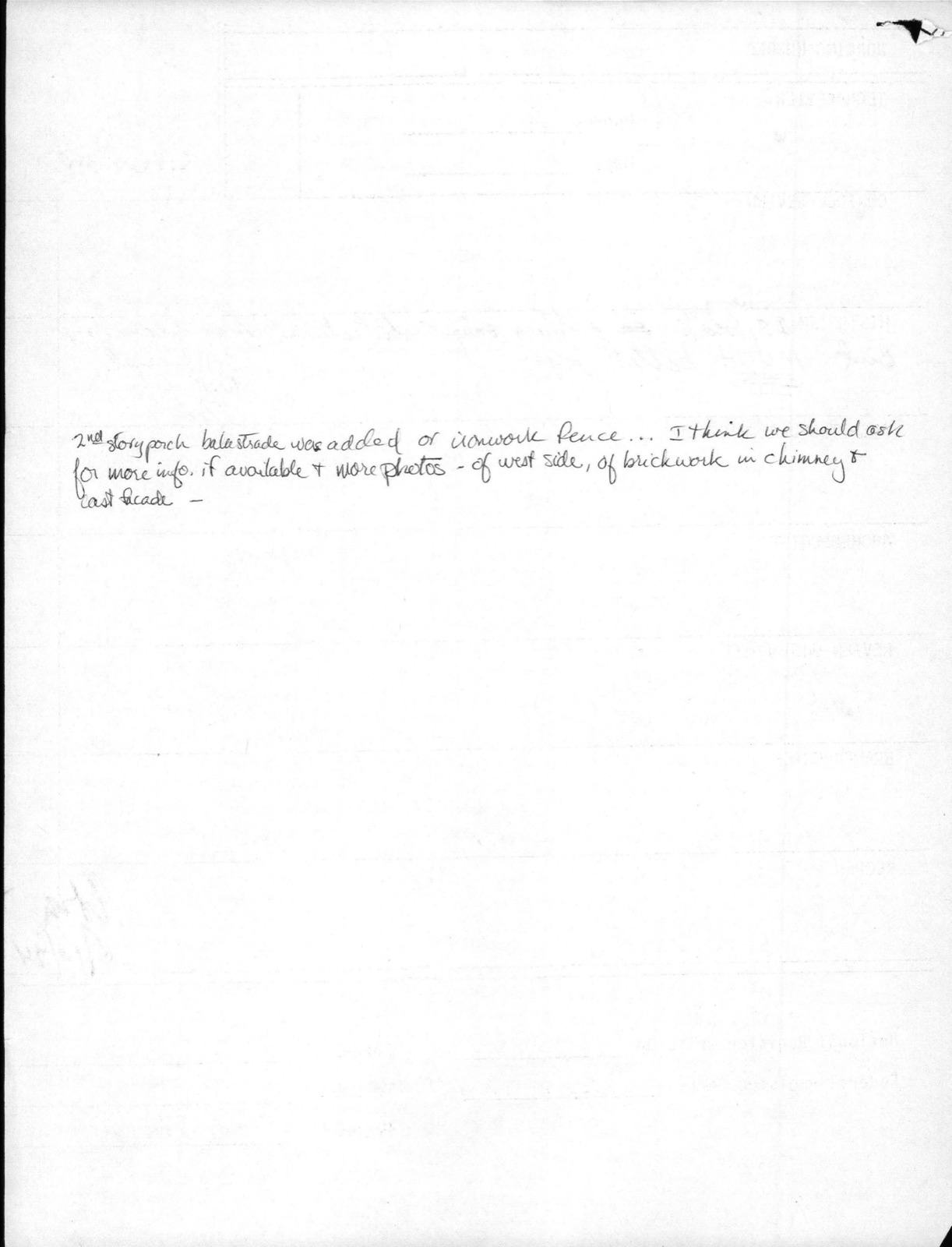
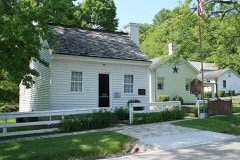
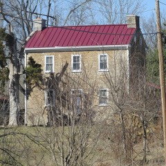
Photographs from the nomination case file, National Park Service records.
Schafer House
Listed on the National Register of Historic Places in
1974. A historic map-sheet match is not published yet. The record needs a coordinate-quality review before it can be joined to a sheet boundary.
From the record
“Batavia, the county seat in the central part of the county, Williamsburg in the east-central part, and Milford and Loveland in the northeastern part, are the principal towns and are railroad points of local importance. Amelia and Newtonsville have canning factories and interurban connections with Cincinnati, Bethel, Felicity, New Richmond, Newtonsville, and Edenton are important shipping points connected with Cincinnati by interurban.”
Soil Survey of Clermont County, Ohio (1928) (1928). Machine-read text.
one of 15 National Register listings in Clermont County · listed in 1974 · category: Building.
National Register reference number.74001417- the number the National Park Service assigned this property when it was listed, and the key its nomination file is catalogued under at the National Archives.
Batavia, the county seat in the central part of the county, Williamsburg in the east-central part, and Milford and Loveland in the northeastern part, are the principal towns and are railroad points of local importance. Amelia and Newtonsville have canning factories and interurban connections with Cincinnati, Bethel, Felicity, New Richmond, Newtonsville, and Edenton are important shipping points connected with Cincinnati by interurban. New Richmond, Point Pleasant, Moscow, Neville, Chilo, and Utopia are situated on Ohio River and have steamboat shipping facilities. River navigation, which in the early history of the county afforded the chief means of travel, has been of minor importance for many years; but it may become of greater importance in the future as a result of the Ohio River improvement, in connection with which a series of dams are being constructed to aid in low-water navigation. Two dams adjoin Clermont County, one at Chilo, the other near New Richmond.
Regional context, not property-specific
evidence. Museums hold 82 specimens
collected within 10 miles of Schafer House between 1896 and
1974: 68 Animalia, 12 Fungi, 1 Plantae, 1 Unrecorded. 12 distinct Species records are shown.
Collected by A.M Bradford, Bureau of Fisheries, Culberson W. L. and others. Each is a
physical object with a catalogue
number, and each entry opens the museum's record. This is what was
collected and kept, not a survey of what lives here - nothing can be
concluded from a species being absent.
Regional context, not property-specific
evidence. The federal mineral resources record lists
2 workings within 5 miles of Schafer House: 1 plant, 1 producer.
All of them still produce. What was taken out: Stone, Crushed/Broken, Calcium, Stone, Crushed/Broken. Distance is straight-line from the
map coordinates, so a quarry counted here may appear on a neighbouring
settlement's page as well.
Regional context, not property-specific
evidence. The National Weather Service names
Neville, the town this property stands in, in 8 storm reports between 1995 and 2022: 6 thunderstorm wind, 2 tornado.
No death or injury is recorded in these reports. Each account below is quoted exactly as the forecast office
filed it, from the NOAA Storm Events Database, and each date
opens the federal record of that event.
A tornado touched down near U.S. Highway 52 and destroyed a 100 by 40-foot metal barn. Debris of the barn was found one-half mile away. Several large trees were also downed.
No historic map-sheet match is published
for this property yet. That does not mean no map exists. This record needs
a coordinate-quality review before it can be joined to a sheet boundary.
Browse the county's mapped places while that work is
pending.
From the nomination file
3,026 words on record
When this property was proposed for the
National Register, someone wrote the case for it: what the building is,
and why it matters. That document is a federal record in the public domain.
It is quoted below word for word, never summarised. The text was read off the scanned case file by machine, so the
occasional stray character is the recogniser's and the 1970s
typewriter's.
Description of the property
original house, made of white painted bricks, was 45 feet wide and 35 feet located in the wings.The main bedroom and a bath are located on the Colonial double-hung windows with shutters.The first floor of the RECEIVED of Colonial design.With the addition of two single-story wings in the PERIOD (Check One or More as Appropriate) - Pre-Columbian - 15th Century SPECIFIC DATE(S) (If Applicable and Known) - Political - Urban Planning - Prehistoric - Religion/Phi- ] Science ] Sculpture ] Social/Human- - Military ] Theater - Transportation Generals Grant and Sherman were guests in the house. SEP 14 1973 Architecture Communications Conservation Aboriginal REGISTER Commerce Engineering losophy Literature NATIONAL Education Agriculture Music across the river in Kentucky.
Landscape Industry Schafer and Ulysses S. Grant had become friends at West Point and STATEMENT OF
Statement of significance
SIGNIFICANCE Other(Specify) AREAS OF SIGNIFICANCE(Check One or More as Appropriate) Art Invention Construction was unique in that it was built by slaves that were quartered Clermont County Historical Society, Batavia, Ohio, 1966 DEFINING A RECTANGLE LOCATING THE PROPERTY OF LESS THAN TEN ACRES Charles R.
Johnson, Outdoor Recreation Planner State Liaison Officer recommendation: In compliance with Executive Order 11593, I hereby Director, Office of Archeology and Historic Preservation nominate this property to the National Register, certify- ing that the State Liaison Officer has been allowed 90 days in which to present the nomination to the State Re- - National (X State GPO 938-449 054 Huntington Degrees LATITUDE LONGITUDE Seconds Date Minutes West Virginia STATE CORNER ATTEST: Degrees Minutes Seconds Corps of Engineers PHONE: COUNTY: CODE NATIONAL BUSINESS ADDRESS: State Liaison Officer Signature National Register LATITUDE AND LONGITUDE COORDINATES 502 8th Street 16 April 1973
Quoted from the National Register nomination
for reference 74001417, 22 pages, held by the National Archives in Record
Group 79. See the
catalogue record.
Listed places nearby
2 within 8 miles
Other National Register properties close
enough to walk or drive between, ordered by distance from this one. Both
positions come from the same geocoding pass that matched these properties
to their map sheets.
Listing record. National Park Service National Register of Historic Places, listed-properties dataset, current to 2026-05-22.
Map join. Address geocoded through the United States Census geocoder, then tested against the published boundary of every sheet in the USGS Historical Topographic Map Collection.
How this page is made. Listing fields come from federal records; map-sheet coverage is a labelled coordinate-to-boundary calculation, not a source-field claim.
Specimens. Global Biodiversity Information Facility (GBIF), https://www.gbif.org/. Only records licensed CC0 or CC BY are used. Records licensed CC BY-NC are excluded because this site carries advertising. Images are checked individually and any whose licence is non-commercial, no-derivatives or unreadable is refused.
Mines and quarries. USGS Mineral Resources Data System (MRDS) https://mrdata.usgs.gov/mrds/ A work of the United States government, no copyright under 17 U.S.C. 105.
Storms. NOAA National Centers for Environmental Information, Storm Events Database https://www.ncei.noaa.gov/stormevents/ A work of the United States government, no copyright under 17 U.S.C. 105. Narratives are quoted verbatim from the National Weather Service report and are not edited or summarised.
 Block
Block