Listed on the National Register of Historic Places in
1974. A historic map-sheet match is not published yet. The record needs a coordinate-quality review before it can be joined to a sheet boundary.
From the record
one of 338 National Register listings in Cuyahoga County · listed in 1974 · category: Site · one of 3 National Historic Landmarks in Cuyahoga County.
National Register reference number.74001460- the number the National Park Service assigned this property when it was listed, and the key its nomination file is catalogued under at the National Archives.
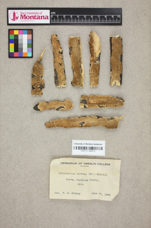
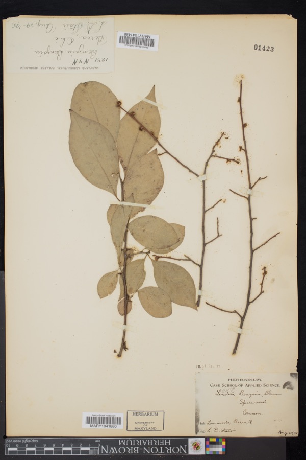
Specimens collected near this property
12 of 1,068 shown
Regional context, not property-specific
evidence. Museums hold 1,068 specimens
collected within 10 miles of Fort Hill between 1849 and
1975: 971 Animalia, 62 Plantae, 28 Fungi, 6 Protozoa, 1 Unrecorded. 12 distinct Species records are shown.
Collected by A. D. Huryn, A. G. Newhall, A. Hall and others. Each is a
physical object with a catalogue
number, and each entry opens the museum's record. This is what was
collected and kept, not a survey of what lives here - nothing can be
concluded from a species being absent.
Regional context, not property-specific
evidence. The National Weather Service names
North Olmsted, the town this property stands in, in 37 storm reports between 1995 and 2026: 24 thunderstorm wind, 10 hail, 3 flash flood.
No death or injury is recorded in these reports. Each account below is quoted exactly as the forecast office
filed it, from the NOAA Storm Events Database, and each date
opens the federal record of that event.
Extensive flash flooding in North Olmsted, Brooklyn, Brook Park, Parma, and Parma Heights. Widespread basement flooding and road closures. Several underpasses under I-480 inundated with flood waters. A structure collapse was reported in North Olmsted due to the weight of water on the roof. Flooded roadways include Brookpark Road, West Ridgewood Drive, Pleasant Valley Road near York Road, and Sprague Road near West 130th Street. Multiple water rescues reported in this area. Cleveland Metroparks Zoo experienced flood damage due to flooding of Big Creek. The USGS river gage near the zoo on Big Creek rose from 3.8 feet to 12.8 feet in 70 minutes before the gage was knocked out of service by a fallen tree. Radar estimated 1.5 to 2.25 inches of rainfall in less than three hours, with much of the rainfall falling in less than one hour.
A thunderstorm downburst caused a path of damage from North Olmsted to Berea to Middleburg Heights. Dozens of trees were downed along the damage path which was intermittent. Some of the downed trees blocked roads, including Interstate 71. Damage occurred at a construction project at the Great Northern Mall in North Olmsted. Thunderstorm winds damaged a food court roof and toppled a section of wall at the mall. Several homes elsewhere along the damage path were damaged by the fallen trees.
Thunderstorm winds downed trees and limbs across all of Cuyahoga County resulting in scattered power outages. At the peak of the storm several thousand customers were without power.
Power pole downed at corner of Sparky Lane and Lorain Road in North Olmsted. This damage was caused by the outflow-dominant portion of a line of thunderstorms.
Thunderstorms dumped between one and two inches of rain in less than 90 minutes. The heavy rain caused the Rocky River to leave its banks in North Olmsted. A car became stuck in the flood waters and two people in the car had to be rescued by firefighters.
No historic map-sheet match is published
for this property yet. That does not mean no map exists. This record needs
a coordinate-quality review before it can be joined to a sheet boundary.
Browse the county's mapped places while that work is
pending.
From the nomination file
1,377 words on record
When this property was proposed for the
National Register, someone wrote the case for it: what the building is,
and why it matters. That document is a federal record in the public domain.
It is quoted below word for word, never summarised. The text was read off the scanned case file by machine, so the
occasional stray character is the recogniser's and the 1970s
typewriter's.
Description of the property
were 15 feet wide and the ditches 11 feet wide. From the bottom of shaping actions of the river has left a plateau of land approximately the defensive eastern tip only used in the face of eminent danger. the east wall. The three walls and ditches total 100 feet in width RECEIVED Ruins Rocky River and an area north of their confluence.The topography- PERIOD (Check One or More as Appropriate) X Pre-Columbian! - 20th Century SPECIFIC DATE(S) (If Applicable and Known) AREAS OF
Quoted from the National Register nomination
for reference 74001460, 10 pages, held by the National Archives in Record
Group 79. See the
catalogue record.
Listed places nearby
6 within 8 miles
Other National Register properties close
enough to walk or drive between, ordered by distance from this one. Both
positions come from the same geocoding pass that matched these properties
to their map sheets.
Listing record. National Park Service National Register of Historic Places, listed-properties dataset, current to 2026-05-22.
Map join. Address geocoded through the United States Census geocoder, then tested against the published boundary of every sheet in the USGS Historical Topographic Map Collection.
How this page is made. Listing fields come from federal records; map-sheet coverage is a labelled coordinate-to-boundary calculation, not a source-field claim.
Specimens. Global Biodiversity Information Facility (GBIF), https://www.gbif.org/. Only records licensed CC0 or CC BY are used. Records licensed CC BY-NC are excluded because this site carries advertising. Images are checked individually and any whose licence is non-commercial, no-derivatives or unreadable is refused.
Storms. NOAA National Centers for Environmental Information, Storm Events Database https://www.ncei.noaa.gov/stormevents/ A work of the United States government, no copyright under 17 U.S.C. 105. Narratives are quoted verbatim from the National Weather Service report and are not edited or summarised.
 Block
Block