Listed on the National Register of Historic Places in
1979. A historic map-sheet match is not published yet. The record needs a coordinate-quality review before it can be joined to a sheet boundary.
From the record
one of 338 National Register listings in Cuyahoga County · listed in 1979 · category: Building · one of 3 National Historic Landmarks in Cuyahoga County.
National Register reference number.79001814- the number the National Park Service assigned this property when it was listed, and the key its nomination file is catalogued under at the National Archives.
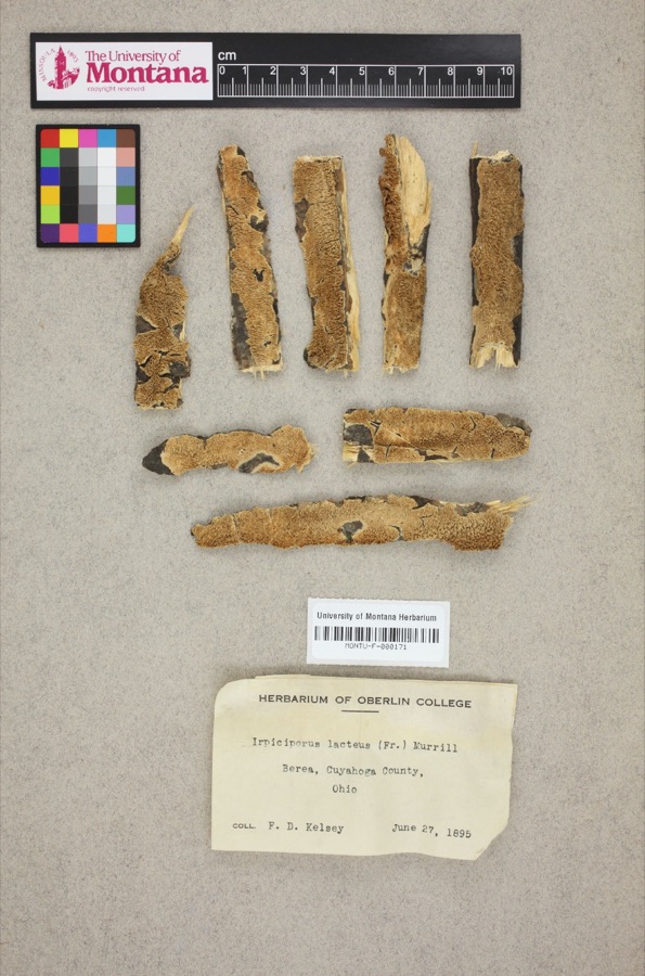
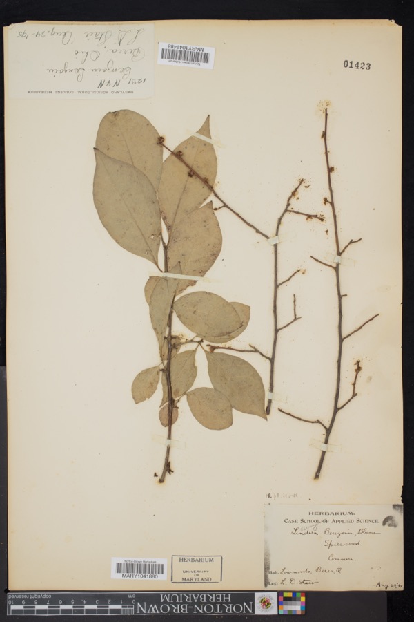
Specimens collected near this property
12 of 1,067 shown
Regional context, not property-specific
evidence. Museums hold 1,067 specimens
collected within 10 miles of Lay, Samuel, House between 1849 and
1975: 975 Animalia, 59 Plantae, 28 Fungi, 4 Protozoa, 1 Unrecorded. 12 distinct Species records are shown.
Collected by A. D. Huryn, A. G. Newhall, A. Hall and others. Each is a
physical object with a catalogue
number, and each entry opens the museum's record. This is what was
collected and kept, not a survey of what lives here - nothing can be
concluded from a species being absent.
Regional context, not property-specific
evidence. The National Weather Service names
Olmsted Falls, the town this property stands in, in 10 storm reports between 2001 and 2013: 5 thunderstorm wind, 4 hail, 1 flash flood.
No death or injury is recorded in these reports. Each account below is quoted exactly as the forecast office
filed it, from the NOAA Storm Events Database, and each date
opens the federal record of that event.
Thunderstorms with efficient rainfall rates moved over Cuyahoga County. Doppler Radar estimated over two inches of rainfall withing 75 minutes fell over portions of the county. Olmsted Falls experienced widespread flooding as streams downtown overflowed their banks. Water several feet deep was reported over Cook Road in the northern portion of town.
No historic map-sheet match is published
for this property yet. That does not mean no map exists. This record needs
a coordinate-quality review before it can be joined to a sheet boundary.
Browse the county's mapped places while that work is
pending.
From the nomination file
1,594 words on record
When this property was proposed for the
National Register, someone wrote the case for it: what the building is,
and why it matters. That document is a federal record in the public domain.
It is quoted below word for word, never summarised. The text was read off the scanned case file by machine, so the
occasional stray character is the recogniser's and the 1970s
typewriter's.
Description of the property
In the cellar of the main block, the joists are bark-covered logs. Much in the mid-20th century, but the present owners have exposed the original a barn. Evidence indicates that the barn, constructed of hewn beams CONDITION UNEXPOSED DETERIORATED FAIR GOOD The windows are six-over-six pane double-hung sash. There is an L-shaped rectangular opening with a slightly recessed door, transom and side lights. CHECK ONE the main block. rooms in the entire house.One original fireplace is located in the wing.
plaster in three of the four bedrooms, the center upstairs hallway, and village and includes three outbuildings: an outhouse, a workshed, and The gable-end facade of the main block has a Greek frieze and was built in the 1930s.The total interior area is approximately 3,700 square and pegged joints,was reassembled on the present site in the early Most of the interior walls had been paneled with fiber board some time portions of the dining and living rooms. of the original small-pane glass remains in the windows.There are fifteen block measures 24x30 feet and the one-and-a-half story wing is 17x40 _UNALTERED cornice with eaves returns.The entrance at the left side is a simple 20th century.
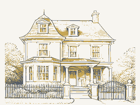
The property consistsof1.5 acres on the main street ofa suburban feet.To the rear of the house isa one-story addition,18x20 feet,which -RUINS _ORIGINAL SITE porch with five posts across the front of the wing and the south side of DATE This is a large frame house in the Greek Revival style.The main two-story AREAS OF
Statement of significance
contributed to the reputation of Olmsted Falls in invention, manufacturing, and public life. 1856. Samuel Lay, Jr. and his brothers Joseph and John came to Olmsted Falls in 1855. Their parents (Samuel Lay, Sr.) followed in 1858. This date, but it is impossible to authenticate a more accurate date. first county fair in 1871. Of the three sons, only Samuel, Jr. served in As a result, he moved the business to Ridgeville, Indiana, in 1887.
The Samuel Lay house possesses integrity of location, design, setting, 1858 1400-1499 1500-1599 1600-1699 ART INVENTION EDUCATION SCIENCE SIGNIFICANCE PERIOD BUILDER/ARCHITECT AGRICULTURE THEATER CONSERVATION PREHISTORIC LAW TRANSPORTATION MILITARY ARCHEOLOGY-PREHISTORIC SCULPTURE _EXPLORATION/SETTLEMENT XARCHITECTURE LITERATURE the Berea Advertiser published an editorial on the American inventive _COMMUNICATIONS well as cheese boxes.For several years it was known as the Cheese _1700-1799 materials, feeling and association, and it is associated with persons who made a significant contribution to the village and the county and _SOCIAL/HUMANITARIAN Greek Revival building in the village.
It was owned by a family which Berea Agricultural Society, he was on the organizing committee for the manufacture to the point of exhausting the local supply of broom corn. present name in 1830.The village of Olmsted Falls was incorporated in 1900- _PHILOSOPHY - ENGINEERING to the broad patterns of our history. The township which became Olmsted was formed in 1823 and acquired its John Lay was the Mayor of Olmsted Falls in 1862.As a member of the X1800-1899 _RELIGION to be the most prolific inventors and manufacturers in the area.In 1879 genius and its fruits in Olmsted Falls asrepresented by the work of the _COMMERCE -MUSIC factory specializing in farm implements, wooden rakes and scythes, as The Samuel Lay house is noted locally as one of the best examples of the Civil War, from 1862-1864.
Quoted from the National Register nomination
for reference 79001814, 17 pages, held by the National Archives in Record
Group 79. See the
catalogue record.
Listed places nearby
6 within 8 miles
Other National Register properties close
enough to walk or drive between, ordered by distance from this one. Both
positions come from the same geocoding pass that matched these properties
to their map sheets.
Listing record. National Park Service National Register of Historic Places, listed-properties dataset, current to 2026-05-22.
Map join. Address geocoded through the United States Census geocoder, then tested against the published boundary of every sheet in the USGS Historical Topographic Map Collection.
How this page is made. Listing fields come from federal records; map-sheet coverage is a labelled coordinate-to-boundary calculation, not a source-field claim.
Specimens. Global Biodiversity Information Facility (GBIF), https://www.gbif.org/. Only records licensed CC0 or CC BY are used. Records licensed CC BY-NC are excluded because this site carries advertising. Images are checked individually and any whose licence is non-commercial, no-derivatives or unreadable is refused.
Storms. NOAA National Centers for Environmental Information, Storm Events Database https://www.ncei.noaa.gov/stormevents/ A work of the United States government, no copyright under 17 U.S.C. 105. Narratives are quoted verbatim from the National Weather Service report and are not edited or summarised.
 Block
Block