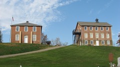
Listed on the National Register of Historic Places in
1974. A historic map-sheet match is not published yet. The record needs a coordinate-quality review before it can be joined to a sheet boundary.
From the record
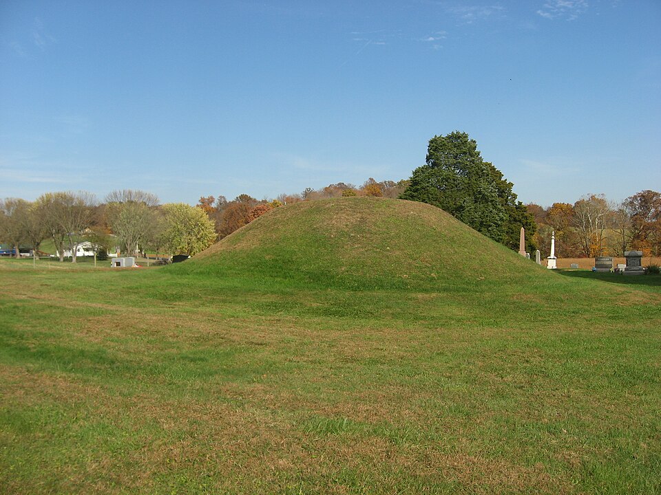
“The Mound Cemetery Mound is a Native American mound in central Meigs County, Ohio, United States. Located in the eponymous Mound Cemetery, the mound lies north of the community of Chester in Chester Township.”
Wikipedia article Mound Cemetery Mound (Chester, Ohio), CC BY-SA 4.0.
one of 8 National Register listings in Meigs County · listed in 1974 · category: Structure.
National Register reference number.74001575- the number the National Park Service assigned this property when it was listed, and the key its nomination file is catalogued under at the National Archives.
Fires near this property
42 since 2002
Regional context, not property-specific
evidence. The
federal wildfire occurrence database
lists 42 fires within 5 miles of Mound Cemetery Mound between
2002 and 2019, burning about 92 acres in total. None started naturally. None was recorded as arson.
Distance is straight-line from the map coordinates, so a fire counted
here may appear on a neighbouring settlement's page as well.
Reported cause
Fires
Missing data/not specified/undetermined
19
Debris and open burning
16
Equipment and vehicle use
3
Smoking
2
Power generation/transmission/distribution
2
The most recent of
them, most recent first, with the day each was reported and the service
that recorded it.
Regional context, not property-specific
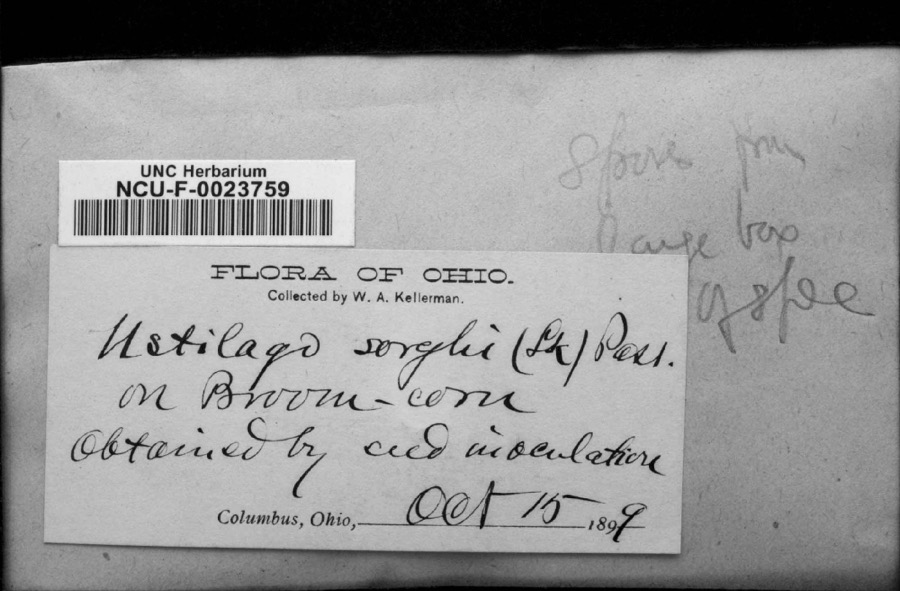
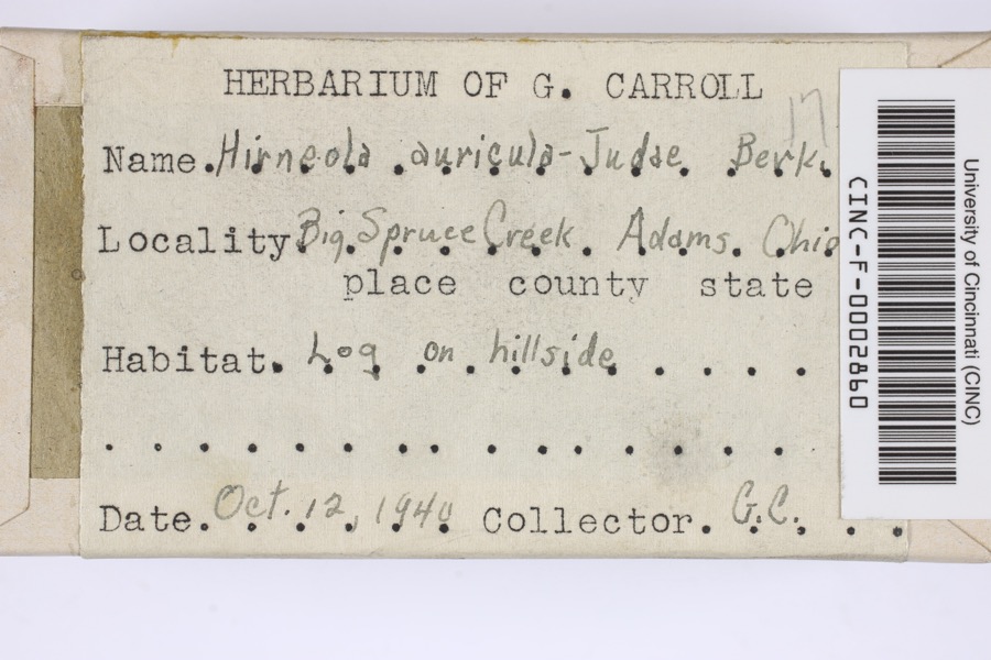
evidence. Museums hold 296 specimens
collected within 10 miles of Mound Cemetery Mound between 1831 and
1973: 254 Animalia, 35 Plantae, 7 Fungi. 12 distinct Species records are shown.
Collected by BRYAN, C R; BRYAN, B A, C. H. Jones, Carroll H. D. and others. Each is a
physical object with a catalogue
number, and each entry opens the museum's record. This is what was
collected and kept, not a survey of what lives here - nothing can be
concluded from a species being absent.
Regional context, not property-specific
evidence. The National Weather Service names
Chester, the town this property stands in, in 20 storm reports between 1995 and 2026: 11 flood, 6 thunderstorm wind, 2 hail, 1 tornado.
No death or injury is recorded in these reports. Each account below is quoted exactly as the forecast office
filed it, from the NOAA Storm Events Database, and each date
opens the federal record of that event.
The NWS Survey team found damage consistent with an EF-0 tornado. The tornado touched down along Pomeroy Pike just to the southwest of Chester. One small tin shed was lifted from its foundation and destroyed. A tree fell onto a home causing slight damage. In addition, several trees were uprooted, and numerous tree limbs were snapped in the same area. Near the end of the path, along Lakewood Road, several additional trees were knocked down.
The Shade River near Chester rose out of its 17 foot bankfull level during the last final minutes of February 28th. The river crested at 21.49 feet on the first day of March and returned to its banks just before noon on the 2nd. The Sugar Run Creek Bridge and Shade River Bridge flooded and became impassable while the river was out of its banks.
The Shade River near Chester rose above its 17 foot bank full level shortly after midnight on the 10th. It crested just above 21 feet that afternoon, reaching moderate flood stage. It slowly returned to its banks by the next morning. This flooded the Sugar Run Creek Bridge and Oak Hill Road.
Flooding along the Shade River resulted in the closure of State Route 248 between Route 7 and Route 124.||The river gage at Chester entered moderate flood stage during this time. The river rose above its bankfull level of 17 feet very late on the 22nd and crested a few inches above its 21 foot moderate flood level mid morning on the 23rd. It returned to its banks on the evening of the 24th.
The Shade River near Chester experience moderate flooding, causing high water on the Sugar Run Creek Bridge and Oak Hill Road. The river rose above its bankfull leavel of 17 feet during the afternoon of the 3rd. It crested at 23 feet, or 2 feet above moderate flood stage around noon on the 4th, and returned to its banks around sunrise on the 5th.
The Shade River caused some minor flooding. A few roads were blocked by high water. The gauge crested near 17.8 feet during the evening hours of the 31st. Bankfull is 17 feet.
The Shade River near Chester rose above a bankfull level of 16 feet on the morning of March 4th, then continued to rise to a crest around 19.2 feet on the morning of March 5th. The river then slowly receded through the day, returning below bankfull that evening. While the river was out of its banks, flooding of low sections of Scout Camp Road, the Sugar Run Creek Bridge, fields and low-lying areas adjacent to the river took place.
The gage along the Shade River near Chester exceeded its bankfull level of 16 feet during the early morning hours of January 25th. The river crested just over 17 feet late that night, then fell below bankfull once again early the next morning. Low lying spots along Scout Camp Road encountered high water issues as excessive water spilled onto the roadways while the river was out of its banks.
The Shade River near Chester rose above its bankfull level on the morning of April 12th. After cresting around 17.9 feet that evening, waters receded below bankfull early the next morning. A few low lying spots along Scout Camp Road near the Sugar Run Creek bridge flooded as a result of the river spilling out of its banks.
The Shade River at Chester rose above its bankfull level on the night of April 2nd. The river made an initial crest the next day, then rose again to a final crest near 20.8 feet shortly after midnight on the 4th. Waters receded from there and returned to its banks on the afternoon of the 4th. Several local roads near the gauge observed flooding during this time, including Scout Camp Road.
The Shade River at Chester rose above its bankfull level of 17 feet mid morning on the 25th, crested at 17.6 feet that afternoon and returned to its banks just after midnight on the 26th.
No historic map-sheet match is published
for this property yet. That does not mean no map exists. This record needs
a coordinate-quality review before it can be joined to a sheet boundary.
Browse the county's mapped places while that work is
pending.
From the nomination file
1,753 words on record
When this property was proposed for the
National Register, someone wrote the case for it: what the building is,
and why it matters. That document is a federal record in the public domain.
It is quoted below word for word, never summarised. The text was read off the scanned case file by machine, so the
occasional stray character is the recogniser's and the 1970s
typewriter's.
Statement of significance
unusual to find a site so well preserved. In this area, the three OCT 5 1972 Commerce Military Conservation Communications Engineering Landscape Transportation REGISTER Literature Architecture NATIONAL Science Aboriginal Theater Religion/Phi Education itarian historic Indians. losophy Social/Human- generations of Americans.
Industry Music Sculpture RECEIVED Political Urban Planning because it is subconical and symetrical in shape.The Adena culture These waterways form an excellent system for transportation and Invention social and religious status.A circular structure of timber used near the tributary of a major river.It is probable that the mound mound is also typical of these Indians who usually built on a hill where the mound now stands.The excellent condition of the mound Most of the archaeological work in Meigs County has been carried out for ceremonial or domestic functions also probably occupied the spot It has stood without disturbance asa monument to the prehistoric The Mound Cemetery Mound was probably built by the Adena people hunting: they were no doubt utilized extensively by prehistoric and covers the log tomb of an Adena individual accorded high political, branches of the Shade River converge before joining the Ohio River.
flourished in Ohio from 1000 B.C.toA.D.400.The location of the AREAS OF SIGNIFICANCE (Check One or More as Appropriate) Indians of the Ohio Valley and hopefully wilt be viewed by many more Art by amateurs and although the area is rich in Indian prehistory it is may be attributed to its "safe"location in the center of a cemetery. 1. Mills, W.C. Archaeological Atlas of Ohio: Columbus, Ohio State Archaeological and Historical Society, p.
Quoted from the National Register nomination
for reference 74001575, 11 pages, held by the National Archives in Record
Group 79. See the
catalogue record.
Listed places nearby
2 within 8 miles
Other National Register properties close
enough to walk or drive between, ordered by distance from this one. Both
positions come from the same geocoding pass that matched these properties
to their map sheets.
Listing record. National Park Service National Register of Historic Places, listed-properties dataset, current to 2026-05-22.
Map join. Address geocoded through the United States Census geocoder, then tested against the published boundary of every sheet in the USGS Historical Topographic Map Collection.
How this page is made. Listing fields come from federal records; map-sheet coverage is a labelled coordinate-to-boundary calculation, not a source-field claim.
Wildfire. Short, Karen C. 2022. Spatial wildfire occurrence data for the United States, 1992-2020 [FPA_FOD_20221014]. 6th Edition. Fort Collins, CO: Forest Service Research Data Archive. https://doi.org/10.2737/RDS-2013-0009.6 Collected with United States Government funding and usable without additional permissions or fees.
Specimens. Global Biodiversity Information Facility (GBIF), https://www.gbif.org/. Only records licensed CC0 or CC BY are used. Records licensed CC BY-NC are excluded because this site carries advertising. Images are checked individually and any whose licence is non-commercial, no-derivatives or unreadable is refused.
Storms. NOAA National Centers for Environmental Information, Storm Events Database https://www.ncei.noaa.gov/stormevents/ A work of the United States government, no copyright under 17 U.S.C. 105. Narratives are quoted verbatim from the National Weather Service report and are not edited or summarised.
 Block
Block