119 topographic sheets and 14 fire insurance
atlases across 2 places.
Research this county
This curated hub for Meigs County, Ohio brings together the page's documented record links, visible map or image evidence where published, and routes to related local records.
Use the page's provenance and linked records to distinguish the source material from the site's navigation and summaries.
How should I cite it?
Open the original record, preserve its repository and identifier, then use the citation tool for this page as a path back to the source.
Where should I go next?
Follow the county or state hub for related places and records, then use the guide for a source-aware research sequence.
From the record
8 National Register listings · 51 businesses named in the fire insurance atlases from 1888 to 1916 · the 1887 county history tells 0 stories and names 0 people.
Ohio within the United StatesMeigs County within Ohio
Explore by year
What the record shows
2 places in this county were surveyed for fire insurance: Middleport, Pomeroy, between 1888 and 1943.
14 fire insurance atlas(es) survive for the county. Topographic coverage is national; fire insurance survey reached only incorporated places with something worth insuring.
1,308 topographic sheet readings cover the county's settlements.
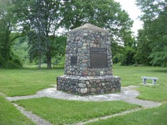
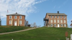
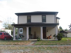
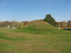
8 properties here are on the National Register of Historic Places, including 1 historic district, 3 houses and farms.
5 of the 8 listings were added during the 1970s.
The Geographic Names Information System records 89 populated places in this county; 0 are covered by at least one topographic sheet.
2 public-domain county histories, 1887 and 1897, supply 0 words of narrative reproduced here in full.
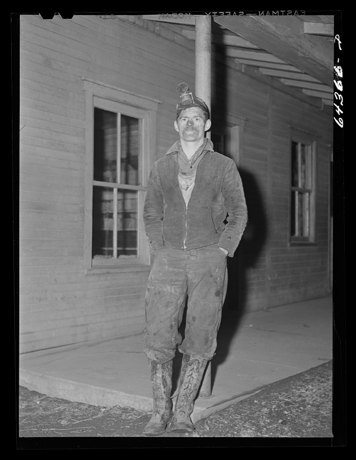
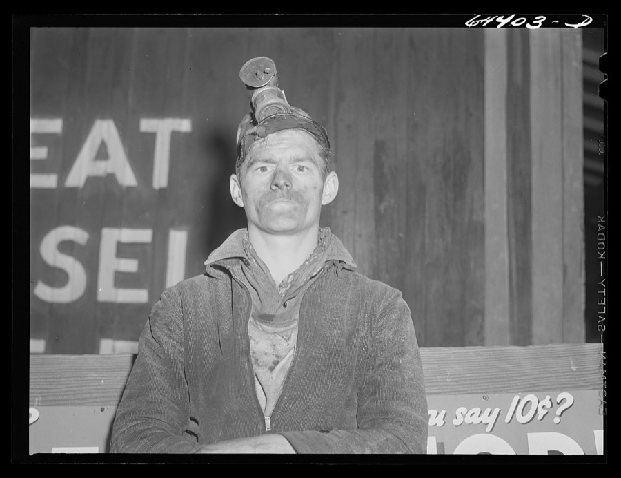
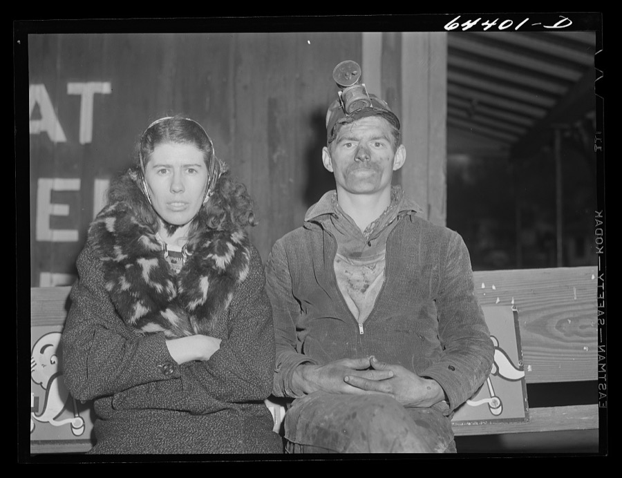
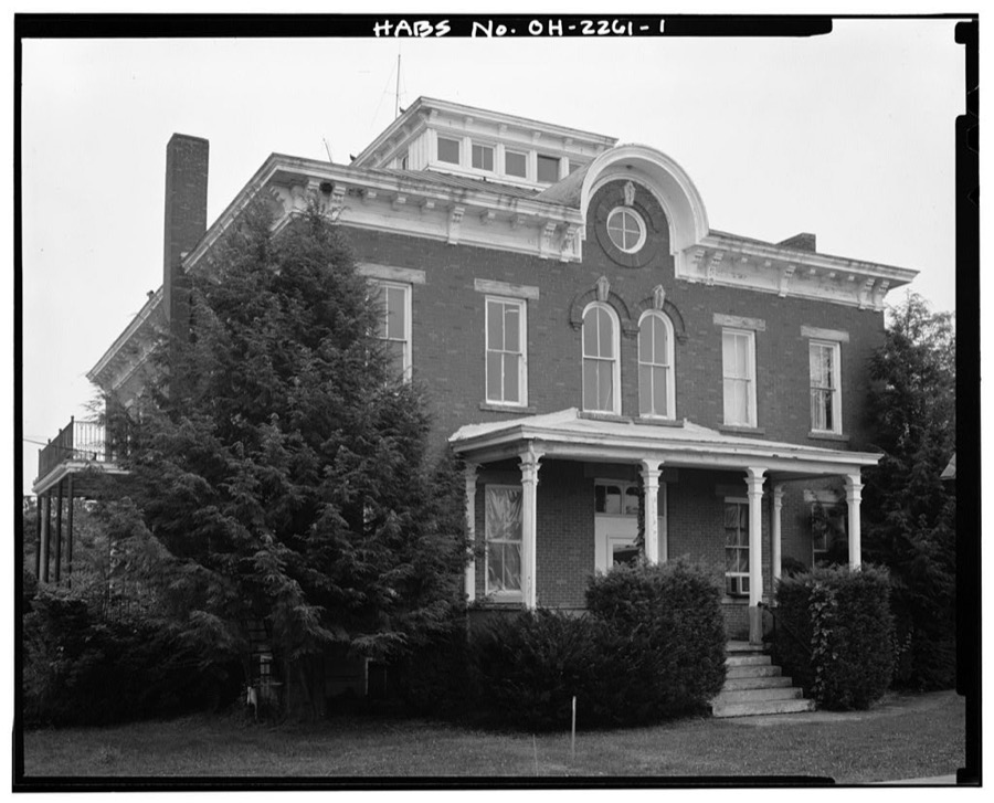
Photographs
5 photographs, 1942
Taken for the Office of War Information and
the Farm Security Administration, who photographed the country between
1935 and 1944. Works of United States government photographers, with no
known restriction on use. Each opens its catalogue record.
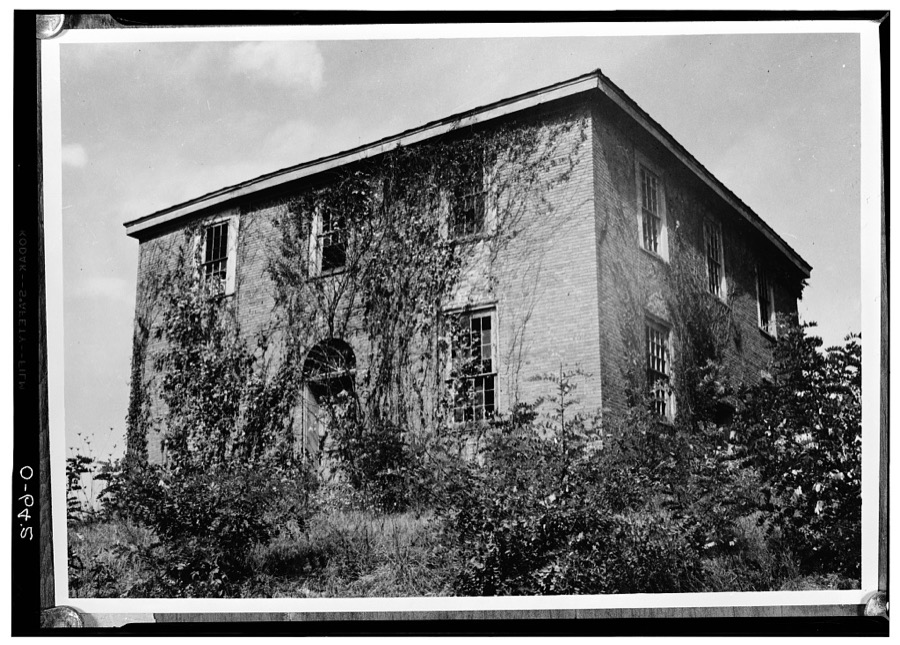
Pomeroy, Ohio. Coal miner Vachon, John, 1942. Library of CongressPomeroy, Ohio. Coal miner Vachon, John, 1942. Library of CongressPomeroy, Ohio. Coal miner and his wife Vachon, John, 1942. Library of CongressMeigs County Children's Home, Mulberry Road, Pomeroy, Meigs County, OH Unattributed, . Library of CongressOld Meigs County Courthouse, Chester, Meigs County, OH Unattributed, . Library of Congress
Places on the National Register
8
Every property in this county listed on the
National Register of Historic Places, with the year it was listed and the
federal nomination document.
Meigs County holds 0 covered bridges on
the National Register, more than any other property type here. Each is a listed
structure with a federal nomination on file.
Digitised newspapers
8 issues
Sampled issues, machine-read from the
Library of Congress scan and published page by page, so every headline
and column is searchable text.
Meigs County Telegraph
Pomeroy [Ohio], 1848 to 1859. Machine-read from the Library of Congress scan.
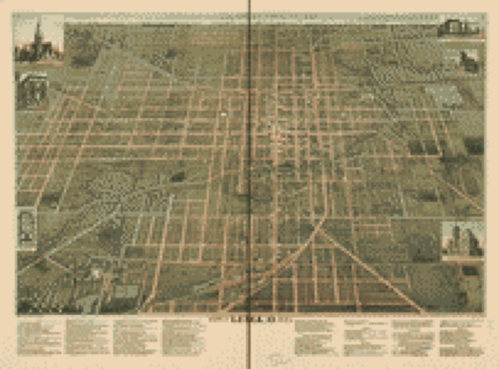
Drawn when these were printed as
single large sheets: the town seen from the air, and the county
divided into its farms with every owner named. Each opens the
original at the Library of Congress.
Bird's-eye view (1892) - City of Lima, O. 1892. Library of Congress.Land ownership map (1855) - Map of Gallia and Meigs County oil field. Library of Congress.
The county from the air
35 of 722 shown
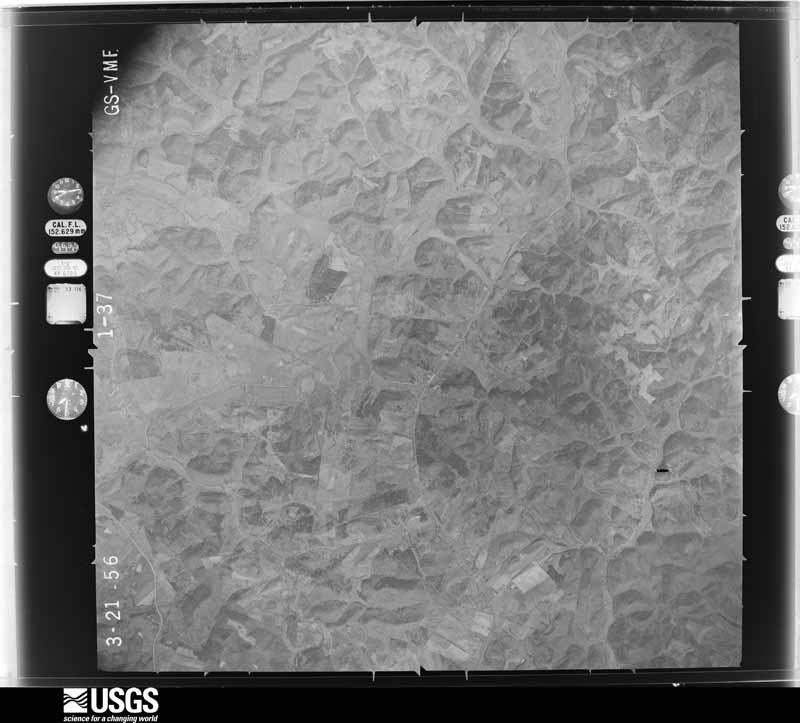
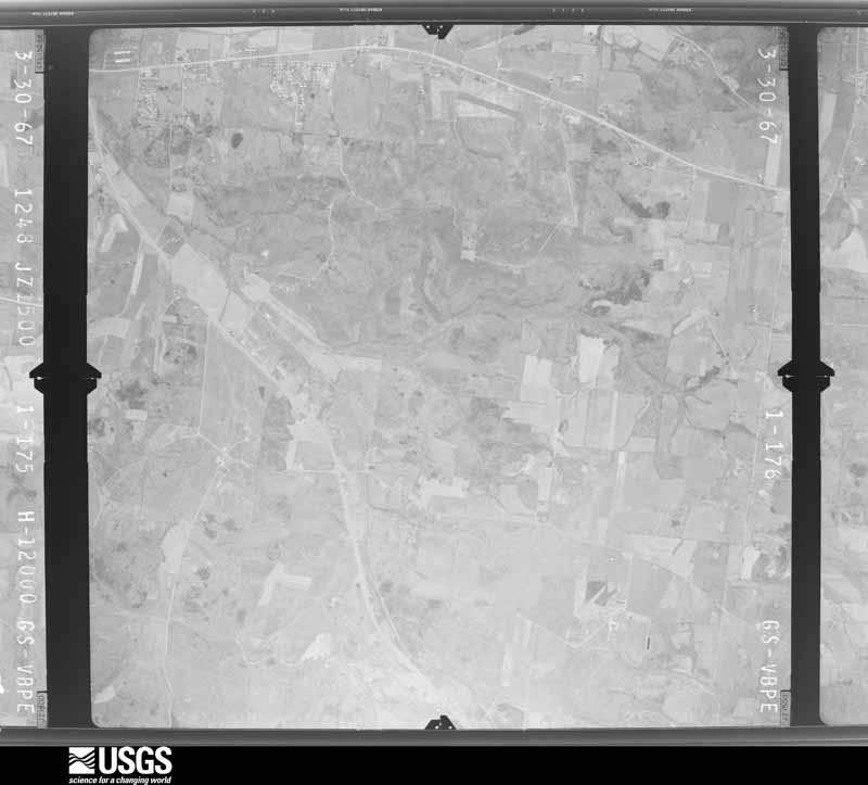
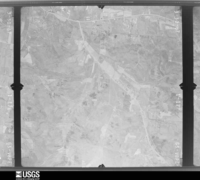
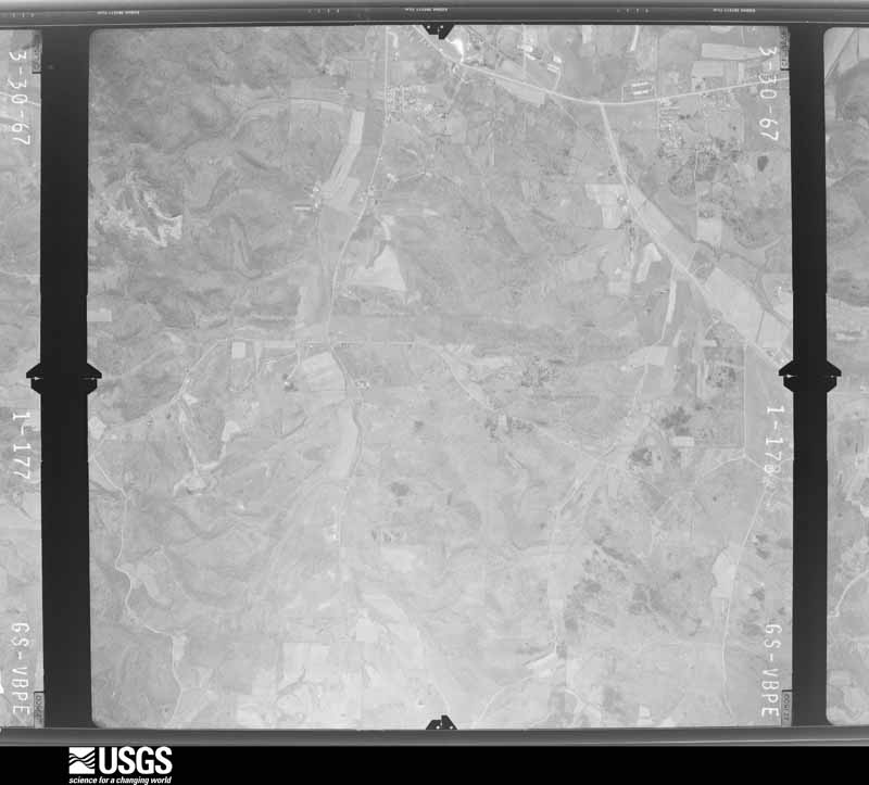
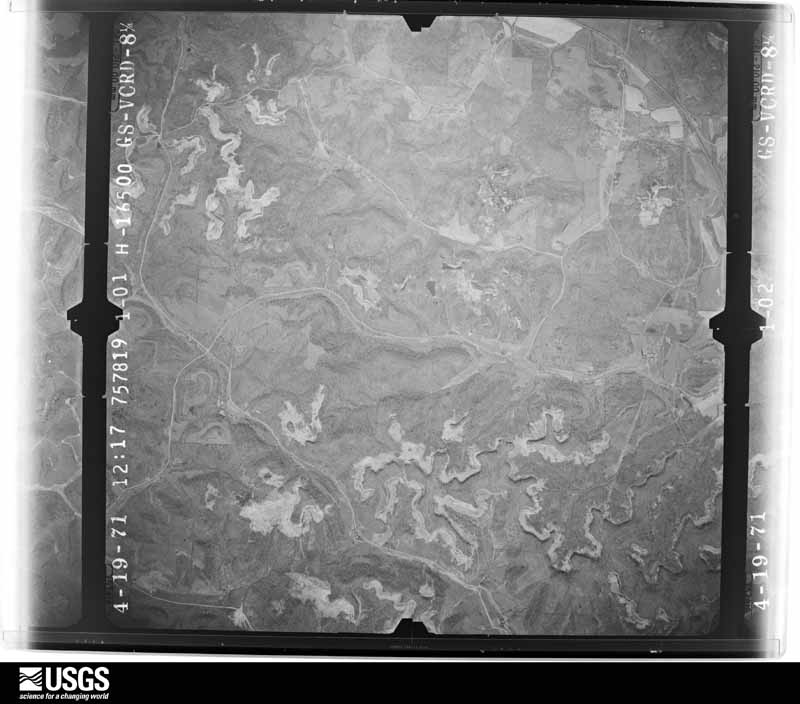
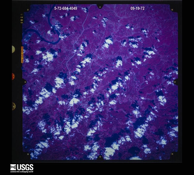
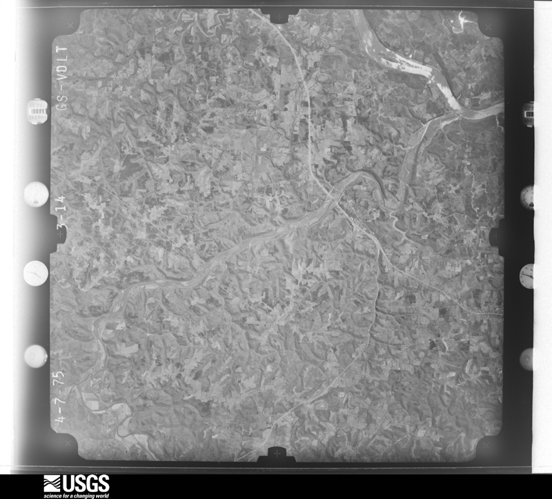
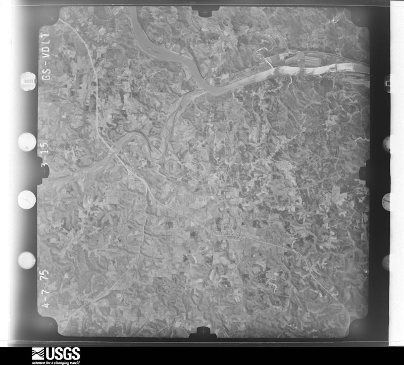
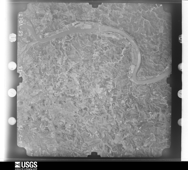
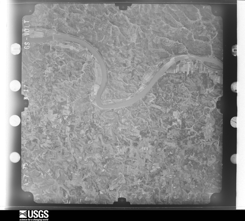
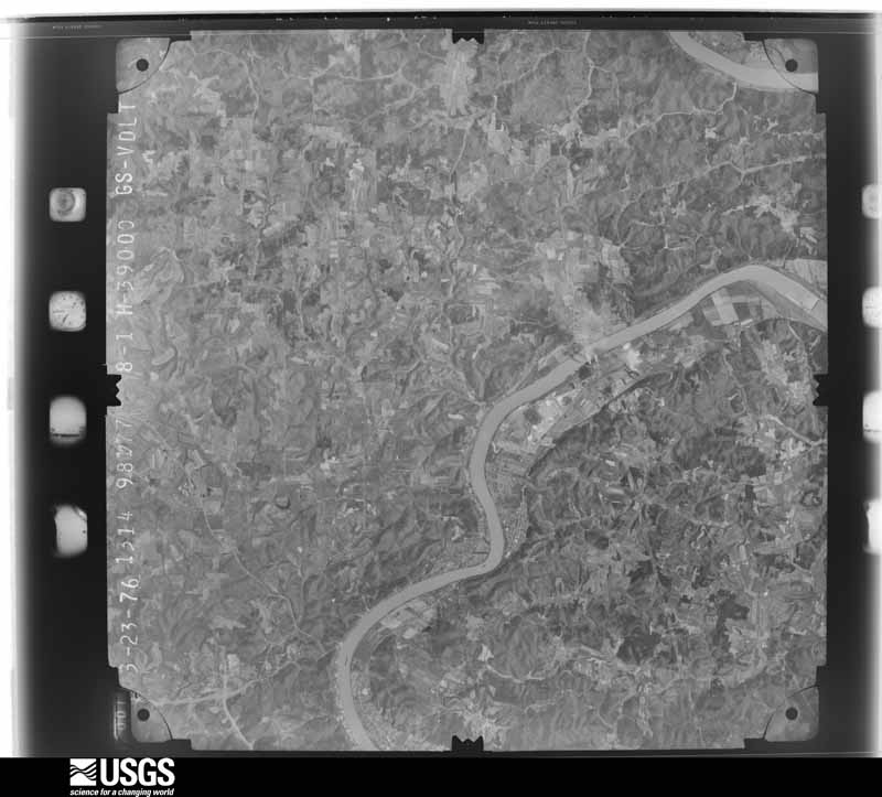
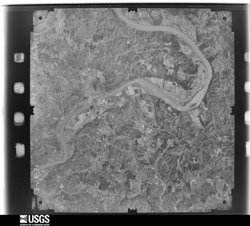
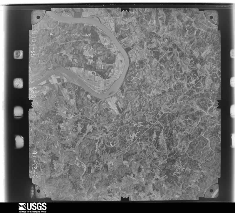
Flown by the U.S. Geological Survey
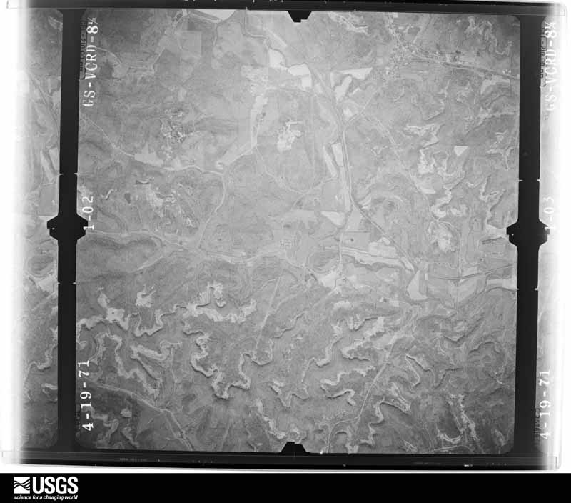
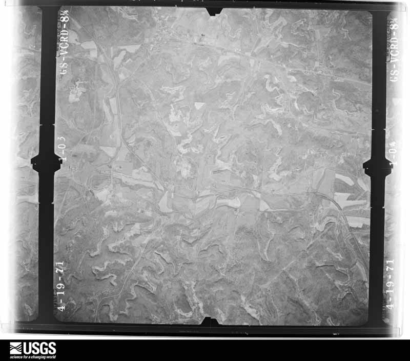
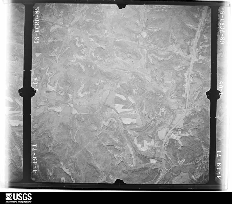
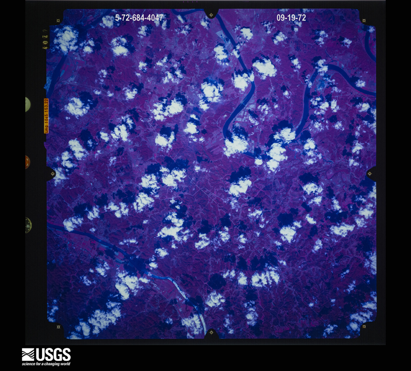
between 1937 and 1989, the Aerial Photo Single Frames collection is
the definitive mid-century view of the land: fields, roads and rivers
as the camera saw them. 722 frames touch this county; the
selection below spreads across the decades of flights (at most four
per year), so one flight cannot crowd out the rest. The full set is
free to browse and download at
EarthExplorer under the dataset Aerial Photo Single
Frames.
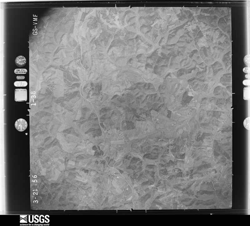
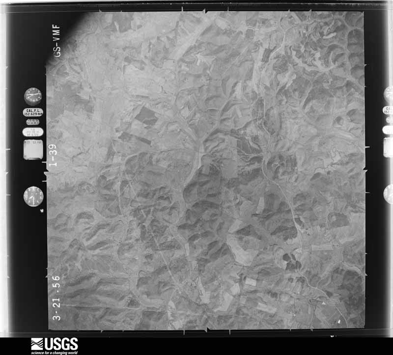
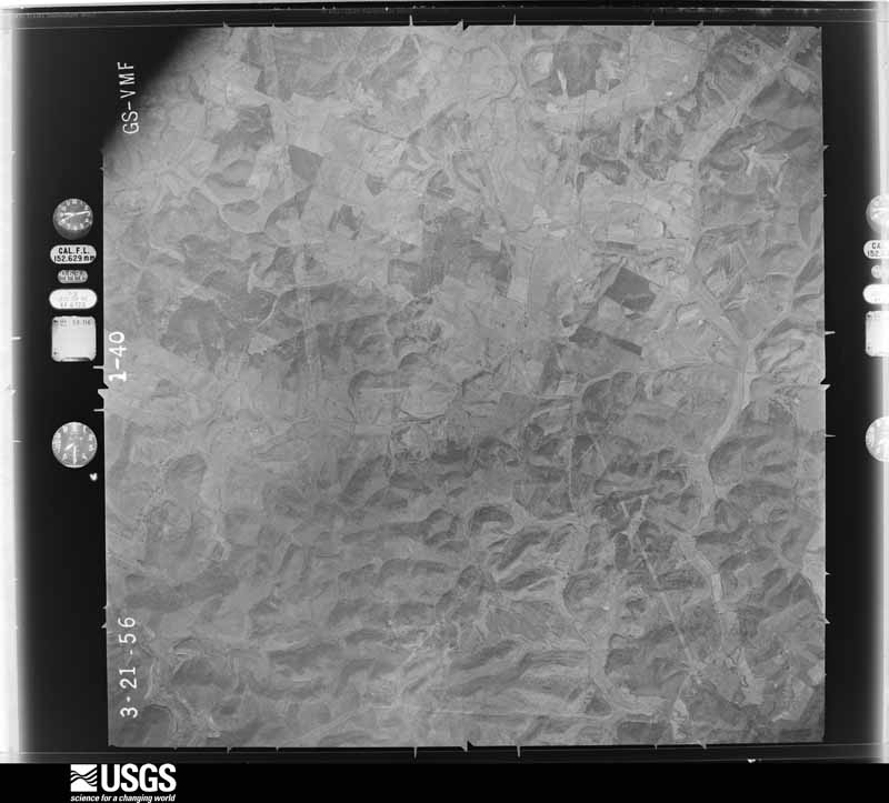
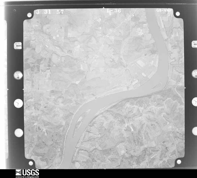
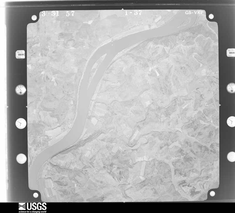
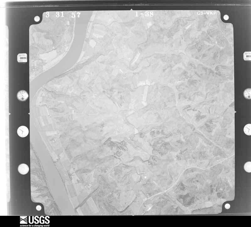
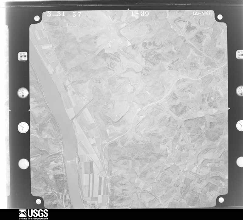
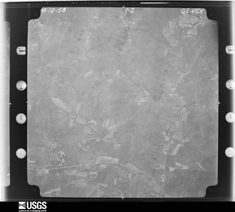
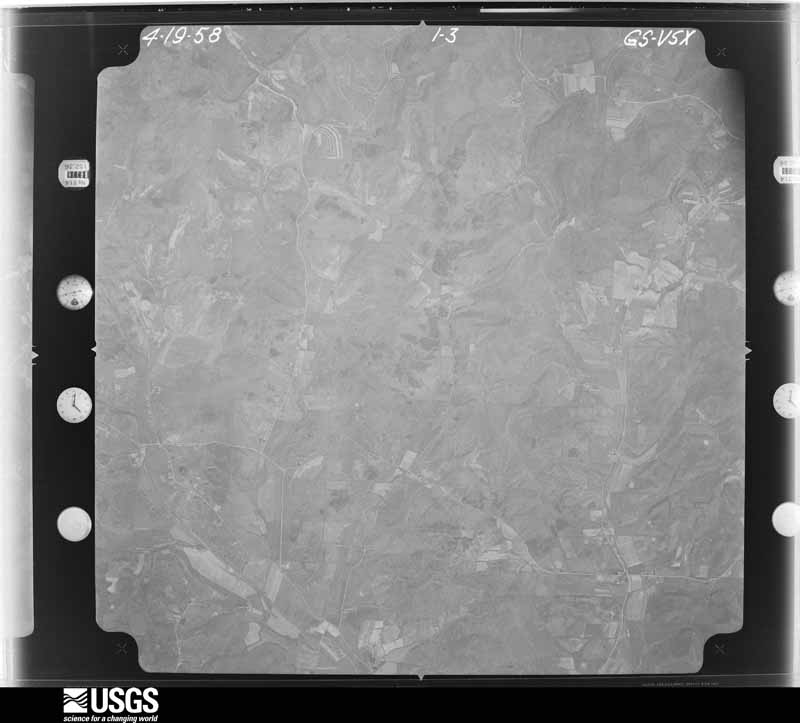
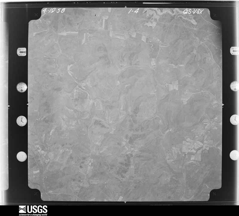
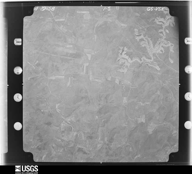
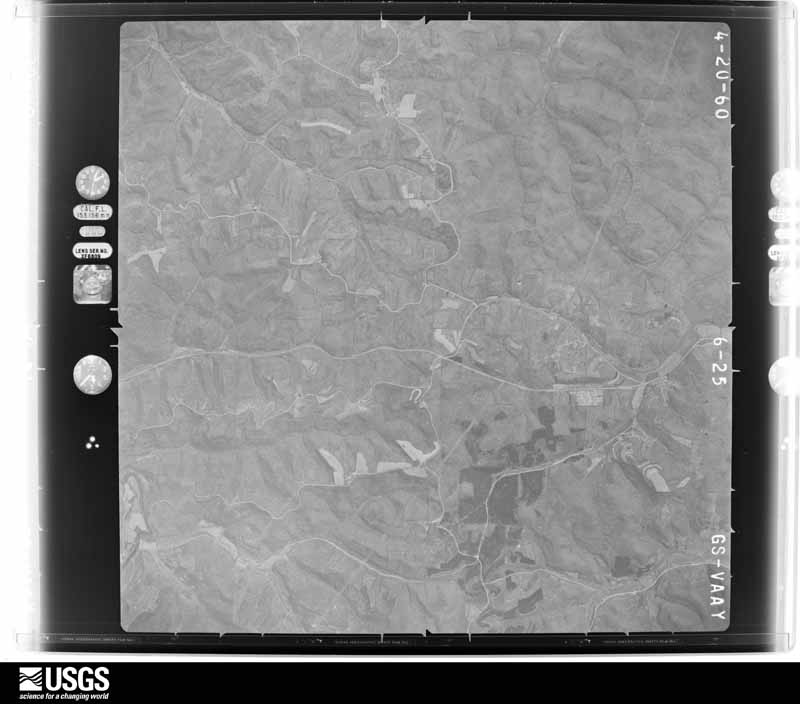
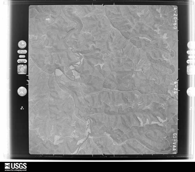
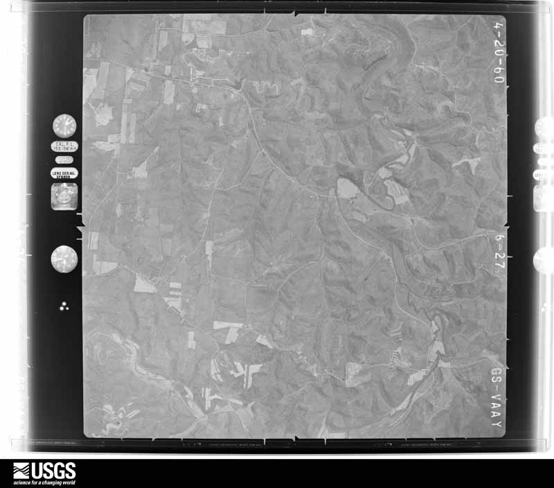
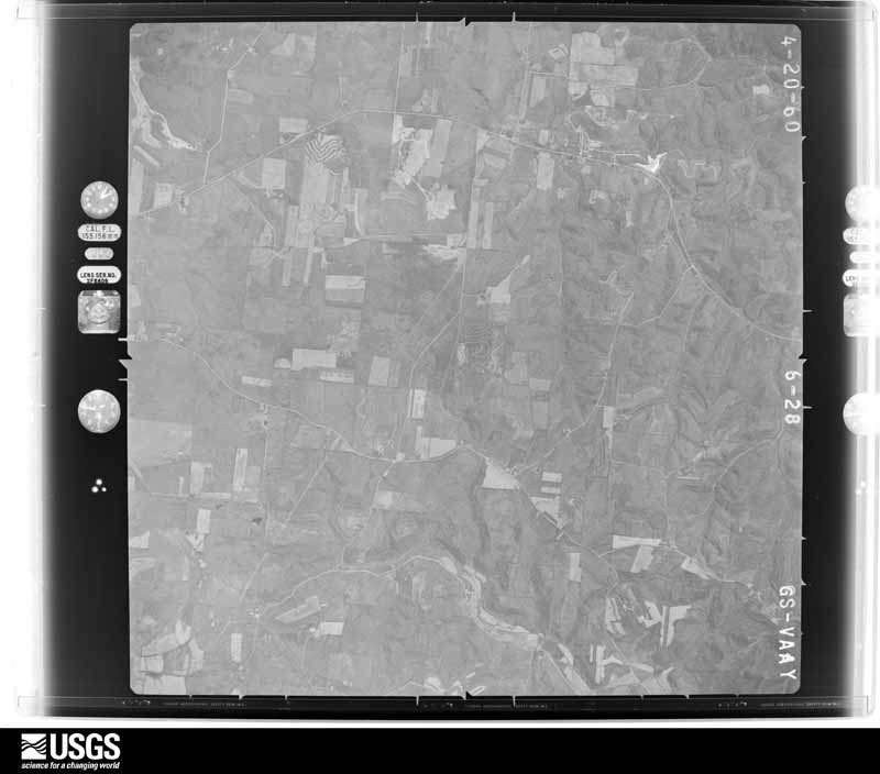
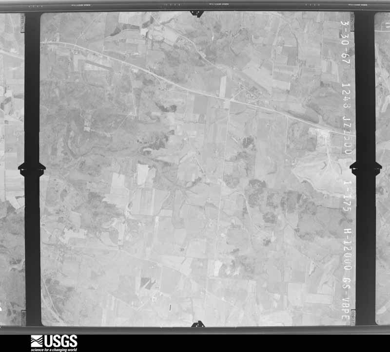
1956-03-21, scale 1:31000. U.S. Geological Survey aerial photograph.1956-03-21, scale 1:31000. U.S. Geological Survey aerial photograph.1956-03-21, scale 1:31000. U.S. Geological Survey aerial photograph.1956-03-21, scale 1:31000. U.S. Geological Survey aerial photograph.1957-04-11, scale 1:27000. U.S. Geological Survey aerial photograph.1957-04-11, scale 1:27000. U.S. Geological Survey aerial photograph.1957-04-11, scale 1:27000. U.S. Geological Survey aerial photograph.1957-04-11, scale 1:27000. U.S. Geological Survey aerial photograph.1959-02-25, scale 1:27000. U.S. Geological Survey aerial photograph.1959-02-25, scale 1:27000. U.S. Geological Survey aerial photograph.1959-02-25, scale 1:27000. U.S. Geological Survey aerial photograph.1959-02-25, scale 1:27000. U.S. Geological Survey aerial photograph.1960-04-22, scale 1:28000. U.S. Geological Survey aerial photograph.1960-04-22, scale 1:28000. U.S. Geological Survey aerial photograph.1960-04-22, scale 1:28000. U.S. Geological Survey aerial photograph.1960-04-22, scale 1:28000. U.S. Geological Survey aerial photograph.1967-03-30, scale 1:24000. U.S. Geological Survey aerial photograph.1967-03-30, scale 1:24000. U.S. Geological Survey aerial photograph.1967-03-30, scale 1:24000. U.S. Geological Survey aerial photograph.1967-03-30, scale 1:24000. U.S. Geological Survey aerial photograph.1971-04-19, scale 1:24000. U.S. Geological Survey aerial photograph.1971-04-19, scale 1:24000. U.S. Geological Survey aerial photograph.1971-04-19, scale 1:24000. U.S. Geological Survey aerial photograph.1971-04-19, scale 1:24000. U.S. Geological Survey aerial photograph.1972-09-19, scale 1:131000. U.S. Geological Survey aerial photograph.1972-09-19, scale 1:131000. U.S. Geological Survey aerial photograph.1972-09-19, scale 1:131000. U.S. Geological Survey aerial photograph.1972-09-19, scale 1:131000. U.S. Geological Survey aerial photograph.1975-04-07, scale 1:78000. U.S. Geological Survey aerial photograph.1975-04-07, scale 1:78000. U.S. Geological Survey aerial photograph.1975-04-07, scale 1:78000. U.S. Geological Survey aerial photograph.1975-04-07, scale 1:78000. U.S. Geological Survey aerial photograph.1976-03-23, scale 1:78000. U.S. Geological Survey aerial photograph.1976-03-23, scale 1:78000. U.S. Geological Survey aerial photograph.1976-03-23, scale 1:78000. U.S. Geological Survey aerial photograph.
City directories
6 volumes
The "who lived here, by year" answer:
pre-1929 public-domain directory volumes naming the county's people,
machine-read and searchable as text.
The thermometers that kept this
county's weather, and the gages that watched its rivers, as the
federal records hold them. The extremes below are measured values
from those records, not estimates.
POMEROY WTR WKS1893 to 1910, hottest 38.9 C, coldest -37.8 C
Who lived here in 1950, one enumeration
district at a time, as the Census Bureau described each district.
Each row opens its official National Archives result, with Population
Schedules and ED Maps available there.
53-1Bedford township: Bedford township - That part east of U.S. Hwy. 33
53-2Bedford township - That part west of U.S. Hwy. 33
53-3Chester township: Chester township - That part east of State Hwy. 7
53-4Chester township - That part west of State Hwy. 7
53-6Lebanon township: Lebanon township - That part north of unnamed road extended west from county line through Portland (unincorporated), west on unnamed road to section 19 and generally northwest through sections 19, 25, 26, and 32 to the west township line
53-7Lebanon township - That part south of unnamed road extended west from county line through Portland (unincorporated), west on unnamed road to section 19 and generally northwest through sections 19, 25, 26, and 32 to the west township line
53-9Olive township: Olive township - That part north of State Hwy. 680 and State Hwy. 680 extended through Reedsville (unincorporated) to the county line
53-10Olive township - That part south of State Hwy. 680 and State Hwy. 680 extended through Reedsville (unincorporated) to the county line
53-13Rutland township - That part north of State Hwy. 124, outside Rutland village
53-14Rutland township - That part south of State Hwy. 124, outside Rutland village
53-15Salem township: Salem township - That part north of State Hwy. 124
53-16Salem township - That part south of State Hwy. 124
53-17Salisbury township: Middleport village: Middleport village - That part comprising Ward 1 Bounded by Village limits; Village limits; Ward line, Coal, Fourth, Ward line; Mill
53-18Middleport village - That part comprising Ward 2 Bounded by Village limits, Mill, Ward line, Fourth, Coal, Ward line; Village limits; Ward line, Main, Seventh, Brownell Ave., Ward line; Village limits
53-19Middleport village - That part comprising Ward 3 Bounded by Ward line, Brownell Ave., Seventh, Main, Ward line; Village limits; Ward line, Hamilton, Ward line, Laurel, Hysell, Oliver, Grant, Ward line; Village limits
53-20Middleport village - That part comprising Ward 4 Bounded by Village limits, Ward line, Grant, Oliver, Hysell, Laurel, Ward line, Hamilton, Ward line; Village limits; Ward line, Custer, Ward line, Ash, State Hwy. 7; Village limits
53-21Middleport village - That part comprising Ward 5 Bounded by State Hwy. 7, Ash, Ward line, Custer, Ward line; Village limits; Village limits
53-22Pomeroy village: Pomeroy village - That part comprising Ward 1 Bounded by Village limits; Village limits; Village limits; Ward line
53-23Pomeroy village- That part comprising Ward 2 Bounded by Village limits; Village limits, Ward line; Village limits; Naylors Run
53-24Pomeroy village - That part of Ward 3 Bounded by Village limits; Naylors Run; Village limits; Butternut extended, Butternut, Brick, Lasley, Mulberry Ave., Sugar Run
53-25Pomeroy village - That part of Ward 3 Bounded by Village limits; Sugar Run, Mulberry Ave., Lasley, Brick, Butternut; Lincoln Hill; Village limits
53-26Pomeroy village - That part of Ward 3 Bounded by Lincoln Hill, Butternut, Butternut extended; Village limits; Ward line, Locust; Village limits
53-27Pomeroy village - That part comprising Ward 4 Bounded by Locust, Ward line; Village limits; Village limits; Village limits
53-28Salisbury township - That part east of State Hwy. 143 and north of State Hwy. 124, outside Pomeroy village
53-29Salisbury township - That part west of State Hwy. 143 and north of State Hwy. 124
53-30Salisbury township - That part south of State Hwy. 124, outside Middleport and Pomeroy villages
53-31Scipio township: Scipio township - That part east of State Hwys. 680, 684, and 143
53-32Scipio township - That part west of State Hwys. 680, 684, and 143
53-35Sutton township - That part north of the line from southeast corner of section 1, to the Ohio River
53-36Sutton township - That part south of the line from southeast corner of section 1, to the Ohio River, outside Racine and Syracuse villages
Businesses named in the atlases
51 businesses
Every Sanborn volume opens with a printed index
naming the town's mills, tanneries, hotels and works by proprietor. Those
indexes were read off the scanned sheets by machine and then matched to each
other, so a business surveyed four times appears here once, with the years it
survived. 17 of these 51 were named in more than one atlas. Each carries a
crop of the line it was read from: the spelling is the recogniser's and the
1880s lithographer's, and the scan behind it is the proof.
Every wildfire the federal occurrence
database records inside this county: 343 of them, burning about
761 acres. 0 started naturally and 42 were
recorded as arson. Each settlement page carries the fires within five
miles of it.
Reported cause
Fires
Debris and open burning
169
Missing data/not specified/undetermined
55
Arson/incendiarism
42
Equipment and vehicle use
33
Power generation/transmission/distribution
18
Misuse of fire by a minor
7
Smoking
6
Recreation and ceremony
5
Fireworks
4
Other causes
3
Railroad operations and maintenance
1
The five largest, by the area the report
gives. One of them was set deliberately.
Date
Cause
Size
Reported by
Name on the report
14 March 2014
Missing data/not specified/undetermined
50 acres
Ohio Department of Natural Resources
not named
15 March 2014
Missing data/not specified/undetermined
50 acres
Ohio Department of Natural Resources
not named
12 November 2020
Debris and open burning
36 acres
West Virginia Division of Forestry
MURRAYSVILLE SKID ROAD FIRE
1 February 1993
Equipment and vehicle use
26 acres
West Virginia Division of Forestry
WEEKLY RUN
31 March 2012
Debris and open burning
25 acres
Ohio Department of Natural Resources
not named
18 February 1997
Equipment and vehicle use
22 acres
West Virginia Division of Forestry
OLDTOWN ROAD
5 April 2016
Debris and open burning
20 acres
Ohio Department of Natural Resources
4266
2 October 2017
Arson/incendiarism
20 acres
Ohio Department of Natural Resources
8945
Every settlement page carries the fires within five
miles of it - see the settlement index below.
Storms, 1967 to
2026
60 of 274 shown
The
NOAA Storm Events Database holds
274 reports for this county, causing 2 deaths,
9 injuries and about $12,094,250 in recorded property damage.
Each settlement page carries the reports that name it.
Kind of event
Reports
Thunderstorm Wind
100
Flood
75
Hail
55
Flash Flood
33
Tornado
6
Heavy Rain
4
Lightning
1
The most serious of them, by death, then
injury, then recorded damage. The accounts are quoted exactly as the
forecast office filed them.
Multiple roads were closed due to high water across central and western Meigs County. This included State Route 681 along the West Branch of the Shade River and State Route 124 along Thomas Fork. Leading Creek also flooded, closing parts of Leading Creek Road and State Route 124. A 54 year old man drowned in the flood waters along Leading Creek around 6 PM on the 6th. The man drove his car into the high water and became stranded. He abandoned the car and tried to make it to dry land but was swept away by the water.
A new rotating supercell formed south of thunderstorm complex that caused the tornado and strong downburst in western Athens County. A new tornado formed. Significant structural damage to farm buildings and a few homes occurred along Eden Ridge Road. This road is also County Route 50. The tornado path then went across State Route 124 between community of Reedsville and Eden along the Ohio River. A majority of the mobile homes affected were in this vicinity. In addition, a well built single family home and its detached commercial grade garage were completely destroyed. The foundations of both structures were wiped clean. The EF3 damage included this area along State Route 124. Maximum wind gusts of 150 mph were estimated. The county reported 22 structures destroyed or having major damage, including mostly mobile and single family homes. However, one car repair shop was also included. Another 20 homes were affected or had minor damage. Around a dozen outbuildings were damaged or destroyed. One male received rib and leg fractures when his truck was flipped over while he was in it. A woman was injured when she was pinned in rubble from her mobile home. In the dark, her barking dog helped first responders find her faster. A total of 6 people were injured, 2 seriously. ||This tornado crossed the Ohio River and killed a man immediately on the other side of the river in southern Wood County of West Virginia.
The storm touched ground 2 miles southwest of Salem Center and passed over the town and lifted Dexter area. Roofs were torn off of two grain silos and a farmhouse was lifted off its foundation. A portion of the roof on an elementary school was torn off. A woman and two children hid in the bath tub of their mobile home before their home was destroyed. They received only minor injuries.
Scattered locations had trees blown down. Around 9,400 customers lost electricity. A total of 3 homes were destroyed, which included mobile homes. Major damage was sustained by 28 homes. Minor damage to roofs and porches occurred to 44 homes. Six businesses had minor wind damage. A lot of the damage in the county was concentrated in the villages along the river near Pomeroy. Public buildings at the county fair grounds near Pomeroy were damaged. Two barns were destroyed and 6 others had heavy damage. The public infrastructure damage assessment was around $445,000.||Ten citizens were evacuated in Meigs County and 21 were sheltered, mainly because of the heat and no electricity during the aftermath. Several cooling stations were open and free swimming was offered at the Syracuse pool. ||About a third of the corn and tomato crops were destroyed.
The gage at Belleville Lock on the Ohio River entered moderate flooding, cresting at almost 43.5 feet on the evening of the 18th. At Belleville, moderate flood stage is 38 feet. Flooding began at Belleville just after midnight on the 17th, and the river dropped back below flood in the pre-dawn hours of the 20th. This high water closed several sections of Route 124, as well as a portion of Route 248 near Sand Hill.||The Ohio River gage at Racine Lock rose above its flood stage of 41 feet early on the 17th. The river surpassed moderate flooding, and almost reached its major flood stage of 48 feet, during its crest of 47.7 feet just after midnight on the 19th. The river dropped back below flood stage around noon on the 20th. This cause flooding along Route 124 near Antiquity and Minersville.||At the Pomeroy staff gage, the Ohio River rose above its flood stage of 46 feet late around noon on the 17th. Major flooding occurred along this stretch of the river, where the staff gage read almost 50.5 feet during crest late on the 18th, topping major flood stage by half a foot. Water levels dropped back below flood stage around sunrise on the 20th. Water inundated much of Main Street in Pomeroy, including flooding businesses, side roads and parking lots and the amphitheater. A culvert under Main Street also collapsed.
An intermittent damage path, as the tornado mostly affected trees along hill tops. A house was damaged in Hanesville, when a large maple tree fell onto it. A carport and a barn were also destroyed at the same residence, In fact, the carport traveled some 75 yards before landing across the road. In Danville, pieces of wood were launched into the side of a bus garage building. A corn crib was leveled.
Estimated rains of 2 to 3 inches fell in less than 90 minutes. Thomas Fork flooded roads. Urban flooding occurred in Pomeroy and Middleport, with street and basement flooding.
A National Weather Service storm survey team found damage consistent with a EF-1 tornado near Langsville, OH. Multiple trees were snapped. A small shed was ripped from its foundation and blown several feet away. A porch was torn from a house, lifted over the house and deposited on the other side. The house also had some shingle damage. A large barn suffered significant damage. The metal roof was torn off and thrown up to 200 yards away. It appeared that two side walls of the barn collapsed after loss of the roof. Wind were estimated to be 100 mph.
The cooperative observer at Salem Center measured 3.88 inches. A spotter near Rutland reported 4 inches of rain. Streams flooded roads. Leading Creek flooded Routes 124 and 325 near Langsville.
Rains of 1.5 to 2 inches fell in 2 hours over wet ground, causing streams to flood in the western portion of the county. Some dwelling around Longsville and Rutland were affected by the high waters from Leading and Little Leading Creeks.
Small streams and the Shade River caused minor flooding. A few roads were closed. The Shade River crested at 17.28 feet on the gauge near Chester during the morning of the 23rd. Bankfull is 17 feet. The saturated ground caused a hill to slip on Butternut Drive in Pomeroy. This damaged a house.
At one point, county officials reported 90 percent of secondary roads were covered by some water. A few evacuations were required along Route 124 and Little Leading Creek in the vicinity of Rutland.
The NWS Survey team found damage consistent with an EF-0 tornado. The tornado touched down along Pomeroy Pike just to the southwest of Chester. One small tin shed was lifted from its foundation and destroyed. A tree fell onto a home causing slight damage. In addition, several trees were uprooted, and numerous tree limbs were snapped in the same area. Near the end of the path, along Lakewood Road, several additional trees were knocked down.
Along the Ohio River near Bowmans Run, a section of a roof was flipped off and tossed into some trees. Corrugated metal and gutters with some homes were damaged.
Rains of 2 to 3 inches fell over the course of 48 hours, from Wednesday night April 29th to Friday night May 1st. The last inch of rain fell Friday evening on the 1st. Leading Creek flooded and closed roads in the Dexter and Langsville vicinity. Little Leading Creek flooded Route 124 at Rutland. The West Branch of the Shade River flooded Route 33 around Burlingham. No dwellings were flooded.
Forest Run Road near Pomeroy became impassable due to significant amounts of water flowing onto the roadway. High water rose up to local homes that reside close to the road.
Several roads were closed on the evening of the 21st throughout the county due to flooding, including State Route 143, Peach Fork Road, Wolfpen Road, and Kinsbury Road.
The Ohio River at Pomeroy rose out of its 46 foot bankfull level on the evening of March 2nd. The river at this location crested at 46.70 feet on the 3rd and returned to its banks that evening. Pomeroy parking lots and the river amphitheater were flooded along the river. Main street in the town and some secondary roads became flooded due to backwater.
Minor small stream flooding occurred. Leading Creek flooded Route 124 near Langsville. Route 681 was flooded by the headwaters of the West Branch of the Shade River.
The Shade River near Chester rose out of its 17 foot bankfull level during the last final minutes of February 28th. The river crested at 21.49 feet on the first day of March and returned to its banks just before noon on the 2nd. The Sugar Run Creek Bridge and Shade River Bridge flooded and became impassable while the river was out of its banks.
The Ohio River at the Belleville Lock and Dam rose above its 35 foot flood stage on the evening of March 2nd. The river at this location crested at 35.58 feet and returned to its banks on the evening of March 3rd. Ohio State Route 124 was flooded in several places, including north of Stiversville Road, at Rock Run, at Wells Run to Smith Ridge to Dewitts Run, at Forked Run, at Curtis Hollow Road, and between the town of Long Bottom and Shade River.
Leading Creek flooded, closing State Route 124 between Route 7 and 325. State Route 773 was closed between Route 7 and 883 due to flooding on Forest Run and Kerr Run.||The Shade River also flooded. The river gage near Chester showed the river rose above its 17 foot bankfull level just before midnight on the 16th. The river crested just under 21 feet late on the 17th, and returned to its banks around noon on the 18th. This flooded the Sugar Run Creek Bridge.
The Ohio River at Racine Lock rose above its 41 foot flood stage during the early afternoon on March 2nd. The river crested at 42.74 feet on the morning of March 3rd and returned to its banks just after midnight on the 4th. Ohio Route 124 near Minersville and Antiquity flooded while the river was out of its banks.
The Shade River near Chester rose out of its 17 foot bankfull level on the morning of the 13th, cresting at 18.2 feet early on the 14th. The river then returned to its banks after daybreak on the 14th. While the river was risen, minor flooding of low lying areas occurred, particularly at the Sugar Run Creek Bridge and Shade River Bridge.
Multiple trees were blown down between Chester and Sumner. One fell on a power line.
Mines and
quarries
8 recorded
The Survey's mineral resources record
lists 8 workings inside this county. 5 still
produce and 3 are closed or unrecorded. Each settlement
page carries the workings within five miles of it.
Commodity
Workings
Sand and Gravel, Construction
8
The least common of them first, because a
county's hundredth gravel pit says nothing its first ten did not.
Museum specimens collected inside this
county and catalogued with a date and a place: 752 of them, by
kingdom 610 animalia, 88 plantae, 50 fungi, 4 chromista. Each is a physical object in a named collection, not a
sighting. Held by UMMZ, INHS, Ohio State University - Fish Division, Columbus, OH (OSUM), CM, BPI, MSU among others, and each settlement page carries
the specimens collected near it.
The oldest of them. A specimen proves
something was collected on that day; its absence proves nothing.
Named settlements recorded in the Geographic Names
Information System, each with the topographic sheets covering it. Villages,
hamlets and abandoned places alike. Each is shown with the watercourse or
landform it stands on and the survey quadrangle it falls on. The 2
places that were also surveyed for fire insurance come first, with the
number of atlases and photographs held for them.
The complete index, with nothing left out.
Each of these is a separate record with its own page: a federal survey
report, or the case file that argued a property on to the National
Register. Both are public domain and reproduced word for word.
Topographic sheets. USGS Historical Topographic Map Collection, county index, measured from the bulk metadata.
Fire insurance maps. Library of Congress Sanborn collection, faceted to this county.
Photographs. Each place queried individually against the Library of Congress Prints and Photographs search.
Wildfire. Short, Karen C. 2022. Spatial wildfire occurrence data for the United States, 1992-2020 [FPA_FOD_20221014]. 6th Edition. Fort Collins, CO: Forest Service Research Data Archive. https://doi.org/10.2737/RDS-2013-0009.6 Collected with United States Government funding and usable without additional permissions or fees.
Specimens. Global Biodiversity Information Facility (GBIF), https://www.gbif.org/. Only records licensed CC0 or CC BY are used. Records licensed CC BY-NC are excluded because this site carries advertising. Images are checked individually and any whose licence is non-commercial, no-derivatives or unreadable is refused.
Mines and quarries. USGS Mineral Resources Data System (MRDS) https://mrdata.usgs.gov/mrds/ A work of the United States government, no copyright under 17 U.S.C. 105.
Storms. NOAA National Centers for Environmental Information, Storm Events Database https://www.ncei.noaa.gov/stormevents/ A work of the United States government, no copyright under 17 U.S.C. 105. Narratives are quoted verbatim from the National Weather Service report and are not edited or summarised.
 Block
Block