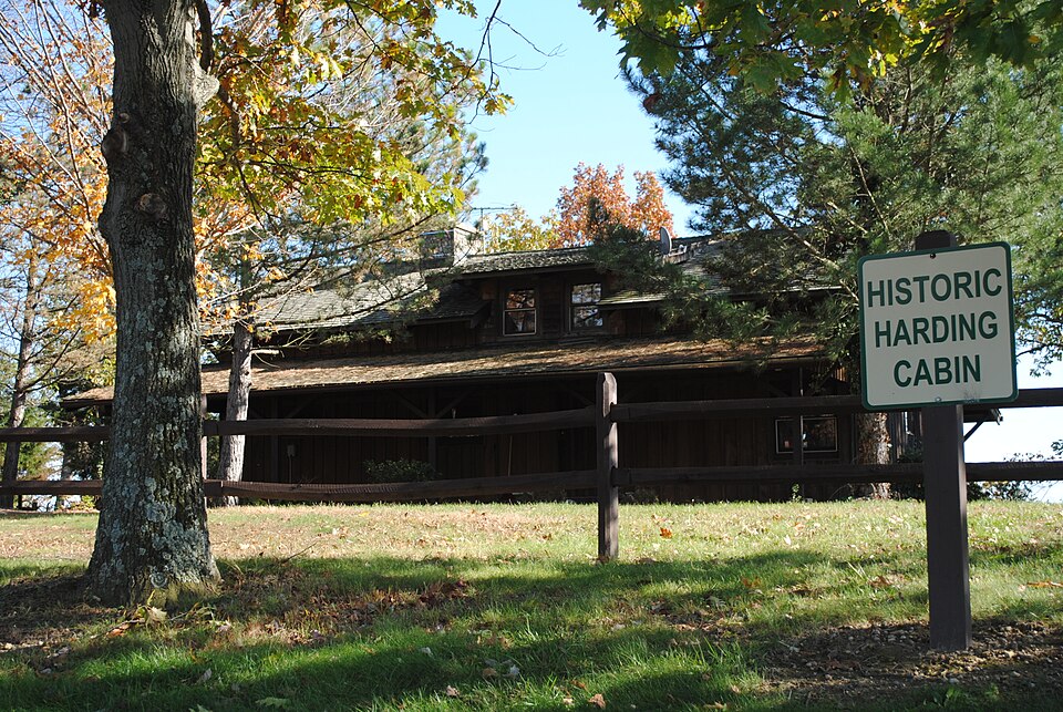
Listed on the National Register of Historic Places in
1974. A historic map-sheet match is not published yet. The record needs a coordinate-quality review before it can be joined to a sheet boundary.
From the record
one of 20 National Register listings in Pickaway County · listed in 1974 · category: Building.
National Register reference number.74001596- the number the National Park Service assigned this property when it was listed, and the key its nomination file is catalogued under at the National Archives.
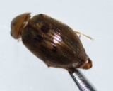
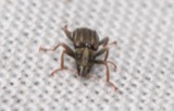
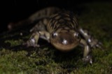
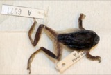
Specimens collected near this property
12 of 721 shown
Regional context, not property-specific
evidence. Museums hold 721 specimens
collected within 10 miles of Shack, The between 1898 and
1975: 698 Animalia, 23 Plantae. 12 distinct Species records are shown.
Collected by Abbott, R; and others, Abbott, R; vonder Heyden, Jonna, Bartley, F. and others. Each is a
physical object with a catalogue
number, and each entry opens the museum's record. This is what was
collected and kept, not a survey of what lives here - nothing can be
concluded from a species being absent.
Regional context, not property-specific
evidence. The federal mineral resources record lists
1 working within 5 miles of Shack, The: 1 producer.
All of them still produce. What was taken out: Stone, Crushed/Broken. Distance is straight-line from the
map coordinates, so a quarry counted here may appear on a neighbouring
settlement's page as well.
Regional context, not property-specific
evidence. The National Weather Service names
Williamsport, the town this property stands in, in 12 storm reports between 1994 and 2026: 7 thunderstorm wind, 4 hail, 1 flood.
No death or injury is recorded in these reports. Each account below is quoted exactly as the forecast office
filed it, from the NOAA Storm Events Database, and each date
opens the federal record of that event.
No historic map-sheet match is published
for this property yet. That does not mean no map exists. This record needs
a coordinate-quality review before it can be joined to a sheet boundary.
Browse the county's mapped places while that work is
pending.
From the nomination file
2,608 words on record
When this property was proposed for the
National Register, someone wrote the case for it: what the building is,
and why it matters. That document is a federal record in the public domain.
It is quoted below word for word, never summarised. The text was read off the scanned case file by machine, so the
occasional stray character is the recogniser's and the 1970s
typewriter's.
Description of the property
double installation upstairs. There are entries at the front, rear, and or APR 2 2 1986 shingles. CONDITION REGISTER NATIONAL Excellent Fair for overnight lodging accommodations and the interior is being altered for are three wood casement windows downstairs and two in the dormer upstairs. creosote inside and out.The interior consists of a living room and this purpose. is built of rough hew Oak and native Chestnut.The wood is stained with the 50 foot long perched deck on the back of the house which overlooks The exterior of the house has board and batten siding except for the The Ohio Department of Natural Resources (DNR),which has the house living room features a large fireplace made of round river rocks. Deer Creek Lake.
Each end of the house has four wood casement windows;two downstairs anda kitchen on the first floor and three bedrooms and a bath upstairs.The (Check One) "The Shack"is a 1-l/2 story frame house located on Tick Ridge on the X Original Site under lease, is presently restoring it. The exterior is being restored to shed roofs of a lesser pitch. A dormer which faces the front of the house Moved RECEIVED right end and lower left end which has wood shingles.At the front, there has a roof that parallels the porch roof.All roofs are of composition
Statement of significance
for their personal relaxation and peace of mind. Invention generative effect upon and use by Harry Daugherty,"The Shack" is repre- Daugherty's Pickaway County retreat,"The Shack,"was built in 1918 and Political Art known as a Republican political operative, from 1889 into the Coolidge losophy that Harding himself visited Daugherty here upon occasion.In its re- Warren G.Harding in the presidential campaign of 1920,and as Attorney 1865-1920, Columbus: Ohio State University Press, 1970. unpublished Ph.D. dissertation, Ohio State University, Murray, Robert K., The Harding Era, Minneapolis: University of Minnesota Press, 1969. Russel1, Francis, The Shadow of Blooming Grove, New York: 10
Quoted from the National Register nomination
for reference 74001596, 18 pages, held by the National Archives in Record
Group 79. See the
catalogue record.
Listing record. National Park Service National Register of Historic Places, listed-properties dataset, current to 2026-05-22.
Map join. Address geocoded through the United States Census geocoder, then tested against the published boundary of every sheet in the USGS Historical Topographic Map Collection.
How this page is made. Listing fields come from federal records; map-sheet coverage is a labelled coordinate-to-boundary calculation, not a source-field claim.
Specimens. Global Biodiversity Information Facility (GBIF), https://www.gbif.org/. Only records licensed CC0 or CC BY are used. Records licensed CC BY-NC are excluded because this site carries advertising. Images are checked individually and any whose licence is non-commercial, no-derivatives or unreadable is refused.
Mines and quarries. USGS Mineral Resources Data System (MRDS) https://mrdata.usgs.gov/mrds/ A work of the United States government, no copyright under 17 U.S.C. 105.
Storms. NOAA National Centers for Environmental Information, Storm Events Database https://www.ncei.noaa.gov/stormevents/ A work of the United States government, no copyright under 17 U.S.C. 105. Narratives are quoted verbatim from the National Weather Service report and are not edited or summarised.
 Block
Block