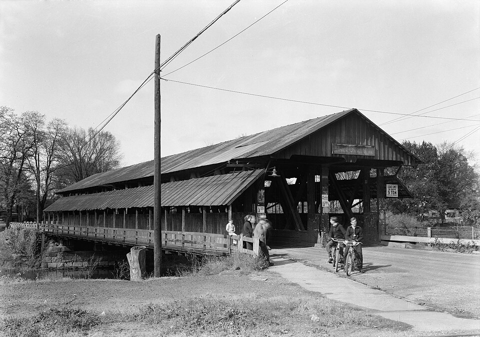
Built in 1856. Listed on the National Register of Historic Places in
1974. A historic map-sheet match is not published yet. The record needs a coordinate-quality review before it can be joined to a sheet boundary.
From the record
“The Newton Falls Covered Bridge, in Newton Falls, Ohio, was built around 1831. It was listed on the National Register of Historic Places in 1974.”
Wikipedia article Newton Falls Covered Bridge, CC BY-SA 4.0.
one of 32 National Register listings in Trumbull County · listed in 1974 · category: Structure · built in 1856 · one of 1 National Historic Landmarks in Trumbull County.
National Register reference number.74001636- the number the National Park Service assigned this property when it was listed, and the key its nomination file is catalogued under at the National Archives.
Regional context, not property-specific
evidence. The
federal wildfire occurrence database
lists 2 fires within 5 miles of Newton Falls Covered Bridge between
2019 and 2019, burning about 1 acres in total. None started naturally. None was recorded as arson.
Distance is straight-line from the map coordinates, so a fire counted
here may appear on a neighbouring settlement's page as well.
Reported cause
Fires
Missing data/not specified/undetermined
1
Debris and open burning
1
The most recent of
them, most recent first, with the day each was reported and the service
that recorded it.
Regional context, not property-specific
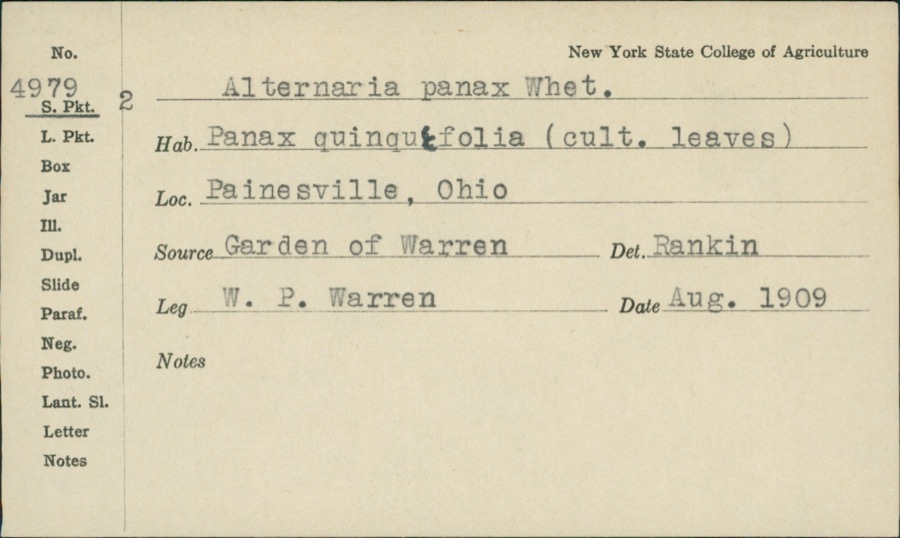
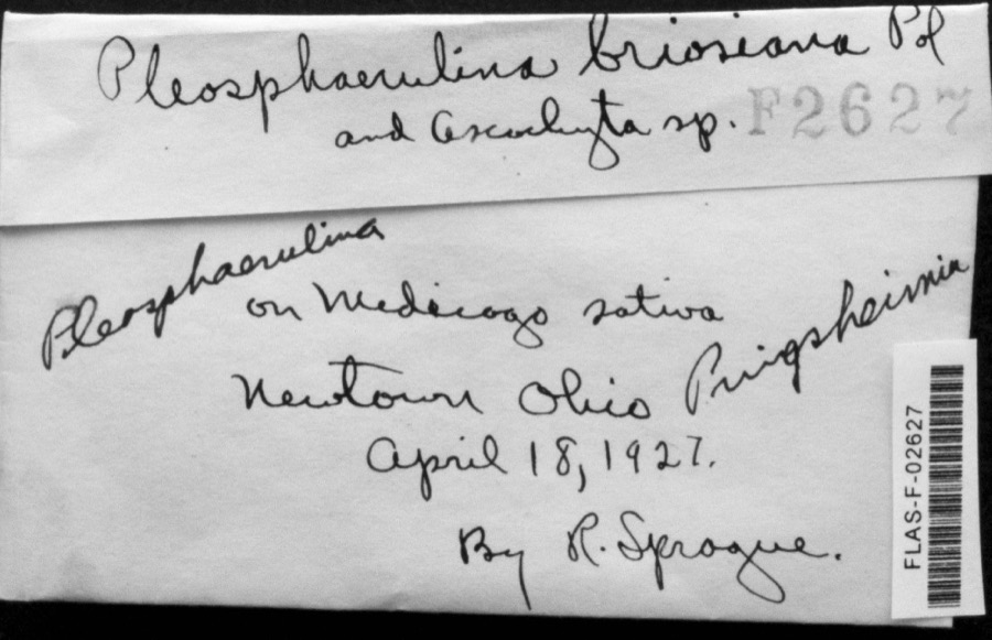
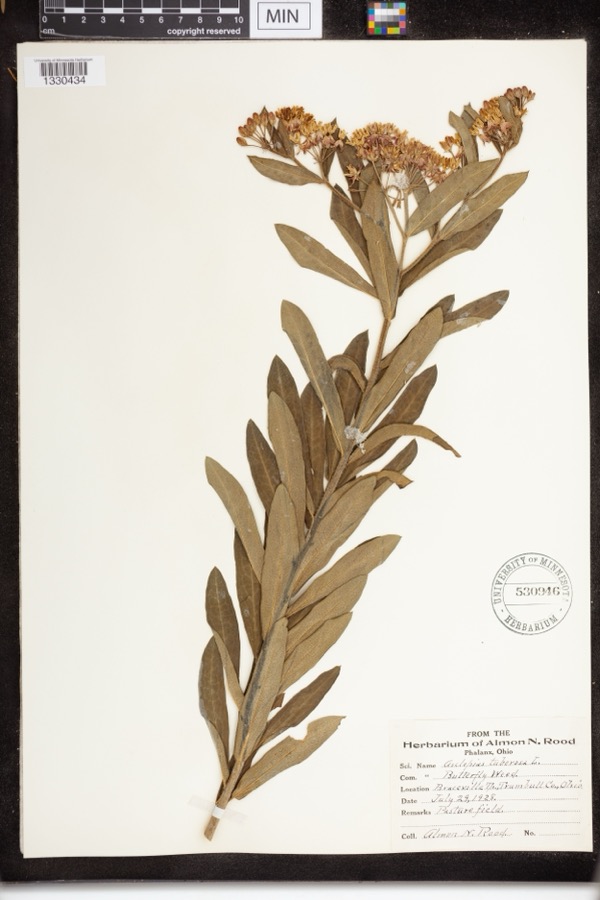
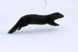
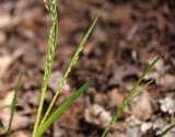
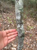
evidence. Museums hold 144 specimens
collected within 10 miles of Newton Falls Covered Bridge between 1890 and
1973: 107 Animalia, 35 Plantae, 2 Fungi. 12 distinct Species records are shown.
Collected by A. N. Rood, Almon N. Rood, Armbruster, D. C. (Daniel C.) and others. Each is a
physical object with a catalogue
number, and each entry opens the museum's record. This is what was
collected and kept, not a survey of what lives here - nothing can be
concluded from a species being absent.
Regional context, not property-specific
evidence. The National Weather Service names
Newton Falls, the town this property stands in, in 36 storm reports between 1995 and 2023: 19 thunderstorm wind, 14 hail, 3 flash flood.
No death or injury is recorded in these reports. Each account below is quoted exactly as the forecast office
filed it, from the NOAA Storm Events Database, and each date
opens the federal record of that event.
The flash flooding on August 8th put most of the Newton Falls Community Park under water along with several homes and businesses. State Route 534 along with several other roads were closed including Crossroads with Warren Ravenna Road, Taft Avenue and Wilson Avenue, had water standing as high as the mailbox of one residence. The storm sewer systems were overwhelmed causing backups into hundreds of homes and businesses' basements.
Heavy rainfall estimated around 3 inches fell over southern Trumbull County. This resulted in widespread flooding as the ground had been wet from recent rain. The Eagle Creek in Braceville came out of banks and flooded most low lying roads and a few homes on Barcley Messerly Road. A few water rescues were needed for motorists in Braceville and Newton Falls. Crossroads in Newton Falls at Warren Ravenna Road, Taft Avenue and Wilson Avenue, had water standing as high as the mailbox of one residence. Dozens of basements were inundated in the two towns.
An isolated thunderstorm produced flash flooding in Trumbull County with multiple roads closed primarily in Newton Falls. East Jay Street and Franklin Street in Newton Falls were under water with water up to car doors around 2:45pm EDT. Heavy localized rainfall estimated at 2.75 inches fell with rainfall rates peaked at 5/hr at 2:30 PM.
No historic map-sheet match is published
for this property yet. That does not mean no map exists. This record needs
a coordinate-quality review before it can be joined to a sheet boundary.
Browse the county's mapped places while that work is
pending.
Named in the fire insurance atlases
Sanborn surveyors printed an index of the
town's establishments at the front of each atlas. This property is named in
one, read straight off the scanned sheet.
When this property was proposed for the
National Register, someone wrote the case for it: what the building is,
and why it matters. That document is a federal record in the public domain.
It is quoted below word for word, never summarised. The text was read off the scanned case file by machine, so the
occasional stray character is the recogniser's and the 1970s
typewriter's.
Statement of significance
this fine old landmark which was built in 1831, making it the second 1s a further testimonial to the strength and durability of the Town JUL I 7 1974 truss. Commerce Conservation Architecture Aboriginal REGISTER SIGNIFICANCE Theater NATIONAL itarian Education Music Industry RECEIVED Landscape Trumbull County.
Agriculture Sculpture Communications Social/Human- The citizens of Newton Falls and Trumbull County are justly proud of standing example of the Town truss, one of the earliest American Ohio.This l43 year old structure still carries heavy traffic which a sidewalk.This fine old bridge is also the last covered bridge in Invention The Newton Falls Bridge is unusual in that it is one of the few SPECIFIC DATE(S) (If Applicable and Known) Art 1831 oldest covered bridge in Ohio.The Newton Falls Bridge is an out- bridge trusses.There are only ll Town lattice truss bridges left in "village" bridges remaining in Ohio and our only covered bridge with Press, 1970, p. 31. Company, 1969, p. 142. Falls", 1973.
DEFINING A RECTANGLE LOCATING THE PROPERTY DEFINING THE LENTER POINI OF A PHOPERTY OF LESS THAN TEN ACRES W 80° JUL 1 71974
Quoted from the National Register nomination
for reference 74001636, 11 pages, held by the National Archives in Record
Group 79. See the
catalogue record.
Listed places nearby
3 within 8 miles
Other National Register properties close
enough to walk or drive between, ordered by distance from this one. Both
positions come from the same geocoding pass that matched these properties
to their map sheets.
Listing record. National Park Service National Register of Historic Places, listed-properties dataset, current to 2026-05-22.
Map join. Address geocoded through the United States Census geocoder, then tested against the published boundary of every sheet in the USGS Historical Topographic Map Collection.
How this page is made. Listing fields come from federal records; map-sheet coverage is a labelled coordinate-to-boundary calculation, not a source-field claim.
Wildfire. Short, Karen C. 2022. Spatial wildfire occurrence data for the United States, 1992-2020 [FPA_FOD_20221014]. 6th Edition. Fort Collins, CO: Forest Service Research Data Archive. https://doi.org/10.2737/RDS-2013-0009.6 Collected with United States Government funding and usable without additional permissions or fees.
Specimens. Global Biodiversity Information Facility (GBIF), https://www.gbif.org/. Only records licensed CC0 or CC BY are used. Records licensed CC BY-NC are excluded because this site carries advertising. Images are checked individually and any whose licence is non-commercial, no-derivatives or unreadable is refused.
Storms. NOAA National Centers for Environmental Information, Storm Events Database https://www.ncei.noaa.gov/stormevents/ A work of the United States government, no copyright under 17 U.S.C. 105. Narratives are quoted verbatim from the National Weather Service report and are not edited or summarised.
 Block
Block