Listed on the National Register of Historic Places in
1974. A historic map-sheet match is not published yet. The record needs a coordinate-quality review before it can be joined to a sheet boundary.
From the record
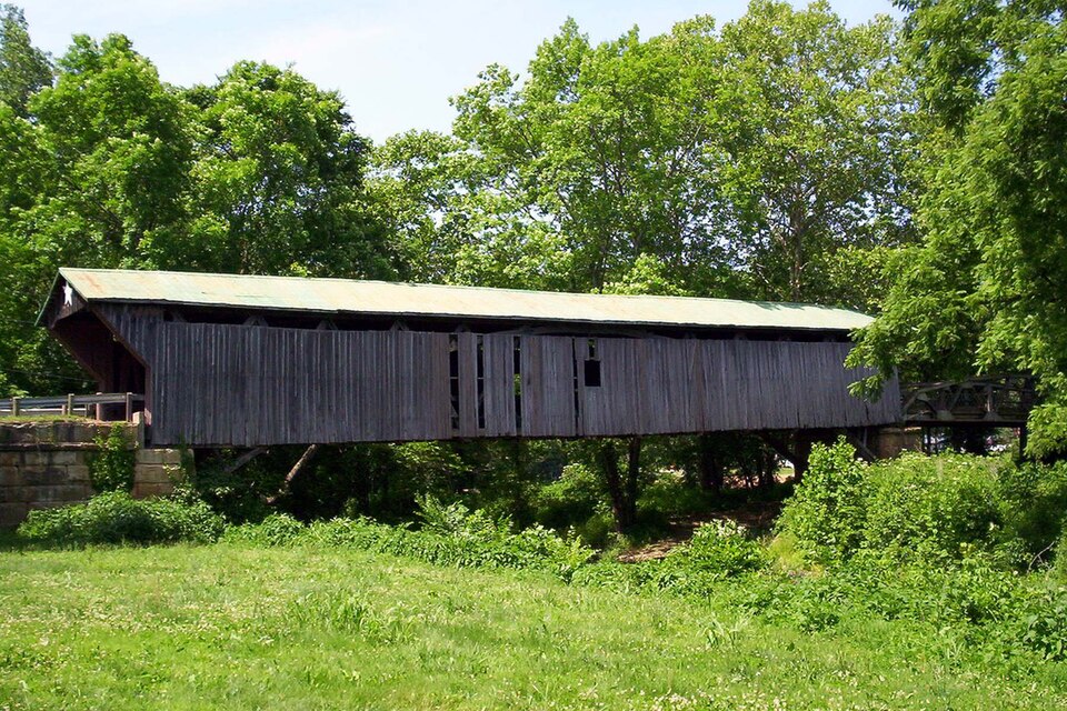
“The Otway Covered Bridge, in Scioto County, Ohio north of Ohio State Route 348 in Otway, was built in 1874 by the Smith Bridge Co. of Toledo, Ohio. It was listed on the National Register of Historic Places in 1974.”
Wikipedia article Otway Covered Bridge, CC BY-SA 4.0.
one of 36 National Register listings in Scioto County · listed in 1974 · category: Site.
National Register reference number.74002280- the number the National Park Service assigned this property when it was listed, and the key its nomination file is catalogued under at the National Archives.
Fires near this property
46 since 2003
Regional context, not property-specific
evidence. The
federal wildfire occurrence database
lists 46 fires within 5 miles of Otway Covered Bridge between
2003 and 2020, burning about 1,259 acres in total. None started naturally. 5 were recorded as arson.
Distance is straight-line from the map coordinates, so a fire counted
here may appear on a neighbouring settlement's page as well.
Reported cause
Fires
Debris and open burning
20
Missing data/not specified/undetermined
14
Arson/incendiarism
5
Equipment and vehicle use
3
Power generation/transmission/distribution
3
Smoking
1
The most recent of
them, most recent first, with the day each was reported and the service
that recorded it.
Regional context, not property-specific
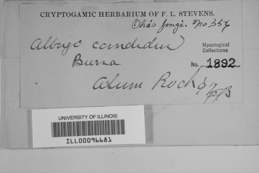
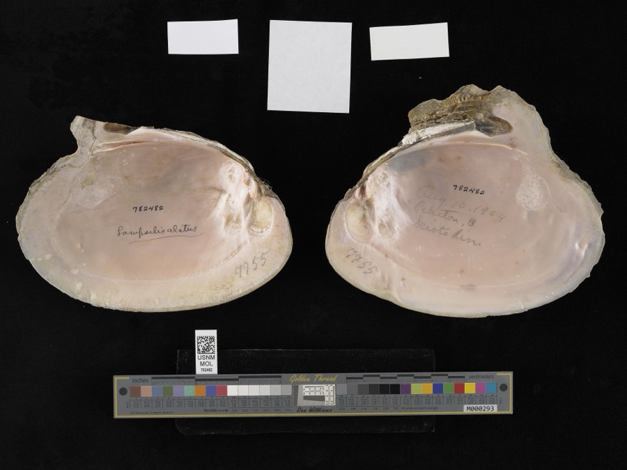
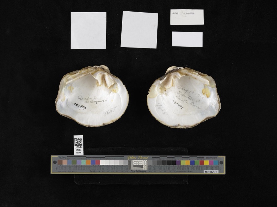
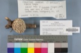
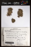
evidence. Museums hold 1,094 specimens
collected within 10 miles of Otway Covered Bridge between 1893 and
1975: 913 Animalia, 129 Fungi, 49 Plantae, 2 Protozoa, 1 Chromista. 12 distinct Species records are shown.
Collected by A. Braun, Braun, E. Lucy, Bryant, J. and others. Each is a
physical object with a catalogue
number, and each entry opens the museum's record. This is what was
collected and kept, not a survey of what lives here - nothing can be
concluded from a species being absent.
Regional context, not property-specific
evidence. The federal mineral resources record lists
1 working within 5 miles of Otway Covered Bridge: 1 producer.
All of them still produce. What was taken out: Flagstone. Distance is straight-line from the
map coordinates, so a quarry counted here may appear on a neighbouring
settlement's page as well.
Regional context, not property-specific
evidence. The National Weather Service names
Otway, the town this property stands in, in 30 storm reports between 1995 and 2025: 16 thunderstorm wind, 5 flood, 4 flash flood, 3 hail.
No death or injury is recorded in these reports. Each account below is quoted exactly as the forecast office
filed it, from the NOAA Storm Events Database, and each date
opens the federal record of that event.
The tornado touched down along Rocky Fork Road, about 2 miles southwest of Otway. The tornado snapped and uprooted numerous trees in groves as it moved northeast along Rocky Fork Road and Highway 348. The tornado then lifted just as it hit the town of Otway, where it damaged two homes and heavily damaged a fire station. Based on the damage surveyed, the maximum estimated wind speed of this tornado was 75 miles per hour.
Several 100 year old trees were twisted, with numerous other trees stripped of their bark. The roof of a barn was ripped off and carried 0.5 miles to the east.
A culvert was washed out near a fire station. Due to this, emergency vehicles were unable to leave the station. Several roads were flooded around the area with water flowing up to numerous houses.
Several trees were downed. Clermont County Countywide,25,0945EST- *,25,1200EST,,,0,0,6K,0,Flash Flood Heavy rains of one and one-half to two inches on top of saturated ground produced flooding of streets, small streams, and basements. 15 roads were closed due to high water, including State Route 222.
No historic map-sheet match is published
for this property yet. That does not mean no map exists. This record needs
a coordinate-quality review before it can be joined to a sheet boundary.
Browse the county's mapped places while that work is
pending.
From the nomination file
1,783 words on record
When this property was proposed for the
National Register, someone wrote the case for it: what the building is,
and why it matters. That document is a federal record in the public domain.
It is quoted below word for word, never summarised. The text was read off the scanned case file by machine, so the
occasional stray character is the recogniser's and the 1970s
typewriter's.
Description of the property
The Otway Bridge is built on the Smith truss plan, type 3. The Smith truss was patented in 1867 and 1869 by Ohioan Robert W. Smith of Toledo, Ohio. The Otway Bridge is a 12 panel Smith, with arches and steel rods added in and joists are of hemlock, the trusses and arches are of virgin yellow (original flooring unknown) - about 1936 when the state assumed ownership of the bridge, but no defi- weathered grey, always unpainted.
The roof was repaired and painted in DEC 1 9 1973 CONDITION NATIONAL DESCRIPTION REGISTER Moved Fair RECEIVED The structure under consideration is a one span wooden truss covered bridge The portals were originally straight and were probably cut back nite date can be found for this.The portal boards are pine with some amples exist today) and this improvement had an open center panel and the steel low truss span on the east end of the bridge that spans what used to and bottom chords.This patent features the rigidly fastened roof and bolted to angled steel plates beneath the lower chord.The floor beams oak put in recently when repairs were made.
The siding is a soft, the top chords are three 6x 10's; the bottom chords are three 6x 12's; In 1869,Smith patented an improvement on his 1867 truss which no ex The arches are two 4xl2's set in notches in the abutments.The end braces set ata 45° angle between the 60°counterbraces welded to the top (Check One) poplar and the present flooring is 2x3"pine strips laid in 1942 1972. the diagonals are 8x 11's;7 x 11's;7x 10's;8 x 8's; and 7 x 7's. crossing Scioto Brush Creek at Otway in Scioto County, Ohio.
Invention Inc.was organized February 8,196o for the purpose of preserving this to be found in its strength from the method of bracing, equal distribution ciates of Robert W.Smith carried the franchise rights to build this truss Ohio in 1869,U.S.Patent #97,7l4.The Smith truss is an all-wooden Political SPECIFIC DATEIS) (If Applicable and Known) close to state parks, forests, and lakes. Prior to the construction of that same year. On May 9, 1963, the Ohio Historical Society dedicated this bridge was patented by Robert W.
Smith of Tipp City, later Toledo, 1874 1874,the County Commissioners accepted the bid of the Smith Bridge Com- the best Smith trusses left in Ohio.The bridge is in good condition and an historic site marker during ceremonies at the bridge.The Otway Bridge type to the west coast and many Smith trusses were built in California work was done by W.H.Wheeler for 2.89 per perch.The nearby Freeman in Ohio were built on this truss plan.While most of the Smith trusses dings held in the bridge and of a daring young man who walked the top bridge which has been a part of the local scene for nearly a century now. and Oregon.Mr.Smith claimed that the advantages of his truss type were local labor was used at l.io per day per man.The Smith truss used in
Quoted from the National Register nomination
for reference 74002280, 10 pages, held by the National Archives in Record
Group 79. See the
catalogue record.
Listing record. National Park Service National Register of Historic Places, listed-properties dataset, current to 2026-05-22.
Map join. Address geocoded through the United States Census geocoder, then tested against the published boundary of every sheet in the USGS Historical Topographic Map Collection.
How this page is made. Listing fields come from federal records; map-sheet coverage is a labelled coordinate-to-boundary calculation, not a source-field claim.
Wildfire. Short, Karen C. 2022. Spatial wildfire occurrence data for the United States, 1992-2020 [FPA_FOD_20221014]. 6th Edition. Fort Collins, CO: Forest Service Research Data Archive. https://doi.org/10.2737/RDS-2013-0009.6 Collected with United States Government funding and usable without additional permissions or fees.
Specimens. Global Biodiversity Information Facility (GBIF), https://www.gbif.org/. Only records licensed CC0 or CC BY are used. Records licensed CC BY-NC are excluded because this site carries advertising. Images are checked individually and any whose licence is non-commercial, no-derivatives or unreadable is refused.
Mines and quarries. USGS Mineral Resources Data System (MRDS) https://mrdata.usgs.gov/mrds/ A work of the United States government, no copyright under 17 U.S.C. 105.
Storms. NOAA National Centers for Environmental Information, Storm Events Database https://www.ncei.noaa.gov/stormevents/ A work of the United States government, no copyright under 17 U.S.C. 105. Narratives are quoted verbatim from the National Weather Service report and are not edited or summarised.
 Block
Block