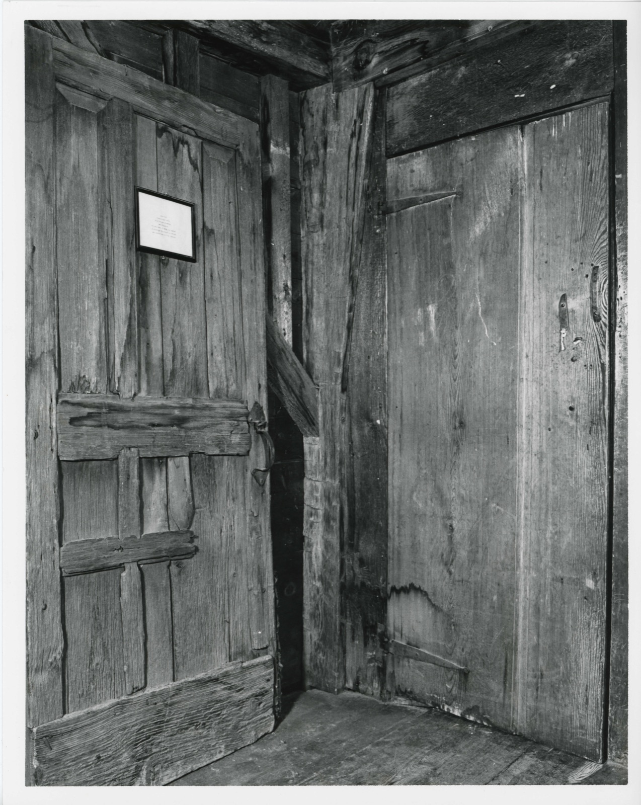
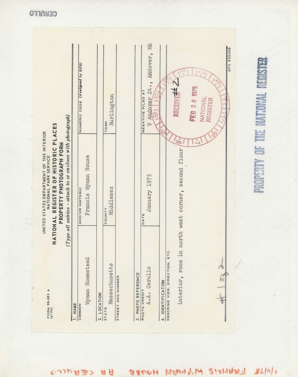
Photographs from the nomination case file, National Park Service records.
Wyman, Francis, House
Listed on the National Register of Historic Places in
1975. A historic map-sheet match is not published yet. The record needs a coordinate-quality review before it can be joined to a sheet boundary.
From the record
one of 1100 National Register listings in Middlesex County · listed in 1975 · category: Building · one of 3 National Historic Landmarks in Middlesex County.
National Register reference number.75000255- the number the National Park Service assigned this property when it was listed, and the key its nomination file is catalogued under at the National Archives.
Fires near this property
41 since 2008
Regional context, not property-specific
evidence. The
federal wildfire occurrence database
lists 41 fires within 5 miles of Wyman, Francis, House between
2008 and 2020, burning about 28 acres in total. None started naturally. None was recorded as arson.
Distance is straight-line from the map coordinates, so a fire counted
here may appear on a neighbouring settlement's page as well.
Reported cause
Fires
Debris and open burning
23
Missing data/not specified/undetermined
13
Recreation and ceremony
3
Equipment and vehicle use
1
Railroad operations and maintenance
1
The most recent of
them, most recent first, with the day each was reported and the service
that recorded it.
Regional context, not property-specific
evidence. Museums hold 1,302 specimens
collected within 10 miles of Wyman, Francis, House between 1898 and
1975: 577 Animalia, 471 Plantae, 229 Fungi, 8 Bacteria, 7 Unrecorded, 5 Chromista, 5 Protozoa. 12 distinct Species records are shown.
Collected by ?, A B. Proper, A. B. Seymour and others. Each is a
physical object with a catalogue
number, and each entry opens the museum's record. This is what was
collected and kept, not a survey of what lives here - nothing can be
concluded from a species being absent.
Regional context, not property-specific
evidence. The federal mineral resources record lists
12 workings within 5 miles of Wyman, Francis, House: 6 past producers, 4 producers, 2 plants.
6 still produce. What was taken out: Sand and Gravel, Construction, Stone, Crushed/Broken, Iron, Titanium. Distance is straight-line from the
map coordinates, so a quarry counted here may appear on a neighbouring
settlement's page as well.
Regional context, not property-specific
evidence. The National Weather Service names
Burlington, the town this property stands in, in 10 storm reports between 1997 and 2025: 4 thunderstorm wind, 3 lightning, 2 hail, 1 flash flood.
No death or injury is recorded in these reports. Each account below is quoted exactly as the forecast office
filed it, from the NOAA Storm Events Database, and each date
opens the federal record of that event.
Numerous roads were flooded and subsequently closed as anywhere from two to four inches of rain fell across Middlesex County. The most affected areas include Framingham and Marlborough. In Framingham, roads were closed due to mudslides as well as flooding, including Routes 126 and 9. Walking trails at Garden in the Woods were also washed out. In Marlborough, basements were flooded and a portion of the driveway at the New Hope Community Church was washed out.
No historic map-sheet match is published
for this property yet. That does not mean no map exists. This record needs
a coordinate-quality review before it can be joined to a sheet boundary.
Browse the county's mapped places while that work is
pending.
From the nomination file
2,477 words on record
When this property was proposed for the
National Register, someone wrote the case for it: what the building is,
and why it matters. That document is a federal record in the public domain.
It is quoted below word for word, never summarised. The text was read off the scanned case file by machine, so the
occasional stray character is the recogniser's and the 1970s
typewriter's.
Description of the property
The Wyman Homestead sits atop a small knoll on the west side of Francis Wyman Road, a short distance northwest of the center of Burlington, Massachusetts. The first quarter 18th century building faces south and utilizes the cellar foundation and chimney structure of the former mid-17th century Francis Wyamn farmhouse. The land to the north, south and east of the Wyman Homestead is occupied by a slightly crowded twentieth century urban development. The view to the west, however, presents a picture of the mid-17th century, when the Wyman farm consisted of 500 acres purchased from Henry Dunster, president of Harvard College. The Wyman Homestead is a four over four dwelling with central chimney and pitch roof. The exterior walls are covered with clapboards with cornerboards.
The fieldstone foundation extends under slightly more than half of the building and together with the chimney foundation appear to have been built during the 17th century. The roof framing is of the common rafter and purlin variety with ridge pole. Primary structural components are made of pine with the exception of studs, braces and posts. It appears that the Wyman Homestead was built around 1730 and is an unquestion- ably fine example of a transition period house. The floor plan is definitely mid-18th century; however, the structure and interior trim relate more closely to the type of construction which characterizes the typical first period, single room wide structure.
Each of the eight rooms of the Wyman Homestead is framed in the late first period fashion with posts at eadh corner and summer beams joined per- pendicularly to the chimney girts with rising braces at the second floor level.
/ARCHITECT STATEMENT OF SIGNIFICANCE The Wyman Homestead stands on a small portion of the 500 acres of land originally purchased by Francis Wyman in 1655 from Henry Dunster, first president of Harvard College. The early 18th century building utilizes the chimney structure and foundation that was once incorporated in the original 1666 farmhouse built by Francis Wyman. The present house was built by a third generation Wyman. The house is architecturally significant because it clearly displays the transition i construction between the first period style, (before 1720), and that style common to mid-18th century buildings. Many interior features also display the trend in style which placed great emphasis on the joiners trade and a decrease in importance on the carpenter or housewright's trade.
The Wyman Homestead depicts that stage in the history of building construc- tion when the heavy First Period frame became diminished in size and eventually was hidden by plaster ceilings and elaborate raised panelled sheathing. The existence of a partially exposed frame, simple beaded trim and considerable feathered edge sheathing in combination with elaborate reverse curve moldings make this building an interesting example of transition features. This, together with a completely untouched and unfinished room, and elegant 18th century staircase with newel post and molded edge rail and a primitive puncheon stairway add another degree of importance to this dwelling.
Historically, the Wyman homestead is significant because it stands as one of the few reminders of the first settlers in the Woburn-Billerica area.
Quoted from the National Register nomination
for reference 75000255, 14 pages, held by the National Archives in Record
Group 79. See the
catalogue record.
Listed places nearby
6 within 8 miles
Other National Register properties close
enough to walk or drive between, ordered by distance from this one. Both
positions come from the same geocoding pass that matched these properties
to their map sheets.
Listing record. National Park Service National Register of Historic Places, listed-properties dataset, current to 2026-05-22.
Map join. Address geocoded through the United States Census geocoder, then tested against the published boundary of every sheet in the USGS Historical Topographic Map Collection.
How this page is made. Listing fields come from federal records; map-sheet coverage is a labelled coordinate-to-boundary calculation, not a source-field claim.
Wildfire. Short, Karen C. 2022. Spatial wildfire occurrence data for the United States, 1992-2020 [FPA_FOD_20221014]. 6th Edition. Fort Collins, CO: Forest Service Research Data Archive. https://doi.org/10.2737/RDS-2013-0009.6 Collected with United States Government funding and usable without additional permissions or fees.
Specimens. Global Biodiversity Information Facility (GBIF), https://www.gbif.org/. Only records licensed CC0 or CC BY are used. Records licensed CC BY-NC are excluded because this site carries advertising. Images are checked individually and any whose licence is non-commercial, no-derivatives or unreadable is refused.
Mines and quarries. USGS Mineral Resources Data System (MRDS) https://mrdata.usgs.gov/mrds/ A work of the United States government, no copyright under 17 U.S.C. 105.
Storms. NOAA National Centers for Environmental Information, Storm Events Database https://www.ncei.noaa.gov/stormevents/ A work of the United States government, no copyright under 17 U.S.C. 105. Narratives are quoted verbatim from the National Weather Service report and are not edited or summarised.
 Block
Block