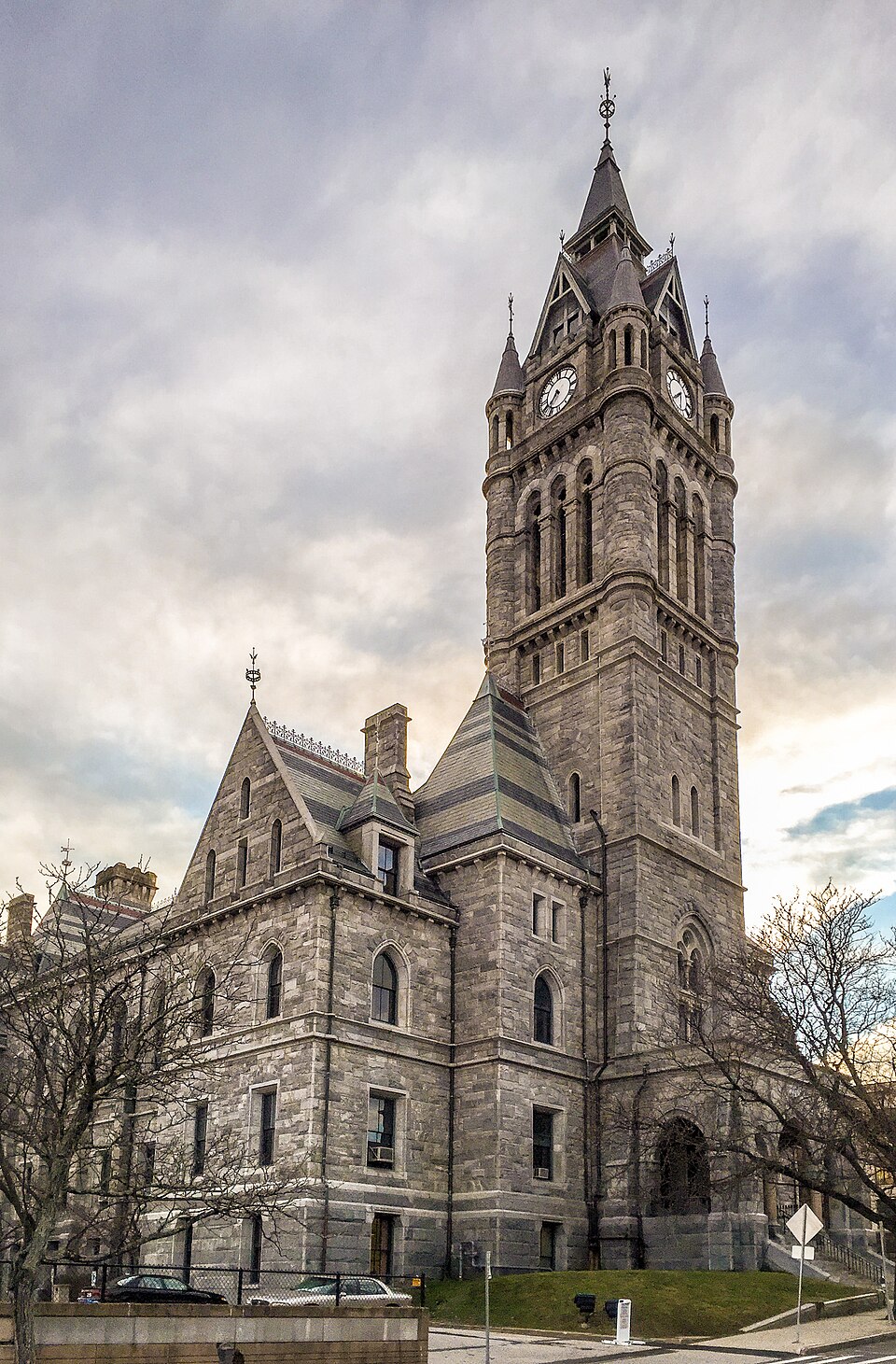
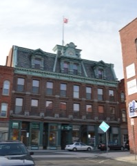
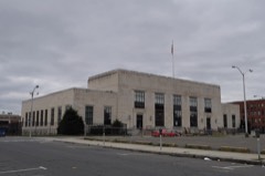
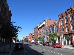
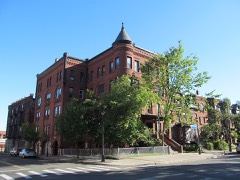
Built in 1871 in the Romanesque Revival architecture. Listed on the National Register of Historic Places in
1975. A historic map-sheet match is not published yet. The record needs a coordinate-quality review before it can be joined to a sheet boundary.
From the record
“Holyoke City Hall is the historic city hall of Holyoke, Massachusetts. It is located at 536 Dwight Street, on the south east corner of High Street and Dwight Street.”
Wikipedia article Holyoke City Hall, CC BY-SA 4.0.
one of 123 National Register listings in Hampden County · listed in 1975 · category: Building · built in 1871, Romanesque Revival architecture, by Charles B. Atwood.
National Register reference number.75000259- the number the National Park Service assigned this property when it was listed, and the key its nomination file is catalogued under at the National Archives.
Holyoke, numbered among the leading and most prosperous manufacturing cities of New England, is situated on the Connecticut river in the western part of Massachusetts and is in close proximity to northern Connecticut. By state census of 1905 the population was 49,934, and it is estimated the census of 1910 will show 58,000 people. The city was incorporated April 7, 1873.
Holyoke owes its growth and prosperity to its excellent water power and advantageous geographical position. It has close railroad connections with Boston, Hartford, Albany and New York, and is fortunate in having in its commercial circles many business men of sagacity, energy and progressive ideas. The leading industries of the city are devoted to the manufacture of paper, blank books, cotton, thread, woolens, alpacas, blankets, wire cloth, machinery, steam pumps, bits, braces, hydrants, boilers, trolley tracks and various auxiliary products.
Regional context, not property-specific
evidence. The
federal wildfire occurrence database
lists 324 fires within 5 miles of Holyoke City Hall between
2014 and 2020, burning about 188 acres in total. 28 started naturally. 2 were recorded as arson.
Distance is straight-line from the map coordinates, so a fire counted
here may appear on a neighbouring settlement's page as well.
Reported cause
Fires
Equipment and vehicle use
125
Missing data/not specified/undetermined
121
Debris and open burning
29
Natural
28
Recreation and ceremony
13
Smoking
4
Misuse of fire by a minor
2
Arson/incendiarism
2
The most recent of
them, most recent first, with the day each was reported and the service
that recorded it.
Regional context, not property-specific
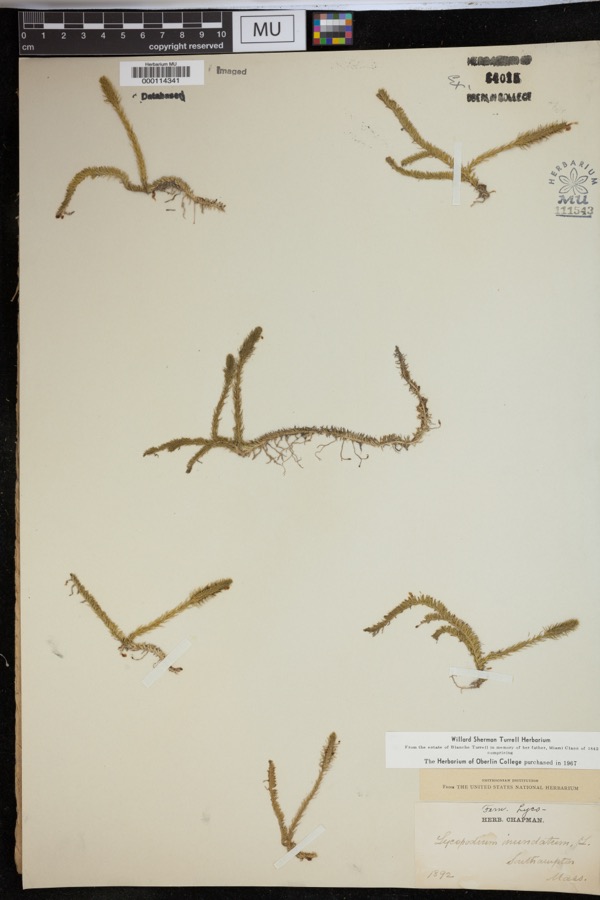
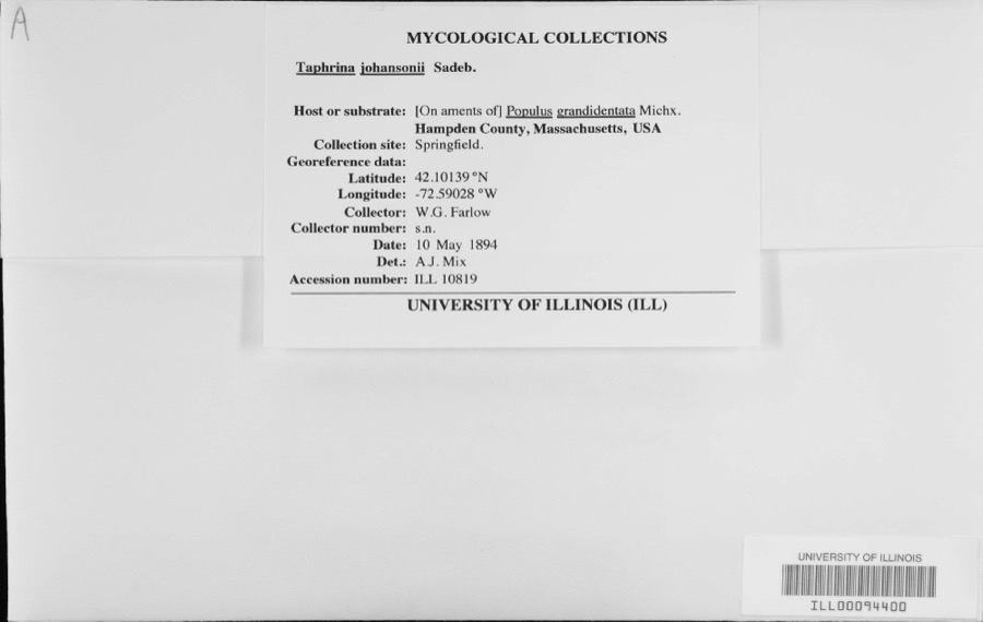
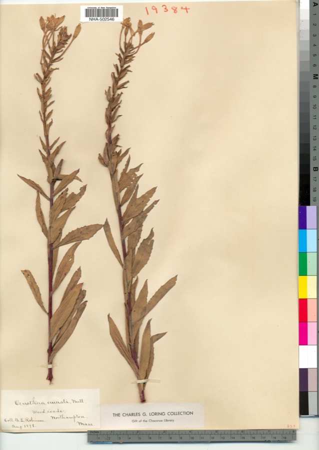
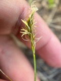
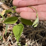
evidence. Museums hold 2,232 specimens
collected within 10 miles of Holyoke City Hall between 1831 and
1975: 1,121 Plantae, 702 Animalia, 375 Fungi, 19 Chromista, 9 Unrecorded, 5 Protozoa, 1 Bacteria. 12 distinct Species records are shown.
Collected by A. Albee, A. B. Seymour, A. C. Gibson and others. Each is a
physical object with a catalogue
number, and each entry opens the museum's record. This is what was
collected and kept, not a survey of what lives here - nothing can be
concluded from a species being absent.
Regional context, not property-specific
evidence. The federal mineral resources record lists
24 workings within 5 miles of Holyoke City Hall: 13 producers, 11 past producers.
13 still produce. What was taken out: Brick Clay, Clay, Stone, Dimension, Stone, Crushed/Broken. Distance is straight-line from the
map coordinates, so a quarry counted here may appear on a neighbouring
settlement's page as well.
Regional context, not property-specific
evidence. The National Weather Service names
Holyoke, the town this property stands in, in 22 storm reports between 1995 and 2025: 14 thunderstorm wind, 5 flood, 3 hail.
No death or injury is recorded in these reports. Each account below is quoted exactly as the forecast office
filed it, from the NOAA Storm Events Database, and each date
opens the federal record of that event.
Four golfers were struck by lightning while standing in a shelter at the Wycoff Country Club. All were wearing cleats. Three were seriously injured and the other received minor injury. Two went into cardiac arrest. Three of the injured were recovering at local area hospitals. The lightning apparently struck a nearby tree and then jumped to the shelter.
No historic map-sheet match is published
for this property yet. That does not mean no map exists. This record needs
a coordinate-quality review before it can be joined to a sheet boundary.
Browse the county's mapped places while that work is
pending.
From the nomination file
2,362 words on record
When this property was proposed for the
National Register, someone wrote the case for it: what the building is,
and why it matters. That document is a federal record in the public domain.
It is quoted below word for word, never summarised. The text was read off the scanned case file by machine, so the
occasional stray character is the recogniser's and the 1970s
typewriter's.
Description of the property
The Holyoke City Hall is situated in the heart of the city of Holyoke at the southeast corner of High and Dwight Streets. The building was designed in 1871 by C. B. Atwood of Boston and was completed in 1875 with Henry F. Kilburn of New York acting as architect for the last two years of the project. The Holyoke City Hall is in a free form Gothic style, incorporating such typical elements as spires, turrets, pointed arches, buttresses, ribbed vaulting, and stained glass. The length of the building on High Street is 190 feet and the width on Dwight Street is 114 feet. The foundation walls are four feet thick and are made of quarried stone. The exterior of the City Hall is quarry faced Monson granite laid in irregular courses.
The roof is covered with dark slate interrupted by bands of red and green slate, and surmounted by iron cresting and finials. The principal entrance on Dwight Street is by way of 18 broad granite steps which lead to a large porch, 14 by 32 feet, finished with deep moulded arches, polished Aberdeen granite columns, richly carved capitals and an elaborate timber ceiling. Six more steps approach three double doorways, each six feet wide, which open into a vestibule with a slate floor. Rising above the central entranceway on Dwight Street is a tower, 28 feet square at the base, which reaches a height of 225 feet above the sidewalk. At each corner of the tower are circular turrets which terminate in conical roofs of galvanized iron. The tower contains a belfry and clocks on each elevation.
The plan of the Holyoke City Hall is that of a rectangle with two transeptional wings crossing it at either end.
/ARCHITECT C. B. Atwood The Holyoke City Hall is significant as the work of architects C. B. Atwood and Henry F. Kilburn and as a landmark in the City of Holyoke which has re- mained in continuous use and virtually unchanged since its construction in the late 19th century. Upon its completion in 1875, the Holyoke City Hall was said to be the finest public building in Massachusetts west of Boston. Plans for the building began in 1871 when a building committee was appointed and funds appropriated for the construction of a city hall. In May 1871 a competition was held in which architects Kilburn, Hathorn, Atwood, Hunt, Potter and Parker were invited to present plans and designs. In August 1871 the building committee formally accepted the design of C..B. Atwood for the new City Hall.
Although his initial plans were used for the building, Atwood failed to furnish all the necessary drawings, and so, in October 1874, Henry F. Kilburn of New York was contracted to provide drawings for the project. Kilburn's work began when the walls of the ! building were up and most of the roof on. His drawings were for the tower and for the interior finish, including the roof of the large second floor hall. The total cost of the land and building, including furniture, was approximately $ 372,000. The great hall on the second floor remains one of the most outstanding features of Holyoke City Hall. At the time of its construction, this hall was said to be one of the finest and most expensive in the country.
It is capable of seating 1300 people, with an additional 150 in the gallery, and has been the scene of a variety of political and cultural events in the city.
Quoted from the National Register nomination
for reference 75000259, 14 pages, held by the National Archives in Record
Group 79. See the
catalogue record.
Listed places nearby
6 within 8 miles
Other National Register properties close
enough to walk or drive between, ordered by distance from this one. Both
positions come from the same geocoding pass that matched these properties
to their map sheets.
Listing record. National Park Service National Register of Historic Places, listed-properties dataset, current to 2026-05-22.
Map join. Address geocoded through the United States Census geocoder, then tested against the published boundary of every sheet in the USGS Historical Topographic Map Collection.
How this page is made. Listing fields come from federal records; map-sheet coverage is a labelled coordinate-to-boundary calculation, not a source-field claim.
Wildfire. Short, Karen C. 2022. Spatial wildfire occurrence data for the United States, 1992-2020 [FPA_FOD_20221014]. 6th Edition. Fort Collins, CO: Forest Service Research Data Archive. https://doi.org/10.2737/RDS-2013-0009.6 Collected with United States Government funding and usable without additional permissions or fees.
Specimens. Global Biodiversity Information Facility (GBIF), https://www.gbif.org/. Only records licensed CC0 or CC BY are used. Records licensed CC BY-NC are excluded because this site carries advertising. Images are checked individually and any whose licence is non-commercial, no-derivatives or unreadable is refused.
Mines and quarries. USGS Mineral Resources Data System (MRDS) https://mrdata.usgs.gov/mrds/ A work of the United States government, no copyright under 17 U.S.C. 105.
Storms. NOAA National Centers for Environmental Information, Storm Events Database https://www.ncei.noaa.gov/stormevents/ A work of the United States government, no copyright under 17 U.S.C. 105. Narratives are quoted verbatim from the National Weather Service report and are not edited or summarised.
 Block
Block