Listed on the National Register of Historic Places in
1975. A historic map-sheet match is not published yet. The record needs a coordinate-quality review before it can be joined to a sheet boundary.
From the record
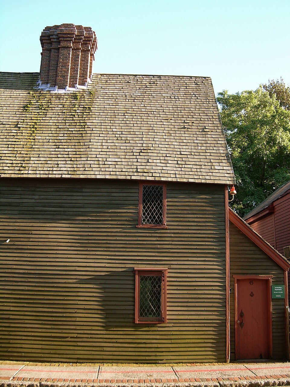
“The Charter Street Historic District encompasses a small remnant of the oldest part of Salem, Massachusetts that has since been surrounded by more modern development. It includes three properties on Charter Street: the Pickman House, the Grimshawe House, and the Charter Street Cemetery, or Central Burying Point.”
Wikipedia article Charter Street Historic District, CC BY-SA 4.0.
one of 350 National Register listings in Essex County · listed in 1975 · category: District · one of 2 National Historic Landmarks in Essex County.
National Register reference number.75000294- the number the National Park Service assigned this property when it was listed, and the key its nomination file is catalogued under at the National Archives.
Q. what kind of man is Jn° willard : a young man or an old man. A : he is not an old man. he had black hair. Q. what meeting was this meeting : was this that that was near Jngerfals: A: Yes. J think. Q. what did they do then. A. the eat & drank wine: was there a minifter there. A. no : not as J know of : from whence had you your wine : A. from Salem J think was Q.. goodwife Olliver there, yes I knew her.
Regional context, not property-specific
evidence. The
federal wildfire occurrence database
lists 53 fires within 5 miles of Charter Street Historic District between
2006 and 2020, burning about 173 acres in total. 1 started naturally. 3 were recorded as arson.
Distance is straight-line from the map coordinates, so a fire counted
here may appear on a neighbouring settlement's page as well.
Reported cause
Fires
Recreation and ceremony
18
Smoking
8
Equipment and vehicle use
7
Debris and open burning
5
Missing data/not specified/undetermined
4
Arson/incendiarism
3
Misuse of fire by a minor
3
Power generation/transmission/distribution
2
Fireworks
1
Natural
1
Railroad operations and maintenance
1
The most recent of
them, most recent first, with the day each was reported and the service
that recorded it.
Regional context, not property-specific
evidence. Museums hold 9,557 specimens
collected within 10 miles of Charter Street Historic District between 1800 and
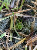
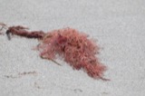
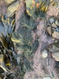
1975: 3,810 Plantae, 2,875 Animalia, 1,261 Fungi, 935 Chromista, 459 Unrecorded, 155 Bacteria, 62 Protozoa. 12 distinct Species records are shown.
Collected by A B. Proper, A H HIGGINSON, A. A. Eaton and others. Each is a
physical object with a catalogue
number, and each entry opens the museum's record. This is what was
collected and kept, not a survey of what lives here - nothing can be
concluded from a species being absent.
Regional context, not property-specific
evidence. The federal mineral resources record lists
8 workings within 5 miles of Charter Street Historic District: 5 plants, 1 unknown, 1 producer, 1 past producer.
6 still produce. What was taken out: Stone, Crushed/Broken, Zirconium, Thorium, Tungsten. Distance is straight-line from the
map coordinates, so a quarry counted here may appear on a neighbouring
settlement's page as well.
Regional context, not property-specific
evidence. The National Weather Service names
Salem, the town this property stands in, in 10 storm reports between 1993 and 2023: 4 thunderstorm wind, 3 hail, 2 flood, 1 flash flood.
No death or injury is recorded in these reports. Each account below is quoted exactly as the forecast office
filed it, from the NOAA Storm Events Database, and each date
opens the federal record of that event.
Numerous streets were closed due to flooding. In addition, numerous vehicles were reported stuck in water on roads throughout Peabody; occupants had to be rescued and vehicles towed. Parts of Route 128 were impassable due to flooding. The Peabody police station was flooded, damaging training rooms, telephones, three police cruisers, and two motorcycles. Several houses were flooded near the intersection of Washington and Granite Streets. The Lahey Clinic was flooded with 4 to 6 feet of water in the basement and several inches of water in the 1st floor hallways. The fire chief estimated that at least 100 houses and 40 businesses were damaged. In addition, at least 100 basements throughout town were flooded. Flooding was extensive enough that schools were closed.
In Salem, Swampscott Road was closed due to flooding and three cars were stuck in floodwaters on Highland Avenue. Cars were stuck in floodwaters on Stettson Road in Swampscott. In Marblehead, West Shore Drive was impassable and closed from Cornell Road to Lafayette Street. In addition, a building was flooded on Salem Street and a house was flooded on Smith Street.
Two trees down in Salem Willows Park. Numerous dime-size hail stones fell at approximately 1845 EST in West Peabody with one or two stones just under the size of a quarter as measured by the son of a NWS meteorologist. Rainfall in Peabody was 1.68 inches.
1 paper published in this town,
digitised by the Library of Congress and free to read: 0 issues,
0 pages. Every page is searchable, so a name or a street can be
looked for directly in what the town printed about itself at the time.
No historic map-sheet match is published
for this property yet. That does not mean no map exists. This record needs
a coordinate-quality review before it can be joined to a sheet boundary.
Browse the county's mapped places while that work is
pending.
From the nomination file
2,838 words on record
When this property was proposed for the
National Register, someone wrote the case for it: what the building is,
and why it matters. That document is a federal record in the public domain.
It is quoted below word for word, never summarised. The text was read off the scanned case file by machine, so the
occasional stray character is the recogniser's and the 1970s
typewriter's.
Description of the property
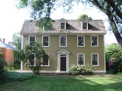
The Charter Street Historic District consists of the Grimshawe House (c.1770), the Pickman House (c.1638-1680), and the Charter Street Cemetery (Burying Point, c.1637) which lies between the houses. The Grimshawe House sits in the northwest corner of the Charter Street Cemetery, the oldest cemetery in Salem. It is a large hip roofed Fedéral style structure, three stories high and four bays wide. The house has been altered considerably on the exterior; the original clapboards of the wooden structure have been covered with asphalt shingles, the original chimneys and shutters have been removed and additional windows added. In 1896 the house was moved back several feet in order to widen the sidewalk. In 1915 fire damaged the interior.
After repairs were made the house was used as a boardinghouse, and the front entrance was moved to the Essex Institute to preserve it. The Pickman House, whose c.1638 or c.1680 dates are a subject of much controversy (discussed under significance), is situated on the corner of Charter and Liberty Streets. This early 2% story wooden building was extensively restored and The Charter Street Cemetery is situated between the two historic houses. It is the oldest burying ground in salem and one of the oldest in the cuntry, having been in use before 1637. Its original name was the "Burying Point" because of its location on a bluff overlooking the South River. Within its confines are the gravestones of many early settlers.
The cemetery is a well kept up area and contains gravemarkers typical of the 17th and 18th centuries. NPS Form 10-900-a (3-82) United States Department of the Interior National Park Service National Register of Historic Places Inventory - Nomination Form Continuation sheet Item number7 Non-Contributing Structures 2780 W.
/ARCHITECT STATEMENT OF SIGNIFICANCE The Charter Street Historic District contains the only remaining elements of the thriving business and residential neighborhood that once stood here, created in part by the neighborhood's proximity to the South River which formerly extended to the fout of Liberty Street. The area also has strong associations with the earliest settlers in Salem as well as literary associations with Nathaniel Hawthorne and the Peabody sisters. Although the neighborhood surrounding the Grimshawe House and the Pickman House has disappeared through decay and urban renewal, and even though both of the re- maining houses have been considerably altered, they still retain the significance they acquired through being associated with the neighborhood.
The Grimshawe House (c.1770) has additional significance because of its associations with the Peabody family and Nathaniel Hawthorne. Dr. Nathaniel Peabody, a dentist and general physician, lived in the house with his family from 1835 to 1841. It was to this house that Nathaniel Hawthorne came and courted Sophia Peabody, and the house became the setting for the novel Dr. Grimshawe's Secret. In the story he vividly describes the house and the burying ground next door, both of which found their way into many of his other works. Horace Mann, the notable educator, was a frequent visitor to the house when he was courting Mary Peabody. Her sister Elizabeth Palmer Peabody became one of the foremost women in the literary circles of her day.
Her association with the Transcendentalists, Emerson, Thoreau, Alcott, and the feminist Margaret Fuller is well known. Elizabeth's untiring efforts were also responsible for the estab- lishment of the kindergarten in America. The Charter Street Cemetery (Burying Point) is historically significant as the oldest burying ground in Salem,c.1637, and because of the many early settlers that are buried here.
Quoted from the National Register nomination
for reference 75000294, 15 pages, held by the National Archives in Record
Group 79. See the
catalogue record.
Listed places nearby
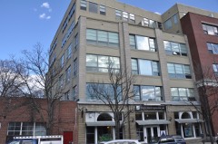
6 within 8 miles
Other National Register properties close
enough to walk or drive between, ordered by distance from this one. Both
positions come from the same geocoding pass that matched these properties
to their map sheets.
Listing record. National Park Service National Register of Historic Places, listed-properties dataset, current to 2026-05-22.
Map join. Address geocoded through the United States Census geocoder, then tested against the published boundary of every sheet in the USGS Historical Topographic Map Collection.
How this page is made. Listing fields come from federal records; map-sheet coverage is a labelled coordinate-to-boundary calculation, not a source-field claim.
Wildfire. Short, Karen C. 2022. Spatial wildfire occurrence data for the United States, 1992-2020 [FPA_FOD_20221014]. 6th Edition. Fort Collins, CO: Forest Service Research Data Archive. https://doi.org/10.2737/RDS-2013-0009.6 Collected with United States Government funding and usable without additional permissions or fees.
Specimens. Global Biodiversity Information Facility (GBIF), https://www.gbif.org/. Only records licensed CC0 or CC BY are used. Records licensed CC BY-NC are excluded because this site carries advertising. Images are checked individually and any whose licence is non-commercial, no-derivatives or unreadable is refused.
Mines and quarries. USGS Mineral Resources Data System (MRDS) https://mrdata.usgs.gov/mrds/ A work of the United States government, no copyright under 17 U.S.C. 105.
Storms. NOAA National Centers for Environmental Information, Storm Events Database https://www.ncei.noaa.gov/stormevents/ A work of the United States government, no copyright under 17 U.S.C. 105. Narratives are quoted verbatim from the National Weather Service report and are not edited or summarised.
 Block
Block