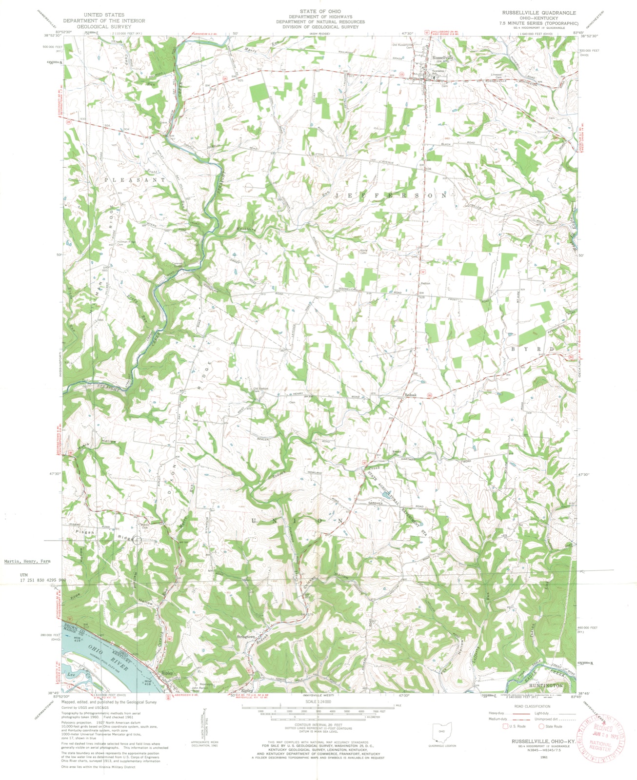
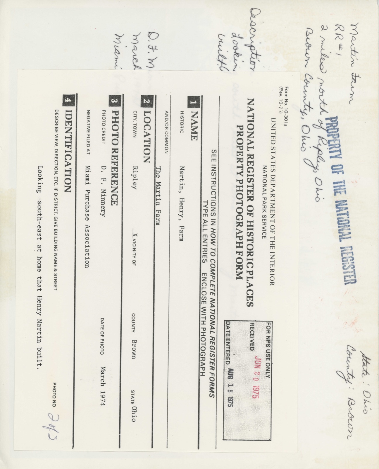
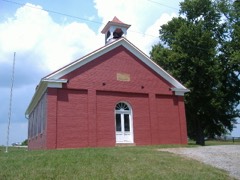
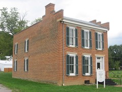
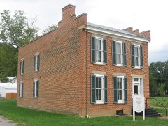
Photographs from the nomination case file, National Park Service records.
Martin, Henry, Farm
Listed on the National Register of Historic Places in
1975. A historic map-sheet match is not published yet. The record needs a coordinate-quality review before it can be joined to a sheet boundary.
From the record
“The Henry Martin Farm, near Ripley, Ohio, is a historic farm which was listed on the National Register of Historic Places in 1975.”
Wikipedia article Henry Martin Farm, CC BY-SA 4.0.
one of 21 National Register listings in Brown County · listed in 1975 · category: Building · one of 3 National Historic Landmarks in Brown County.
National Register reference number.75001326- the number the National Park Service assigned this property when it was listed, and the key its nomination file is catalogued under at the National Archives.
The Political Examiner , a Georgetown paper, under date September 24, 1840, contains the following announcement : " Once more unto the breach, once more! Grand rally at Ripley, Ohio, on the 30th instant. Preparation is already made to keep thousands of freemen - yea, all that may come - ' without money and without price.' Gen. Harrison will most positively be there, among other invited guests, life and health permitting."
Gen. Harrison came to Ripley as advertised, and one of the largest conventions ever held in the county was the result. They came from every quarter - from Hillsboro and Highland County, from Clermont County, from every nook and corner of Brown County, and thousands from Kentucky - they came in large canoes on wheels, with casks representing hard cider barrels, and, in short, the people were ablaze.
Regional context, not property-specific
evidence. The
federal wildfire occurrence database
lists 1 fire within 5 miles of Martin, Henry, Farm between
2003 and 2003, burning about 0 acres in total. None started naturally. None was recorded as arson.
Distance is straight-line from the map coordinates, so a fire counted
here may appear on a neighbouring settlement's page as well.
Reported cause
Fires
Debris and open burning
1
The most recent of
them, most recent first, with the day each was reported and the service
that recorded it.
Regional context, not property-specific
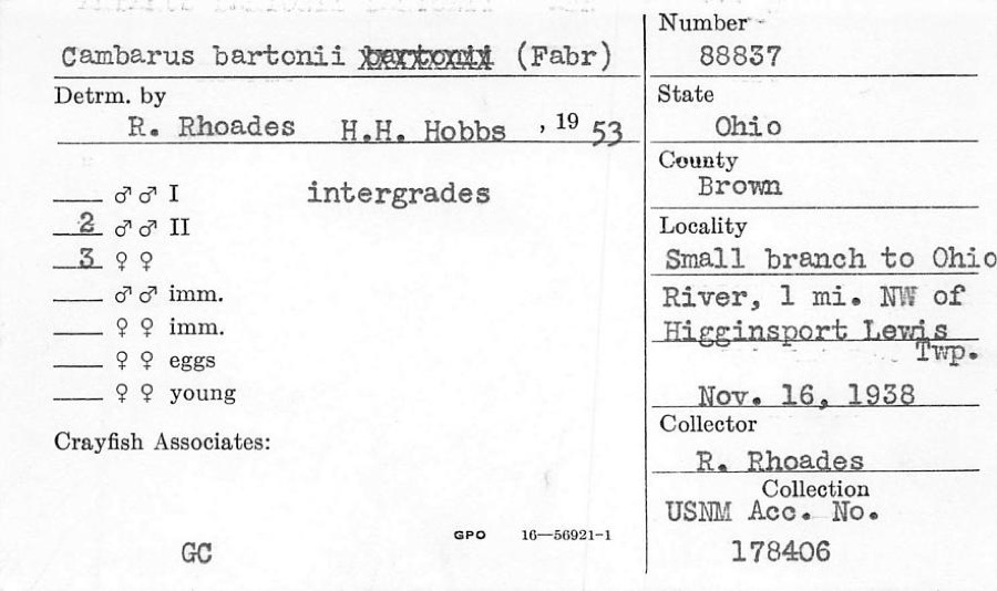
evidence. Museums hold 282 specimens
collected within 10 miles of Martin, Henry, Farm between 1883 and
1974: 244 Animalia, 33 Fungi, 5 Plantae. 12 distinct Species records are shown.
Collected by A JOHN, ANSEL JOHN, Ahles, H.E. and others. Each is a
physical object with a catalogue
number, and each entry opens the museum's record. This is what was
collected and kept, not a survey of what lives here - nothing can be
concluded from a species being absent.
Regional context, not property-specific
evidence. The federal mineral resources record lists
1 working within 5 miles of Martin, Henry, Farm: 1 producer.
All of them still produce. What was taken out: Sand and Gravel, Construction. Distance is straight-line from the
map coordinates, so a quarry counted here may appear on a neighbouring
settlement's page as well.
Regional context, not property-specific
evidence. The National Weather Service names
Ripley, the town this property stands in, in 34 storm reports between 1994 and 2025: 17 thunderstorm wind, 7 hail, 7 flash flood, 2 flood.
No death or injury is recorded in these reports. Each account below is quoted exactly as the forecast office
filed it, from the NOAA Storm Events Database, and each date
opens the federal record of that event.
Four to five inches of rain produced widespread flash flooding across southeastern Brown County. Damage to several roads was reported throughout Huntington Township and a bridge at Stringtown and Flaugher Hill Roads sustained damage. One vehicle was washed down a creek and numerous vehicles were stranded in high water.
Three homes along US Routes 62 and 68 north of Ripley had their roofs either removed or damaged. Additional structural damage occurred to a motel, and apartment building and church near Aberdeen. A number of parked vehicles had windows damaged. Numerous trees were also uprooted or downed in the area. Damage was determined to be caused by straight-line winds estimated at 80-90 mph.
A residential structure on Scoffield Road, just west of Devore Road, sustained water damage with several inches of flowing water and mud moving through living spaces.
The tornado touched down between the AA Highway and Kentucky 435 in Mason County Kentucky. Some of the heaviest and most concentrated tree damage was found very near the Ohio River on South Ripley Road, and adjacent areas of Mary Ingles Highway (Highway 8). The survey team found tree and agricultural building damage along the length of the path in Mason County. The vast majority of structural damage in Mason County consisted of barns and outbuildings with roof panels removed. ||Across the Ohio River in the eastern side of Ripley, tree and shingle damage was found on Pearl Street, Kevin Drive, and portions of Elizabeth Street. There was little to no evidence of damage up the steep river bluff above the city of Ripley, suggesting the tornado was lifting as it moved into the city.
Two roads were flooded and closed to the east of Ripley. Significant flooding took place along Fishing Gut Creek near the intersection of State Routes 41 and 763 just north of Aberdeen.
A roof was blown off of the patio of a home along the Ohio River. The roof was carried 100 feet uphill and over US Route 52 before being dropped. Several trees were downed as well. The damage was caused by a possible microburst.
Several inches of water was reported to be covering Hamburg Street where it intersects with Governor Street. Some of this water entered a shed and garage on a residential property, causing water damage.
No historic map-sheet match is published
for this property yet. That does not mean no map exists. This record needs
a coordinate-quality review before it can be joined to a sheet boundary.
Browse the county's mapped places while that work is
pending.
From the nomination file
1,878 words on record
When this property was proposed for the
National Register, someone wrote the case for it: what the building is,
and why it matters. That document is a federal record in the public domain.
It is quoted below word for word, never summarised. The text was read off the scanned case file by machine, so the
occasional stray character is the recogniser's and the 1970s
typewriter's.
Description of the property
with a fieldstone foundation and whole tree piers. The sides slight slope to the roof giving it a lean-to effect. The second foundation. The Excellent placed. one story high sections. Flush with the north massive fireplace stacks. are constructed of vertically placed planks. north of his brick home. This elevation also contains double-hung window. windows.Flush with the rear of the wood section is the rear of the brick section.
The larger of the two is constructed inches from the wall against which they are symmetrically The long axis of both sections Directly under the gable peak on the west side The east side of the wood section The roof is There is a flat porch roof over the door There are however two to an engraving of 1876 these two piers also supported The west side of the brick section has two lower than the brick.A small near the contains no openings at all. - Pre-Columbian! - 20th Century SPECIFIC DATE(S) (If Applicable and Known) - Prehistoric Other, (Specify) Li Historic * Agriculture Architecture - Commerce - Literature Alexander Martin, a soldier of the American Revolution, He first built a log cabin on the premises, but in 1816 the then county of Hamilton, asked Arthur St.
Clair, By 1840, Alexander's son Henry, built a home for himself He built his house of brick, which was fashioned from Settled by a Revolutionary war veteran, the early owners 1840 Conservation
Statement of significance
in the John Crofford Survey in 1798. The deed for the he completed construction of "Stonehurst" , a more of the area. In fact, there is an engraving of Henry today) printed in the "Brown County Atlas" of 1876. of subsequent territorial courts as a presiding magistrate. river towns along this particular stretch of the Ohio River governor of the Northwest Territory, to appoint Alexander as an Associate Judge, and like his grandfather Alexander, has never left the Martin family. this region of the Ohio valley, predating even many of the The present owners are as Justice of the Peace.He also served for twenty years on his father's farm close by the ancestral "Stonehurst.
Quoted from the National Register nomination
for reference 75001326, 11 pages, held by the National Archives in Record
Group 79. See the
catalogue record.
Listed places nearby
6 within 8 miles
Other National Register properties close
enough to walk or drive between, ordered by distance from this one. Both
positions come from the same geocoding pass that matched these properties
to their map sheets.
Listing record. National Park Service National Register of Historic Places, listed-properties dataset, current to 2026-05-22.
Map join. Address geocoded through the United States Census geocoder, then tested against the published boundary of every sheet in the USGS Historical Topographic Map Collection.
How this page is made. Listing fields come from federal records; map-sheet coverage is a labelled coordinate-to-boundary calculation, not a source-field claim.
Wildfire. Short, Karen C. 2022. Spatial wildfire occurrence data for the United States, 1992-2020 [FPA_FOD_20221014]. 6th Edition. Fort Collins, CO: Forest Service Research Data Archive. https://doi.org/10.2737/RDS-2013-0009.6 Collected with United States Government funding and usable without additional permissions or fees.
Specimens. Global Biodiversity Information Facility (GBIF), https://www.gbif.org/. Only records licensed CC0 or CC BY are used. Records licensed CC BY-NC are excluded because this site carries advertising. Images are checked individually and any whose licence is non-commercial, no-derivatives or unreadable is refused.
Mines and quarries. USGS Mineral Resources Data System (MRDS) https://mrdata.usgs.gov/mrds/ A work of the United States government, no copyright under 17 U.S.C. 105.
Storms. NOAA National Centers for Environmental Information, Storm Events Database https://www.ncei.noaa.gov/stormevents/ A work of the United States government, no copyright under 17 U.S.C. 105. Narratives are quoted verbatim from the National Weather Service report and are not edited or summarised.
 Block
Block