Listed on the National Register of Historic Places in
1975. A historic map-sheet match is not published yet. The record needs a coordinate-quality review before it can be joined to a sheet boundary.
From the record
“About 1810 the township was surveyed into one hundred lots, numbered from the northwest, but no speedy attempt at settlement followed. In 1813 Elijah Nobles settled on Tinker's ereek near the line of Independence, and was probably the first pioneer of Bedford.”
History of Cuyahoga County Ohio (1870). Machine-read text.
one of 338 National Register listings in Cuyahoga County · listed in 1975 · category: Structure · one of 3 National Historic Landmarks in Cuyahoga County.
National Register reference number.75001351- the number the National Park Service assigned this property when it was listed, and the key its nomination file is catalogued under at the National Archives.
What happened here
An account from the chapter on Bedford city, The inset identifies its exact
source book and publication year.
Dr. J. M. Turner, who came about 1828 and lived a little south of the village, was the first physician and was in practice about five years. Dr. Charles Goodrich came about 1830, but fell a victim to the cholera in 1832; Dr. J. P. Robinson was in practice from January, 1882, till his removal to Cleveland in 1865.
The chapter on Bedford City in History of Cuyahoga County Ohio, published 1870 names Bedford. This is what it says, exactly as the scans read.
Tuts township lies on the Summit county line, east of Independence and south of Warrensville. On the east it is bonnded by the township of Solon. It is known in the survey as township number six in range eleven. When it was organized for civil purposes, in 1828, it received its present name at the suggestion of Daniel Benedict, in compliment to the place of his nativity - Bedford, Connecticut.
Along the streams the surface of the township is sumewhat broken, but in other parts it is generally level. Being also quite elevated, Bedford is a very healthy township. Heavy forests originally covered the ground, but these have been generally removed, although the appearance of the country is yet pleasantly diversified by bodies of timber which have been allowed to remain in their primitive beauty. The soil is variable, but is usually a light loam. It is generally free from stones, and may be cultivated with ease. It is fertile, and yields the ordinary products of this part of the State, but dairying has, to a large extent, become the chief industrial pursuit of the inhabitants.
Regional context, not property-specific
evidence. The
federal wildfire occurrence database
lists 2 fires within 5 miles of Cleveland And Pittsburgh Railroad Bridge between
1993 and 2000, burning about 7 acres in total. None started naturally. 1 was recorded as arson.
Distance is straight-line from the map coordinates, so a fire counted
here may appear on a neighbouring settlement's page as well.
Reported cause
Fires
Arson/incendiarism
1
Missing data/not specified/undetermined
1
The most recent of
them, most recent first, with the day each was reported and the service
that recorded it.
Regional context, not property-specific
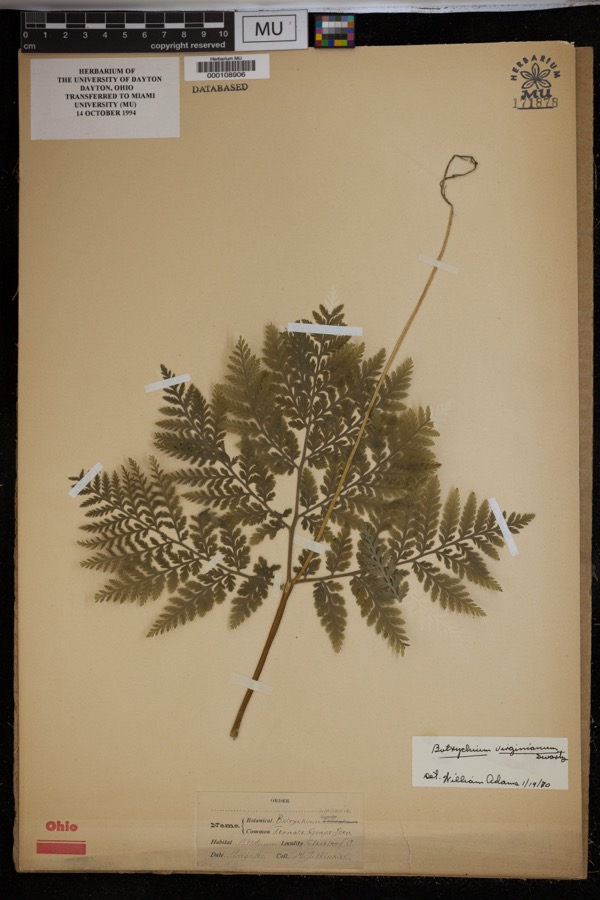
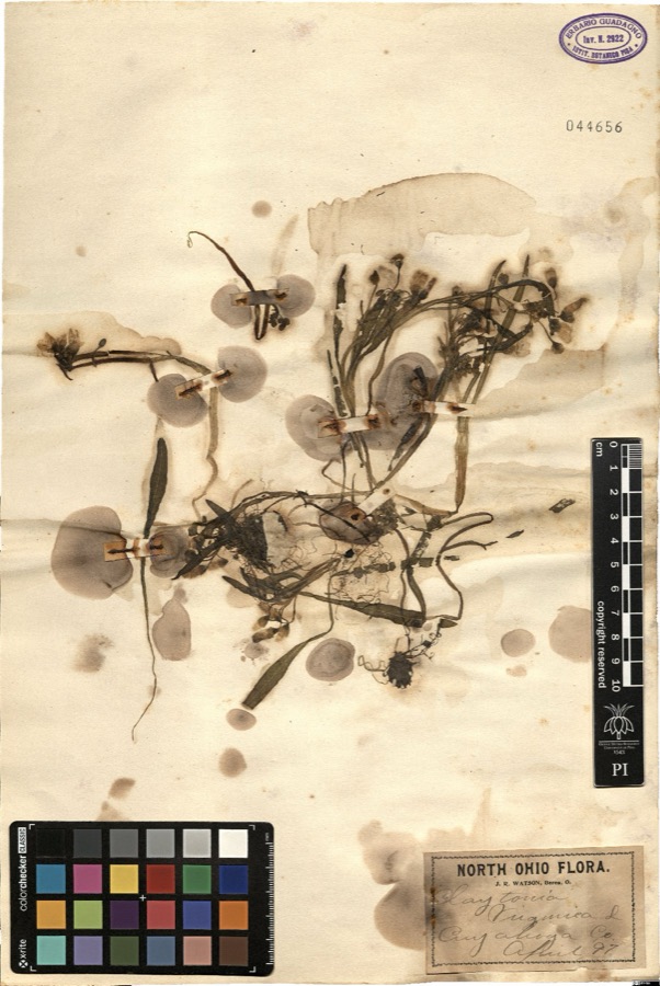
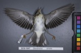
evidence. Museums hold 1,998 specimens
collected within 10 miles of Cleveland And Pittsburgh Railroad Bridge between 1876 and
1975: 1,912 Animalia, 49 Plantae, 33 Fungi, 3 Protozoa, 1 incertae sedis. 12 distinct Species records are shown.
Collected by A. D. Huryn, A. D. Selby, A. Hall and others. Each is a
physical object with a catalogue
number, and each entry opens the museum's record. This is what was
collected and kept, not a survey of what lives here - nothing can be
concluded from a species being absent.
Regional context, not property-specific
evidence. The federal mineral resources record lists
7 workings within 5 miles of Cleveland And Pittsburgh Railroad Bridge: 4 past producers, 2 producers, 1 unknown.
2 still produce. What was taken out: Sand and Gravel, Construction, Clay, Zirconium, Stone, Crushed/Broken. Distance is straight-line from the
map coordinates, so a quarry counted here may appear on a neighbouring
settlement's page as well.
Regional context, not property-specific
evidence. The National Weather Service names
Bedford, the town this property stands in, in 12 storm reports between 1999 and 2026: 5 hail, 5 thunderstorm wind, 2 flash flood.
No death or injury is recorded in these reports. Each account below is quoted exactly as the forecast office
filed it, from the NOAA Storm Events Database, and each date
opens the federal record of that event.
Multiple reports of hail up to golf ball-size to slightly larger than hen egg-size in Bedford. For example, received a picture of a 2.25 diameter hailstone, measured with a ruler, in Bedford. Also, wind-driven severe hail damaged some of the siding and a window of a house in the town. According to the Cleveland Plain Dealer, Bedford's mayor estimated the severe hailstorm caused $1 million in damage to city hall and the surrounding city government complex alone.
Multiple road closures in and around Solon due to flash flooding. Road closures include US-422 at Brainard Road and Bainbridge Road near Harper Road. Radar estimated 1.75 to 2.25 inches of rainfall in a three hour period, with most of the rain falling in a 60 to 90 minute period.
At the USGS Tinkers Creek gage at Bedford, Ohio (No. 04207200), on March 29th the Creek crested at 530 am with a stage of 8.44 feet and a flow of 4690 cfs as a 10-year flood, which put it just below the flood of February 28, 2011. Backwater from the Cuyahoga River exasperated flooding near the confluence near Valley View.
No historic map-sheet match is published
for this property yet. That does not mean no map exists. This record needs
a coordinate-quality review before it can be joined to a sheet boundary.
Browse the county's mapped places while that work is
pending.
From the nomination file
1,589 words on record
When this property was proposed for the
National Register, someone wrote the case for it: what the building is,
and why it matters. That document is a federal record in the public domain.
It is quoted below word for word, never summarised. The text was read off the scanned case file by machine, so the
occasional stray character is the recogniser's and the 1970s
typewriter's.
Description of the property
JUN 1 7 1975 REGISTER which covers one arch and the lower portions of the piers of the viaduct.Thus the bridge is still entirely there but partially PERIOD (Check One or More as Appropriate) - Pre-Columbian! 1 16th Century SPECIFIC DATE(s) (If Applicable and Known) 1864; 1901 - Political - Prehistoric - Other (Specify) - Science - Sculpture - Social/Human- - Theater X Transportation STATEMENT OF
Statement of significance
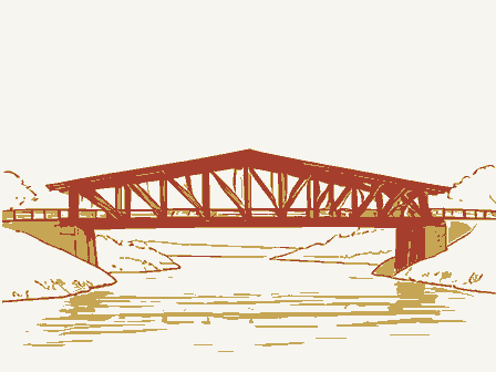
and mason was Al Spafford, who is said to have used a derrick became a part of the Pennsylvania Railroad. JUN 1 7 1975 Commerce Communications Conservation ition. Architecture losophy Military Landscape Aboriginal Engineering NATIONAL REGISTER Religion/Phi Literature Industry SIGNIFICANCE Agriculture Invention itarian Urban Planning Music The Cleveland and Pittsburgh Railroad came to Bedford skill of mid-nineteenth century American builders. An event of interest in local history was the passage of for the great arches. He was also a violin-maker.
This is a viaduct of truly Roman proportions.Even part- Philadelphia to Chicago for exhibition at the Columbian Expos- It was replaced by the stone viaduct in 1864.The contractor The right-of-way was changed in 190l in order to accom- modate a double-track line.The Cleveland and Pittsburgh later in 1852 and revolutionized east-west travel for the community. Education the train on April 27,1893,carrying the Liberty Bell from AREAS OF SIGNIFICANCE (Check One or More as Appropriate) ially obscured, it is a magnificent testimony to the engineering Art The first bridge over Tinker's Creek was a wooden trestle.
Quoted from the National Register nomination
for reference 75001351, 11 pages, held by the National Archives in Record
Group 79. See the
catalogue record.
Listed places nearby
6 within 8 miles
Other National Register properties close
enough to walk or drive between, ordered by distance from this one. Both
positions come from the same geocoding pass that matched these properties
to their map sheets.
Listing record. National Park Service National Register of Historic Places, listed-properties dataset, current to 2026-05-22.
Map join. Address geocoded through the United States Census geocoder, then tested against the published boundary of every sheet in the USGS Historical Topographic Map Collection.
How this page is made. Listing fields come from federal records; map-sheet coverage is a labelled coordinate-to-boundary calculation, not a source-field claim.
Wildfire. Short, Karen C. 2022. Spatial wildfire occurrence data for the United States, 1992-2020 [FPA_FOD_20221014]. 6th Edition. Fort Collins, CO: Forest Service Research Data Archive. https://doi.org/10.2737/RDS-2013-0009.6 Collected with United States Government funding and usable without additional permissions or fees.
Specimens. Global Biodiversity Information Facility (GBIF), https://www.gbif.org/. Only records licensed CC0 or CC BY are used. Records licensed CC BY-NC are excluded because this site carries advertising. Images are checked individually and any whose licence is non-commercial, no-derivatives or unreadable is refused.
Mines and quarries. USGS Mineral Resources Data System (MRDS) https://mrdata.usgs.gov/mrds/ A work of the United States government, no copyright under 17 U.S.C. 105.
Storms. NOAA National Centers for Environmental Information, Storm Events Database https://www.ncei.noaa.gov/stormevents/ A work of the United States government, no copyright under 17 U.S.C. 105. Narratives are quoted verbatim from the National Weather Service report and are not edited or summarised.
 Block
Block