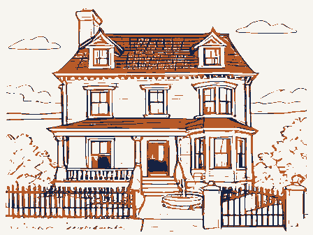
Listed on the National Register of Historic Places in
1978. A historic map-sheet match is not published yet. The record needs a coordinate-quality review before it can be joined to a sheet boundary.
From the record
one of 338 National Register listings in Cuyahoga County · listed in 1978 · category: Building · one of 3 National Historic Landmarks in Cuyahoga County.
National Register reference number.78002047- the number the National Park Service assigned this property when it was listed, and the key its nomination file is catalogued under at the National Archives.
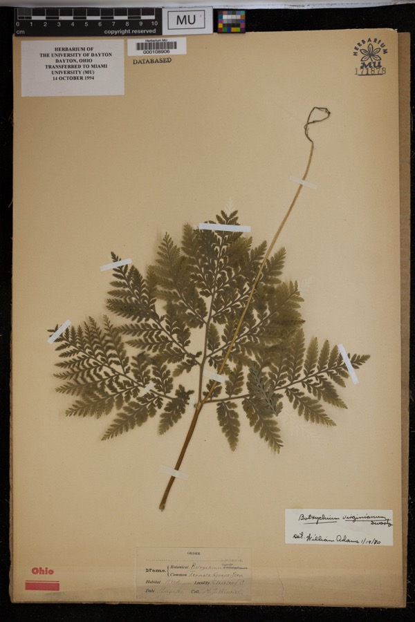
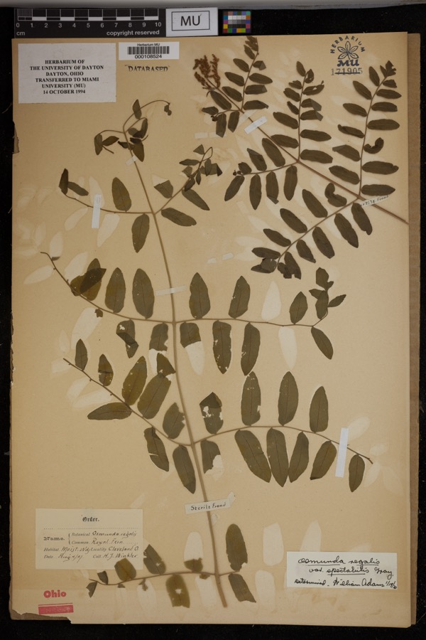
Specimens collected near this property
12 of 1,646 shown
Regional context, not property-specific
evidence. Museums hold 1,646 specimens
collected within 10 miles of Drake, Alonzo, House between 1876 and
1975: 1,584 Animalia, 37 Plantae, 22 Fungi, 2 Protozoa, 1 incertae sedis. 12 distinct Species records are shown.
Collected by A. Hall, A. Woolman, AUSLEY, G and others. Each is a
physical object with a catalogue
number, and each entry opens the museum's record. This is what was
collected and kept, not a survey of what lives here - nothing can be
concluded from a species being absent.
Regional context, not property-specific
evidence. The federal mineral resources record lists
7 workings within 5 miles of Drake, Alonzo, House: 5 past producers, 1 producer, 1 unknown.
1 still produces. What was taken out: Stone, Crushed/Broken, Sand and Gravel, Construction, Zirconium. Distance is straight-line from the
map coordinates, so a quarry counted here may appear on a neighbouring
settlement's page as well.
Regional context, not property-specific
evidence. The National Weather Service names
Oakwood, the town this property stands in, in 7 storm reports between 2004 and 2025: 3 hail, 2 thunderstorm wind, 1 flash flood, 1 tornado.
No death or injury is recorded in these reports. Each account below is quoted exactly as the forecast office
filed it, from the NOAA Storm Events Database, and each date
opens the federal record of that event.
Flash flooding began to gradually develop by around 6 PM as several clusters of thunderstorms producing heavy rain traversed Cleveland and surrounding suburbs. In the city of Cleveland, I-77 had several lanes under water near Grant Road by around 5:30 PM. Other city streets also experienced flooding. I-480 at Ridge Road experienced flooding with two cars submerged in Brooklyn. Street flooding and water rescues were also reported in Bedford Heights and Garfield Heights. The same area was affected by a flash flood in April, where many of the same businesses were impacted though not as severely this time. There were flooded cars stranded in parking lots off of Brookpark Road. Brookpark road was closed for several hours. A few homes had water in their basements.||Doppler radar rainfall amounts were estimated at nearly three inches by 7:50 PM across the county. The majority of the thunderstorms and heavy rain exited the area by 10:30 PM with only light rain remaining. Most flooding subsided by 12:30 AM on the 31st. Rainfall rates were measured around 5 inches per hour at the peak of the storm. Some rainfall reports in the area: Jennings Parkway 3.03, Olmsted Falls 3.30, and Cleveland Hopkins Airport had 2.24.
A brief, EF-1 tornado touched down just east of the intersection|of I-271 and I-480 near Oakwood at 3:23 PM EDT on June 16, 2019.|The tornado uprooted and snapped several trees in the area. The|tornado traveled east for approximately 2 miles before lifting near Glenwillow|at 3:28 PM EDT.
No historic map-sheet match is published
for this property yet. That does not mean no map exists. This record needs
a coordinate-quality review before it can be joined to a sheet boundary.
Browse the county's mapped places while that work is
pending.
From the nomination file
1,418 words on record
When this property was proposed for the
National Register, someone wrote the case for it: what the building is,
and why it matters. That document is a federal record in the public domain.
It is quoted below word for word, never summarised. The text was read off the scanned case file by machine, so the
occasional stray character is the recogniser's and the 1970s
typewriter's.
Statement of significance
Alonzo Drake (1805-1890) was born in Bristol, Vermont. In 1838 he moved unique interpretation of the Greek Revival style, incorporating earlier Federal details. Particularly noteworthy are the recessed entrance set architectural interest, but because of its location in an area threatened 1400-1499 1500-1599 1843 ART COMMERCE BUILDER/ARCHITECT ARCHEOLOGY-HISTORIC SIGNIFICANCE TRANSPORTATION PERIOD SCIENCE ARCHITECTURE INVENTION INDUSTRY SCULPTURE The Alonzo Drake house is the most outstanding nineteenth century _COMMUNICATIONS LITERATURE early Western Reserve pioneer.Prior to the erection of the present Architecturally, the significance of the Alonzo Drake house lies with its to Bedford Township and purchased land belonging to Moses Eldred, an Oakwood's most prosperous early farmers.
within Greek Revival surrounds and the Federal gable fanlight. _ECONOMICS by possible further commercial development.It is also one of the few _ENGINEERING and boots for Newman Robinson's leather goods store in Bedford Village _EXPLORATION/SETTLEMENT 1800-1899 MILITARY building in the Village of Oakwood and offers an unusual combination _PHILOSOPHY _1700-1799 extant nineteenth century buildings in Oakwood. _EDUCATION PREHISTORIC _CONSERVATION of Greek Revival and late Federal details.Its brick construction and _1600-1699 and in 1879 served as an elder of Bedford's Christ Church.
brick house on the site in 1843,Drake lived in a log cabin near _THEATER - RELIGION -1900- -MUSIC -LAW _COMMUNITY PLANNING X AGRICULTURE ARCHEOLOGY-PREHISTORIC The Alonzo Drake house is significant not only for its historic and Alexander Road.Drake developed a large dairy farm which remained finely detailed entry point to the wealth of Alonzo Drake, one of in the family until the Depression.In the late 1850s Drake made shoes 9
Quoted from the National Register nomination
for reference 78002047, 11 pages, held by the National Archives in Record
Group 79. See the
catalogue record.
Listed places nearby
6 within 8 miles
Other National Register properties close
enough to walk or drive between, ordered by distance from this one. Both
positions come from the same geocoding pass that matched these properties
to their map sheets.
Listing record. National Park Service National Register of Historic Places, listed-properties dataset, current to 2026-05-22.
Map join. Address geocoded through the United States Census geocoder, then tested against the published boundary of every sheet in the USGS Historical Topographic Map Collection.
How this page is made. Listing fields come from federal records; map-sheet coverage is a labelled coordinate-to-boundary calculation, not a source-field claim.
Specimens. Global Biodiversity Information Facility (GBIF), https://www.gbif.org/. Only records licensed CC0 or CC BY are used. Records licensed CC BY-NC are excluded because this site carries advertising. Images are checked individually and any whose licence is non-commercial, no-derivatives or unreadable is refused.
Mines and quarries. USGS Mineral Resources Data System (MRDS) https://mrdata.usgs.gov/mrds/ A work of the United States government, no copyright under 17 U.S.C. 105.
Storms. NOAA National Centers for Environmental Information, Storm Events Database https://www.ncei.noaa.gov/stormevents/ A work of the United States government, no copyright under 17 U.S.C. 105. Narratives are quoted verbatim from the National Weather Service report and are not edited or summarised.
 Block
Block