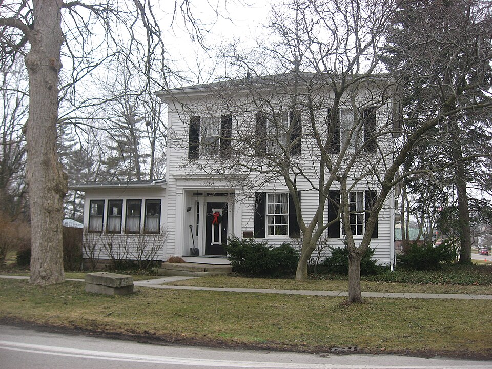
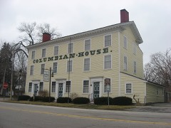
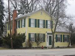
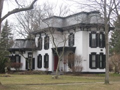
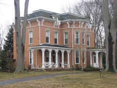
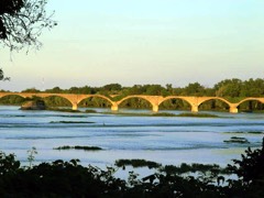
Listed on the National Register of Historic Places in
1975. A historic map-sheet match is not published yet. The record needs a coordinate-quality review before it can be joined to a sheet boundary.
From the record
one of 65 National Register listings in Lucas County · listed in 1975 · category: Building · one of 2 National Historic Landmarks in Lucas County.
National Register reference number.75001476- the number the National Park Service assigned this property when it was listed, and the key its nomination file is catalogued under at the National Archives.
Fires near this property
4 since 2002
Regional context, not property-specific
evidence. The
federal wildfire occurrence database
lists 4 fires within 5 miles of Morehouse-Downes House between
2002 and 2015, burning about 6 acres in total. None started naturally. None was recorded as arson.
Distance is straight-line from the map coordinates, so a fire counted
here may appear on a neighbouring settlement's page as well.
Reported cause
Fires
Recreation and ceremony
2
Smoking
1
Debris and open burning
1
The most recent of
them, most recent first, with the day each was reported and the service
that recorded it.
Regional context, not property-specific
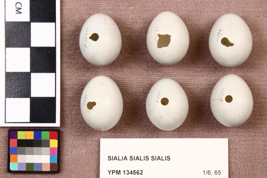
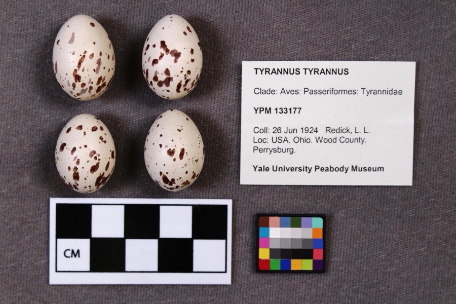
evidence. Museums hold 756 specimens
collected within 10 miles of Morehouse-Downes House between 1860 and
1975: 668 Animalia, 81 Plantae, 5 Fungi, 1 Unrecorded, 1 Chromista. 12 distinct Species records are shown.
Collected by A. D. Selby, A. Lose, A.E. Daugherty and others. Each is a
physical object with a catalogue
number, and each entry opens the museum's record. This is what was
collected and kept, not a survey of what lives here - nothing can be
concluded from a species being absent.
Regional context, not property-specific
evidence. The federal mineral resources record lists
4 workings within 5 miles of Morehouse-Downes House: 3 producers, 1 past producer.
3 still produce. What was taken out: Stone, Dimension, Limestone, General, Stone, Crushed/Broken. Distance is straight-line from the
map coordinates, so a quarry counted here may appear on a neighbouring
settlement's page as well.
Regional context, not property-specific
evidence. The National Weather Service names
Waterville, the town this property stands in, in 19 storm reports between 1998 and 2024: 13 thunderstorm wind, 5 hail, 1 flood.
No death or injury is recorded in these reports. Each account below is quoted exactly as the forecast office
filed it, from the NOAA Storm Events Database, and each date
opens the federal record of that event.
Heavy rain fell across many areas of northwestern Ohio during the first half of the week from August 19th through the 22nd. Some locations across northwest Ohio picked up between 5 and 10 inches of rain during this time. The Maumee River gage at Waterville showed that the river gradually rose through the day on the 20th and 21st, and then went above flood stage of 9.0 feet just before 7:00 pm on the 21st. The river continued to rise through the entire day of the 22nd and much of the day on the 23rd. The river finally crested during the evening of the 23rd at around 11.9 feet. Over the next several days the river slowly fell as it had to handle drainage from upstream rivers, including the Blanchard River. The river remained above flood stage for just over four and a half days, and finally fell below flood stage during the afternoon hours of August 26.
No historic map-sheet match is published
for this property yet. That does not mean no map exists. This record needs
a coordinate-quality review before it can be joined to a sheet boundary.
Browse the county's mapped places while that work is
pending.
From the nomination file
1,345 words on record
When this property was proposed for the
National Register, someone wrote the case for it: what the building is,
and why it matters. That document is a federal record in the public domain.
It is quoted below word for word, never summarised. The text was read off the scanned case file by machine, so the
occasional stray character is the recogniser's and the 1970s
typewriter's.
Description of the property
lights and has a three-part transom light.The windows are double-hung,6/6 pane and have shutters.There is a wide, panelled architrave and is flanked by pilasters and side- which curves along two walls.There is a guest bedroom behind The dining room is to the rear of the parlors.The in the left bay.The entrance is recessed behind a plain, The frame house is nearly square, two stories in height and PERIOD (Check One or More as Appropriate) - Pre-Columbian | - 20th Century SPECIFIC DATE(S) (If Applicable and Known) 1837 - Political - Religion/Phi- Other (Specify) - Science ] Sculpture ] Social/Human- - Theater - Transportation STATEMENT OF
Statement of significance
Waterville's oldest commercial street, the home was the Pekin Mill, a grist and saw mill, active during daughter who married Dr. Samuel Downs. The Downs family MAR 1 8 1975, Communications Architecture Engineering losophy Conservation Commerce REGISTER NATIONAL Aboriginal Military Literature Music Agriculture Landscape Prehistoric RECEIVED Invention itarian Waterville's canal era. Urban Planning Industry original Wabash Hotel and is just south of John Pray's This is indeed one of the finest Greek revival homes Education lived in the house until 1960. AREAS OF SIGNIFICANCE (Check One or More as Appropriate) 1828 Columbian House. Morehouse and James Brigham ran SIGNIFICANCE The house was purchased in 1870 by John Isham for his built by Lorenzo Morehouse in 1837 on the site of the
Quoted from the National Register nomination
for reference 75001476, 9 pages, held by the National Archives in Record
Group 79. See the
catalogue record.
Listed places nearby
6 within 8 miles
Other National Register properties close
enough to walk or drive between, ordered by distance from this one. Both
positions come from the same geocoding pass that matched these properties
to their map sheets.
Listing record. National Park Service National Register of Historic Places, listed-properties dataset, current to 2026-05-22.
Map join. Address geocoded through the United States Census geocoder, then tested against the published boundary of every sheet in the USGS Historical Topographic Map Collection.
How this page is made. Listing fields come from federal records; map-sheet coverage is a labelled coordinate-to-boundary calculation, not a source-field claim.
Wildfire. Short, Karen C. 2022. Spatial wildfire occurrence data for the United States, 1992-2020 [FPA_FOD_20221014]. 6th Edition. Fort Collins, CO: Forest Service Research Data Archive. https://doi.org/10.2737/RDS-2013-0009.6 Collected with United States Government funding and usable without additional permissions or fees.
Specimens. Global Biodiversity Information Facility (GBIF), https://www.gbif.org/. Only records licensed CC0 or CC BY are used. Records licensed CC BY-NC are excluded because this site carries advertising. Images are checked individually and any whose licence is non-commercial, no-derivatives or unreadable is refused.
Mines and quarries. USGS Mineral Resources Data System (MRDS) https://mrdata.usgs.gov/mrds/ A work of the United States government, no copyright under 17 U.S.C. 105.
Storms. NOAA National Centers for Environmental Information, Storm Events Database https://www.ncei.noaa.gov/stormevents/ A work of the United States government, no copyright under 17 U.S.C. 105. Narratives are quoted verbatim from the National Weather Service report and are not edited or summarised.
 Block
Block