BlockBefore
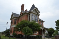
Decorative drawing: a county panorama. Not a photograph of this place.

Lucas County, Ohio

93 topographic sheets and 32 fire insurance atlases across 3 places.

Research this county

This curated hub for Lucas County, Ohio brings together the page's documented record links, visible map or image evidence where published, and routes to related local records.

What is documented here?

Use the page's provenance and linked records to distinguish the source material from the site's navigation and summaries.

How should I cite it?

Open the original record, preserve its repository and identifier, then use the citation tool for this page as a path back to the source.

Where should I go next?

Follow the county or state hub for related places and records, then use the guide for a source-aware research sequence.

From the record

65 National Register listings, of which 2 are National Historic Landmarks · 6 businesses named in the fire insurance atlases from 1919 to 1919 · the 1888 county history tells 0 stories and names 295 people · people the book names include Willard Ezra Allen (Toledo City, 1910) (machine-read).

Sources: the county history on the Internet Archive · the National Register database, National Park Service

Ohio within the United States
Lucas County within Ohio
Explore by year 1828 1963

What the record shows

  • 3 places in this county were surveyed for fire insurance: Toledo, Sylvania, Waterville, between 1888 and 1951.
  • 32 fire insurance atlas(es) survive for the county. Topographic coverage is national; fire insurance survey reached only incorporated places with something worth insuring.
  • 1,317 topographic sheet readings cover the county's settlements.
  • 65 properties here are on the National Register of Historic Places, including 3 historic districts, 20 houses and farms.
  • 34 of the 65 listings were added during the 1970s.
  • The Geographic Names Information System records 82 populated places in this county; 0 are covered by at least one topographic sheet.
  • 4 public-domain county histories, 1888 to 1923, supply 353,554 words of narrative reproduced here in full.

Photographs

44 photographs, 1941 to 2016

Taken for the Office of War Information and the Farm Security Administration, who photographed the country between 1935 and 1944. Works of United States government photographers, with no known restriction on use. Each opens its catalogue record.

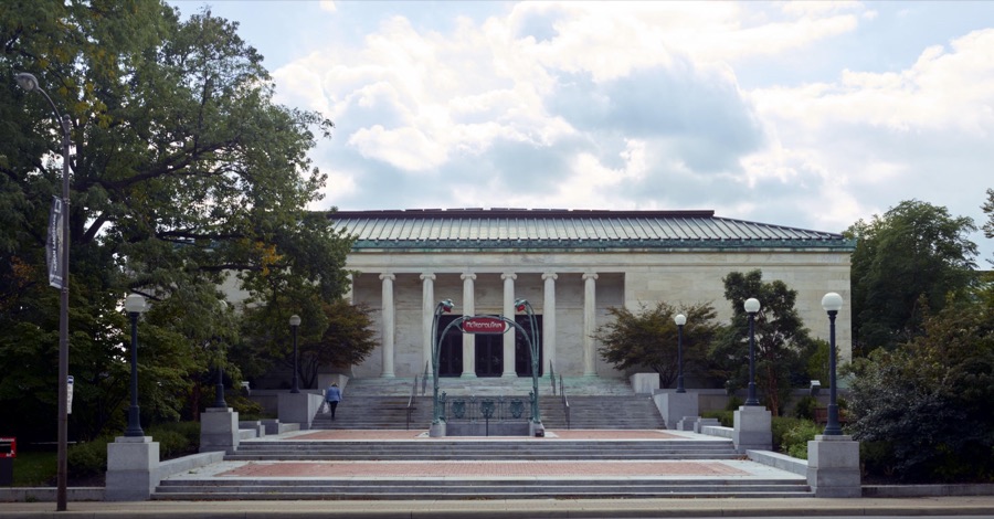
The Toledo Museum of Art in Toledo, Ohio was founded by Toledo glassmaker Edward Drummond Libbey in 1901 and moved to its current location, a Greek-revival building designed by Edward B. Green and Harry W. Wachter, in 1912
Highsmith, Carol M, 2016. Library of Congress
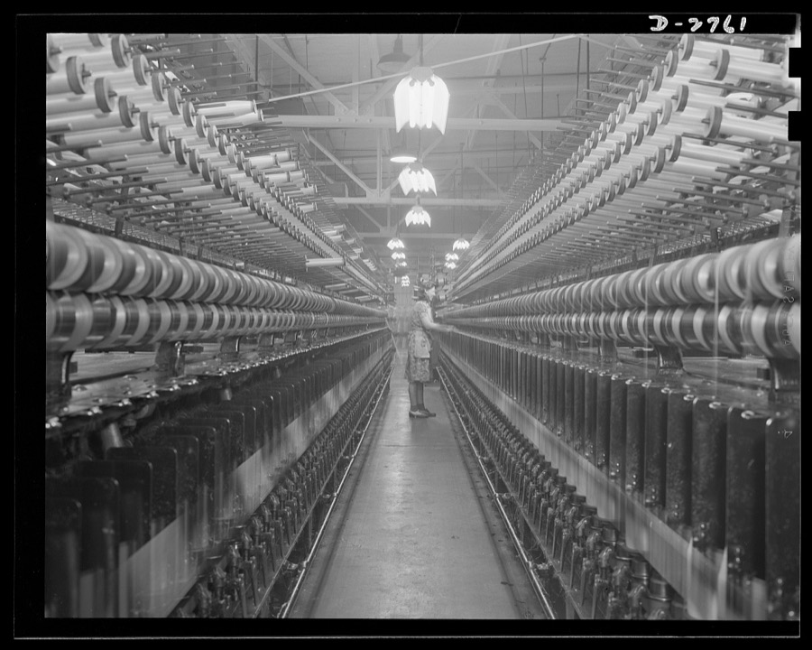
Fiberglass manufacture, Owens-Corning, Toledo, Ohio. Fiberglass yarns are twisted and plied on standard textile machinery as a step in the manufacture of tapes and cloths, used principally to insulate electric equipment operating under heavier loads today than ever before
Palmer, Alfred T., photographer, 1942. Library of Congress
The Toledo Museum of Art in Toledo, Ohio was founded by Toledo glassmaker Edward Drummond Libbey in 1901 and moved to its current location, a Greek-revival building designed by Edward B. Green and Harry W. Wachter, in 1912
Highsmith, Carol M, 2016. Library of Congress
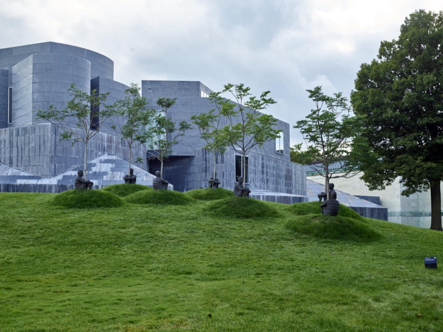
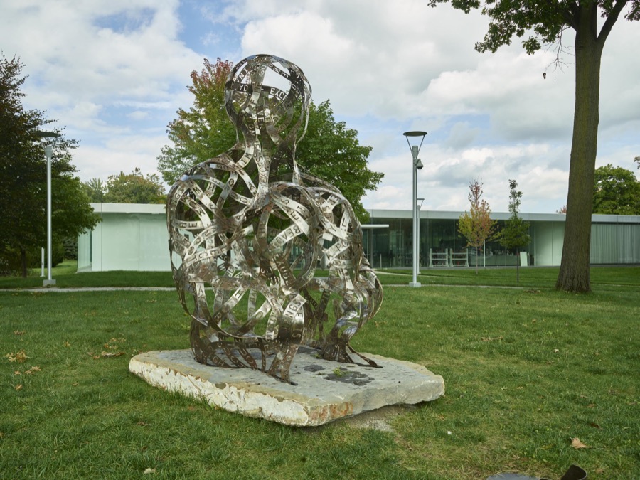
Part of the "Human Landscape" exhibition of works by Spanish artist Jaume Plensa at the Toledo Museum of Art
Highsmith, Carol M, 2016. Library of Congress
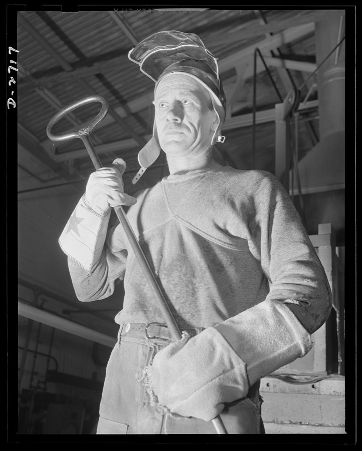
Fiberglass manufacture, Owens-Corning, Toledo, Ohio. In a plant of the Owens-Corning Fiberglass Corporation, a worker stands ready with his iron ladle to transport molten glass from the furnace to the machine that forms it into glass marbles from which it is converted into glass fibers. As one of the men behind the men behind the guns, his work is an essential step in the production of fiberglass yarns being used in a wide variety of military and naval applications
Palmer, Alfred T., photographer, 1942. Library of Congress
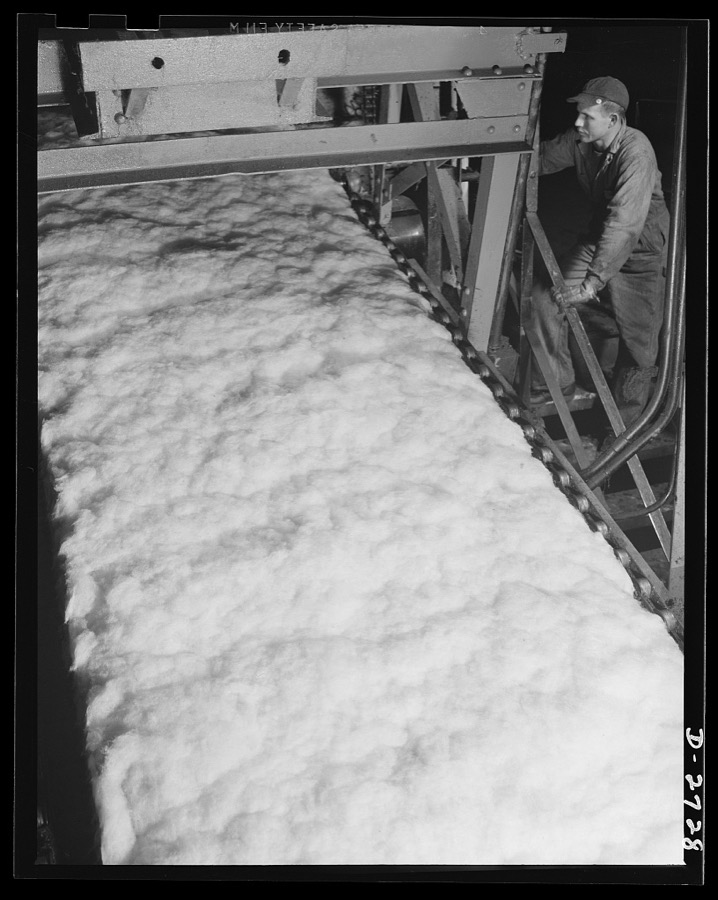
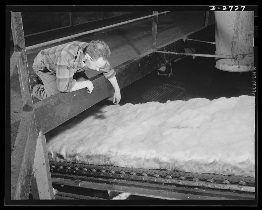
Fiberglass manufacture, Owens-Corning, Toledo, Ohio. In a resilient, lightweight blanket of interlaced fibers, fiberglass thermal insulation is carried along from the furnaces where it is produced to be packaged or further fabricated into the forms required by Army and Navy specifications
Palmer, Alfred T., photographer, 1942. Library of Congress
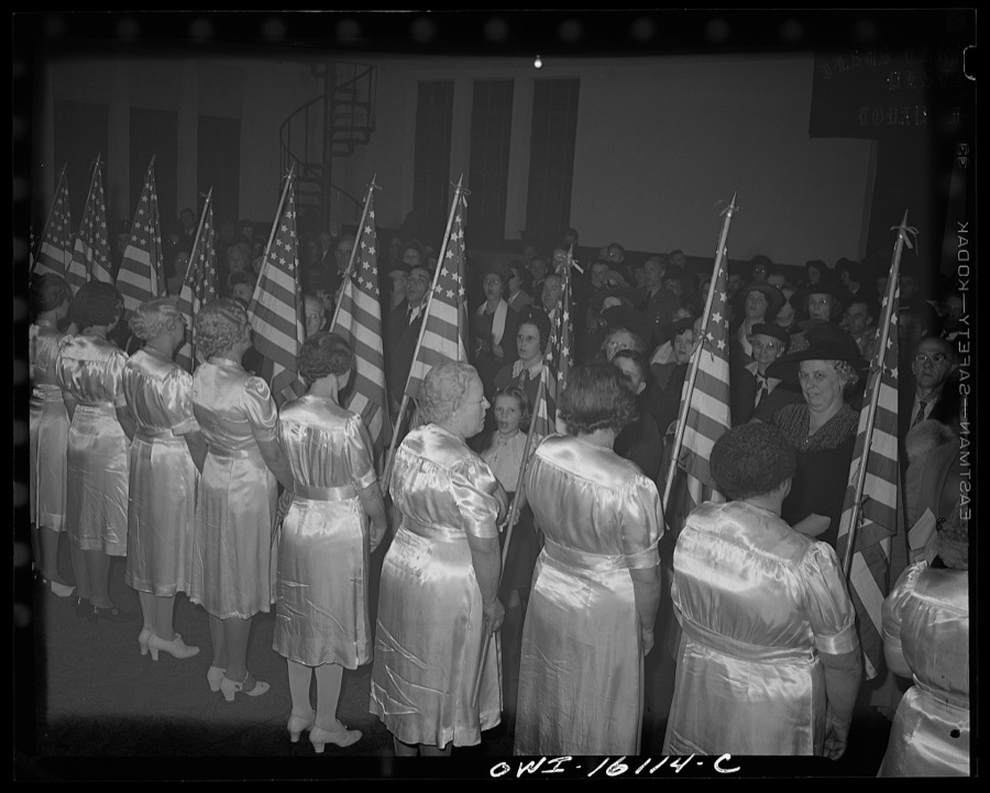
Toledo, Ohio. Evangelical church ceremony at which the preacher delivered a hysterical speech, and then burned a copy of Hitler's Mein Kampf. Sisters in satin dresses carrying American flags
Siegel, Arthur S., photographer, 1942. Library of Congress
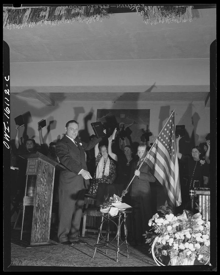
Toledo, Ohio. Evangelical church ceremony at which the preacher delivered a hysterical speech, and then burned a copy of Hitler's Mein Kampf. Preacher with the Bible, Mein Kampf burning, and a boy with the American flag
Siegel, Arthur S., photographer, 1942. Library of Congress
Fiberglass manufacture, Owens-Corning, Toledo, Ohio. Side view of a glass furnace melting the carefully compounded batch required for the production of fiberglass thermal insulation being installed in the hulls of naval vessels now under construction
Palmer, Alfred T., photographer, 1942. Library of Congress
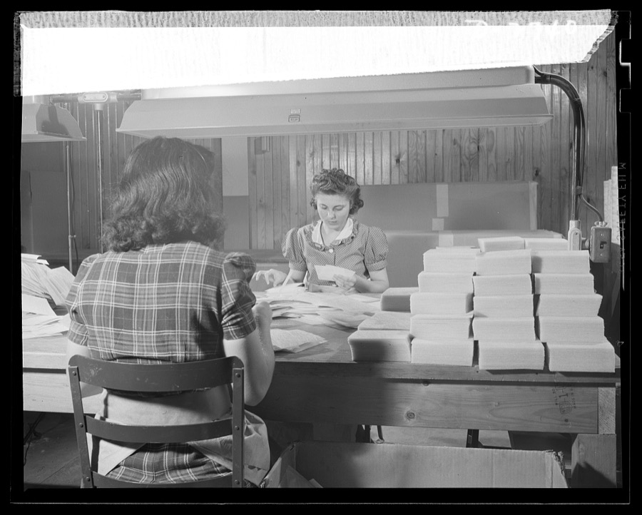
Fiberglass manufacture, Owens-Corning, Toledo, Ohio. Pretty worker in a paint shop of the Owens-Corning Fiberglass Corporation is cutting wafer-thin bonded mats of glass fiber for use as retainer mats in storage batteries supplied under Army and Navy specifications for storage batteries in submarines, tanks, and rough-riding reconnaisance cars
Palmer, Alfred T., photographer, 1942. Library of Congress
Fiberglass manufacture, Owens-Corning, Toledo, Ohio. Fiberglass metal mesh blankets made of glass fiber thermal insulation sandwiched between facings of metal mesh are being installed around a boiler in the powerhouse of a plant of the Owens-Corning Fiberglass Corporation
Palmer, Alfred T., photographer, 1942. Library of Congress
Part of the "Human Landscape" exhibition of works by Spanish artist Jaume Plensa at the Toledo Museum of Art
Highsmith, Carol M, 2016. Library of Congress
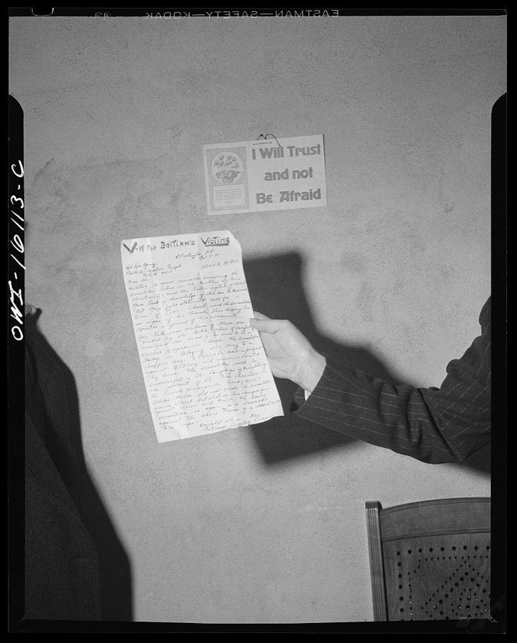
Toledo, Ohio. Copy of the anti-British letter shown at an Evangelical church ceremony at which the preacher delivered a hysterical speech, and then burned a copy of Hitler's Mein Kampf
Siegel, Arthur S., photographer, 1942. Library of Congress
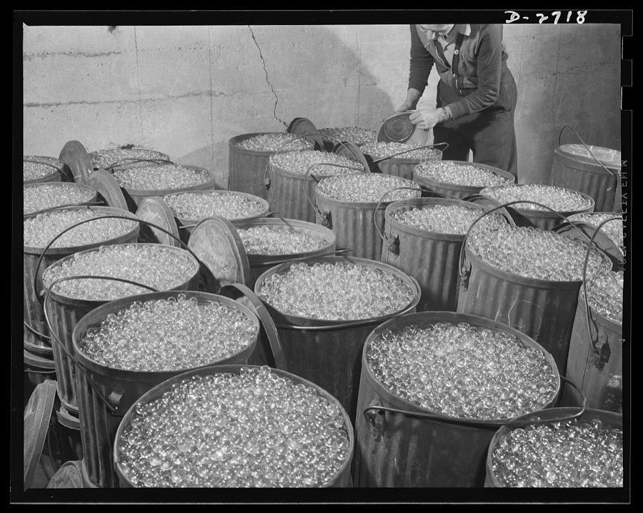
Fiberglass manufacture, Owens-Corning, Toledo, Ohio. Millions of carefully inspected glass marbles, ready for remelting and forming into glass filaments. A single marble can be drawn into a continuous filament so fine that it would reach from New York to Philadelphia. More than one hundred filaments must be drawn together to make the finest workable strand
Palmer, Alfred T., photographer, 1942. Library of Congress
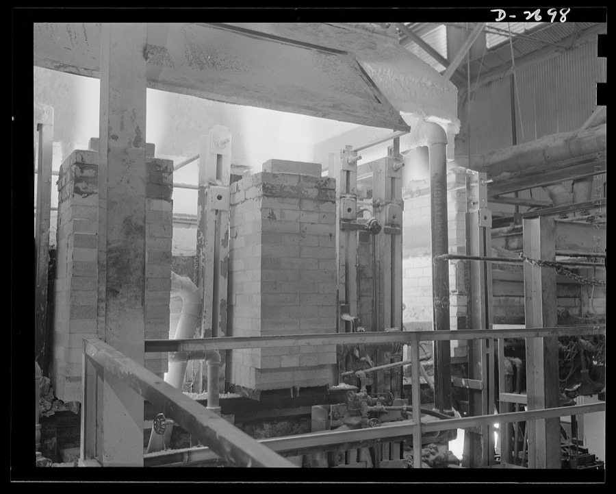
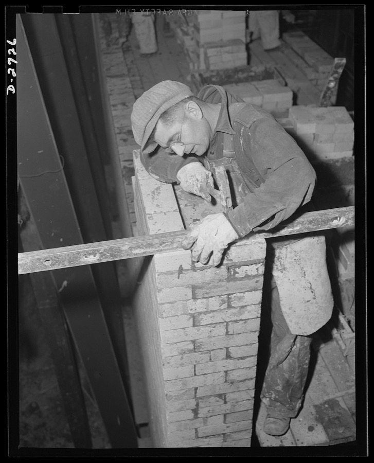
Fiberglass manufacture, Owens-Corning, Toledo, Ohio. To increase productive capacity and meet war demands for fiberglass thermal and acoustical insulation, workmen in a plant of the Owens-Corning Fiberglass Corporation are laying firebrick. This is the first step in the construction of one of the huge furnaces required for glass-melting
Palmer, Alfred T., photographer, 1942. Library of Congress
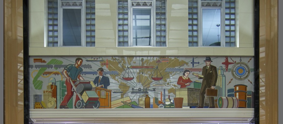
One of several sleek glass Vitrolite-tile glass murals from the mid-20th Century that epitomized the ultramodern look, lining the 1940 core building of the Toledo-Lucas County Public Library in Toledo, Ohio, which added a modernist wing in 2001
Highsmith, Carol M, 2016. Library of Congress
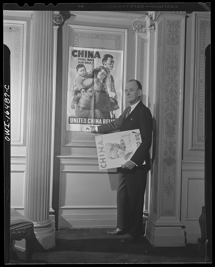
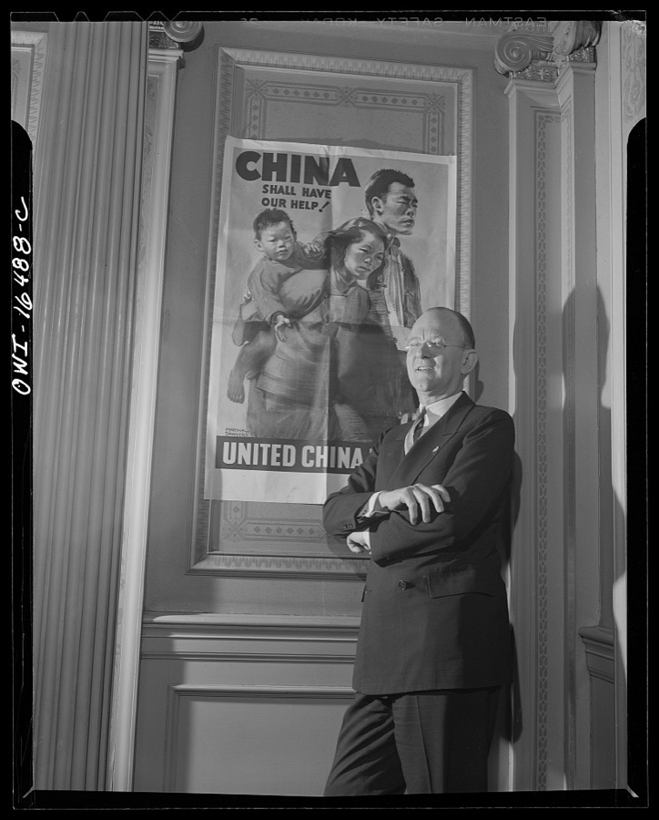
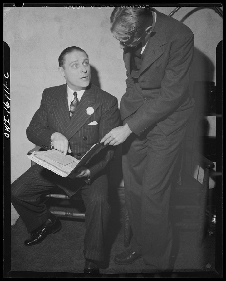
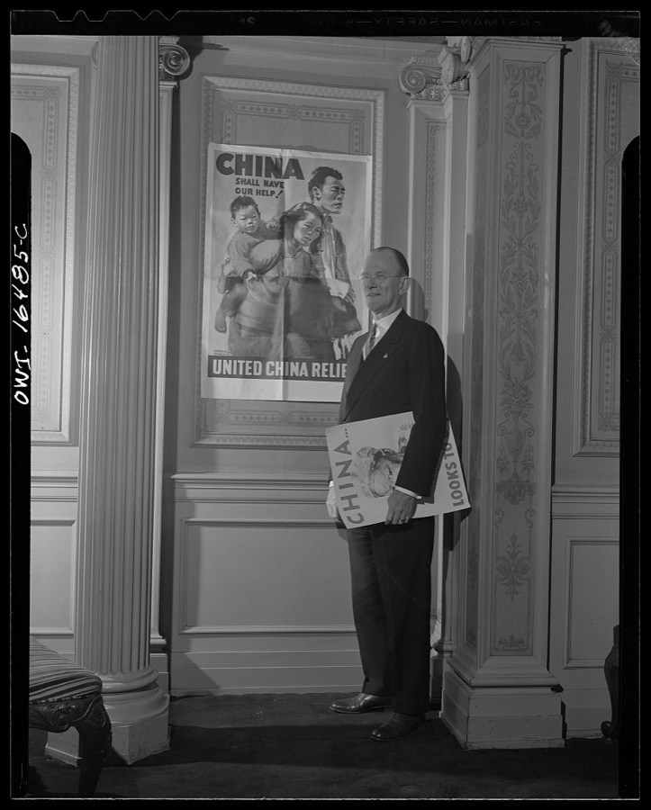
Toledo, Ohio. Ward Canaday, a millionaire, head of China Relief in Toledo, with a Chinese war relief poster
Siegel, Arthur S., photographer, 1942. Library of Congress
Toledo, Ohio. Ward Canaday, a millionaire, head of China Relief in Toledo, with a Chinese war relief poster
Siegel, Arthur S., photographer, 1942. Library of Congress
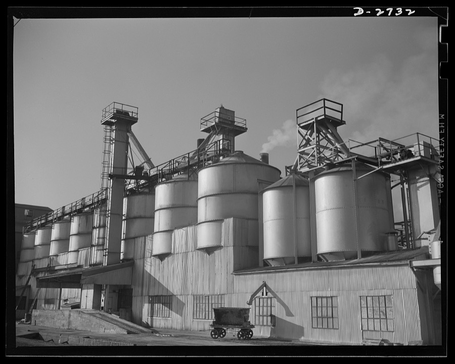
Fiberglass manufacture, Owens-Corning, Toledo, Ohio. Section of the batch house at a plant of the Owens-Corning Fiberglass Corporation. In the bins are stored the raw materials for the batch from which fiberglass materials vital to the war effort are produced
Palmer, Alfred T., photographer, 1942. Library of Congress
Fiberglass manufacture, Owens-Corning, Toledo, Ohio. Wafer-thin sheets of bonded glass fiber are cut to size, inspected and packaged by workers like these in a plant of Owens-Corning Fiberglass Corporation. They are retainer mats being supplied under Army and Navy specifications for storage batteries in submarines, tanks, and rough-riding reconnaisance cars
Palmer, Alfred T., photographer, 1942. Library of Congress
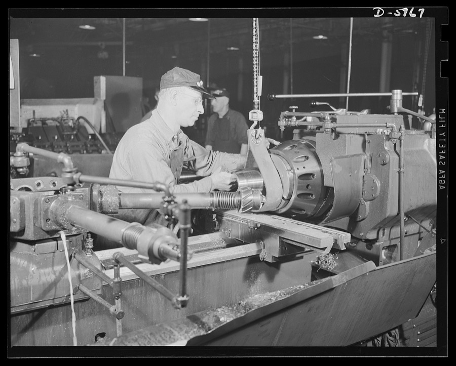
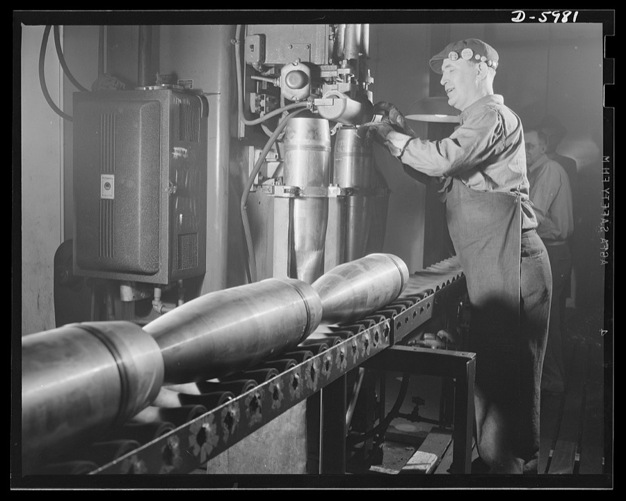
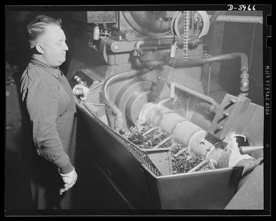
Production. 155mm shells. Boring the burster tube recess of 155mm shell on a Denver lathe in a converted auto plant. Willy's, Toledo, Ohio
Palmer, Alfred T., photographer, 1941. Library of Congress
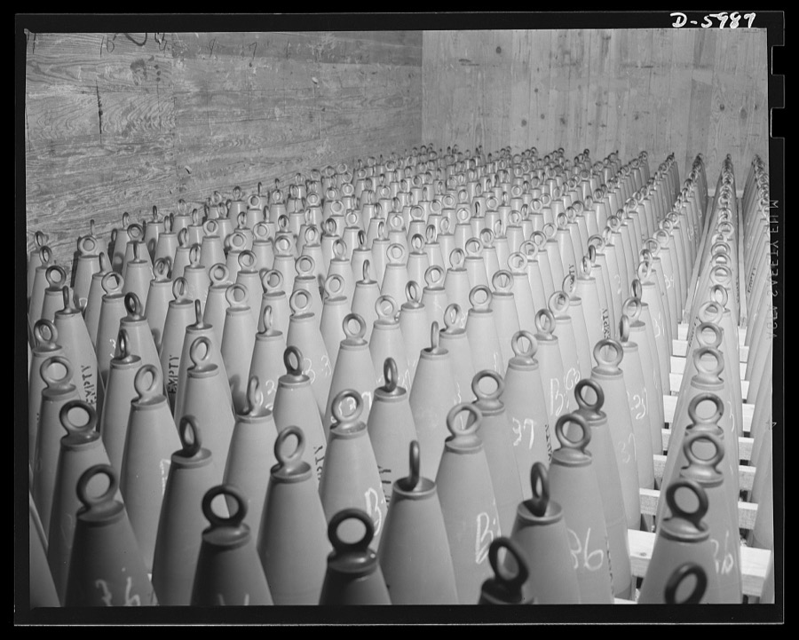
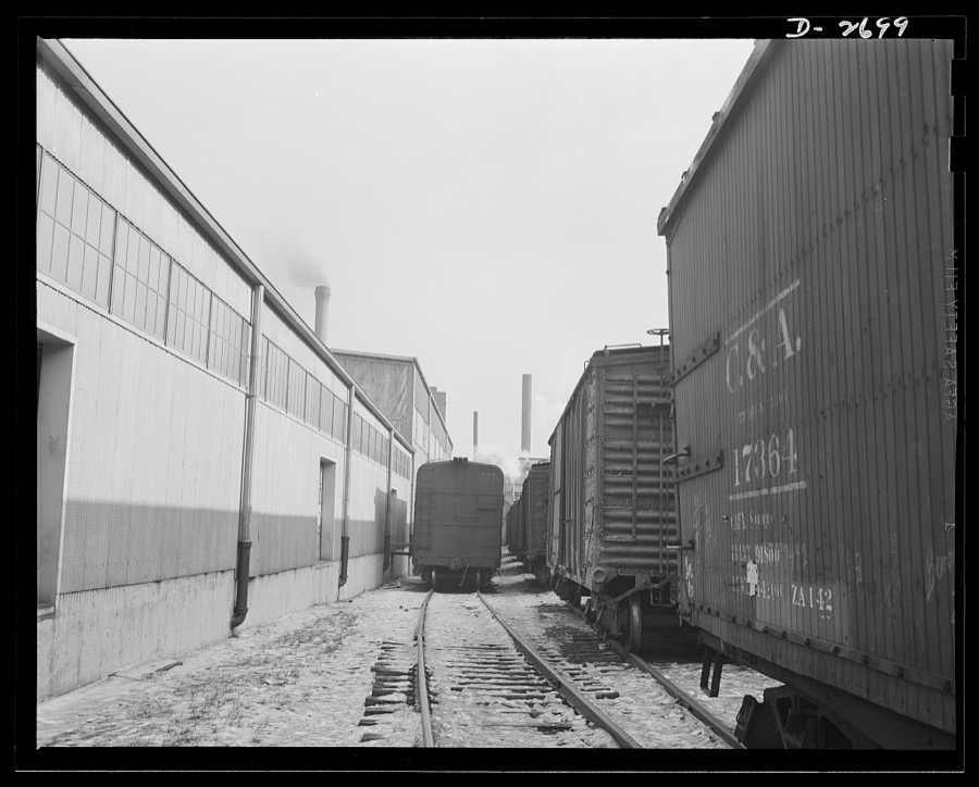
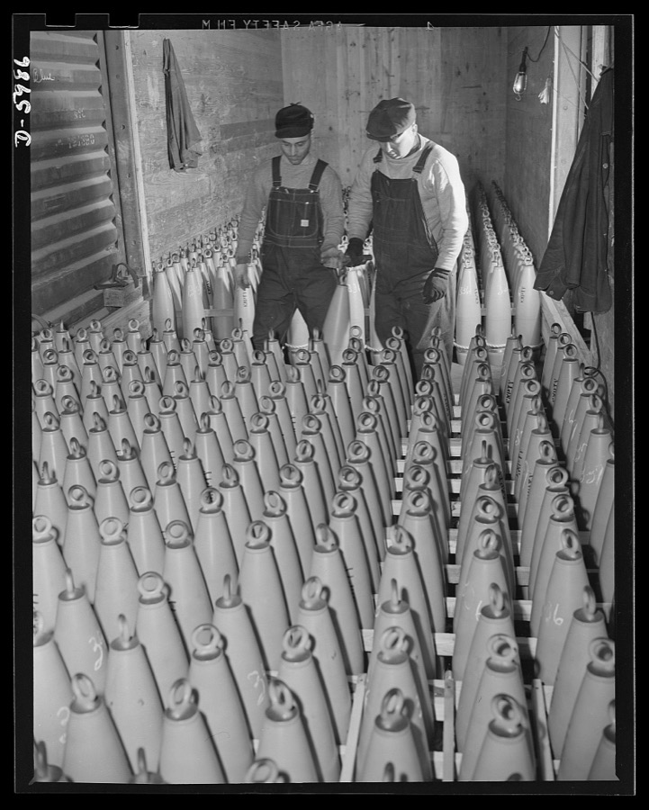
Production. 155mm shells. A carload of 155mm shell bodies ready for shipment from the converted auto plant in which they were made. They will be taken to loading plants where they will be filled with propelling and explosive charges. Willy's, Toledo, Ohio
Palmer, Alfred T., photographer, 1941. Library of Congress
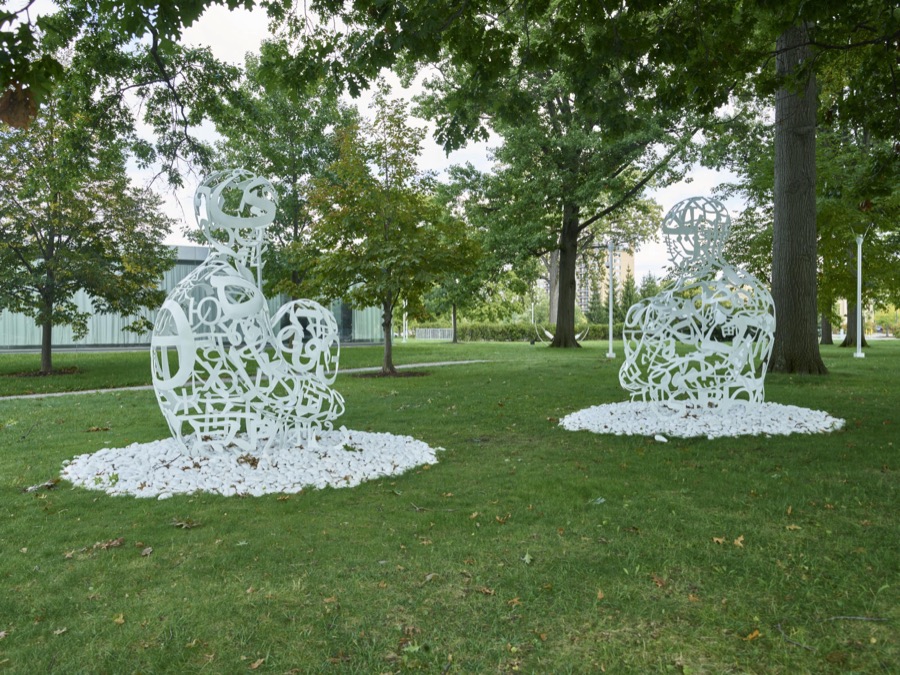
Spanish artist Jaume Plensa's 2014 "The Soul of Words I & II" sculptures outside the Toledo Museum of Art in Toledo, Ohio
Highsmith, Carol M, 2016. Library of Congress
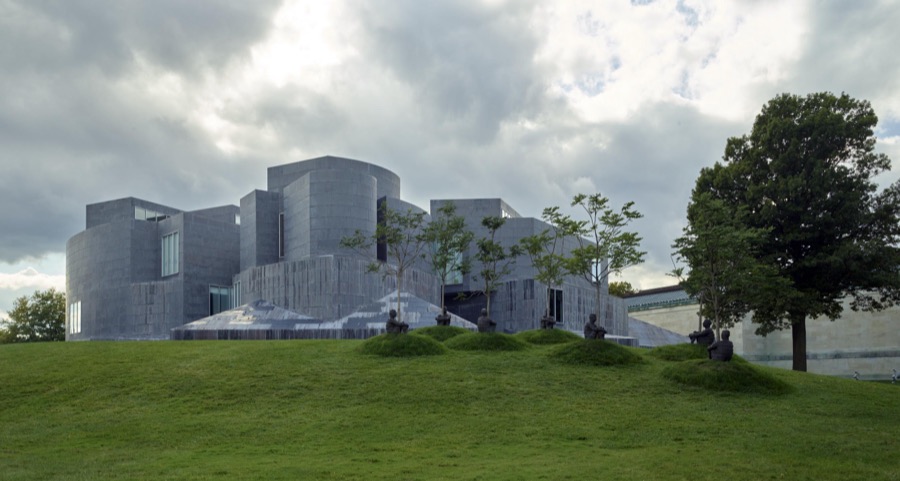
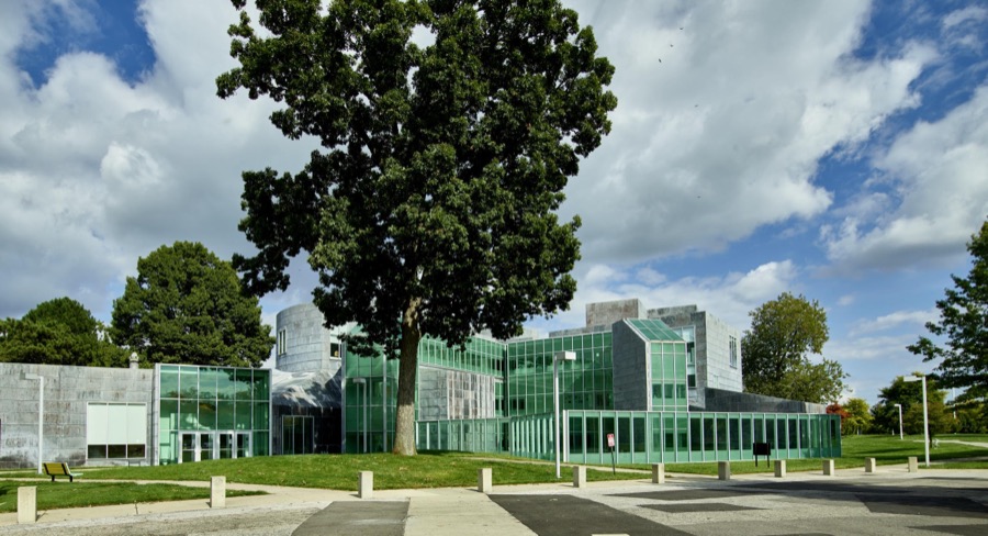
The 1993 Center for the Visual Arts, a four-story building, designed by architect Frank O. Gehry, is home to the University of Toledo's Department of Art
Highsmith, Carol M, 2016. Library of Congress
Toledo, Ohio. Evangelical church ceremony at which the preacher delivered a hysterical speech, and then burned a copy of Hitler's Mein Kampf. Preacher with burned copy of Mein Kampf in one hand and the Bible in the other
Siegel, Arthur S., photographer, 1942. Library of Congress
Production. 155mm shells. Welding base cover plates of 155mm shells on a Thomson-Gibb welder in a converted auto plant. Willy's, Toledo, Ohio
Palmer, Alfred T., photographer, 1941. Library of Congress
Fiberglass manufacture, Owens-Corning, Toledo, Ohio. At the loading dock in a Midwest warehouse, some seventy-five percent carloads of fiberglass materials are shipped daily to supply shipyards, electrical manufacturers, and other war industries
Palmer, Alfred T., photographer, 1942. Library of Congress
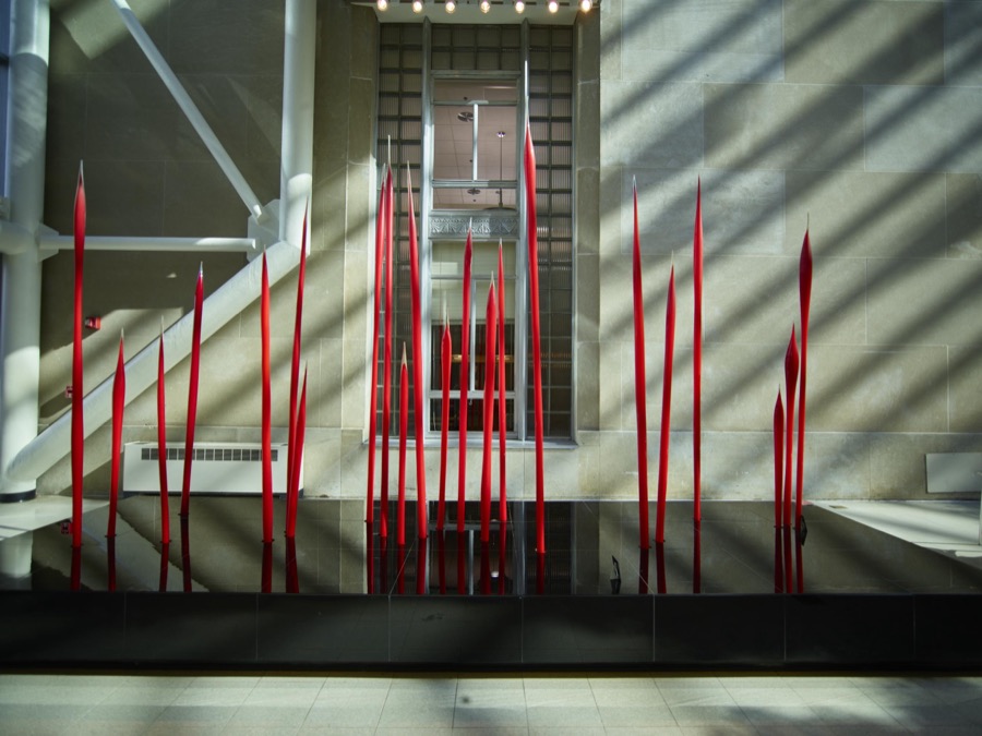
Dale Chihuly's modernist sculpture, "The Reeds," inside the Toledo-Lucas County Public Library in Toledo, Ohio, which has both a 1940 historic core and a 2001 modernist architectural addition
Highsmith, Carol M, 2016. Library of Congress
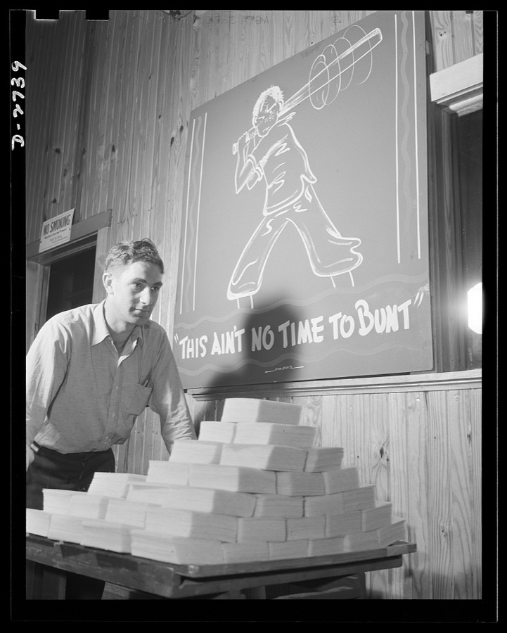
Fiberglass manufacture, Owens-Corning, Toledo, Ohio. "This is ain't no time to bunt." And this workman at a plant of Owens-Corning Fiberglass Corporation is batting out a hit by speeding carefully inspected packs of fiberglass retainer mats to the shipping department. These are supplied under Army and Navy specifications for storage batteries, to be used in submarines, tanks, and rough-riding reconnaisance cars
Palmer, Alfred T., photographer, 1942. Library of Congress
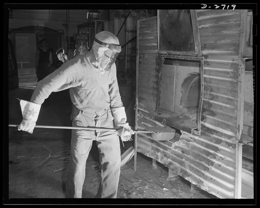
Fiberglass manufacture, Owens-Corning, Toledo, Ohio. This worker is ladling white-hot molten glass from a furnace in a plant of the Owens-Corning Fiberglass Corporation. When viscosity of the molten glass is at the point required by rigid quality control specifications, it will be used to form glass marbles from which glass yarns are drawn in another operation
Palmer, Alfred T., photographer, 1942. Library of Congress
Fiberglass manufacture, Owens-Corning, Toledo, Ohio. In a resilient, lightweight blanket of interlaced fibers, fiberglass thermal insulation is carried along from the furnaces where it is produced to be packaged or further fabricated into the forms required by Army and Navy specifications
Palmer, Alfred T., photographer, 1942. Library of Congress
Spanish artist Jaume Plensa's 2013 "Thoughts" sculpture outside the Toledo Museum of Art in Toledo, Ohio
Highsmith, Carol M, 2016. Library of Congress
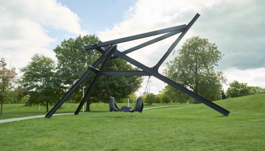
Mark di Suvero's 1980 metal-and-rubber sculpture, "Blubber," outside the Toledo Museum of Art in Toledo, Ohio
Highsmith, Carol M, 2016. Library of Congress
The Toledo Museum of Art in Toledo, Ohio was founded by Toledo glassmaker Edward Drummond Libbey in 1901 and moved to its current location, a Greek-revival building designed by Edward B. Green and Harry W. Wachter, in 1912
Highsmith, Carol M, 2016. Library of Congress
Production. 155mm shells. The first rough turn on a 155mm shell forging is done on a Curtis lathe in a converted auto plant. In this operation, the forging is cut to length and the base end is faced. Willy's, Toledo, Ohio
Palmer, Alfred T., photographer, 1941. Library of Congress
Production. 155mm shells. Loading 155mm shell bodies for shipment to loading plants where they will be filled with propelling and explosive charges. Willy's, Toledo, Ohio
Palmer, Alfred T., photographer, 1941. Library of Congress
Toledo, Ohio. Ward Canaday, a millionaire, head of China Relief in Toledo, with a Chinese war relief poster
Siegel, Arthur S., photographer, 1942. Library of Congress
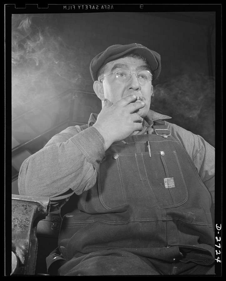
Fiberglass manufacture, Owens-Corning, Toledo, Ohio. A machine maintenance man in a plant of the Owens-Corning Fiberglass Corporation enjoys a smoke as he goes off the shift
Palmer, Alfred T., photographer, 1942. Library of Congress
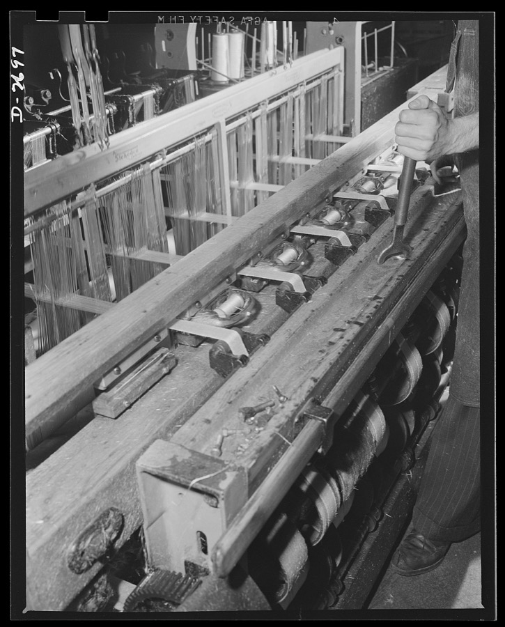
Fiberglass manufacture, Owens-Corning, Toledo, Ohio. Miles and miles of all-glass tape are woven on looms like this one in New England and the South, as well as in plants of Owen-Corning Fiberglass Corporation, to meet urgent war production demands for fiberglass electrical insulation
Palmer, Alfred T., photographer, 1942. Library of Congress
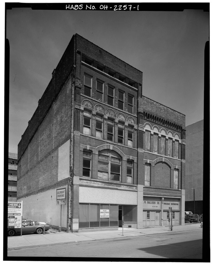
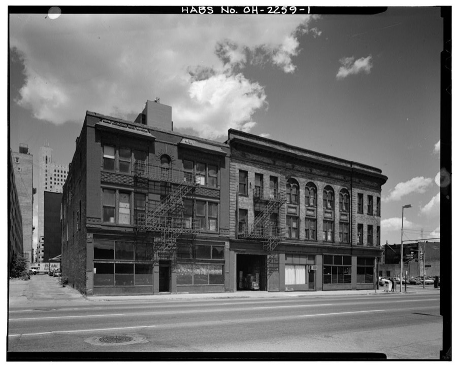
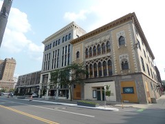
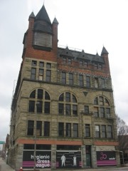
Lockwood-Coghlin Buildings, 119 & 121-123 Saint Clair Street, Toledo, Lucas County, OH
Unattributed, . Library of Congress
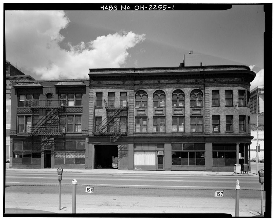
Wheeler Block, 402 Monroe Street & 109-111 Saint Clair Street, Toledo, Lucas County, OH
Unattributed, . Library of Congress
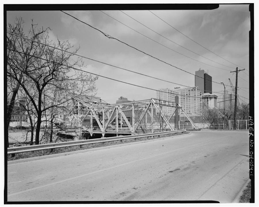
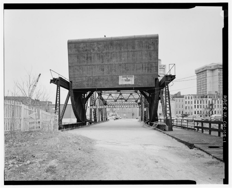
Washington Street Bridge, Spanning Swan Creek (former Miami & Erie Canal), Toledo, Lucas County, OH
Unattributed, . Library of Congress
Monroe Street Bridge, Spanning Swan Creek (former Miami & Erie Canal), Toledo, Lucas County, OH
Unattributed, . Library of Congress
Swiss Hall, 410-412 Monroe Street, Toledo, Lucas County, OH
Unattributed, . Library of Congress

Places on the National Register

65

Every property in this county listed on the National Register of Historic Places, with the year it was listed and the federal nomination document.

Photograph PropertyType ListedReference
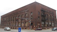
Ashland Avenue Baptist Churchbuilding198080003144
B'nai Israel Synagoguebuilding200505001145
Berdan Buildingbuilding197575001468
Brand, R., and Companybuilding197575001469
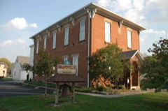
Brandville Schoolbuilding199494000595
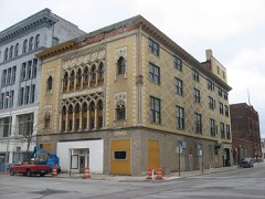
Burt's Theaterbuilding197777001074
Bush Street Historic Districtdistrict198282003609
Central YMCAbuilding198282003610
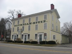
Columbian Housebuilding196969000146
Commodore Perry Hotelbuilding199797001240
East Side Commercial Blockbuilding197676001473
Eckenrode And Breisach Housesbuilding197878002120
Fallen Timbers Battlefieldsite196666000616
First Church of Christ, Scientistbuilding197878002125
First Presbyterian Church Of Maumee Chapelbuilding197373001498
Forsythe--Puhl Housebuilding198989000429
Fort Industry Squaredistrict201973001501
Gendron, Peter, Housebuilding198383002001
Gillett-Shoemaker-Welsh Housebuilding197575001474
Governor's Innbuilding197474001557
Griswold, Peck, Housebuilding197878002121
Hanson Housebuilding197878002122
Haskins, Liberty Whitcomb, Housebuilding197575001475
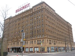
Hillcrest Hotelbuilding199898001179
House Of Four Pillarsbuilding197373001499
Hull, Isaac, Storebuilding197878002123
Hull-Wolcott Housebuilding197070000506
Interurban Bridgestructure197272001036
Ira Apartmentsbuilding199696000868
Isham, John, Housebuilding198282005388
Lasalle, Koch and Company Department Storebuilding199595001001
Libbey, Edward D., Housebuilding198383004379
Lucas County Courthouse and Jailbuilding197373002295
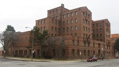
Lucas County Hospital and Nurse's Homebuilding199797001224
Ludwig, Isaac R., Historical Milldistrict197474001558
Maumee Theaterbuilding199898000318
Morehouse-Downes Housebuilding197575001476
Neukom, Albert, Housebuilding197171000644
Ohio Theatrebuilding200606000198
Old Central Post Officebuilding197272001030
Ontario Buildingbuilding2018100003209
Pray-Starkweather Housebuilding197575001477
Providence Historic Districtdistrict197575001467
Pythian Castlebuilding197272001032
Reed, Henry, Jr., Housebuilding197878002124
Riverviewbuilding201212000394
Riverview Apartmentsbuilding198383002002
Saint Peter and Saint Paul Historic District--Oliver's Second additiondistrict198787000465
Secor Hotelbuilding197676001475
Secor, Joseph K., Housebuilding197979003108
Spitzer Buildingbuilding198383002004
St. Patrick's Catholic Churchbuilding197272001033
Standart-Simmons Hardware Companybuilding197575001472
Succesful Salesbuilding197171000645
The Broer-Freeman Buildingbuilding2020100005856
Toledo Clubbuilding197878002127
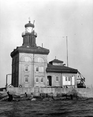
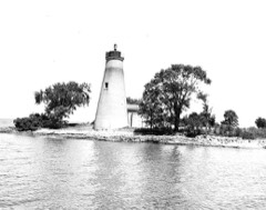
Toledo Harbor Lightstructure198383002005
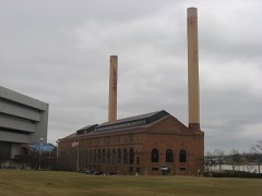
Toledo Traction Company Power Stationbuilding200303000555
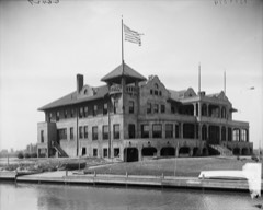
Toledo Yacht Clubbuilding197676001476
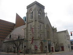
Trinity Episcopal Churchbuilding198383004317
United States Courthouse and Custom Housebuilding201313000501
Valentine Theater Buildingbuilding198787000686
Waterville Commercial Districtdistrict197676001477
West Sister Island Lightstructure198383002006
Wright, Dr. John A., Housebuilding197878002129

Covered bridges

0

Lucas County holds 0 covered bridges on the National Register, more than any other property type here. Each is a listed structure with a federal nomination on file.

Digitised newspapers

9 issues

Sampled issues, machine-read from the Library of Congress scan and published page by page, so every headline and column is searchable text.

Toledo Union Journal

Toledo, Ohio, 1942 to Current. Machine-read from the Library of Congress scan.

Toledo

Toledo, Ohio, 1931 to 1971. Machine-read from the Library of Congress scan.

Toledo Hungarian-American Weekly

Toledo, Ohio, 1930 to 1931. Machine-read from the Library of Congress scan.

Bird's-eye views and land ownership maps

5

Drawn when these were printed as single large sheets: the town seen from the air, and the county divided into its farms with every owner named. Each opens the original at the Library of Congress.

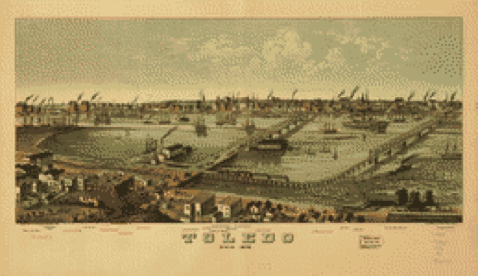
Bird's-eye view, 1876 - Toledo, Ohio 1876
Bird's-eye view (1876) - Toledo, Ohio 1876. Library of Congress.
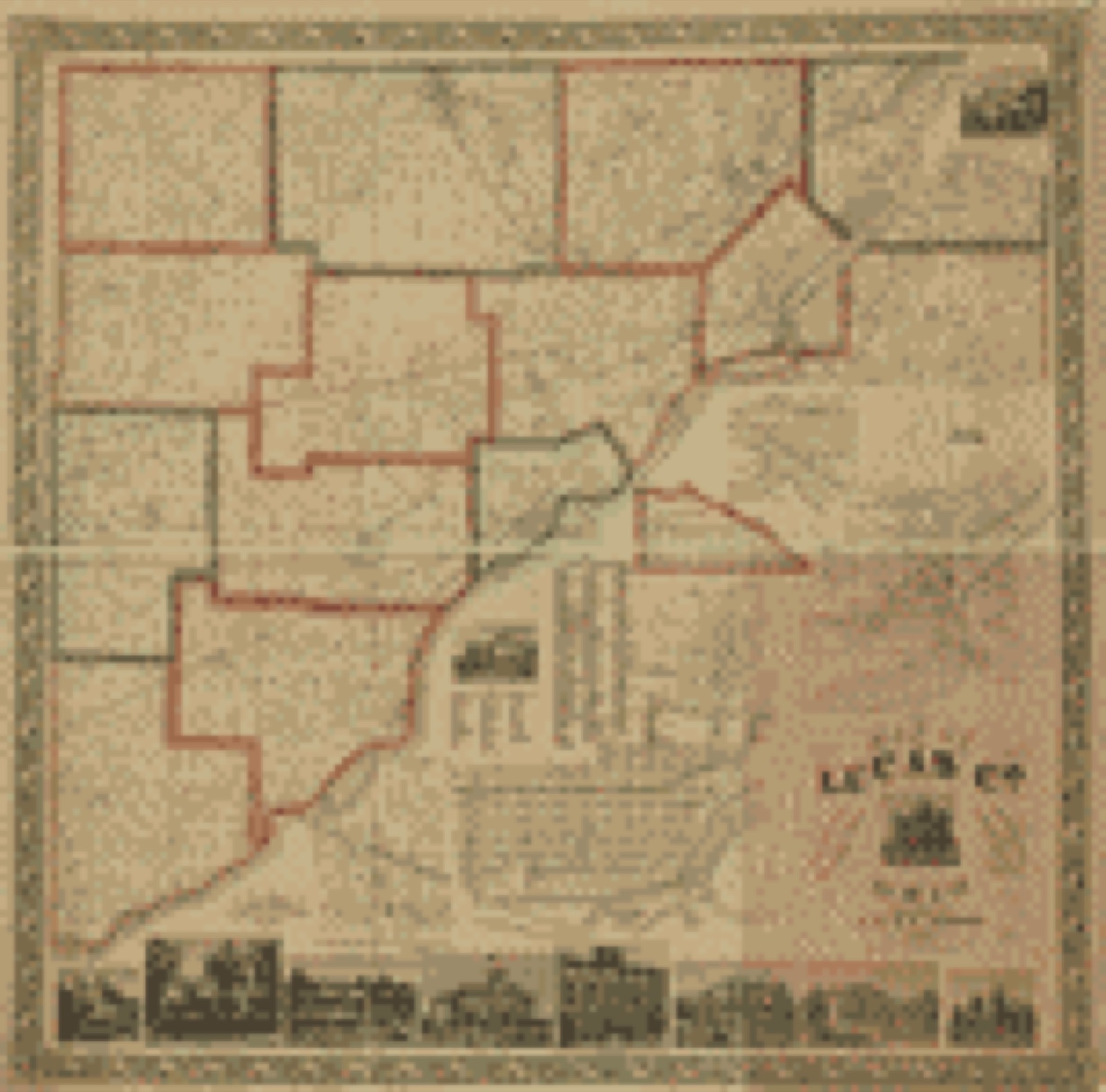
Land ownership map, 1861 - Map of Lucas Co., Ohio
Land ownership map (1861) - Map of Lucas Co., Ohio. Library of Congress.
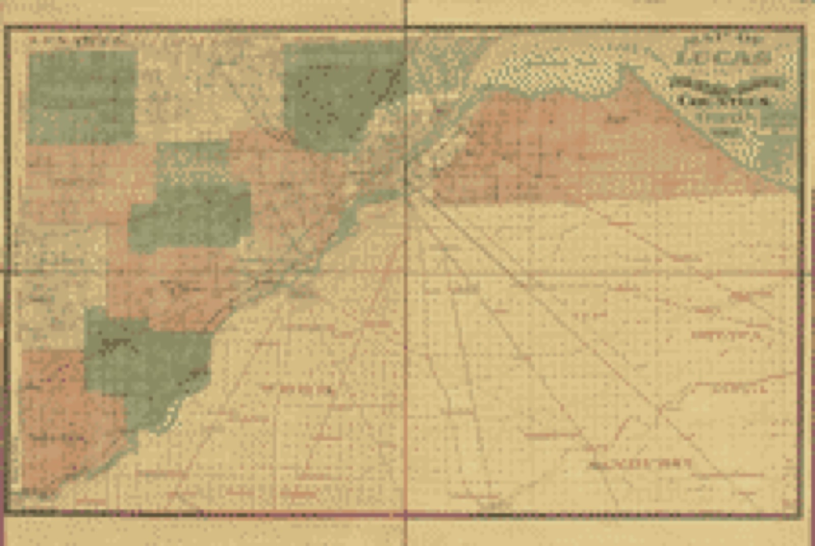
Land ownership map, 1888 - Map of Lucas and parts of Wood, Ottawa and Sandusky Counties, Ohio
Land ownership map (1888) - Map of Lucas and parts of Wood, Ottawa and Sandusky Counties, Ohio. Library of Congress.
Land ownership map, 1896 - Map of Lucas County, Ohio
Land ownership map (1896) - Map of Lucas County, Ohio. Library of Congress.
Land ownership map, 1896 - Map of Lucas County, Ohio
Land ownership map (1896) - Map of Lucas County, Ohio. Library of Congress.

Photographs from libraries nationwide

16 of 213 shown

Selected from the Digital Public Library of America's 213 image records catalogued for this county. Every one shown here carries a public-domain status or a licence that permits reuse on a site that carries advertising; non-commercial, share-alike and restricted images are excluded. The selection is spread across the county's towns (at most eight per town), so no single institution's bulk upload crowds out the rest. Each opens the holding library's record, and the complete set at the Digital Public Library of America is one click away.

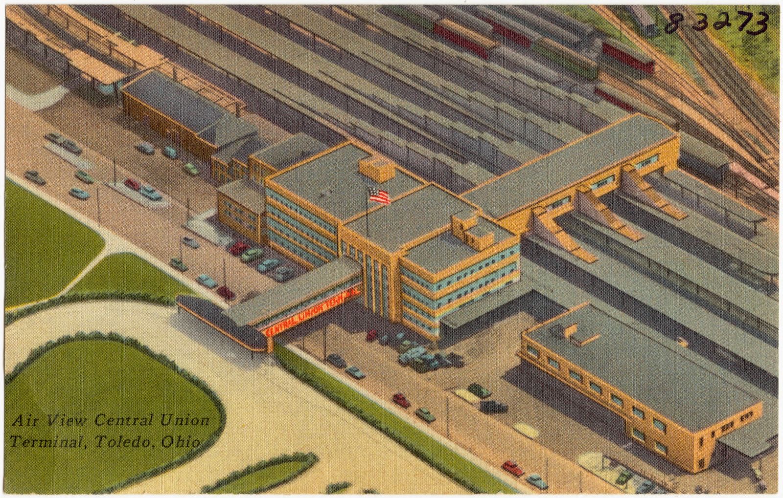
Air view Central Union Terminal, Toledo, Ohio, Boston Public Library - undated
Air view Central Union Terminal, Toledo, Ohio. Boston Public Library, via the Digital Public Library of America.
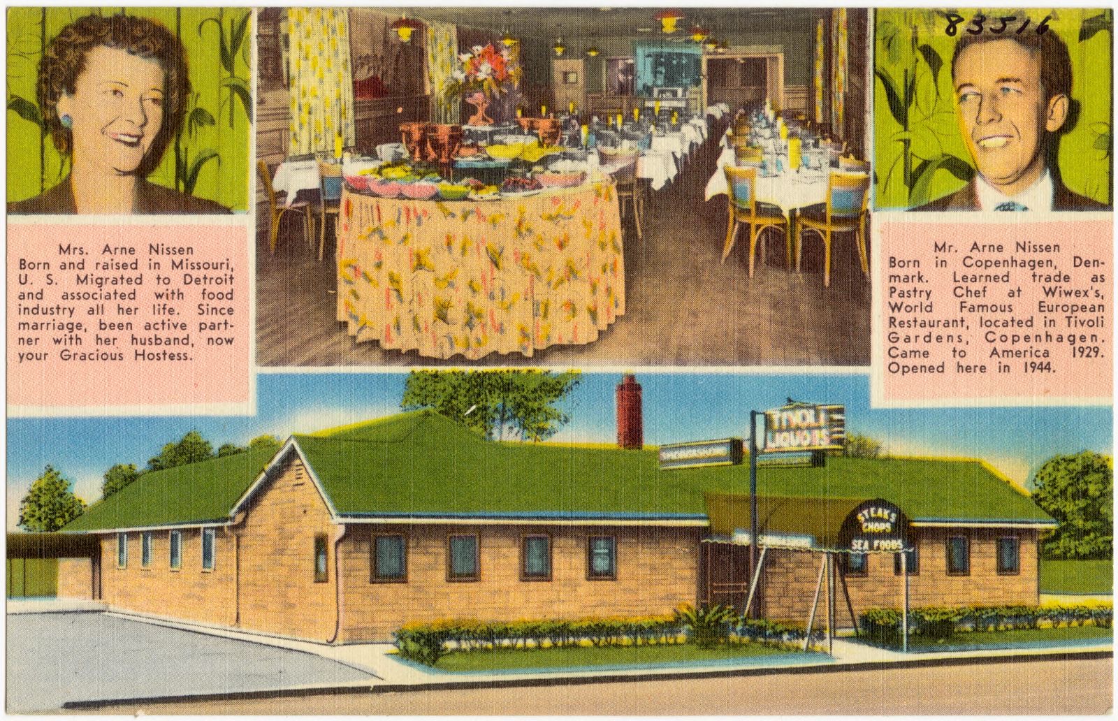
Mr. and Mrs. Arne Nissen's Tivoli Smorgasbord Restaurant and Cocktail Lounge, Boston Public Library - undated
Mr. and Mrs. Arne Nissen's Tivoli Smorgasbord Restaurant and Cocktail Lounge. Boston Public Library, via the Digital Public Library of America.
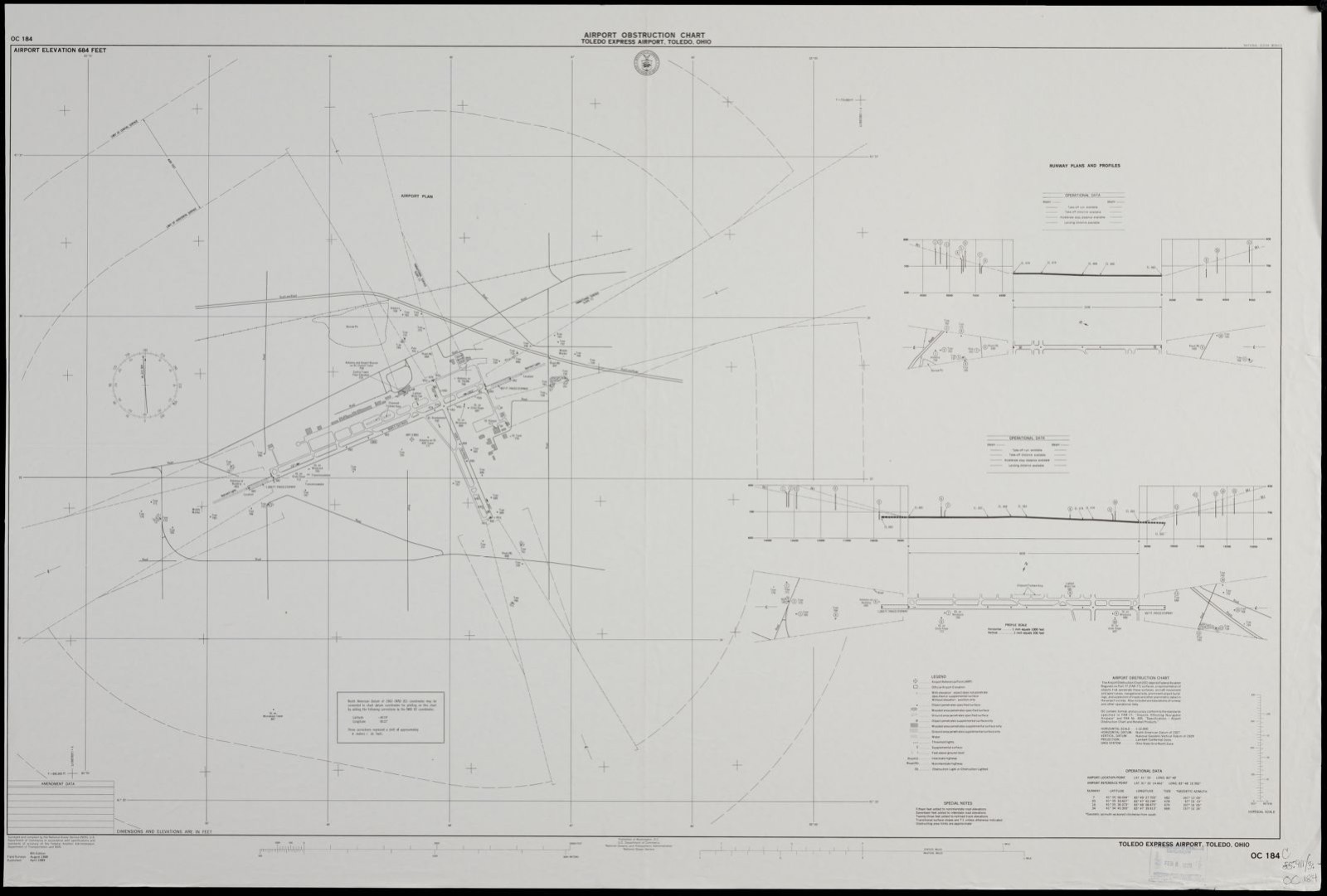
Airport obstruction chart OC 184, Toledo Express Airport, Toledo, Ohio, Boston Public Library - undated
Airport obstruction chart OC 184, Toledo Express Airport, Toledo, Ohio. United States. National Ocean Service, Boston Public Library, via the Digital Public Library of America.
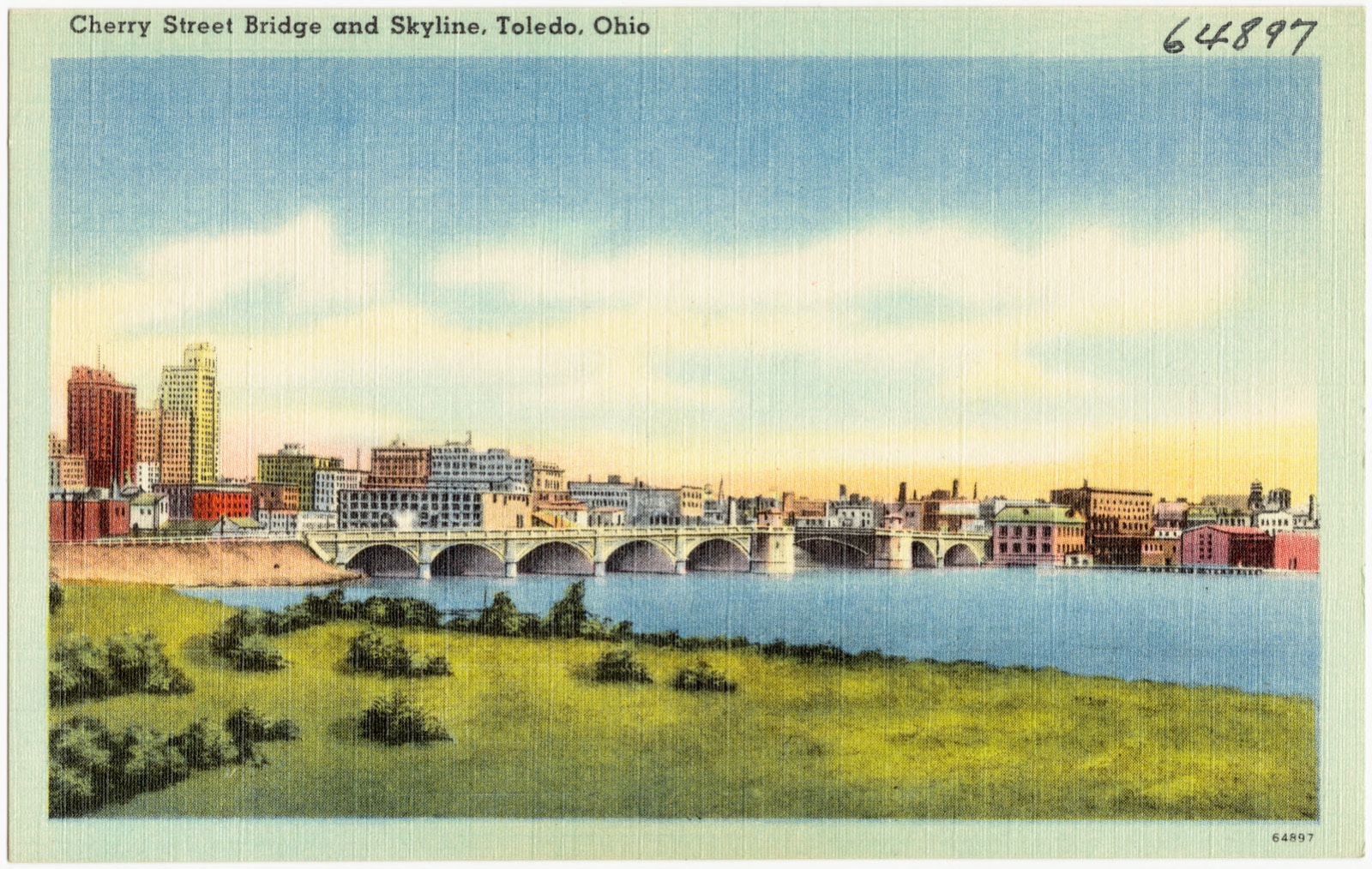
Cherry Street Bridge and skyline, Toledo, Ohio, Boston Public Library - undated
Cherry Street Bridge and skyline, Toledo, Ohio. Boston Public Library, via the Digital Public Library of America.
Welcome, Toledo, Boston Public Library - undated
Welcome, Toledo. Boston Public Library, via the Digital Public Library of America.
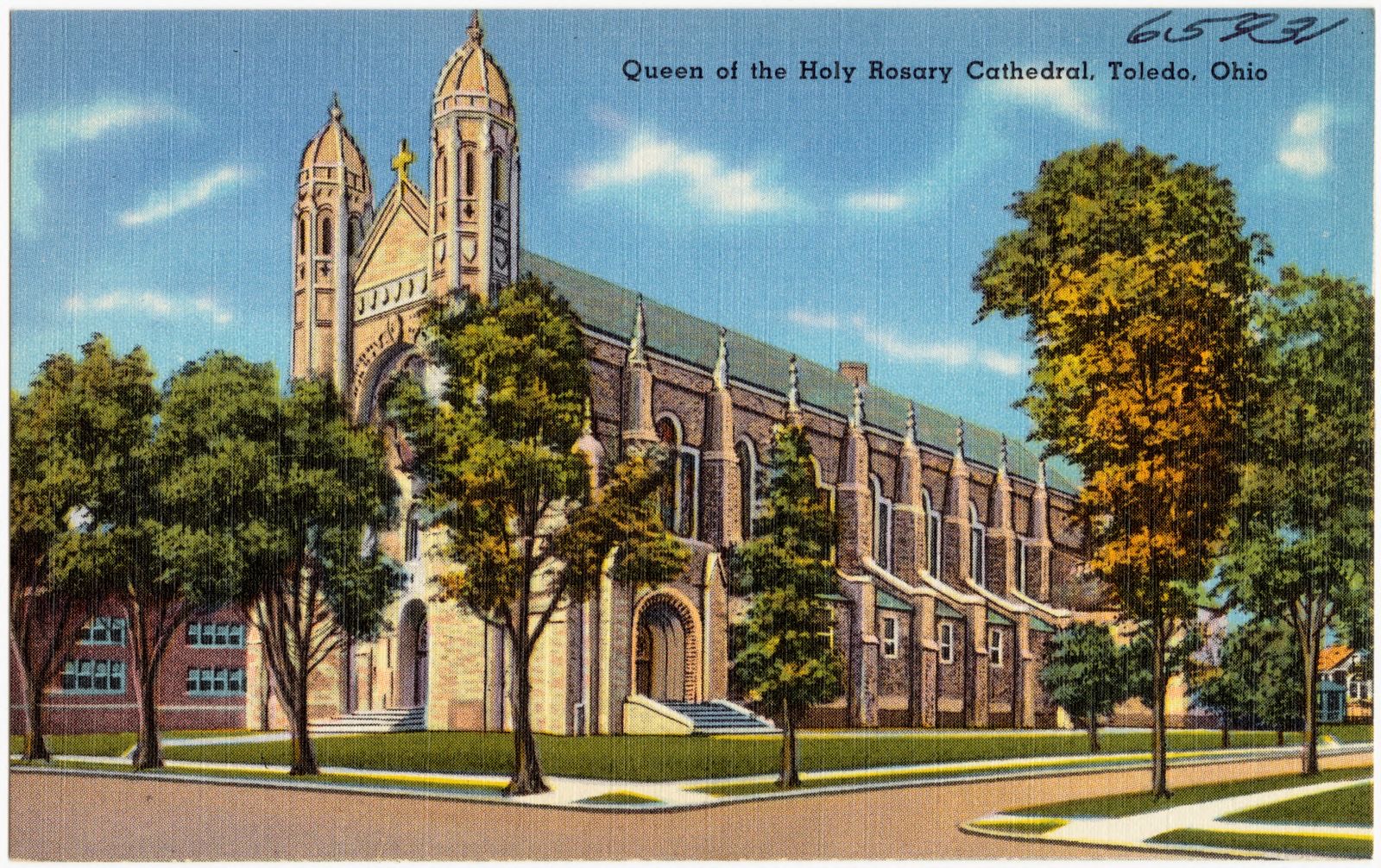
Queen of the Holy Rosary Cathedral, Toledo, Ohio, Boston Public Library - undated
Queen of the Holy Rosary Cathedral, Toledo, Ohio. Boston Public Library, via the Digital Public Library of America.
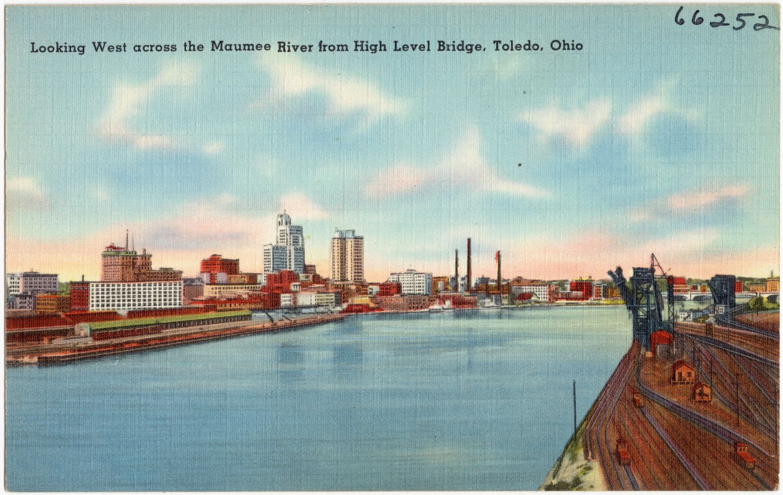
Looking west across the Maumee River from high level bridge, Toledo, Ohio, Boston Public Library - undated
Looking west across the Maumee River from high level bridge, Toledo, Ohio. Boston Public Library, via the Digital Public Library of America.
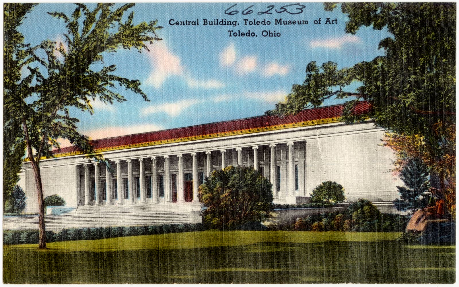
Central building, Toledo Museum of Art, Toledo, Ohio, Boston Public Library - undated
Central building, Toledo Museum of Art, Toledo, Ohio. Boston Public Library, via the Digital Public Library of America.
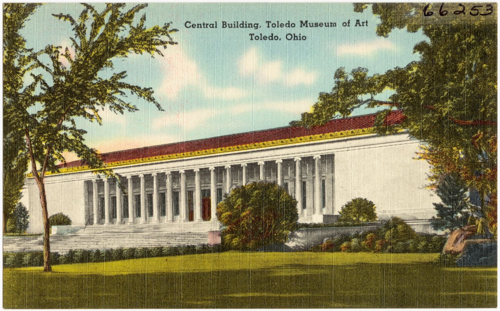
Central building, Toledo Museum of Art, Toledo, Ohio, Boston Public Library - undated
Central building, Toledo Museum of Art, Toledo, Ohio. Boston Public Library, via the Digital Public Library of America.
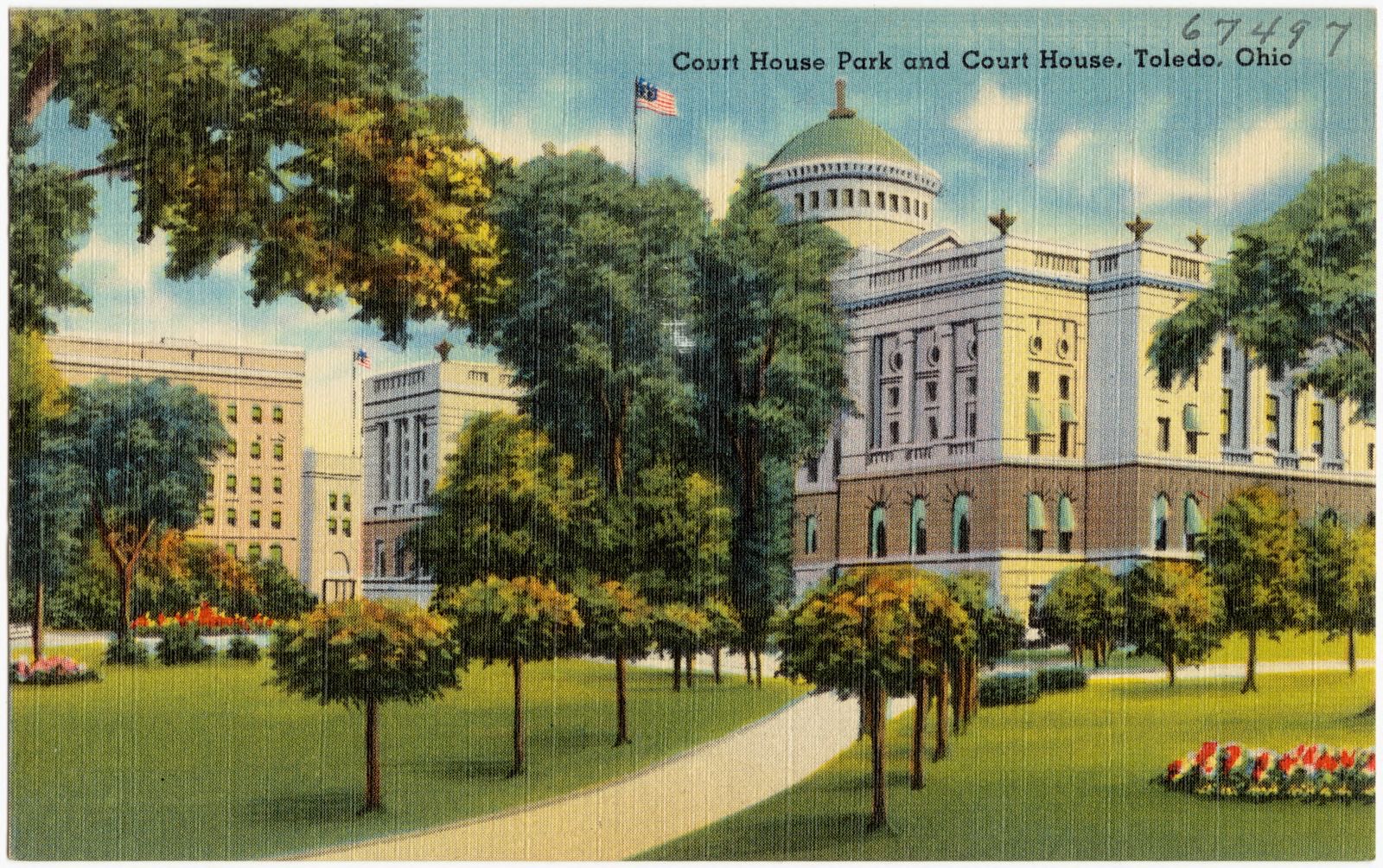
Court House Park and Court House, Toledo, Ohio, Boston Public Library - undated
Court House Park and Court House, Toledo, Ohio. Boston Public Library, via the Digital Public Library of America.
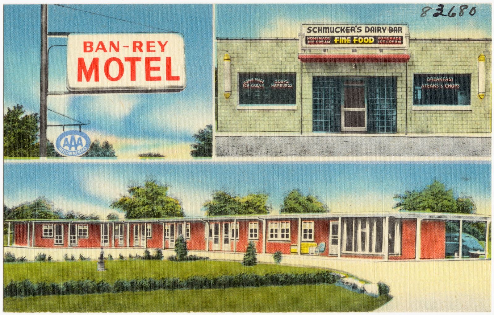
Ban-Rey Motel and Schmucker's Restaurant, Boston Public Library - undated
Ban-Rey Motel and Schmucker's Restaurant. Boston Public Library, via the Digital Public Library of America.
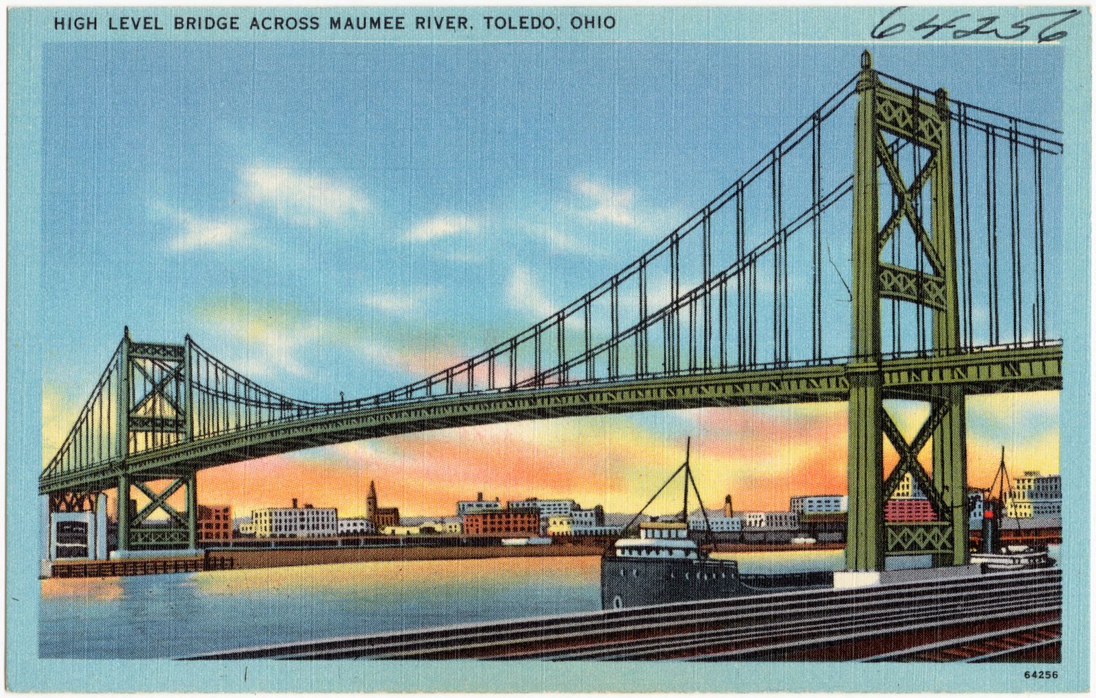
High level bridge across Maumee River, Toledo, Ohio, Boston Public Library - undated
High level bridge across Maumee River, Toledo, Ohio. Boston Public Library, via the Digital Public Library of America.
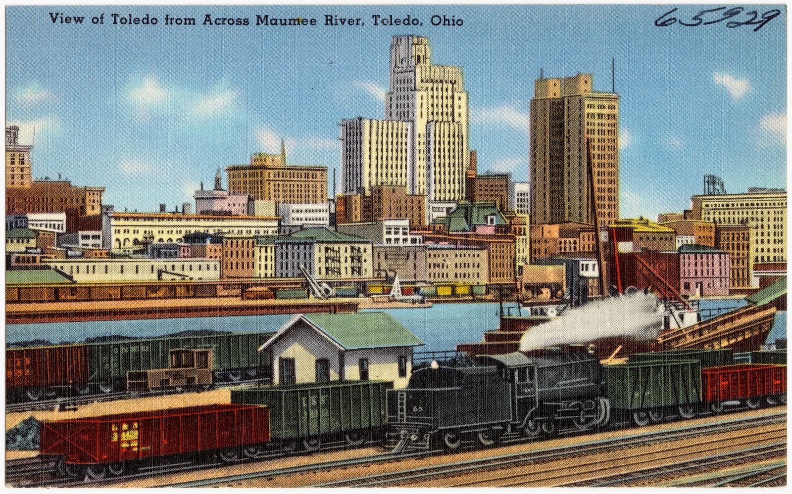
View of Toledo from across Maumee River, Toledo, Ohio, Boston Public Library - undated
View of Toledo from across Maumee River, Toledo, Ohio. Boston Public Library, via the Digital Public Library of America.
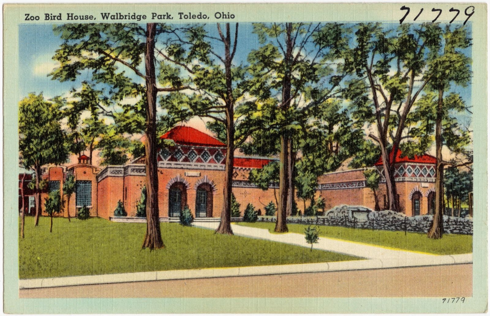
Zoo Bird House, Walbridge Park, Ohio, Boston Public Library - undated
Zoo Bird House, Walbridge Park, Ohio. Boston Public Library, via the Digital Public Library of America.
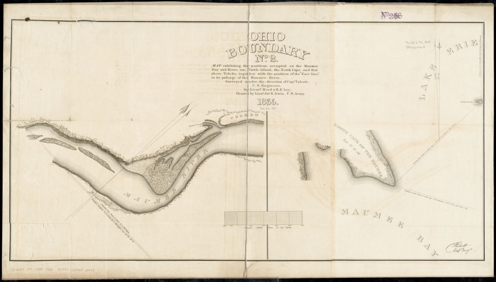
Ohio boundary no. 2 map exhibiting the positions occupied on the Maumee Bay and river: viz: Turtle Island, the North Cape, and that above Toledo, together with the position of the "east line," in its passage of the Maumee River surveyed under the direction of Capt. Talcott, U.S. Engineers, by Lieuts. Hood & R.E. Lee, Boston Public Library - undated
Ohio boundary no. 2 map exhibiting the positions occupied on the Maumee Bay and river: viz: Turtle Island, the North Cape, and that above Toledo, together with the position of the "east line," in its passage of the Maumee River surveyed under the direction of Capt. Talcott, U.S. Engineers, by Lieuts. Hood & R.E. Lee. Irwin, James R., -1848, Boston Public Library, via the Digital Public Library of America.
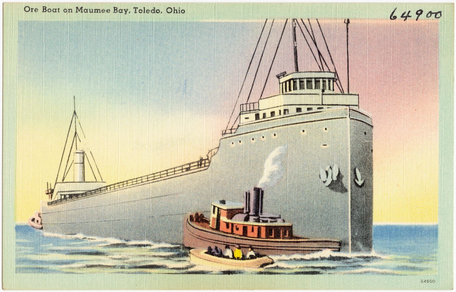
Ore boat on Maumee Bay, Toledo, Ohio, Boston Public Library - undated
Ore boat on Maumee Bay, Toledo, Ohio. Boston Public Library, via the Digital Public Library of America.

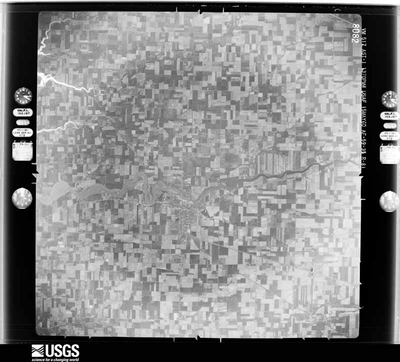
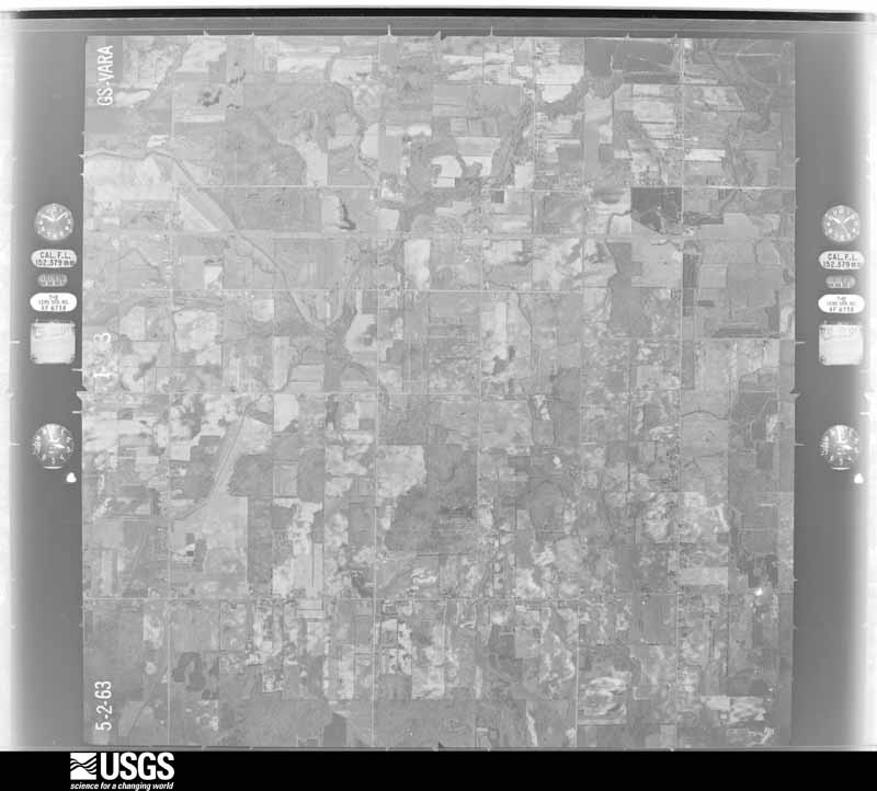
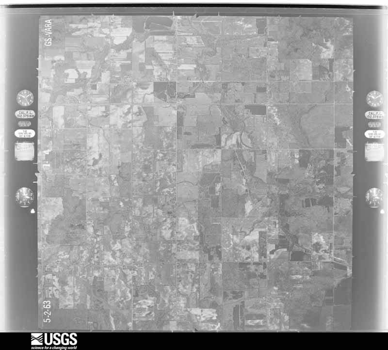
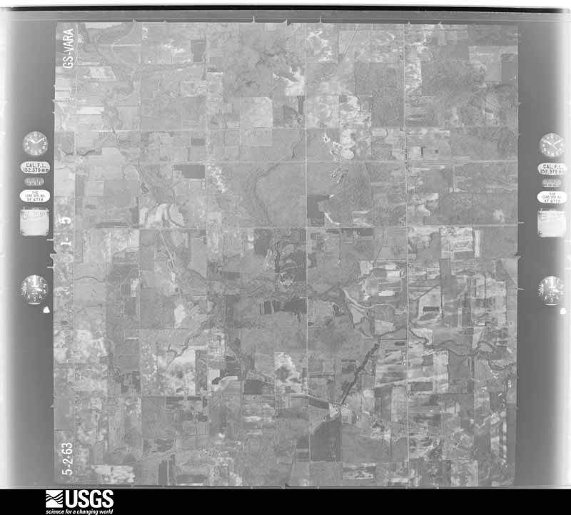
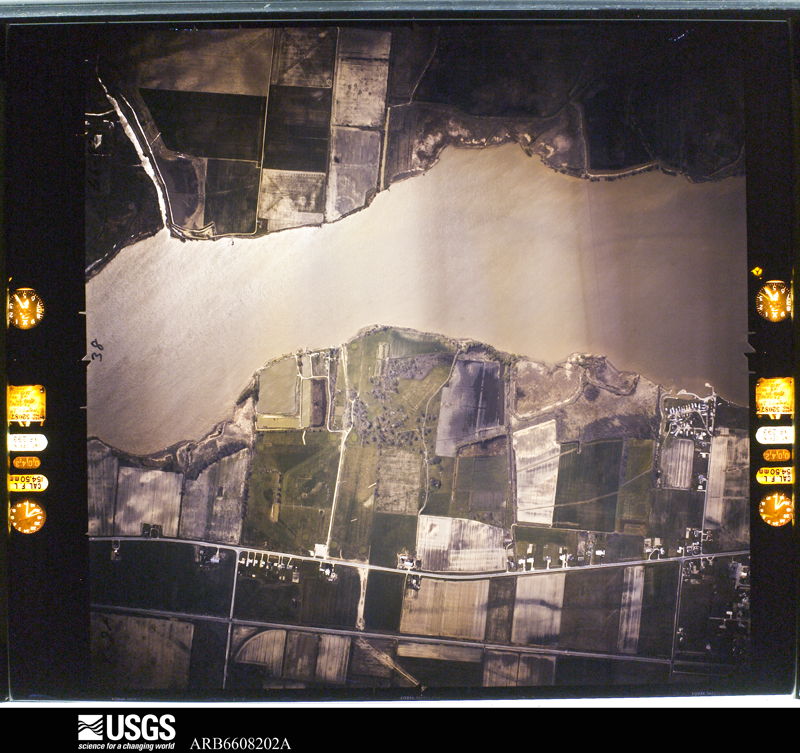
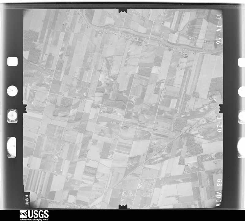
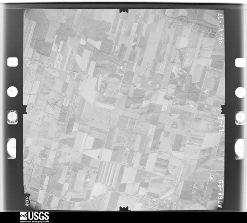
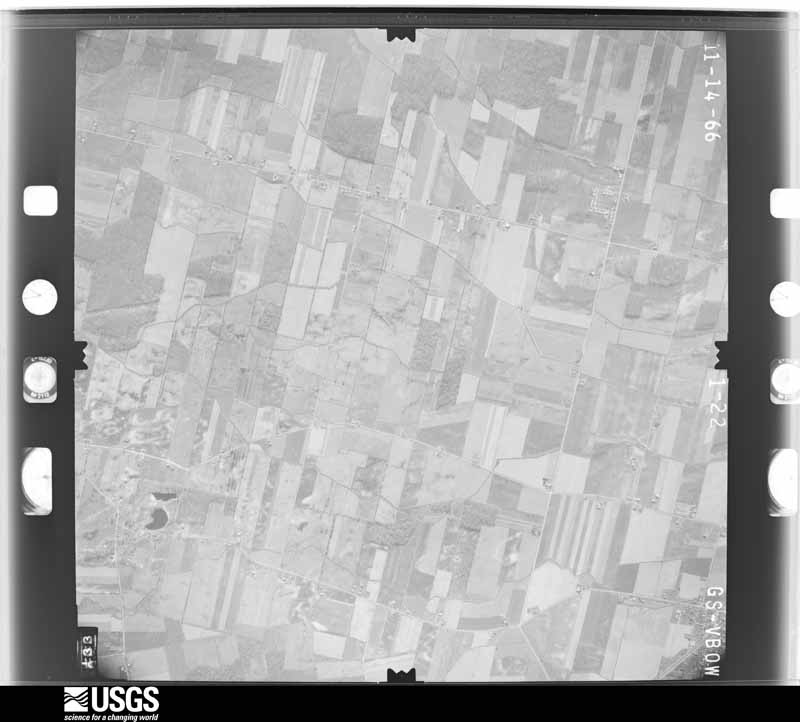
The county from the air

48 of 2,663 shown

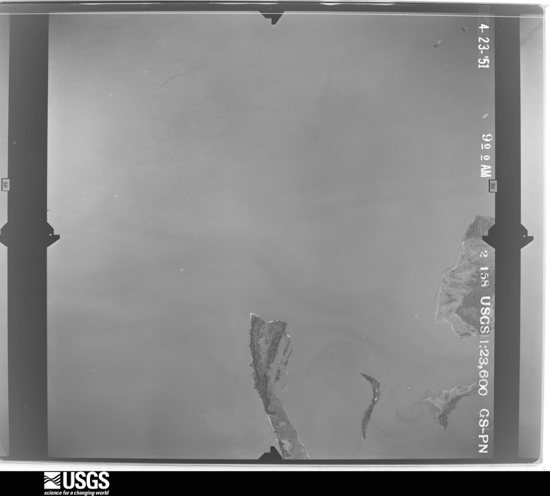
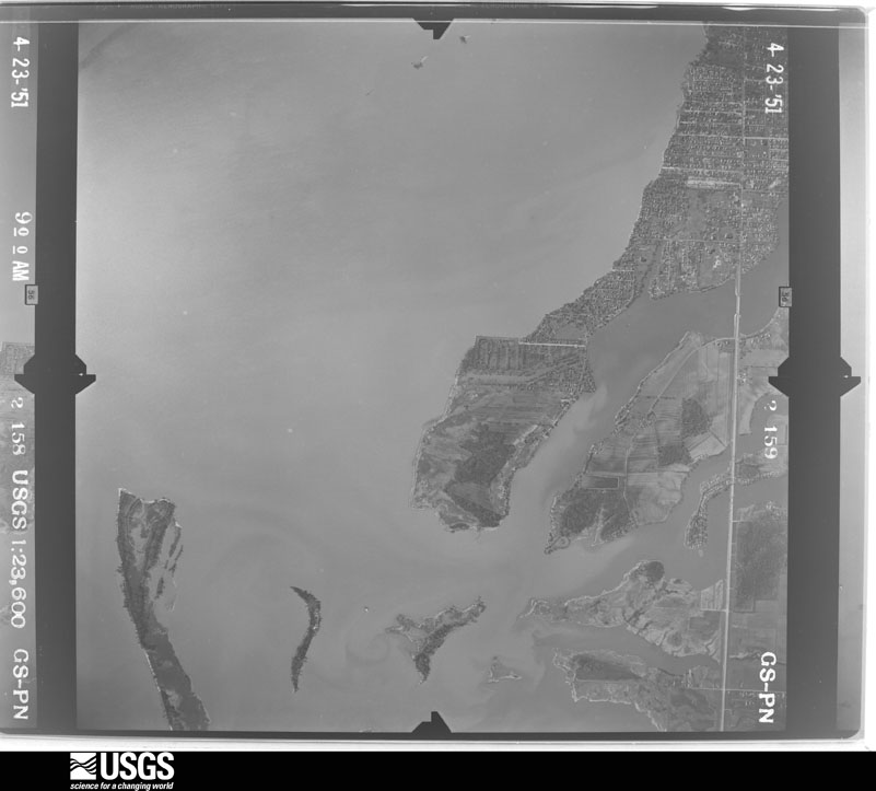
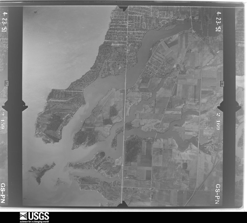
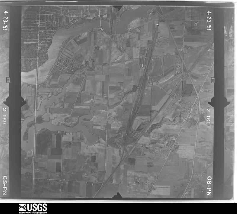
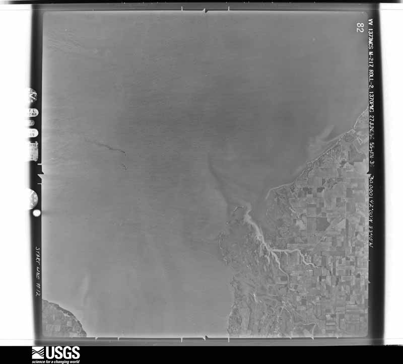
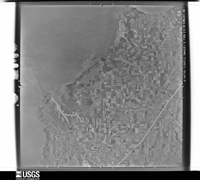
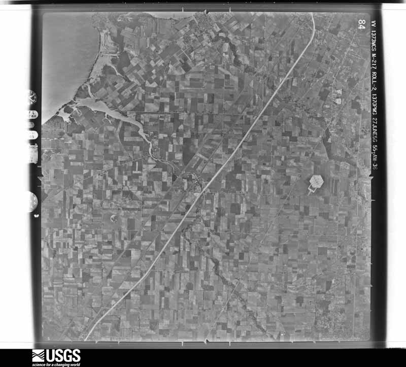
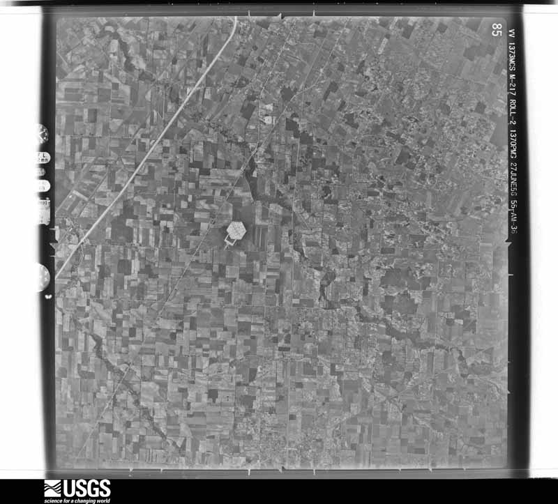
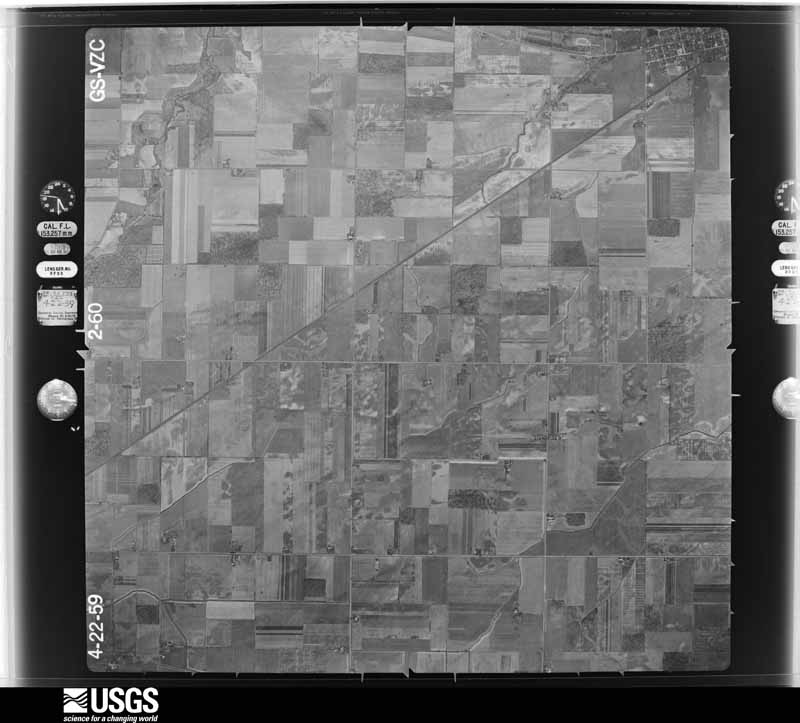
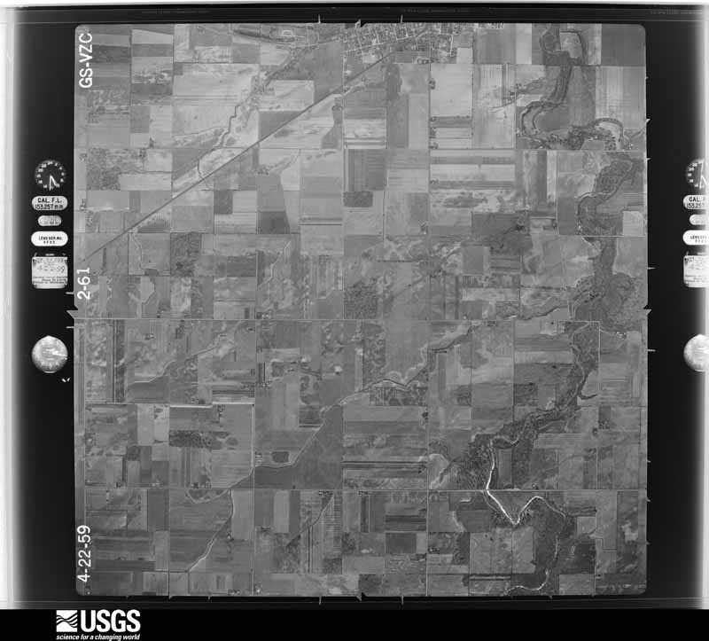
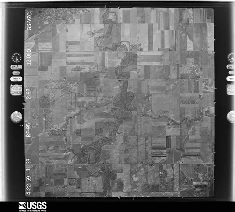
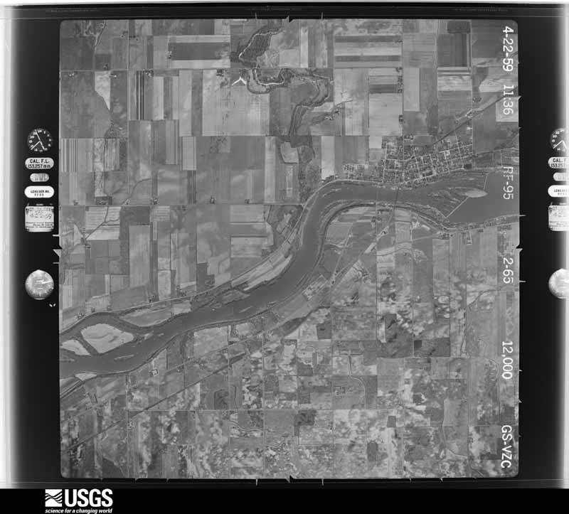
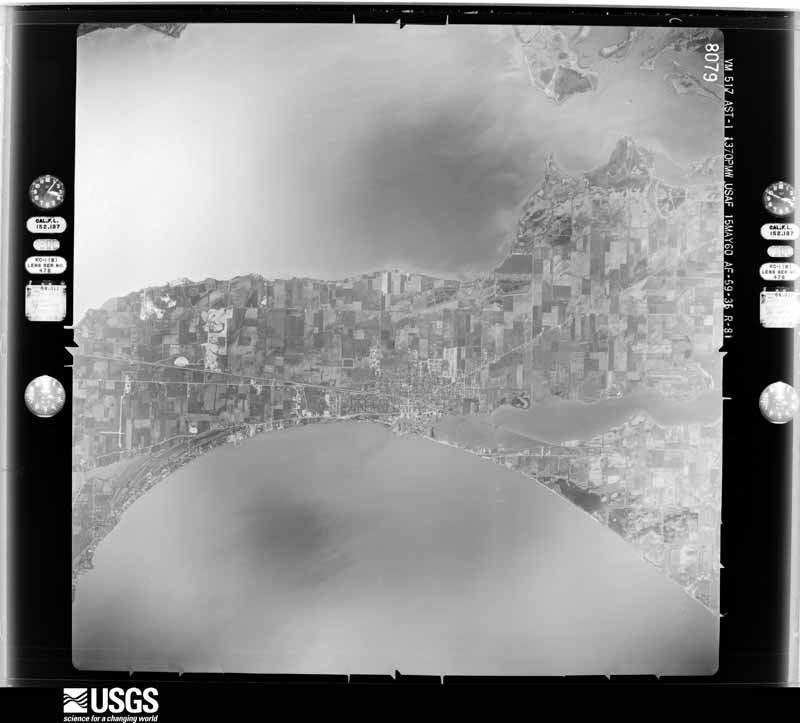
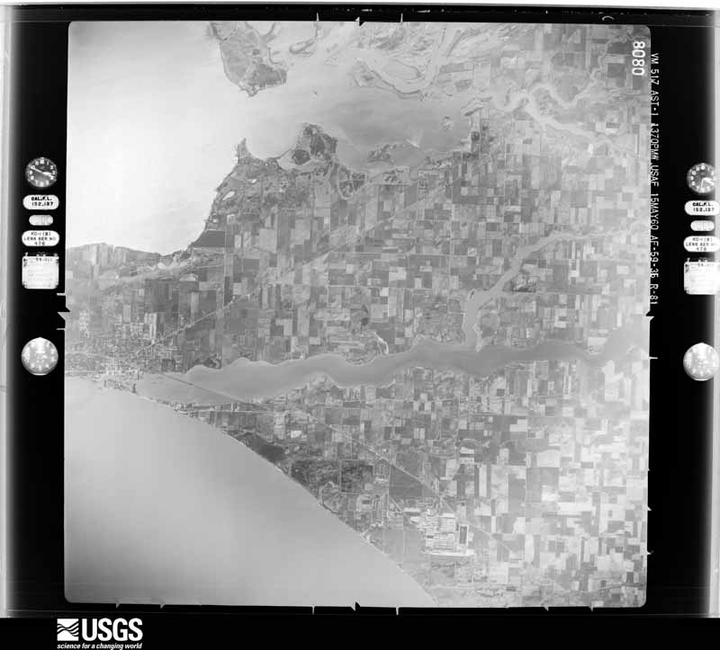
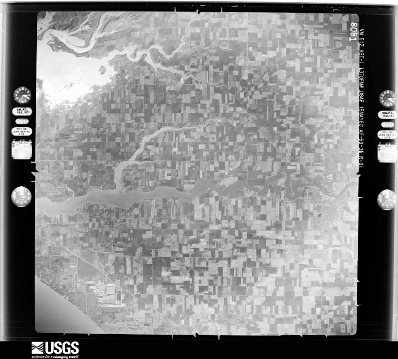
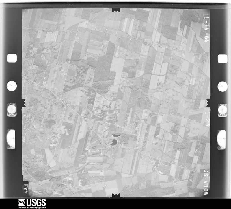
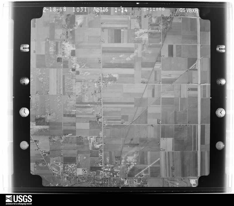
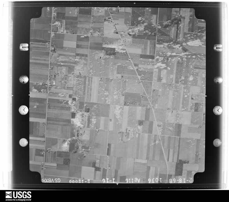
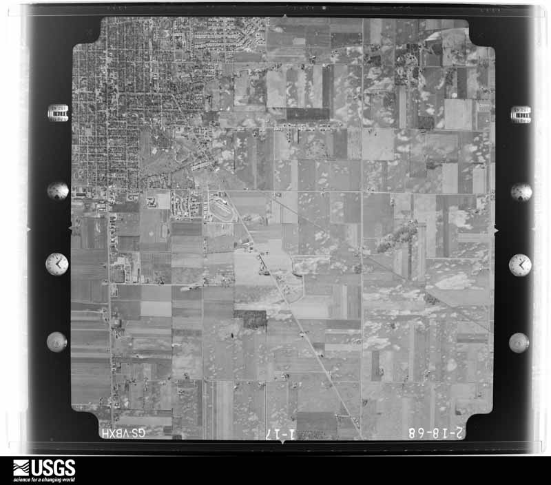
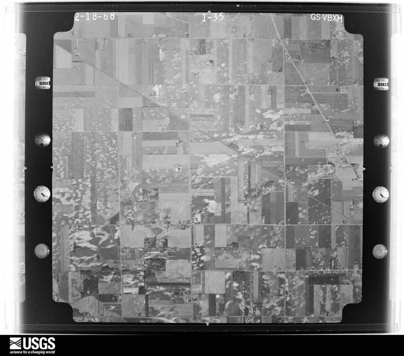
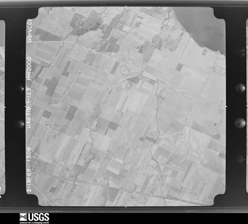
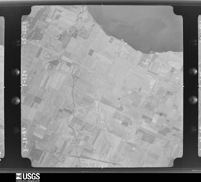
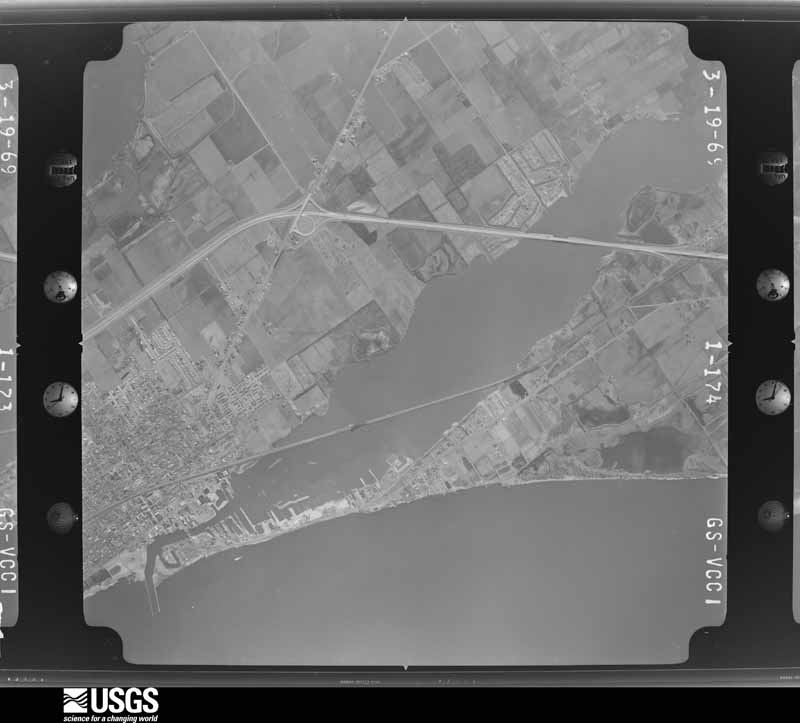
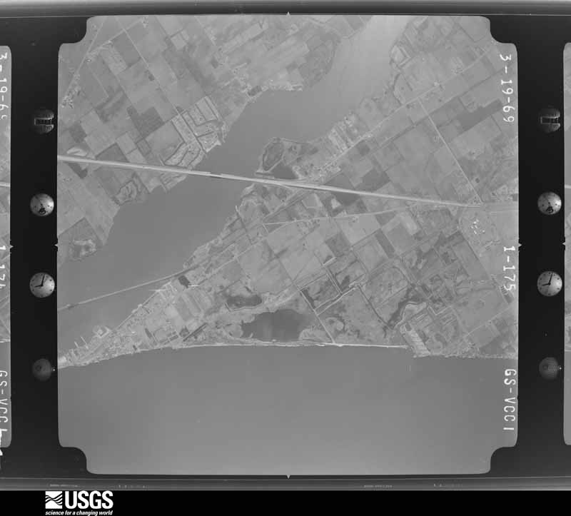
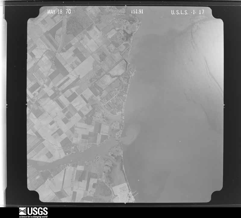
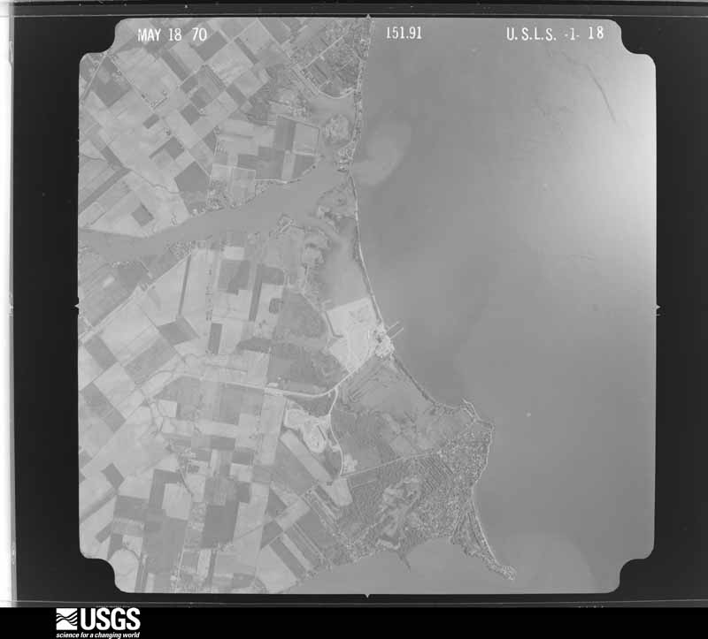
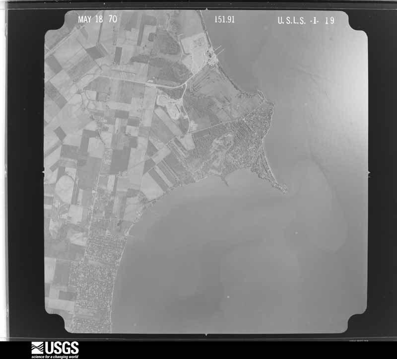
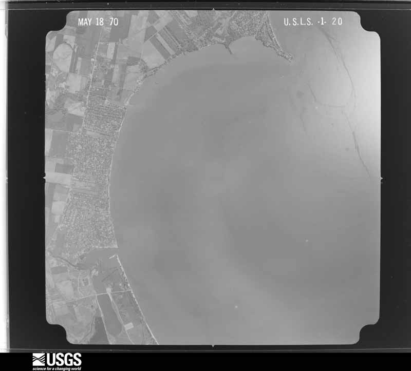
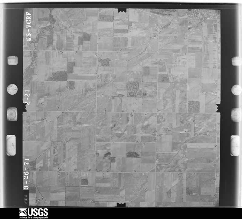
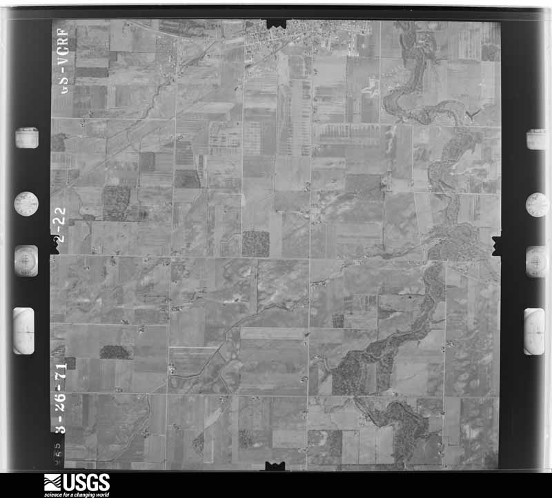
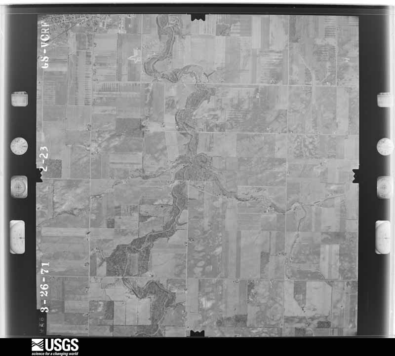
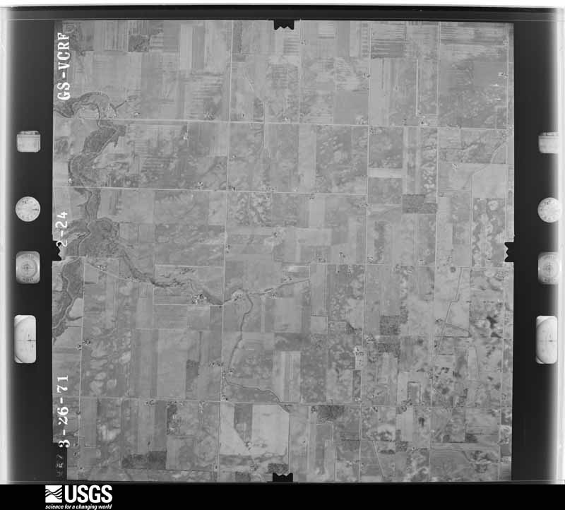
Flown by the U.S. Geological Survey between 1937 and 1989, the Aerial Photo Single Frames collection is the definitive mid-century view of the land: fields, roads and rivers as the camera saw them. 2,663 frames touch this county; the selection below spreads across the decades of flights (at most four per year), so one flight cannot crowd out the rest. The full set is free to browse and download at EarthExplorer under the dataset Aerial Photo Single Frames.

U.S. Geological Survey aerial photograph, 1951-06-01, scale 1:23600
1951-06-01, scale 1:23600. U.S. Geological Survey aerial photograph.
U.S. Geological Survey aerial photograph, 1951-06-01, scale 1:23600
1951-06-01, scale 1:23600. U.S. Geological Survey aerial photograph.
U.S. Geological Survey aerial photograph, 1951-06-01, scale 1:23600
1951-06-01, scale 1:23600. U.S. Geological Survey aerial photograph.
U.S. Geological Survey aerial photograph, 1951-06-01, scale 1:23600
1951-06-01, scale 1:23600. U.S. Geological Survey aerial photograph.
U.S. Geological Survey aerial photograph, 1956-08-26, scale 1:60000
1956-08-26, scale 1:60000. U.S. Geological Survey aerial photograph.
U.S. Geological Survey aerial photograph, 1956-08-26, scale 1:60000
1956-08-26, scale 1:60000. U.S. Geological Survey aerial photograph.
U.S. Geological Survey aerial photograph, 1956-08-26, scale 1:60000
1956-08-26, scale 1:60000. U.S. Geological Survey aerial photograph.
U.S. Geological Survey aerial photograph, 1956-08-26, scale 1:60000
1956-08-26, scale 1:60000. U.S. Geological Survey aerial photograph.
U.S. Geological Survey aerial photograph, 1959-04-23, scale 1:24000
1959-04-23, scale 1:24000. U.S. Geological Survey aerial photograph.
U.S. Geological Survey aerial photograph, 1959-04-23, scale 1:24000
1959-04-23, scale 1:24000. U.S. Geological Survey aerial photograph.
U.S. Geological Survey aerial photograph, 1959-04-23, scale 1:24000
1959-04-23, scale 1:24000. U.S. Geological Survey aerial photograph.
U.S. Geological Survey aerial photograph, 1959-04-23, scale 1:24000
1959-04-23, scale 1:24000. U.S. Geological Survey aerial photograph.
U.S. Geological Survey aerial photograph, 1960-05-15, scale 1:60000
1960-05-15, scale 1:60000. U.S. Geological Survey aerial photograph.
U.S. Geological Survey aerial photograph, 1960-05-15, scale 1:60000
1960-05-15, scale 1:60000. U.S. Geological Survey aerial photograph.
U.S. Geological Survey aerial photograph, 1960-05-15, scale 1:60000
1960-05-15, scale 1:60000. U.S. Geological Survey aerial photograph.
U.S. Geological Survey aerial photograph, 1960-05-15, scale 1:60000
1960-05-15, scale 1:60000. U.S. Geological Survey aerial photograph.
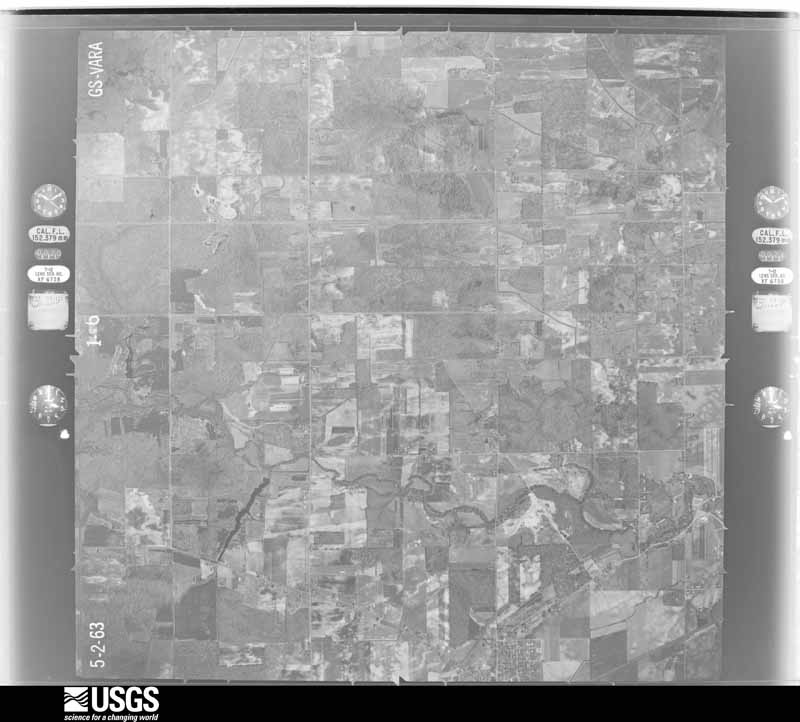
U.S. Geological Survey aerial photograph, 1963-05-01, scale 1:24000
1963-05-01, scale 1:24000. U.S. Geological Survey aerial photograph.
U.S. Geological Survey aerial photograph, 1963-05-01, scale 1:24000
1963-05-01, scale 1:24000. U.S. Geological Survey aerial photograph.
U.S. Geological Survey aerial photograph, 1963-05-01, scale 1:24000
1963-05-01, scale 1:24000. U.S. Geological Survey aerial photograph.
U.S. Geological Survey aerial photograph, 1963-05-01, scale 1:24000
1963-05-01, scale 1:24000. U.S. Geological Survey aerial photograph.
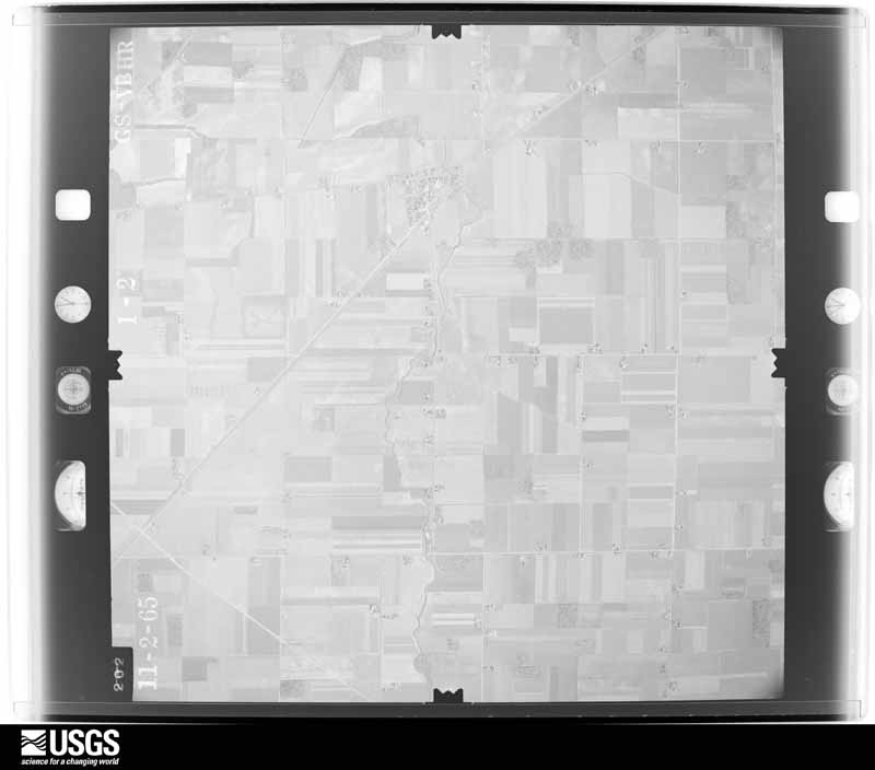
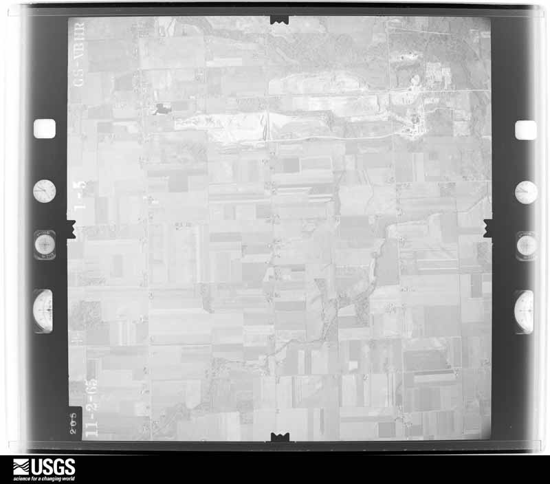
U.S. Geological Survey aerial photograph, 1965-11-01, scale 1:24000
1965-11-01, scale 1:24000. U.S. Geological Survey aerial photograph.
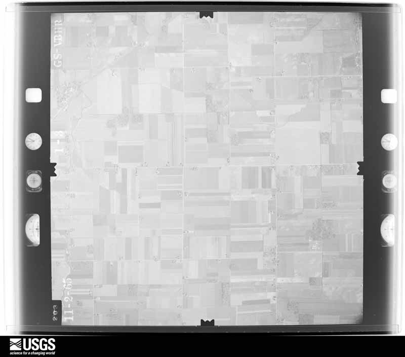
U.S. Geological Survey aerial photograph, 1965-11-01, scale 1:24000
1965-11-01, scale 1:24000. U.S. Geological Survey aerial photograph.
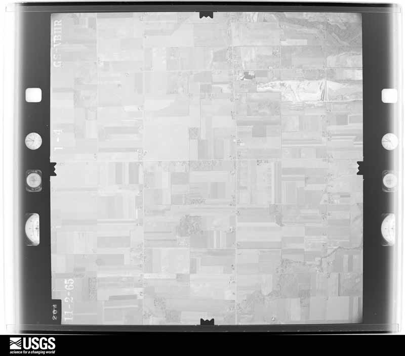
U.S. Geological Survey aerial photograph, 1965-11-01, scale 1:24000
1965-11-01, scale 1:24000. U.S. Geological Survey aerial photograph.
U.S. Geological Survey aerial photograph, 1965-11-01, scale 1:24000
1965-11-01, scale 1:24000. U.S. Geological Survey aerial photograph.
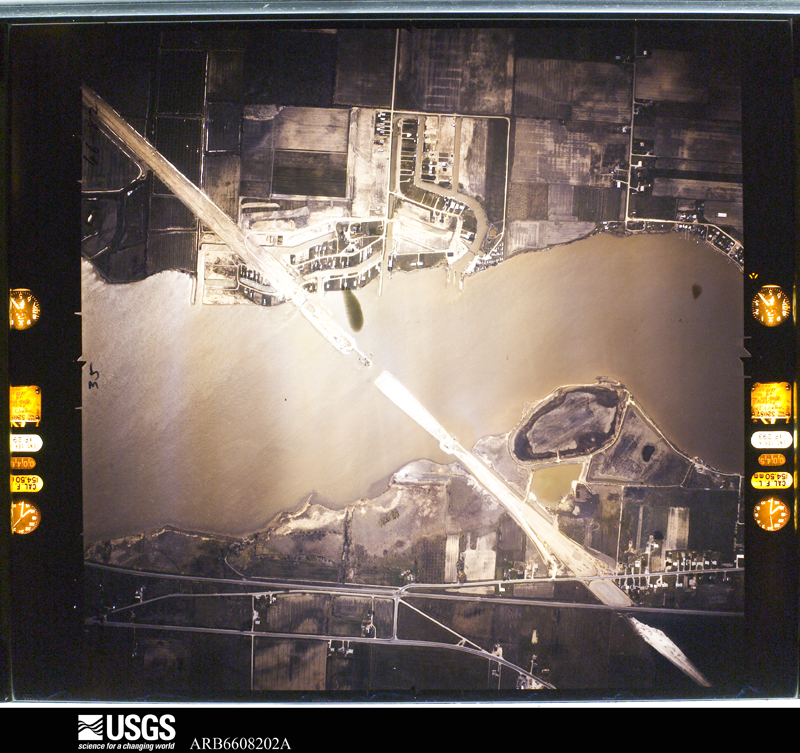
U.S. Geological Survey aerial photograph, 1966-05-05, scale 1:10871
1966-05-05, scale 1:10871. U.S. Geological Survey aerial photograph.
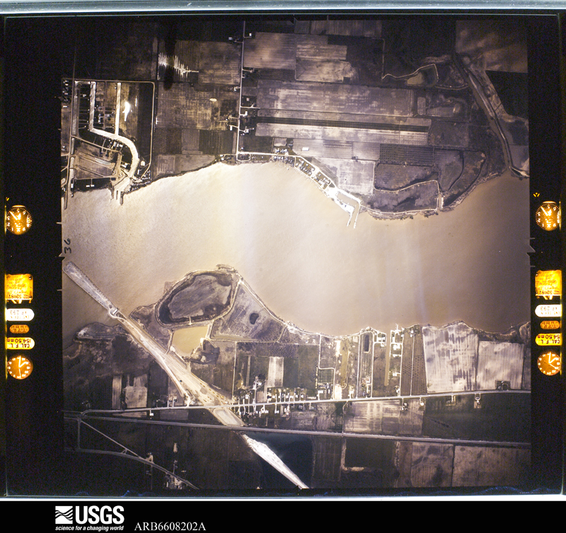
U.S. Geological Survey aerial photograph, 1966-05-05, scale 1:10778
1966-05-05, scale 1:10778. U.S. Geological Survey aerial photograph.
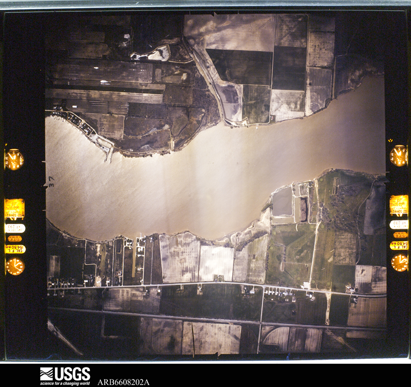
U.S. Geological Survey aerial photograph, 1966-05-05, scale 1:10778
1966-05-05, scale 1:10778. U.S. Geological Survey aerial photograph.
U.S. Geological Survey aerial photograph, 1966-05-05, scale 1:10778
1966-05-05, scale 1:10778. U.S. Geological Survey aerial photograph.
U.S. Geological Survey aerial photograph, 1967-05-01, scale 1:24000
1967-05-01, scale 1:24000. U.S. Geological Survey aerial photograph.
U.S. Geological Survey aerial photograph, 1967-05-01, scale 1:24000
1967-05-01, scale 1:24000. U.S. Geological Survey aerial photograph.
U.S. Geological Survey aerial photograph, 1967-05-01, scale 1:24000
1967-05-01, scale 1:24000. U.S. Geological Survey aerial photograph.
U.S. Geological Survey aerial photograph, 1967-05-01, scale 1:24000
1967-05-01, scale 1:24000. U.S. Geological Survey aerial photograph.
U.S. Geological Survey aerial photograph, 1968-03-01, scale 1:24000
1968-03-01, scale 1:24000. U.S. Geological Survey aerial photograph.
U.S. Geological Survey aerial photograph, 1968-03-01, scale 1:24000
1968-03-01, scale 1:24000. U.S. Geological Survey aerial photograph.
U.S. Geological Survey aerial photograph, 1968-03-01, scale 1:24000
1968-03-01, scale 1:24000. U.S. Geological Survey aerial photograph.
U.S. Geological Survey aerial photograph, 1968-03-01, scale 1:24000
1968-03-01, scale 1:24000. U.S. Geological Survey aerial photograph.
U.S. Geological Survey aerial photograph, 1969-03-22, scale 1:24000
1969-03-22, scale 1:24000. U.S. Geological Survey aerial photograph.
U.S. Geological Survey aerial photograph, 1969-03-22, scale 1:24000
1969-03-22, scale 1:24000. U.S. Geological Survey aerial photograph.
U.S. Geological Survey aerial photograph, 1969-03-22, scale 1:24000
1969-03-22, scale 1:24000. U.S. Geological Survey aerial photograph.
U.S. Geological Survey aerial photograph, 1969-03-22, scale 1:24000
1969-03-22, scale 1:24000. U.S. Geological Survey aerial photograph.
U.S. Geological Survey aerial photograph, 1970-05-21, scale 1:30000
1970-05-21, scale 1:30000. U.S. Geological Survey aerial photograph.
U.S. Geological Survey aerial photograph, 1970-05-21, scale 1:30000
1970-05-21, scale 1:30000. U.S. Geological Survey aerial photograph.
U.S. Geological Survey aerial photograph, 1970-05-21, scale 1:30000
1970-05-21, scale 1:30000. U.S. Geological Survey aerial photograph.
U.S. Geological Survey aerial photograph, 1970-05-21, scale 1:30000
1970-05-21, scale 1:30000. U.S. Geological Survey aerial photograph.
U.S. Geological Survey aerial photograph, 1971-04-01, scale 1:24000
1971-04-01, scale 1:24000. U.S. Geological Survey aerial photograph.
U.S. Geological Survey aerial photograph, 1971-04-01, scale 1:24000
1971-04-01, scale 1:24000. U.S. Geological Survey aerial photograph.
U.S. Geological Survey aerial photograph, 1971-04-01, scale 1:24000
1971-04-01, scale 1:24000. U.S. Geological Survey aerial photograph.
U.S. Geological Survey aerial photograph, 1971-04-01, scale 1:24000
1971-04-01, scale 1:24000. U.S. Geological Survey aerial photograph.

City directories

5 volumes

The "who lived here, by year" answer: pre-1929 public-domain directory volumes naming the county's people, machine-read and searchable as text.

Weather records

57 stations, 49 gages

The thermometers that kept this county's weather, and the gages that watched its rivers, as the federal records hold them. The extremes below are measured values from those records, not estimates.

The 1950 census, district by district

112 districts

Who lived here in 1950, one enumeration district at a time, as the Census Bureau described each district. Each row opens its official National Archives result, with Population Schedules and ED Maps available there.

  • 48-1Adams township: Adams township - That part Bounded by Township line, Toledo city limits, Township line; Toledo city limits; Dorr; Secor Rd.
  • 48-2Adams township - That part outside Area A Bounded by Township line, Hickok Oil Co. Property line, Township line; Township line, Secor Rd.; Dorr; Penn Rd., Paisley Rd., Eileen Rd., Bancroft, U.S. Hwy. 20
  • 48-3Adams township - That part Bounded by Township line; Richards Rd.; Property line of Hickok Oil Co.; Property line of Hickok Oil Co.
  • 48-4Adams township - That part Bounded by Township line; U.S. Hwy. 20 (Reynolds Rd.); Morrow Rd., Olympia Rd., Parkstone Sanddown, Bancroft, Holland - Sylvania Rd., Haefner Ditch, Acorn Dr., Dorr, Vanderbilt Rd., Fryer Ave., Holland - Sylvania Rd., Judge Rd.; Township line
  • 48-5Adams township - That part Bounded by Hill Ave., Teal Dr., Hal Dr., McTigue Dr., Nebraska Ave., Sibley Rd., Kelloc Rd.; U.S. Hwy. 20; New York Central Railroad, Township line; Township line
  • 48-6Adams township - That part Bounded by Judge, Holland - Sylvania Rd., Fryer Ave., Vanderbilt Rd., Dorr, Acorn Dr., Haefner Ditch, Holland - Sylvania Rd., Bancroft, Sanddown, Parkstone, Olympia Rd., Morrow Rd.; U.S. Hwy. 20 (Reynolds Rd.); Kelloc Rd., Sibley Rd., Nebraska Ave., McTigue Dr., Hal Dr., Teal Dr., Hill Ave.; Township line
  • 48-7BAdams township - That part Bounded by Bancroft; Copley Dr.; Dorr, Reynolds Rd.; Reynolds Rd.
  • 48-7CAdams township - That part Bounded by Dorr; Haven Rd.; Prestler Rd.; Reynolds Rd.
  • 48-7AAdams township - That part Bounded by Bancroft; Paisley Rd., Penn Rd.; Dorr; Copley Dr.
  • 48-8Adams township - That part Bounded by Prestler Rd., Haven Rd., Dorr, Richards Rd., Amsterdam Rd., Independence Rd., Dorr; Byrne Rd.; New York Central Railroad; U.S. Hwy. 20
  • 48-9Adams township - That part Bounded by Dorr; Independence Rd.; Amsterdam Rd.; Richards Rd.
  • 48-10Adams township - That part Bounded by Nebraska Ave.; Detroit, Toledo and Ironton Railroad, Stockdale Ave. extended, Stockdale Ave., Burbank Dr., Hill Ave., Detroit, Toledo and Ironton Railroad; North property line of New York Central Railroad Tie Yd., North property line of Federal Creosoting Co. (Fence); Byrne Rd.
  • 48-11AN/A
  • 48-11BN/A
  • 48-12Adams township - That part Bounded by Nebraska Ave.; Toledo city limits; Swan Creek, Detroit, Toledo and Ironton Railroad, Wayne; Byrne Rd., North Property line of Federal Creosoting Co., North property line of New York Central Railroad Tie Yd., Detroit, Toledo and Ironton Railroad, Hill Ave., Burbank Dr., Stockdale Ave., Stockdale Ave. extended, Detroit, Toledo and Ironton Railroad
  • 48-13Adams township - That part Bounded by Glendale Ave., Bensch Dr., Brest Dr., Brest Dr. extended, Detroit, Toledo and Ironton Railroad, Glendale Ave., Luscombe, Buxton, Stanwix Dr., Best Dr.; Toledo city limits; Glanzman Rd.; Birchwood Ave., Schneider Rd., West Property line (fence) of Plaskon Corp.
  • 48-14Adams township - That part Bounded by New York Central Railroad; Byrne Rd., Wayne, Detroit, Toledo and Ironton Railroad, Swan Creek, Toledo city limits, Brest Dr., Stanwix Dr., Buxton, Luscombe, Glendale Ave., Detroit, Toledo and Ironton Railroad, Brest Dr. extended, Brest Dr., Bensch Dr., Glendale Ave., West Property line (fence) of Plaskon Corp, Schneider Rd., Birchwood Ave., Glanzman Rd., Toledo city limits, Heathersdowns Country Club Property line, Wabash Railroad, Rosedale, Ave. extended, Rosedale Ave.; Maumee village limits, Property line of Lucas County Fair Grounds, Maumee village limits; Township line, including Ewing Island and that small detached area south of Maumee village and north of the county line
  • 48-15Adams township - That part Bounded by Property line of Heathersdowns Country Club; Toledo city limits; Maumee village limits; Rosedale Ave., Rosedale Ave. extended, Wabash Railroad
  • 48-16Adams township - That part Bounded by Lucas County Fair Grounds Property line; Maumee village limits; Key
  • 48-17Harding township
  • 48-18Jerusalem township: Reno Beach, unincorporated (See boundaries shown on aerial photo BVG - 6 - 2A)
  • 48-19Jerusalem township - That part north and east of State Hwy. 581, and east of State Hwy. 2, outside Reno Beach, unincorporated (See aerial photo BVG - 6 - 2A for boundaries of Reno Beach)
  • 48-20AJerusalem township - That part Bounded by Corduroy Rd.; Howard Rd.; Route #2; Township line
  • 48-20BJerusalem township - That part Bounded by Route #2; Route #2; County line; Township line
  • 48-21Monclova township: Monclova township - That part Bounded by Township line; Township line; New York Central and St. Louis Railroad; Jerome Rd., Montclova Rd., Coder Rd., U.S. Hwy. Alt. 20, Butz Rd., Salisbury Rd., Holloway Rd.
  • 48-22Montclova township - That part Bounded by Township line; Holloway Rd., Salisbury Rd., Butz Rd., U.S. Hwy. Alt. 20, Coder Rd., Montclova Rd., Jerome Rd., New York Central and St. Louis Railroad, Township line; Township line (Maumee River), Township line; Township line
  • 48-23Oregon township: Harbor View village
  • 48-24Oregon township - That part Bounded by Maumee Bay; Harbor View village limits, Bay Shore Rd., Dupont Rd., Property line of Buckeye Pipe Line Co., Property line (fence) of Sohio Refinery; Cedar Pt. Rd., Otter Creek Rd., Wheeling and Lake Erie Railway, Otter Creek, Toledo city limits; Toledo city limits
  • 48-25Oregon township - That part Bounded by Maumee Bay; Lakeview Ave. Bay Shore Rd., Wynn Rd.; Cedar Pt. Rd.; Property line of Sohio Refinery, Property line of Buckeye Pipe Line Co., Dupont Rd., Bay Shore Rd., Harbor View village limits
  • 48-26Oregon township - That part Bounded by Maumee Bay; Open Drainage Ditch; Crissel Rd.; Big Ditch Rd., Bay Shore Rd., Lakeview Ave.
  • 48-27Oregon township - That part Bounded by Cedar Pt. Rd., Wynn Rd., Bay Shore Rd., Big Ditch Rd., Crissel Rd., Open Drainage Ditch, Maumee Bay; Township line; State Hwy. 581; Lallendorf Rd.
  • 48-28Oregon township - That part Bounded by State Hwy. 581; Township line; State Hwy. 2; Wheeling and Lake Erie Railway, Lallendorf Rd.
  • 48-29Oregon township - That part Bounded by Wheeling and Lake Erie Railway; State Hwy. 2; Lallendorf Rd.
  • 48-30Oregon township - That part Bounded by Otter Creek Rd., Cedar Pt. Rd.; Lallendorf Rd.; State Hwy. 2; Wheeling, Eastmoreland Dr., Berlin Ave., Portland, Whittlesey Ave., Hayden, Wheeling, Starr Ave., Otter Creek, Dearborn Ave., Toledo city limits, Otter Creek
  • 48-31Oregon township - That part Bounded by Dearborn Ave., Otter Creek, Starr Ave., Wheeling, Hayden, Whittlesey Ave., Portland; Berlin Ave., Eastmoreland Dr., Wheeling; State Hwy. 2 (Jeruselem Rd.); Toledo city limits
  • 48-32Oregon township - That part Bounded by Toledo city limits, State Hwy. 2 (Jeruselem Rd.); Wheeling, Drainage Ditch around Trailer Park, Wheeling; County line, New York Central Railroad, Cross, Mahala, Oakdale Ave.; Toledo city limits
  • 48-33Oregon township - That part Bounded by Oakdale Ave.; Mahala, Cross, New York Central Railroad; County line; Toledo city limits
  • 48-34Oregon township - That part Bounded by State Hwy. 2; Lallendorf Rd.; Brown Rd., Coy Rd., County line; Wheeling, Drainage Ditch around Trailer Park, Wheeling
  • 48-35Oregon township - That part Bounded by State Hwy. 2; Wheeling and Lake Erie Railway, Township line; County line; Coy Rd., Brown Rd., Lallendorf Rd.
  • 48-36Oregon township - That part Bounded by State Hwy. 2; Township line; Wheeling and Lake Erie Railway
  • 48-37Ottawa Hills township, coextensive with Ottawa Hills village: Ottawa Hills village - That part Bounded by Village limits; Village limits; Brookside Rd.; Talmadge Rd.
  • 48-38Ottawa Hills village - That part Bounded by Village limits; Talmadge Rd.; Bancroft, Village limits; Village limits
  • 48-39Ottawa Hills village - That part Bounded by Brookside Rd.; Village limits; Village limits; Bancroft, Talmadge Rd.
  • 48-40Providence township, including Islands #1, #2, #3, #4
  • 48-41Richfield township: Berkley village
  • 48-42Richfield township - That part outside Berkey village
  • 48-43Spencer township
  • 48-44Springfield township: Holland village
  • 48-45South Hill Park, unincorporated (See boundaries shown Area on aerial photo BVG - 5 - 36)
  • 48-46Springfield township - That part north of Angola Rd. and east of King Rd. outside South Hill Park, unincorporated (See aerial photo BVG - 5 - 36 for boundaries of South Hill Park)
  • 48-47Springfield township - That part north of Angola Rd. outside of South Hill Park, unincorporated (See aerial photo BVG - 5 - 36 for boundaries of South Hill Park)
  • 48-48Springfield township - That part north of State Hwy. 2, south of Angola Rd., and east of Holloway Rd., outside Holland village
  • 48-49Springfield township - That part west of King and Holloway Rds., South of Angola Rd., and north of State Hwy. 2, outside Holland village
  • 48-50Springfield township - That part south of State Hwy. 2 and west of Holloway Rd.
  • 48-51Springfield township - That part south of State Hwy. 2 and east of Holloway Rd.
  • 48-52Swanton township - That part north of Wabash Railway
  • 48-53Swanton township - That part south of Wabash Railway
  • 48-54Sylvania township: Sylvania village: Sylvania village - That part Bounded by Village limits; Village limits; Village limits, Monroe; Main
  • 48-55Sylvania village - That part excluding Sisters of St. Francis Convent Bounded by Village limits; Main, Holland - Sylvania Rd.; Village limits; Village limits
  • 48-56Sisters of St. Francis Convent (In Sylvania village)
  • 48-57Sylvania village - That part Bounded by Monroe; Village limits; Village limits; Holland - Sylvania Rd., Main
  • 48-58Sylvania township - That part Bounded by Herman Pl.; Rega Dr., Sylvania - Alexis Rd., township line; Airedale Ave., Eisenbraum Ditch; Woods Ave., Freidley Dr.
  • 48-59Sylvania township - That part Bounded by State line; Township line, Sylvania - Alexis Rd., Rega Dr., Herman Pl., Freidly Dr., Woods Ave., Eisenbraum Ditch, Airedale Ave., Township line; Ottawa Hills village limits, township line; New York Central Railroad, Sylvania village limits, Property line of Sylvania Country Club, U.S. Hwy. 223, Sylvania village limits, State Hwy. 568, Roan Rd., Pyle Dr., Altsheler, Whetstone Dr., Silverton Dr., Trellis Way, Whiteford Rd., Toledo - Lansing Rd., Colgate Rd., Colgate Rd. extended, Vineyard Rd., Arbor Way, Whiteford Rd., Sylvania - Alexis Rd., Normandy Rd., Heather Pl., Whiteford Rd.
  • 48-60Sylvania township - That part Bounded by State line; Whiteford Rd., Heather Pl., Normandy Rd.; State Hwy. 568 (Sylvania - Alexis Rd.); Sylvania village limits
  • 48-61Sylvania township - That part Bounded by State Hwy. 568 (Sylvania - Alexis Rd.); Whiteford Rd., Arbor Way, Vineyard Rd., Colgate Rd. extended, Colgate Rd.; U.S. Hwy. 223, Whiteford Rd., Trellis Way; Silverton Dr., Whetstone Dr., Altsheler Dr., Pyle Dr., Roan Rd.
  • 48-62Sylvania township - That part Bounded by U.S. Hwy. 223; Property line of Sylvania Country Club; Property line of Sylvana Country; Club Property line of Sylvania Country Club, Sylvania village limits
  • 48-63Sylvania township - That part outside Area B Bounded by Brint Rd., Sylvania village limits; New York Central Railroad; Township line; King Rd. (See Enumeration District map for boundaries of Area B)
  • 48-64Sylvania township - That part comprising Area B Bounded by Toledo Angola and Western Railway; Holland - Sylvania Rd., Bonsels Pkwy., Elmont Dr.; Central Ave.; Wilford
  • 48-65Sylvania township - That part Bounded by State line; Sylvania village limits, Brint Rd., King Rd.; Township line; Township line
  • 48-66Washington township: Washington township - That part Bounded by President Dr., President Dr. extended; Toledo city limits; Brophy Dr. extended, Brophy Dr.; Eastharbor Ave., Pageland Ave., Foch Ave., Patriot Dr., Angel Ave., Belpre Dr., Torgler Ave.
  • 48-67Washington township - That part Bounded by State line; Toledo city limits, President Dr. extended, President Dr., Torgler Ave., Belpre Dr., Angel Ave., Patriot Dr., Foch Ave., Pageland Ave., Eastharbor Ave., Brophy Dr., Brophy Dr. extended, Toledo city limits; Toledo city limits, Detroit, Toledo and Ironton Railroad , Ottawa River, Schwartz Rd., Lehman Ave., Hoffman Rd., Toledo city limits, Property line (fence) of Electric Autolite Mfg. Co., Stickney Ave., Toledo city limits, Ann Arbor Railroad, Property line (fence) of Textileather Co. (Toledo Dye Works), Toledo city limits, Ottawa River, Property line (fence) of Dupont Co., Toledo city limits; Michigan Central Railroad, Matzinger Rd., New York Central Railroad, Michigan Central Railroad
  • 48-68Washington township - That part Bounded by State line; Michigan Central Railroad and New York Central Railroad; Property line (fence) of Gordon Mfg. Co., U.S. Hwy. 25, Razelle Dr., U.S. Hwy. 24, Property line (fence) of Toledo Scales Plant, Crabb Rd., U.S. Hwy. 24, U.S. Hwy. 25,- Detroit, Toledo and Ironton Railroad; Bennett Rd., Northgate Pkwy., U.S. Hwy. 23 (Lewis Ave.)
  • 48-69Washington township - That part outside Area C and Area D Bounded by State line; U.S. Hwy. 23 (Lewis Ave.); Toledo city limits, Laskey Rd.; Rowland Rd., Ketcham Drainage Ditch, Oldham Dr., Christian Ave., Jackman Rd., Northover Rd., Northover Rd. exterided, Rowland Rd., Ketcham Drainage Ditch, Selma, Newport Ave. Adelia Ave., Adelia Ave. exterided, Murray Ave., Winona, Bodette Ave Douglas Rd., Edgar, Property line (fence) of Whitmer High School Stadium, Whitmer Dr., Sylvania - Alexis Rd., Herst Rd. (See Enumeration District map for boundaries of Area C and Area D)
  • 48-70Washington township - That part comprising Area C Bounded by Brum Dr., Pickard Dr., Travis Dr.; Detroit, Toledo and Ironton Railroad; Property line of Martin - Parry Corp., Sylvania - Alexis Rd.; Recamper Dr.
  • 48-71Washington township - That part comprising Area D Bounded by Northover Rd. extended, Northover Rd.; Jackman Rd.; Christian Ave., Oldham Dr., Ketcham Drainage Ditch; Rowland Rd.
  • 48-72DN/A
  • 48-72CN/A
  • 48-72AWashington township - That part Bounded by Bodette Ave.; Winona, Murray Ave., Adella Ave. extended, Adella Ave., Newport Ave. Selma Ave., Ketcham Drainage Ditch, Rowland Rd., Laskey Rd., Mellwood Ave., Leamington, Olin, Mellwood Ave., Rood; Farragut, Toledo city limits; Bowen Rd. Laskey Rd., Douglas Rd.
  • 48-72BWashington township - That part Bounded by State line; Herst Rd.; Sylvania - Alexis Rd.; State Hwy. 183, Toledo - Ann Arbor Rd.
  • 48-73Washington township - That part Bounded by Sylvania - Alexis Rd., Vail Ave., Stock Ave., Clover Lane, State line, Meteor Rd., Sylvania - Alexis Rd., Acoma Dr., Otjen Rd.; State Hwy. 183 (Toledo - Ann Arbor Rd.); Coral Ave., Rambo Lane, Quest Lane, Harvest Lane, Wrenwood Rd., Clover Lane, Airedale Ave.; Township line

  • 48-74Washington township - That part Bounded by State line; Toledo - Ann Arbor Rd., State Hwy. 183; Otjen Rd., Acoma Dr., Sylvania - Alexis Rd.; Meteor Rd.
  • 48-75Washington township - That part Bounded by State line; Clover Lane; Stock Ave., Vail Ave., Sylvania, Alexis Rd.; Township line
  • 48-76Washington township - That part outside Area E Bounded by Airedale Ave., Clover Lane, Wrenwood Rd., Harvest Lane, Quast Lane, Rambo Lane, Coral Ave.; State Hwy. 183 (Toledo - Ann Arbor Rd.); Sylvania Ave.; Township line (See Enumeration District map for boundaries of Area E)
  • 48-77Washington township - That part comprising Area E Bounded by Laskey Rd.; Rambo Lane, Barstow Ave., Willis Blvd. extended, Willis Blvd.; U.S. Hwy. 223 (Toledo - Lansing Rd.); Naomie Dr., Ariel Ave., Luann Ave.
  • 48-78Washington township - That part Bounded by Open Drainage Ditch; Tremainsville Rd., Laskey Rd., Bowen Rd., Toledo city limits, Bowen Rd., Toledo city limits; Toledo city limits, Sylvania Ave.; Crary Dr., Corydan Dr., State Hwy. 183 (Toledo - Ann Arbor Rd.)
  • 48-79AWashington township - That part Bounded by part Northgate Pkwy.; Bennett Rd., Detroit, Toledo and Ironton Railroad, Resetta; Toledo city limits; Bennett Rd., Laskey Rd., Toledo city limits, Lewis Ave.
  • 48-79BWashington township - That part Bounded by Detroit, Toledo and Ironton Railroad; Bennett Rd.; Toledo city limits; Toledo city limits
  • 48-79CN/A
  • 48-80Washington township - That part Bounded by Razelle Dr., U.S. Hwy. 25 (Dixie Hwy.), Property line (fence) of Gordon Mfg. Co.; Michigan Central Railroad, New York Central Railroad, Matzinger Rd., Michigan Central Railroad; Toledo city limits; Rosetta, Detroit, Toledo and Ironton Railroad, U.S. Hwy. 25 (Dixie Hwy.), Crabb Rd., Property line (fence) of Toledo Scales Co., U.S. Hwy. 24
  • 48-81Washington township - That part Bounded by Property line (fence) of Dupont Co.; Ottawa River; Toledo city limits; Property line (fence) of Dupont Co.
  • 48-82Washington township - That part Bounded by Lehman Ave., Schwartz Rd., Ottawa River; Detroit, Toledo and Ironton Railroad; Toledo city limits; Hoffman Rd.
  • 48-83Washington township - That part Bounded by Property line (fence) of Electric Autolite Mfg. Co.; Property line (fence) of Electric Autolite Mfg. Co.; Toledo city limits; Stickney Ave.
  • 48-84Washington township - That part Bounded by part Northgate Pkwy.; Bennett Rd., Detroit, Toledo and Ironton Railroad, Resetta; Toledo city limits; Bennett Rd., Laskey Rd., Toledo city limits, Lewis Ave.
  • 48-85Washington township - That part Bounded by Laskey Rd.; Toledo city limits; Toledo city limits; Farragut, Rood, Mellwood Ave., Olin, Leamington Ave., Mellwood Ave.
  • 48-86Washington township - That part, including that small area, south of Thomas Pl., within Toledo city limits, but not a part thereof Bounded by Toledo city limits; Toledo city limits; Toledo city limits; Toledo city limits, Bowen Rd.
  • 48-87Washington township - That part excluding Immaculate Conception Convent Bounded by Sylvania Ave.; State Hwy. 183 (Toledo - Ann Arbor Rd.), Secor Rd., Toledo city limits; Ottawa Hills village limits; Ottawa Hills village limits, township line
  • 48-88Immaculate Conception Convent (In Washington township)
  • 48-89Washington township - That part Bounded by Corydan Dr., Crary Dr., Sylvania Ave.; Toledo city limits; Toledo city limits; Secor Rd., State Hwy. 183 (Toledo - Ann Arbor Rd.)
  • 48-90Washington township - That part Bounded by Ottawa Hills village limits; Secor Rd.; Township line; Township line
  • 48-91Washington township - That part Bounded by Toledo city limits; Township line; Secor Rd.
  • 48-92Washington township - That part Bounded by Toledo city limits; Toledo city limits; Township line; Toledo city limits
  • 48-93Waterville township: Waterville village
  • 48-94Whitehouse village
  • 48-95Waterville township - That part outside Waterville and Whitehouse villages, including Butler and Statton islands
  • 48-96Waynesfield township, coextensive with Maumee village: Maumee village - That part of Ward 1 Bounded by Village limits; Perrysburg - Holland Rd., Conant; Dudley; Ford, Salisbury Rd., Village limits
  • 48-97Maumee village - That part of Ward 1 Bounded by Dudley; Conant; Broadway; Ford
  • 48-98Maumee village - That part of Ward 1 Bounded by Salisbury Rd., Ford, Broadway; Conant; Village limits; Village limits
  • 48-99Maumee village - That part of Ward 2 Bounded by Village limits; Key; Broadway, William; Conant, Perrysburg - Holland Rd.
  • 48-100Maumee village - That part of Ward 2 Bounded by William; Elizabeth; Village limits; Conant
  • 48-101Maumee village - That part of Ward 2 Bounded by William, Broadway; Key; Village limits; Elizabeth
  • 48-102Maumee village - That part comprising Ward 3, excluding Lucas County Children's Home and School Bounded by Village limits; Village limits; Village limits; Key
  • 48-103Lucas County Children's Home and School (In Maumee village - Ward 3)

Businesses named in the atlases

6 businesses

Every Sanborn volume opens with a printed index naming the town's mills, tanneries, hotels and works by proprietor. Those indexes were read off the scanned sheets by machine and then matched to each other, so a business surveyed four times appears here once, with the years it survived. 0 of these 6 were named in more than one atlas. Each carries a crop of the line it was read from: the spelling is the recogniser's and the 1880s lithographer's, and the scan behind it is the proof.

Wildfire, 2002 to 2020

147 fires

Every wildfire the federal occurrence database records inside this county: 147 of them, burning about 275 acres. 18 started naturally and 2 were recorded as arson. Each settlement page carries the fires within five miles of it.

Reported cause Fires
Equipment and vehicle use56
Missing data/not specified/undetermined42
Debris and open burning18
Natural18
Recreation and ceremony6
Power generation/transmission/distribution3
Smoking2
Arson/incendiarism2

The five largest, by the area the report gives. One of them was set deliberately.

DateCause SizeReported by Name on the report
7 November 2010Arson/incendiarism69 acresMichigan Department of Natural ResourcesMONROE 02
16 April 2017Debris and open burning22 acresOhio Department of Natural Resources8327
1 April 2013Missing data/not specified/undetermined10 acresOttawa National Wildlife RefugeBURMIESTER FIRE
8 March 2016Debris and open burning10 acresOhio Department of Natural Resources3646
24 March 2018Equipment and vehicle use10 acresMichigan Department of Natural ResourcesWHITEFORD TOWNSHIP VFD 0000083 - 2018
27 March 2019Equipment and vehicle use10 acresMichigan Department of Natural ResourcesBEDFORD FD 0000672 - 2019
17 May 2013Missing data/not specified/undetermined8.5 acresDetroit River International Wildlife RefugePLUM CREEK
18 October 2002Recreation and ceremony5.0 acresOhio State Fire Marshal's Officenot named

Every settlement page carries the fires within five miles of it - see the settlement index below.

Storms, 1956 to 2026

60 of 589 shown

The NOAA Storm Events Database holds 589 reports for this county, causing 24 deaths, 228 injuries and about $116,357,700 in recorded property damage. Each settlement page carries the reports that name it.

Kind of event Reports
Thunderstorm Wind332
Hail201
Flash Flood22
Tornado12
Storm Surge/Tide6
Flood5
Waterspout4
Heavy Rain2
Lightning2
Winter Weather1
Seiche1
Funnel Cloud1

The most serious of them, by death, then injury, then recorded damage. The accounts are quoted exactly as the forecast office filed them.

WhenEvent Place namedHarm What the report says
April 1965Tornado (F4)not stated16 killed, 207 hurt, $25,000,000no account filed
June 1990Thunderstorm Windnot stated3 killed, 1 hurtno account filed
July 2012Thunderstorm WindSylvania1 killed, $750,000Thunderstorm downburst winds of more than 70 mph caused considerable damage in Sylvania, Sylvania Township, Holland, Springfield Township and the west and south sides of Toledo. A mesonet site in Springfield Township recorded an 89 mph gust. Hundreds of trees were downed by the strong winds. Many homes and buildings also sustained damage, mainly from lost roofing and siding. A few homes were heavily damaged by fallen trees. Over 36,000 electric customers lost power during this storm. A 35 year man was killed in Springfield Township along Dorcas Road. The man was trying to move his car in the driveway when a large tree fell on the vehicle. The man was pronounced dead at the scene.
October 1999Thunderstorm WindToledo1 killed, $100,000Thunderstorm winds estimated at 50 to 55 mph toppled a crane hoisting a 5,000 pound bucket of concrete onto the roof a building in downtown Toledo. A 50 year old male worker on the roof was crushed by the falling bucket of concrete.
July 2019Thunderstorm WindCrestview1 killed, $5,000There was significant tree damage reported. Heavy industrial parts and storage containers were lifted and tossed in the air. A man in the town of Holland was killed when an uprooted tree fell on the car while he was sitting in the vehicle.
July 1995Thunderstorm WindToledo1 killed, $3,000Large limbs were downed. A 28-year-old man was killed after he unknowningly touched a vehicle which was in contact with a live electric line which had been downed after tree limbs were blown down across the wires. M28VE
September 1992Thunderstorm Windnot stated1 killedno account filed
January 1998Winter WeatherCountywide12 hurtno account filed
April 1980Tornado (F2)not stated2 hurt, $2,500,000no account filed
May 2000Thunderstorm WindCountywide2 hurt, $400,000A 59 mph thunderstorm gust was measured at Toledo Express Airport at 806 pm EDT. Thunderstorm winds did extensive damage with trees downed throughout the county including in the cities of Toledo, Sylvania, Perrysburg and Maumee. A grocery store in Toledo sustained major damage when part of its roof was torn off and a brick wall collapsed. Debris from the wall injured two pedestrians. Both people were taken to a hospital where they were treated and released. Fallen trees damaged at least five cars including two police cruisers. A mobile home was crushed by a tree in Toledo and a pole barn was leveled outside of Sylvania.
July 2023Thunderstorm WindIronville2 hurtFallen tree injured two boys on Nevada Street, between Thurston Street and Dover Place in Toledo.
July 1992Tornado (F2)not stated1 hurt, $2,500,000no account filed
June 1999LightningSouth Shr Park1 hurtA man of undetermined age was struck by lightning in Maumee Bay State Park while camping. The man was taken to a local hospital and treated for minor injuries.
June 2006Flash FloodCountywide$42,000,000Thunderstorms dumped torrential rainfall on Lucas County during the evening hours of June 21st. Rainall rates with the stronger storms exceeded 3 inches per hour. A peak rainfall total of 7.25 inches was measured near the University of Toledo. Other totals from across the county included: 5.15 inches in West Toledo; 5.01 inches in Richfield Township; 4.06 inches in downtown Toledo and 2.72 inches at Toledo Express Airport. Most of this rain fell between 7 and 10 p.m., and a spotter in West Toledo measured 3.4 inches of rain between 7 and 8:30 p.m. Devastating flash flooding occurred across the county with Toledo, Maumee and Sylvania especially hard hit. Roads and streets throughout the county were turned into rivers. Hundreds of vehicles became stranded in the flood waters and emergency responders performed dozens of boat rescues. Shantee Creek left it's banks causing extensive damage along Crawford and Poinsetta Avenues. Many stores at the Franklin Park Mall and dozens of homes nearby were damaged by flooding after a drainage ditch along Monroe Street (State Route 51) overflowed. Floodwaters in these areas were reported to be several feet in depth. Extensive damage was also reported on Longwood Avenue. Dozens of roads and streets had to be closed with many of them under as much as four feet of water. Two homes were destroyed in Lucas County during this event with 125 homes sustaining major damage and around 200 homes suffering minor damage. An additional 1,000 homes sustained damage from basement or nuisance flooding. The City of Toledo alone spent over $250,000 responding to this event. Local officials stated that this was the worst flooding seen in the area since July 4th, 1969.
July 2019FloodToledo$15,000,000Several local and state parks adjacent to the lake have sustained millions of dollars in flood damage and erosion. Put-in-Bay Township had several roads wash out due to high water, with recurring standing water issues at Middle Bass Island's Burgundy Bay subdivision. The Lake Erie water levels flooded agricultural fields and resulted in no crops on some fields in Sandusky County. Several seasonal and year round properties need to be elevated due to repeated flooding this year.
June 2015FloodBerkey$9,000,000Rain gauges across Lucas County measured upwards of 5.78 inches (Toledo Metcalf Airport) on the 27th. A Cocorahs rain gauge 2.2 miles WSW of Toledo measured 3.70. This heavy rain over already saturated soils created widespread flooding in Lucas County. Over 600 homes reported flooding to the local officials. Most of the flooding was contained in basements. Widespread road closures continued into the 28th.
July 2000Flash FloodCountywide$3,500,000Thunderstorms dumped torrential rain on Lucas County during the early afternoon hours. Rainfall amounts of up to 6.9 inches were measured in Toledo with most of that total falling between noon and 2 pm. Widespread flooding occurred in Toledo, especially on the west and north sides, and also in Sylvania. Hundreds of roads were flooded with over a dozen roads washed out. Water on many roads was in excess of six feet deep. Several dozen people were stranded in cars and had to be rescued. In Toledo, 10 homes were destroyed by flooding with 58 homes severely damaged. An additional 256 homes and apartments suffered minor damage. Hundreds of motor vehicles were also damaged by flooding including eight police cruisers. The police cruisers were damaged by a dumpster floating in three feet of water in the parking lot of the police station.
July 2008Flash FloodMaumee$2,500,000Very heavy rainfall started across Lucas County around 7:30 pm, with the heaviest rain falling between 8 pm and 9 pm, and then again between 12:30 am and 1:30 am. Rainfall totals in the area included 5.00 inches at the intersection of I-475 and US 23, 4.31 inches in Sylvania, 3.70 inches at the Toledo airport, and 3.39 inches in Point Place. Widespread flooding resulted, with many cars stranded citywide in underpasses and along flooded streets. Flooding occurred in neighborhoods along several area drainages, including Shantee Creek, Swan Creek, and Heldman Ditch. Over 100 basements were flooded from the excess runoff, and the Oregon municipal building was completely surrounded by water.
March 2015FloodMaumee$1,300,000On March 12th an ice jam formed on the Maumee River in Maumee Ohio. The river was frozen from Maumee to the mouth of the river at Lake Erie. The ice jam and subsequent water rises caused the Side Cut Metropark to close and experience record flooding. The road between Jerome Road and an access road east of Riverside Cemetery was damaged by the moving ice and needed repairs. In Maumee the Side Cut Metropark sustained around $50,000 in damages. The Riverside Cemetery is estimated to have sustained $1 million in damages. In Monclova the ice jams damaged two homes on North River Road. These homes sustained damage from the ice to their decks and exterior. Only one of the two homes had water inundation into the interior. The waste water treatment plant was impacted by the ice and rising river levels and had to bring in pumps to keep operations going.
November 2013Tornado (EF2)Booth$1,100,000A EF0 tornado crossed into Lucas County from Wood County just to the west of Interstate 280 in Northwood. The tornado continued to the northeast and intensified to EF1 intensity as it moved across the Pearson Metropark. It tore the roof off of a house and damaged another home in this area. The tornado briefly intensified to EF2 as it neared Seaman Street in Oregon. The tornado made a left turn at that time and finally lifted as it crossed Corduroy Road north of Oregon. The tornado damaged many homes in Oregon. Most of the damage was from lost roofing or siding but at least two homes were damaged enough to be considered destroyed. The tornado was on the ground for over four miles in Lucas County. The damage path was up to a 100 yards in width. Dozens of trees were downed along the damage path and many vehicles were damaged by the strong winds or flying debris.
June 2007Flash FloodToledo$1,000,000Thunderstorms dumped locally heavy rainfall on portions of Lucas County during the afternoon hours of June 3rd. Rainfall rates at times exceeded two inches per hour. A total of 4.04 inches was measured near downtown Toledo. Widespread urban and lowland flooding was reported in Toledo and West Toledo. Flooding was reported on dozens of streets and highways including Interstate 475. Many roads had to be closed because of flood waters two to three deep. Many vehicles became stranded in the flood waters and several people had to rescued. Hundreds of homes sustained damage, mainly from basement flooding.
July 2006Flash FloodCountywide$750,000Heavy thunderstorm rains fell on Lucas County during the late evening hours of July 27th. An automated sensor at Toledo Express Airport measured 1.68 inches of rain during a 40 minute period beginning around 9 p.m. and a storm total of 3.21 inches. Street flooding was reported at many locations in the county with the East Toledo area seeing the worst flooding. Flood waters in some locations were as much as two feet deep. The flooding quickly subsided once the rain ended. Several dozens homes in East Toledo sustained damage, mainly from basement flooding. A broken sewer line was partially responsible for this damage.
June 2007Flash FloodWest Toledo$500,000Thunderstorms redeveloped over Lucas County and dumped more heavy rain on the area. Rainfall rates again exceeded two inches per hour. A daily total of 4.04 inches was measured near downtown Toledo. Flooding resumed across portions of West Toledo, Sylvania and Toledo. Several roads had to be closed because of the flooding. More vehicles became stranded and at least two more people had to be rescued. Hundreds of homes sustained damage, mainly from basement flooding.
September 1993HailToledo$500,000Large hail shattered windows at The University of Toledo and other locations. Crops were damaged and destroyed. Trees were downed in Toledo.
July 2006Flash FloodWest Toledo$350,000An area of heavy rainfall developed over Lucas County during the morning hours of July 12th. In the western portion of Toledo, flood waters deep enough to cover the hoods of cars were reported. Rainfall estimates indicated that between two and four inches of rain fell across the area during the late morning and early afternoon hours. There was also a report of Shantee Creek flooding near Crawford Avenue.
July 2013HailToledo$250,000Golf ball sized hail was observed. Some vehicles were damaged.
August 2011HailToledo$250,000Hail as large as hen eggs fell on the Shoreland area for several minutes. Many vehicles were damaged by the hail.
August 2011HailIronville$250,000Quarter to hen egg sized hail was reported for several minutes. Many vehicles were damaged by the hail.
July 2006Flash FloodToledo$250,000Up to two inches of rain fell on the Toledo area as thunderstorms moved across Lucas County. A spotter in Toledo measured 1.1 inches during a 25 minute period ending around 4 p.m. Many streets in the city were flooded and had to be closed. Many homes sustained damage from basement flooding.
July 2003Thunderstorm WindCountywide$250,000Thunderstorm winds downed trees and large limbs across the county. Several roads were blocked by trees and scattered power outages were reported.
July 2012HailToledo$200,000Golf ball to hen egg sized hail was reported. Some vehicles were damaged by the hail.
April 2011Tornado (EF0)South Shr Park$200,000An EF0 tornado touched down in northern Oregon Township along Eagles Landing Drive. The tornado then moved northeast for around three quarters of a mile before lifting along Lagundovie Road to the south of James Road. The tornado appeared to have been at tree top level for much of the damage path. At least 24 homes sustained damage from the tornado. One home sustained major damage after a large tree toppled by the tornado crushed the roof and a second story bedroom. A house nearby had a porch torn off. The remainder of the homes lost roofing or siding. A large camping trailer was overturned and destroyed. One small outbuilding was also leveled. A couple dozen trees were also downed along the damage path which was no more than 25 yards in width. No injuries were reported.
April 2008Tornado (EF1)Curtice$200,000A tornado touched down in eastern Lucas County about a mile north of Curtice near the intersection of North Curtice Road and State Route 2. The tornado traveled northeast for about five miles and lifted near Reno Beach. The damage path was intermittent and no more than 35 yards in width. Several camping trailers were overturned by the tornado and a large sign was blown down. Dozens of trees were toppled along the damage path.
April 1998Storm Surge/TideToledo$200,000no account filed
June 2023Tornado (EF2)National Arpt$176,000The tornado began 1000 feet east of Telegraph Road along East State Line Road in Toledo. Several tree limbs were downed on power lines with 80 mph winds. The tornado continued to track southeastward, snapping and downing several power poles along North Detroit Avenue with 90 mph winds. The tornado continued southeastward across Interstate 75 and reached its peak intensity as its wind speeds increased to 130 mph. The tornado partially destroyed the second floor of the medical lab building and blew out windows of a gas station and strip mall on Suder Avenue. The tornado continued southeastward across the more densely populated Point Place area, widened up to 300 yards, produced widespread tree damage, uprooted trees, and broke numerous tree limbs that fell onto houses, powerlines, and cars. The tornado continued southeastward across Cullen Park and ended at the Maumee Mooring Basin of the Maumee River.
July 2018Tornado (EF1)Booth$150,000A tornado touched down near Oregon and tracked due north to near Point Place before dissipating. The nearly seven mile long damage patch was intermittent and consisted of mainly tree damage. Some homes sustained roof damage, mainly from lost shingles. A barn along the damage path did sustain significant wind damage. A video of a SUV being lifted and spun suggests the tornado was at least a high end EF1 in intensity at its peak. A couple other vehicles in the area were displaced. The tornado had a maximum width of around 25 yards.
August 2011HailPt Place$150,000Hail as large as hen eggs was reported for several minutes. Many vehicles were damaged by the hail.
August 2010Thunderstorm WindMonclova$150,000Thunderstorm downburst winds estimated to be as much as 75 mph caused considerable damage in the Monclova area. A damage path nearly three miles in length was observed. Hundreds of trees were downed along the damage path. A couple homes were also damaged.
May 2000Tornado (F1)Sylvania$150,000A tornado briefly touched down approximately two miles west of Sylvania. A nearly completed house was destroyed by the tornado before it lifted back into the clouds.
May 1999LightningNeapolis$150,000Lightning struck a house on Main Street and the resulting fire destroyed the house. Seven other houses in the area were also struck by lightning, and all sustained at least minor damage.
July 2019Thunderstorm WindWesthaven$100,000There were numerous trees uprooted throughout Sylvania Township. There were reports of damage to homes from falling trees. Power lines were also reported blown down.
July 2011Thunderstorm WindToledo$100,000Thunderstorm winds downed numerous large trees across the county. From Maumee to the Greater Toledo area, numerous reports of large downed trees came in during this thunderstorm.
June 2008Thunderstorm WindSilica$100,000Numerous trees and power lines were reported down across the area as severe thunderstorms moved through. An NWS storm survey concluded that straight line winds caused considerable damage along the path outlined in this event with winds ranging between 60 and 75 mph. At least one home and one outbuilding were heavily damaged by fallen trees. Another home suffered severe damage to its foundation from an uprooted tree.
May 2004Thunderstorm WindCountywide$100,000A line of severe thunderstorms moved across Lucas County and downed dozens of trees. Scattered power outages were also reported. A few homes and vehicles were damaged by fallen trees and flying debris.
June 1998Thunderstorm WindReno Beach$100,000Thunderstorm winds downed trees in Jerusalem Township. Numerous trees were downed, many boats overturned and campers evacuated at Reno Beach and Maumee Bay State Park.
March 1998Storm Surge/TideToledo$100,000no account filed
February 1998Storm Surge/TideToledo$100,000no account filed
March 1997Storm Surge/TideErie Lakeshore$100,000no account filed
May 2010Thunderstorm WindBono$80,000Thunderstorm downburst winds estimated to be in excess of 60 mph caused extensive damage in extreme eastern Lucas County. Several dozen trees were downed near Bono and Reno Beach in Jerusalem Township. Several camper trailers were overturned at a marina along Lake Erie. A large billboard sign was also damaged.
August 2023Flash FloodMaumee$75,000Heavy rainfall caused extensive flooding of roadways in the Toledo metro area. Some flooded locations included Secor Road near Sylvania Avenue and also south of Central Avenue, and portions of Interstate 475. Multiple reports of cars being stranded due to driving into flooded roadways. Lower level apartment flooding was also reported in South Toledo. Radar estimates and measured rainfall reports indicated 2.25 to 3 inches of rain fell, primarily in a two hour period.
June 2017Thunderstorm WindOregon$75,000Thunderstorm winds downed some trees, utility poles and large limbs east of Oregon in eastern Lucas County. The wind gusts also tore some metal roofing off a building.
June 2013Thunderstorm WindHolland$75,000Thunderstorm winds downed dozens of trees and large limbs throughout Springfield Township. Power outages were reported.
May 2011Thunderstorm WindHolland$75,000Thunderstorm winds downed numerous large trees and large tree branches in the area. One garage and the contents inside, including two motorcycles, were damaged as a result of the downed trees. A home was damaged by as a large tree was downed by thunderstorm winds.
June 2010Tornado (EF1)Whitehouse$75,000An EF1 tornado touched downed northwest of Whitehouse in far western Lucas County. The initial touchdown occurred just east of the intersection of County Road 109 and State Route 64. The tornado then continued northeast on the ground for nearly three and a half miles before lifting near the intersection of Reed and Spencer Roads. Dozens of trees were downed along the damage path which was no more than 100 yards in width. A few homes and buildings sustained minor damage, mainly from lost roofing or siding.
June 2008Thunderstorm WindToledo$75,000Severe thunderstorm wind gusts tracked from South Toledo through the east side of Toledo and continued northeast to Oregon. Along this path, trained spotters reported numerous trees, large limbs, and at least a dozen power poles were down. Also, a billboard was blown down and caused damage to a car in South Toledo.
August 2004Flash FloodSylvania$75,000Thunderstorms dumped locally heavy rains on portions of Lucas County during the early morning hours of the 28th. Up to three inches of rain was measured on the west side of Toledo and in Sylvania. Widespread lowland and street flooding occurred in these areas. Several roads had to be closed because of flooding. Water on a couple of streets was as much as two feet deep. Dozens of homes experienced basement or nuisance flooding.
July 2003Thunderstorm WindMaumee$75,000Thunderstorm winds downed several trees and large limbs. Two homes were heavily damaged by fallen trees.
August 2002Thunderstorm WindToledo$75,000Thunderstorm winds downed many large trees in Toledo. Several homes and cars were damaged by trees.
February 1998Storm Surge/TideToledo$75,000no account filed
February 1998Flash FloodCountywide$70,000no account filed

Mines and quarries

26 recorded

The Survey's mineral resources record lists 26 workings inside this county. 12 still produce and 14 are closed or unrecorded. Each settlement page carries the workings within five miles of it.

Commodity Workings
Sand and Gravel, Construction12
Limestone, General4
Iron3
Stone, Crushed/Broken3
Stone, Dimension2
Stone, Crushed/Broken, Clay1
Sulfur1

The least common of them first, because a county's hundredth gravel pit says nothing its first ten did not.

Where SiteCommodity StatusRecorded
(Facility) Toledo Refinery GulfSulfurPlant
Silica Stone QuarryStone, Crushed/Broken, ClayProducer
Toledo House of Correction QuarryStone, DimensionProducer
Ferro Corp Ottawa Chemical DivIronProducer
Interlake Inc/ Toledo, OhioIronProducer
Maumee PlantStone, Crushed/BrokenPlant
Silica QuarryStone, Crushed/BrokenProducer
Toledo Pickling & Steel Service IncIronProducer
Waterville Stone QuarryStone, Crushed/BrokenProducer
Maumee QuarryLimestone, GeneralPast ProducerSedimentary
Stlica QuarryLimestone, GeneralPast ProducerSedimentary
Toledo QuarryLimestone, GeneralPast ProducerSedimentary
Waterville QuarryLimestone, GeneralPast ProducerSedimentary
Angola Road PitSand and Gravel, ConstructionPast ProducerSedimentary
Angola Road PitSand and Gravel, ConstructionPast Producer
Dorr Street PitSand and Gravel, ConstructionPast Producer
Foster PitSand and Gravel, ConstructionPast ProducerSedimentary
Foster PitSand and Gravel, ConstructionPast Producer
Reed Road PitSand and Gravel, ConstructionPast Producer
Strawberry Acres PitSand and Gravel, ConstructionPast ProducerSedimentary
Strawberry Acres PitSand and Gravel, ConstructionPast Producer
Swanton PitSand and Gravel, ConstructionPast ProducerSedimentary
Swanton PitSand and Gravel, ConstructionProducer
White Brothers Sand PitSand and Gravel, ConstructionPast ProducerSedimentary
White Brothers Sand PitSand and Gravel, ConstructionProducer

Collected here, 1825 to 1975

8 of 8,659 shown

Museum specimens collected inside this county and catalogued with a date and a place: 8,659 of them, by kingdom 7,923 animalia, 521 plantae, 191 fungi, 10 unrecorded, 7 chromista. Each is a physical object in a named collection, not a sighting. Held by Ohio State University - Bird Division, Columbus, OH (OSUM), Ohio State University - Fish Division, Columbus, OH (OSUM), MSU, McGill University, YPM, UMMZ among others, and each settlement page carries the specimens collected near it.

The oldest of them. A specimen proves something was collected on that day; its absence proves nothing.

Photograph YearSpecies KingdomWhere CollectorCatalogue
A photograph of the species Hygroamblystegium tenax, not of this specimen1825Hygroamblystegium tenax (Hedw.) Jenn.PlantaeBanks of the Portage RiverT. DrummondF C1068541F
A photograph of the species Pseudoleskea rigescens, not of this specimen1828Pseudoleskea rigescens Lindb.PlantaeBanks of the Portage RiverThomas DrummondPH PH00125292
A photograph of the species Nerodia sipedon, not of this specimen1859Nerodia sipedon (Linnaeus, 1758)AnimaliaOtter CreekA WINCHELLUMMZ 372
A photograph of the species Notropis hudsonius, not of this specimen1860Notropis hudsonius (Clinton, 1824)AnimaliaGrand Rapids, Maumee R.unknownCUMV 656
A photograph of the species Lepachys pinnata, not of this specimen1863Lepachys pinnata (Vent.) Torr. & A.GrayPlantaeToledoDay, D.F.BDI
A photograph of the species Hydroprogne caspia, not of this specimen1865Hydroprogne caspia (Pallas, 1770)AnimaliaWinous Pt., Bay Twp, Ottawa, Ohio, USATrautman, M. B. (Milton Bernard)Ohio State University - Bird Division, Columbus, OH (OSUM) OSUM Birds B 10592
A photograph of the species Nelumbium luteum, not of this specimen1866Nelumbium luteum Willd.PlantaeToledoDay, D.F.BDI
A photograph of the species Cardinalis cardinalis, not of this specimen1875Cardinalis cardinalis cardinalis (Linnaeus, 1758)AnimaliaIndian Hill, Kane CountyLangdonMMNH 000359

The townships, in 1888

353,554 words

History of the City of Toledo and Lucas County, Ohio .. devotes a chapter to each township: its boundaries and streams, who settled it and when, the mills, the schools and the churches. All 3 are reproduced here in full. Each row shows the township's own shape and where it lies in the county, drawn from the Census Bureau's boundary. Which settlements belong to which township is computed from that same boundary, not taken from the book.

The people it describes

295 named

Everyone History of the City of Toledo and Lucas County, Ohio .. stops to write about, with the section that describes them. Among them are the men who founded the place and governed the Territory. Each name opens the passage itself, in the words of 1888.

Every populated place in the county

82

Named settlements recorded in the Geographic Names Information System, each with the topographic sheets covering it. Villages, hamlets and abandoned places alike. Each is shown with the watercourse or landform it stands on and the survey quadrangle it falls on. The 3 places that were also surveyed for fire insurance come first, with the number of atlases and photographs held for them.

Recorded here

Toledo, Ohio

16 topographic sheets and 27 fire insurance atlases, 1888 to 1951

Sylvania, Ohio

15 topographic sheets and 3 fire insurance atlases, 1919 to 1936

Waterville, Ohio

17 topographic sheets and 2 fire insurance atlases, 1944 to 1944

Everything this county holds

The complete index, with nothing left out. Each of these is a separate record with its own page: a federal survey report, or the case file that argued a property on to the National Register. Both are public domain and reproduced word for word.

Surveyed structures

12 structures

Nomination case files

58 case files

The vanished settlements of Lucas County, the places these records name that are no longer on the map.

Provenance

  • Topographic sheets. USGS Historical Topographic Map Collection, county index, measured from the bulk metadata.
  • Fire insurance maps. Library of Congress Sanborn collection, faceted to this county.
  • Photographs. Each place queried individually against the Library of Congress Prints and Photographs search.
  • Wildfire. Short, Karen C. 2022. Spatial wildfire occurrence data for the United States, 1992-2020 [FPA_FOD_20221014]. 6th Edition. Fort Collins, CO: Forest Service Research Data Archive. https://doi.org/10.2737/RDS-2013-0009.6 Collected with United States Government funding and usable without additional permissions or fees.
  • Specimens. Global Biodiversity Information Facility (GBIF), https://www.gbif.org/. Only records licensed CC0 or CC BY are used. Records licensed CC BY-NC are excluded because this site carries advertising. Images are checked individually and any whose licence is non-commercial, no-derivatives or unreadable is refused.
  • Mines and quarries. USGS Mineral Resources Data System (MRDS) https://mrdata.usgs.gov/mrds/ A work of the United States government, no copyright under 17 U.S.C. 105.
  • Storms. NOAA National Centers for Environmental Information, Storm Events Database https://www.ncei.noaa.gov/stormevents/ A work of the United States government, no copyright under 17 U.S.C. 105. Narratives are quoted verbatim from the National Weather Service report and are not edited or summarised.