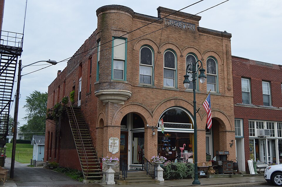
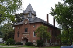
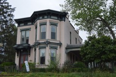
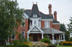
Built in 1897 in the Romanesque Revival architecture. Listed on the National Register of Historic Places in
1975. A historic map-sheet match is not published yet. The record needs a coordinate-quality review before it can be joined to a sheet boundary.
From the record
one of 21 National Register listings in Wood County · listed in 1975 · category: Building · built in 1897, Romanesque Revival architecture · one of 1 National Historic Landmarks in Wood County.
National Register reference number.75001555- the number the National Park Service assigned this property when it was listed, and the key its nomination file is catalogued under at the National Archives.
Fires near this property
1 since 2002
Regional context, not property-specific
evidence. The
federal wildfire occurrence database
lists 1 fire within 5 miles of Thurston Building between
2002 and 2002, burning about 0 acres in total. None started naturally. None was recorded as arson.
Distance is straight-line from the map coordinates, so a fire counted
here may appear on a neighbouring settlement's page as well.
Reported cause
Fires
Recreation and ceremony
1
The most recent of
them, most recent first, with the day each was reported and the service
that recorded it.
Regional context, not property-specific
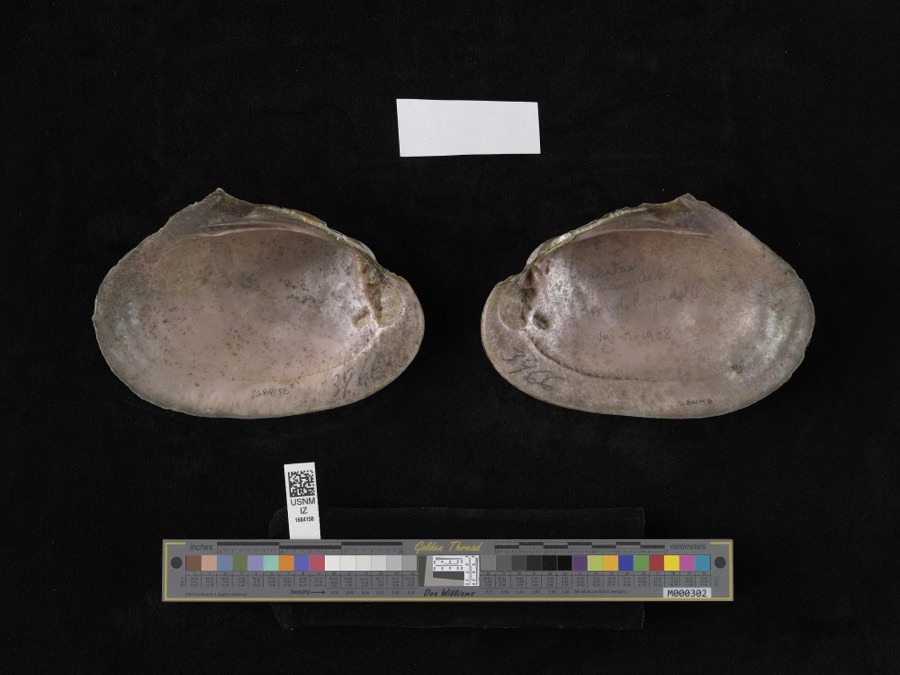
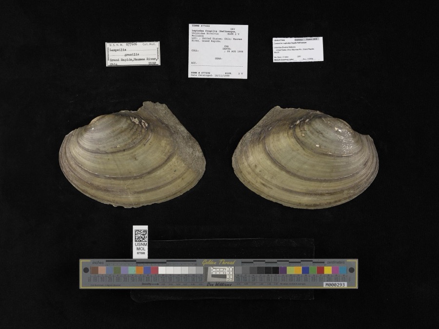
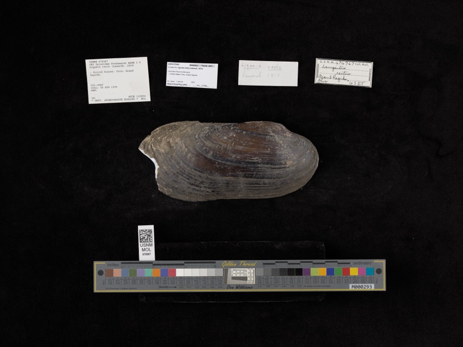
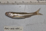
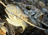
evidence. Museums hold 509 specimens
collected within 10 miles of Thurston Building between 1860 and
1974: 461 Animalia, 43 Plantae, 3 Fungi, 1 Unrecorded, 1 Chromista. 12 distinct Species records are shown.
Collected by A. D. Selby, Bureau of Fisheries, Campbell, L. W. (Louis W.) and others. Each is a
physical object with a catalogue
number, and each entry opens the museum's record. This is what was
collected and kept, not a survey of what lives here - nothing can be
concluded from a species being absent.
Regional context, not property-specific
evidence. The National Weather Service names
Grand Rapids, the town this property stands in, in 9 storm reports between 2007 and 2024: 5 thunderstorm wind, 3 flood, 1 hail.
No death or injury is recorded in these reports. Each account below is quoted exactly as the forecast office
filed it, from the NOAA Storm Events Database, and each date
opens the federal record of that event.
Thunderstorm downburst winds estimated to be at least 60 mph caused damage throughout northern Wood County. Damage was reported from the Grand Rapids area northeast across Perrysburg Township to near Millbury in the northeast corner of the county. Several barns and outbuildings were damaged in the Dowling area and a mobile home in Millbury was heavily damaged. Several homes south of Perrysburg sustained damage from fallen trees. At least one home in Rossford also sustained damage. Hundreds of trees and limbs along with a few utility poles were downed across northern Wood County. Scattered power outages were reported.
The Maumee River flooded it's banks in the city of Grand Rapids in late June due to several days of heavy rain across the entire Maumee Basin. The river crested at 19.2 feet in moderate flood stage around 8 pm on the 29th. Several businesses in downtown Grand Rapids were inundated with a few inches of water. West, Beach, and Front Streets were the most impacted. Grand Rapids Chamber of Commerce said of this flooding that this was the most significant non-winter flood event Grand Rapids has ever experienced.
Heavy rain and rapid snow melt led to a flooding over Grand Rapids in Wood County. Around two inches of rainfall fell on six inches of heavy snow was on the ground. This snow rapidly melted as temperatures warmed into the 50s on the 28th. Up to an additional inch of water equivalent rainfall was released from the melted snow. Small streams and creeks overran their banks, flooding low lying portions of Grand Rapids. Backup in the town storm water and sewer systems were reported to have caused some of the flooding issued as well. The only property damage reported was minor basement flooding.
Maumee River at Grand Rapids rose above moderate flood stage cresting just over 18.0 feet. At this level Mary Jane Thurston Park and a residance near the river flooded. Some backwater to storm water drainage resulted in water issues in town, but no property was impacted as a result.
2 papers published in this town,
digitised by the Library of Congress and free to read: 0 issues,
0 pages. Every page is searchable, so a name or a street can be
looked for directly in what the town printed about itself at the time.
No historic map-sheet match is published
for this property yet. That does not mean no map exists. This record needs
a coordinate-quality review before it can be joined to a sheet boundary.
Browse the county's mapped places while that work is
pending.
From the nomination file
1,366 words on record
When this property was proposed for the
National Register, someone wrote the case for it: what the building is,
and why it matters. That document is a federal record in the public domain.
It is quoted below word for word, never summarised. The text was read off the scanned case file by machine, so the
occasional stray character is the recogniser's and the 1970s
typewriter's.
Description of the property
an oriel window on the northeast corner of the building. This once the parapet in which THURSTON is spelled out in raised letters. recessed doorways.One of these entrances leads to the store, the with contrasting brick.There isa single step in the center of Fair - Pre-Columbian | - 20th Century - Urban Planning - Other (Specify) X] Science - Sculpture Commerce : - Transportation STATEMENT OF
Statement of significance
advertised to cure constipation, headache, biliousness, torpid The building was headquarters for not only his pharmacy, but for MAR 1 8 1975 Conservation Military REGISTER Communications NATIONAL SIGNIFICANCE Aboriginal patent medicine. RECEIVED Prehistoric Architecture Theater losophy Agriculture Literature Industry Music itarian Azor's daughter. Invention Political Landscape Education remedies were highly known and used with confidence. The building is important as one of few nineteenth century his real estate firm and was the birthplace of the Grand Rapids neighboring buildings and was later owned by Helen Thurston, The pharmacy survived the fire of 1898 which destroyed eighteen Engineering Social/Human- soda fountain still along the west wall.
Thurston is notable since it provides an insight into early The building has always housed a pharmacy and the one there buildings remaining in Grand Rapids and as a late nineteenth Religion/Phi. PERIOD One or More as Appropriate) SPECIFIC DATE(S) (Il Applicable and Known) AREAS OF SIGNIFICANCE (Check One or More as Appropriate) century commercial building. Its association with Azor 1897 Art Banking Company of which Mr.Thurston was the first cashier. was a highly respected writer on pharmacology and a most highly The Thurston building was built by Azor Thurston in 1897.Thurston Thurston's Pills and Thurston's Sarsaprilla. The pills were noted citizen of the village of Grand Rapids.He manufactured Beers & Co., 1897.
Quoted from the National Register nomination
for reference 75001555, 11 pages, held by the National Archives in Record
Group 79. See the
catalogue record.
Listed places nearby
4 within 8 miles
Other National Register properties close
enough to walk or drive between, ordered by distance from this one. Both
positions come from the same geocoding pass that matched these properties
to their map sheets.
Listing record. National Park Service National Register of Historic Places, listed-properties dataset, current to 2026-05-22.
Map join. Address geocoded through the United States Census geocoder, then tested against the published boundary of every sheet in the USGS Historical Topographic Map Collection.
How this page is made. Listing fields come from federal records; map-sheet coverage is a labelled coordinate-to-boundary calculation, not a source-field claim.
Wildfire. Short, Karen C. 2022. Spatial wildfire occurrence data for the United States, 1992-2020 [FPA_FOD_20221014]. 6th Edition. Fort Collins, CO: Forest Service Research Data Archive. https://doi.org/10.2737/RDS-2013-0009.6 Collected with United States Government funding and usable without additional permissions or fees.
Specimens. Global Biodiversity Information Facility (GBIF), https://www.gbif.org/. Only records licensed CC0 or CC BY are used. Records licensed CC BY-NC are excluded because this site carries advertising. Images are checked individually and any whose licence is non-commercial, no-derivatives or unreadable is refused.
Storms. NOAA National Centers for Environmental Information, Storm Events Database https://www.ncei.noaa.gov/stormevents/ A work of the United States government, no copyright under 17 U.S.C. 105. Narratives are quoted verbatim from the National Weather Service report and are not edited or summarised.
 Block
Block