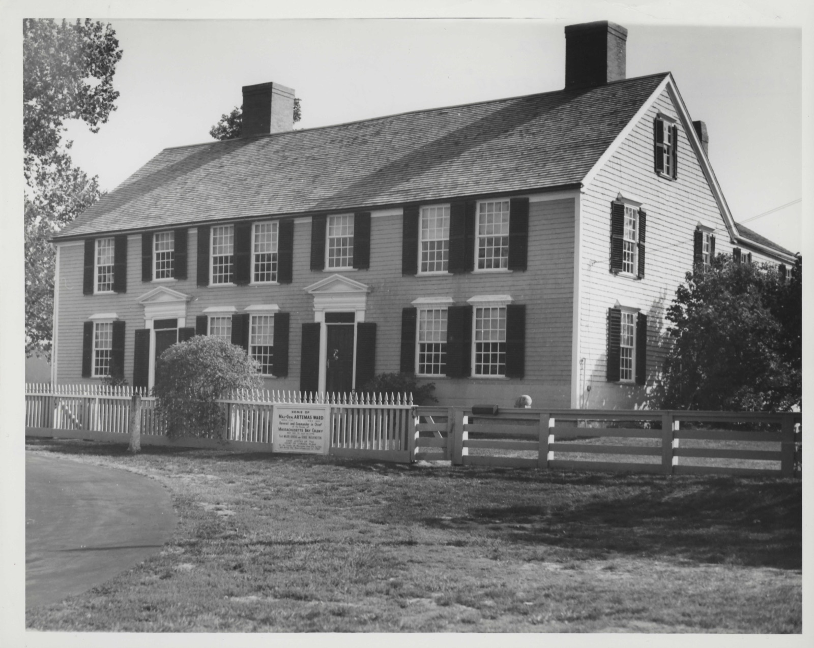
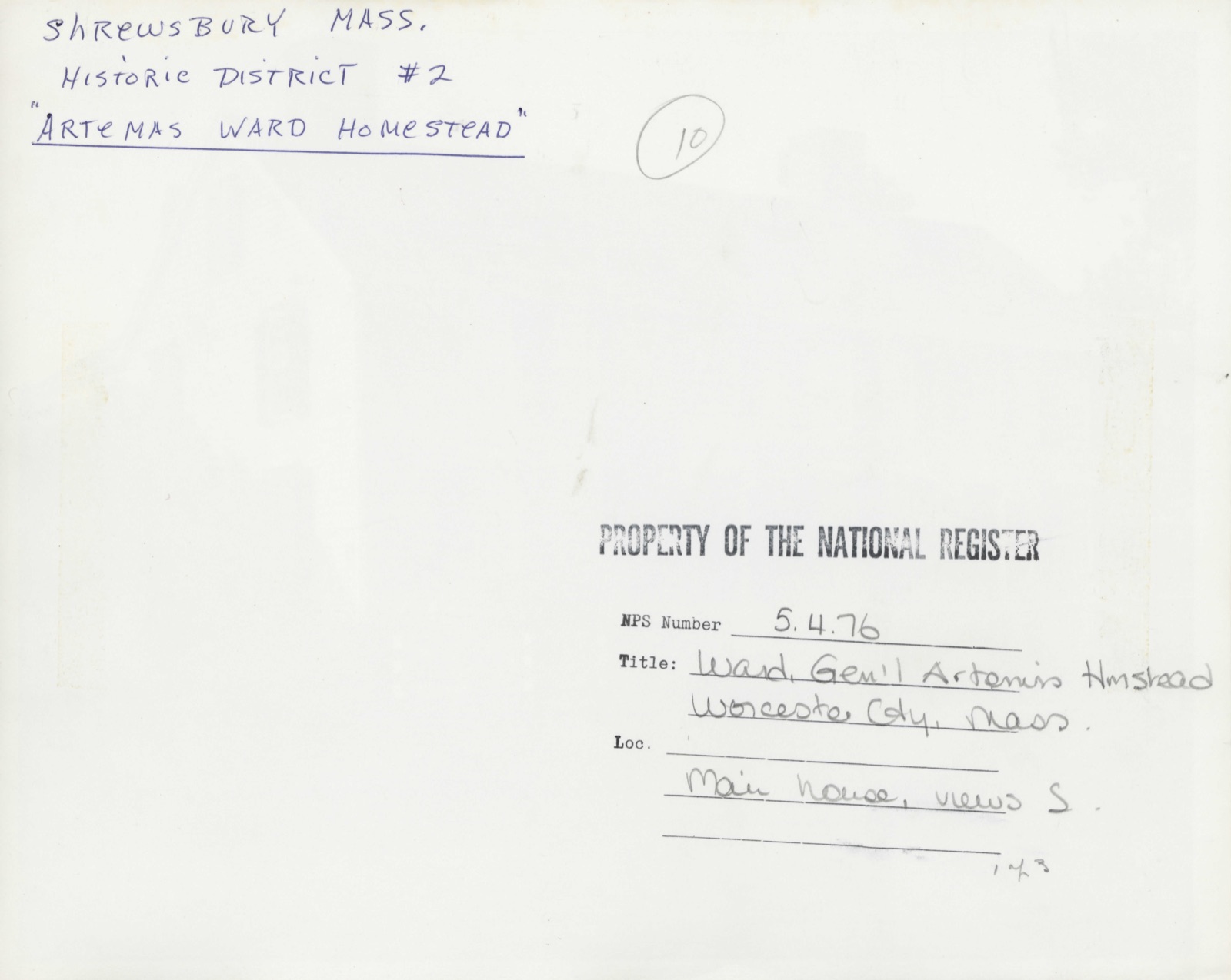
Photographs from the nomination case file, National Park Service records.
Ward, Gen. Artemas, Homestead
Listed on the National Register of Historic Places in
1976. A historic map-sheet match is not published yet. The record needs a coordinate-quality review before it can be joined to a sheet boundary.
From the record
“Although the color of the inside has several times been changed, the white church remains yet a landmark to all the country round. The style of architecture belonging to that period may be seen in a few other buildings in town, the Haven Tavern being one.”
Old Times in Shrewsbury, Massachusetts. Gleanings from History and Tradition (1892). Machine-read text.
one of 500 National Register listings in Worcester County · listed in 1976 · category: Building · one of 1 National Historic Landmarks in Worcester County.
National Register reference number.76000308- the number the National Park Service assigned this property when it was listed, and the key its nomination file is catalogued under at the National Archives.
The earliest recorded fact concerning any inhabitant of Shrewsbury comes to us from the soil itself, and from a grave found upon our borders. Here we learn that the mastodon once roamed in his majesty over our hills, and claimed one of our valleys for his last resting-place. For an unknown number of years no owner of the soil had any suspicion that beneath the smooth, heavy sod m the meadow lay a gigantic body, until the flesh had become a part of the soil and the bones had crumbled to dust. In 1884, while Mr. W. U. Maynard, the present owner, was having a deep trench dug, in order to drain and improve the land, the spades of the workmen brought up with the dark soil nine beautiful, polished teeth darkened with earth stains, and resembling choice specimens of agate. These with a few fragments of bone were all that remained of the "Mastodon Giganteus. " In close proximity to these teeth was found a human skull, and the mystery surrounding the fact, that these two skulls were found in one place eight feet below the surface of the ground, has not yet been cleared away. Perhaps a ray of light is shed upon the human skull by a recent reliable historian, W. T. Harlow, who tells us that undoubtedly this farm was the first in town occupied by a white man, and that this man was ]Mr. Warner. He also tells us that ]Mr. Warner suddenly disappeared and no trace of him was ever found. May not this be a trace, this skull without a name.? Doubtless I\Ir. Warner lost his way in the trackless swamp and sank in the soft mire to the rock bed on which lay the mastodon. This spot may now be seen in the meadow bordering on the Northboro line and the county road, at the right as you go westward. The mastodon teeth are preserved by the Natural History Society in Worcester, and Mr. Warner's skull (if it be Mr. Warner's) was sent to the Peabody Museum in Cambridge, where it has been examined by scientists and pronounced by them to be a remarkable specimen ; they also deemed it worthy of a learned treatise by one of their number. It is fitting that the memory of the first white inhabitant should be thus perpetuated.
New World which was at that time attracting so many adventurers from beyond the sea, Isaac Johnson had gathered together all that he had, and taken his portion of his grandfathers estate to take himself and his frail young wife to America and establish there a home for themselves. After their arrival, he made himself useful to the government and received as remuneration a grant of several hundred acres of land lying in the northwest part of what was afterwards called Shrewsbury. The Lady Arbella found refuge for a time in Salem in the home of friends, but she soon faded away like a delicate tropical flower in the cold, hard life which she found in New England. Her amiable and heart-broken husband followed her in one month, his grave being the first m King's Chapel burying ground in Boston. It is pleasant to feel that the story of the charming Lady Arbella is even so remotely connected with any part of our town, though it is probable that neither of them ever saw the Shrewsbury land.
Regional context, not property-specific
evidence. The
federal wildfire occurrence database
lists 42 fires within 5 miles of Ward, Gen. Artemas, Homestead between
2002 and 2020, burning about 19 acres in total. None started naturally. 6 were recorded as arson.
Distance is straight-line from the map coordinates, so a fire counted
here may appear on a neighbouring settlement's page as well.
Reported cause
Fires
Debris and open burning
20
Missing data/not specified/undetermined
8
Smoking
7
Arson/incendiarism
6
Recreation and ceremony
1
The most recent of
them, most recent first, with the day each was reported and the service
that recorded it.
Regional context, not property-specific
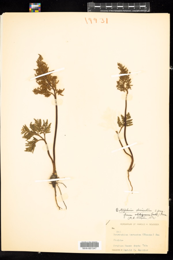
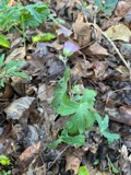
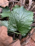
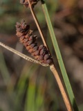
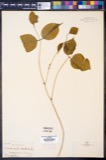
evidence. Museums hold 1,761 specimens
collected within 10 miles of Ward, Gen. Artemas, Homestead between 1839 and
1975: 956 Plantae, 556 Animalia, 225 Fungi, 14 Unrecorded, 6 Protozoa, 4 Chromista. 12 distinct Species records are shown.
Collected by A E WOODHEAD, A. A. Eaton, A. B. Seymour and others. Each is a
physical object with a catalogue
number, and each entry opens the museum's record. This is what was
collected and kept, not a survey of what lives here - nothing can be
concluded from a species being absent.
Regional context, not property-specific
evidence. The federal mineral resources record lists
8 workings within 5 miles of Ward, Gen. Artemas, Homestead: 5 past producers, 3 producers.
3 still produce. What was taken out: Sand and Gravel, Construction, Stone. Distance is straight-line from the
map coordinates, so a quarry counted here may appear on a neighbouring
settlement's page as well.
Regional context, not property-specific
evidence. The National Weather Service names
Shrewsbury, the town this property stands in, in 22 storm reports between 1995 and 2023: 10 thunderstorm wind, 5 hail, 4 flood, 2 flash flood.
The reports record 3 injuries. Each account below is quoted exactly as the forecast office
filed it, from the NOAA Storm Events Database, and each date
opens the federal record of that event.
In Shrewsbury, Route 9 from the Worcester/Shrewsbury line to Route 140 was flooded. In Worcester, flash flooding resulted in motorists being rescued from their cars and homeowners trying to get water out of their basements. Sunderland Road and Bowman Lane were both closed due to flooding, while Lake Street had three feet of water standing in the street. Water on a side street to Hamilton Street overtopped the roof of a car stalled in the road. Flood waters inundated at least 70 basements with water standing 12 to 18 inches deep.
No historic map-sheet match is published
for this property yet. That does not mean no map exists. This record needs
a coordinate-quality review before it can be joined to a sheet boundary.
Browse the county's mapped places while that work is
pending.
From the nomination file
3,609 words on record
When this property was proposed for the
National Register, someone wrote the case for it: what the building is,
and why it matters. That document is a federal record in the public domain.
It is quoted below word for word, never summarised. The text was read off the scanned case file by machine, so the
occasional stray character is the recogniser's and the 1970s
typewriter's.
Description of the property
The General Artemas Ward Homestead consists of the country house of General Artemas Ward, a curator's residence, smoke house, and barn. The complex is located on 5½ acres of the original 100-acre estate, and overlooks Dean Park to the north. The main house faces onto Main Street, formerly the Boston Post Road, which leads into Shrewsbury Center. The early section of the house was built in 1727 and was enlarged in 1785. The two-story clapboard building has a seven-bay facade with two front entrances leading into either portion of The overall appearance is one of symmetry, although there is only one window to the left of the east entrance and two to the right of the west entrance.
The shuttered windows have twelve-over-twelve lights except for those over the doors which have eight-over-twelve sash. Molded lintels project over the first floor windows, while windows on the second story are positioned close under the eaves. The two doorways are identical, and have heavy paneling accented with large brass knockers. The entrances have pilasters and shutters on either side surmounted by a full entablature and pediment. Large granite stones are at each threshold. The building is painted grey, with white trim and black shutters and doors. The ridge roof is topped with two brick chimneys. Another chimney stands over the ell which projects to the southeast. On the interior, most features have undergone little alteration.
Iwo enclosed stairways lead to the second floor in either portion of the house, and handsome wainscoting is in evidence throughout. There are also wide floor boards and solid shutters which slide across the windows on the interior.
/ARCHITECT STATEMENT OF SIGNIFICANCE The General Artemas Ward Homestead is significant as the home of a well-known Revolutionary War leader and as the most handsome eighteenth century structure in Shrewsbury, Massachusetts. General Artemas Ward (1727-1800) was probably the most noteworthy and prominent of the sons of Shrewsbury. His father, Colonel Nathum Ward was born in Marlboro, and later was among the first settlers of the Town of Shrewsbury. There he became a proprietor and founder of the church. He rose to the rank of Colonel and served as magistrate of the Court of Common Pleas of Worcester County. In 1727 Nathum Ward built the Ward Homestead, one of a number of Ward family homes in Shrewsbury.
In 1760 his son Artemas and his wife moved to the country home from the center of Shrewsbury. In 1785 the house was doubled with the addition of a section to house General Artemas Ward's son and daughter-in-law. Artemas Ward is best known for his contributions to the patriot effort in the Revolutionary War. Before the outbreak of war, Ward represented Shrewsbury in the General Court and took an active role in the controversies between the Colonial Royal Governors and the House of Representatives. He boldly denounced Parliamentary measures enforced by the Governors which en- croached on the rights of the colonies.
Ward succeeded Abraham Williams as commander of the Third Regiment and gave politicalas wellasmilitary in- struction to troops under his command -- an action which incited the anger of the Governor. In 1768 he was elected to the House of Representatives, and when hostilities broke out at Iexington and Concord in April 1775, he rode to Cambridge to take command of militiamen there. With them he began the siege of Boston, which eleven months later resulted in expelling the British.
Quoted from the National Register nomination
for reference 76000308, 19 pages, held by the National Archives in Record
Group 79. See the
catalogue record.
Listed places nearby
6 within 8 miles
Other National Register properties close
enough to walk or drive between, ordered by distance from this one. Both
positions come from the same geocoding pass that matched these properties
to their map sheets.
Listing record. National Park Service National Register of Historic Places, listed-properties dataset, current to 2026-05-22.
Map join. Address geocoded through the United States Census geocoder, then tested against the published boundary of every sheet in the USGS Historical Topographic Map Collection.
How this page is made. Listing fields come from federal records; map-sheet coverage is a labelled coordinate-to-boundary calculation, not a source-field claim.
Wildfire. Short, Karen C. 2022. Spatial wildfire occurrence data for the United States, 1992-2020 [FPA_FOD_20221014]. 6th Edition. Fort Collins, CO: Forest Service Research Data Archive. https://doi.org/10.2737/RDS-2013-0009.6 Collected with United States Government funding and usable without additional permissions or fees.
Specimens. Global Biodiversity Information Facility (GBIF), https://www.gbif.org/. Only records licensed CC0 or CC BY are used. Records licensed CC BY-NC are excluded because this site carries advertising. Images are checked individually and any whose licence is non-commercial, no-derivatives or unreadable is refused.
Mines and quarries. USGS Mineral Resources Data System (MRDS) https://mrdata.usgs.gov/mrds/ A work of the United States government, no copyright under 17 U.S.C. 105.
Storms. NOAA National Centers for Environmental Information, Storm Events Database https://www.ncei.noaa.gov/stormevents/ A work of the United States government, no copyright under 17 U.S.C. 105. Narratives are quoted verbatim from the National Weather Service report and are not edited or summarised.
 Block
Block