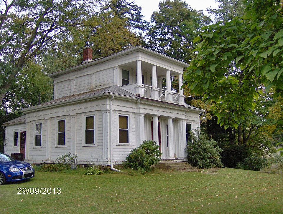
National Register reference number.76001368- the number the National Park Service assigned this property when it was listed, and the key its nomination file is catalogued under at the National Archives.
Then and now
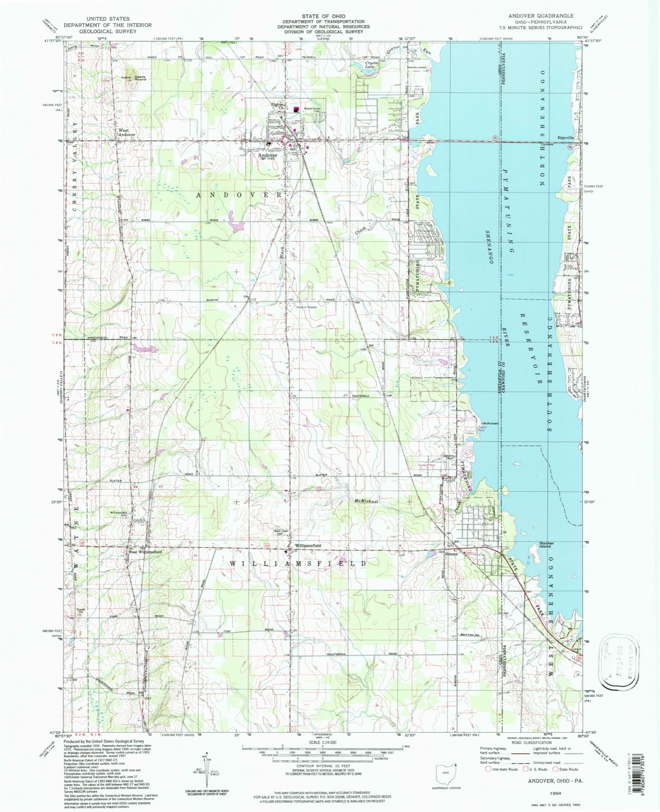
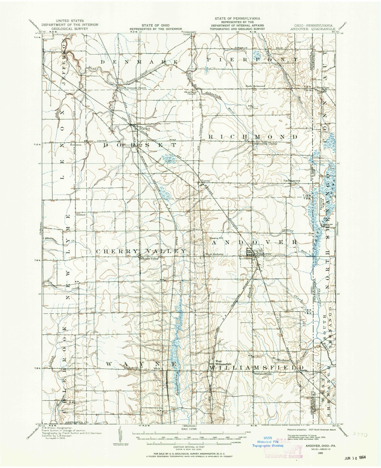
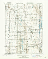
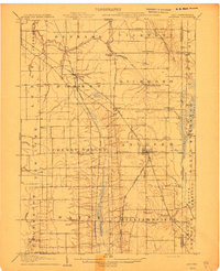
1905 to 1994
The ground this property stands on, surveyed
89 years apart. Drag the handle to wipe between them. Both sheets are
United States Geological Survey originals; neither has been altered.
19051994
The ground it stands on
5,180 words
The chapter on Andover Township in History of Ashtabula County, Ohio, published 1878 names West Andover. This is what it says, exactly as the scans read.
The first settlements were begun in the portion of the township now denominated West Andover, and for years the business of the township was conducted at this point. Epephras Lyman, originally from New Hartford, Litchfield county, Connecticut, was the first white person who attempted a settlement ; this was on lot No. 6, in the year 1805 or 1806. B. F. Perry, who married a daughter of Mr. Lyman, now owns a portion of this farm. Mr. Lyman was at this time a single man, and a small cabin, which he erected for his own convenience, stood on or near the west line of the township. To Zadoc Steele, however, belongs the honor of being the first permanent settler who brought a family into the wilderness. His native place was near Hartford, Litchfield county, Connecticut. In 1806, Mr. Steele made his first visit to Ohio, coming on foot to Albany, thence up the Mohawk river, finally reaching Austinburg, at which point there was a small settlement. From that point he found his way to No. 9 of the first range by the aid of a pocket-compass, there being no road. His selection of land was on lot No. 6. Returning to Connecticut, he completed his arrangements, and in June, 1808, with his wife and son Walcott, loaded his household goods into a sleigh, to which was harnessed a stout team of horses, and, in company with three neighbors, began the journey which was to terminate in the then far western wilderness. After many mishaps by " field and flood," Mr. Steele and family finally arrived at their destination. They occupied the cabin formerly built by Lyman, until he had erected the first log house in the township. This was in size some twenty by twenty-six feet, and was considered a model establishment of its kind. Its location was a few feet south of the spot where now stands the Steele mansion. The children of this pioneer were Walcott, before mentioned, who was the eldest child (married Lovina Johnson, and now resides at Shirland, Winnebago county, Illinois) ; William, who married Caroline Woodruff, and now lives at Homestead, Michigan ; Francis, who married Rosetta Andrews, deceased at Shirland, Illinois, January 31, 1850 ; Almon, who married Anna Adams, died in Iowa, September, 1865 ; Harriet, who married Eldad W. Merrell, died May, 1 866, in the old homestead, - the children of Harriet still residing there with Aunt Abbie, who was the next child ; Olive, the next child, married Grove E. Steele, died in Cherry Valley, May, 1861 ; Orange, a twin brother, died in infancy ; Cordelia and Sarah Ann, - both died when quite young.
The first road of which we have any record was the Salt road. This was a crooked affair, following the dry ridges or wherever a route could be established with the least trouble. In 1822 or thereabouts a turnpike was built from a point near the northwest corner of this township (now Lenox) to Conneaut. It is said considerable stock was taken in this road by West Andover residents, and that the dividends paid were about the same as are at present realized on most railroad stocks. In June, 1S19, a road was established from the State line to meet the north and south road in Xew Lyme.
Regional context, not property-specific
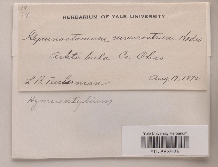
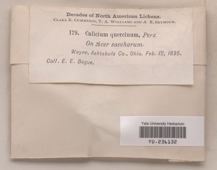
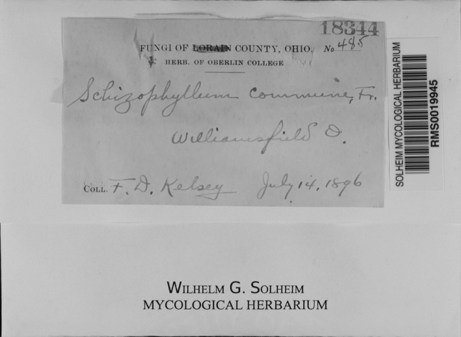
evidence. Museums hold 108 specimens
collected within 10 miles of John Henderson House between 1872 and 1974: 88 Animalia, 11 Plantae, 9 Fungi.
12 distinct Species records are shown.
Collected by Bogue, E.E., C. B. Hellquist, Davis, H.A.; Davis, T. and others. Each is a
physical object with a catalogue
number, and each entry opens the museum's record. This is what was
collected and kept, not a survey of what lives here - nothing can be
concluded from a species being absent.
Regional context, not property-specific
evidence. The National Weather Service names
West Andover, the town this property stands in, in 2 storm reports between 2010 and 2024: 1 tornado, 1 thunderstorm wind.
No death or injury is recorded in these reports. Each account below is quoted exactly as the forecast office
filed it, from the NOAA Storm Events Database, and each date
opens the federal record of that event.
An EF1 tornado touched down in eastern Ashtabula County. The initial touchdown occurred southwest of Andover near the intersection of Mann and Creek Roads. The tornado then traveled east northeast for approximately four and a half miles before lifting near the intersection of Pymatuning Lake Road and State Route 85. The tornado moved across the south side of Andover and then crossed Main Street just east of town. Significant tree damage was observed southwest of Andover. A barn in the area was heavily damaged. A warehouse on the southeast side of Andover was damaged and many trees in the area toppled. Several homes in the town sustained damage, mainly from lost roofing or siding. Many cars were also damaged from flying debris or downed limbs. Dozens of downed trees were also reported along the remainder of the damage path. Several boats were tossed into Pymatuning Reservoir just as the tornado lifted. The tornado may not have been in continuous contact with the ground the entire length of the damage path. The damage path was no more than 100 yards in width.
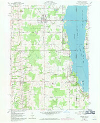
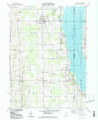
United States Geological Survey topographic
sheets whose coverage includes this point. Matched by taking the coordinate the National Park Service records for this property, then
testing that coordinate against the published boundary of every sheet.
When this property was proposed for the
National Register, someone wrote the case for it: what the building is,
and why it matters. That document is a federal record in the public domain.
It is quoted below word for word, never summarised. The text was read off the scanned case file by machine, so the
occasional stray character is the recogniser's and the 1970s
typewriter's.
Description of the property
order, with Doric capitals and Ionic bases. The four columns of the CONDITION DATE DESCRIPTION MOVED This was obviously put on some thirty years after the Civil War, character adversely. FAIR roof and a plain frieze board without the triglyphs of the front wing. XALTERED quality of the ornamental detail for the location of the house is also characteristic feature is the articulation of the elevations by pilasters. The pilasters have recessed convex fluted panels and square Doric This is a Greek Revival wooden frame house of unusually sophist- above a hipped roof, and is fronted by a second-story gallery which township with a related plan and possibly by the same builder.
The seen in the frieze of triglyphs, with mutules and guttae under the CHECK ONE or even more.recently.It does not affect the basic architectural others do not have the full round columns of this house, but the siding with a concave groove at the upper edge of each board). _DETERIORATED a one-story wing, making a T-shaped plan. It has a simple gable On the south side of the wing there is a sereened-in porch. The wall sheathing consists of horizontal drop siding X_ORIGINAL SITE - UNALTERED - UNEXPOSED -GOOD makes a double portico. The house is one of at least three in the icated design. The second story is smaller than the first, standing cornice. capitals.The two columns in the recessed porch are ofa combined order The window frames have a Greek 'eared pattern.The AREAS OF
Statement of significance
Above all, this house is one of the masterpieces of the Greek and judgment. ARCHEOLOGY-HISTORIC SIGNIFICANCE COMMERCE PERIOD POLITICS/GOVERNMENT SCIENCE ART AGRICULTURE THEATER BUILDER/ARCHITECT SCULPTURE LITERATURE TRANSPORTATION INDUSTRY design of the house, its excellent proportions and the fineness of the existing county records. The earliest documented owner was John ECONOMICS a young apprentice in his home together with his wife and three children. ornamental detail are all quite remarkable for its location in the _ENGINEERING Revival architectural idiom in all of northeastern Ohio.Although little -1700-1799 _COMMUNICATIONS _PREHISTORIC _CONSERVATION -1400-1499 _INVENTION _SOCIAL/HUMANITARIAN _MILITARY -1600-1699 time his real estate was valued at $2,0o0.
The sophistication of the The exact date of construction is impossible to verify from the _RELIGION village of West Andover. Henderson seems to have built this house sometime around1850. X1800-1899 Henderson.Henderson was born in New York State in 1805.He moved -MUSIC - LAW -_1900- _COMMUNITY PLANNING is known of its builder, he seems to have been a man of rare taste in 1860 he called himself a "joiner" and by 1870 "carpenter." At that ARCHEOLOGY-PREHISTORIC into Ashtabula County, Ohio, after 1840, working as a tailor and keeping
Quoted from the National Register nomination
for reference 76001368, 13 pages, held by the National Archives in Record
Group 79. See the
catalogue record.
Listing record. National Park Service National Register of Historic Places, listed-properties dataset, current to 2026-05-22.
Map join. Address geocoded through the United States Census geocoder, then tested against the published boundary of every sheet in the USGS Historical Topographic Map Collection.
How this page is made. Listing fields come from federal records; map-sheet coverage is a labelled coordinate-to-boundary calculation, not a source-field claim.
Specimens. Global Biodiversity Information Facility (GBIF), https://www.gbif.org/. Only records licensed CC0 or CC BY are used. Records licensed CC BY-NC are excluded because this site carries advertising. Images are checked individually and any whose licence is non-commercial, no-derivatives or unreadable is refused.
Storms. NOAA National Centers for Environmental Information, Storm Events Database https://www.ncei.noaa.gov/stormevents/ A work of the United States government, no copyright under 17 U.S.C. 105. Narratives are quoted verbatim from the National Weather Service report and are not edited or summarised.
 Block