Listed on the National Register of Historic Places in
1976. A historic map-sheet match is not published yet. The record needs a coordinate-quality review before it can be joined to a sheet boundary.
From the record
one of 19 National Register listings in Athens County · listed in 1976 · category: Building · one of 1 National Historic Landmarks in Athens County.
National Register reference number.76001369- the number the National Park Service assigned this property when it was listed, and the key its nomination file is catalogued under at the National Archives.
Fires near this property
27 since 2006
Regional context, not property-specific
evidence. The
federal wildfire occurrence database
lists 27 fires within 5 miles of Federalton between
2006 and 2020, burning about 55 acres in total. 1 started naturally. None was recorded as arson.
Distance is straight-line from the map coordinates, so a fire counted
here may appear on a neighbouring settlement's page as well.
Reported cause
Fires
Debris and open burning
13
Missing data/not specified/undetermined
5
Equipment and vehicle use
3
Power generation/transmission/distribution
3
Misuse of fire by a minor
1
Natural
1
Smoking
1
The most recent of
them, most recent first, with the day each was reported and the service
that recorded it.
Regional context, not property-specific
evidence. Museums hold 446 specimens
collected within 10 miles of Federalton between 1831 and
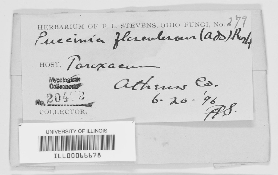
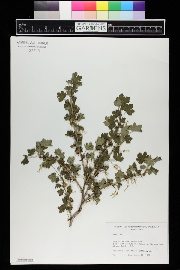
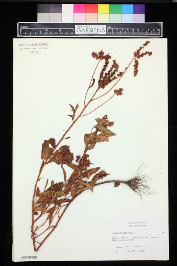
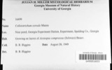
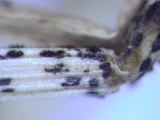
1975: 333 Animalia, 71 Plantae, 38 Fungi, 2 Unrecorded, 2 Protozoa. 12 distinct Species records are shown.
Collected by A. C. Kinsey, A. D. Selby, A. H. Blickle and others. Each is a
physical object with a catalogue
number, and each entry opens the museum's record. This is what was
collected and kept, not a survey of what lives here - nothing can be
concluded from a species being absent.
Regional context, not property-specific
evidence. The National Weather Service names
Stewart, the town this property stands in, in 5 storm reports between 1999 and 2024: 2 thunderstorm wind, 1 hail, 1 lightning, 1 flood.
No death or injury is recorded in these reports. Each account below is quoted exactly as the forecast office
filed it, from the NOAA Storm Events Database, and each date
opens the federal record of that event.
No historic map-sheet match is published
for this property yet. That does not mean no map exists. This record needs
a coordinate-quality review before it can be joined to a sheet boundary.
Browse the county's mapped places while that work is
pending.
From the nomination file
2,444 words on record
When this property was proposed for the
National Register, someone wrote the case for it: what the building is,
and why it matters. That document is a federal record in the public domain.
It is quoted below word for word, never summarised. The text was read off the scanned case file by machine, so the
occasional stray character is the recogniser's and the 1970s
typewriter's.
Description of the property
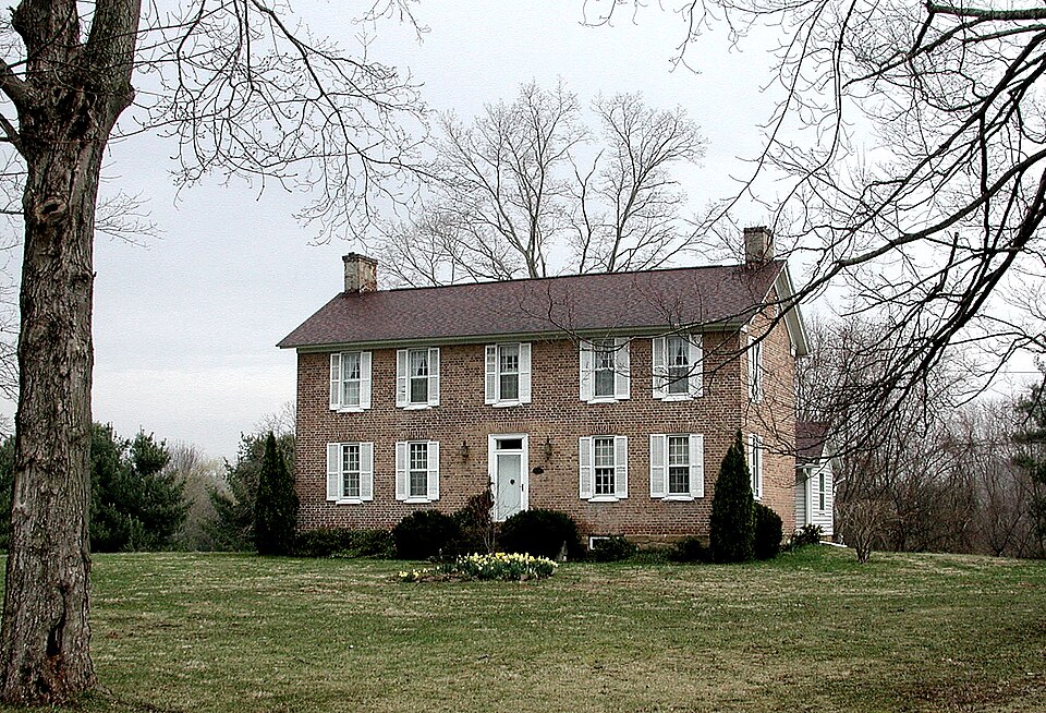
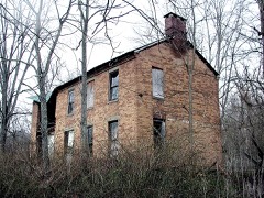
The two-story, brick house rests on a smooth stone foundation. The original home was an "L" running E-W from the north end of the main portion. In the 1850's to accommodate the width of the porch. The house is without any porch in the drawing of it in the 1875 Athens County Atlas. The interior is being restored. structure on the south - collapsed or removed years ago. The five bay facade (facing west) has a recessed, center entry which is framed by sills.The entrance and lst floor windows have brick headers. plain molding and has a single pane transom. and two small, square windows in the gable. The brick L is 1-1/2 story with AREAS OF
Statement of significance
The significance of the house is two-fold: architecturally it is a good example Athens County, Ohio and was the home of Daniel Stewart, founder of Stewart, Ohio. continued to Ohio to settle on the approximately 3,417 acres, two shares from the Ohio Land Company. The family completed their journey by boat down the Ohio to the up Jan. 1, 1802. The Stewarts (12 children and parents) lived first in a log cabin and began construction of this home in 1815. Another similar house was built forone of the elder Stewart children in Canaanville, eight miles away. William, the eldest child, was in charge of construction of Cutler Hall for Ohio University (NR) which is dated 1817. was appointed to the Ohio legislature as one of the appraisers for Ohio University Daniel B.
Stewart, youngest son of Daniel Stewart, laid out the village of Stewart, owned mills and land in the area, was a promoterand investor in the Marietta and of Athens, who was an Ohio Congressman for several years. 1700-1799 ECONOMICS 1400-1499 ART 1800-1899 LAW PHILOSOPHY PERIOD ENGINEERING ARCHEOLOGY-HISTORIC BUILDER/ARCHITECT SIGNIFICANCE THEATER PREHISTORIC AGRICULTURE lands.
LITERATURE TRANSPORTATION INDUSTRY SCULPTURE XARCHITECTURE INVENTION MUSIC X.EXPLORATION/SETTLEMENT _COMMUNICATIONS _SOCIAL/HUMANITARIAN _CONSERVATION Hockhocking River and poled their way upstream to the mouth of Federal Creek, tying -1500-1599 _MILITARY -1600-1699 In 1804 Daniel Stewart and his brother Archelaus founded the first Methodist Society -SCIENCE _RELIGION - EDUCATION Daniel Stewart was born in Litchfield, Conn.in 1762 and served in the Continental -1900- was built by the Stewart family, a prestigious and prominent pioneer family in Army as a teenager. With his family he emigrated to New Jersey in 1801; the journey in the Hocking Valley. A convert when living in New Jersey, Stewart was an ardent early County Commissioner, a Justice of the Peace and a Rome Township Trustee.
Quoted from the National Register nomination
for reference 76001369, 18 pages, held by the National Archives in Record
Group 79. See the
catalogue record.
Listed places nearby
1 within 8 miles
Other National Register properties close
enough to walk or drive between, ordered by distance from this one. Both
positions come from the same geocoding pass that matched these properties
to their map sheets.
Listing record. National Park Service National Register of Historic Places, listed-properties dataset, current to 2026-05-22.
Map join. Address geocoded through the United States Census geocoder, then tested against the published boundary of every sheet in the USGS Historical Topographic Map Collection.
How this page is made. Listing fields come from federal records; map-sheet coverage is a labelled coordinate-to-boundary calculation, not a source-field claim.
Wildfire. Short, Karen C. 2022. Spatial wildfire occurrence data for the United States, 1992-2020 [FPA_FOD_20221014]. 6th Edition. Fort Collins, CO: Forest Service Research Data Archive. https://doi.org/10.2737/RDS-2013-0009.6 Collected with United States Government funding and usable without additional permissions or fees.
Specimens. Global Biodiversity Information Facility (GBIF), https://www.gbif.org/. Only records licensed CC0 or CC BY are used. Records licensed CC BY-NC are excluded because this site carries advertising. Images are checked individually and any whose licence is non-commercial, no-derivatives or unreadable is refused.
Storms. NOAA National Centers for Environmental Information, Storm Events Database https://www.ncei.noaa.gov/stormevents/ A work of the United States government, no copyright under 17 U.S.C. 105. Narratives are quoted verbatim from the National Weather Service report and are not edited or summarised.
 Block
Block