123 topographic sheets and 26 fire insurance
atlases across 4 places.
Research this county
This curated hub for Athens County, Ohio brings together the page's documented record links, visible map or image evidence where published, and routes to related local records.
Use the page's provenance and linked records to distinguish the source material from the site's navigation and summaries.
How should I cite it?
Open the original record, preserve its repository and identifier, then use the citation tool for this page as a path back to the source.
Where should I go next?
Follow the county or state hub for related places and records, then use the guide for a source-aware research sequence.
From the record
19 National Register listings, of which 1 are National Historic Landmarks · 43 businesses named in the fire insurance atlases from 1890 to 1914 · the 1869 county history tells 1 stories and names 19 people · people the book names include Nathaniel Massie Michael Baldwin (Athens Township, 1869) (machine-read).
Ohio within the United StatesAthens County within Ohio
Explore by year
What the record shows
4 places in this county were surveyed for fire insurance: Athens, Nelsonville, Glouster, Jacksonville, between 1885 and 1951.
26 fire insurance atlas(es) survive for the county. Topographic coverage is national; fire insurance survey reached only incorporated places with something worth insuring.
1,696 topographic sheet readings cover the county's settlements.
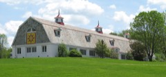
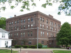
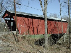
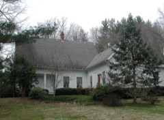
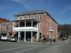
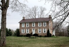
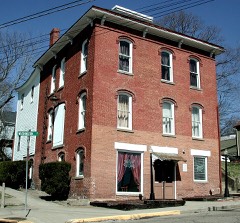
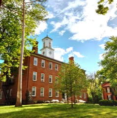
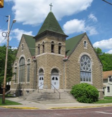
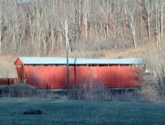
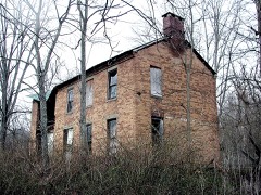
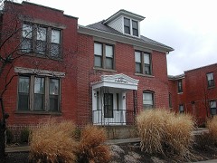
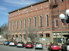
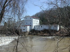
19 properties here are on the National Register of Historic Places, including 3 covered bridges, 2 historic districts, 6 houses and farms.
7 of the 19 listings were added during the 1970s.
The Geographic Names Information System records 101 populated places in this county; 0 are covered by at least one topographic sheet.
6 public-domain county histories, 1869 to 1920, supply 489,372 words of narrative reproduced here in full.
What happened here
1 accounts
A captivity, a drowning, a famine, a man
scalped clearing his lot in 1789. These are passages from History of Athens County, Ohio : and, Incidentally, of the Ohio Land Company and the First Settlement of the State at Marietta, with Personal and Biographical Sketches of the Early Settlers, Narratives of Pioneer Adventures, Etc., written
while people who remembered the events were still alive, and each one
opens the section it comes from.
1869, Athens Township
Utr Run
fired at and wounded the old bear, and then, wishing to see his dog kill one of the cubs, laid down his gun and. hissed his dog on to attack the cub - the old bear and other cub beating a retreat. Boyles, becoming interested in the fight between his dog and the cub, had approached near them, when he was disagreeably startled by seeing the old bear return, brought by the cries of the cub, and place herself between him and his gun.
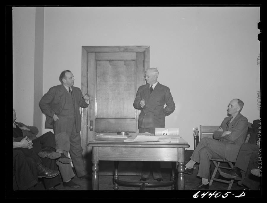
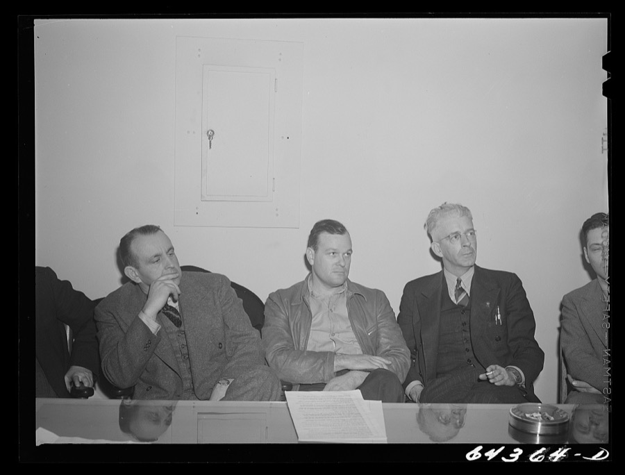
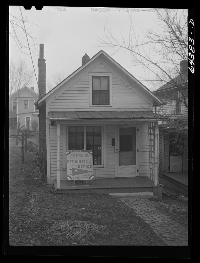
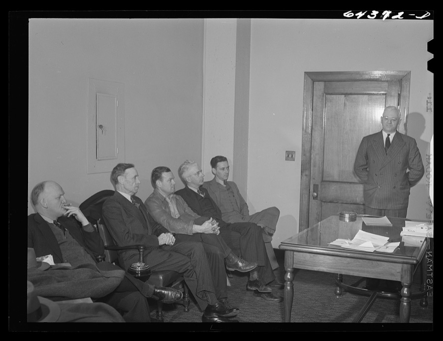
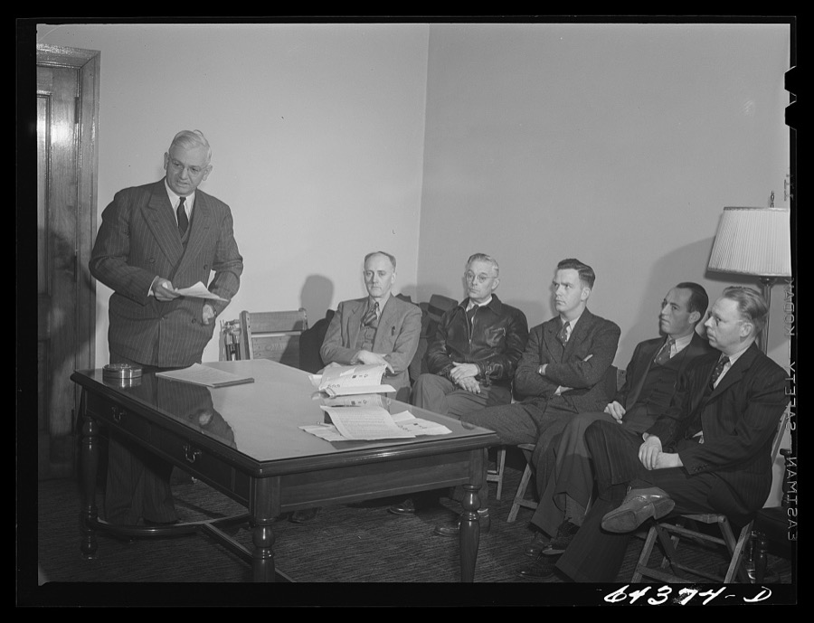
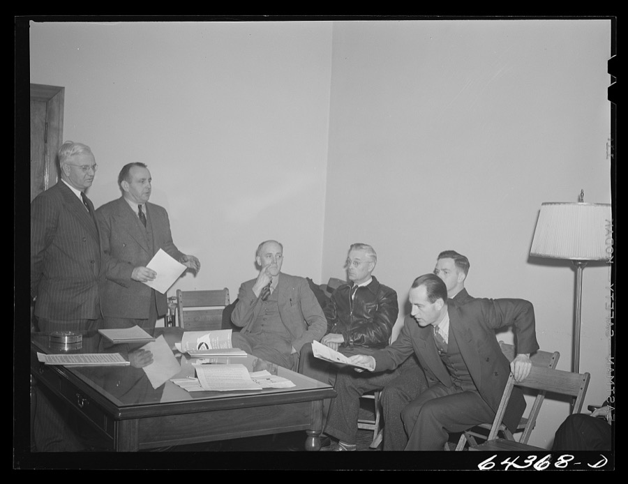
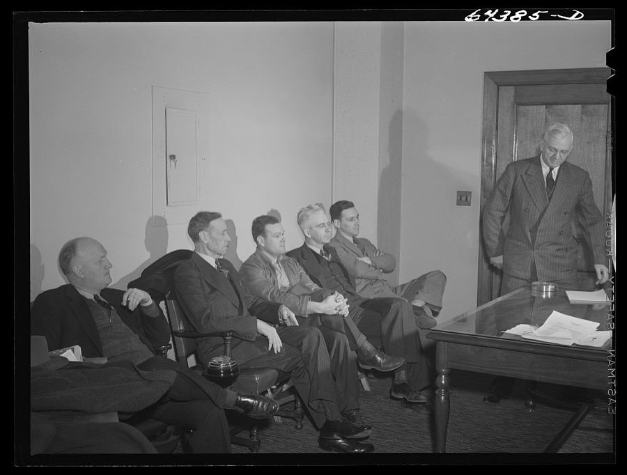
Taken for the Office of War Information and
the Farm Security Administration, who photographed the country between
1935 and 1944. Works of United States government photographers, with no
known restriction on use. Each opens its catalogue record.
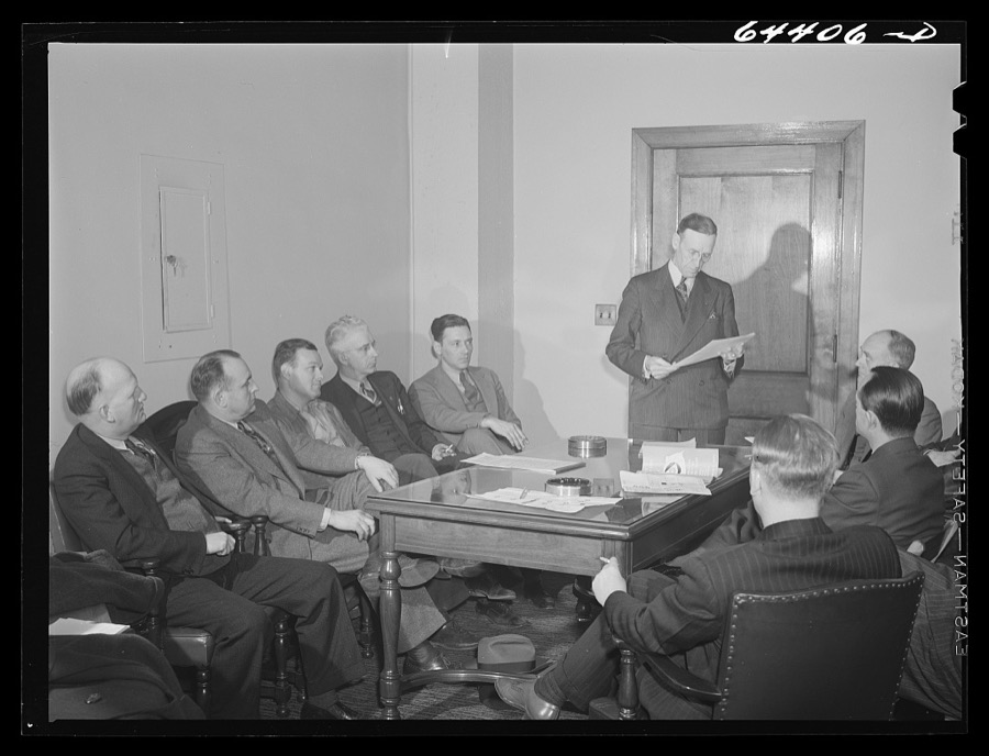
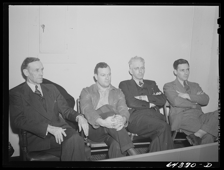
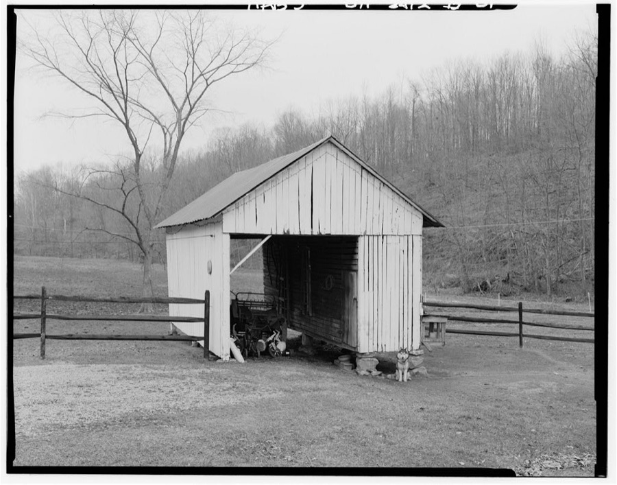
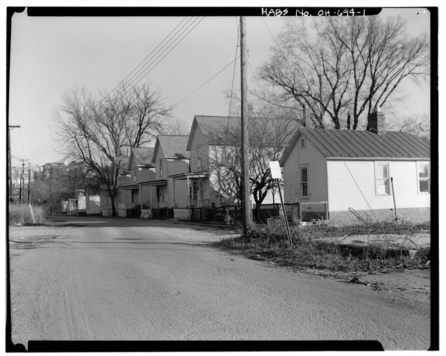
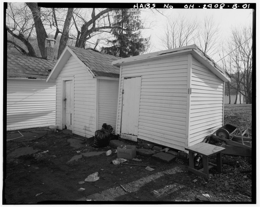
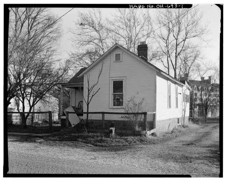
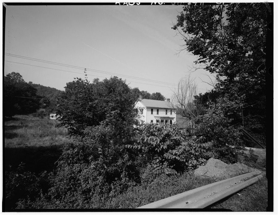
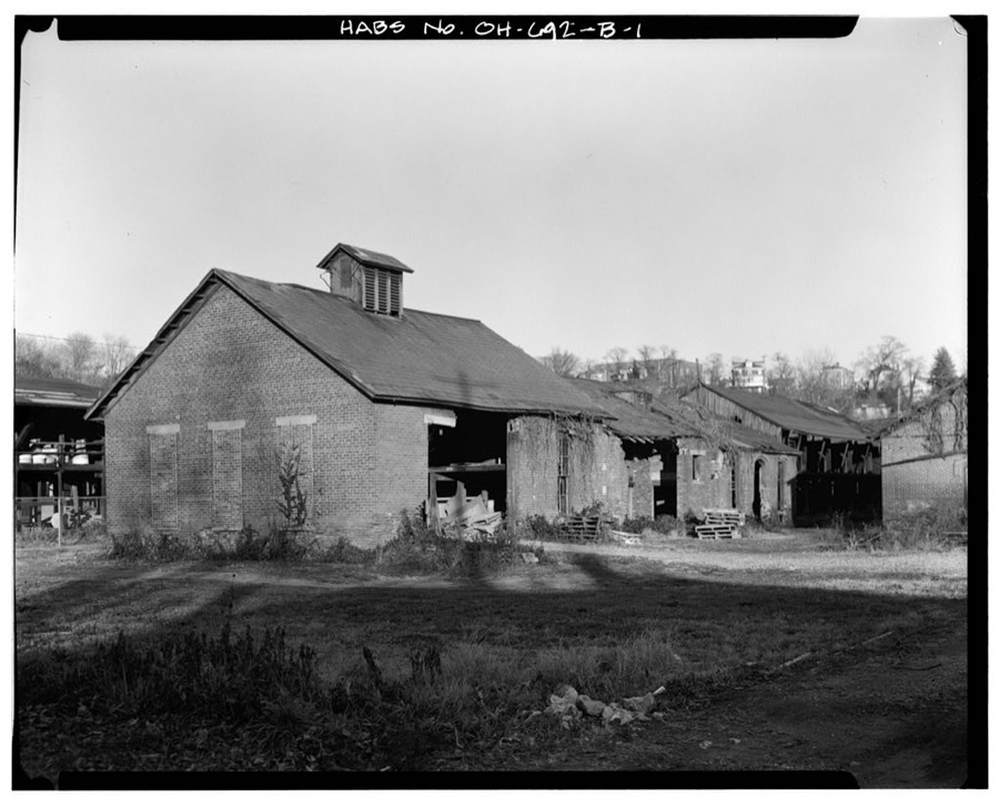
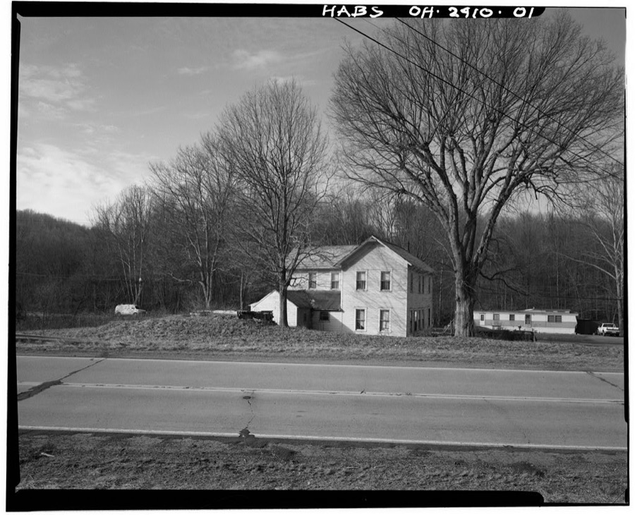
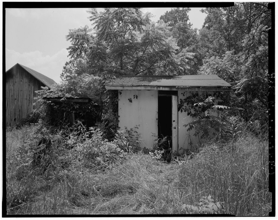
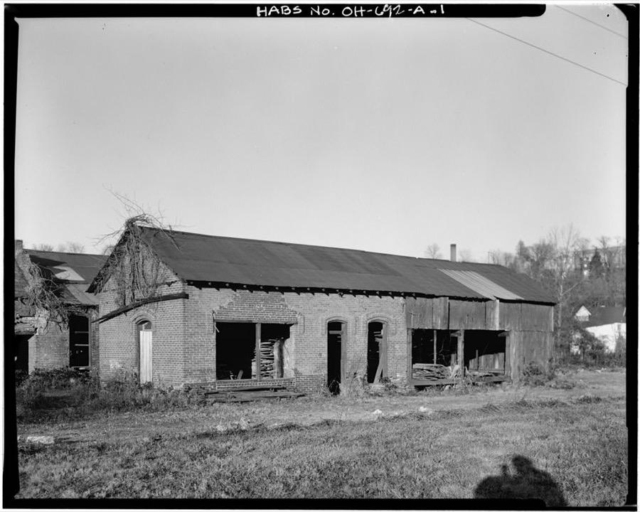
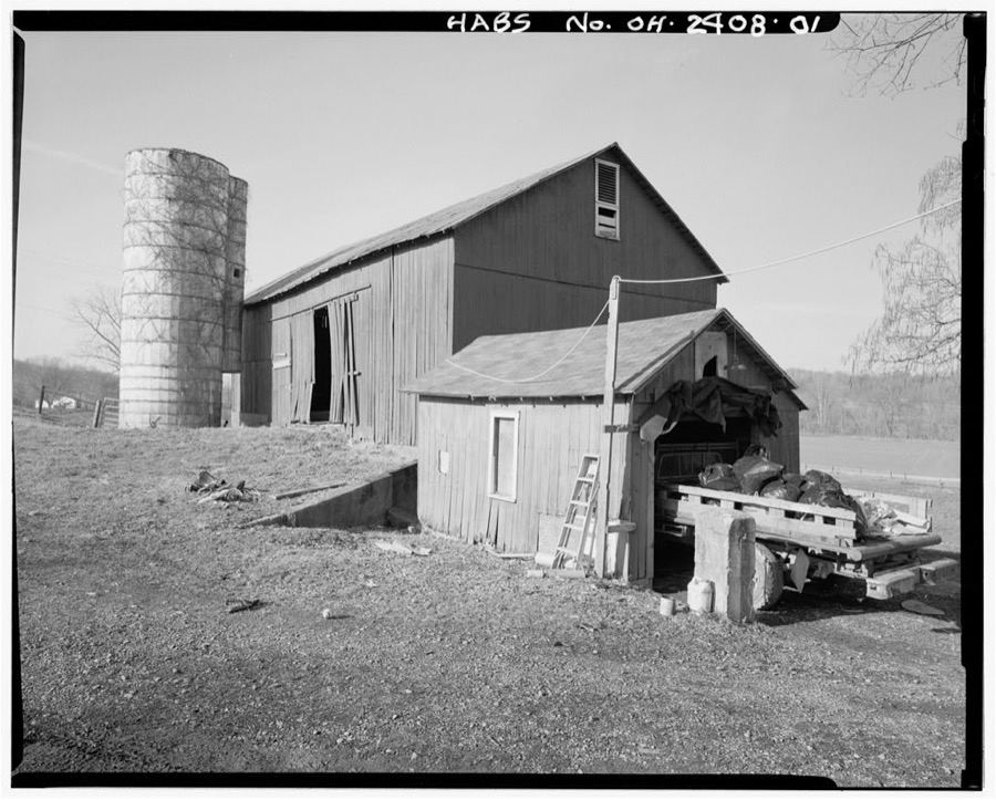
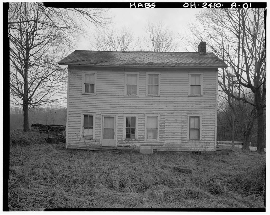
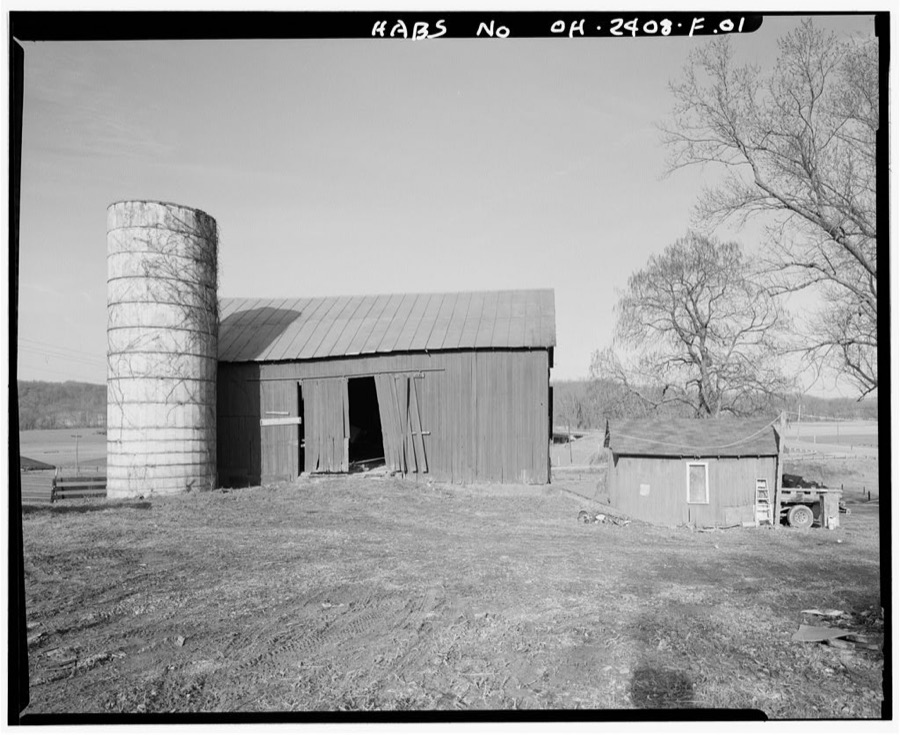
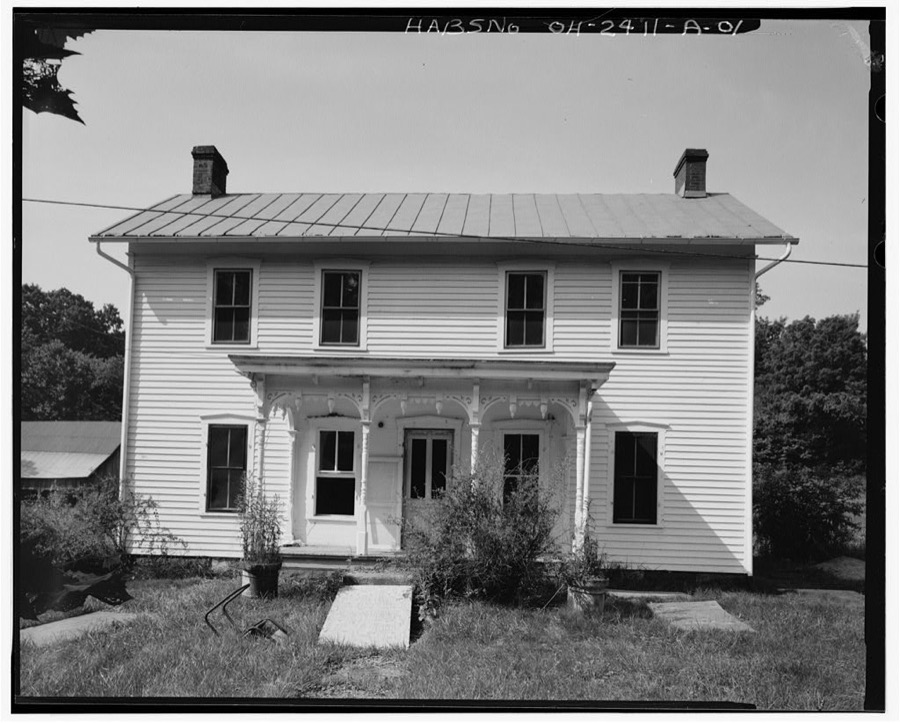
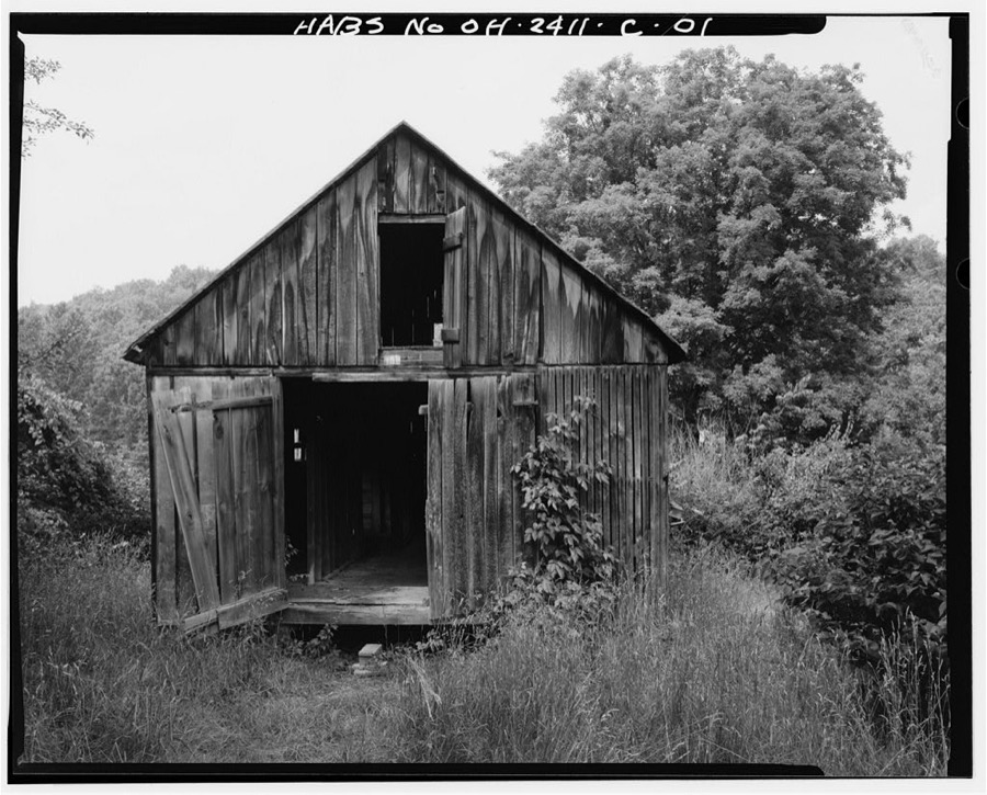
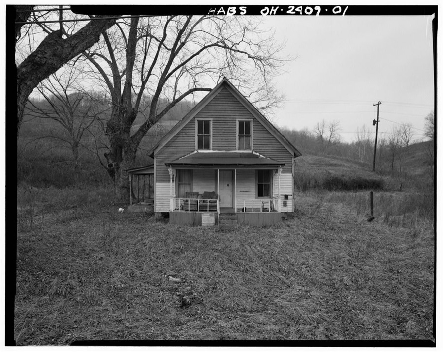
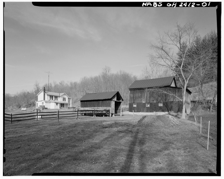
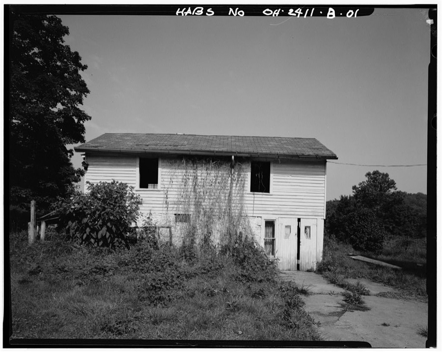
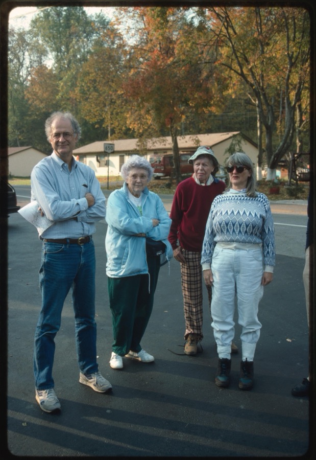
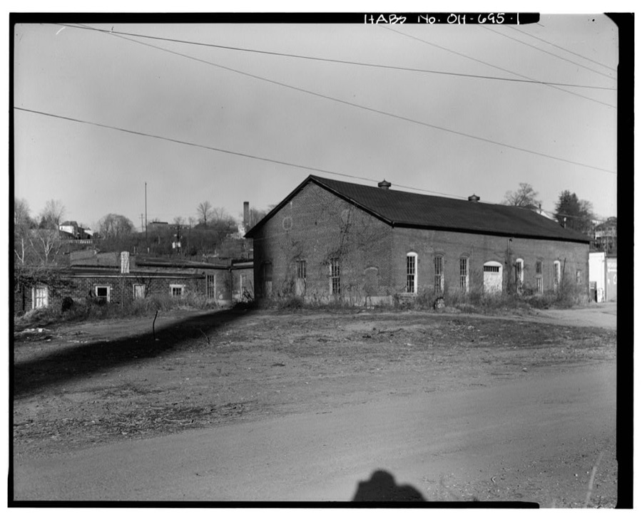
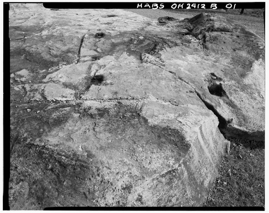
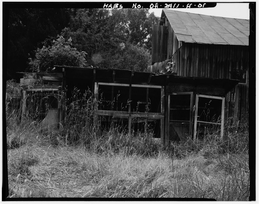
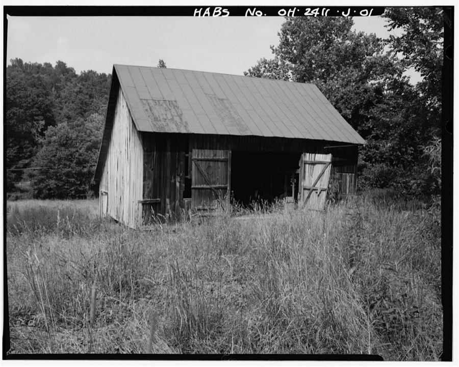
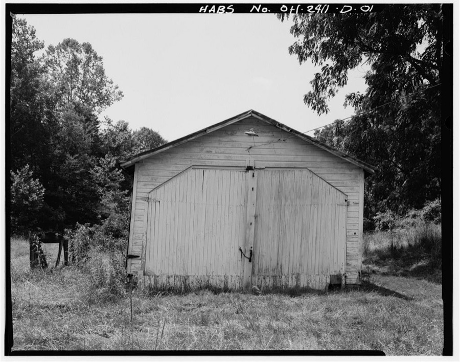
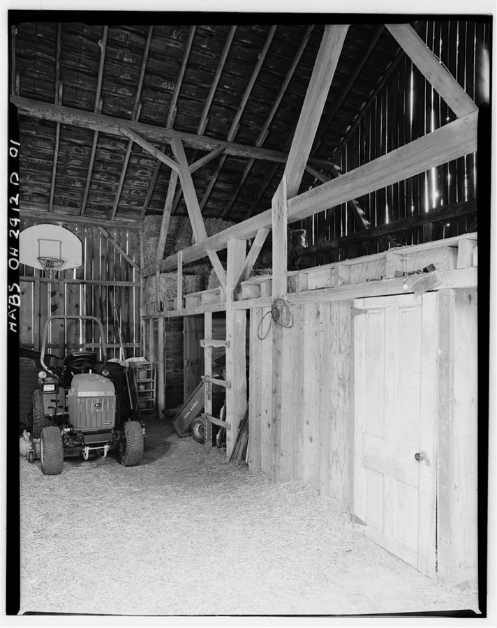
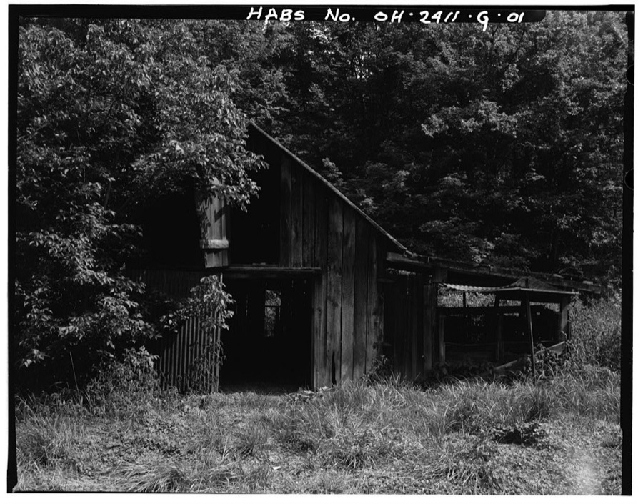
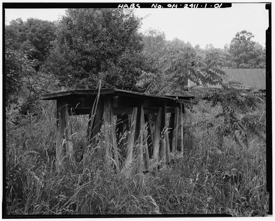
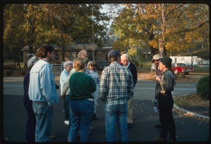
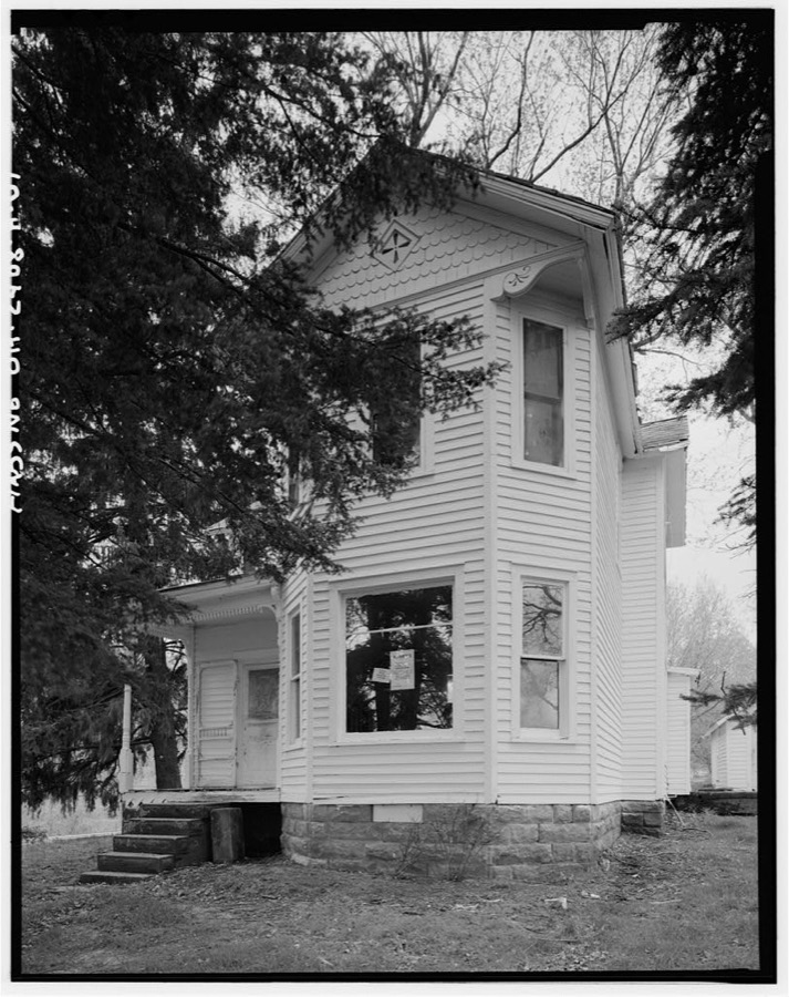
Athens, Ohio. Mayor Franz Woodworth addressing a meeting of the utilities division of the Athens civilian defense council Vachon, John, 1942. Library of CongressAthens, Ohio. Meeting of the utilities division of the civilian defense council Vachon, John, 1942. Library of CongressAthens, Ohio. H.D. Palmer, executive director of the civilian defense council, addressing a meeting of the utilities division, including representatives of power, gas, electric, telephone companies Vachon, John, 1941. Library of CongressAthens, Ohio. Meeting of the utilities division of the civilian defense council Vachon, John, 1942. Library of CongressAthens, Ohio. USMC (United States Marine Corps) recruiting office Vachon, John, 1942. Library of CongressAthens, Ohio. Meeting of the utilities division of the civilian defense council Vachon, John, 1942. Library of CongressAthens, Ohio. H.D. Palmer, executive director of the civilian defense council, addressing a meeting of the utilities division, including representatives of power, gas, electric, telephone companies Vachon, John, 1941. Library of CongressAthens, Ohio. H.D. Palmer, executive director of the civilian defense council, addressing a meeting of the utilities division, including representatives of power, gas, electric, telephone companies Vachon, John, 1941. Library of CongressAthens, Ohio. Meeting of the utilities division of the civilian defense council Vachon, John, 1942. Library of CongressHarlow Lewis Calvert Farmstead, Corn Crib, South side of U.S. Route 50, 1.9 miles south of Guysville, Guysville, Athens County, OH Unattributed, . Library of CongressHull Foster Homes, 13 Riverside Drive, Athens, Athens County, OH Unattributed, . Library of CongressJoseph H. Marshall Farmstead, Storage Building, West side of U.S. Route 50, .7 mile south of Guysville, Guysville, Athens County, OH Unattributed, . Library of CongressAthens Ice & Storage Company House, 17 Riverside Drive, Athens, Athens County, OH Unattributed, . Library of CongressJeremiah Bean Farmstead, Southwest side of U.S. Route 50, 1.8 miles south of Guysville, Guysville, Athens County, OH Unattributed, . Library of CongressAthens Gas Light & Electric Company Office, Factory Street, Athens Railroad Station vicinity, Athens, Athens County, OH Unattributed, . Library of CongressEdmund Bean Farmstead, West side of U.S. Route 50 at County Road 24 (Athens County), Guysville, Athens County, OH Unattributed, . Library of CongressJeremiah Bean Farmstead, Play House, Southwest side of U.S. Route 50, 1.8 miles south of Guysville, Guysville, Athens County, OH Unattributed, . Library of CongressAthens Gas Light & Electric Company Building, Factory Street, Athens Railroad Station vicinity, Athens, Athens County, OH Unattributed, . Library of CongressJoseph H. Marshall Farmstead, West side of U.S. Route 50, .7 mile south of Guysville, Guysville, Athens County, OH Unattributed, . Library of CongressEdmund Bean Farmstead, Residence, West side of U.S. Route 50 at County Road 24, 1.55 miles south of Guysville, Guysville, Athens County, OH Unattributed, . Library of CongressJoseph H. Marshall Farmstead, Barn, West side of U.S. Route 50, .7 mile south of Guysville, Guysville, Athens County, OH Unattributed, . Library of CongressJeremiah Bean Farmstead, Residence, Southwest side of U.S. Route 50, 1.8 miles south of Guysville, Guysville, Athens County, OH Unattributed, . Library of CongressJeremiah Bean Farmstead, Granary, Southwest side of U.S. Route 50, 1.8 miles south of Guysville, Guysville, Athens County, OH Unattributed, . Library of CongressWilliam Bean Farm House, West side of U.S. Route 50, .9 mile south of Guysville, Guysville, Athens County, OH Unattributed, . Library of CongressHarlow Lewis Calvert Farmstead, South side of U.S. Route 50, 1.9 miles south of Guysville, Guysville, Athens County, OH Unattributed, . Library of CongressJeremiah Bean Farmstead, Summer House-Cold Cellar, Southwest side of U.S. Route 50, 1.8 miles south of Guysville, Guysville, Athens County, OH Unattributed, . Library of CongressLucy Braun Association members Lowell Dodge and Judith Dumke Dodge, Lowell (Depicted), 1994. Library of CongressAthens Water Wheel, Riverside Drive, across from 13-17, Athens, Athens County, OH Unattributed, . Library of CongressHarlow Lewis Calvert Farmstead, Swine House, South side of U.S. Route 50, 1.9 miles south of Guysville, Guysville, Athens County, OH Unattributed, . Library of CongressJeremiah Bean Farmstead, Chicken Coop, Southwest side of U.S. Route 50, 1.8 miles south of Guysville, Guysville, Athens County, OH Unattributed, . Library of CongressJeremiah Bean Farmstead, Barn, Southwest side of U.S. Route 50, 1.8 miles south of Guysville, Guysville, Athens County, OH Unattributed, . Library of CongressJeremiah Bean Farmstead, Tractor Shed, Southwest side of U.S. Route 50, 1.8 miles south of Guysville, Guysville, Athens County, OH Unattributed, . Library of CongressHarlow Lewis Calvert Farmstead, Barn, South side of U.S. Route 50, 1.9 miles south of Guysville, Guysville, Athens County, OH Unattributed, . Library of CongressJeremiah Bean Farmstead, Old Barn, Southwest side of U.S. Route 50, 1.8 miles south of Guysville, Guysville, Athens County, OH Unattributed, . Library of CongressJeremiah Bean Farmstead, Manger, Southwest side of U.S. Route 50, 1.8 miles south of Guysville, Guysville, Athens County, OH Unattributed, . Library of CongressRanger giving orientation to Lucy Braun Association members before the hike through Wayne National Forest Lucy Braun Association members (Depicted), 1994. Library of CongressJoseph H. Marshall Farmstead, Residence, West side of U.S. Route 50, .7 mile south of Guysville, Guysville, Athens County, OH Unattributed, . Library of Congress
Places on the National Register
19
Every property in this county listed on the
National Register of Historic Places, with the year it was listed and the
federal nomination document.
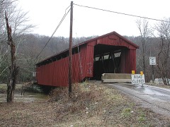
Athens County holds 3 covered bridges on
the National Register, more than any other property type here. Each is a listed
structure with a federal nomination on file.
Drawn when these were printed as
single large sheets: the town seen from the air, and the county
divided into its farms with every owner named. Each opens the
original at the Library of Congress.
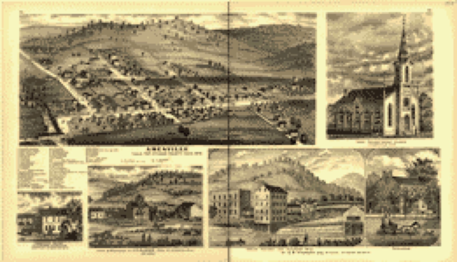
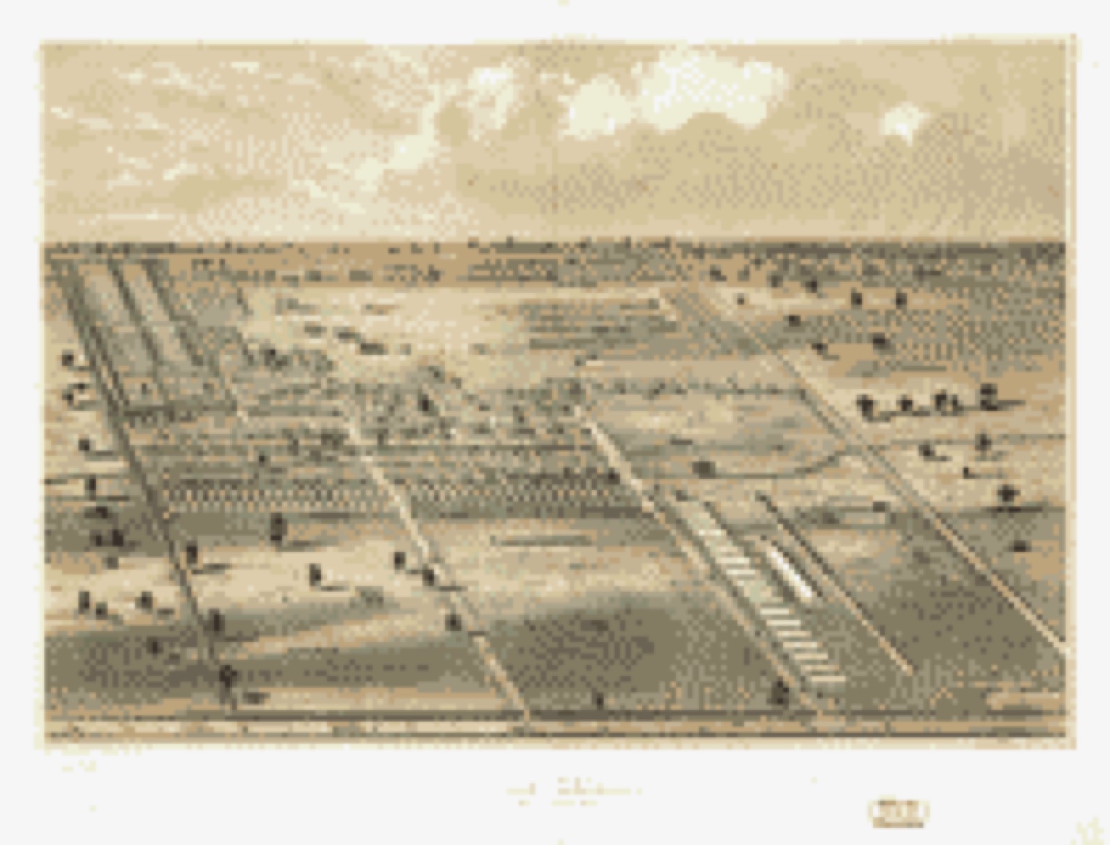
Bird's-eye view (1875) - Atlas of Athens county, Ohio, to which is added a township map of the state of Ohio, also an outline and railroad map of the United States. Library of Congress.Bird's-eye view (1860) - Bird's eye view of Camp Chase near Columbus, Ohio. Library of Congress.
Photographs from libraries nationwide
1 of 10 shown
Selected from the Digital Public Library
of America's 10 image records catalogued for this county. Every
one shown here carries a public-domain status or a licence that permits
reuse on a site that carries advertising; non-commercial, share-alike
and restricted images are excluded. The selection is spread across the
county's towns (at most eight per town), so no single institution's
bulk upload crowds out the rest. Each opens the holding library's
record, and
the complete set at the
Digital Public Library of America is one click away.
[Map of W. Dall's lots in Athens County, Washington County, and Gallia County, Ohio]. Dall, W, Boston Public Library, via the Digital Public Library of America.
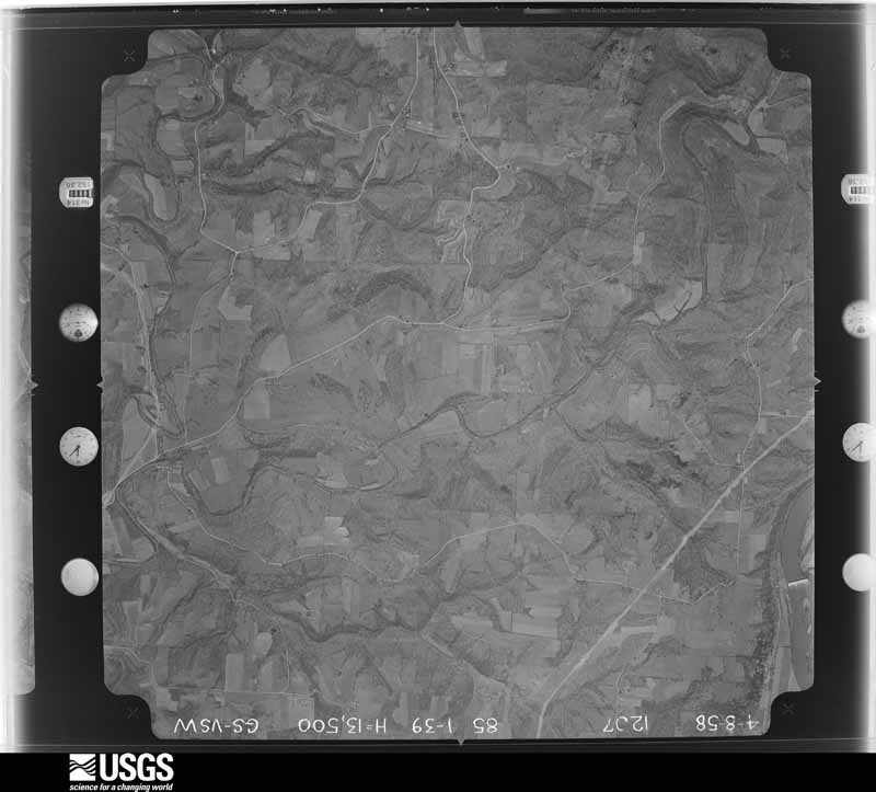
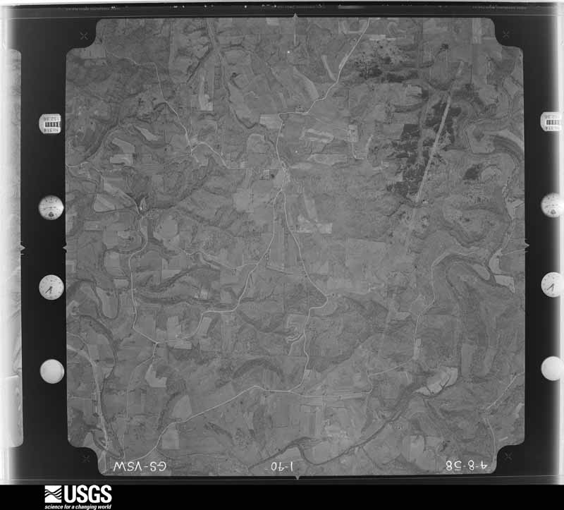
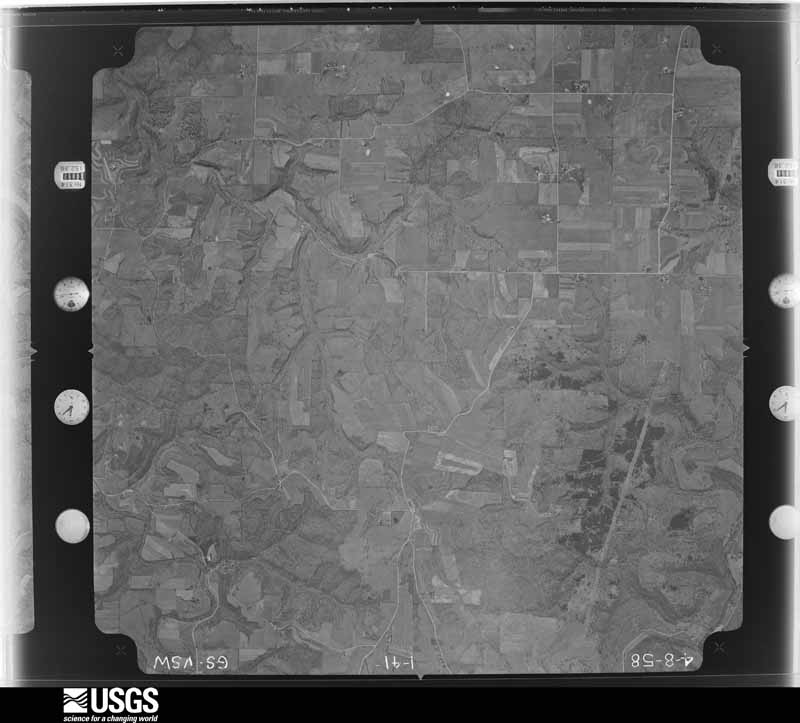
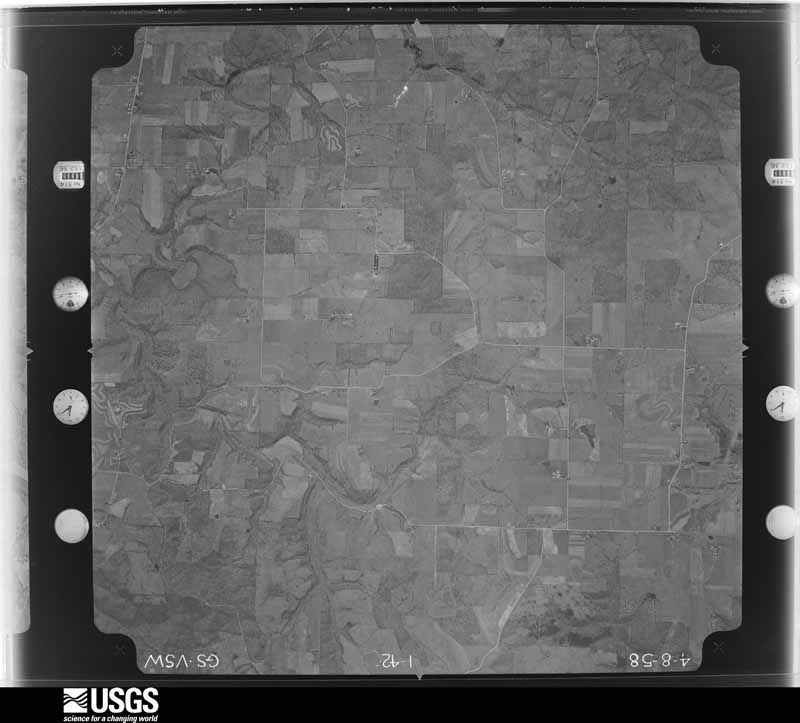
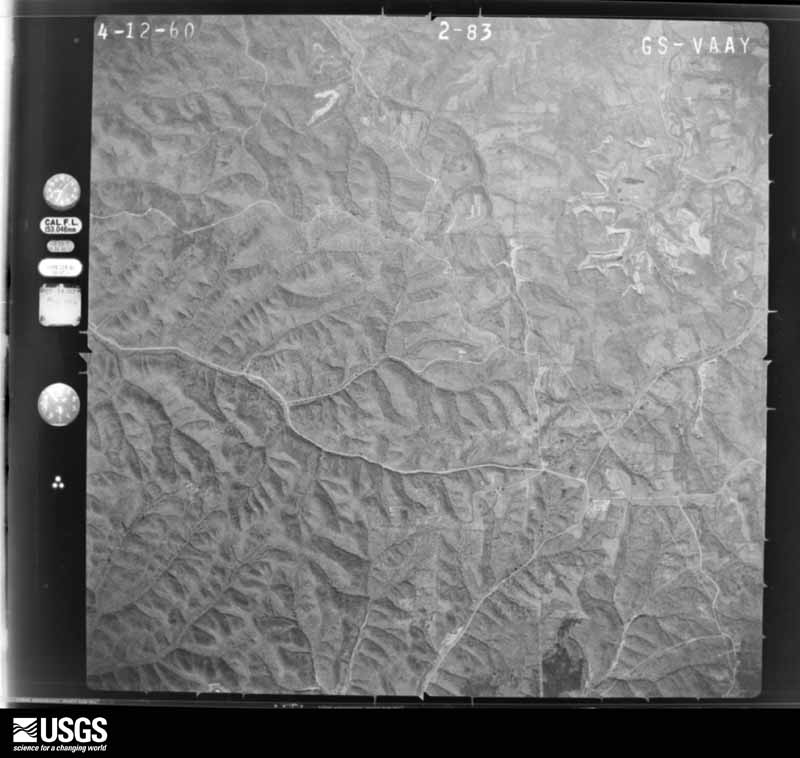
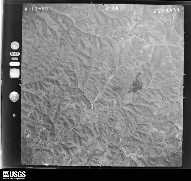
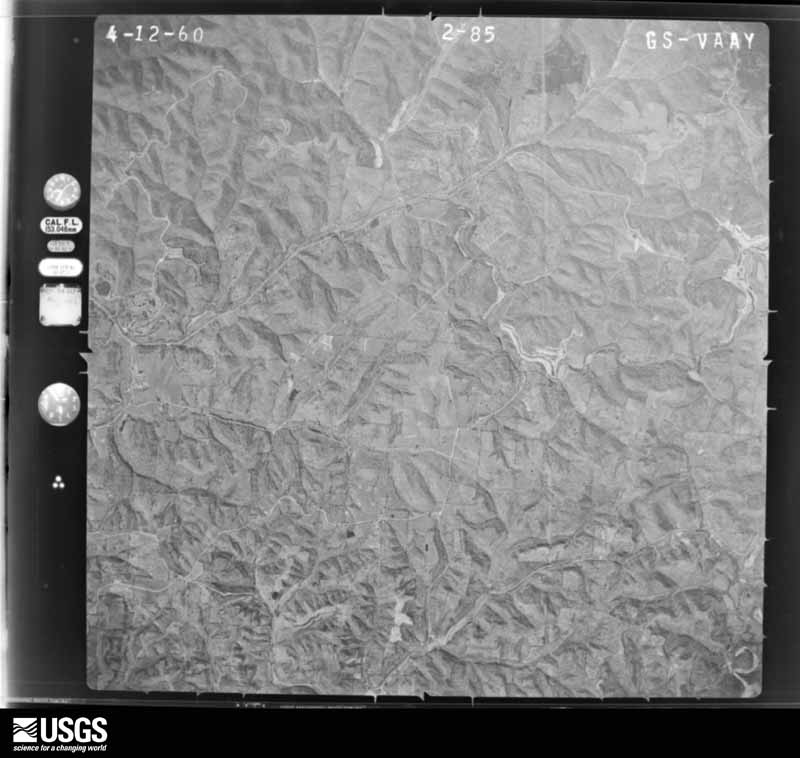
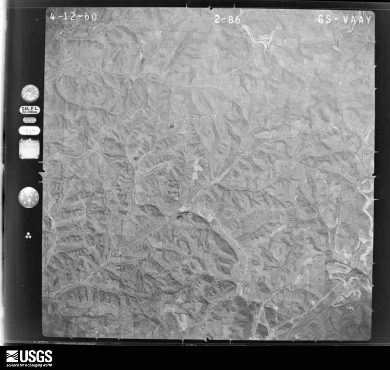
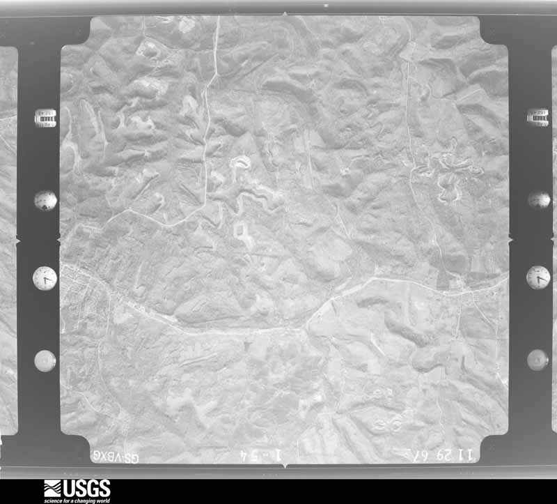
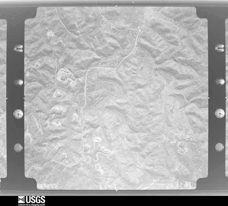
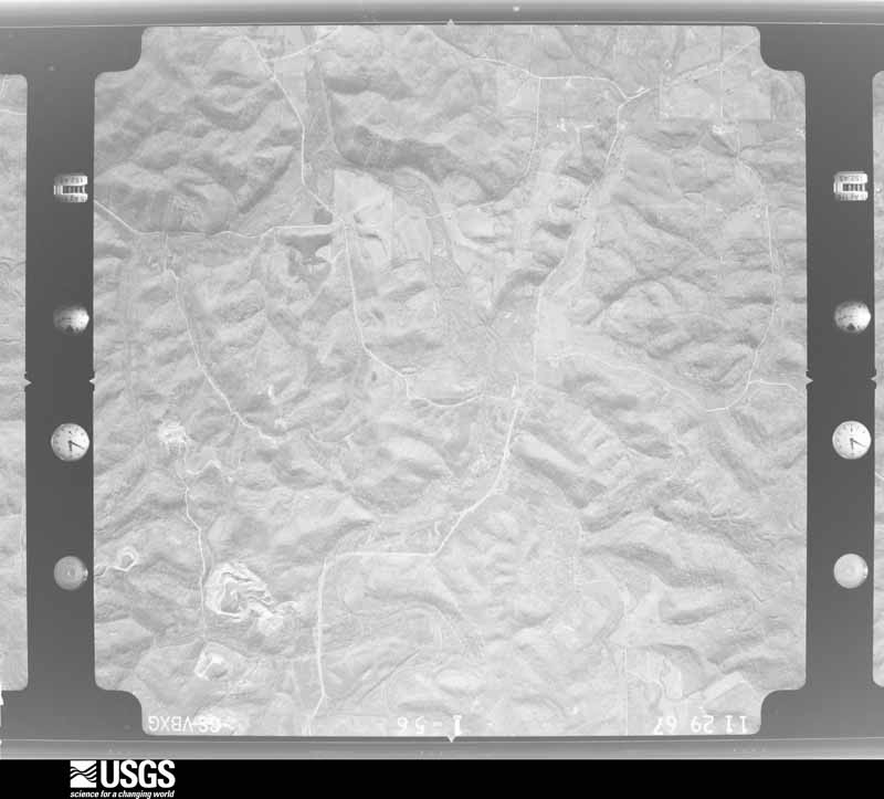
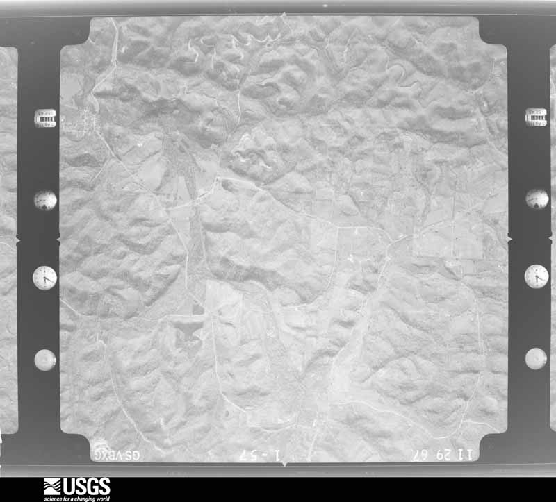
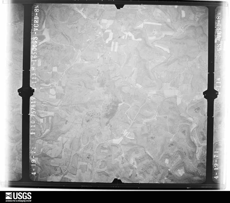
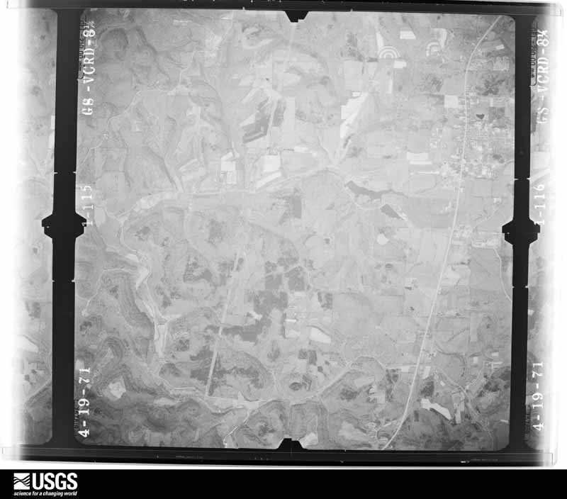
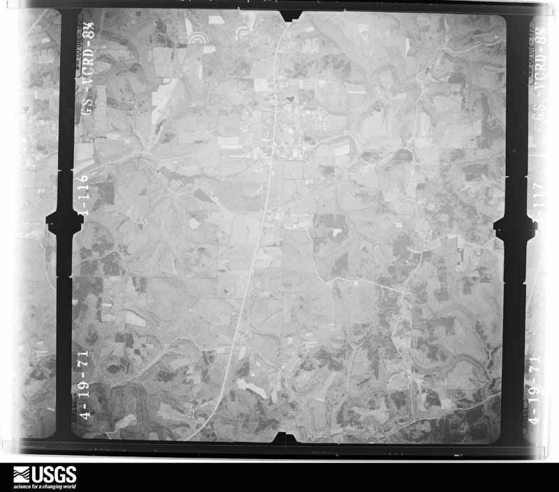
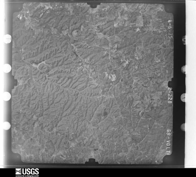
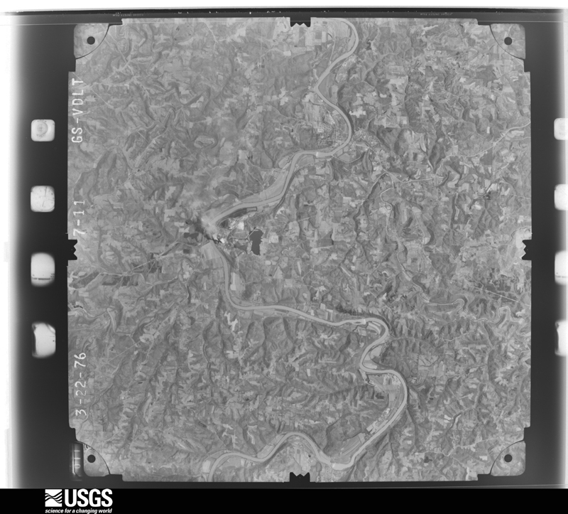
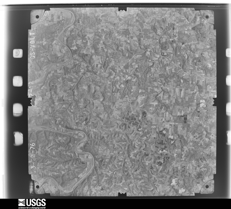
The county from the air
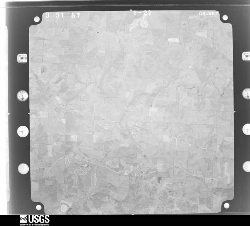
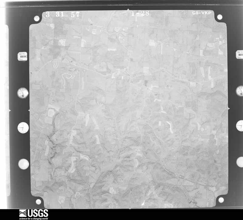
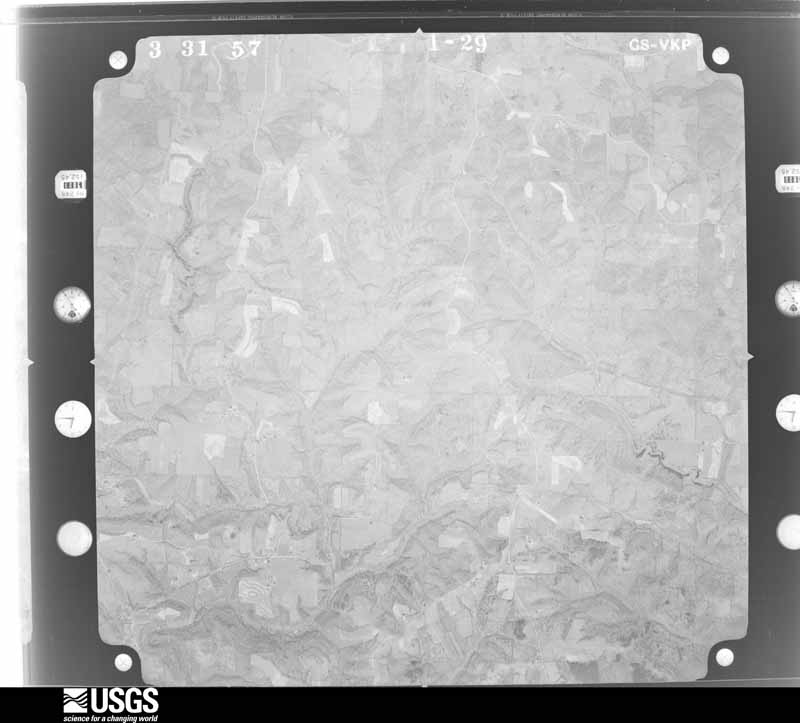
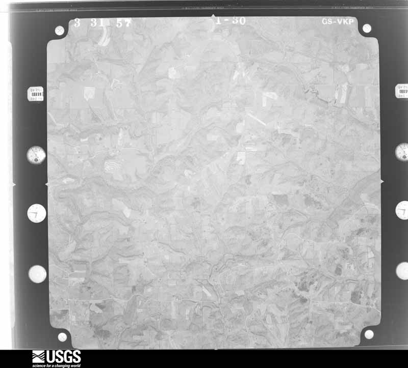
31 of 557 shown
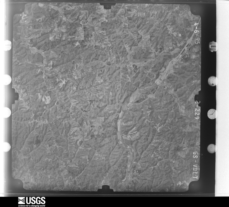
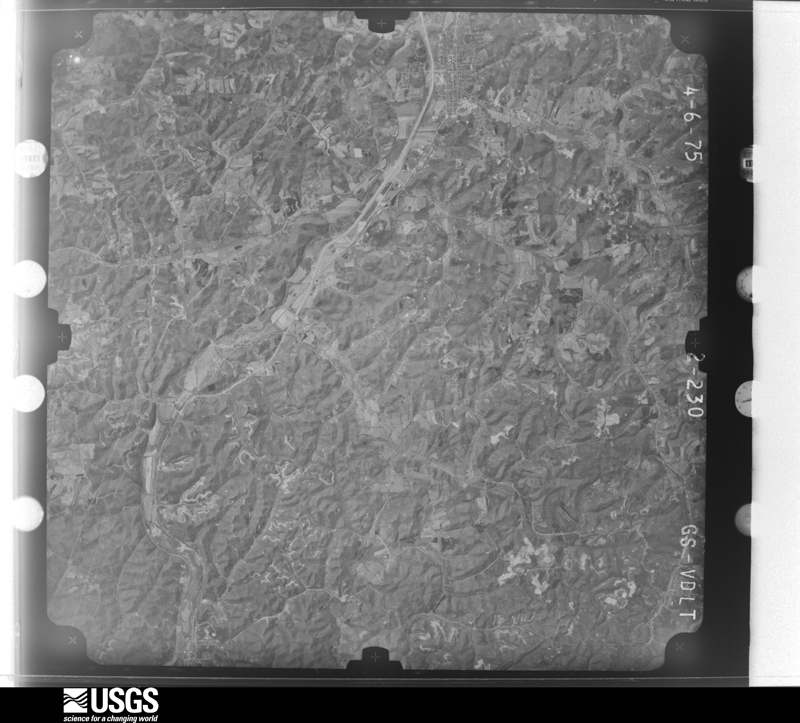
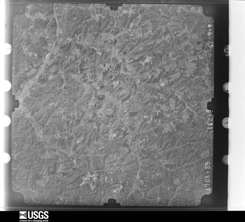
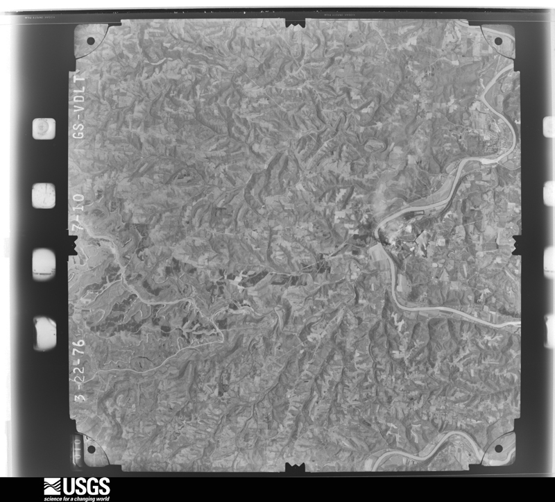
Flown by the U.S. Geological Survey
between 1937 and 1989, the Aerial Photo Single Frames collection is
the definitive mid-century view of the land: fields, roads and rivers
as the camera saw them. 557 frames touch this county; the
selection below spreads across the decades of flights (at most four
per year), so one flight cannot crowd out the rest. The full set is
free to browse and download at
EarthExplorer under the dataset Aerial Photo Single
Frames.
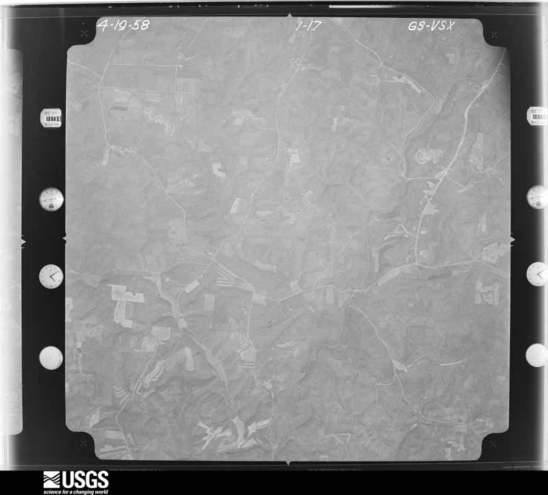
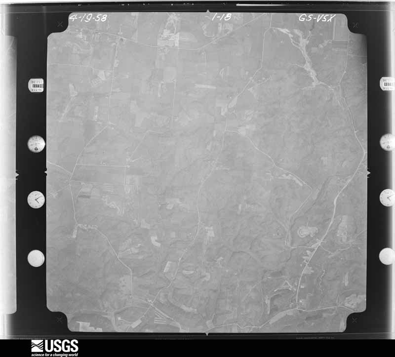
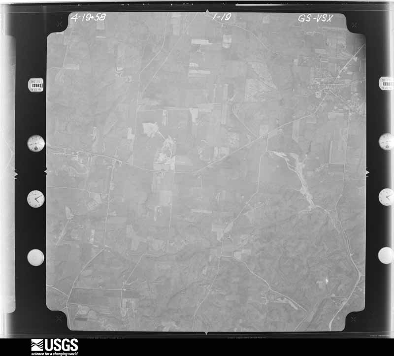
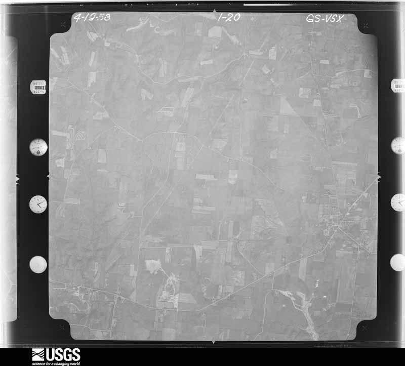
1957-04-11, scale 1:27000. U.S. Geological Survey aerial photograph.1957-04-11, scale 1:27000. U.S. Geological Survey aerial photograph.1957-04-11, scale 1:27000. U.S. Geological Survey aerial photograph.1957-04-11, scale 1:27000. U.S. Geological Survey aerial photograph.1958-04-08, scale 1:27000. U.S. Geological Survey aerial photograph.1958-04-08, scale 1:27000. U.S. Geological Survey aerial photograph.1958-04-08, scale 1:27000. U.S. Geological Survey aerial photograph.1958-04-08, scale 1:27000. U.S. Geological Survey aerial photograph.1959-02-25, scale 1:27000. U.S. Geological Survey aerial photograph.1959-02-25, scale 1:27000. U.S. Geological Survey aerial photograph.1959-02-25, scale 1:27000. U.S. Geological Survey aerial photograph.1959-02-25, scale 1:27000. U.S. Geological Survey aerial photograph.1960-04-22, scale 1:28000. U.S. Geological Survey aerial photograph.1960-04-22, scale 1:28000. U.S. Geological Survey aerial photograph.1960-04-22, scale 1:28000. U.S. Geological Survey aerial photograph.1960-04-22, scale 1:28000. U.S. Geological Survey aerial photograph.1968-03-18, scale 1:24000. U.S. Geological Survey aerial photograph.1968-03-18, scale 1:24000. U.S. Geological Survey aerial photograph.1968-03-18, scale 1:24000. U.S. Geological Survey aerial photograph.1968-03-18, scale 1:24000. U.S. Geological Survey aerial photograph.1971-04-19, scale 1:24000. U.S. Geological Survey aerial photograph.1971-04-19, scale 1:24000. U.S. Geological Survey aerial photograph.1971-04-19, scale 1:24000. U.S. Geological Survey aerial photograph.1971-04-19, scale 1:24000. U.S. Geological Survey aerial photograph.1975-04-06, scale 1:78000. U.S. Geological Survey aerial photograph.1975-04-06, scale 1:78000. U.S. Geological Survey aerial photograph.1975-04-06, scale 1:78000. U.S. Geological Survey aerial photograph.1975-04-06, scale 1:78000. U.S. Geological Survey aerial photograph.1976-03-22, scale 1:78000. U.S. Geological Survey aerial photograph.1976-03-22, scale 1:78000. U.S. Geological Survey aerial photograph.1976-03-22, scale 1:78000. U.S. Geological Survey aerial photograph.
City directories
8 volumes
The "who lived here, by year" answer:
pre-1929 public-domain directory volumes naming the county's people,
machine-read and searchable as text.
The thermometers that kept this
county's weather, and the gages that watched its rivers, as the
federal records hold them. The extremes below are measured values
from those records, not estimates.
ATHENS 5 NW1893 to 1980, hottest 39.4 C, coldest -29.4 C
ATHENS OU1948 to 2026, hottest 40.0 C, coldest -25.6 C
Who lived here in 1950, one enumeration
district at a time, as the Census Bureau described each district.
Each row opens its official National Archives result, with Population
Schedules and ED Maps available there.
5-1Alexander township: Alexander township - That part east of U.S. Hwy. 50, and County Hwys. 17 and 15
5-2Alexander township - That part west of U.S. Hwy. 50, and County Hwys. 17 and 15
5-4Ames township - That part outside Amesville village
5-5Athens township: Athens city: Athens city - That part of Ward 1 Bounded by City limits; Madison Ave., Grosvenor, Ward line, Valleyview Ave., Ward line; Carpenter; N. Congress, Columbia
5-6Athens city - That part of Ward 1 Bounded by City limits; Columbia, N. Congress; Pine Pl., 2nd, Central Ave., W. State; City limits
5-7Athens city - That part of Ward 1 Bounded by 2nd, Pine Pl.; N. Congress, Carpenter, N. Court; W. State, Walker, W. State; Central Ave.
5-8Athens city - That part of Ward 2 Bounded by W. State, Walker, W. State; N. Court, S. Court; W. Union; S. Shafer
5-9Athens city - That part of Ward 2 Bounded by W. State; S. Shafer; W. Union; City limits
5-10Athens city - That part of Ward 2 Bounded by W. Union; S. Court, Ward line; City limits; City limits, W. Union
5-11Athens city - That part of Ward 3 Bounded by Carpenter, Ward line; City limits; Mill; N. Court
5-12Athens city - That part of Ward 3, excluding Berry Hotel Bounded by Mill; Baltimore and Ohio Railroad; E. Union; S. Court, N. Court
5-14Athens city - That part of Ward 3 Bounded by E. Union; Baltimore and Ohio Railroad; E. Mulberry, Park Pl.; S. Court
5-15Athens city - That part of Ward 3 Bounded by Mill[; City limits; City limits; University Terrace, Ullum, Wolfe, Baltimore and Ohio Railroad
5-16Athens city - That part of Ward 3 Bounded by Park Pl., E. Mulberry; Baltimore and Ohio Railroad, Wolfe, Ullum, University Terrace; City limits; Ward line
5-17Athens city - That part of Ward 4 Bounded by City limits; City limits; City limits, Elmwood Pl., Lorene Ave., E. State; Madison Ave.
5-18Athens city - That part of Ward 4 Bounded by Madison Ave.; E. State; Carpenter; Ward line, Valleyview Ave., Ward line, Grosvenor
5-19Athens city - That part of Ward 4 Bounded by E. State; Shannon Ave.; Maplewood Dr., Lloyd, Sunnyside Dr.; E. State
5-20Athens city - That part of Ward 4 Bounded by E. State, Lorene Ave., Elmwood Pl.; City limits; Ward line; Shannon Ave., Morris Ave., Shannon Ave.
5-21Athens city - That part of Ward 4 Bounded by Sunnyside Dr., Lloyd, Maplewood Dr.; Shannon Ave., Morris Ave., Shannon Ave.; Ward line, Stimpson Ave.; E. State
5-22The Plains - Hocking, unincorporated Bounded by Township line; Hocking Valley Railroad; Unnamed stream; Unnamed Rd., Rural Delivery Rt. #6
5-23Athens township - That part north of Baltimore and Ohio Railroad, outside Athens city and the unincorporated place of The Plains - Hocking (See separate map for boundaries of The Plains - Hocking)
5-24Athens township - That part south of Baltimore and Ohio Railroad, and east of U.S. Hwy. 50, outside Athens city
5-25Athens township - That part south of Baltimore and Ohio Railroad, and west of U.S. Hwy. 50, outside Athens city, and excluding Athens State Hospital for the Insane
5-26Athens State Hospital for the Insane (In Athens township)
5-31Dover township: Chauncey village: Chauncey village - That part Bounded by Village limits; Village limits; Village limits; New York Central Railroad, Mound, Converne, County Rd.
5-32Chauncey village - That part Bounded by Village limits; County Rd., Converne, Mound, New York Central Railroad; Village limits; Village limits
5-33Dover township - That part east of New York Central Railroad and north of County Hwy. 28
5-34Dover township - That part west of New York Central Railroad, outside Chauncey village
5-35Dover township - That part south of County Hwy. 28, and east of New York Central Railroad, outside Chauncey village
5-40Trimble township: Glouster village: Glouster village - That part Bounded by Main, Broad, Old Road; Village limits, Sunday Creek, Madison; Barbour, Barbour extended; High
5-41Glouster village - That part Bounded by Village limits; Old Road, Broad; Main, High; Zanesville & Western Railroad
5-42Glouster village - That part Bounded by Village limits; Zanesville & Western Railroad, High; Village limits; Village limits
5-43Glouster village - That part Bounded by Barbour extended, Barbour, Madison, Sunday Creek; Village limits; Village limits; High
5-56Nelsonville city: Nelsonville city - That part of Ward 1 Bounded by City limits; Ward line, Oak, Ward line, Fulton, Ward line; City limits; City limits, County Rd., Madison
5-57Nelsonville city - That part of Ward 1 Bounded by City limits; Madison; County Rd.; City limits
5-58Nelsonville city - That part of Ward 2 Bounded by City limits; City limits, Ward line; Ward line, Church, Columbus; Ward line, Washington, Fort, Pleasentview Ave.
5-59Nelsonville city - That part of Ward 2 Bounded by City limits; Pleasantview Ave., Fort; Washington; Ward line, Oak, Ward line
5-60Nelsonville city - That part comprising Ward 3 Bounded by Columbus, Church, Ward line; Ward line, Grosvenor, Hocking Canal, Ward line; City limits; Ward line, Fulton
5-61Nelsonville city - That part of Ward 4 Bounded by City limits; City limits, Harper, Walnut, 2nd; Hocking Canal; Grosvenor, Ward line
5-62Nelsonville city - That part of Ward 4 Bounded by Ward line; Hocking Canal; City limits; City limits, Ward line
5-63Nelsonville city - That part of Ward 4 Bounded by 2nd, Walnut, Harper; City limits; City limits; Hocking Canal
5-64York township - That part southeast of State Hwy. 216, and north of the Hocking River, outside Buchtel village and Nelsonville city
5-65York township - That part north of the Hocking River and northwest of State Hwy. 216, outside Buchtel village and Nelsonville city
5-66York township - That part south of the Hocking River, outside Nelsonville city
Businesses named in the atlases
43 businesses
Every Sanborn volume opens with a printed index
naming the town's mills, tanneries, hotels and works by proprietor. Those
indexes were read off the scanned sheets by machine and then matched to each
other, so a business surveyed four times appears here once, with the years it
survived. 7 of these 43 were named in more than one atlas. Each carries a
crop of the line it was read from: the spelling is the recogniser's and the
1880s lithographer's, and the scan behind it is the proof.
Every wildfire the federal occurrence
database records inside this county: 355 of them, burning about
630 acres. 5 started naturally and 10 were
recorded as arson. Each settlement page carries the fires within five
miles of it.
Reported cause
Fires
Debris and open burning
134
Recreation and ceremony
88
Missing data/not specified/undetermined
51
Power generation/transmission/distribution
26
Equipment and vehicle use
24
Arson/incendiarism
10
Other causes
6
Smoking
5
Natural
5
Misuse of fire by a minor
4
Railroad operations and maintenance
1
Fireworks
1
The five largest, by the area the report
gives. Two of them were set deliberately.
Date
Cause
Size
Reported by
Name on the report
7 April 2013
Power generation/transmission/distribution
54 acres
Wayne National Forest
BURTON
12 April 2015
Missing data/not specified/undetermined
30 acres
Ohio Department of Natural Resources
822
9 April 2013
Missing data/not specified/undetermined
20 acres
Ohio Department of Natural Resources
not named
29 March 2020
Missing data/not specified/undetermined
20 acres
Ohio Department of Natural Resources
15542
15 April 2010
Equipment and vehicle use
15 acres
Ohio Department of Natural Resources
not named
28 March 2003
Arson/incendiarism
15 acres
Wayne National Forest
PONY
9 May 2015
Power generation/transmission/distribution
14 acres
Wayne National Forest
FRIDAY NIGHT
27 February 2012
Arson/incendiarism
13 acres
Wayne National Forest
POSTON SALEM
Every settlement page carries the fires within five
miles of it - see the settlement index below.
Storms, 1969 to
2026
60 of 447 shown
The
NOAA Storm Events Database holds
447 reports for this county, causing 1 death,
23 injuries and about $13,355,250 in recorded property damage.
Each settlement page carries the reports that name it.
Kind of event
Reports
Thunderstorm Wind
220
Hail
93
Flood
69
Flash Flood
53
Tornado
4
Lightning
4
Funnel Cloud
2
High Wind
1
Heavy Rain
1
The most serious of them, by death, then
injury, then recorded damage. The accounts are quoted exactly as the
forecast office filed them.
Small streams across the northern portion of the county flooded. ||An elderly couple was driving home along Linscott Run. This is a small tributary to Federal Creek near Amesville. Close to home, the husband decided to stop his vehicle and wait out some high water. Their vehicle became surrounded by rising water. The couple made an attempt to walk to nearby higher ground. The wife was using a walker due to recent hip surgery. She slipped and the husband could not hold on to her. The current swept her away. The fire department located her body around dawn on the 5th, about a half mile downstream. The husband was helped to safety by neighbors using a garden hose. Route 550 was also flooded in Amesville. ||Several streets in Nelsonville were flooded including along Dorr Run and Pleasant View Road. Large dump rocks, used in the bypass construction, were even moved by the water. A wall to a garage was knocked over by the water. A house foundation was damaged.||A vehicle was flooded along Margaret Creek near Albany. The occupants were unhurt at a nearby home when the local fire department arrived.
Thunderstorm wind gusts of 40 to 50 mph caused tree damage and collapsed a county fair tent. The tent collapsed during the swine judging, with as many as 400 people inside. Many of those caught in the tent, appeared stunned, but calm. Eight people received minor injuries. No animals were hurt. One witness said., " It was the best example I've seen of everyone working together." The nearby anemometer at the Scalia Lab on the Ohio University campus reported a wind gust of 41 mph. In a related incident, an indirect death occurred while a 74 old man lost control of his tractor and it overturned. He was trying to take shelter from the midday storm. He was 60 feet from his residence on Hooper Ridge Road, near Amesville.
A tornado touchdown was along Kimberly Road, about 4 miles from Nelsonville. The tornado reached maximum intensity along Matheny Road to State Route 691. Matheny Road is also called York Township Road 269. Damage was concentrated along Matheny Road and State Route 691. The low level circulation was evident in the damage along Matheny Road. Debris was strewn one way on the south side of the road, then in the opposite direction on the north side. One resident said, you could see stuff flying through the air. Then the noise got real loud and we ran into the house and into a closet. The house was just shaking. Several mobile homes were completely destroyed. Yet, some of these mobile homes were poorly anchored or not anchored at all. Many large softwood trees were uprooted or snapped at their trunks. Reports were received of several cows being lifted by the tornado. A hay bale weighing 1800 pounds was lofted into the air and set back down. The maximum wind gusts were estimated at 120 to 130 mph. A total of 7 people were injured. About 13 homes were destroyed, with dozens of other homes damaged.||Since 1950, this is only the second confirmed tornado in Athens County. The previous tornado was a F1 during May of 1980. However, prior to 1950, 3 tornadoes have been reported in Athens County, back in July of 1896, April of 1922, and June of 1937. The June 1937 tornado killed 3. The storm in 1896 was reported in Glouster. However, historical accounts also describe a tornado in the late 1800s that destroyed a large grove of sycamore trees in the city of Athens.
The upstream tornado lifted, as the rear flank downdraft of the rotating thunderstorm took over. This downburst became the dominant feature in The Plains and around the community of Athens. The width of the damage path widened to about a quarter of a mile. Winds were estimated as high as 100 mph in The Plains. As the storm approached, soccer players, fans, coaches, and referees took shelter in the locker rooms, the wrestling rooms, and the lounge for teachers at Athens County High School. About a dozen adults took shelter in the concession stand. A few of these parents were injured when the roof was heavily damaged. The light poles, the press box, and the scoreboard were also damaged or destroyed. On the roof of the high school, large air condition units were blown off and damaged parked cars. Several homes were destroyed or damaged. Roof damage was widespread. As the wind reached the eastern sections of the town of Athens, the maximum wind gusts were estimated at 80 to 100 mph. The last significant damage was to an automobile service and towing garage. The total distance of this downburst was on the order of 10 miles. A total of 6 people were injured. About 17 homes were destroyed, many others were damaged.||Including both this downburst and the tornado, Ohio Emergency Managment Agency categorized around 30 homes as destroyed, 51 homes with major damage, and 83 homes with minor damage.
Numerous trees or large branches fell across the county. Nearly 24,000 customers lost electricity. Damage assessment included 1 home destroyed, 4 with major damage, and 3 with minor damage across the county. The public infrastructure damage assessment was around $580,000.
A downburst occured at the intersection of County Roads 9 and 22. Winds to 80 MPH (69 kts) rolled three mobile homes from their foundations destroying each. One garage and a house suffered damage. Residents claimed there had been a tornado but a survey indicated straight-line winds from a microburst as the most likely cause.
Flooding took place along streams in the northern reaches of the county. Some of the streams affected include Snow Fork, plus Sunday and Monday Creeks. Chauncey was one of the hardest hit areas as waters from Sunday Creek were slowed by the swollen Hocking River. Other communities that received flooding included Nelsonville, Glouster, Hollister, Trible, and Doanville. The stream flooding lead to minor river flooding along the Hocking River. The county emergency management agency listed one single family dwelling and 1 mobile home destroyed for the whole flood event. Twentyfive dwellings had major damage.
Small streams such as Dutch Creek began to flood near midday, then became more widespread during the evening hours. About 20 county roads were closed. Several water rescues were done, along roads that had not yet been shut down. Vehicles stalled in the flood waters of Federal Creek near Amesville was one such incident.
Numerous large trees and branches were blown down in the city. The Emergency Management Agency reported 2 houses were severely damaged by fallen trees. Trees also fell across roads, sidewalks, driveways, and yards. Electrical power was lost.
Numerous small streams overflowed and blocked roads during the daylight hours on the 19th. The Hocking River then caused flooding into the 21st. Damage was mainly to roads and a few culverts.
Rain amounts of 2 to 2.5 inches fell in about 2 hours. A spotter reported 1.6 inches in an hour. The 24 hour rain total was 3.5 inches at Nelsonville. The town of Athens was just south of the heaviest rain with a 24 hour rain total of 1.8 inches. Small streams flooded and closed several roads. The stream gauge at Doanville on the lower reaches of Monday Creek rose 10 to 11 feet in a few hours.
Numerous locations had trees or large branches blown down. Sheriff reported over 20 roads blocked by debris. A house and a mobile home were damaged by fallen trees in the Plains vicinity.
Rains of 1.5 to 2.0 inches fell in less than 24 hours, in the Nelsonville to Trimble area. The rains occurred from the 10th into the 11th. Monday and Sunday Creeks flooded roads, surrounded the most vulnerable dwellings, and forced schools to close. Backwater from the rising Hocking River kept Sunday Creek in the Chauncey vicinity, over roads and around dwellings through Thursday morning the 12th. The Hocking River crested just below flood stage, at 19.5 feet around 2100E on the 12th.
Wind damage consistent with a microburst caused tree damage near Jacksonville. The damage started near Taylor Ridge Road where several trees were uprooted. A section of roof from a single family home was removed. The microburst winds traveled southeast from there, through Jacksonville, were several trees were uprooted along Sunday Creek.
An EF1 tornado with maximum winds up to 100 mph touched down near Angel Ridge Road in Athens County. The tornado tracked east-northeast crossing Gura Road, Long Run Road, and North Coolville Ridge Road before lifting just past Kincade Road. Damage was limited to snapped and uprooted trees and some snapped power poles along the path, with the worst damage occurring in a 300 yard wide swath along Long Run Road. This is the seventh documented tornado in Athens County and the first since 2018.
US 50 was closed near Guysville due to a combination of flooding along creeks and streams that drain into the Hocking River and a land slide near State Route 329.
A very weak tornado touched down near Nelsonville, along Cullison Road, where it lofted a trampoline into power lines and blew around some loose pieces of sheet metal. Additional damage occurred near the end of the path, along Kimberly Road. Here, several trees were uprooted or snapped, with one falling onto a house, penetrating the roof. The survey found all of the trees that fell were diseased or weakly rooted. Also in this area, a metal carport was tossed into the woods. The estimated maximum wind speed was 55 mph. A video of the tornado was taken near Cullison Road, showing a rotating funnel above the ground, with the trampoline and sheet metal being picked up and thrown as it passed over.
Multiple roads across the northern and eastern parts of the county were covered with water as creeks and streams came out of their banks. Flooding occurred along Congress Run closing Congress Run Road. Greens Run flooded, closing State Route 685. State Routes 329 and 550 were closed near Amesville due to flooding on Federal Creek and Opossum Run. Flooding along Federal Creek, Two Mile Run and Rowell Run caused a closure on State Route 144.
Many small streams overflowed and closed sections of roads. Examples from the state higway department included portions of Route 56, 144, 329, 356. and 682. No structures were flooded.
The small feeder streams into Sunday Creek and Federal Creek overflowed causing minor street flooding. Sunday Creek rose 8 to 10 feet but remained mostly within its banks. Route 33 in Nelsonville was flooded.
Streams along Route 550 flooded roads. The headwaters of the Middle Fork of the Shade River flooded an animal shelter between Athens and Shade. Fencing and a barn were damaged. About a dozen dogs had to be rescued from the water. There were no reports of water getting into homes.
Rains of 2 to 3.5 inches fell in less than 3 hours, in a northwest to southeast corridor, along the Hocking River Valley. An automatic gauge south of Nelsonville measured 3.5 inches of rain. In the city of Athens, 3.4 inches of rain was recorded. The Plains measured 3.1 inches. Streams flooded roads in such communities as Athens, The Plains, and Chauncey. The York Fire Department went to the aid of motorists stalled in water along township roads. No flooding of dwellings was known.
The Survey's mineral resources record
lists 13 workings inside this county. 5 still
produce and 8 are closed or unrecorded. Each settlement
page carries the workings within five miles of it.
Commodity
Workings
Sand and Gravel, Construction
7
Limestone, General
2
Clay
2
Stone, Crushed/Broken
2
The least common of them first, because a
county's hundredth gravel pit says nothing its first ten did not.
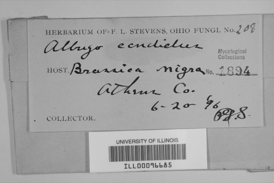
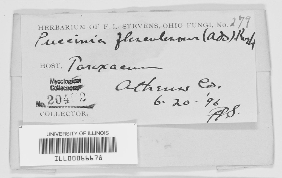
Museum specimens collected inside this
county and catalogued with a date and a place: 1,630 of them, by
kingdom 1,366 animalia, 172 plantae, 82 fungi, 4 unrecorded, 4 protozoa. Each is a physical object in a named collection, not a
sighting. Held by INHS, MSU, Ohio State University - Fish Division, Columbus, OH (OSUM), MIN, OSU, DBG among others, and each settlement page carries
the specimens collected near it.
The oldest of them. A specimen proves
something was collected on that day; its absence proves nothing.
History of Athens County, Ohio : and, Incidentally, of the Ohio Land Company and the First Settlement of the State at Marietta, with Personal and Biographical Sketches of the Early Settlers, Narratives of Pioneer Adventures, Etc. devotes a chapter to each township:
its boundaries and streams, who settled it and when, the mills, the
schools and the churches. All 4 are reproduced here in full. Each row
shows the township's own shape and where it lies in the county, drawn from
the Census Bureau's boundary. Which settlements belong to which township
is computed from that same boundary, not taken from the book.
Everyone History of Athens County, Ohio : and, Incidentally, of the Ohio Land Company and the First Settlement of the State at Marietta, with Personal and Biographical Sketches of the Early Settlers, Narratives of Pioneer Adventures, Etc. stops to write about, with
the section that describes them. Among them are the men who founded the
place and governed the Territory. Each name opens the passage itself, in
the words of 1869.
Named settlements recorded in the Geographic Names
Information System, each with the topographic sheets covering it. Villages,
hamlets and abandoned places alike. Each is shown with the watercourse or
landform it stands on and the survey quadrangle it falls on. The 4
places that were also surveyed for fire insurance come first, with the
number of atlases and photographs held for them.
The complete index, with nothing left out.
Each of these is a separate record with its own page: a federal survey
report, or the case file that argued a property on to the National
Register. Both are public domain and reproduced word for word.
Topographic sheets. USGS Historical Topographic Map Collection, county index, measured from the bulk metadata.
Fire insurance maps. Library of Congress Sanborn collection, faceted to this county.
Photographs. Each place queried individually against the Library of Congress Prints and Photographs search.
Wildfire. Short, Karen C. 2022. Spatial wildfire occurrence data for the United States, 1992-2020 [FPA_FOD_20221014]. 6th Edition. Fort Collins, CO: Forest Service Research Data Archive. https://doi.org/10.2737/RDS-2013-0009.6 Collected with United States Government funding and usable without additional permissions or fees.
Specimens. Global Biodiversity Information Facility (GBIF), https://www.gbif.org/. Only records licensed CC0 or CC BY are used. Records licensed CC BY-NC are excluded because this site carries advertising. Images are checked individually and any whose licence is non-commercial, no-derivatives or unreadable is refused.
Mines and quarries. USGS Mineral Resources Data System (MRDS) https://mrdata.usgs.gov/mrds/ A work of the United States government, no copyright under 17 U.S.C. 105.
Storms. NOAA National Centers for Environmental Information, Storm Events Database https://www.ncei.noaa.gov/stormevents/ A work of the United States government, no copyright under 17 U.S.C. 105. Narratives are quoted verbatim from the National Weather Service report and are not edited or summarised.
 Block
Block
![[Map of W. Dall's lots in Athens County, Washington County, and Gallia County, Ohio], Boston Public Library - undated](assets/dpla_f40f88860d51649d.jpg)