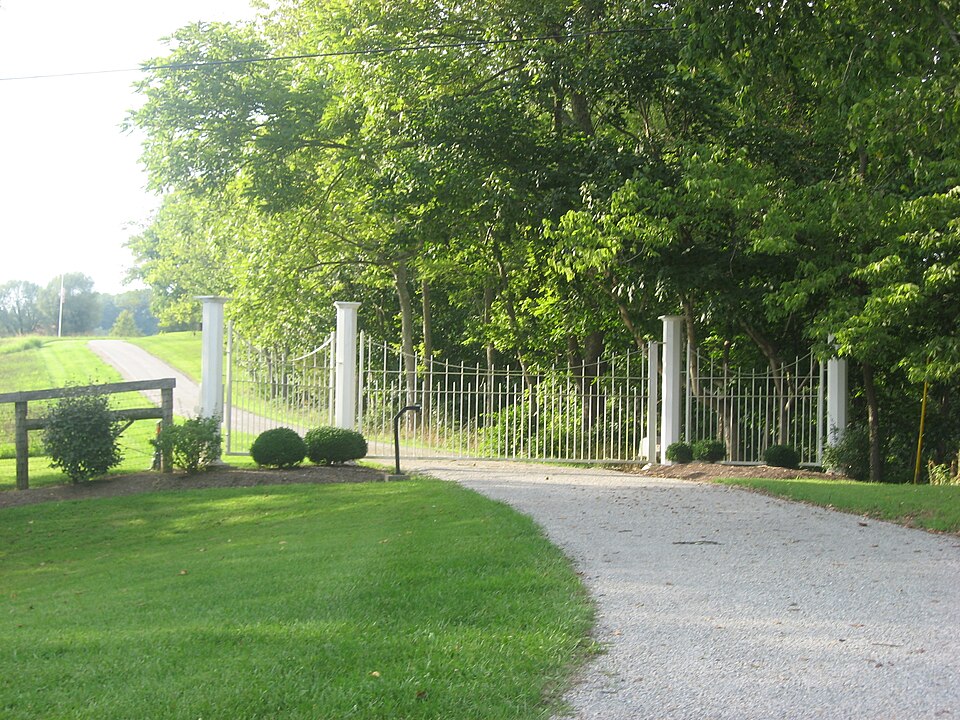
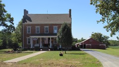
Built in 1840 in the Federal architecture. Listed on the National Register of Historic Places in
1976. A historic map-sheet match is not published yet. The record needs a coordinate-quality review before it can be joined to a sheet boundary.
From the record
“The Thompson Farm, in Pleasant Township near Georgetown, Ohio, was listed on the National Register of Historic Places in 1976. The listing included three contributing buildings.”
Wikipedia article Thompson Farm (Georgetown, Ohio), CC BY-SA 4.0.
one of 21 National Register listings in Brown County · listed in 1976 · category: Building · built in 1840, Federal architecture · one of 3 National Historic Landmarks in Brown County.
National Register reference number.76001375- the number the National Park Service assigned this property when it was listed, and the key its nomination file is catalogued under at the National Archives.
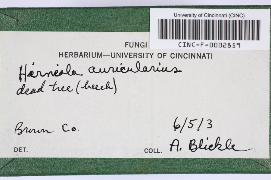
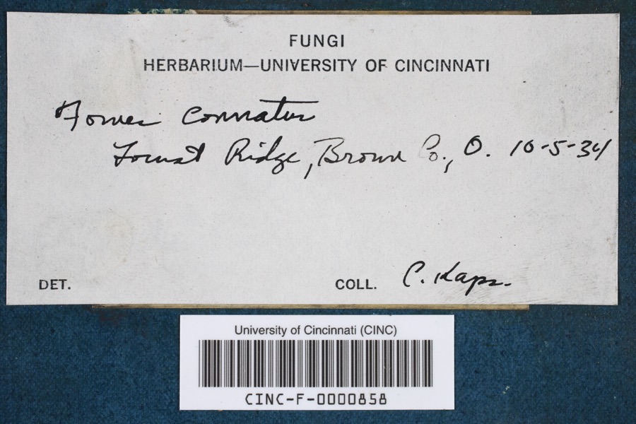
Specimens collected near this property
12 of 386 shown
Regional context, not property-specific
evidence. Museums hold 386 specimens
collected within 10 miles of Thompson Farm between 1885 and
1974: 291 Animalia, 85 Fungi, 10 Plantae. 12 distinct Species records are shown.
Collected by A JOHN, A. Braun, Ahles, H.E. and others. Each is a
physical object with a catalogue
number, and each entry opens the museum's record. This is what was
collected and kept, not a survey of what lives here - nothing can be
concluded from a species being absent.
Regional context, not property-specific
evidence. The federal mineral resources record lists
6 workings within 5 miles of Thompson Farm: 4 past producers, 1 producer, 1 plant.
2 still produce. What was taken out: Sand and Gravel, Construction, Limestone, General, Stone, Crushed/Broken. Distance is straight-line from the
map coordinates, so a quarry counted here may appear on a neighbouring
settlement's page as well.
Regional context, not property-specific
evidence. The National Weather Service names
Georgetown, the town this property stands in, in 39 storm reports between 1996 and 2025: 25 thunderstorm wind, 6 hail, 6 flood, 2 flash flood.
No death or injury is recorded in these reports. Each account below is quoted exactly as the forecast office
filed it, from the NOAA Storm Events Database, and each date
opens the federal record of that event.
Three to four feet of water was reported over Highway 52 between Higginsport and Ripley. Mud was covering the roadway near Free Soil Road. A tree was downed across A and P Road. Fire crews were working to clean up the roadways. This flooding occurred due to persistent heavy rainfall.
1 paper published in this town,
digitised by the Library of Congress and free to read: 0 issues,
0 pages. Every page is searchable, so a name or a street can be
looked for directly in what the town printed about itself at the time.
No historic map-sheet match is published
for this property yet. That does not mean no map exists. This record needs
a coordinate-quality review before it can be joined to a sheet boundary.
Browse the county's mapped places while that work is
pending.
From the nomination file
2,631 words on record
When this property was proposed for the
National Register, someone wrote the case for it: what the building is,
and why it matters. That document is a federal record in the public domain.
It is quoted below word for word, never summarised. The text was read off the scanned case file by machine, so the
occasional stray character is the recogniser's and the 1970s
typewriter's.
Description of the property
Prior to the construction of this house, the owners resided in a CONDITION UNEXPOSED DETERIORATED XEXCELLENT DESCRIPTION FAIR throughout the interior. CHECK ONE with balustrades. cluster of buildings. GOOD five, six-over-six double hung windows on the second floor and four entrance is surrounded by a wide moulding with projecting ears at the rectangular structure, constructed of stone with a gable roof. XORIGINAL SITE top.
Each wing has a side entrance with rectangular fanlight and a single win- A newer barn, garage and assorted sheds are also included in this ted of brick with a stone foundation.The roofs are metal and over the The original smokehouse is still intact.This building is a small The door is flanked by side lights and a rectangular fanlight.The the building was erected prior to l825. The side wings are set back from the central block facade and RUINS excellent condition. The Thompson Farmhouse consists of a two-story rectangular block with The windows have simple stone sills and lintels.
The roofs over the The interior still retains much of its original have identical porches consisting of fluted Doric columns and railings The original wide woodwork with projecting ears is intact conversion of the building into a barn. house has been altered by the addition of vertical siding and the one story wings on the east and west ends.The building is construc- The roof has overhanging eaves and a simple frieze pierced by small central block sectionare gabled and of easy pitch.T The original beams are still large,two story log house located northwest of the house.The log floor central bay. Form No. 10-300a (Rev.
10-74) UNITED STATES DEPARTMENT OF THE INTERIOR NATIONAL PARK SERVICE NATIONAL REGISTER OF HISTORIC PLACES INVENTORY -- NOMINATION FORM DATE ENTERED Brown County, Ohio RR #3, Old St. Rt.
rural home, displaying architectural derivations of the Federal Style It is likely that the builder and designer was Emmet Hubbard Baker, who built the 1600-1699 1700-1799 1400-1499 INVENTION CONSERVATION PHILOSOPHY PERIOD COMMUNICATIONS EDUCATION SIGNIFICANCE TRANSPORTATION AGRICULTURE THEATER EXPLORATION/SETTLEMENT ART ARCHEOLOGY-PREHISTORIC _ENGINEERING INDUSTRY virtually unaltered. _POLITICS/GOVERNMENT Style influences in its side wing porticos and entrance decoration. house has been used as a private residence and is in excellent condition, with its plan _PREHISTORIC The Thompson family was one of the earliest settlers of Brown County. _COMMERCE in its choice of end porticos and entrance design.
LITERATURE Coupled with the original log house and stone smoke house, this farm During the 1940's the farm building received a design reward from The Thompson Farm is a well preserved example of early nineteenth X1800-1899 The Historic American Building Survey (HABs). one time the Thompson mills located on the White Oak Creek were the -1500-1599 _ECONOMICS _MILITARY -MUSIC _1900- -LAW well illustrates rural life in the early 1900's. construction of the large brick house, also stillon the property. At BUILDER/ARCHITECT Ed Thompson Township during the 1820's.
He and his family lived in the large log Brown County courthouse and a number of other important Georgetown buildings.The Township and one in Lewis Township.The mill in Lewis Township had most important mills in the country.There were originally three house that still stands on the property.Around 1840 he completed been the first mill in the county erected in 1800 by James Roney and
Quoted from the National Register nomination
for reference 76001375, 27 pages, held by the National Archives in Record
Group 79. See the
catalogue record.
Listed places nearby
6 within 8 miles
Other National Register properties close
enough to walk or drive between, ordered by distance from this one. Both
positions come from the same geocoding pass that matched these properties
to their map sheets.
Listing record. National Park Service National Register of Historic Places, listed-properties dataset, current to 2026-05-22.
Map join. Address geocoded through the United States Census geocoder, then tested against the published boundary of every sheet in the USGS Historical Topographic Map Collection.
How this page is made. Listing fields come from federal records; map-sheet coverage is a labelled coordinate-to-boundary calculation, not a source-field claim.
Specimens. Global Biodiversity Information Facility (GBIF), https://www.gbif.org/. Only records licensed CC0 or CC BY are used. Records licensed CC BY-NC are excluded because this site carries advertising. Images are checked individually and any whose licence is non-commercial, no-derivatives or unreadable is refused.
Mines and quarries. USGS Mineral Resources Data System (MRDS) https://mrdata.usgs.gov/mrds/ A work of the United States government, no copyright under 17 U.S.C. 105.
Storms. NOAA National Centers for Environmental Information, Storm Events Database https://www.ncei.noaa.gov/stormevents/ A work of the United States government, no copyright under 17 U.S.C. 105. Narratives are quoted verbatim from the National Weather Service report and are not edited or summarised.
 Block
Block