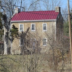
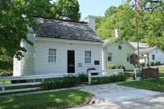
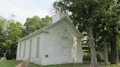
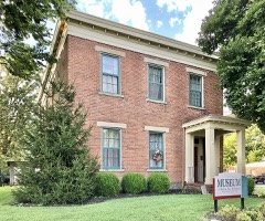
Listed on the National Register of Historic Places in
1976. A historic map-sheet match is not published yet. The record needs a coordinate-quality review before it can be joined to a sheet boundary.
From the record
one of 15 National Register listings in Clermont County · listed in 1976 · category: Building.
National Register reference number.76001382- the number the National Park Service assigned this property when it was listed, and the key its nomination file is catalogued under at the National Archives.
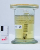
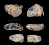
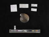
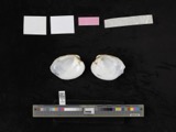
Specimens collected near this property
12 of 713 shown
Regional context, not property-specific
evidence. Museums hold 713 specimens
collected within 10 miles of Salt House between 1866 and
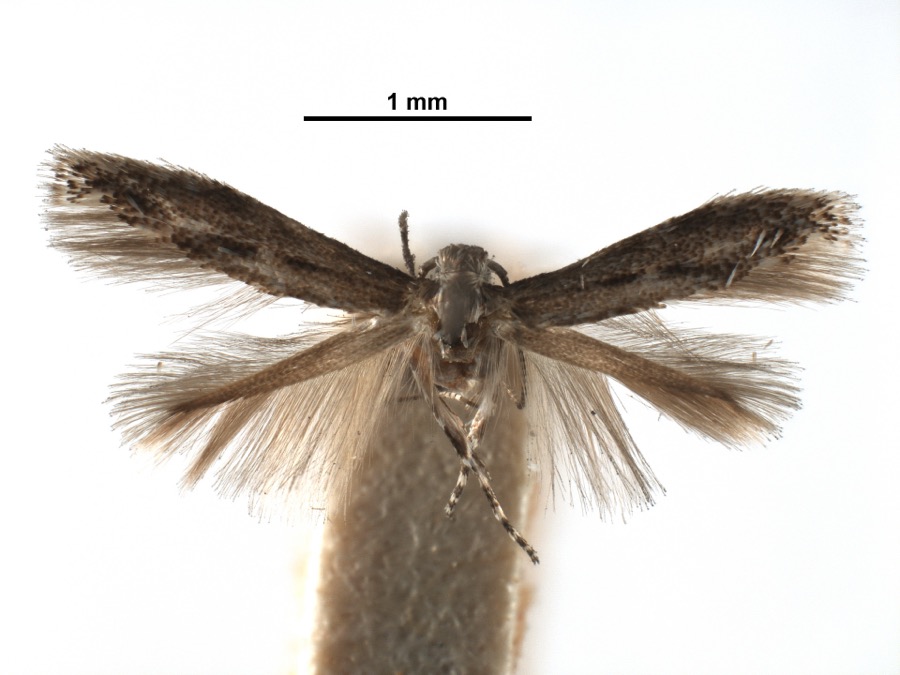
1975: 544 Animalia, 135 Fungi, 25 Plantae, 8 Protozoa, 1 Unrecorded. 12 distinct Species records are shown.
Collected by A. Braun, A. F. Braun, Alice Edwards; J.G. Edwards and others. Each is a
physical object with a catalogue
number, and each entry opens the museum's record. This is what was
collected and kept, not a survey of what lives here - nothing can be
concluded from a species being absent.
Regional context, not property-specific
evidence. The federal mineral resources record lists
2 workings within 5 miles of Salt House: 2 past producers.
None of them still produces. What was taken out: Limestone, General, Stone, Crushed/Broken. Distance is straight-line from the
map coordinates, so a quarry counted here may appear on a neighbouring
settlement's page as well.
Regional context, not property-specific
evidence. The National Weather Service names
Bethel, the town this property stands in, in 36 storm reports between 1995 and 2025: 15 thunderstorm wind, 13 hail, 4 flash flood, 3 flood.
No death or injury is recorded in these reports. Each account below is quoted exactly as the forecast office
filed it, from the NOAA Storm Events Database, and each date
opens the federal record of that event.
A 25-foot block wall was blown into a grocery store. A plate glass window was blown out and the porch of an adjacent home was severely damaged. Several barns were destroyed and a large number of trees and power poles were knocked down. Damage was determined to be caused by straight-line winds estimated at 80 to 100 mph.
Several trees were reported down. A healthy tree was broken and thrown 15 feet into a car and pole barn, both of which were damaged. Numerous power outages were also reported in the area. These occurrences were due to damaging thunderstorm winds.
A tornado briefly touched down over the southwest portion of Bethel, near Fossyl Drive and the baseball diamonds at Burke Park. The tornado moved east-southeast and downed a tree limb on South Ash Street. It lifted shortly thereafter as it passed just south of downtown Bethel. The tornado was rated an EF0 with maximum winds at 65 to 70 mph.
No historic map-sheet match is published
for this property yet. That does not mean no map exists. This record needs
a coordinate-quality review before it can be joined to a sheet boundary.
Browse the county's mapped places while that work is
pending.
From the nomination file
2,075 words on record
When this property was proposed for the
National Register, someone wrote the case for it: what the building is,
and why it matters. That document is a federal record in the public domain.
It is quoted below word for word, never summarised. The text was read off the scanned case file by machine, so the
occasional stray character is the recogniser's and the 1970s
typewriter's.
Description of the property
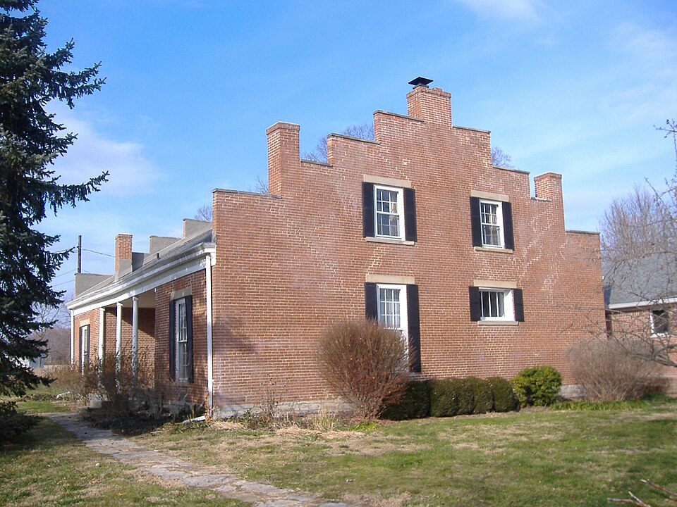
Four smooth columns, two engaged and two free--standing form a rectangular fan light divided into smaller rectangles by mullions. Side lights, also divided in small rectangles, flank either side of the door. A long, narrow double hung window, nine-over-nine, is located the cellar door. CONDITION XEXCELLENT UNEXPOSED DETERIORATED UNALTERED DESCRIPTION XALTERED RUINS FAIR chimneys. gabled roofs.The barns are frame with the exterior siding composed CHECK ONE hall with three rooms on either side.All of the interior partition of vertically placed boards. GOOD was originally H-shaped but the addition of a large room at the rear The interior floorplan consisted of a central North of the house is a two story brick out building.of square plan walls are of brick.
plain stone sills and lintels.The north and south ends of the.house The barns, located south of the house, are rectangular buildings with with a stone foundation. The roof is gabled and the brick is laid in common bond. There is a cellar with stone risers that once supported The facade is distinguished by a recessed central bay forming a porch projecting areas of the facade.Windows throughout the house have portico across the front of the recess.The door is paneled with a to either side of the entrance.A shuttered window islocated in the are distinguished by their stepped gable ends each of which have three has resulted in an L-shaped plan.The brick work is Flemish bond V The Salt House isa two story brick house with gabled roof.The house DATE. AREAS OF
Statement of significance
and as such, represents one of the first homes in Clermont County.Its H-shaped plan, step gables, and facade portico make it a sophisticated to the United States and settled in Berkeley County, Virginia. They brother Edward built the house which is still known as the Salt House. Legend states that as a child, Ulysses S. Grant was a frequent visitor at 1400-1499 COMMERCE condition. INVENTION ART 1700-1799 RELIGION POLITICS/GOVERNMENT ECONOMICS X1800-1899 PERIOD SIGNIFICANCE ARCHEOLOGY-HISTORIC TRANSPORTATION LAW THEATER AGRICULTURE SCIENCE XARCHITECTURE INDUSTRY LITERATURE SCULPTURE _ENGINEERING MUSIC MILITARY XEXPLORATION/SETTLEMENT ARCHEOLOGY-PREHISTORIC _COMMUNICATIONS 1900- SOCIAL/HUMANITARIAN _CONSERVATION the Salt House, coming from his nearby home in.Point Pleasant.
had only three owners to date, accounting in part for its excellent -1500-1599 son John, purchased a large tract of land in Tate township and he and his The Salt House dates from the first quarter of the nineteenth century and unique building for its early date. had three daughters and two sons before i790 when they traveled inland to BUILDER/ARCHITECT John Salt -1600-1699 Edward Salt was a native of Berkshire, England.
When he married a woman Kentucky- In 1796 they moved again, this time settling in Bullskin, Ohio, two trips to New Orleans by flatboat, returning thirteen times by of Irish descent he was disowned by his family and he and his bride came foot through Indian territory.John Salt died in 1859.The house has where Mr.Salt had charge ofa ferry until his death in 1812.His PHILOSOPHY
Quoted from the National Register nomination
for reference 76001382, 18 pages, held by the National Archives in Record
Group 79. See the
catalogue record.
Listed places nearby
5 within 8 miles
Other National Register properties close
enough to walk or drive between, ordered by distance from this one. Both
positions come from the same geocoding pass that matched these properties
to their map sheets.
Listing record. National Park Service National Register of Historic Places, listed-properties dataset, current to 2026-05-22.
Map join. Address geocoded through the United States Census geocoder, then tested against the published boundary of every sheet in the USGS Historical Topographic Map Collection.
How this page is made. Listing fields come from federal records; map-sheet coverage is a labelled coordinate-to-boundary calculation, not a source-field claim.
Specimens. Global Biodiversity Information Facility (GBIF), https://www.gbif.org/. Only records licensed CC0 or CC BY are used. Records licensed CC BY-NC are excluded because this site carries advertising. Images are checked individually and any whose licence is non-commercial, no-derivatives or unreadable is refused.
Mines and quarries. USGS Mineral Resources Data System (MRDS) https://mrdata.usgs.gov/mrds/ A work of the United States government, no copyright under 17 U.S.C. 105.
Storms. NOAA National Centers for Environmental Information, Storm Events Database https://www.ncei.noaa.gov/stormevents/ A work of the United States government, no copyright under 17 U.S.C. 105. Narratives are quoted verbatim from the National Weather Service report and are not edited or summarised.
 Block
Block