Listed on the National Register of Historic Places in
1976. A historic map-sheet match is not published yet. The record needs a coordinate-quality review before it can be joined to a sheet boundary.
From the record
one of 8 National Register listings in Defiance County · listed in 1976 · category: Building.
National Register reference number.76001414- the number the National Park Service assigned this property when it was listed, and the key its nomination file is catalogued under at the National Archives.
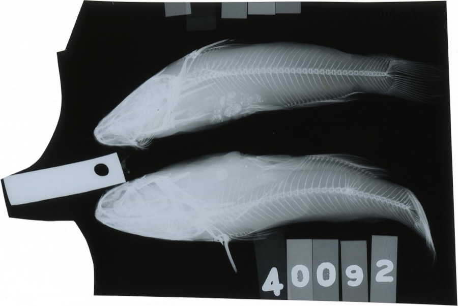
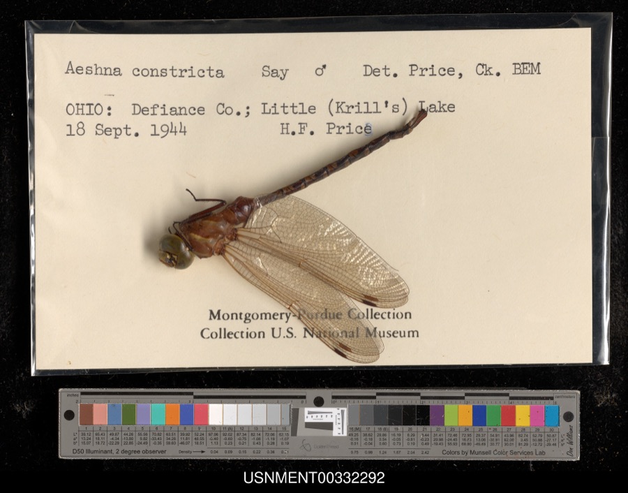
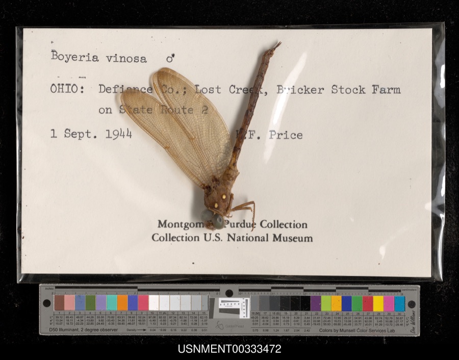
Specimens collected near this property
12 of 547 shown
Regional context, not property-specific
evidence. Museums hold 547 specimens
collected within 10 miles of St. Paul's Episcopal Church between 1860 and
1973: 547 Animalia. 12 distinct Species records are shown.
Collected by CLARENCE CLARK, D. Jordan et al., Ehrhart, O. E. and others. Each is a
physical object with a catalogue
number, and each entry opens the museum's record. This is what was
collected and kept, not a survey of what lives here - nothing can be
concluded from a species being absent.
Regional context, not property-specific
evidence. The National Weather Service names
Hicksville, the town this property stands in, in 48 storm reports between 1994 and 2026: 26 thunderstorm wind, 17 hail, 3 flash flood, 1 tornado.
No death or injury is recorded in these reports. Each account below is quoted exactly as the forecast office
filed it, from the NOAA Storm Events Database, and each date
opens the federal record of that event.
Emergency management officials reported flooding and flash flooding across much of the western half of the county. The Hicksville Community Hospital had water flowing into lower portions of the structure, requiring sandbagging. Laboratory areas were flooded, but the sandbagging efforts kept any water out of patient areas. Several roads were closed through the county, including U.S. 127 near Mud Creek, which quickly went over its banks. Video footage from a newspaper reported showed three to six inches of water flowing from a golf course pond into the intersection of Carpenter and River Roads. Exact damage figures were not available, but flooding damage across the county is estimated around $250,000.
Local media reported flash flooding across portions of far western Defiance County, mainly from Hicksville to Ney. Water entered the first floor of the Hicksville Community Memorial Hospital, forcing the evacuation of a few patients, as well as power being shut off to the laboratory and radiology departments. County officials reported State Roads 49, 37 and 2 were closed near the Indiana and Ohio state line. The village of Ney sustained heavy flooding as well as Lick Creek flowed over its banks flooding the Ney Community Park, parts of the Jewell Grain facility. Seeds and chemicals had to be moved from the grain facility, with sandbagging being done to stop the flooding. A parked car was submerged under flood waters behind the Ney Oil Company. Standing water persisted into much of the next day. However, evacuations ended within a few hours of the event ending.
A trained spotter reported a swath of damage extending from near the Ohio/Indiana state line northeast for about 4 miles to near the intersection of Buckskin and Gingrich roads. Several areas of tree damage were observed. Structure damage consisted of one barn destroyed, another losing its roof, roof damage to two houses, an aluminum flagpole was snapped off and some windows broken out of a few residences. A wheat field also was flattened in one area. Damage estimates of around $100,000 in property and $10,000 in crop.
A ground and drone servey revelaed a tornado touched down at a property west of Casebeer Miller Road and north of Buckskin Raod, and tracked quickly to the northeast, crossing about a third of a mile north of Buckskin Road before dissipating in an area of trees. Several trees were snapped or uprooted, with three barns suffering minor to major damage as well as one home suffering damage to a roof and pool deck. Maximum wind speeds are estimated up to 90 mph.
A trained spotter measured a 73 mph wind gusts at the corner of State Route 49 and Paulding/Defiance County Line Road. Large branches and other objects were blown down in the area.
Two trees, with some signs of rot, were blown down by strong winds. Several four to ten inch diameter branches were also down in the area. Power lines were reported down, likely from falling branches.
1 paper published in this town,
digitised by the Library of Congress and free to read: 0 issues,
0 pages. Every page is searchable, so a name or a street can be
looked for directly in what the town printed about itself at the time.
No historic map-sheet match is published
for this property yet. That does not mean no map exists. This record needs
a coordinate-quality review before it can be joined to a sheet boundary.
Browse the county's mapped places while that work is
pending.
Named in the fire insurance atlases
Sanborn surveyors printed an index of the
town's establishments at the front of each atlas. This property is named in
one, read straight off the scanned sheet.
When this property was proposed for the
National Register, someone wrote the case for it: what the building is,
and why it matters. That document is a federal record in the public domain.
It is quoted below word for word, never summarised. The text was read off the scanned case file by machine, so the
occasional stray character is the recogniser's and the 1970s
typewriter's.
Description of the property
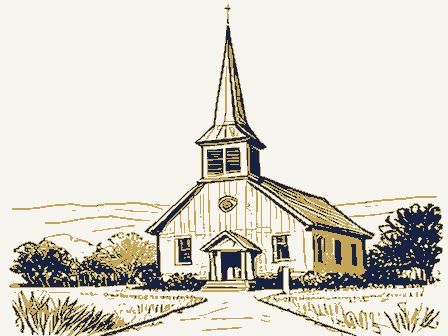
imported from England. The present wall lights are from Emmanuel Church in Petoskey, Michigan. The altar, organ, and baptisimal font are original. CONDITION MOVED DATE UNEXPOSED UNALTERED XEXCELLENT RUINS round window. DETERIORATED FAIR Interior walls are plastered.There is vertical ash wainscotting covering the CHECK ONE The exterior walls are sided with vertical boards and chamfered battens which center of the church the original brass ventilating coal oil chandelier hangs. The sides of the building have four, rectangular casement windows.Panes of This small, one-story church building is built in the Gothic revival style. covered with tar shingles in the same pattern.
stained-glass windows in the rear wall.All windows are original and were It was originally shingled in an umbricated pattern of slate but is now four feet and which has a steeply pitched gable roof and Gothic-arched double chimney on the ridge and a single door to either side of the nave reached by a short flight of steps and small landing.There are three Gothic-arched, The foundation is stone pillars;the partial basement is no more than a stone- -GOOD designed by Edgerton, is in place. The gable roof has a very steep pitch. The chancel forms a "T" with the main body of the church. Also gable roofed, its are original. The facade is quite plain. There is an entrance way which projects doors.
XALTERED the entrance.Above the entry below the peak of the gable roof is a small, lower feet) portion of the walls. The open beam roof is also ash.In the AREAS OF
Statement of significance
Hicksville and was built by Alfred Edgerton, a prominent local citizen. was the only Episcopalian in the area, he used the church as his private chapel 1600-1699 1873 1700-1799 1400-1499 INVENTION PHILOSOPHY PERIOD EDUCATION ART SIGNIFICANCE ARCHEOLOGY-HISTORIC BUILDER/ARCHITECT RELIGION AGRICULTURE THEATER TRANSPORTATION SCULPTURE LITERATURE XARCHITECTURE MUSIC Hicksville associated with Edgerton. 1900- _EXPLORATION/SETTLEMENT INDUSTRY MILITARY _COMMUNICATIONS _POLITICS/GOVERNMENT St.Paul's Episcopal Church is an excellent example of Gothic-revival architecture While with the land companies, Edgerton was a patron of several churches in -1500-1599 _ENGINEERING Alfred P.Edgerton was the representative of the Hicks Land Company and the until he moved from Hicksville in 1875.
The church was completed in 1873 and _COMMERCE Ohio State Senate and asa member of the House of Representatives in Congress. - LAW ARCHEOLUGY-PREHISTORIC -COMMUNITY PLANNING in Defiance County. It is one of few remaining frame Gothic-revival buildings in the area and is largely unaltered.The church is the second oldest building in
Quoted from the National Register nomination
for reference 76001414, 17 pages, held by the National Archives in Record
Group 79. See the
catalogue record.
Listing record. National Park Service National Register of Historic Places, listed-properties dataset, current to 2026-05-22.
Map join. Address geocoded through the United States Census geocoder, then tested against the published boundary of every sheet in the USGS Historical Topographic Map Collection.
How this page is made. Listing fields come from federal records; map-sheet coverage is a labelled coordinate-to-boundary calculation, not a source-field claim.
Specimens. Global Biodiversity Information Facility (GBIF), https://www.gbif.org/. Only records licensed CC0 or CC BY are used. Records licensed CC BY-NC are excluded because this site carries advertising. Images are checked individually and any whose licence is non-commercial, no-derivatives or unreadable is refused.
Storms. NOAA National Centers for Environmental Information, Storm Events Database https://www.ncei.noaa.gov/stormevents/ A work of the United States government, no copyright under 17 U.S.C. 105. Narratives are quoted verbatim from the National Weather Service report and are not edited or summarised.
 Block
Block