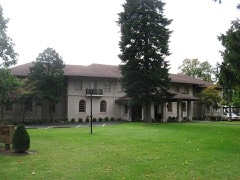
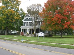
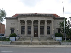
Built in 1927 in the Neoclassical architecture. Listed on the National Register of Historic Places in
1976. A historic map-sheet match is not published yet. The record needs a coordinate-quality review before it can be joined to a sheet boundary.
From the record
“The Harding Tomb is the burial location of the 29th President of the United States, Warren G. Harding and First Lady Florence Kling Harding.”
Wikipedia article Harding Tomb, CC BY-SA 4.0.
one of 14 National Register listings in Marion County · listed in 1976 · category: Structure · built in 1927, Neoclassical architecture, by Henry Hornbostel · one of 1 National Historic Landmarks in Marion County.
National Register reference number.76001485- the number the National Park Service assigned this property when it was listed, and the key its nomination file is catalogued under at the National Archives.
Marion Township was originally covered with fine timber, except the low grounds, or swales, which were covered with grass, and would be so covered to this day were it not for the art of drainage, which the agricultural community have so assiduously cultivated of late years, with the hope that soon these low grounds will become permanently more fertile and profitable than the uplands. As a single tract of land, this township is the highest between Columbus and Toledo, according to the railroad survey, and is drained by natural water-courses toward all points of the compass except eastward, and in that direction ditching has been done to so great an extent within a few years that the land is, as it were, being raised up many feet above water level.
An inexhaustible supply of good building stone exists in this township, and even within the corporate limits of Marion Village, for an account of which see geology in the first chapter, and a sketch of the quarries in the chapter on Marion.
Regional context, not property-specific
evidence. The
federal wildfire occurrence database
lists 6 fires within 5 miles of Harding Tomb between
2002 and 2002, burning about 2 acres in total. None started naturally. 2 were recorded as arson.
Distance is straight-line from the map coordinates, so a fire counted
here may appear on a neighbouring settlement's page as well.
Reported cause
Fires
Smoking
2
Missing data/not specified/undetermined
2
Arson/incendiarism
2
The most recent of
them, most recent first, with the day each was reported and the service
that recorded it.
Regional context, not property-specific
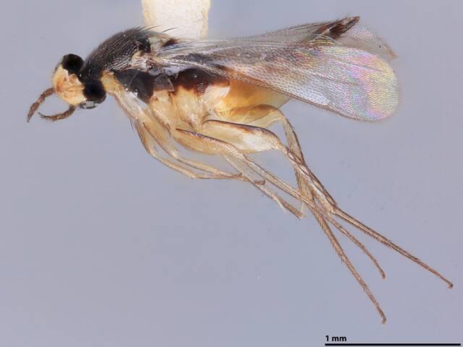
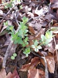
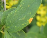
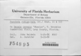
evidence. Museums hold 336 specimens
collected within 10 miles of Harding Tomb between 1892 and
1975: 323 Animalia, 8 Fungi, 5 Plantae. 12 distinct Species records are shown.
Collected by A. Ogilvie, Acker, G., Baumgartner, L. and others. Each is a
physical object with a catalogue
number, and each entry opens the museum's record. This is what was
collected and kept, not a survey of what lives here - nothing can be
concluded from a species being absent.
Regional context, not property-specific
evidence. The federal mineral resources record lists
4 workings within 5 miles of Harding Tomb: 3 producers, 1 plant.
All of them still produce. What was taken out: Sand and Gravel, Construction, Stone, Crushed/Broken. Distance is straight-line from the
map coordinates, so a quarry counted here may appear on a neighbouring
settlement's page as well.
Regional context, not property-specific
evidence. The National Weather Service names
Marion, the town this property stands in, in 120 storm reports between 1994 and 2026: 68 thunderstorm wind, 48 hail, 3 tornado, 1 flood.
The reports record 1 death and 3 injuries. Each account below is quoted exactly as the forecast office
filed it, from the NOAA Storm Events Database, and each date
opens the federal record of that event.
A severe thunderstorm moved into Marion around 4:10 pm. Numerous trees, large limbs, utility poles and power lines came down during the storm. Reports indicate that many trees fell onto homes, garages and cars throughout the city. One of the houses was damaged enough to be considered destroyed. Between 30 and 35 utility poles had to be replaced because of trees and large limbs falling onto them. One house had three trees fall onto it causing extensive damage. A house in Marion that was being remodeled sustained damage by trees. Three people working on the house quickly took shelter on a porch during the storm, but were injuried when a tree fell onto the roof of the porch and collapsed the roof. A twenty-two year old girl was killed when a large tree limb fell onto the car while she was driving. A passenger in the vehicle survived with injuries. ||Additional support was called in to help clean up in Marion. Electric companies and municipal agencies coordinated to help clean up debris. Estimated costs for clean up in Marion were approximately $91 thousand. 369 loads of debris were cleaned up throughout the city.
A weak tornado touched down about four miles west of Marion and remained on the ground for a short time. A garage and two barns were destroyed and a large shed was badly damaged. Numerous trees and power lines were downed and some minor damage occurred to several homes in the area. Most of the damage appeared to be caused by an intense microburst, which accompanied the tornado. Winds were estimated at 80 to 90 miles per hour.
Thunderstorm winds downed several trees and large limbs across the southeastern corner of Marion County. A home in the City of Marion was damaged by a fallen tree. At least two vehicles were damaged by fallen trees. Scattered power outages were reported.
After recent heavy rains throughout the area over the past few days, another round of heavy rain moved through the area during the morning hours of the 22nd. With recent rainfall already saturating the ground and bringing streams and rivers to capacity, this additional rainfall led to flooding throughout northeastern Marion County. Tully, Scott, Claridon, and Richland Townships were most affected with many roads closed because of flooding. The water did not recede until the midday hours of the 23rd.
A small tornado touched down in rural Marion County about five miles north of Marion near the intersection of State Route 4 and U.S. Highway 23. The tornado was on the ground for only a couple hundred feet and caused no damage other than downing several trees.
The ASOS at the Marion Airport measured a 51 knot wind gust from a thunderstorm. Several trees were also blown down in Caledonia in eastern Marion County.
Numerous trees and large limbs were reported down from thunderstorm winds. Also, railroad gate crossing bars were broken due to severe thunderstorm winds.
Three power poles snapped at the intersection of Richland Road and Riviera Drive on the southeast side of Marion. Damage was caused by a line of rain showers.
1 paper published in this town,
digitised by the Library of Congress and free to read: 0 issues,
0 pages. Every page is searchable, so a name or a street can be
looked for directly in what the town printed about itself at the time.
No historic map-sheet match is published
for this property yet. That does not mean no map exists. This record needs
a coordinate-quality review before it can be joined to a sheet boundary.
Browse the county's mapped places while that work is
pending.
From the nomination file
2,204 words on record
When this property was proposed for the
National Register, someone wrote the case for it: what the building is,
and why it matters. That document is a federal record in the public domain.
It is quoted below word for word, never summarised. The text was read off the scanned case file by machine, so the
occasional stray character is the recogniser's and the 1970s
typewriter's.
Description of the property
The tomb interior is similar though more elaborate than the exterior. The with a wreath of roses, differentiating the graves of Mr. g Mrs. Harding. At CONDITION UNEXPOSED foundation. RUINS EXCELLENT with aluminum coping. XUNALTERED FAIR CHECK ONE Above the columns is a blank frieze and denticular cornice.The crypts of landscaped grounds among rows of elms and clusters of shrubs. President Harding and his wife are located on the grey and white marble floor Constructed in 1926-1927,the Harding Memorial is an excellent adaptation of The exterior can be divided into three sections for the purpose of description. The base is composed of steps that lead to the crypt area inside the circle.
- DETERIORATED of the circle except where broken on the west side to allow the viewing of the in diameter and 52' in height and is built of Georgia white marble on a stone of the interior. Pearl Labrador Granite, surrounded by a bed of myrtle. One stone is marked crypts. A blank frieze and cornice topped with a smooth wall completes the classical elements in a contemporary structure.The circular memorial is 103 exterior.There is no roof.The tops of the cornice and walls are covered AREAS OF
Statement of significance
Resembling a Greek tholas, the Harding Memorial is one of the most presidential tomb. In its peaceful park-like setting, the memorial is they had raised, through national subscription, $977,821.76. A competition York, City Hall in Oakland, California, the Carnegie Tech group in Pittsburgh, and the Westinghouse Memorial Group in Schenely Park, New York. 1927. Harding, the 29th President of the United States, was a native of Marion. He showed poor judgement in his choosing of political friends, and his administration Hoover agreed to in June, 1931.
1500-1599 1800-1899 1700-1799 ENGINEERING SCIENCE ARCHEOLOGY-PREHISTORIC ARCHEOLOGY-HISTORIC PERIOD SIGNIFICANCE AGRICULTURE XARCHITECTURE PREHISTORIC BUILDER/ARCHITECT Henry Horbostel THEATER MILITARY XPOLITICS/GOVERNMENT INVENTION _COMMUNICATIONS LITERATURE MUSIC _EXPLORATION/SETTLEMENT memorial is deserving of the protection of the National Register. _TRANSPORTATION Henry Hornbostel of Pittsburgh was awarded the contract.Horbostel was a graduate of the Ecole des Beaux Arts in Paris and taught at Columbia University positions for personal gains again and again.
Harding died while in office, and Carnegie Tech.Among his other designs are the Hell Gate Bridge in New and no one from Washington would dedicate the tomb until Presiden Herbert of leading American architects was held to design a fitting memorial. _SCULPTURE Harding outlined in his will that he be provided a simple resting place- the are employed;its simplicity alone creates the dignity befitting a The Harding Memorial Association was founded October 1l,1923 for the purpose -1400-1499 _CONSERVATION body placed there by 1927,the shocks of the Harding scandals continued to unfold of erecting and endowing a fitting memorial to the memory of Harding and He was nominated for the presidency in 1920 and elected by a huge majority. -1600-1699 impressive memorials in Ohio.
No elaborate embellishments or effigies purity of the memorial fulfills Harding's desire.
Quoted from the National Register nomination
for reference 76001485, 16 pages, held by the National Archives in Record
Group 79. See the
catalogue record.
Listed places nearby
6 within 8 miles
Other National Register properties close
enough to walk or drive between, ordered by distance from this one. Both
positions come from the same geocoding pass that matched these properties
to their map sheets.
Listing record. National Park Service National Register of Historic Places, listed-properties dataset, current to 2026-05-22.
Map join. Address geocoded through the United States Census geocoder, then tested against the published boundary of every sheet in the USGS Historical Topographic Map Collection.
How this page is made. Listing fields come from federal records; map-sheet coverage is a labelled coordinate-to-boundary calculation, not a source-field claim.
Wildfire. Short, Karen C. 2022. Spatial wildfire occurrence data for the United States, 1992-2020 [FPA_FOD_20221014]. 6th Edition. Fort Collins, CO: Forest Service Research Data Archive. https://doi.org/10.2737/RDS-2013-0009.6 Collected with United States Government funding and usable without additional permissions or fees.
Specimens. Global Biodiversity Information Facility (GBIF), https://www.gbif.org/. Only records licensed CC0 or CC BY are used. Records licensed CC BY-NC are excluded because this site carries advertising. Images are checked individually and any whose licence is non-commercial, no-derivatives or unreadable is refused.
Mines and quarries. USGS Mineral Resources Data System (MRDS) https://mrdata.usgs.gov/mrds/ A work of the United States government, no copyright under 17 U.S.C. 105.
Storms. NOAA National Centers for Environmental Information, Storm Events Database https://www.ncei.noaa.gov/stormevents/ A work of the United States government, no copyright under 17 U.S.C. 105. Narratives are quoted verbatim from the National Weather Service report and are not edited or summarised.
 Block
Block