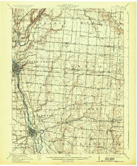
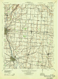
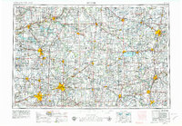
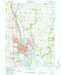
Listed on the National Register of Historic Places in 1976. 6 historic topographic surveys show this location, the earliest from 1914.
From the record
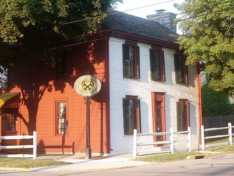
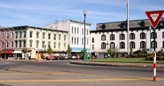
“The Overfield Tavern is an early-nineteenth-century log tavern located along the bank of the Great Miami River in Troy, Ohio. Until December 2024, it was open to the public as a house museum.”
Wikipedia article Overfield Tavern, CC BY-SA 4.0.
One of 45 National Register listings published here for Miami County · listed in 1976 · category: Building.
National Register reference number.76001495- the number the National Park Service assigned this property when it was listed, and the key its nomination file is catalogued under at the National Archives.
The ground it stands on
62,800 words
The chapter on Concord Township in The History of Miami County, Ohio, published 1880 names Troy. This is what it says, exactly as the scans read.
Among the early settlers, we may mention Aaron Tullis, who came from Kentucky by way of Dayton, in a wagon, with a family of boys, arriving here in 1805 ; William Barbee, who came about 1804 ; Reuben Shackelford, Alexander Telford. In 1806, John Peck, with eight children, Jacob, John, Joseph, Isaac, and four daughters, came from Kentucky and settled on Boone's place, one and a nau miles from Troy. Mr. Peck came in the winter, selected his land and bought loU acres/ with one acre cleared, for $100. It had a little log-cabin on it, one room 16x18. His stock having been brought from Kentucky, nearly all died the second year, losing eleven horses, besides sheep, hogs and cattle, only leaving him one mare, two or three cows and a few sheep. His land was of the best in the country, having four fine springs and good soil.
William Gahagan entered the land Troy was laid out on. He was one of Gen. Wayne's soldiers, and was so proud of it, and referred to it so often, that finally he was called Gen. Wayne. He had three sons and daughter.
Regional context, not property-specific
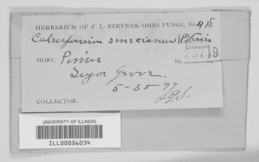
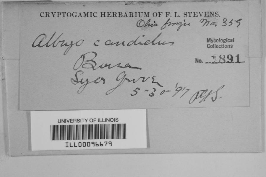
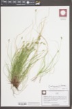
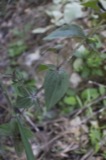
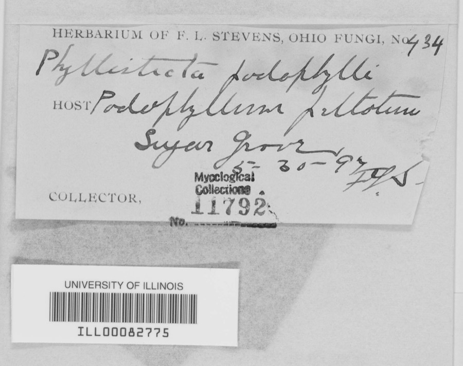
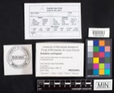
evidence. Museums hold 364 specimens
collected within 10 miles of Overfield Tavern between 1835 and 1975: 331 Animalia, 16 Fungi, 12 Plantae, 3 Protozoa, 1 Unrecorded, 1 Chromista.
12 distinct Species records are shown.
Collected by A V DEL, A. Gaufin, A. R. Gaufin and others. Each is a
physical object with a catalogue
number, and each entry opens the museum's record. This is what was
collected and kept, not a survey of what lives here - nothing can be
concluded from a species being absent.
Regional context, not property-specific
evidence. The federal mineral resources record lists
8 workings within 5 miles of Overfield Tavern: 5 past producers, 2 producers, 1 plant.
3 still produce. What was taken out: Sand and Gravel, Construction, Stone, Crushed/Broken, Clay, Limestone, General. Distance is straight-line from the
map coordinates, so a quarry counted here may appear on a neighbouring
settlement's page as well.
Regional context, not property-specific
evidence. The National Weather Service names
Troy, the town this property stands in, in 62 storm reports between 1994 and 2025: 38 thunderstorm wind, 8 hail, 8 flood, 2 lightning.
The reports record 4 injuries. Each account below is quoted exactly as the forecast office
filed it, from the NOAA Storm Events Database, and each date
opens the federal record of that event.
A man and his two sons were standing underneath a tree when it was struck by lightning at the Troy Strawberry Festival. The three individuals suffered non life-threatening injuries.
The tornado touched down initially in the southwest portions of the city of Troy and moved northeast through the center of the city. It then crossed the Great Miami River before it weakened and lifted in the far northeast portions of the city.||Much of the damage was confined to trees and roofs, both residential and commercial, as the tornado moved through the city. To the west of the Great Miami River, damage was more intermittent and weak in comparison to areas east of the Great Miami River, where more concentrated and significant tree and roof damage was noted. In particular, areas near Troy High School and along and east of North Market Street saw the most concentrated and higher end structural damage to roofing material. This included the far eastern portions of the downtown area which saw several businesses lose all or portions of their roofs.||Damage was tornadic in nature, especially on the east side of the Great Miami River, where convergent tree damage was easily noted before the tornado rapidly weakened as it left the city. Damage along the path was consistent with wind speeds ranging from 65 to 80 mph, again with the highest wind speeds estimated on the east side of the Great Miami River.
The initial damage occurred near the intersection of Cheshire Road and Dorset Road, where several large tree limbs were downed. Damage became a little more concentrated near the intersection of Armand Drive and McKaig Avenue, where several large tree limbs and a few trees were downed. Tree damage also occurred at an apartment complex along Red Cedar Drive.||The most heavily concentrated area of damage occurred near Drury Lane and Ridge Avenue. Numerous very large, healthy trees were downed, with one trunk snapped at its base, and several other very large branches snapped not far off the ground. A couple of homes also had some minor roof damage. On West Simpson Street, just to|the east, a car was heavily damaged by a falling tree limb.||The damage path became narrower near Terrace Place, Market Street, and West Street. A bank sign was damaged and several more large trees and tree limbs were downed. In the neighborhood south of West Street, a few more homes had minor roof damage, with a fairly consistent area of tree damage observed as far southeast as Walker Street and Dakota Street.||Tree damage was also reported in other locations in Troy, such as Stanfield Road, West Ross Street, and Dakota Street. The rest of this damage is believed to have been caused by straight-line winds with speeds of 60 to 70 MPH.
Numerous trees and powerlines were downed. A building sustained roof damage at the Miami County Fairgrounds. A tree also fell on a vehicle, causing minor damage.
More than 3 inches of rain fell in only a few hours causing creeks and streams to rise out of their banks. Many roads and neighborhoods were flooded and a few buildings and homes were flooded.
United States Geological Survey topographic
sheets whose coverage includes this point. Matched by taking the coordinate the National Park Service records for this property, then
testing that coordinate against the published boundary of every sheet.
When this property was proposed for the
National Register, someone wrote the case for it: what the building is,
and why it matters. That document is a federal record in the public domain.
It is quoted below word for word, never summarised. The text was read off the scanned case file by machine, so the
occasional stray character is the recogniser's and the 1970s
typewriter's.
Description of the property
and restored in 1948, the present chimney, a replica of one in established that a considerable renovation occurred c. 1837, believed to include weatherboarding the exterior, plastering, possible frame The first floor is a representation of a frontier tavern and the CONDITION UNEXPOSED UNALTERED DETERIORATED DESCRIPTION RUINS nersery school. FAIR XALTERED evidence indicates it probably should be centerd in the north wall. reentrant angle of the wing of unknown vintage extends east slightly CHECK ONE a projecting plain boxed cornice beyond the tavern. The rear wing consists of a small one and one-half story log The tavern is a rectangular two story horizontal shaped and steeple notched log structure on a stone foundation.
The three with returns and weatherboard The interior of the tavern has one large room on each floor. second is an exhibit gallery.The rear wing and addition house a bay facade faces south with a central vertical plank door and 6/6 in the gable end. -GOOD DATE 1808 MOVED wall has the massive exterior stone chimney.The original fireplace The asphalt shingle roof has extended box eaves and a gable that has had been removed (possibly c.1837).When the tavern was identified A frame addition in the cabin connected to the tavern by the hewed beam joist of the dog run. vertical addition to the dog run wing. AREAS OF
Statement of significance
Overfield Tavern (1808) is nominated for its historical the first building raised in the newly platted county seat, Troy, The couple appeared at Staunton on the banks of the Great Miami, in Johnston, Indian agent at Upper Piqua; Gen. Arthur St. Clair, by Edward A. Hobart, president of Hobart Brothers Company, in 1948. Edward and his brother William H. Hobart, Sr. purchased the building History XX1800-1899 1700-1799 1600-1699 ECONOMICS RELIGION ART THEATER ARCHITECTURE PHILOSOPHY PERIOD INVENTION CONSERVATION AGRICULTURE SCULPTURE ARCHEOLOGY-HISTORIC TRANSPORTATION SCIENCE SIGNIFICANCE MILITARY INDUSTRY _COMMUNICATIONS XPOLITICS/GOVERNMENT 1400-1499 SOCIAL/HUMANITARIAN Ohio. Troy Historical Society. several commercial intrusions.
has been open to the public as a museum under the direction of the business associated with the court.
Benjamin Overfield of Pennsylvania came to Ohio after a sojourn significance as one of only two log structures standing in Ohio that served as a temporary courthouse, the first Miami County Court and retired governor of the Northwest Territory; and General William 1900- Judge Francis Dunlavy was held there on November 5,1808.In Overfield's offer of the upstairs room of his tavern to the Overfield and his wife had a reputation for running the best a good move on Overfield's part for the tavern flourished with County shall be held in the house-of Benjamin-Overfield in Troy, new plat of Troy and in the spring of 1808 began construction of his -LITERATURE moved his tavern to the Public Square before 1824,and the log MUSIC -COMMUNITY PLANNING BUILDER/ARCHITECT Benjamin Overfield inn around.
Quoted from the National Register nomination
for reference 76001495, 13 pages, held by the National Archives in Record
Group 79. See the
catalogue record.
Listed places nearby
6 within 8 miles
Other National Register properties close
enough to walk or drive between, ordered by distance from this one. Both
positions come from the same geocoding pass that matched these properties
to their map sheets.
Listing record. National Park Service National Register of Historic Places, listed-properties dataset, current to 2026-05-22.
Map join. Address geocoded through the United States Census geocoder, then tested against the published boundary of every sheet in the USGS Historical Topographic Map Collection.
How this page is made. Listing fields come from federal records; map-sheet coverage is a labelled coordinate-to-boundary calculation, not a source-field claim.
Specimens. Global Biodiversity Information Facility (GBIF), https://www.gbif.org/. Only records licensed CC0 or CC BY are used. Records licensed CC BY-NC are excluded because this site carries advertising. Images are checked individually and any whose licence is non-commercial, no-derivatives or unreadable is refused.
Mines and quarries. USGS Mineral Resources Data System (MRDS) https://mrdata.usgs.gov/mrds/ A work of the United States government, no copyright under 17 U.S.C. 105.
Storms. NOAA National Centers for Environmental Information, Storm Events Database https://www.ncei.noaa.gov/stormevents/ A work of the United States government, no copyright under 17 U.S.C. 105. Narratives are quoted verbatim from the National Weather Service report and are not edited or summarised.
 Block