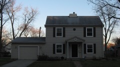
Listed on the National Register of Historic Places in
1976. A historic map-sheet match is not published yet. The record needs a coordinate-quality review before it can be joined to a sheet boundary.
From the record
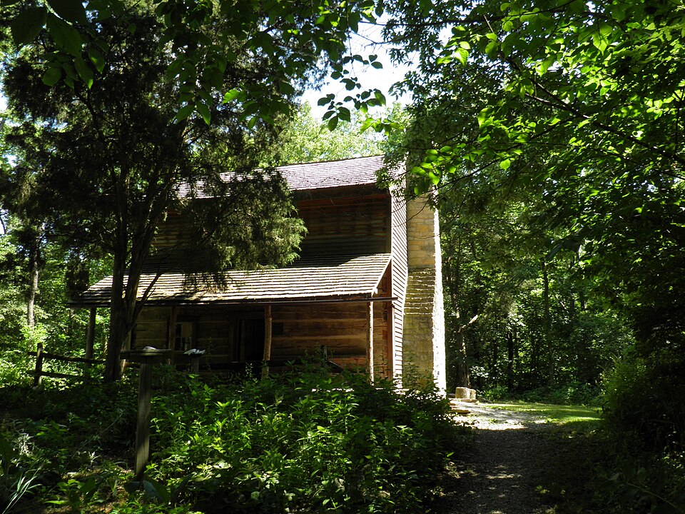
“The Benjamin and Phebe Iddings Log House is a two-story log dwelling built in 1804 in Miami County, Ohio. It is the oldest surviving building in the county and is located on the property of Brukner Nature Center.”
Wikipedia article Benjamin Iddings Log House, CC BY-SA 4.0.
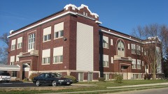
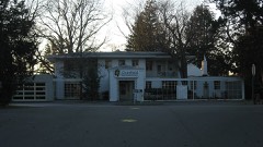
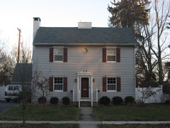
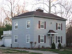
one of 36 National Register listings in Miami County · listed in 1976 · category: Building.
National Register reference number.76001497- the number the National Park Service assigned this property when it was listed, and the key its nomination file is catalogued under at the National Archives.
This township, as are most of the others in this county, is well provided with numerous excellent roads, offering splendid facilities for traveling or teaming in almost any season of the year ; these are, however, comparatively speaking, a modern invention ; the oldest inhabitant of the township remembers well how, in former times, when it became necessary to construct a highway for general utility, the neighbors would collect together with ax and mattock, and persistently chop and grub their way through the forest till they had reached the place for which they started. These roads, if not so smooth and straight as the beautiful drives of to-day, possessed the redeeming feature of being well shaded. Numerous pikes cross the township in various directions ; of these, the Covington and Panther Creek traverse a part of the northern portion of the township, Hogpath Pike runs from Pleasant Hill west through the township, while the Troy & Newton Pike extends from Pleasant Hill to Troy. The Newton & Covington Pike is the oldest in the township, and probably as old as any in the county.
Regional context, not property-specific
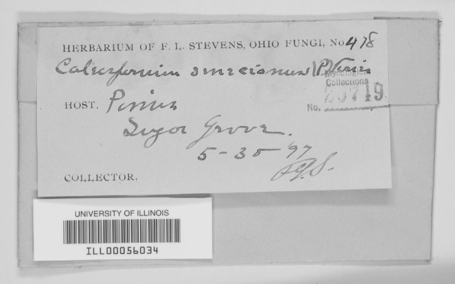
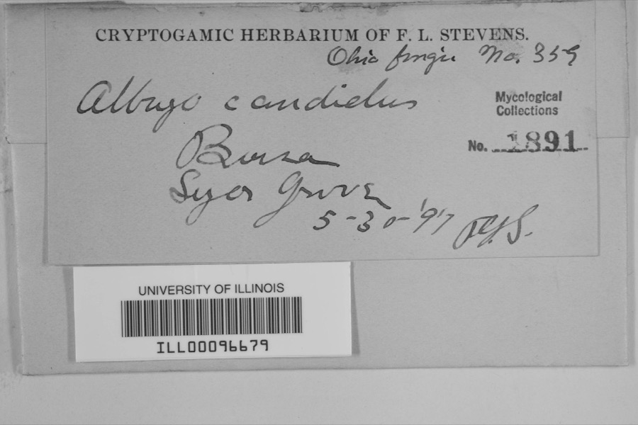
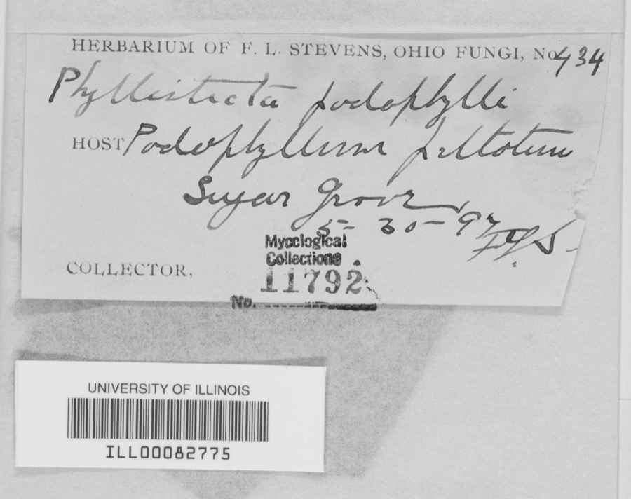
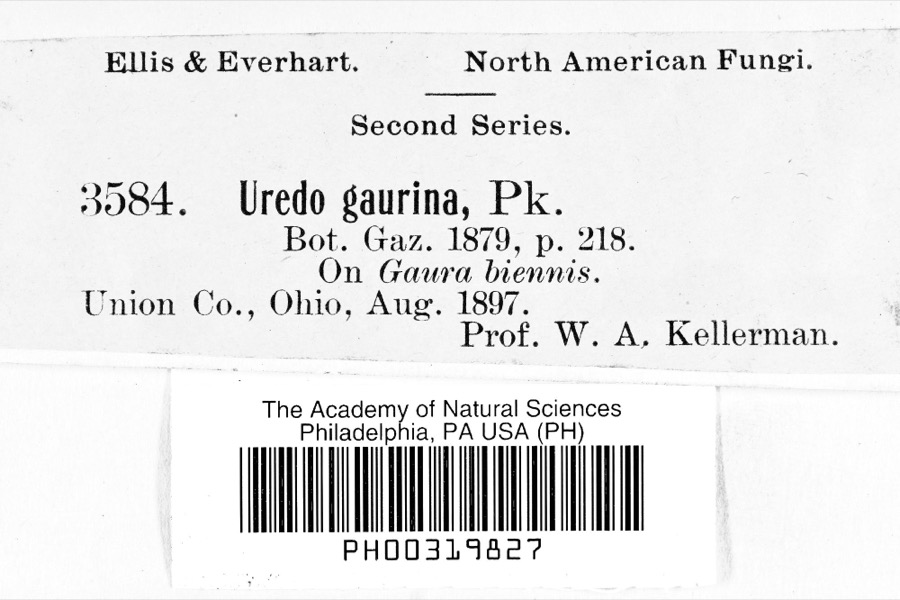
evidence. Museums hold 349 specimens
collected within 10 miles of Iddings, Benjamin, Log House between 1835 and
1975: 316 Animalia, 17 Fungi, 14 Plantae, 1 Unrecorded, 1 Chromista. 12 distinct Species records are shown.
Collected by A V DEL, A. Gaufin, A. R. Gaufin and others. Each is a
physical object with a catalogue
number, and each entry opens the museum's record. This is what was
collected and kept, not a survey of what lives here - nothing can be
concluded from a species being absent.
Regional context, not property-specific
evidence. The federal mineral resources record lists
8 workings within 5 miles of Iddings, Benjamin, Log House: 4 past producers, 3 producers, 1 plant.
4 still produce. What was taken out: Sand and Gravel, Construction, Limestone, General, Stone, Crushed/Broken, Limestone, Dimension. Distance is straight-line from the
map coordinates, so a quarry counted here may appear on a neighbouring
settlement's page as well.
Regional context, not property-specific
evidence. The National Weather Service names
Troy, the town this property stands in, in 62 storm reports between 1994 and 2025: 38 thunderstorm wind, 8 hail, 8 flood, 2 lightning.
The reports record 4 injuries. Each account below is quoted exactly as the forecast office
filed it, from the NOAA Storm Events Database, and each date
opens the federal record of that event.
A man and his two sons were standing underneath a tree when it was struck by lightning at the Troy Strawberry Festival. The three individuals suffered non life-threatening injuries.
The tornado touched down initially in the southwest portions of the city of Troy and moved northeast through the center of the city. It then crossed the Great Miami River before it weakened and lifted in the far northeast portions of the city.||Much of the damage was confined to trees and roofs, both residential and commercial, as the tornado moved through the city. To the west of the Great Miami River, damage was more intermittent and weak in comparison to areas east of the Great Miami River, where more concentrated and significant tree and roof damage was noted. In particular, areas near Troy High School and along and east of North Market Street saw the most concentrated and higher end structural damage to roofing material. This included the far eastern portions of the downtown area which saw several businesses lose all or portions of their roofs.||Damage was tornadic in nature, especially on the east side of the Great Miami River, where convergent tree damage was easily noted before the tornado rapidly weakened as it left the city. Damage along the path was consistent with wind speeds ranging from 65 to 80 mph, again with the highest wind speeds estimated on the east side of the Great Miami River.
The initial damage occurred near the intersection of Cheshire Road and Dorset Road, where several large tree limbs were downed. Damage became a little more concentrated near the intersection of Armand Drive and McKaig Avenue, where several large tree limbs and a few trees were downed. Tree damage also occurred at an apartment complex along Red Cedar Drive.||The most heavily concentrated area of damage occurred near Drury Lane and Ridge Avenue. Numerous very large, healthy trees were downed, with one trunk snapped at its base, and several other very large branches snapped not far off the ground. A couple of homes also had some minor roof damage. On West Simpson Street, just to|the east, a car was heavily damaged by a falling tree limb.||The damage path became narrower near Terrace Place, Market Street, and West Street. A bank sign was damaged and several more large trees and tree limbs were downed. In the neighborhood south of West Street, a few more homes had minor roof damage, with a fairly consistent area of tree damage observed as far southeast as Walker Street and Dakota Street.||Tree damage was also reported in other locations in Troy, such as Stanfield Road, West Ross Street, and Dakota Street. The rest of this damage is believed to have been caused by straight-line winds with speeds of 60 to 70 MPH.
Numerous trees and powerlines were downed. A building sustained roof damage at the Miami County Fairgrounds. A tree also fell on a vehicle, causing minor damage.
More than 3 inches of rain fell in only a few hours causing creeks and streams to rise out of their banks. Many roads and neighborhoods were flooded and a few buildings and homes were flooded.
No historic map-sheet match is published
for this property yet. That does not mean no map exists. This record needs
a coordinate-quality review before it can be joined to a sheet boundary.
Browse the county's mapped places while that work is
pending.
From the nomination file
1,180 words on record
When this property was proposed for the
National Register, someone wrote the case for it: what the building is,
and why it matters. That document is a federal record in the public domain.
It is quoted below word for word, never summarised. The text was read off the scanned case file by machine, so the
occasional stray character is the recogniser's and the 1970s
typewriter's.
Description of the property
CONDITION UNEXPOSED DETERIORATED EXCELLENT XRUINS UNALTERED FAIR CHECK ONE The shingle roof has an interior stone have camfer and notch construction and seriously deteriorated dilapidated weatherboard encasement that sheaths the house. The the gables verge close. -GOOD in the southwest corner that has partially collapsed. DATE The in spots. chimney.There is a rubble boulder foundation and small cellar A typical four room two story log house. The gap for the fireplace can be seen through the The log walls AREAS OF
Statement of significance
Quaker meeting records indicate that Benjamin Iddings, a Scotch-Irish Bedford County, Pennsylvanian, migrated with his family to South Carolina, Tennessee, Warren County, Ohio, and 1500-1599 1700-1799 1400-1499 ART ARCHEOLOGY-HISTORIC EDUCATION PREHISTORIC SIGNIFICANCE X1800-1899 PERIOD THEATER RELIGION BUILDER/ARCHITECT LAW POLITICS/GOVERNMENT SCULPTURE INVENTION SCIENCE ARCHITECTURE natural history interpretive program. INDUSTRY XAGRICULTURE LITERATURE This is very possibly the oldest structure in Miami County.
_TRANSPORTATION _CONSERVATION initiated to restore the house and incorporate the pioneer into the reasonable deduction from old histories would give us his patent this log house by a clear spring that is still active on the bluffs The site is part of the Brukner Nature non-profit -1600-1699 -COMMERCE _SOCIAL/HUMANITARIAN Quaker who settled in l8o5 and patented his land in the fall of -PHILOSOPHY MILITARY -1900- His neighbor, Benjamin Pearson, a fellow SPECIFIC DATES 1797-1809? certainly ascertained, it may have been as early as 1797. However, natural history preserve. It stands adjacent to the interpretive above the river. The exact date of construction cannot be history credits Benjamin Iddings with being a "prominent citizen." quarter of section 33.
Iddings the lot on which the cabin sits.We are was not aware of the value of the structure.A campaign has been quite certain that Iddings's grandson was born there in l809.Local the banks of the Stillwater Riber.He appears to have
Quoted from the National Register nomination
for reference 76001497, 10 pages, held by the National Archives in Record
Group 79. See the
catalogue record.
Listed places nearby
6 within 8 miles
Other National Register properties close
enough to walk or drive between, ordered by distance from this one. Both
positions come from the same geocoding pass that matched these properties
to their map sheets.
Listing record. National Park Service National Register of Historic Places, listed-properties dataset, current to 2026-05-22.
Map join. Address geocoded through the United States Census geocoder, then tested against the published boundary of every sheet in the USGS Historical Topographic Map Collection.
How this page is made. Listing fields come from federal records; map-sheet coverage is a labelled coordinate-to-boundary calculation, not a source-field claim.
Specimens. Global Biodiversity Information Facility (GBIF), https://www.gbif.org/. Only records licensed CC0 or CC BY are used. Records licensed CC BY-NC are excluded because this site carries advertising. Images are checked individually and any whose licence is non-commercial, no-derivatives or unreadable is refused.
Mines and quarries. USGS Mineral Resources Data System (MRDS) https://mrdata.usgs.gov/mrds/ A work of the United States government, no copyright under 17 U.S.C. 105.
Storms. NOAA National Centers for Environmental Information, Storm Events Database https://www.ncei.noaa.gov/stormevents/ A work of the United States government, no copyright under 17 U.S.C. 105. Narratives are quoted verbatim from the National Weather Service report and are not edited or summarised.
 Block
Block