| November 2003 | Tornado (F2) | Wooster | 3 hurt, $21,000,000 | A tornado touched down southwest of Wooster near the intersection of U.S. Route 250 and Old Lincoln Highway (County Road 30A). Several businesses were heavily damaged near the site of the initial touchdown. The tornado then crossed State Route 302 and moved over open farmland and into a business park on the southwest side of Wooster. Several more business were damaged in this area. The tornado continued east through residential neighborhoods just north of downtown Wooster. The tornado exited the city near the intersection of State Routes 3/83 and 585. A factory near this location was heavily damaged. The tornado continued east into Green Township and strengthened to F2 intensity at it crossed Geyers Road. Two more businesses were heavily damaged in this area. The tornado weakened to F1 intensity just after severely damaging a home on Canal Road near Eby Road. The tornado continued across open farmland for another four miles before finally lifting just southwest of Orrville near the intersection of Back Orrville Road and North Crown Hill Road. The damage path was around 12 miles in length and up to 125 yards in width. Around 15 businesses and over 100 homes were damaged by this tornado. Ten semi trailers were overturned at one factory and over 30 cars heavily damaged at an automobile dealership. Many other automobiles were damaged along the damage path. In addition, hundreds of trees and dozens of power poles were downed. |
| August 2000 | Thunderstorm Wind | Wooster | 1 hurt, $50,000 | Thunderstorm winds estimated at 60 to 80 mph downed dozens of trees in and around Wooster. Over 100 trees were blown down in a park just south of Wooster. A tree also struck a moving car. The 48 year old female occupant of the car was taken to a local hospital and treated for minor injuries. |
| September 2010 | Tornado (EF2) | Wooster | $35,000,000 | A tornado touched down in Wayne County two miles southwest of downtown Wooster around 5:26 pm. This tornado strengthened to EF2 intensity and continued on the ground for over 11 miles before finally lifting two miles west of Dalton. Extensive damage occurred along the damage path with dozens of homes and buildings damaged. After the initial touchdown, the tornado quickly intensified to an EF2 as it continued on the ground to the east northeast. The tornado crossed Prairie Lane and Timken Road and then moved across St. Mary's Cemetery. Damage at the cemetery was extensive with 80 of 81 large trees knocked down and over two hundred gravestones broken or toppled. From the cemetery, the tornado crossed Madison Avenue and moved across the Ohio Agricultural Research and Development Center (OARDC). Significant damage occurred on the OADRC campus with several buildings severely damaged. A laboratory in one the buildings was destroyed. Two historic homes on the property sustained significant roof damage and several greenhouses were destroyed. Two barns and a machine shop were also leveled. The 102 year old Secrest Arboretum on the campus lost over 800 trees and many research projects were damaged or destroyed. The tornado tossed and destroyed several vehicles and a lot of farm machinery was also damaged or destroyed. From the OARDC campus, the tornado continued east along Secrest Road damaging or destroying several homes and buildings. The tornado weakened to EF1 intensity as it crossed Sylvan Road and to an EF0 as it crossed Barnard Road. The tornado then remained either an EF0 or EF1 until it lifted near the intersection of Kidron Road and Old Lincoln Way just west of Dalton. A total of nine homes were either destroyed or sustained major damage. Another 90 homes sustained lesser amounts of damage. In addition, at least 50 barns, garages and other outbuildings were damaged of destroyed. Thousands of trees were also toppled along the damage path which was up to 150 yards in width. Twenty eight utility poles were knocked down in Wooster alone and high tension transmission lines were also torn down by the tornado. The downed transmission lines affected four substations and resulted in around a third of Wayne County loosing power right after the tornado. The OARDC campus was closed for over a week and two local school districts had to close on September 17th because of the power outages. Only one very minor injury was reported. |
| May 2007 | Flash Flood | Wooster | $200,000 | Numerous thunderstorms across the area during the afternoon and evening hours brought heavy rain to the area. As a result, flash flooding occurred across the northern half of the county, with many reports of roads closed throughout Wooster. Some of the roads closed included State Routes 302 and 3. Many other city streets in Wooster, along with county and township roads, were closed. There were numerous reports of surface water flowing into homes in West Salem and Smithville. |
| July 2002 | Thunderstorm Wind | Wooster | $100,000 | Thunderstorm winds downed many trees in Wooster. Several homes were damaged by the fallen trees. |
| May 2006 | Thunderstorm Wind | Wooster | $80,000 | During this time severe winds downed several trees on houses. Trees also were reported to have fallen on several cars also causing damage. |
| May 2005 | Thunderstorm Wind | Wooster | $80,000 | Thunderstorm winds estimated at 70 mph blew a semi-truck over on U.S. Route 30 near Wooster. Several trees were downed in and around Wooster. |
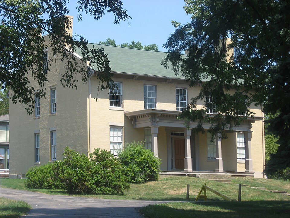
| November 2017 | Tornado (EF1) | Wooster | $75,000 | An EF1 tornado touched down at the Secrest Arboretum on the south side of Wooster. The tornado tore half the roof off of the Frederick Rice historical home with debris thrown north-northwest through southeast. East of the home, trees were snapped and uprooted in a convergent pattern. A couple greenhouses were also damaged. This tornado was on the ground for less than a quarter mile and was no more than 50 yards in width. |
| April 2001 | Hail | Wooster | $75,000 | Golf ball size hail was reported. Many cars were damaged. |
| June 2006 | Lightning | Wooster | $50,000 | A house was struck by lightning causing significant damage. |
| April 2001 | Hail | Wooster | $50,000 | Walnut size hail was reported. A few cars were damaged. |
| August 1998 | Lightning | Wooster | $50,000 | Lightning struck a two story barn starting a fire that destroyed the barn and six thousand to eight thousand bales of hay and straw stored there. |
| July 2001 | Thunderstorm Wind | Wooster | $35,000 | Thunderstorm winds downed 15 to 20 trees along Beall Avenue near University Street. At least one car was damaged by a fallen tree. |
| November 2002 | Thunderstorm Wind | Wooster | $30,000 | Thunderstorm winds downed many trees and large limbs in the Wooster and Smithville areas. |
| August 2024 | Flash Flood | Wooster | $25,000 | Christmas Run flooded out of its banks at Wayne County Fairgrounds in Wooster, flooding portions of West Old Lincoln Way and much of the fairgrounds. Several barns were flooded with one water rescue of a person trapped in a camper. |
| July 2017 | Thunderstorm Wind | Wooster | $25,000 | Thunderstorm winds downed several trees across the central and southern portions of Wooster. |
| July 2006 | Thunderstorm Wind | Wooster | $25,000 | Thunderstorm winds were estimated by a trained spotter to be 60 mph. Numerous trees and large limbs were reported down throughout Wooster. |
| April 2001 | Hail | Wooster | $25,000 | Quarter size hail was reported two miles southeast of Wooster. A few cars were damaged. |
| June 2013 | Thunderstorm Wind | Wooster | $15,000 | Thunderstorm winds downed several trees. |
| December 2013 | Thunderstorm Wind | Wooster | $15,000 | Thunderstorm winds downed a lot of trees across Wayne County. |
| August 2009 | Thunderstorm Wind | Wooster | $15,000 | Trees were reported down across the city and just west of Wooster. |
| November 2002 | Thunderstorm Wind | Wooster | $15,000 | Thunderstorm winds downed several trees near Wooster. |
| April 2001 | Hail | Wooster | $15,000 | Quarter size hail was reported on the north side of Wooster. A few cars were damaged. |
| November 1998 | Thunderstorm Wind | Wooster | $15,000 | Trees and power lines were downed and windows blown out on some buildings. |
| May 2007 | Hail | Wooster | $10,000 | Quarter size hail was observed. |
| June 2006 | Thunderstorm Wind | Wooster | $10,000 | Numerous trees and large limbs were reported down. |
| July 2005 | Thunderstorm Wind | Wooster | $10,000 | Several large trees along with power lines were reported down. |
| June 2005 | Thunderstorm Wind | Wooster | $10,000 | Several trees downed due to thunderstorm winds. |
| June 2005 | Thunderstorm Wind | Wooster | $10,000 | Several trees were reported down. |
| June 2002 | Hail | Wooster | $10,000 | Quarter size hail was observed five miles north of Wooster. |
| June 2002 | Hail | Wooster | $10,000 | Quarter size hail was observed seven miles north of Wooster. |
| April 2001 | Hail | Wooster | $10,000 | Quarter size hail was reported five miles east of Wooster. A few cars were damaged. |
| September 1999 | Thunderstorm Wind | Wooster | $10,000 | A large tree and several power poles were downed. |
| October 1999 | Thunderstorm Wind | Wooster | $10,000 | Two large trees were blown down on the south side of Wooster. One of the trees landed on a house and caused minor roof damage. |
| November 2017 | Thunderstorm Wind | Wooster | $7,000 | Thunderstorm winds downed several trees southwest of Wooster. |
| June 2008 | Thunderstorm Wind | Wooster | $6,000 | Several large trees and large limbs were reported down. |
| April 2023 | Thunderstorm Wind | Wooster | $5,000 | Trees downed in Wooster, one of which caused minor damage to a garage. |
| September 2018 | Thunderstorm Wind | Wooster | $5,000 | Thunderstorm winds downed several trees west of Wooster. |
| June 2011 | Thunderstorm Wind | Wooster | $5,000 | Thunderstorm winds downed several large tree branches in a few locations around the area. |
| June 2010 | Thunderstorm Wind | Wooster | $5,000 | Thunderstorm winds downed a few trees north of Wooster. |
| June 2009 | Thunderstorm Wind | Wooster | $5,000 | Several trees were reported down in the area. |
| June 2007 | Thunderstorm Wind | Wooster | $5,000 | A few large trees were reported down. Penny size hail was also observed. |
| May 2006 | Hail | Wooster | $5,000 | Quarter size hail was observed. |
| July 2003 | Thunderstorm Wind | Wooster | $5,000 | Thunderstorm winds downed two trees five miles north of Wooster. |
| April 2003 | Thunderstorm Wind | Wooster | $5,000 | Thunderstorm winds downed two large trees east of Wooster. |
| April 2002 | Hail | Wooster | $5,000 | Dime size hail was reported. |
| October 2001 | Thunderstorm Wind | Wooster | $5,000 | Thunderstorm winds downed three trees in and around Wooster. |
| August 1998 | Thunderstorm Wind | Wooster | $5,000 | Several trees were downed. |
| June 1998 | Thunderstorm Wind | Wooster | $5,000 | Trees and power lines were downed. |
| December 1996 | Thunderstorm Wind | Wooster | $5,000 | no account filed |
| May 2004 | Thunderstorm Wind | Wooster | $4,000 | Thunderstorm winds downed several large tree limbs. |
| May 2008 | Thunderstorm Wind | Wooster | $3,000 | Two trees were reported down. |
| June 2008 | Thunderstorm Wind | Wooster | $3,000 | Thunderstorm winds downed two trees. |
| June 1998 | Thunderstorm Wind | Wooster | $3,000 | Trees were downed in the southern part of the county. |
| July 2016 | Thunderstorm Wind | Wooster | $2,000 | A large oak trees was knocked down by thunderstorm wind gusts. |
| June 2005 | Thunderstorm Wind | Wooster | $2,000 | Numerous large limbs down along with power lines. |
| August 2003 | Thunderstorm Wind | Wooster | $2,000 | Thunderstorm winds downed a few large tree limbs. |
| June 1998 | Thunderstorm Wind | Wooster | $2,000 | Trees were downed. |
| June 1996 | Thunderstorm Wind | Wooster | $2,000 | no account filed |
| June 2013 | Hail | Wooster | $1,000 | A trained weather spotter reported quarter size hail in Wooster. |
 Block
Block