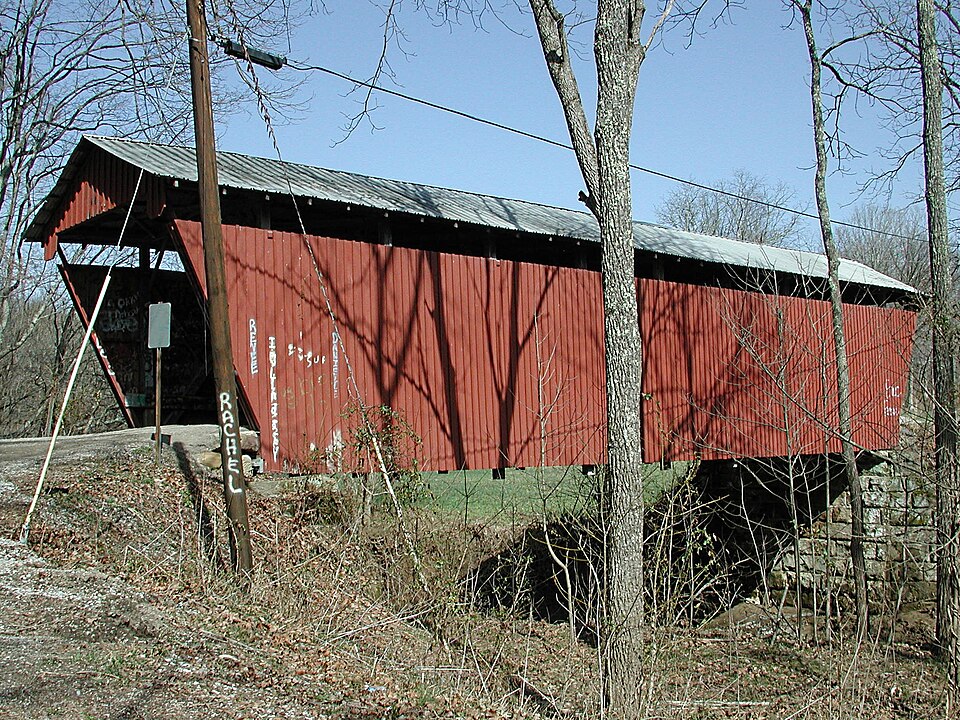
Built in 1881. Listed on the National Register of Historic Places in
1978. A historic map-sheet match is not published yet. The record needs a coordinate-quality review before it can be joined to a sheet boundary.
From the record
“The Blackwood Covered Bridge, over the Shade River near Athens, Ohio, was built in 1881. It was listed on the National Register of Historic Places in 1978.”
Wikipedia article Blackwood Covered Bridge, CC BY-SA 4.0.
one of 19 National Register listings in Athens County · listed in 1978 · category: Structure · built in 1881 · one of 1 National Historic Landmarks in Athens County.
National Register reference number.78002004- the number the National Park Service assigned this property when it was listed, and the key its nomination file is catalogued under at the National Archives.
Fires near this property
6 since 2007
Regional context, not property-specific
evidence. The
federal wildfire occurrence database
lists 6 fires within 5 miles of Blackwood Covered Bridge between
2007 and 2020, burning about 11 acres in total. None started naturally. None was recorded as arson.
Distance is straight-line from the map coordinates, so a fire counted
here may appear on a neighbouring settlement's page as well.
Reported cause
Fires
Debris and open burning
3
Misuse of fire by a minor
2
Equipment and vehicle use
1
The most recent of
them, most recent first, with the day each was reported and the service
that recorded it.
Regional context, not property-specific
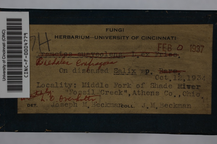
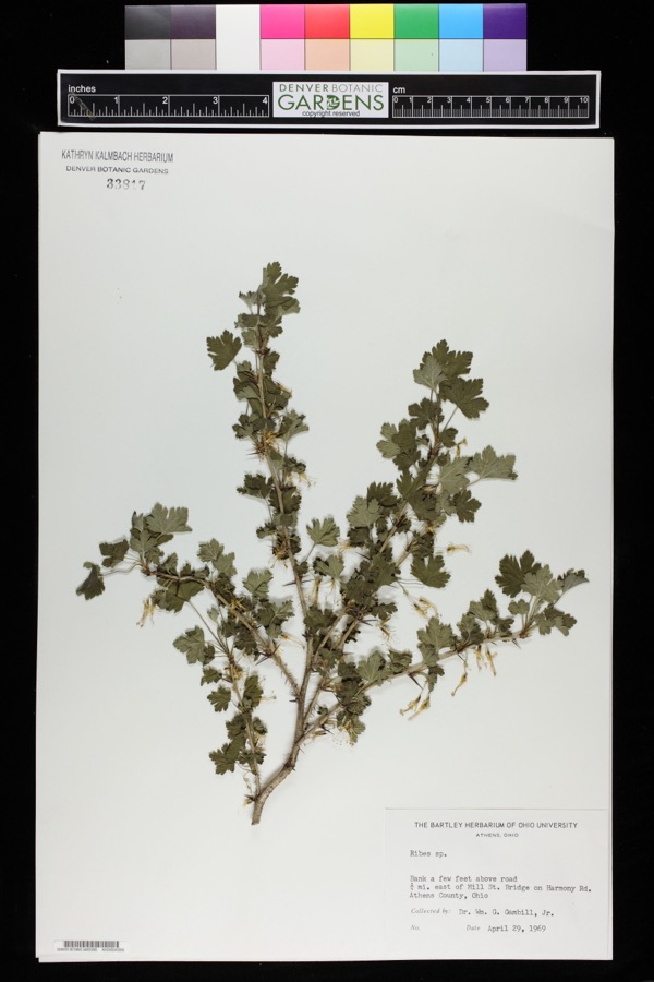
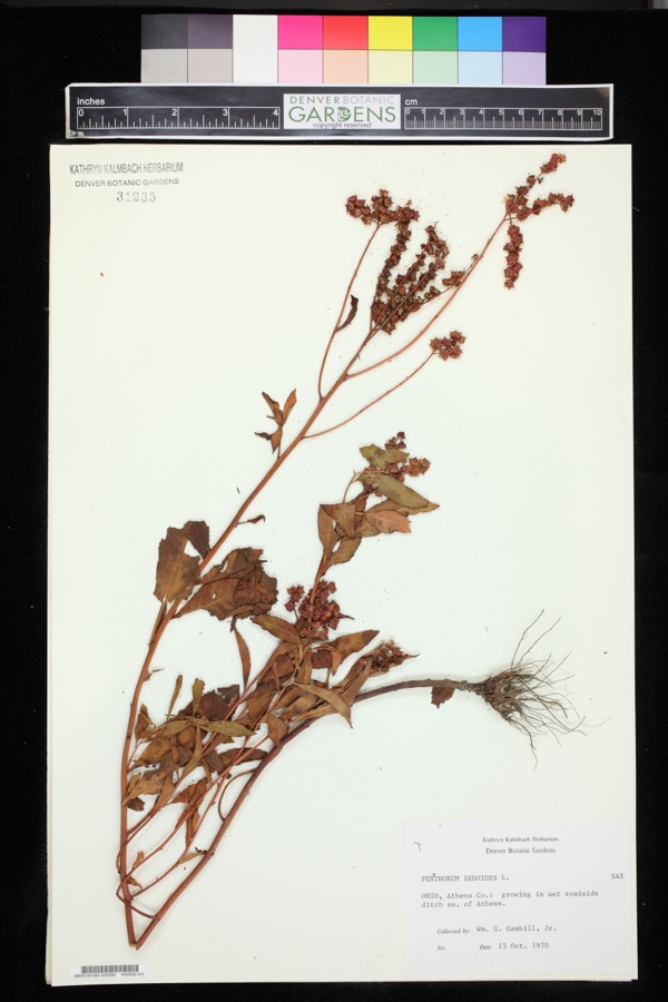
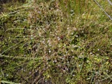
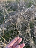
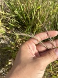
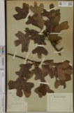
evidence. Museums hold 241 specimens
collected within 10 miles of Blackwood Covered Bridge between 1831 and
1974: 215 Animalia, 24 Plantae, 2 Fungi. 12 distinct Species records are shown.
Collected by A. C. Kinsey, Beckman, J.M., Braun, L. and others. Each is a
physical object with a catalogue
number, and each entry opens the museum's record. This is what was
collected and kept, not a survey of what lives here - nothing can be
concluded from a species being absent.
Regional context, not property-specific
evidence. The National Weather Service names
Athens, the town this property stands in, in 71 storm reports between 1994 and 2025: 41 thunderstorm wind, 21 hail, 3 flash flood, 2 lightning.
The reports record 8 injuries. Each account below is quoted exactly as the forecast office
filed it, from the NOAA Storm Events Database, and each date
opens the federal record of that event.
Thunderstorm wind gusts of 40 to 50 mph caused tree damage and collapsed a county fair tent. The tent collapsed during the swine judging, with as many as 400 people inside. Many of those caught in the tent, appeared stunned, but calm. Eight people received minor injuries. No animals were hurt. One witness said., " It was the best example I've seen of everyone working together." The nearby anemometer at the Scalia Lab on the Ohio University campus reported a wind gust of 41 mph. In a related incident, an indirect death occurred while a 74 old man lost control of his tractor and it overturned. He was trying to take shelter from the midday storm. He was 60 feet from his residence on Hooper Ridge Road, near Amesville.
Numerous large trees and branches were blown down in the city. The Emergency Management Agency reported 2 houses were severely damaged by fallen trees. Trees also fell across roads, sidewalks, driveways, and yards. Electrical power was lost.
An EF1 tornado with maximum winds up to 100 mph touched down near Angel Ridge Road in Athens County. The tornado tracked east-northeast crossing Gura Road, Long Run Road, and North Coolville Ridge Road before lifting just past Kincade Road. Damage was limited to snapped and uprooted trees and some snapped power poles along the path, with the worst damage occurring in a 300 yard wide swath along Long Run Road. This is the seventh documented tornado in Athens County and the first since 2018.
Numerous trees were downed throughout the city of Athens. The Athens County airport reported a wind gust of 58 miles per hour around the time these trees were downed.
The Hocking River at Athens rose out of its 20 foot flood stage late in the afternoon on February 19th. The river remained above its flood stage for only a brief period of time and was back in its banks that evening. Low lying areas around the river and the nearby campground observed minor flooding between Athens and Coolville while the Hocking River was out of its banks.
The Hocking River at Athens exceeded its flood stage of 20 feet early in the morning of April 5th, then continued to rise to a crest of around 20.8 feet the next morning. The river slowly fell back below flood stage early in the morning on the 7th. Low areas, the campground, and private camps along the river between Athens and Coolville began to flood during the time the river was out of its banks. Low sections of Harmony Road and baseball fields in Nelsonville also flooded.
Flooding was observed on Strouds Road, State Route 690, and State Route 550 between State Routes 690 and 329. A van was stranded in flood water at Sand Rock Road in Amesville. Another vehicle became stranded on State Route 690.
No historic map-sheet match is published
for this property yet. That does not mean no map exists. This record needs
a coordinate-quality review before it can be joined to a sheet boundary.
Browse the county's mapped places while that work is
pending.
From the nomination file
1,662 words on record
When this property was proposed for the
National Register, someone wrote the case for it: what the building is,
and why it matters. That document is a federal record in the public domain.
It is quoted below word for word, never summarised. The text was read off the scanned case file by machine, so the
occasional stray character is the recogniser's and the 1970s
typewriter's.
Description of the property
one rod is on the inside of the bridge and the other is on the outside. These is 16'6". The bridge has a single layer floor, laid transversely. In the spring CONDITION UNEXPOSED EXCELLENT UNALTERED XALTERED The structure under consideration is a one-span wooden truss covered bridge spanning pression members and the verticals or kingposts, are in tension.A single king- and employs the triangular form in which the diagonals of the truss are the com- roof, projected portals, and cut-stone abutments.
average carpenter/bridge builder to erect.Many' different truss designs evelved of 1975,a support of galvanized steel piling and galvanized structural steel was from the multiple kingpost, but this simple design remained the great favorite of the most commonly-used wooden bridge truss here in early Ohio. It was easy for the the middle branch of the Shade River on County road 46 in Lodi Township section l, The Blackwood Bridge is painted a bright red with a pale green metal roof.It 6x 6with some slight variations.There are 4 steel rods on the first truss CHECK ONE placed under the center of the bridge.
- DETERIORATED steel rods were added to the trusses in1905.The overall length of the span is 2miles east northeast of Pratt's Fork and 10 miles southeast of Athens, Athens XGOOD vertical,2on the inside of the bridge and 2on the outside.There are 2 steel County, Ohio. This old covered span has vertical, high-boarded siding, a metal LRUINS DATE post truss was used for very short spans and the natural outgrowth of this was to still sets on its original cut-stone abutments, but the main load of the bridge rods on the third truss vertical and two on the center kingpost, and in each case, use several kingposts or multiple kingposts, for longer spans.
1500-1599 1600-1699 Historical ARCHEOLOGY-HISTORIC BUILDER/ARCHITECT CONSERVATION ARCHEOLOGY-PREHISTORIC ECONOMICS PERIOD ARCHITECTURE SCIENCE MILITARY SIGNIFICANCE LITERATURE AGRICULTURE SCULPTURE _COMMUNICATIONS _POLITICS/GOVERNMENT _1700-1799 crosses the middle branch of the Shade River in a very lovely valley setting two MUSIC The hillsides rising above the covered bridge show beautiful stone outcroppings pastoral scene.Deer tracks abound on the road leading into the bridge,proof _EXPLORATION/SETTLEMENT very quiet and lonely.
1900- bridge with its red siding and light green roof fits right into this lovely who owned much land in Lodi Township.Harvey and William Blackwood owmed much of William Blackwood as one of the prominent farmers of Lodi Township who owned 340 still all agricultural as it was when the bridge was built and there are fewer; and one-half miles east of busy Us 33 and ten miles southeast of Athens,Ohio. X_ENGINEERING a school near the crossing, but no mill or community that would have justified a the creek at this site, but the l875 Atlas of Athens County shows a few homes and _EDUCATION -SOCIAL/HUMANITARIAN XTRANSPORTATION The Blackwood Covered Bridge is another of Ohio's more remote covered spans.It -PHILOSOPHY _THEATER - RELIGION of the peacefulness of this area.
Recent repairs should keep this fine old LAW 1881 INDUSTRY acres of land there.We do not know if this is the only bridge ever built over The Blackwood Covered Bridge takes its name from the prominent Blackwood Family INVENTION 9
Quoted from the National Register nomination
for reference 78002004, 11 pages, held by the National Archives in Record
Group 79. See the
catalogue record.
Listed places nearby
1 within 8 miles
Other National Register properties close
enough to walk or drive between, ordered by distance from this one. Both
positions come from the same geocoding pass that matched these properties
to their map sheets.
Listing record. National Park Service National Register of Historic Places, listed-properties dataset, current to 2026-05-22.
Map join. Address geocoded through the United States Census geocoder, then tested against the published boundary of every sheet in the USGS Historical Topographic Map Collection.
How this page is made. Listing fields come from federal records; map-sheet coverage is a labelled coordinate-to-boundary calculation, not a source-field claim.
Wildfire. Short, Karen C. 2022. Spatial wildfire occurrence data for the United States, 1992-2020 [FPA_FOD_20221014]. 6th Edition. Fort Collins, CO: Forest Service Research Data Archive. https://doi.org/10.2737/RDS-2013-0009.6 Collected with United States Government funding and usable without additional permissions or fees.
Specimens. Global Biodiversity Information Facility (GBIF), https://www.gbif.org/. Only records licensed CC0 or CC BY are used. Records licensed CC BY-NC are excluded because this site carries advertising. Images are checked individually and any whose licence is non-commercial, no-derivatives or unreadable is refused.
Storms. NOAA National Centers for Environmental Information, Storm Events Database https://www.ncei.noaa.gov/stormevents/ A work of the United States government, no copyright under 17 U.S.C. 105. Narratives are quoted verbatim from the National Weather Service report and are not edited or summarised.
 Block
Block