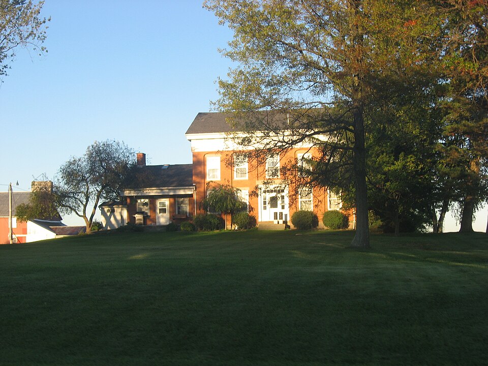
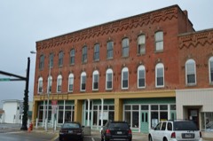
Listed on the National Register of Historic Places in
1978. A historic map-sheet match is not published yet. The record needs a coordinate-quality review before it can be joined to a sheet boundary.
From the record
“Although the forest abounded in game, the Indians, it is supposed, did not come here with the intention of following the hunt, but the locality was a favorite one for maple sugar making, and they frequently pursued this calling, the nearest approach to anything like an active, industrial occupation that ever received their attention. The Indians had temporary camping places in various parts of what is now Greenwich, where they resorted in the spring and remained until the flow of sap, in the sugar maples, had ceased.”
History of Huron County Ohio Its Progress and Development (1909). Machine-read text.
one of 15 National Register listings in Huron County · listed in 1978 · category: Building.
National Register reference number.78002089- the number the National Park Service assigned this property when it was listed, and the key its nomination file is catalogued under at the National Archives.
Greenwich was attached, in 1815, to New Haven, or was within the jurisdiction of that township (for civil purposes). In 1819, Greenwich, Fitchville and Hartland were united, and an election was held in that year, at the house of Thomas B. White, for the purpose of choosing officers for the territory included within the three. Hartland was detached in 1820, and in 1823, Greenwich was separated from Fitchville and organized as a separate township, the first election being held at Thomas B. White's house, and the following officers elected: Jeremiah Rusco, Henry Washburne, trustees; David W. Briggs, clerk; Varney Pearce, justice of the peace; Ephraim F. Barker, constable.
For a number of vears after the first settlers came into Greenwich, there was no regularly ordained minister living in the township, and when there was preaching, it was by some of the ministers from neighboring townships. Religious meetings were held frequently, and preachers of all denominations had assurance when they came here that they would be met by audiences of large size (for these times) and gladly listened to. The township had a large element of Quaker population, and many of its earliest pioneers were of this people. The first Quakers, or Friends, came to Greenwich in 1818, just eighteen years after the first Friends' settlement in Ohio.
Regional context, not property-specific
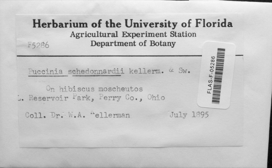
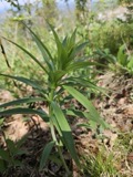
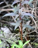
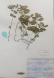
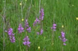
evidence. Museums hold 184 specimens
collected within 10 miles of Mead-Zimmerman House between 1895 and
1974: 95 Plantae, 53 Animalia, 36 Fungi. 12 distinct Species records are shown.
Collected by C. E. Jennings, Collector(s): M. Martin, D. R. Sumstine and others. Each is a
physical object with a catalogue
number, and each entry opens the museum's record. This is what was
collected and kept, not a survey of what lives here - nothing can be
concluded from a species being absent.
Regional context, not property-specific
evidence. The federal mineral resources record lists
1 working within 5 miles of Mead-Zimmerman House: 1 producer.
All of them still produce. What was taken out: Sand and Gravel, Construction. Distance is straight-line from the
map coordinates, so a quarry counted here may appear on a neighbouring
settlement's page as well.
Regional context, not property-specific
evidence. The National Weather Service names
Greenwich, the town this property stands in, in 18 storm reports between 1998 and 2026: 10 hail, 6 thunderstorm wind, 2 flash flood.
No death or injury is recorded in these reports. Each account below is quoted exactly as the forecast office
filed it, from the NOAA Storm Events Database, and each date
opens the federal record of that event.
Pictures and a video of 6 to 12 inches of flowing water over Alpha Road near Greenwich, OH due to a stream/ditch overflowing its banks. Radar estimated 2 to 2.5 inches of rainfall in a 2 to 3 hour period.
No historic map-sheet match is published
for this property yet. That does not mean no map exists. This record needs
a coordinate-quality review before it can be joined to a sheet boundary.
Browse the county's mapped places while that work is
pending.
From the nomination file
1,376 words on record
When this property was proposed for the
National Register, someone wrote the case for it: what the building is,
and why it matters. That document is a federal record in the public domain.
It is quoted below word for word, never summarised. The text was read off the scanned case file by machine, so the
occasional stray character is the recogniser's and the 1970s
typewriter's.
Description of the property
remaining bays have identical windows on each floor. Above a plain and metope which continues the detail of the main house, though it is smaller two. The garage, pantry, and "doghouse" are covered with aluminum siding. woodwork which are said to be copied from Asher Benjamin's Practical House extends to the attic. CONDITION UNEXPOSED MOVED centered. DATE DETERIORATED UNALTERED FAIR CHECK ONE architrave is a classic Greek Doric frieze with triglyph and metope.The -GOOD The two-story brick farmhouse is rectangular in plan and rests on a stone frames the entrance. A wide stone separated the first and second stories of A third chimney (not original) is to the rear of the ridgeline and is The frieze does not continue along the gable ends. There is an oval altered except for the gable window.
The south end has a 1-1/2 story east face of the kitchen section has a center door which is flanked by 6/6 windows in the gable and a 6/6 light window in the lower left. There is a shed roofed porch on the east and a small one-story "doghouse" placed at in scale. A one-story woodshed (now a garage) is placed at right angles door has been enclosed by a small gable roofed sunroom. Within the house are four fireplaces with Greek revival style mantels and features of the house include a wide center hallway and open stairway which RUINS cornice is plain.There are interior end chimneys in front of the ridgeline.
Statement of significance
The Mead-Zimmerman House is a unique and relatively unspoiled Ohio The facade seems heavy, despite the classic_revival frieze, because of the heavy stone over the door and wide lintels squeezed spirited, if unorthodox, borrowing from various builder's guides The original deed shows that Cyrus Mead was the builder of the house. The 1850 census shows that Mead was a farmer and had substanial 1600-1699 1500-1599 1700-1799 vintage. ART ECONOMICS EDUCATION COMMERCE PERIOD AGRICULTURE BUILDER/ARCHITECT INVENTION INDUSTRY LITERATURE MILITARY _POLITICS/GOVERNMENT _EXPLORATION/SETTLEMENT ARCHEOLOGY-PREHISTORIC _CONSERVATION _ENGINEERING _PHILOSOPHY _RELIGION _TRANSPORTATION _1400-1499 rural Ohio builders. _SCULPTURE _THEATER _1900- - MUSIC the arches.
The unrefined use of various revival elements shows even for Ohio. The interior features are more delicate but equally the property are a large barn and two small outbuildings of 1950's LAW farmhouse.The bold facade utilizes an interesting arcade effect. eclectic.In short the house shows the spirit and originality of land holdings.Research has found no other information..Also on
Quoted from the National Register nomination
for reference 78002089, 10 pages, held by the National Archives in Record
Group 79. See the
catalogue record.
Listed places nearby
1 within 8 miles
Other National Register properties close
enough to walk or drive between, ordered by distance from this one. Both
positions come from the same geocoding pass that matched these properties
to their map sheets.
Listing record. National Park Service National Register of Historic Places, listed-properties dataset, current to 2026-05-22.
Map join. Address geocoded through the United States Census geocoder, then tested against the published boundary of every sheet in the USGS Historical Topographic Map Collection.
How this page is made. Listing fields come from federal records; map-sheet coverage is a labelled coordinate-to-boundary calculation, not a source-field claim.
Specimens. Global Biodiversity Information Facility (GBIF), https://www.gbif.org/. Only records licensed CC0 or CC BY are used. Records licensed CC BY-NC are excluded because this site carries advertising. Images are checked individually and any whose licence is non-commercial, no-derivatives or unreadable is refused.
Mines and quarries. USGS Mineral Resources Data System (MRDS) https://mrdata.usgs.gov/mrds/ A work of the United States government, no copyright under 17 U.S.C. 105.
Storms. NOAA National Centers for Environmental Information, Storm Events Database https://www.ncei.noaa.gov/stormevents/ A work of the United States government, no copyright under 17 U.S.C. 105. Narratives are quoted verbatim from the National Weather Service report and are not edited or summarised.
 Block
Block