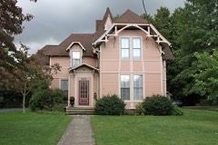
Listed on the National Register of Historic Places in
1978. A historic map-sheet match is not published yet. The record needs a coordinate-quality review before it can be joined to a sheet boundary.
From the record
one of 75 National Register listings in Lake County · listed in 1978 · category: Building · one of 2 National Historic Landmarks in Lake County.
National Register reference number.78002091- the number the National Park Service assigned this property when it was listed, and the key its nomination file is catalogued under at the National Archives.
Fires near this property
1 since 2002
Regional context, not property-specific
evidence. The
federal wildfire occurrence database
lists 1 fire within 5 miles of Ladd's Tavern between
2002 and 2002, burning about 20 acres in total. None started naturally. None was recorded as arson.
Distance is straight-line from the map coordinates, so a fire counted
here may appear on a neighbouring settlement's page as well.
Reported cause
Fires
Missing data/not specified/undetermined
1
The most recent of
them, most recent first, with the day each was reported and the service
that recorded it.
Regional context, not property-specific
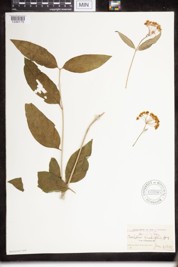
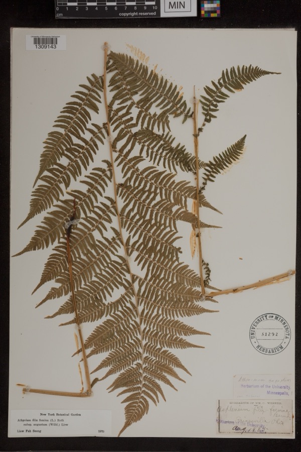
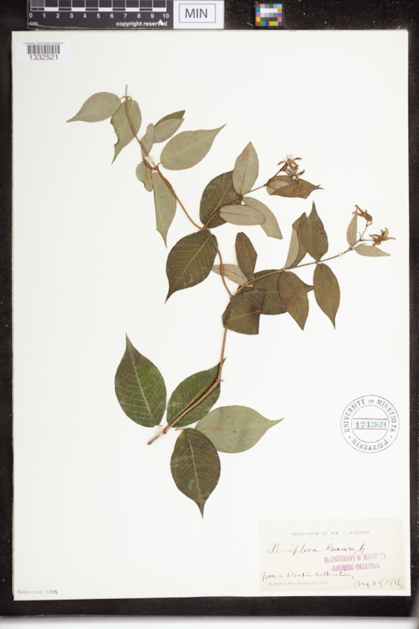
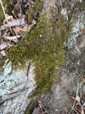
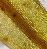
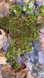
evidence. Museums hold 868 specimens
collected within 10 miles of Ladd's Tavern between 1864 and
1975: 593 Animalia, 162 Plantae, 95 Fungi, 10 Chromista, 6 Protozoa, 2 Unrecorded. 12 distinct Species records are shown.
Collected by A. Doolittle, A. F. Clewell, A. Woolman and others. Each is a
physical object with a catalogue
number, and each entry opens the museum's record. This is what was
collected and kept, not a survey of what lives here - nothing can be
concluded from a species being absent.
Regional context, not property-specific
evidence. The National Weather Service names
Madison, the town this property stands in, in 29 storm reports between 1996 and 2024: 15 thunderstorm wind, 12 hail, 1 waterspout, 1 flash flood.
No death or injury is recorded in these reports. Each account below is quoted exactly as the forecast office
filed it, from the NOAA Storm Events Database, and each date
opens the federal record of that event.
Several dozens trees downed. Seven homes suffered minor roof and structural damage from fallen trees. An additional home suffered major structural damage when a twelve ton tree fell on the roof of an upstairs bedroom. The roof over the bedroom was destroyed and one of the exterior walls was split by the tree. The split in the wall allowed heavy thunderstorms rains to spill into the ground level of the house causing significant water damage. The remaining walls of the home were bowed by the weight of the tree. Two barns and seven cars were also damaged by fallen trees.
Reports of widespread road flooding in North Madison and Madison in eastern Lake County, with some roads closed due to flowing water. Radar estimated 1.5 to 2.5 inches of rainfall in a 60-75 minute period.
No historic map-sheet match is published
for this property yet. That does not mean no map exists. This record needs
a coordinate-quality review before it can be joined to a sheet boundary.
Browse the county's mapped places while that work is
pending.
From the nomination file
24,438 words on record
When this property was proposed for the
National Register, someone wrote the case for it: what the building is,
and why it matters. That document is a federal record in the public domain.
It is quoted below word for word, never summarised. The text was read off the scanned case file by machine, so the
occasional stray character is the recogniser's and the 1970s
typewriter's.
Description of the property
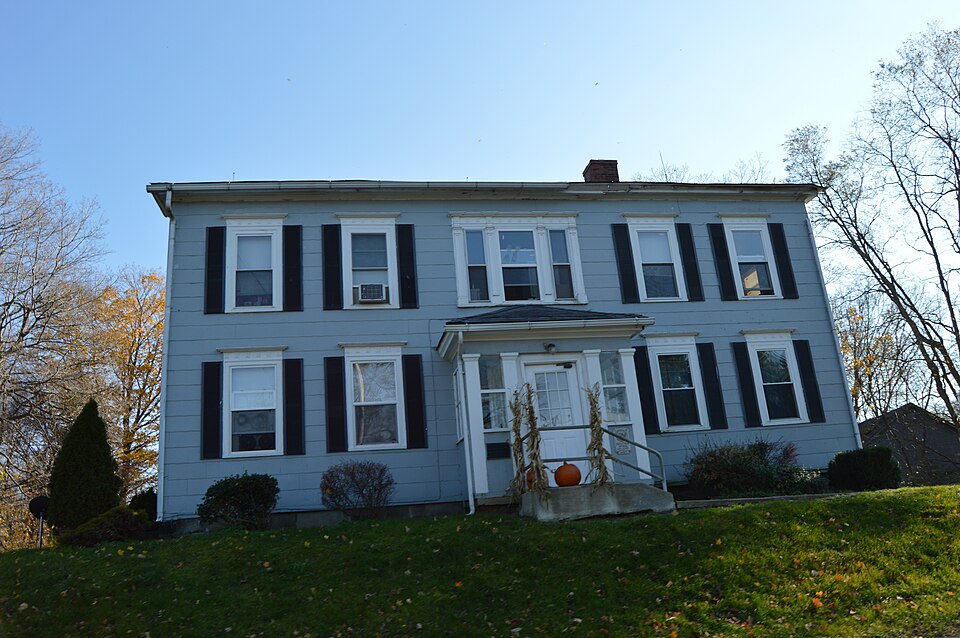
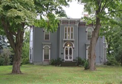
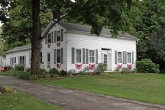
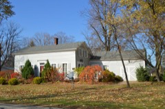
enclosed entrance porch, classically inspired with square pilaster-like be original with the house, extending from the south side of the tavern. The building is currently used as 4 apartments, though there is surprisingly CONDITION UNEXPOSED EXCELLENT RUINS XALTERED and metopes.Remaining facade windows have similar cornices.The clapboard CHECK ONE siding has been covered with asbestos siding.Originally there was a large The taproom retains evidence of the bar.Some original woodwork is retained in reeded panels with rosettes in corner blocks and molded chair rails.Original The 2-l/2 story rectangular frame structure has a five bay facade which faces little alteration to the room arrangements.Some rooms have been closed off of center.The wide cornice has returns at the gable ends.
but the door are intact.Windows have been changed to 2/2 lights.Porches louvered coverings.The east end has the original exterior tavern door at the ground floor rooms.The center front stairs are original. supports.Over the entrance on the second floor is a 3 part window.The The tavern is3 bays deep.Windows have plain surrounds.Gable windows have have been added to either side of the rear ell. - UNALTERED -GOOD X.FAIR portions are separated by reeded pilasters. The cornice has delicate triglytph DATE north.The original Federal style center entrance is now covered by an center chimney serving eight fireplaces.Anew chimney sits to the right AREAS OF
Statement of significance
acres, cleared the land and began farming. In the fall of 1812 Ladd began After Ladd's death the property was purchased in 1830 by Elisha Wood, a continue the use of the house as a tavern, but maintained business interests on the property in the form of a brick kiln, saw mill, and wool 1812 ECONOMICS INVENTION ARCHEOLOGY-HISTORIC EDUCATION BUILDER/ARCHITECT ARCHITECTURE ARCHEOLOGY-PREHISTORIC LAW PERIOD THEATER SCULPTURE AGRICULTURE PREHISTORIC SCIENCE POLITICS/GOVERNMENT SIGNIFICANCE MILITARY X1800-1899 XEXPLORATION/SETTLEMENT LITERATURE been an important east-west road and along this ridge the first settlers carding factory.
as an early tavern housing western-bound settlers.It is an important The tavern is important historically as the home of two early settlers and _TRANSPORTATION this building and congregational services were first held there in l819. _CONSERVATION -COMMUNICATIONS tavern to serve the large emigration westward.The first store was in native of Massachusetts who had come to Madison in 1822.Wood did not MUSIC Jesse Ladd arrived in Madison in 18l2 from Massachusetts.He acquired 1000 -1400-1499 _PHILOSOPHY the builder.Completed in 18l3 it was the main house on the farm and a -1700-1799 -1600-1699 -1500-1599 A ridge of high land runs parallel tothe lake.Along this there has long have located. - INDUSTRY -RELIGION - COMMERCE Ladd kept the tavern until his death in1829. -1900- to have the tavern built.
Addison Kimball, a noted local architect, was local landmark. The northern portion of Lake County is fertile farmland.
Quoted from the National Register nomination
for reference 78002091, 74 pages, held by the National Archives in Record
Group 79. See the
catalogue record.
Listed places nearby
6 within 8 miles
Other National Register properties close
enough to walk or drive between, ordered by distance from this one. Both
positions come from the same geocoding pass that matched these properties
to their map sheets.
Listing record. National Park Service National Register of Historic Places, listed-properties dataset, current to 2026-05-22.
Map join. Address geocoded through the United States Census geocoder, then tested against the published boundary of every sheet in the USGS Historical Topographic Map Collection.
How this page is made. Listing fields come from federal records; map-sheet coverage is a labelled coordinate-to-boundary calculation, not a source-field claim.
Wildfire. Short, Karen C. 2022. Spatial wildfire occurrence data for the United States, 1992-2020 [FPA_FOD_20221014]. 6th Edition. Fort Collins, CO: Forest Service Research Data Archive. https://doi.org/10.2737/RDS-2013-0009.6 Collected with United States Government funding and usable without additional permissions or fees.
Specimens. Global Biodiversity Information Facility (GBIF), https://www.gbif.org/. Only records licensed CC0 or CC BY are used. Records licensed CC BY-NC are excluded because this site carries advertising. Images are checked individually and any whose licence is non-commercial, no-derivatives or unreadable is refused.
Storms. NOAA National Centers for Environmental Information, Storm Events Database https://www.ncei.noaa.gov/stormevents/ A work of the United States government, no copyright under 17 U.S.C. 105. Narratives are quoted verbatim from the National Weather Service report and are not edited or summarised.
 Block
Block