Listed on the National Register of Historic Places in
1978. A historic map-sheet match is not published yet. The record needs a coordinate-quality review before it can be joined to a sheet boundary.
From the record
one of 65 National Register listings in Lucas County · listed in 1978 · category: Building · one of 2 National Historic Landmarks in Lucas County.
National Register reference number.78002121- the number the National Park Service assigned this property when it was listed, and the key its nomination file is catalogued under at the National Archives.
Fires near this property
2 since 2002
Regional context, not property-specific
evidence. The
federal wildfire occurrence database
lists 2 fires within 5 miles of Griswold, Peck, House between
2002 and 2015, burning about 1 acres in total. None started naturally. None was recorded as arson.
Distance is straight-line from the map coordinates, so a fire counted
here may appear on a neighbouring settlement's page as well.
Reported cause
Fires
Smoking
1
Debris and open burning
1
The most recent of
them, most recent first, with the day each was reported and the service
that recorded it.
Regional context, not property-specific
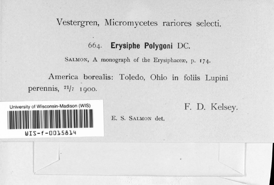
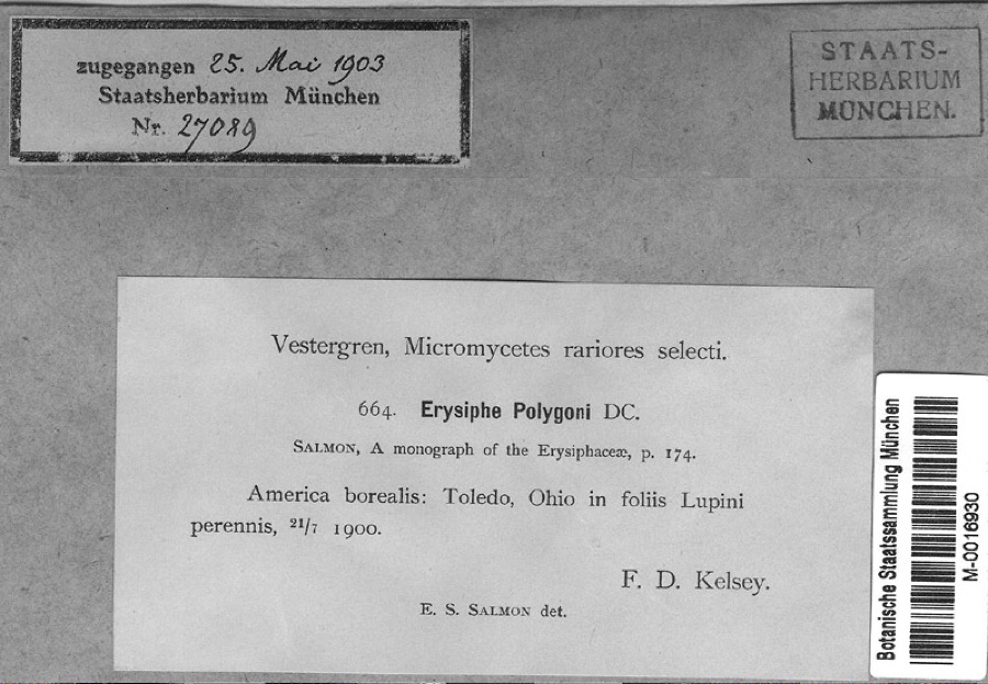
evidence. Museums hold 982 specimens
collected within 10 miles of Griswold, Peck, House between 1863 and
1975: 713 Animalia, 161 Fungi, 98 Plantae, 6 Chromista, 2 Unrecorded, 2 Protozoa. 12 distinct Species records are shown.
Collected by A. Lose, Aborn, R., Angle, E. (Eric) and others. Each is a
physical object with a catalogue
number, and each entry opens the museum's record. This is what was
collected and kept, not a survey of what lives here - nothing can be
concluded from a species being absent.
Regional context, not property-specific
evidence. The federal mineral resources record lists
4 workings within 5 miles of Griswold, Peck, House: 2 past producers, 2 plants.
2 still produce. What was taken out: Limestone, General, Stone, Crushed/Broken. Distance is straight-line from the
map coordinates, so a quarry counted here may appear on a neighbouring
settlement's page as well.
Regional context, not property-specific
evidence. The National Weather Service names
Maumee, the town this property stands in, in 49 storm reports between 1997 and 2023: 26 hail, 19 thunderstorm wind, 2 flash flood, 1 heavy rain.
No death or injury is recorded in these reports. Each account below is quoted exactly as the forecast office
filed it, from the NOAA Storm Events Database, and each date
opens the federal record of that event.
Very heavy rainfall started across Lucas County around 7:30 pm, with the heaviest rain falling between 8 pm and 9 pm, and then again between 12:30 am and 1:30 am. Rainfall totals in the area included 5.00 inches at the intersection of I-475 and US 23, 4.31 inches in Sylvania, 3.70 inches at the Toledo airport, and 3.39 inches in Point Place. Widespread flooding resulted, with many cars stranded citywide in underpasses and along flooded streets. Flooding occurred in neighborhoods along several area drainages, including Shantee Creek, Swan Creek, and Heldman Ditch. Over 100 basements were flooded from the excess runoff, and the Oregon municipal building was completely surrounded by water.
On March 12th an ice jam formed on the Maumee River in Maumee Ohio. The river was frozen from Maumee to the mouth of the river at Lake Erie. The ice jam and subsequent water rises caused the Side Cut Metropark to close and experience record flooding. The road between Jerome Road and an access road east of Riverside Cemetery was damaged by the moving ice and needed repairs. In Maumee the Side Cut Metropark sustained around $50,000 in damages. The Riverside Cemetery is estimated to have sustained $1 million in damages. In Monclova the ice jams damaged two homes on North River Road. These homes sustained damage from the ice to their decks and exterior. Only one of the two homes had water inundation into the interior. The waste water treatment plant was impacted by the ice and rising river levels and had to bring in pumps to keep operations going.
Heavy rainfall caused extensive flooding of roadways in the Toledo metro area. Some flooded locations included Secor Road near Sylvania Avenue and also south of Central Avenue, and portions of Interstate 475. Multiple reports of cars being stranded due to driving into flooded roadways. Lower level apartment flooding was also reported in South Toledo. Radar estimates and measured rainfall reports indicated 2.25 to 3 inches of rain fell, primarily in a two hour period.
No historic map-sheet match is published
for this property yet. That does not mean no map exists. This record needs
a coordinate-quality review before it can be joined to a sheet boundary.
Browse the county's mapped places while that work is
pending.
From the nomination file
1,346 words on record
When this property was proposed for the
National Register, someone wrote the case for it: what the building is,
and why it matters. That document is a federal record in the public domain.
It is quoted below word for word, never summarised. The text was read off the scanned case file by machine, so the
occasional stray character is the recogniser's and the 1970s
typewriter's.
Description of the property
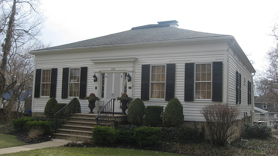
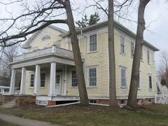
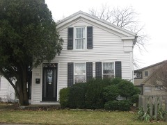
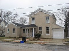
The Greek frontispiece, with sidelights and tabernacle enforcement, is flanked by 2 pair of symmetrical windows, creating a four-bay front facade. Owner John Richards restored the dining room fireplace, mantels in the Living and dining rooms, and bedroom wardrobes in the early 1940's. CONDITION UNEXPOSED UNALTERED FAIR but it has been removed. At the end of the center hall,is the dining area with a small fireplace.Two narrow stair leads to the single large room on the second floor.Its ceiling, bedrooms are located to the right of the center hall with a bath between.A piece positioned on the east wall.The kitchen is behind the living room.
Greek Revival period.One story in height and essentially square in plan, it is The main door and sidelights appear to be original.Wide fasciae surround the home below the roof soffit. over the main door --pilasters were also added, flanking the sidelights. which supports hand-hewn beams.It would appear to be a construction of the CHECK ONE X.EXCELLENT The frontispiece was modified in 194l-43,when an entablature was added sheltered by a capped hip roof with center chimney.The foundation is of stone, -DETERIORATED -GOOD RUINS following the configuration of the hip roof is supported by four symmetrically arranged, hand adzed 5" X 5" posts, with knees.
In the early 1900's, a wide porch extended across the front of the house, DATE The Peck Griswold House is of a comparatively unusual design for the is unusually large for so small a residence -- its focal point is a plain mantel- Interior:One enters a spacious center hall; the living room at its left AREAS OF
Statement of significance
in this area, and is therefore significant to Northwest Ohio in terms of its Historically, the home was the residence of Peck Griswold, who operated one 1800-1899 1500-1599 1600-1699 1700-1799 INVENTION ECONOMICS CONSERVATION BUILDER/ARCHITECT ARCHEOLOGY-HISTORIC RELIGION PERIOD SCIENCE THEATER POLITICS/GOVERNMENT AGRICULTURE SIGNIFICANCE LITERATURE INDUSTRY MILITARY but this fact has not been uncovered or substantiated. SCULPTURE one of the Toledo area's most prominent architects.The home has been well _COMMUNICATIONS _EXPLORATION/SETTLEMENT _TRANSPORTATION of Maumee's most complete general stores.
_ENGINEERING _EDUCATION _PHILOSOPHY _1400-1499 In the 19lo's and 5o's this structure was the residence of John N.Richards, _1900- -MUSIC -COMMUNITY PLANNING * ARCHITECTURE LAW ARCHEOLOGY-PREHISTORIC The Griswold House represents an uncommon variation of the Greek Revival style architecture.The possibility exists that the house was built by Jonathan Goldsmith, maintained over the years, and was restored by Mr.Richards in the l9lo's.
Quoted from the National Register nomination
for reference 78002121, 8 pages, held by the National Archives in Record
Group 79. See the
catalogue record.
Listed places nearby
6 within 8 miles
Other National Register properties close
enough to walk or drive between, ordered by distance from this one. Both
positions come from the same geocoding pass that matched these properties
to their map sheets.
Listing record. National Park Service National Register of Historic Places, listed-properties dataset, current to 2026-05-22.
Map join. Address geocoded through the United States Census geocoder, then tested against the published boundary of every sheet in the USGS Historical Topographic Map Collection.
How this page is made. Listing fields come from federal records; map-sheet coverage is a labelled coordinate-to-boundary calculation, not a source-field claim.
Wildfire. Short, Karen C. 2022. Spatial wildfire occurrence data for the United States, 1992-2020 [FPA_FOD_20221014]. 6th Edition. Fort Collins, CO: Forest Service Research Data Archive. https://doi.org/10.2737/RDS-2013-0009.6 Collected with United States Government funding and usable without additional permissions or fees.
Specimens. Global Biodiversity Information Facility (GBIF), https://www.gbif.org/. Only records licensed CC0 or CC BY are used. Records licensed CC BY-NC are excluded because this site carries advertising. Images are checked individually and any whose licence is non-commercial, no-derivatives or unreadable is refused.
Mines and quarries. USGS Mineral Resources Data System (MRDS) https://mrdata.usgs.gov/mrds/ A work of the United States government, no copyright under 17 U.S.C. 105.
Storms. NOAA National Centers for Environmental Information, Storm Events Database https://www.ncei.noaa.gov/stormevents/ A work of the United States government, no copyright under 17 U.S.C. 105. Narratives are quoted verbatim from the National Weather Service report and are not edited or summarised.
 Block
Block