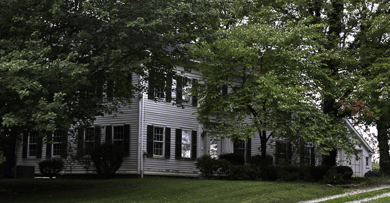
Listed on the National Register of Historic Places in
1978. A historic map-sheet match is not published yet. The record needs a coordinate-quality review before it can be joined to a sheet boundary.
From the record
one of 27 National Register listings in Medina County · listed in 1978 · category: Building.
National Register reference number.78002134- the number the National Park Service assigned this property when it was listed, and the key its nomination file is catalogued under at the National Archives.
The ground it stands on
4,481 words
This property stands in Sharon Township. Pioneer History of Medina County, published 1861 gives that township a chapter of its own.
The chapter covers the township.
Machine-read from a century-old scan, so
expect the errors a machine makes: misspelled names, dropped words,
stray characters.
Regional context, not property-specific
evidence. The
federal wildfire occurrence database
lists 1 fire within 5 miles of Chandler, Matthew, House between
2009 and 2009, burning about 0 acres in total. None started naturally. None was recorded as arson.
Distance is straight-line from the map coordinates, so a fire counted
here may appear on a neighbouring settlement's page as well.
Reported cause
Fires
Debris and open burning
1
The most recent of
them, most recent first, with the day each was reported and the service
that recorded it.
Regional context, not property-specific
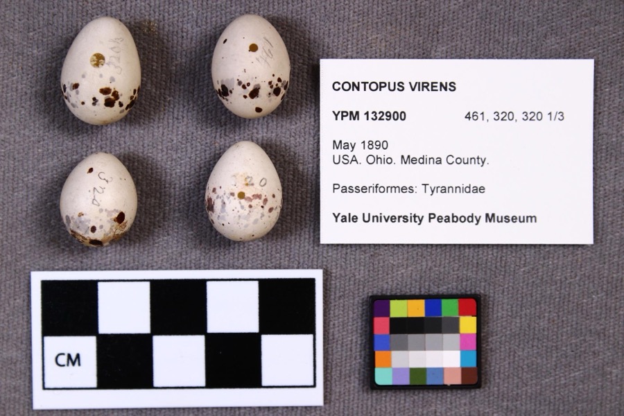
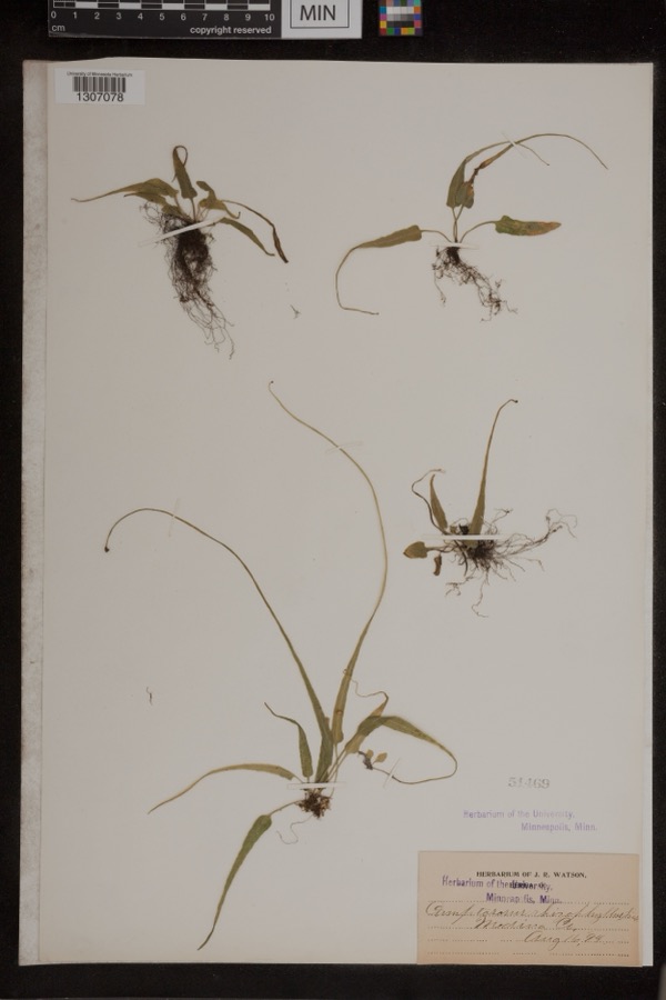
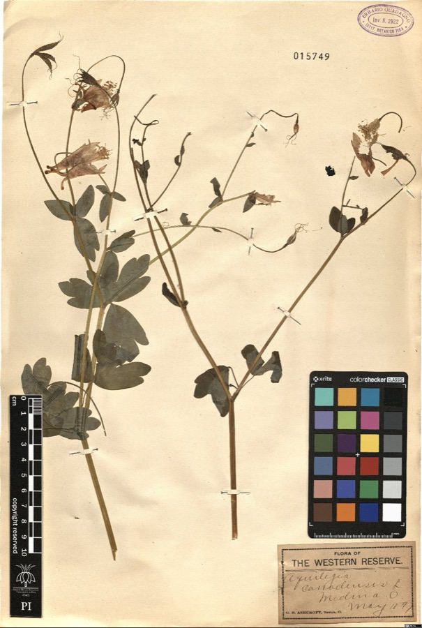
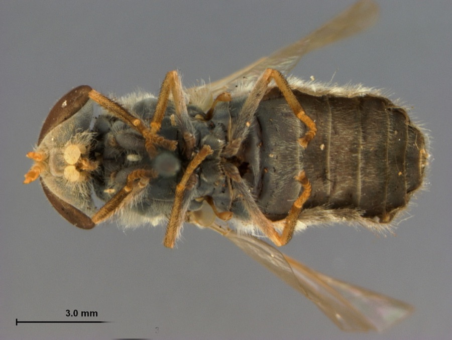
evidence. Museums hold 239 specimens
collected within 10 miles of Chandler, Matthew, House between 1884 and
1975: 203 Animalia, 29 Plantae, 6 Fungi, 1 Protozoa. 12 distinct Species records are shown.
Collected by Ashcroft,G.B. s.n. [1897-05], B Zahuranec & party, Burris V. D. and others. Each is a
physical object with a catalogue
number, and each entry opens the museum's record. This is what was
collected and kept, not a survey of what lives here - nothing can be
concluded from a species being absent.
Regional context, not property-specific
evidence. The federal mineral resources record lists
4 workings within 5 miles of Chandler, Matthew, House: 3 producers, 1 past producer.
3 still produce. What was taken out: Stone, Crushed/Broken, Sand and Gravel, Construction. Distance is straight-line from the
map coordinates, so a quarry counted here may appear on a neighbouring
settlement's page as well.
Regional context, not property-specific
evidence. The National Weather Service names
Sharon Center, the town this property stands in, in 8 storm reports between 1998 and 2025: 7 thunderstorm wind, 1 hail.
No death or injury is recorded in these reports. Each account below is quoted exactly as the forecast office
filed it, from the NOAA Storm Events Database, and each date
opens the federal record of that event.
No historic map-sheet match is published
for this property yet. That does not mean no map exists. This record needs
a coordinate-quality review before it can be joined to a sheet boundary.
Browse the county's mapped places while that work is
pending.
From the nomination file
1,596 words on record
When this property was proposed for the
National Register, someone wrote the case for it: what the building is,
and why it matters. That document is a federal record in the public domain.
It is quoted below word for word, never summarised. The text was read off the scanned case file by machine, so the
occasional stray character is the recogniser's and the 1970s
typewriter's.
Description of the property
there are stone pillars which probably supported some type of fence boarding.
From territory within the confines of the valley, which generally runs in a northwest containing a pantry and kitchen, large fireplace whose decoration duplicates in with a subtle entasis, an entablature with simplified moldings, no decorative elements, side lights 4 lights high over a raised walnut panel, 6 light transom spans the width of the door and is supported by square lintel which is topped with a one piece small molded cornice trim, lintel is supported by four square posts, two engaged are double hung, 6/6 light, rectangular exterior trim, weathercap and sill fit center of the wing is a fireplace, to the rear of the fireplace is a pantry or storage CONDITION UNALTERED CHECK ONE small scale the front door frontispiece.
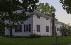
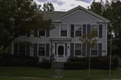
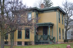
Orientation and general settings:The long dimension of the building is perpendicular have been restored to original condition and function with original hardware. roofed with tinned sheet metal with raised joints which are crimped. The kitchen section has a lower ceiling and stair access to the loft above.At the reputed to be a spite house built by the historic owner's brother;nevertheless, _DETERIORATED The main floor has twin parlors on the east side separated by a framed opening which center rail runs from the top to the bottom.An additional horizonal rail sides and slate shingles are on the 2-story portion.The 1-l/2 story portion is the building site a good general view can be had of all portions of the surrounding _UNEXPOSED it effectively cuts off the view to the town square.
approximately 18'from the top of the door froms two additional panels.The panels construction,30x 36 feet.A1-1/2 story wing to the west is approximately 18'x 24' _FAIR -GOOD LRUINS southeasterly direction.
Erected in the second quarter of the 19th century, this home illustrates first owner, Matthew A. Chandler was both representative of many early He fathered eight children, most of whom remained active in the Medina County area as teachers, farmers, and local government officials.
The leading citizens, noted for his "quiet, unpretentious life." 1700-1799 ECONOMICS X1800-1899 COMMUNICATIONS THEATER RELIGION ART EDUCATION SCULPTURE ARCHEOLOGY-HISTORIC PERIOD AGRICULTURE SCIENCE INDUSTRY PREHISTORIC EXPLORATION/SETTLEMENT SIGNIFICANCE MILITARY XARCHITECTURE LITERATURE BUILDER/ARCHITECT INVENTION _TRANSPORTATION -1500-1599 _PHILOSOPHY the Greek revival taste in American architecture which dominated the his health failed and he decided to come to Sharon Township to take up _CONSERVATION farming for the first time in his life.Although Sharon had been -1600-1699 Western Reserve area of Ohio until after the Civil War.
family farm grew to 1l2 acres,making Matthew one of Sharon Center's -1400-1499 The house is also significant asa record of local social history.Its -SOCIAL/HUMANITARIAN -COMMERCE a school by the time of Mr. Chandler's arrival in 1842. _1900- - LAW _COMMUNITY PLANNING settlers and yet quite extraordinary. Born in Windsor, Connecticut in 1804, he moved to Great Falls, New Hampshire at the age of 17 to work in a woolen mill. He became a foreman one year later. At the age of 38 organized just eleven years before, it contained several stores and ARCHEOLOGY-PREHISTORIC
Quoted from the National Register nomination
for reference 78002134, 9 pages, held by the National Archives in Record
Group 79. See the
catalogue record.
Listed places nearby
6 within 8 miles
Other National Register properties close
enough to walk or drive between, ordered by distance from this one. Both
positions come from the same geocoding pass that matched these properties
to their map sheets.
Listing record. National Park Service National Register of Historic Places, listed-properties dataset, current to 2026-05-22.
Map join. Address geocoded through the United States Census geocoder, then tested against the published boundary of every sheet in the USGS Historical Topographic Map Collection.
How this page is made. Listing fields come from federal records; map-sheet coverage is a labelled coordinate-to-boundary calculation, not a source-field claim.
Wildfire. Short, Karen C. 2022. Spatial wildfire occurrence data for the United States, 1992-2020 [FPA_FOD_20221014]. 6th Edition. Fort Collins, CO: Forest Service Research Data Archive. https://doi.org/10.2737/RDS-2013-0009.6 Collected with United States Government funding and usable without additional permissions or fees.
Specimens. Global Biodiversity Information Facility (GBIF), https://www.gbif.org/. Only records licensed CC0 or CC BY are used. Records licensed CC BY-NC are excluded because this site carries advertising. Images are checked individually and any whose licence is non-commercial, no-derivatives or unreadable is refused.
Mines and quarries. USGS Mineral Resources Data System (MRDS) https://mrdata.usgs.gov/mrds/ A work of the United States government, no copyright under 17 U.S.C. 105.
Storms. NOAA National Centers for Environmental Information, Storm Events Database https://www.ncei.noaa.gov/stormevents/ A work of the United States government, no copyright under 17 U.S.C. 105. Narratives are quoted verbatim from the National Weather Service report and are not edited or summarised.
 Block
Block