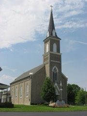
Listed on the National Register of Historic Places in
1978. A historic map-sheet match is not published yet. The record needs a coordinate-quality review before it can be joined to a sheet boundary.
From the record
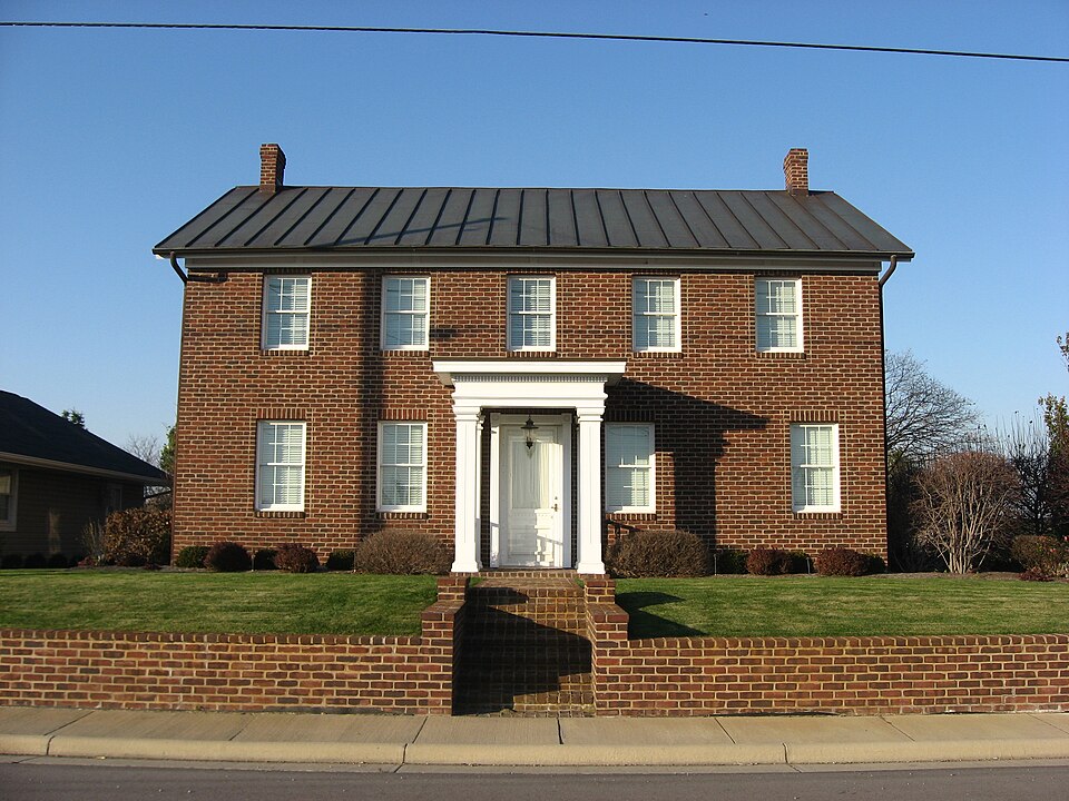
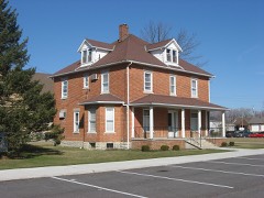
“The Matthias Gast House is a historic building in Maria Stein, Ohio, United States. Built in the middle of the nineteenth century, it was the home of one of Mercer County's most prominent early citizens, and it has been designated a historic site because of its importance in local history.”
Wikipedia article Matthias Gast House, CC BY-SA 4.0.
one of 28 National Register listings in Mercer County · listed in 1978 · category: Building.
National Register reference number.78002139- the number the National Park Service assigned this property when it was listed, and the key its nomination file is catalogued under at the National Archives.
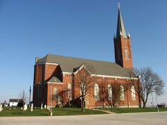
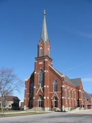
A station on the Cincinnati, Hamilton & Dayton Railway, less than a half mile west from St. Johns. This town has a population of about 500 or 600 but is not an incorporated village. The most important manufacturing concern of this town is the New Spreader Company, manufacturers of manure spreaders, of which company Henry Synck is manager and Benjamin Oppenheim, secretary. The company has a very complete plant, including foundry, pattern shop, wood-working machinery, electric light plant, etc., and employs 25 men. John Link conducts the Maria Stein Machine Shop, where boilers and engines are repaired and wagons are manufactured and repaired. Other important industries of the town are the Davidson butter tub factory, the grain elevator of Henry Kramer, who also deals in hardware and groceries and the Moeller Lumber Company, Louis Moeller, manager, which company deals in lumber and building material. Henry Goecke conducts an undertaking business, manufactures brick and deals in furniture. Dr. Alois J. Willke is the town's physiciati. Located a short distance northeast of the town is the large convent of the Sisters of the Most Precious Blood. A little over a mile west of Maria Stein is the settlement known as
Regional context, not property-specific
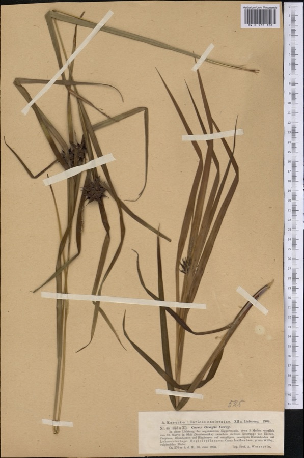
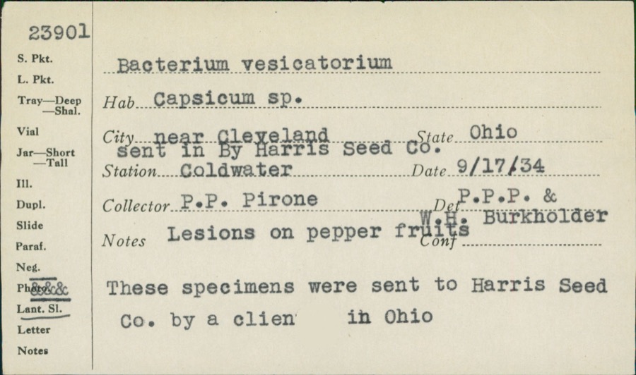
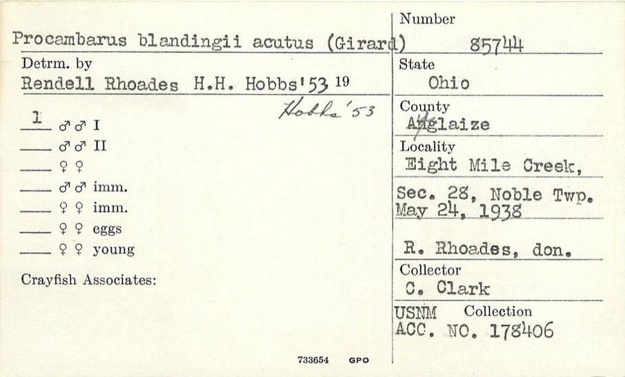
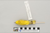
evidence. Museums hold 71 specimens
collected within 10 miles of Gast, Matthias, House and General Store between 1886 and
1975: 66 Animalia, 4 Plantae, 1 Unrecorded. 12 distinct Species records are shown.
Collected by C. Clark, Clark, C. F. (Clarence F.), Clarke, Arthur H. and others. Each is a
physical object with a catalogue
number, and each entry opens the museum's record. This is what was
collected and kept, not a survey of what lives here - nothing can be
concluded from a species being absent.
Regional context, not property-specific
evidence. The National Weather Service names
Maria Stein, the town this property stands in, in 12 storm reports between 2006 and 2023: 6 hail, 4 thunderstorm wind, 1 flash flood, 1 tornado.
No death or injury is recorded in these reports. Each account below is quoted exactly as the forecast office
filed it, from the NOAA Storm Events Database, and each date
opens the federal record of that event.
The tornado first touched down near Indian Trail Road and State Route 716. The tornado tracked east-northeast and crossed into Auglaize County near the intersection of State Route 364 and Minster Egypt Pike at 2348EST. The tornado continued northeast into Auglaize County before lifting near Bensman Road at 2353EST. Occasional tree and minor structural damage was noted along its path.
No historic map-sheet match is published
for this property yet. That does not mean no map exists. This record needs
a coordinate-quality review before it can be joined to a sheet boundary.
Browse the county's mapped places while that work is
pending.
From the nomination file
2,260 words on record
When this property was proposed for the
National Register, someone wrote the case for it: what the building is,
and why it matters. That document is a federal record in the public domain.
It is quoted below word for word, never summarised. The text was read off the scanned case file by machine, so the
occasional stray character is the recogniser's and the 1970s
typewriter's.
Description of the property
at the doors, windows and porches. A low rock-faced limestone foundation forms only one were built in the house, an unusual fluted, leafd mantel which was used as a home altar - roof and a 6' extension was added to its west end. The building is now used as a giftshop. CONDITION UNEXPOSED EXCELLENT UNALTERED The Matthias Gast house is an excellent example of vernacular architecture.The Co.When this company completes its building which is now under construction, it is the conceals the removal of the second front door. to its original use.
syimmetrically because a second doorway which led to the rooming house and possibly to has five evenly spaced 6/6 windows across the second story under a standing seam tin The kitchen is still in this rear portion with an open porch to the west and a latticed windows were replaced with siding and an off-center doorway was installed.A basement was roof with inside end chimneys.The matching windows on the first floor are not arranged narrow sides of the store which allowed light and interior shelving space remain.
All of the space in the store and addition are now used for storage by the Gagel Hardware In the boomtown front of the second story was a single centrally placed window under a wish of the present owner of the brick house to purchase the general store and return it open porch to the east.The interior features an open stairway off a central hall. angled recessed entrance.An architrave with dentils spanned the facade above the glass. CHECK ONE rooms are located on either side of the hall which extends from the front door into the each story with semi-circular fan windows at the gable ends. About 1870,a 26'x 40'addition was constructed to make the residence into a T-shape.
on Lot 4 is an early home, store and hotel of one of the original settlers of the county auctioneer, and church warden for St. John's parish. This historic complex remains today as a link to the early history of the township and county, and as a excellent example of the simple "vernacular"architecture of this area of the state.i 1700-1799 1600-1699 1400-1499 INVENTION ART RELIGION ECONOMICS PERIOD COMMUNICATIONS LAW ARCHEOLOGY-HISTORIC BUILDER/ARCHITECT THEATER SIGNIFICANCE AGRICULTURE PREHISTORIC MILITARY SCULPTURE LITERATURE SOCIAL/HUMANITARIAN store continued to serve the area until approximately 194l.The Gast family also INDUSTRY the founding family.All buildings were owned and constructed by the Matthias Gast St. Henry.
Matthias Gast was a county commissioner for six years, notary public, he platted lots for the West Addition in 1852.Gast bought five lots and built the There are four structures in this grouping and they are on adjoining lots in the family, although today only the house and summer kitchen remain in the Gast name. established a mercantile business in 1833 when he opened the first shoe store southern portion to the canal at Minster.
West Addition of the village of Maria Stein (population 350).The large brick house a farm one mile west of Maria Stein in 1846.Catholic immigrants from Germany were America.About 1832 he came to Minster, the first Catholic settlement in the area, established other mercantile centers in the neighboring towns of Celina, Chickasaw, and Matthias Gast was born in France in 1813,and at the age of 15,he emigrated to three bedroom gabled house which was constructed for housing later generations of when the building was made into a meeting room and dance hall.
Quoted from the National Register nomination
for reference 78002139, 16 pages, held by the National Archives in Record
Group 79. See the
catalogue record.
Listed places nearby
6 within 8 miles
Other National Register properties close
enough to walk or drive between, ordered by distance from this one. Both
positions come from the same geocoding pass that matched these properties
to their map sheets.
Listing record. National Park Service National Register of Historic Places, listed-properties dataset, current to 2026-05-22.
Map join. Address geocoded through the United States Census geocoder, then tested against the published boundary of every sheet in the USGS Historical Topographic Map Collection.
How this page is made. Listing fields come from federal records; map-sheet coverage is a labelled coordinate-to-boundary calculation, not a source-field claim.
Specimens. Global Biodiversity Information Facility (GBIF), https://www.gbif.org/. Only records licensed CC0 or CC BY are used. Records licensed CC BY-NC are excluded because this site carries advertising. Images are checked individually and any whose licence is non-commercial, no-derivatives or unreadable is refused.
Storms. NOAA National Centers for Environmental Information, Storm Events Database https://www.ncei.noaa.gov/stormevents/ A work of the United States government, no copyright under 17 U.S.C. 105. Narratives are quoted verbatim from the National Weather Service report and are not edited or summarised.
 Block
Block