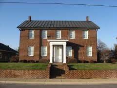
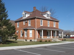
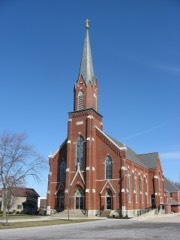
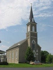
Listed on the National Register of Historic Places in
1979. A historic map-sheet match is not published yet. The record needs a coordinate-quality review before it can be joined to a sheet boundary.
From the record
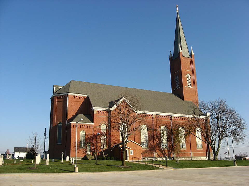
“John the Baptist Catholic Church is a historic Roman Catholic church in Marion Township, Mercer County, Ohio, United States. Located in the unincorporated community of Maria Stein, it is the home of an active congregation and has been recognized as a historic site because of its well-preserved late nineteenth-century Romanesque Revival architecture.”
Wikipedia article St. John the Baptist Catholic Church (Maria Stein, Ohio), CC BY-SA 4.0.
one of 28 National Register listings in Mercer County · listed in 1979 · category: Building.
National Register reference number.79002828- the number the National Park Service assigned this property when it was listed, and the key its nomination file is catalogued under at the National Archives.
A station on the Cincinnati, Hamilton & Dayton Railway, less than a half mile west from St. Johns. This town has a population of about 500 or 600 but is not an incorporated village. The most important manufacturing concern of this town is the New Spreader Company, manufacturers of manure spreaders, of which company Henry Synck is manager and Benjamin Oppenheim, secretary. The company has a very complete plant, including foundry, pattern shop, wood-working machinery, electric light plant, etc., and employs 25 men. John Link conducts the Maria Stein Machine Shop, where boilers and engines are repaired and wagons are manufactured and repaired. Other important industries of the town are the Davidson butter tub factory, the grain elevator of Henry Kramer, who also deals in hardware and groceries and the Moeller Lumber Company, Louis Moeller, manager, which company deals in lumber and building material. Henry Goecke conducts an undertaking business, manufactures brick and deals in furniture. Dr. Alois J. Willke is the town's physiciati. Located a short distance northeast of the town is the large convent of the Sisters of the Most Precious Blood. A little over a mile west of Maria Stein is the settlement known as
Regional context, not property-specific
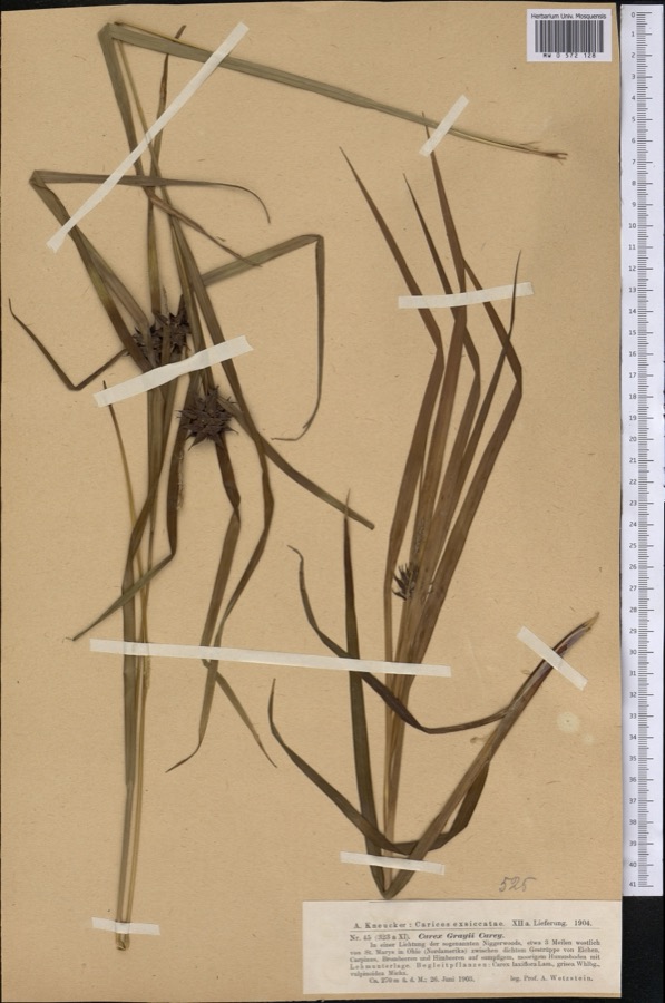
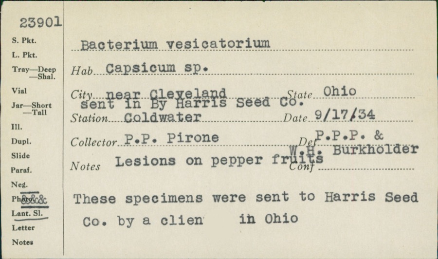
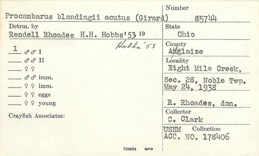
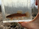
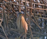
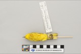
evidence. Museums hold 71 specimens
collected within 10 miles of Maria Stein Catholic Church and Rectory between 1886 and
1975: 66 Animalia, 4 Plantae, 1 Unrecorded. 12 distinct Species records are shown.
Collected by C. Clark, Clark, C. F. (Clarence F.), Clarke, Arthur H. and others. Each is a
physical object with a catalogue
number, and each entry opens the museum's record. This is what was
collected and kept, not a survey of what lives here - nothing can be
concluded from a species being absent.
Regional context, not property-specific
evidence. The National Weather Service names
Maria Stein, the town this property stands in, in 12 storm reports between 2006 and 2023: 6 hail, 4 thunderstorm wind, 1 flash flood, 1 tornado.
No death or injury is recorded in these reports. Each account below is quoted exactly as the forecast office
filed it, from the NOAA Storm Events Database, and each date
opens the federal record of that event.
The tornado first touched down near Indian Trail Road and State Route 716. The tornado tracked east-northeast and crossed into Auglaize County near the intersection of State Route 364 and Minster Egypt Pike at 2348EST. The tornado continued northeast into Auglaize County before lifting near Bensman Road at 2353EST. Occasional tree and minor structural damage was noted along its path.
No historic map-sheet match is published
for this property yet. That does not mean no map exists. This record needs
a coordinate-quality review before it can be joined to a sheet boundary.
Browse the county's mapped places while that work is
pending.
From the nomination file
1,214 words on record
When this property was proposed for the
National Register, someone wrote the case for it: what the building is,
and why it matters. That document is a federal record in the public domain.
It is reproduced in full on its own page, word for word and never summarised. The text was read off the scanned case file by machine, so the
occasional stray character is the recogniser's and the 1970s
typewriter's.
Quoted from the National Register nomination
for reference 79002828, 7 pages, held by the National Archives in Record
Group 79. See the
catalogue record.
Listed places nearby
6 within 8 miles
Other National Register properties close
enough to walk or drive between, ordered by distance from this one. Both
positions come from the same geocoding pass that matched these properties
to their map sheets.
Listing record. National Park Service National Register of Historic Places, listed-properties dataset, current to 2026-05-22.
Map join. Address geocoded through the United States Census geocoder, then tested against the published boundary of every sheet in the USGS Historical Topographic Map Collection.
How this page is made. Listing fields come from federal records; map-sheet coverage is a labelled coordinate-to-boundary calculation, not a source-field claim.
Specimens. Global Biodiversity Information Facility (GBIF), https://www.gbif.org/. Only records licensed CC0 or CC BY are used. Records licensed CC BY-NC are excluded because this site carries advertising. Images are checked individually and any whose licence is non-commercial, no-derivatives or unreadable is refused.
Storms. NOAA National Centers for Environmental Information, Storm Events Database https://www.ncei.noaa.gov/stormevents/ A work of the United States government, no copyright under 17 U.S.C. 105. Narratives are quoted verbatim from the National Weather Service report and are not edited or summarised.
 Block
Block