Listed on the National Register of Historic Places in
1978. A historic map-sheet match is not published yet. The record needs a coordinate-quality review before it can be joined to a sheet boundary.
From the record
“This was an event in Roseville never to be forgotten ! And, strange to relate, maiij', deemed well clad hitherto, now thought they had "nothing to wear 1"”
1794. History of Muskingum County, Ohio, with Illustrations and Biographical Sketches of Prominent Men and Pioneers (1882). Machine-read text.
one of 70 National Register listings in Muskingum County · listed in 1978 · category: Building.
National Register reference number.78002157- the number the National Park Service assigned this property when it was listed, and the key its nomination file is catalogued under at the National Archives.
This is the only village in Clay township. It joins Morgan county on the south, and Perry county on' the west. It was laid out by Ezekiel Rose, in 1812, under the name of New Miiford. Two years later, Mr. Rose built the first cabin ; and near the same time, Jeremiah Spurgeon built his cabin. The name of the village was changed in June, 1830, when a postoffice was appointed there - there being another Roseville in Ohio, this change was deemed imperative by the Postmaster General. John Allen was the first Postmaster. It is claimed, by some, that the postoffice is of older date, but no record can be found concerning this. John Allen's brother, Robert, had charge of the postoffice until Jackson was elected President of the United States, the second time, in 1832. His successors have been, Edward Rose, John Forgraves, Orange W. Pace, R. B. Allen, C. L. Williams and L. S. Kildow. For many years following the inauguration of the postoffice, the mail was weekly, and carried to and fro on horseback. In those days, the rate of postage, was twentylive cents for each letter, payable in silver, by the person receiving the letter.
The village of Roseville was incorporated A. D. 1840. The population, at this time, was about three hundred, and, under the new regime, a Mayor and Council must preside over her destinies. Accordingly, Dr. James Little was elected Mayor. The date of this election is supposed to have been shortly after the incorporation ; but no record of the election has been found, and no tradition informs us who the members of the Council were.
Regional context, not property-specific
evidence. The
federal wildfire occurrence database
lists 41 fires within 5 miles of Roseville High School between
2013 and 2020, burning about 196 acres in total. None started naturally. 3 were recorded as arson.
Distance is straight-line from the map coordinates, so a fire counted
here may appear on a neighbouring settlement's page as well.
Reported cause
Fires
Debris and open burning
29
Missing data/not specified/undetermined
6
Arson/incendiarism
3
Power generation/transmission/distribution
1
Recreation and ceremony
1
Smoking
1
The most recent of
them, most recent first, with the day each was reported and the service
that recorded it.
Regional context, not property-specific
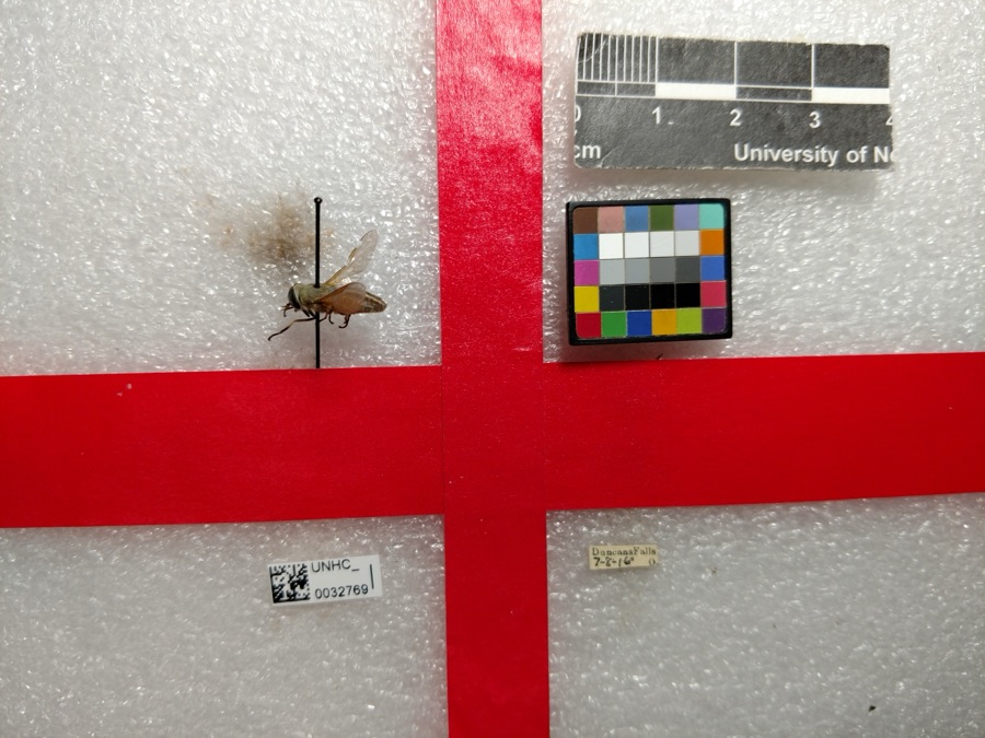
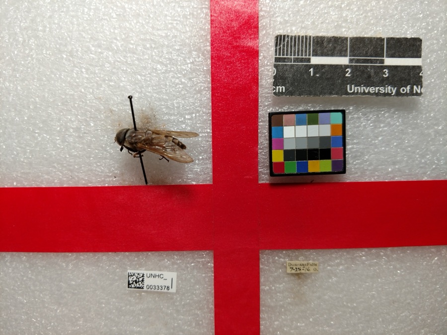
evidence. Museums hold 350 specimens
collected within 10 miles of Roseville High School between 1873 and
1973: 312 Animalia, 25 Plantae, 7 Fungi, 5 Protozoa, 1 Chromista. 12 distinct Species records are shown.
Collected by A.E. Miller, Adams, William, Buker, W.E. and others. Each is a
physical object with a catalogue
number, and each entry opens the museum's record. This is what was
collected and kept, not a survey of what lives here - nothing can be
concluded from a species being absent.
Regional context, not property-specific
evidence. The federal mineral resources record lists
12 workings within 5 miles of Roseville High School: 6 past producers, 6 producers.
6 still produce. What was taken out: Clay, Limestone, General, Stone, Crushed/Broken. Distance is straight-line from the
map coordinates, so a quarry counted here may appear on a neighbouring
settlement's page as well.
Regional context, not property-specific
evidence. The National Weather Service names
Roseville, the town this property stands in, in 9 storm reports between 1995 and 2019: 3 thunderstorm wind, 3 hail, 2 flood, 1 tornado.
No death or injury is recorded in these reports. Each account below is quoted exactly as the forecast office
filed it, from the NOAA Storm Events Database, and each date
opens the federal record of that event.
The NWS Storm Survey confirms an EF1 tornaod went through town with winds around 105mph to 109mph. Damage was noted right at |the county line at the intersection of Perry Street and West 1st |Street and continued eastward through town. There was extensive |tree damage that was used to determine the EF1 rating. Over 70 |hardwood trees were either uprooted, snapped, or lost large limbs.|There were over 20 softwood trees that sustained similar damage. |Several homes sustained damage due to trees falling on them. |Additionally up to ten homes lost less than 20% of their shingles |from the wind. There was a tractor trailer that was used for |storage that was overturned. A shed was completely destroyed along|with several other loose outdoor items adjacent to homes in the |town of Roseville. The tornado lifted just west of Hoop Pole Road,|where large branches were brought down in a wooded area. The |beginning point of this tornado is pending further evidence |from a survey by the National Weather Service in Charleston, WV.
No historic map-sheet match is published
for this property yet. That does not mean no map exists. This record needs
a coordinate-quality review before it can be joined to a sheet boundary.
Browse the county's mapped places while that work is
pending.
From the nomination file
1,746 words on record
When this property was proposed for the
National Register, someone wrote the case for it: what the building is,
and why it matters. That document is a federal record in the public domain.
It is quoted below word for word, never summarised. The text was read off the scanned case file by machine, so the
occasional stray character is the recogniser's and the 1970s
typewriter's.
Description of the property
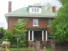
side (south) features three bays, with the center bay recessed approximately ten feet. of the bay, and through two other doors set to either side of the main doors, at a level building, built of ironspot brick, resting on a foundation of brick with a beveled stone center bay is highlighted by several window combinations, including three double hung capped with a handsome truncated hip roof covered with locally-produced red tile. Four The plan includes four rooms on each floor, with limited gymnasium facilities in the of their renovation plans, the present owners have had an engineer inspect the building; CONDITION EXCELLENT UNALTERED MOVED DETERIORATED its abandonment.
CHECK ONE with the first and second floors of these bays exhibiting four windows at each of the 7DESCRIPTION school consists of generally the same bay patterns as does the front, however, there is set near the center of the roof between the chimneys. - UNEXPOSED In this center bay is located the main entrance to the building.Access to the school XFAIR LRUINS the water table, are basement windows, double hung, three-over-three. classrooms, double hung, six-over-six, set flush with one another. sides. Three windowssare placed horizontally on the ends of these projecting bays. stairways set perpendicular to the bay itself. The school is basically an H-shaped of the facades of the east and west bays. The east and west sides of the school are all levels.
These bays boast their own slightly hipped roofs, and have inwardly-flared pierced chimneys rise from the deck of the roof; the frame of a bell tower also remains The interior of Roseville High School is generally unaltered from the original. the first floor; present owners plan to remove this wall.
Roseville High School was built in 1914 by Zanesville contractors, and witnessed a period Roseville became internationally known as a producer of art pottery, although today 1914 1500-1599 1400-1499 1700-1799 1600-1699 INVENTION ARCHEOLOGY-HISTORIC CONSERVATION ECONOMICS PERIOD TRANSPORTATION BUILDER/ARCHITECT AGRICULTURE SCIENCE SCULPTURE EXPLORATION/SETTLEMENT SIGNIFICANCE THEATER INDUSTRY MILITARY PHILOSOPHY ART POLITICS/GOVERNMENT XARCHITECTURE _ENGINEERING the high school provided educations for many of the pottery workers and for their children. LITERATURE The building was of the greatest educational significance to the village for more than X_EDUCATION support to seek funding to adapt the building for use as a day care and community center.
was used as an elementary building until 1970, when it was abandoned during school district The high school stands asa typical example of early twentieth-century educational -1800-1899 Roseville was platted in l8l3 by Ezekiel Rose who named the village New Milford. -COMMUNICATIONS fifty years.After the completion of a new high school in the 1930s, the old high school _PREHISTORIC of exciting growth in the village.During the time that the high school was in use, X1900- When the post office was established in 1830,the name was changed to honor the village's - RELIGION -COMMERCE -MUSIC - LAW COMMUNITY PLANNING founder. Various buildings have served the educational needs of Roseville over the years.
architecture, with local touches added by the application of some of the decorative brick- ning committee: Samuel Laughlin, William Maddox, Homer Patch, R.S. Smith, and John Keslar. consolidation. The present owners have formed a non-profit corporation with village-wide ARCHEOLOGY-PREHISTORIC During the first half of the twentieth the village's fortunes have somewhat declined.
Quoted from the National Register nomination
for reference 78002157, 10 pages, held by the National Archives in Record
Group 79. See the
catalogue record.
Listed places nearby
6 within 8 miles
Other National Register properties close
enough to walk or drive between, ordered by distance from this one. Both
positions come from the same geocoding pass that matched these properties
to their map sheets.
Listing record. National Park Service National Register of Historic Places, listed-properties dataset, current to 2026-05-22.
Map join. Address geocoded through the United States Census geocoder, then tested against the published boundary of every sheet in the USGS Historical Topographic Map Collection.
How this page is made. Listing fields come from federal records; map-sheet coverage is a labelled coordinate-to-boundary calculation, not a source-field claim.
Wildfire. Short, Karen C. 2022. Spatial wildfire occurrence data for the United States, 1992-2020 [FPA_FOD_20221014]. 6th Edition. Fort Collins, CO: Forest Service Research Data Archive. https://doi.org/10.2737/RDS-2013-0009.6 Collected with United States Government funding and usable without additional permissions or fees.
Specimens. Global Biodiversity Information Facility (GBIF), https://www.gbif.org/. Only records licensed CC0 or CC BY are used. Records licensed CC BY-NC are excluded because this site carries advertising. Images are checked individually and any whose licence is non-commercial, no-derivatives or unreadable is refused.
Mines and quarries. USGS Mineral Resources Data System (MRDS) https://mrdata.usgs.gov/mrds/ A work of the United States government, no copyright under 17 U.S.C. 105.
Storms. NOAA National Centers for Environmental Information, Storm Events Database https://www.ncei.noaa.gov/stormevents/ A work of the United States government, no copyright under 17 U.S.C. 105. Narratives are quoted verbatim from the National Weather Service report and are not edited or summarised.
 Block
Block