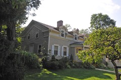
Photograph by National Park Service, Public domain. Via
Wikimedia Commons.
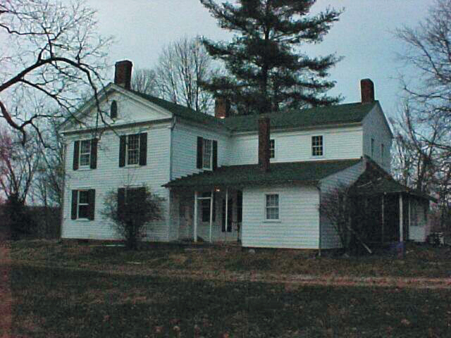
Brown, Jim, House
Listed on the National Register of Historic Places in
1979. A historic map-sheet match is not published yet. The record needs a coordinate-quality review before it can be joined to a sheet boundary.
From the record
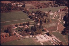
“The Jim Brown House, also known as the Brown-Bender House, sits east of Ira and Akron-Peninsula Roads in Peninsula, Ohio, United States. Constructed in 1840, it sits back off the road, up a hidden, winding and steep driveway.”
Wikipedia article Jim Brown House, CC BY-SA 4.0.
one of 137 National Register listings in Summit County · listed in 1979 · category: Building · one of 1 National Historic Landmarks in Summit County.
National Register reference number.79000299- the number the National Park Service assigned this property when it was listed, and the key its nomination file is catalogued under at the National Archives.
The church edifice was completed in 1836 and consecrated to the worship of Almighty God by Bishop Mcllvaine on the 10th of July of that year. It is the oldest church within a very large area, unless it be the Congregational Church at Tallmadge, which stands to-day as it was originally built. The plan adopted was the same essentially^ as that of old Trinity Church. Cleveland, except that the front of the building was more showy, and the chancel more elaborate and expensive. But such as it was at first it remains to this day, except the ciiange in the chancel made last year. There were present at the consecration. Rev. Abraham Bronson, of Peninsula, and Rev. Thomas Barrow, missionary- at Akron, and the Rector.
The church edifice was completed in 1856 and consecrated to the worship of Almighty (sod by Bishop MelIlvaine on the 10th of July of that year. It is the oldest church within a very large area, unless it be the Congregational Chureh at Tallmadge. which stands to-day as it was originally built. The plan adopted was the same essentially as that of old Trinity Church. Cleveland. except that the front of the »uilding was more showy, and the chancel more elaborate and expensive. But such as it was at first it remains to this day, except the change in the chancel made last year. There were present at the consecration, Rev. Abraham Bronson, of Peninsula. and Rey. Thomas Barrow, missionary at Akron. and the Rector.
Regional context, not property-specific
evidence. The
federal wildfire occurrence database
lists 13 fires within 5 miles of Brown, Jim, House between
1993 and 2012, burning about 7 acres in total. 3 started naturally. 1 was recorded as arson.
Distance is straight-line from the map coordinates, so a fire counted
here may appear on a neighbouring settlement's page as well.
Reported cause
Fires
Natural
3
Recreation and ceremony
2
Debris and open burning
2
Railroad operations and maintenance
1
Smoking
1
Equipment and vehicle use
1
Power generation/transmission/distribution
1
Arson/incendiarism
1
Missing data/not specified/undetermined
1
The most recent of
them, most recent first, with the day each was reported and the service
that recorded it.
Regional context, not property-specific
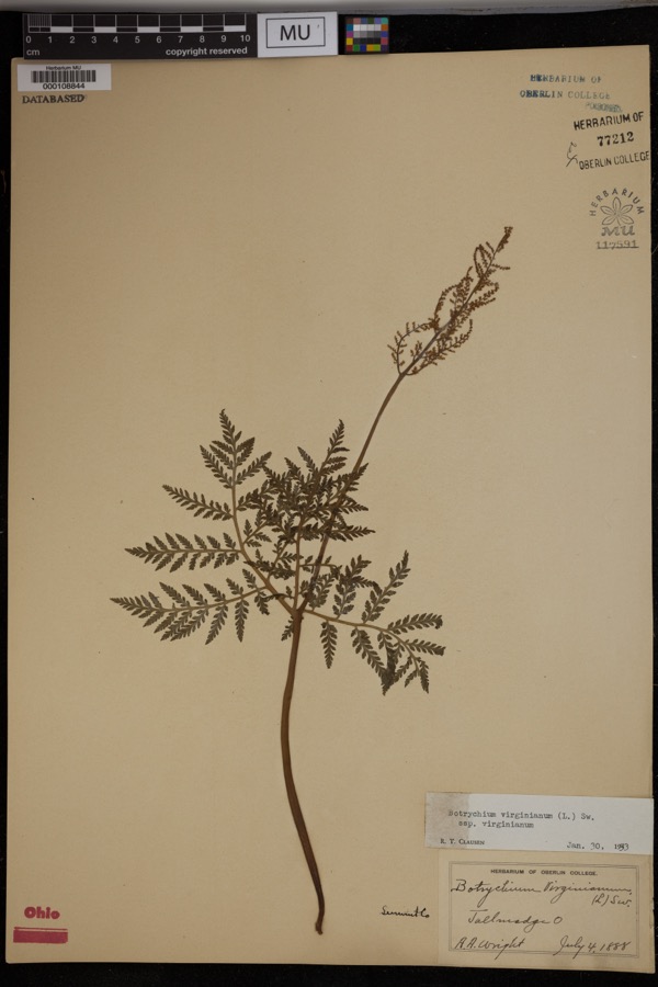
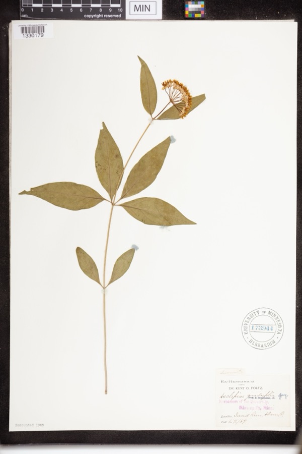
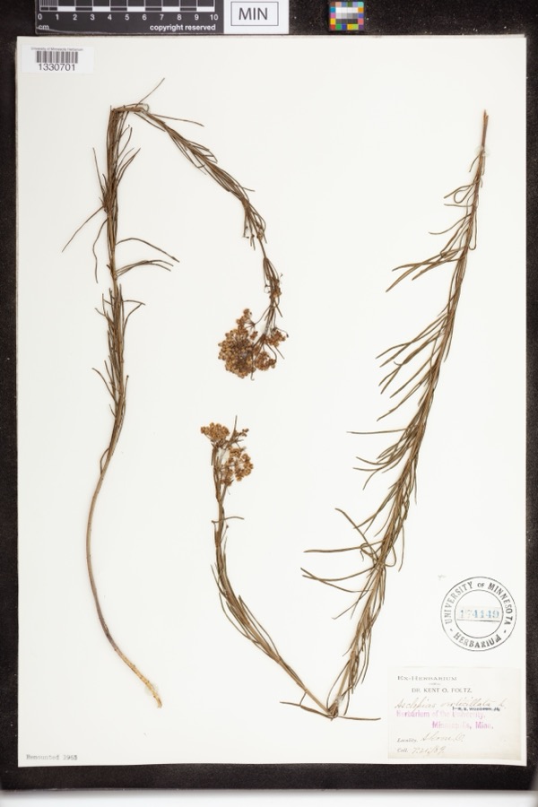
evidence. Museums hold 905 specimens
collected within 10 miles of Brown, Jim, House between 1867 and
1975: 789 Animalia, 66 Plantae, 49 Fungi, 1 Unrecorded. 12 distinct Species records are shown.
Collected by (no collector listed), A. Black, A. Hall and others. Each is a
physical object with a catalogue
number, and each entry opens the museum's record. This is what was
collected and kept, not a survey of what lives here - nothing can be
concluded from a species being absent.
Regional context, not property-specific
evidence. The federal mineral resources record lists
6 workings within 5 miles of Brown, Jim, House: 6 past producers.
None of them still produces. What was taken out: Sand and Gravel, Construction. Distance is straight-line from the
map coordinates, so a quarry counted here may appear on a neighbouring
settlement's page as well.
Regional context, not property-specific
evidence. The National Weather Service names
Peninsula, the town this property stands in, in 10 storm reports between 1995 and 2024: 7 thunderstorm wind, 1 hail, 1 lightning, 1 flash flood.
The reports record 9 injuries. Each account below is quoted exactly as the forecast office
filed it, from the NOAA Storm Events Database, and each date
opens the federal record of that event.
Nine boys ages 11 to 14 were injured when lightning struck a tree near their campsite. All of the injuries were minor. The boys were staying at a campground in Boston Township.
A thunderstorm with torrential rain produced 2.25 of rain, most of which fell within 30 minutes between 606 PM and 636 PM. Flooding commenced shortly thereafter around 640 PM. Storm drains were overwhelmed with water over a foot deep filling in streets. Roads flooded include Morris Drive, Woodland Drive, I-271 underpass, with minor damage to Riverview Road.
No historic map-sheet match is published
for this property yet. That does not mean no map exists. This record needs
a coordinate-quality review before it can be joined to a sheet boundary.
Browse the county's mapped places while that work is
pending.
From the nomination file
3,258 words on record
When this property was proposed for the
National Register, someone wrote the case for it: what the building is,
and why it matters. That document is a federal record in the public domain.
It is quoted below word for word, never summarised. The text was read off the scanned case file by machine, so the
occasional stray character is the recogniser's and the 1970s
typewriter's.
Description of the property
had a shed-roofed porch with a spindle rail and frieze, probably room in the ell (now used as a living room, but probably once the Also on the Brown property, between the house and the road, is a family marked the graves of "N. C. Brown," who died October 4, 1844, at the CONDITION UNEXPOSED white. FAIR The central entrance features a three-part entablature and pilasters. story apartment. The doorway is recessed and is flanked by narrow sidelights divided vertical siding.The gable roof is of slate.There are two cupola these changes, the original woodwork and fireplace mantels are intact, is of braced frame construction and rests on an ashlar stone foundation.
Two one-story rooms with screened porches have been added at the rear ventilators with pyramidal roofs, and there are stylized Palladian have decorative wood shutters painted green. The house is painted vents in the gables. The barn is painted red with white trim. CHECK ONE room house was converted to double occupancy in 1950,and there are _DETERIORATED feet southeast of the house. It is a large, three-story bank barn with separate apartments on the top and ground floors.A.second stairway feature a molded raking cornice, flush siding, and Gothic-arch louvered The Jim Brow Barn, constructed c. 1886,is situated about five hundred _UNALTERED -RUINS -GOOD age of nine; and "D. M.
Brown," who died January 21, 1851 at the age DATE Except for Windows in the ell are ventilators.There are three inside end chimneys with corbeled caps. The double-hung windows in the main block have main block has been remodeled to serve as the kitchen. The fireplace in the first-floor There is a rectangular six-panel door covered by Greek Revival style.
Frontier Life and Character in the South and West (Columbus, 0.: Follett, Foster and Company, 1860), p. 229. 1400-1499 History 1700-1799 1500-1599 Folklore ART BUILDER/ARCHITECT PERIOD SIGNIFICANCE ARCHEOLOGY-HISTORIC LAW ARCHITECTURE however. MILITARY INDUSTRY EXPLORATION/SETTLEMENT THEATER PREHISTORIC _POLITICS/GOVERNMENT _TRANSPORTATION EDUCATION LITERATURE _CONSERVATION _COMMUNICATIONS _1600-1699 folklore of the Cuyahoga Valley. Coggeshall writes in the preface to his tale about the operations of Samuel A.Lane,Fifty Years and Over of Akron and Summit County 1900- The Jim Brown House is significant for its association with this _ECONOMICS He embarked in trade with William G.
Taylor of Cleveland, MUSIC keeping a store and tavern in a two-story frame building he erected at SCULPTURE that the two-story store still standing adjacent to the Ohio Canal in _SCIENCE _SOCIAL/HUMANITARIAN Lucy Mather in 1819,and built a house on a portion of his father's _ENGINEERING moving first to a farm near Youngstown, and finally settling on "640 X1800-1899 Beacon Job Department,1892),pp.876-877.It is be1ieved Daniel and James R.Brown were natives of _COMMERCE - RELIGION the valley, and the Victorian-period bank barn nearby have a high "Dan" Brown moved to Lawrenceburg, Indiana, although he continued to landlord.
"Jim" Brown, who, aided by his brother Dan and a host of others, takes its inspiration from the legendary exploits of the infamous degree of historical and architectural integrity. Greek Revival style. Both the house, with its commanding view of make frequent visits to his old home in Boston. east side.of the river and refitted as a hotel; Jim Brown presided as New York State. While still children, their family emigrated to Ohio, Boston about 1825-26.Some years later the store was moved to the "Northern Ohio was 'flooded' with counterfeit money," William T.
Quoted from the National Register nomination
for reference 79000299, 22 pages, held by the National Archives in Record
Group 79. See the
catalogue record.
Listed places nearby
6 within 8 miles
Other National Register properties close
enough to walk or drive between, ordered by distance from this one. Both
positions come from the same geocoding pass that matched these properties
to their map sheets.
Listing record. National Park Service National Register of Historic Places, listed-properties dataset, current to 2026-05-22.
Map join. Address geocoded through the United States Census geocoder, then tested against the published boundary of every sheet in the USGS Historical Topographic Map Collection.
How this page is made. Listing fields come from federal records; map-sheet coverage is a labelled coordinate-to-boundary calculation, not a source-field claim.
Wildfire. Short, Karen C. 2022. Spatial wildfire occurrence data for the United States, 1992-2020 [FPA_FOD_20221014]. 6th Edition. Fort Collins, CO: Forest Service Research Data Archive. https://doi.org/10.2737/RDS-2013-0009.6 Collected with United States Government funding and usable without additional permissions or fees.
Specimens. Global Biodiversity Information Facility (GBIF), https://www.gbif.org/. Only records licensed CC0 or CC BY are used. Records licensed CC BY-NC are excluded because this site carries advertising. Images are checked individually and any whose licence is non-commercial, no-derivatives or unreadable is refused.
Mines and quarries. USGS Mineral Resources Data System (MRDS) https://mrdata.usgs.gov/mrds/ A work of the United States government, no copyright under 17 U.S.C. 105.
Storms. NOAA National Centers for Environmental Information, Storm Events Database https://www.ncei.noaa.gov/stormevents/ A work of the United States government, no copyright under 17 U.S.C. 105. Narratives are quoted verbatim from the National Weather Service report and are not edited or summarised.
 Block
Block