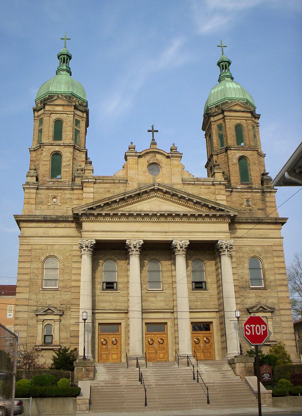
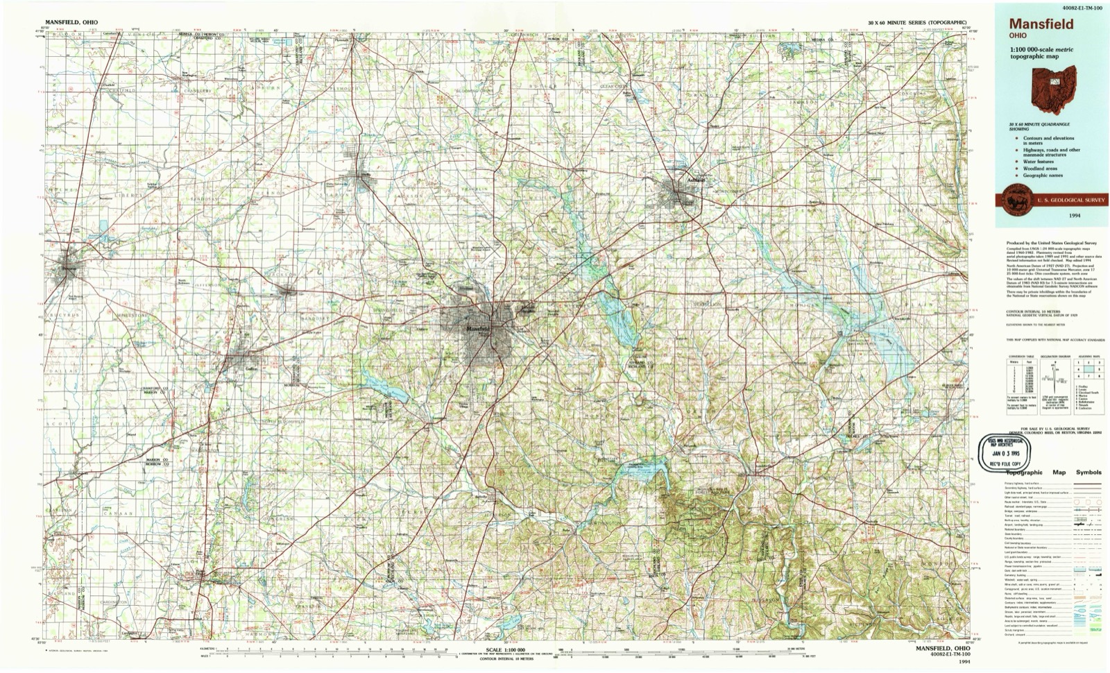
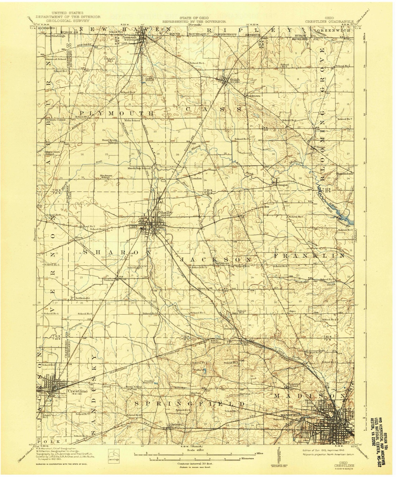
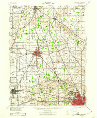
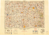
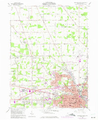
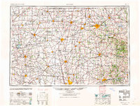
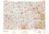
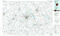
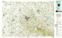
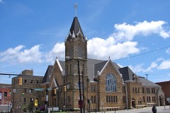
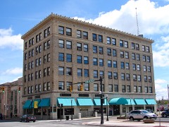
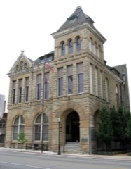
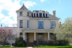
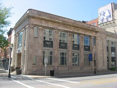
Built in 1911 (Spanish Colonial Revival architecture). Listed on the National Register of Historic Places in 1979. 8 historic topographic surveys show this location, the earliest from 1915.
From the record
One of 68 National Register listings published here for Richland County · listed in 1979 · category: Building · built in 1911, Spanish Colonial Revival architecture.
National Register reference number.79001930- the number the National Park Service assigned this property when it was listed, and the key its nomination file is catalogued under at the National Archives.
Then and now
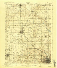
1915 to 1994
The ground this property stands on, surveyed
79 years apart. Drag the handle to wipe between them. Both sheets are
United States Geological Survey originals; neither has been altered.
The biggest little man you ever saw! He doesn't weigh much, but he uses every ounce of the weight he has, a scrapper all the way. The big guard from Columbus who weighed exactly two pounds more than twice as much as Harold found himself played to a stand still. Harold couldn't move him, of course, but no more could he move Harold. So Harold stood Gibral¬ tar while the Columbus plunges smashed and broke upon him. This is Mansfield's first year of football and his last year of high school. M. H. S. should regret both these facts.
A COMPREHENSIVE resume of the development of the public school system of Mansfield from its re¬ mote cabin form of but a few scholars, to tile present day high school of more than eleven hundred members, calls for a historical background of Richland County to illustrate the prodigy of this growth.
Regional context, not property-specific
evidence. The
federal wildfire occurrence database
lists 3 fires within 5 miles of St. Peters Church
between 2002 and 2005, burning about 2 acres in total. None started naturally. None was recorded as arson.
Distance is straight-line from the map coordinates, so a fire counted
here may appear on a neighbouring settlement's page as well.
Reported cause
Fires
Debris and open burning
2
Smoking
1
The most recent of
them, most recent first, with the day each was reported and the service
that recorded it.
Regional context, not property-specific
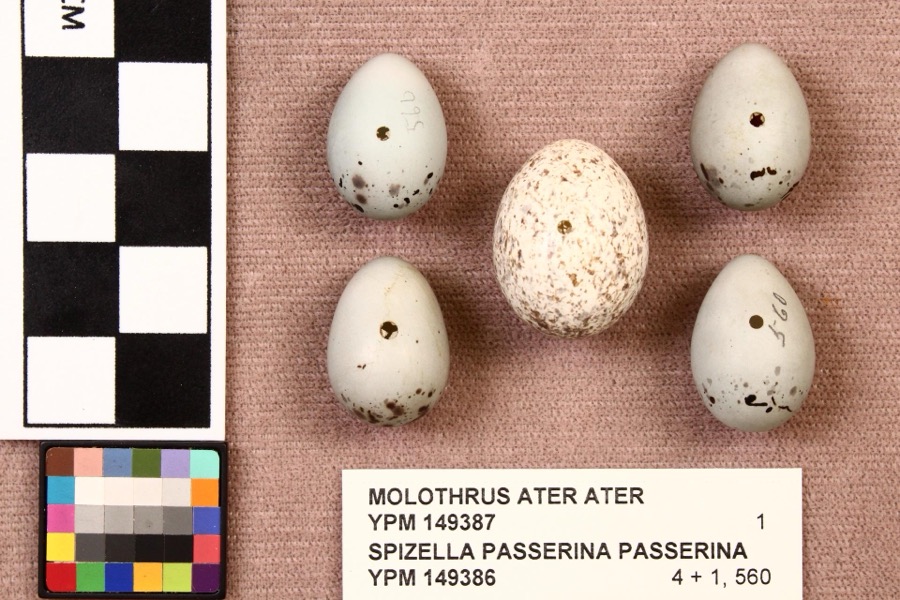
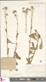
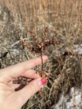
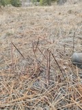
evidence. Museums hold 754 specimens
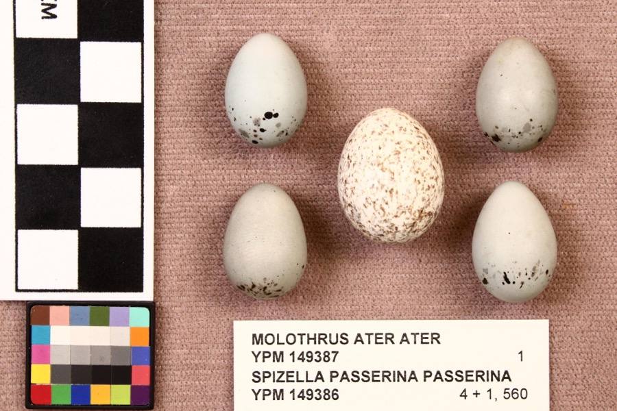
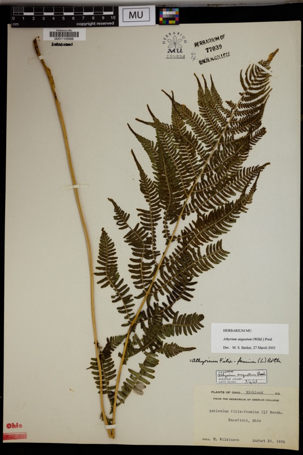
collected within 10 miles of St. Peters Church between 1835 and 1975: 491 Plantae, 253 Animalia, 10 Fungi.
12 distinct Species records are shown.
Collected by Berra, T. (Tim), C F WALKER, Chase, H. (Hazel) and others. Each is a
physical object with a catalogue
number, and each entry opens the museum's record. This is what was
collected and kept, not a survey of what lives here - nothing can be
concluded from a species being absent.
Regional context, not property-specific
evidence. The federal mineral resources record lists
1 working within 5 miles of St. Peters Church: 1 producer.
All of them still produce. What was taken out: Iron. Distance is straight-line from the
map coordinates, so a quarry counted here may appear on a neighbouring
settlement's page as well.
Regional context, not property-specific
evidence. The National Weather Service names
Mansfield, the town this property stands in, in 108 storm reports between 1994 and 2026: 54 thunderstorm wind, 43 hail, 7 flash flood, 2 tornado.
No death or injury is recorded in these reports. Each account below is quoted exactly as the forecast office
filed it, from the NOAA Storm Events Database, and each date
opens the federal record of that event.
Thunderstorms dumped one to three inches of rain on portions of Richland County in a short period of time. Three inches of rain was measured by spotters in Mansfield in less than two hours. Widespread urban and lowland flooding occurred across the county with the Mansfield and Ontario areas most severely affected. Water eight feet deep was reported in an underpass on the east side of Mansfield with up to three feet of water on many other area roads. Several vehicles were stranded in the flood waters. In Mansfield, a basement wall collapsed causing extensive damage to a home. Several hundred other homes in the county experienced basement flooding.
Thunderstorms dumped two to three inches of rain on Mansfield during the evening hours. Widespread street and lowland flooding occurred as several streams and creeks left their banks. A library had to be evacuated due to flooding in a ground level lobby and parking garage. Several streets in the downtown area flooded stranding many vehicles. Several people had to be rescued from their vehicles. Water up to eight feet deep was reported in an underpass just east of downtown.
Thunderstorm winds tore sections of roofing off of two large buildings and downed many trees on the northwest side of Mansfield. A windshield was also blown out of a car.
Thunderstorms winds estimated at 60 mph blew the roof off of a house along Kentucky Avenue on the north side of Mansfield. The roofs of two other homes were partially blown off.
An EF0 tornado touched down in rural Richland County about two miles north northwest of Lucas. The initial touchdown occurred near the intersection of Crimson and Mount Zion Roads. The tornado then continued southeast for around four tenths of a mile before dissipating. The damage path suggests that the tornado may not have been in constant contact with the ground. The damage path was no more than 20 yards in width. A barn was leveled by the tornado and two other buildings were damaged. Four cattle were injured by flying debris. Debris from the destroyed barn was found about three miles away from the location of the touchdown.
Thunderstorm winds estimated at 58 mph did considerable damage at a racetrack near Mansfield Lahm Airport. A 52 mph wind gust was recorded at the airport at 7:09 p.m. Two sections of temporary bleachers were toppled and destroyed.
Power pole fell onto a delivery truck about two-miles southwest of Mansfield. Farther downstream (i.e. about two-miles SSW of Mansfield), a large tree fell onto a house and punctured its roof.
A small tornado touched down east of Mansfield near State Route 430 in Mifflin Township. It remained on the ground for only a short time and downed numerous trees.
Thunderstorm winds knocked down a scoreboard at a baseball field located near the intersection of State Route 13 and U.S. Highway 30. Dugouts at the field also sustained minor damage.
United States Geological Survey topographic
sheets whose coverage includes this point. Matched by taking the coordinate the National Park Service records for this property, then
testing that coordinate against the published boundary of every sheet.
When this property was proposed for the
National Register, someone wrote the case for it: what the building is,
and why it matters. That document is a federal record in the public domain.
It is quoted below word for word, never summarised. The text was read off the scanned case file by machine, so the
occasional stray character is the recogniser's and the 1970s
typewriter's.
Description of the property
This building is a large cruciform shaped church, located atop a hill at the southwest edge of Mansfield's downtown. It is the focal point of a Cluster of Catholic religious opposite Strawberry Alley. On the south side is a large parking lot, site of the former catholic church. Behind is the large high school building, similar in style to st. are ninety feet by one hundred sixty feet. The walls are thirty feet high with a gable by four colossal limestone Corinthian columns and crowned by an elaborate pediment. Four massive and elaborately carved wooden doors lead from the front portico into a vestibule ornamented by white marble and rich Oak woodwork. Stairs on either end lead hundred feet long and approximately forty feet high.
A plaster groin vaulted ceiling, and are separated from it by a series of slender square columns clad in marble. These thin, widely spaced columns give the church auditorium a sense of openness and special interest are the stained glass windows, executed by the Emil Frei Art Glass Studios in Munich, Germany. They beautifully depict various religious events. Also present on the interior are large brass electroliers. interior has been repainted in an authentic color scheme of reds, coral, brown and meeting hall and various smaller rooms, has been remodelled but does not interfere with the integrity of the exterior or the auditorium.
St. Peters Church is a major landmark in downtown Mansfield. It is perhaps North for Catholic religious activities in Mansfield, a role it has held for more than sixty congregation was organized. In 1849, the old Second Presbyterian Church building, located building erected in 1840. It was repaired, redecorated, and opened in 1850, housing a time of the Civil War due to its good rail connections, attracted immigrants to the city, many of whom were Catholic. In 1861, the first resident pastor, Joseph Gallagher, was hired. In June of 1870 the cornerstone was laid for a new brick church which was com- pleted the following year.
It was a beautiful early Romanesque Revival structure and was that same year a combination church and school building, with the sanctuary above and classes below, was erected. It was a large but rather plain Richardsonian Romanesque In 1904 planning began for a new church building with additional land north of the World War I postponed the shipment of the stained glass windows from Germany, converted to the Catholic high school and stood until the early 1950's when it was razed to make a parking lot immediately south of St. Peters. period. In its size and scale, St. Peters rivals all other church buildings in town and 1400-1499 1700-1799 years.
SCIENCE PERIOD ECONOMICS RELIGION ARCHEOLOGY-HISTORIC SIGNIFICANCE ART THEATER BUILDER/ARCHITECT POLITICS/GOVERNMENT AGRICULTURE PHILOSOPHY EDUCATION INVENTION MILITARY INDUSTRY LITERATURE brick building. X_ARCHITECTURE _TRANSPORTATION _EXPLORATION/SETTLEMENT _1800-1899 _COMMUNICATIONS St.Peters Church is remarkable as an unusually large representation of a relatively Central Ohio's largest historic church building.This building serves as the focal point - CONSERVATION to the more common Richardsonian Romanesque and Neogothic style churches of that -SCULPTURE _ENGINEERING -1600-1699 gives the building sufficient prominence.
Quoted from the National Register nomination
for reference 79001930, 16 pages, held by the National Archives in Record
Group 79. See the
catalogue record.
Listed places nearby
6 within 8 miles
Other National Register properties close
enough to walk or drive between, ordered by distance from this one. Both
positions come from the same geocoding pass that matched these properties
to their map sheets.
Listing record. National Park Service National Register of Historic Places, listed-properties dataset, current to 2026-05-22.
Map join. Address geocoded through the United States Census geocoder, then tested against the published boundary of every sheet in the USGS Historical Topographic Map Collection.
How this page is made. Listing fields come from federal records; map-sheet coverage is a labelled coordinate-to-boundary calculation, not a source-field claim.
Wildfire. Short, Karen C. 2022. Spatial wildfire occurrence data for the United States, 1992-2020 [FPA_FOD_20221014]. 6th Edition. Fort Collins, CO: Forest Service Research Data Archive. https://doi.org/10.2737/RDS-2013-0009.6 Collected with United States Government funding and usable without additional permissions or fees.
Specimens. Global Biodiversity Information Facility (GBIF), https://www.gbif.org/. Only records licensed CC0 or CC BY are used. Records licensed CC BY-NC are excluded because this site carries advertising. Images are checked individually and any whose licence is non-commercial, no-derivatives or unreadable is refused.
Mines and quarries. USGS Mineral Resources Data System (MRDS) https://mrdata.usgs.gov/mrds/ A work of the United States government, no copyright under 17 U.S.C. 105.
Storms. NOAA National Centers for Environmental Information, Storm Events Database https://www.ncei.noaa.gov/stormevents/ A work of the United States government, no copyright under 17 U.S.C. 105. Narratives are quoted verbatim from the National Weather Service report and are not edited or summarised.
 Block