Listed on the National Register of Historic Places in
1979. A historic map-sheet match is not published yet. The record needs a coordinate-quality review before it can be joined to a sheet boundary.
From the record
one of 20 National Register listings in Tuscarawas County · listed in 1979 · category: Building · one of 1 National Historic Landmarks in Tuscarawas County.
National Register reference number.79001971- the number the National Park Service assigned this property when it was listed, and the key its nomination file is catalogued under at the National Archives.
Fires near this property
12 since 2015
Regional context, not property-specific
evidence. The
federal wildfire occurrence database
lists 12 fires within 5 miles of Port Washington Town Hall between
2015 and 2020, burning about 33 acres in total. None started naturally. None was recorded as arson.
Distance is straight-line from the map coordinates, so a fire counted
here may appear on a neighbouring settlement's page as well.
Reported cause
Fires
Debris and open burning
5
Missing data/not specified/undetermined
3
Power generation/transmission/distribution
3
Smoking
1
The most recent of
them, most recent first, with the day each was reported and the service
that recorded it.
Regional context, not property-specific
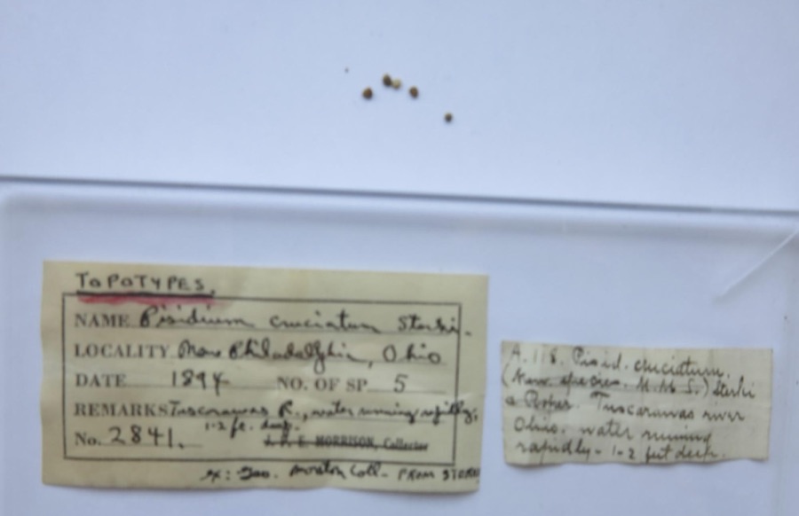
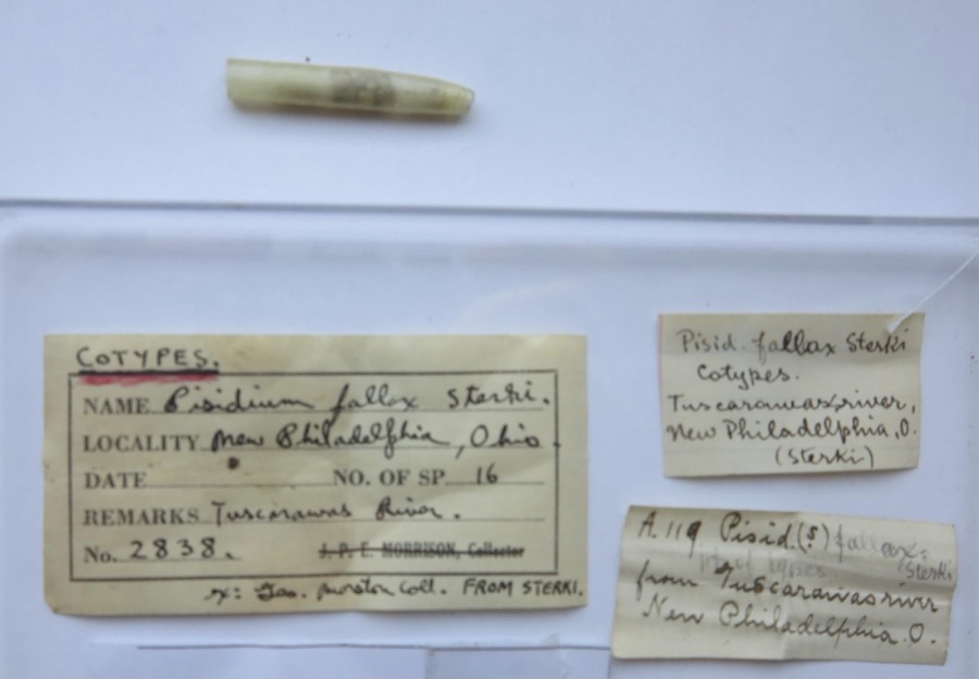
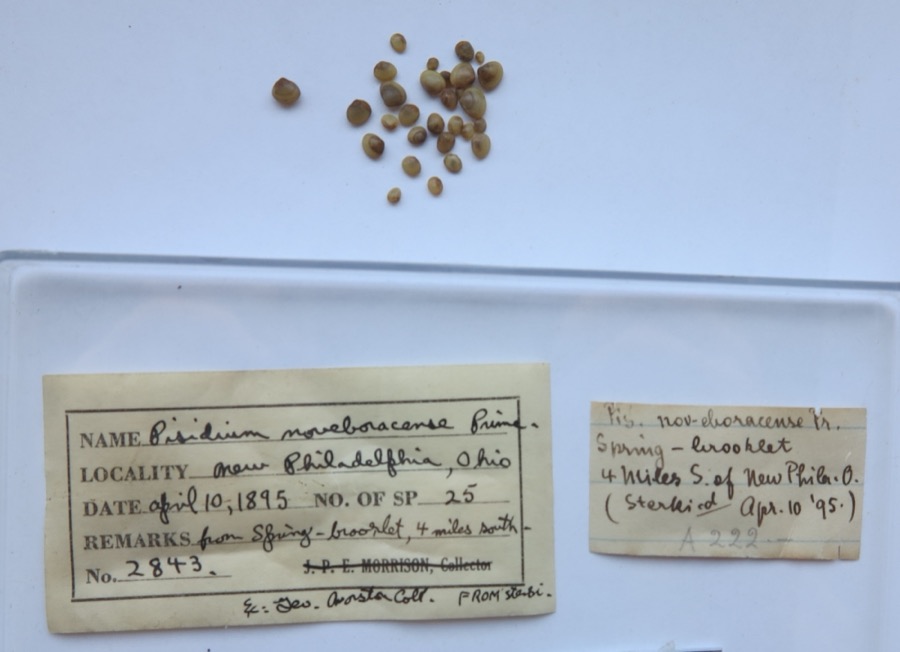
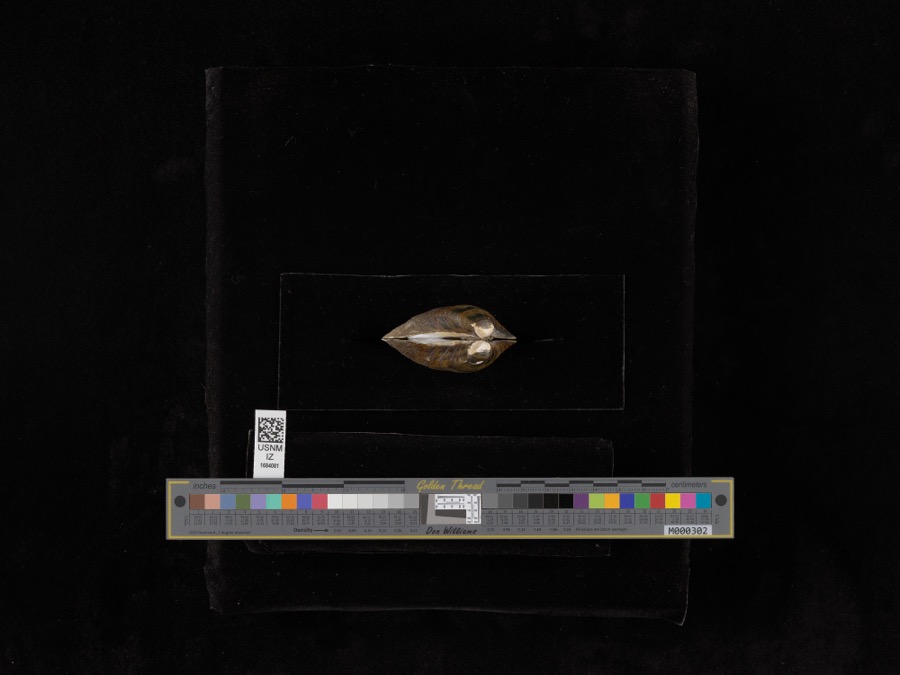
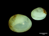
evidence. Museums hold 172 specimens
collected within 10 miles of Port Washington Town Hall between 1851 and
1973: 119 Animalia, 30 Fungi, 22 Plantae, 1 Unrecorded. 12 distinct Species records are shown.
Collected by A. Perry, Allen, John, Borror, D.J. and others. Each is a
physical object with a catalogue
number, and each entry opens the museum's record. This is what was
collected and kept, not a survey of what lives here - nothing can be
concluded from a species being absent.
Regional context, not property-specific
evidence. The federal mineral resources record lists
6 workings within 5 miles of Port Washington Town Hall: 2 occurrences, 2 producers, 1 plant, 1 past producer.
3 still produce. What was taken out: Iron, Clay, Fire Clay (Refractory), Sand and Gravel, Construction. Distance is straight-line from the
map coordinates, so a quarry counted here may appear on a neighbouring
settlement's page as well.
Regional context, not property-specific
evidence. The National Weather Service names
Port Washington, the town this property stands in, in 14 storm reports between 2001 and 2025: 11 thunderstorm wind, 3 hail.
No death or injury is recorded in these reports. Each account below is quoted exactly as the forecast office
filed it, from the NOAA Storm Events Database, and each date
opens the federal record of that event.
No historic map-sheet match is published
for this property yet. That does not mean no map exists. This record needs
a coordinate-quality review before it can be joined to a sheet boundary.
Browse the county's mapped places while that work is
pending.
From the nomination file
3,090 words on record
When this property was proposed for the
National Register, someone wrote the case for it: what the building is,
and why it matters. That document is a federal record in the public domain.
It is quoted below word for word, never summarised. The text was read off the scanned case file by machine, so the
occasional stray character is the recogniser's and the 1970s
typewriter's.
Description of the property
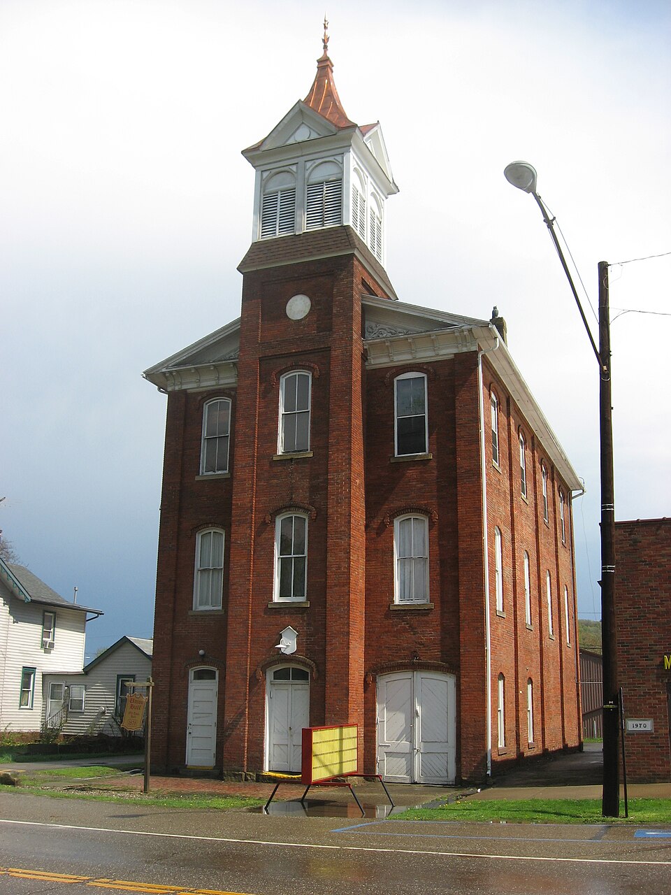
with a limestone foundation measuring 34 by 64 feet. The gabled roof is covered floor level, and a circular date stone at the roofline originally intended for a Entryways flank each side of the tower at the base of the facade. One is an oversize A metal fire escape is on one side elevation and an overhead garage door has house with stage, and the third was a masonic lodge. A spiral stairway within the CONDITION UNEXPOSED XFAIR The first floor interior was reserved for municipal services, the second was an opera CHECK ONE The louvred openings are within blind round arches and there are small gablets above tower connects the three floors.
EXCELLENT XUNALTERED The central bay of the facade is a four-story square tower which projects from the been added to the rear elevation.Two chimneys rise from both side elevations. with slate. hipped slate roof.The belfry roof terminates with a metal finial/lightning rod. the belfry cornice.The original fire bell is in place. clock.It is topped by a frame belfry with louvred openings and a slightly bell-cast GOOD on the rear elevation. All openings in the building are segmental arches.
There are three bays on the facade The Port Washington Town Hall is a three-story brick masonry rectangular building double entrance that originally accomodated fire equipment.The full wooden pediment and four on the side.Each vertical row of three windows is separated by brick pilas- flanking bays.The tower has a double doorway at its base,2/2 windows at each AREAS OF
Statement of significance
small Tuscarawas County community for over 75 years. In addition, it is an excellent With its demise the growth of the community seemed to slow, and by the early 20th Port Washington Lodge, No. 694, I.O.O.F.
was organized immediately following the The village police also maintain an office in the building, but much of it is now used for storage, since a new village building was constructed adjacent to the Hall in the 1700-1799 COMMERCE LAW PERIOD ART ARCHEOLOGY-HISTORIC BUILDER/ARCHITECT EDUCATION THEATER SIGNIFICANCE 1400-1499 TRANSPORTATION MILITARY AGRICULTURE SCULPTURE XPOLITICS/GOVERNMENT _COMMUNICATIONS _EXPLORATION/SETTLEMENT XARCHITECTURE the second floor was utilized as an opera house with entertainment performances.The _CONSERVATION LITERATURE X1800-1899 _1500-1599 1950s.Much interest has recently been expressed locally for restoring the Town Hall The Port Washington Town Hall served as the governmental and social focus of this the Civil War and the construction of the Steubenville and Ohio Railroad.Additions The Town Hall was erected during the speculative years of the village history in construction of the Town Hall and still utilizes the third floor.
_PHILOSOPHY -ENGINEERING 1878-79.It was constructed at a cost of $3500 and was a combination village offices, -ECONOMICS century when the canal was abandoned had largely halted. Iron and Coal Company iron furnaces started in 1874 and permanently closed in 1880. were made to the village plat that more than doubled its size during this time.Most Port Washington was founded in the 1820s as a mill town on the Ohio and Erie Canals. _1600-1699 -1900- _MUSIC _COMMUNITY PLANNING divided into the mayor's office, jail, and fire department. The "audience hall" on ARCHEOLOGY-PREHISTORIC _PREHISTORIC INVENTION notable among the industrialization attempts was the Glasgow and Port Washington dominates the streetscape in this county village with its imposing four-story tower.
will provide the incentive and means for accomplishing this.
Quoted from the National Register nomination
for reference 79001971, 37 pages, held by the National Archives in Record
Group 79. See the
catalogue record.
Listed places nearby
1 within 8 miles
Other National Register properties close
enough to walk or drive between, ordered by distance from this one. Both
positions come from the same geocoding pass that matched these properties
to their map sheets.
Listing record. National Park Service National Register of Historic Places, listed-properties dataset, current to 2026-05-22.
Map join. Address geocoded through the United States Census geocoder, then tested against the published boundary of every sheet in the USGS Historical Topographic Map Collection.
How this page is made. Listing fields come from federal records; map-sheet coverage is a labelled coordinate-to-boundary calculation, not a source-field claim.
Wildfire. Short, Karen C. 2022. Spatial wildfire occurrence data for the United States, 1992-2020 [FPA_FOD_20221014]. 6th Edition. Fort Collins, CO: Forest Service Research Data Archive. https://doi.org/10.2737/RDS-2013-0009.6 Collected with United States Government funding and usable without additional permissions or fees.
Specimens. Global Biodiversity Information Facility (GBIF), https://www.gbif.org/. Only records licensed CC0 or CC BY are used. Records licensed CC BY-NC are excluded because this site carries advertising. Images are checked individually and any whose licence is non-commercial, no-derivatives or unreadable is refused.
Mines and quarries. USGS Mineral Resources Data System (MRDS) https://mrdata.usgs.gov/mrds/ A work of the United States government, no copyright under 17 U.S.C. 105.
Storms. NOAA National Centers for Environmental Information, Storm Events Database https://www.ncei.noaa.gov/stormevents/ A work of the United States government, no copyright under 17 U.S.C. 105. Narratives are quoted verbatim from the National Weather Service report and are not edited or summarised.
 Block
Block