Listed on the National Register of Historic Places in
1970. A historic map-sheet match is not published yet. The record needs a coordinate-quality review before it can be joined to a sheet boundary.
From the record
“Bishop Loskiel, in the autumn of 1803, visited Gnadenhutten, and while here the settlers west of the river petitioned him for separate ministerial laborers, inasmuch as the high waters often prevented them from attending church and from sending their children to school. The request was granted, and in the spring of 1804.”
The History of Tuscarawas County, Ohio (1884). Machine-read text.
one of 20 National Register listings in Tuscarawas County · listed in 1970 · category: Site · one of 1 National Historic Landmarks in Tuscarawas County.
National Register reference number.70000519- the number the National Park Service assigned this property when it was listed, and the key its nomination file is catalogued under at the National Archives.
The ground it stands on
5,598 words
The chapter on Clay Township in The History of Tuscarawas County, Ohio, published 1884 names Gnadenhutten. This is what it says, exactly as the scans read.
PERHAPS to no region in Eastern Ohio clings so tragic an interest as that which attaches to the beautiful shaded groves of Gnadenhutten, for it was here, on the fatal 8th of March, 1782, that ninety-six unoffending, peace-loving Indians fell innocent victims of the fierce border hatred that raged relentlessly between two bitter, hostile races. It was not the mere destruction of the Indians that shrouds the locality with so deep an interest, but the fact that they were martyrs, sacrificed by an implacable venom engendered by Indian warfare, which demanded victims, guilty or innocent, before it would be appeased. Within the secluded cemetery, near the banks which overlook the Tuscarawas, is the site of the tragic occurrence, narrated in an earlier chapter of this volume. Clay Township was also the region of Tuscarawas County that was first permanently settled by the whites. When the faithful remnant of Indian converts returned from Canada to the Tuscarawas Valley, in charge of the Moravian missionaries in 1798, John Hecke welder, the agent of the Society of United Brethren, which held in trust the three Moravian tracts, sought to induce Moravians of Pennsylvania to occupy, by lease, the lands not needed by the Indians. An Indian mission was re-established at Gnadenhutten, but not long after it was consolidated with the Goshen mission in what is now in Goshen Township, leaving the Gnadenhutten and Salem tracts unoccu- pied. From the records of the church of Beersheba, from which much of the following has been obtained, it is learned that on the 8th of October, 179S. both the Salem and Gnadenhutten tracts were surveyed into farming lots.
John Heckewelder and William Edwards, accompanied by live Indian brethren, arrived at Gnadenhutten, June 18, 1798, after a very difficult and fatiguing journey throught the wilderness from Fairfield, Canada. Heckewelder built the first house in Gnadenhutten, and moved into it September 29.
Regional context, not property-specific
evidence. The
federal wildfire occurrence database
lists 26 fires within 5 miles of Gnadenhutten Massacre Site between
2005 and 2020, burning about 43 acres in total. None started naturally. None was recorded as arson.
Distance is straight-line from the map coordinates, so a fire counted
here may appear on a neighbouring settlement's page as well.
Reported cause
Fires
Debris and open burning
13
Missing data/not specified/undetermined
6
Power generation/transmission/distribution
4
Smoking
1
Misuse of fire by a minor
1
Equipment and vehicle use
1
The most recent of
them, most recent first, with the day each was reported and the service
that recorded it.
Regional context, not property-specific
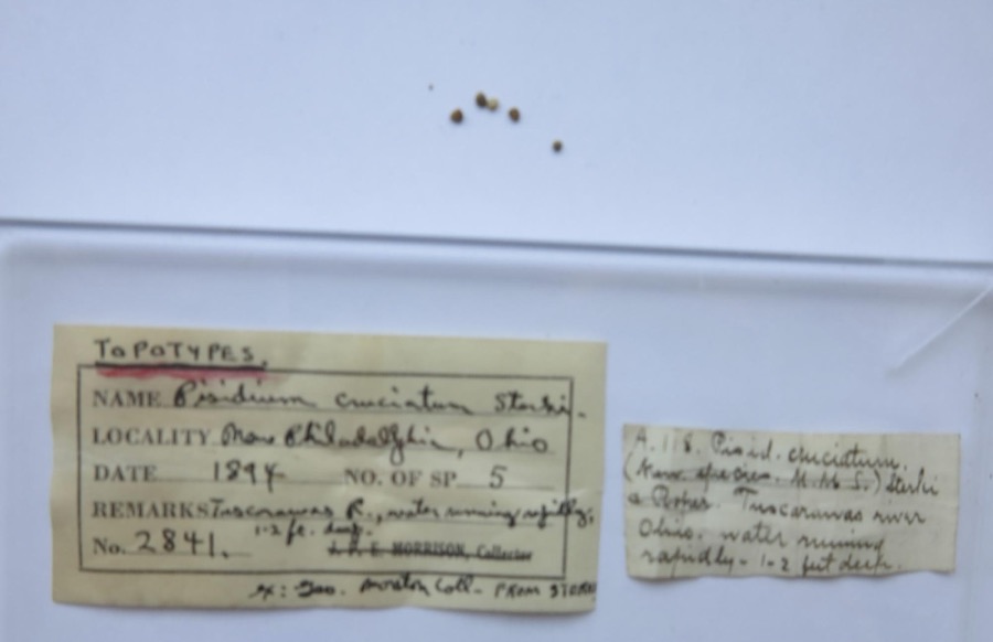
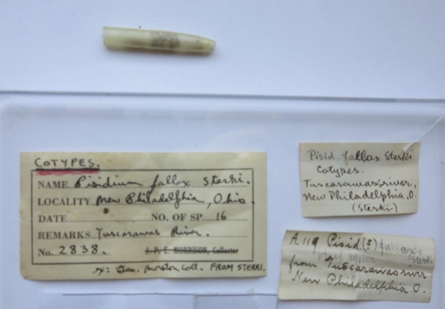
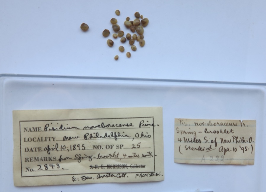
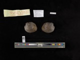
evidence. Museums hold 495 specimens
collected within 10 miles of Gnadenhutten Massacre Site between 1851 and
1973: 386 Animalia, 72 Plantae, 35 Fungi, 2 Unrecorded. 12 distinct Species records are shown.
Collected by A. Perry, Adams J. M. R., Adams J. R. M. and others. Each is a
physical object with a catalogue
number, and each entry opens the museum's record. This is what was
collected and kept, not a survey of what lives here - nothing can be
concluded from a species being absent.
Regional context, not property-specific
evidence. The federal mineral resources record lists
13 workings within 5 miles of Gnadenhutten Massacre Site: 7 producers, 6 past producers.
7 still produce. What was taken out: Clay, Sand and Gravel, Construction, Stone, Crushed/Broken, Clay, Coal, Coal. Distance is straight-line from the
map coordinates, so a quarry counted here may appear on a neighbouring
settlement's page as well.
Regional context, not property-specific
evidence. The National Weather Service names
Gnadenhutten, the town this property stands in, in 16 storm reports between 1998 and 2023: 11 thunderstorm wind, 4 hail, 1 flash flood.
No death or injury is recorded in these reports. Each account below is quoted exactly as the forecast office
filed it, from the NOAA Storm Events Database, and each date
opens the federal record of that event.
No historic map-sheet match is published
for this property yet. That does not mean no map exists. This record needs
a coordinate-quality review before it can be joined to a sheet boundary.
Browse the county's mapped places while that work is
pending.
From the nomination file
1,460 words on record
When this property was proposed for the
National Register, someone wrote the case for it: what the building is,
and why it matters. That document is a federal record in the public domain.
It is quoted below word for word, never summarised. The text was read off the scanned case file by machine, so the
occasional stray character is the recogniser's and the 1970s
typewriter's.
Description of the property
Nothing remains of the Moravian Mission of Gnadenhutten, founded in site, now is marked by a simple obelisk. The site also contains the APR 13 1971 CONDITION REGISTER DESCRIPTION NATIONAL is operated by the Gnadenhutten Historical Society. graves of the martyred Indians. (Check One) - Deteriorated - Unexposed October, 1772. The massacre site, which coincided with the mission Excellent Ruins State Memorial by The Ohio Historical Society.A museum on the grounds RECEIVED Fair tion to the State of Ohio in 193l.The site is administered asa PERIOD (Check One or More as Appropriate) - Pre-Columbian) - 20th Century - Urban Planning - Prehistoric Other (Specify) APR 13-1971 - Music STATEMENT OF
Statement of significance
The Delaware Indians, after moving to eastern Ohio about 1750, took Zeisberger, who founded a successful Moravian Mission, Schoenbrunn, The militiamen, blinded by their hatred of Indians, held a council brought charges against the Moravians, accusing them of fighting the Americans, assisting British Indians and plundering American missionaries wished to re-establish their Tuscarawas towns, but the later efforts were not so successful as the initial ones.
Architecture losophy Engineering Conservation Communications Commerce Science SIGNIFICANCE Aboriginal Theater Education Agriculture Literature Landscape Sculpture Industry Political Invention manner toward the Indians long enough to disarm then.Next they itarian for the new American nation.The American states also ceded their hostilities.The Treaty of 1783 secured the Northwest Territory another militia was sent to destroy the remaining Tuscarawas towns, During the Revolutionary War, the Moravians and their Indian converts Social/Hum Christians sang and prayed, their members were taken two by two frontiersmen began to believe rumors that the Moravian Indians were readily to Christianity.As early as mid-century there were Moravian helping the British as were other Indians in Ohio.After a series sold the dress to the Christian Indians and then moved on.
and then the Sandusky settlement, most of the Moravians were gone. who had been killed in one of the Indian raids.The Shawnees had also helped to found a mission 12 miles down the Tuscarawas River of Shawnee Indian raids in Pennsylvania,150 mounted militia from White Eyes and Killbuck. Gnadenhutten to death. The militiamen pretended to act in friendly Religion/Phi- SPEÇIFIC DATEIS) (If Applicable and Known) March 8, Missions in Pennsylvania converting Delawares. In 1772, David one for the men, the other for women and children. While the on the Sandusky River and warned their people to flee. By the time western claims to the federal government. Meanwhile, the Moravian Transportation settlements.
Quoted from the National Register nomination
for reference 70000519, 12 pages, held by the National Archives in Record
Group 79. See the
catalogue record.
Listed places nearby
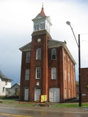
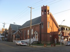
5 within 8 miles
Other National Register properties close
enough to walk or drive between, ordered by distance from this one. Both
positions come from the same geocoding pass that matched these properties
to their map sheets.
Listing record. National Park Service National Register of Historic Places, listed-properties dataset, current to 2026-05-22.
Map join. Address geocoded through the United States Census geocoder, then tested against the published boundary of every sheet in the USGS Historical Topographic Map Collection.
How this page is made. Listing fields come from federal records; map-sheet coverage is a labelled coordinate-to-boundary calculation, not a source-field claim.
Wildfire. Short, Karen C. 2022. Spatial wildfire occurrence data for the United States, 1992-2020 [FPA_FOD_20221014]. 6th Edition. Fort Collins, CO: Forest Service Research Data Archive. https://doi.org/10.2737/RDS-2013-0009.6 Collected with United States Government funding and usable without additional permissions or fees.
Specimens. Global Biodiversity Information Facility (GBIF), https://www.gbif.org/. Only records licensed CC0 or CC BY are used. Records licensed CC BY-NC are excluded because this site carries advertising. Images are checked individually and any whose licence is non-commercial, no-derivatives or unreadable is refused.
Mines and quarries. USGS Mineral Resources Data System (MRDS) https://mrdata.usgs.gov/mrds/ A work of the United States government, no copyright under 17 U.S.C. 105.
Storms. NOAA National Centers for Environmental Information, Storm Events Database https://www.ncei.noaa.gov/stormevents/ A work of the United States government, no copyright under 17 U.S.C. 105. Narratives are quoted verbatim from the National Weather Service report and are not edited or summarised.
 Block
Block