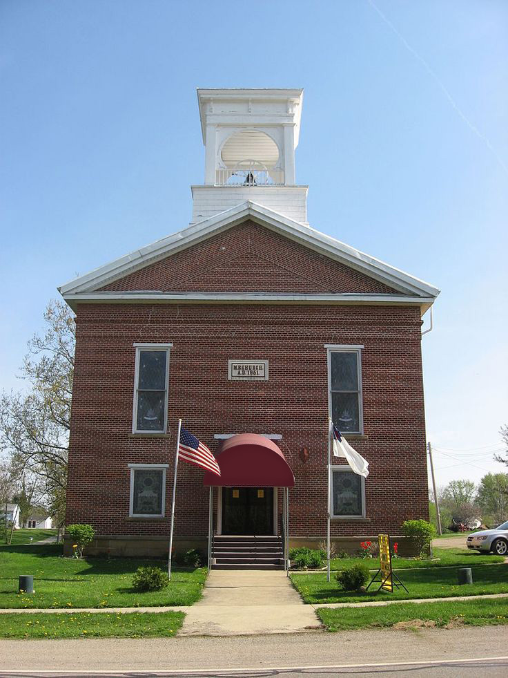
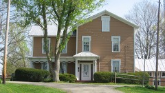
Listed on the National Register of Historic Places in
1979. A historic map-sheet match is not published yet. The record needs a coordinate-quality review before it can be joined to a sheet boundary.
From the record
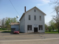
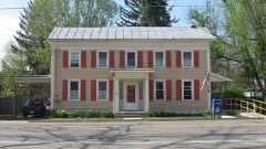
“The Chesterville Community Church is an independent congregation in the Wesleyan tradition, located in the village of Chesterville, Ohio, United States. Founded in 1833, it is Chesterville's only church, and it worships in a landmark 1850s building.”
Wikipedia article Chesterville Community Church, CC BY-SA 4.0.
one of 15 National Register listings in Morrow County · listed in 1979 · category: Building.
National Register reference number.79002754- the number the National Park Service assigned this property when it was listed, and the key its nomination file is catalogued under at the National Archives.
Specimens collected near this property
12 of 377 shown
Regional context, not property-specific
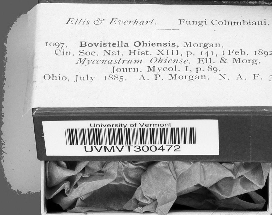
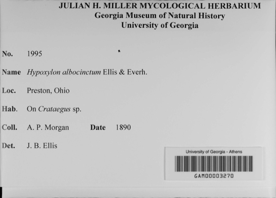
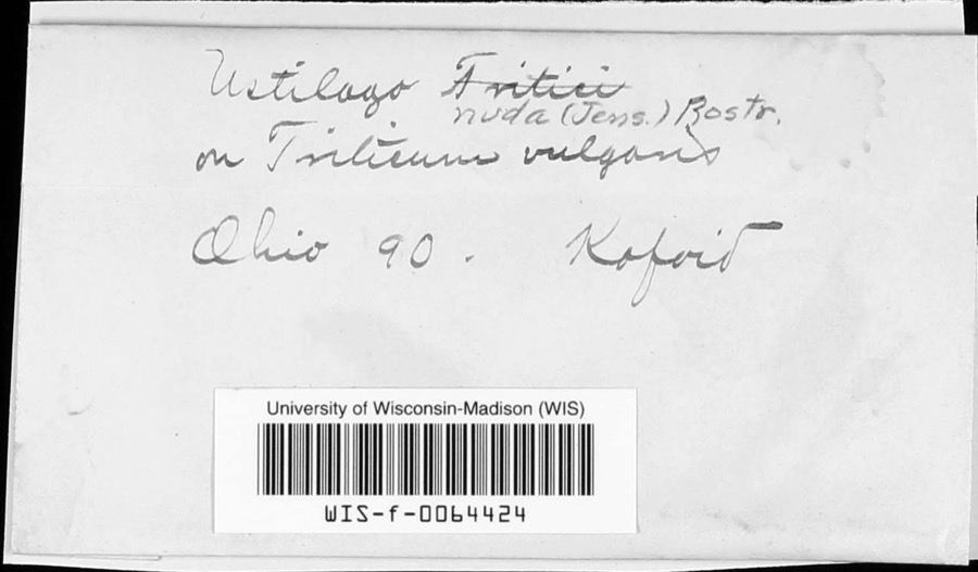
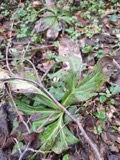
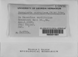
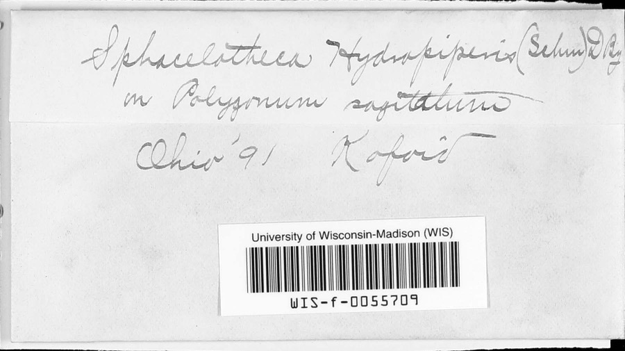
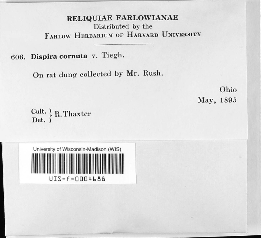
evidence. Museums hold 377 specimens
collected within 10 miles of Chesterville Methodist Church between 1835 and
1975: 352 Animalia, 18 Fungi, 6 Plantae, 1 Unrecorded. 12 distinct Species records are shown.
Collected by A. P. Morgan, Adler, K. K., Bird, C. and others. Each is a
physical object with a catalogue
number, and each entry opens the museum's record. This is what was
collected and kept, not a survey of what lives here - nothing can be
concluded from a species being absent.
Regional context, not property-specific
evidence. The federal mineral resources record lists
2 workings within 5 miles of Chesterville Methodist Church: 2 producers.
All of them still produce. What was taken out: Sand and Gravel, Construction. Distance is straight-line from the
map coordinates, so a quarry counted here may appear on a neighbouring
settlement's page as well.
Regional context, not property-specific
evidence. The National Weather Service names
Chesterville, the town this property stands in, in 14 storm reports between 1993 and 2024: 7 hail, 4 thunderstorm wind, 2 flood, 1 tornado.
No death or injury is recorded in these reports. Each account below is quoted exactly as the forecast office
filed it, from the NOAA Storm Events Database, and each date
opens the federal record of that event.
In Morrow County, The Whetstone Creek flooded its banks in Mt. Gilead. The Lee Street apartments in Mt. Gilead were flooded. Seventy-five people in 20 units were affected by the flood waters. Flooding problems were reported along State Routes 95 and 314 in Morrow County, high water on another part of State Route 95 at the Knox-Morrow County line and the Richland-Morrow County line. A farm north of Mt. Gilead had over a dozen horses forced to swim to dry land as the property was inundated.
The tornado began in Chesterville. As the tornado moved southeastward, it crossed Township Road 180 before progressing into Knox County. Numerous trees were uprooted or snapped along the tornado's path. A couple of these trees landed on buildings in Chesterville. The storm survey did not note any specific damage to the buildings. Estimated peak tornadic winds were 105 mph.
Heavy rainfall of 1 to 3 inches over Morrow County on the evening of the 18th resulted in widespread flooding of local and state roads. Those roads include the following; SR 314 and SR 95, SR 314 and SR 229, Road 21, west of SR 314, Road 170 and SR 229, Road 20, east of 21, SR 61 and Road 25.
No historic map-sheet match is published
for this property yet. That does not mean no map exists. This record needs
a coordinate-quality review before it can be joined to a sheet boundary.
Browse the county's mapped places while that work is
pending.
Named in the fire insurance atlases
Sanborn surveyors printed an index of the
town's establishments at the front of each atlas. This property is named in
one, read straight off the scanned sheet.
When this property was proposed for the
National Register, someone wrote the case for it: what the building is,
and why it matters. That document is a federal record in the public domain.
It is reproduced in full on its own page, word for word and never summarised. The text was read off the scanned case file by machine, so the
occasional stray character is the recogniser's and the 1970s
typewriter's.
Quoted from the National Register nomination
for reference 79002754, 4 pages, held by the National Archives in Record
Group 79. See the
catalogue record.
Listed places nearby
6 within 8 miles
Other National Register properties close
enough to walk or drive between, ordered by distance from this one. Both
positions come from the same geocoding pass that matched these properties
to their map sheets.
Listing record. National Park Service National Register of Historic Places, listed-properties dataset, current to 2026-05-22.
Map join. Address geocoded through the United States Census geocoder, then tested against the published boundary of every sheet in the USGS Historical Topographic Map Collection.
How this page is made. Listing fields come from federal records; map-sheet coverage is a labelled coordinate-to-boundary calculation, not a source-field claim.
Specimens. Global Biodiversity Information Facility (GBIF), https://www.gbif.org/. Only records licensed CC0 or CC BY are used. Records licensed CC BY-NC are excluded because this site carries advertising. Images are checked individually and any whose licence is non-commercial, no-derivatives or unreadable is refused.
Mines and quarries. USGS Mineral Resources Data System (MRDS) https://mrdata.usgs.gov/mrds/ A work of the United States government, no copyright under 17 U.S.C. 105.
Storms. NOAA National Centers for Environmental Information, Storm Events Database https://www.ncei.noaa.gov/stormevents/ A work of the United States government, no copyright under 17 U.S.C. 105. Narratives are quoted verbatim from the National Weather Service report and are not edited or summarised.
 Block
Block