 Block
BlockFrom the record
one of 28 National Register listings in Mercer County · listed in 1979 · category: Building.
Sources: the case file at the National Archives · the National Register database, National Park Service
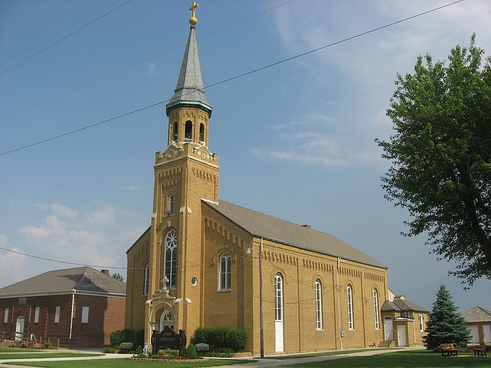
Listed on the National Register of Historic Places in 1979. A historic map-sheet match is not published yet. The record needs a coordinate-quality review before it can be joined to a sheet boundary.
one of 28 National Register listings in Mercer County · listed in 1979 · category: Building.
Sources: the case file at the National Archives · the National Register database, National Park Service
Regional context, not property-specific evidence. Museums hold 284 specimens collected within 10 miles of Philothea Catholic Church and Priest House between 1886 and 1975: 257 Animalia, 24 Fungi, 1 Unrecorded, 1 Bacteria, 1 Plantae. 12 distinct Species records are shown. Collected by . R. Slonakerj, A. D. Selby, Adler, K. K. and others. Each is a physical object with a catalogue number, and each entry opens the museum's record. This is what was collected and kept, not a survey of what lives here - nothing can be concluded from a species being absent.
| Image | Species | Year | Collected by | Where, as recorded |
|---|---|---|---|---|
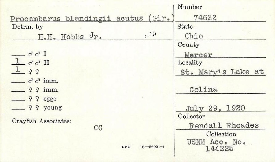 | Procambarus blandingii (Harlan, 1830) | 1920 | R. Rhoades | St. Marys Lake at Celina |
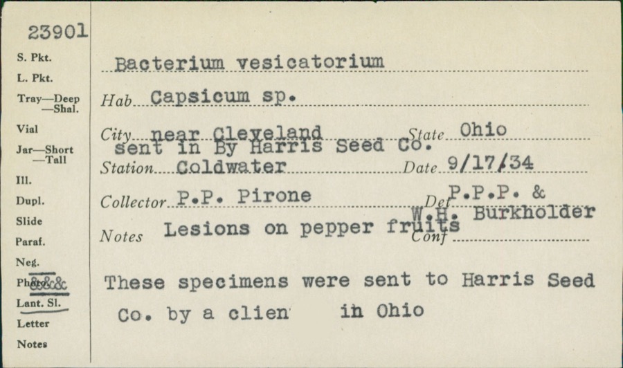 | unnamed | 1934 | P. P. Pirone | Coldwater |
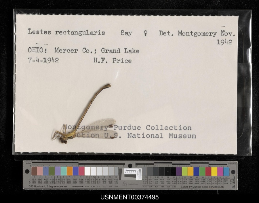 | Lestes rectangularis Say, 1840 | 1942 | H. Price | Grand Lake |
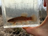 | Umbra limi (Kirtland, 1840) | 1886 | Meek and Harris | Montezuma |
 | Ardea alba egretta Gmelin, 1789 | 1888 | J. R. Slonaker | Celina |
 | Calidris canutus (Linnaeus, 1758) | 1888 | J. R. Slonaker | Celina |
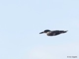 | Ceryle alcyon alcyon Cramp & Simmons, 1977-1994 | 1888 | J. R. Slonaker | Celina |
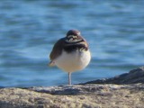 | Charadrius vociferus Linnaeus, 1758 | 1888 | J. R. Slonaker | Celina |
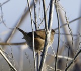 | Cistothorus palustris dissaeptus Bangs, 1902 | 1888 | J. R. Slonaker | Celina |
 | Gallinago gallinago delicata (Ord, 1825) | 1888 | J. R. Slonaker | Celina |
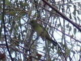 | Piranga olivacea (J.F.Gmelin, 1789) | 1888 | J. R. Slonaker | Fort Recovery |
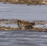 | Porzana carolina (Linnaeus, 1758) | 1888 | J.R.S. | Celina |
All 284 specimens within 10 miles, at the Global Biodiversity Information Facility.
Regional context, not property-specific evidence. The National Weather Service names Philothea, the town this property stands in, in 9 storm reports between 2011 and 2024: 4 flood, 3 thunderstorm wind, 1 hail, 1 flash flood. No death or injury is recorded in these reports. Each account below is quoted exactly as the forecast office filed it, from the NOAA Storm Events Database, and each date opens the federal record of that event.
| When | Event | Place named | Harm | What the report says |
|---|---|---|---|---|
| February 2011 | Flood | Philothea | $100,000 | Flooding is a continuation from earlier flash flooding. Several roads were impassible, evacuations occurred in a trailer park, and basements were flooded due to the precipitation. Flooding began around 0645 EST on February 28th and continued until around 0900 EST on March 2nd. Damage estimates during March were around one-hundred thousand dollars. |
| March 2011 | Flood | Philothea | $100,000 | Flooding is a continuation from earlier flash flooding on February 28th. Several roads were impassible, evacuations occurred in a trailer park, and basements were flooded due to the precipitation. Flooding began around 0645 EST on February 28th and continued until around 0900 EST on March 2nd. Damage estimates during February were around one-hundred thousand dollars. |
| April 2024 | Thunderstorm Wind | Philothea | $7,000 | A box truck was blown over. |
| September 2020 | Flood | Philothea | $5,000 | Coldwater Elementary School was flooded. |
| July 2013 | Thunderstorm Wind | Philothea | $3,000 | A wooden patio structure was destroyed due to thunderstorm winds. |
| March 2023 | Flood | Philothea | - | High water was reported at the intersection of Philothea and Wessel Roads. |
| September 2020 | Flash Flood | Philothea | - | High water was reported flowing across several roads in the Coldwater area. |
| September 2015 | Thunderstorm Wind | Philothea | - | Several large limbs were downed. |
| July 2012 | Hail | Philothea | - | no account filed |
No historic map-sheet match is published for this property yet. That does not mean no map exists. This record needs a coordinate-quality review before it can be joined to a sheet boundary. Browse the county's mapped places while that work is pending.
When this property was proposed for the National Register, someone wrote the case for it: what the building is, and why it matters. That document is a federal record in the public domain. It is reproduced in full on its own page, word for word and never summarised. The text was read off the scanned case file by machine, so the occasional stray character is the recogniser's and the 1970s typewriter's.
The whole case file for this property - 929 words, 9 pages, reproduced complete.
Quoted from the National Register nomination for reference 79002823, 9 pages, held by the National Archives in Record Group 79. See the catalogue record.
Other National Register properties close enough to walk or drive between, ordered by distance from this one. Both positions come from the same geocoding pass that matched these properties to their map sheets.
| Photograph | Property | Distance | Listed |
|---|---|---|---|
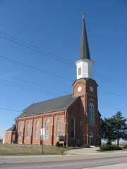 | St. Aloysius Catholic Church | 4.6 miles | 1979 |
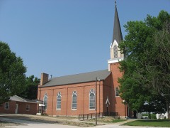 | St. Joseph Catholic Church and Rectory | 4.7 miles | 1979 |
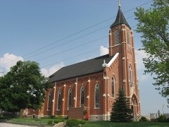 | St. Peter Catholic Church and Rectory | 4.8 miles | 1979 |
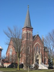 | St. Francis Catholic Church and Rectory | 5.6 miles | 1979 |
| National Archives record | The nomination case file for reference 79002823 in Record Group 79. |
| Mercer County | All 28 listed properties in this county. |