 Block
BlockFrom the record
one of 35 National Register listings in Knox County · listed in 1979 · category: Building.
Sources: the case file at the National Archives · the National Register database, National Park Service
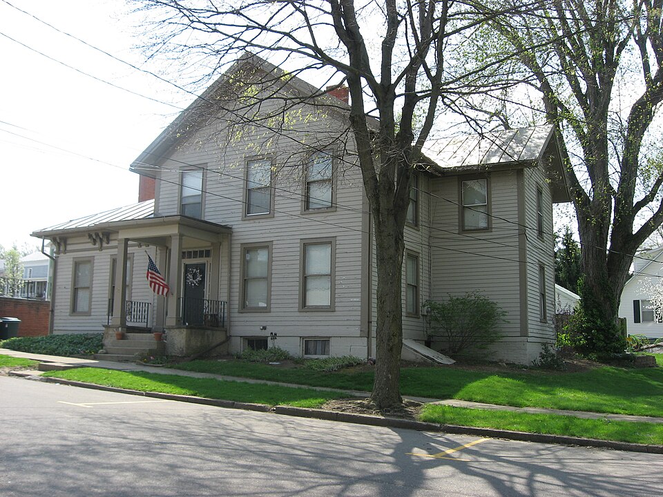
Listed on the National Register of Historic Places in 1979. A historic map-sheet match is not published yet. The record needs a coordinate-quality review before it can be joined to a sheet boundary.
one of 35 National Register listings in Knox County · listed in 1979 · category: Building.
Sources: the case file at the National Archives · the National Register database, National Park Service
Regional context, not property-specific evidence. Museums hold 456 specimens collected within 10 miles of Hosack House between 1837 and 1974: 407 Animalia, 41 Fungi, 7 Plantae, 1 Protozoa. 12 distinct Species records are shown. Collected by A. Hall, A. P. Morgan, Andriessen, H. and others. Each is a physical object with a catalogue number, and each entry opens the museum's record. This is what was collected and kept, not a survey of what lives here - nothing can be concluded from a species being absent.
| Image | Species | Year | Collected by | Where, as recorded |
|---|---|---|---|---|
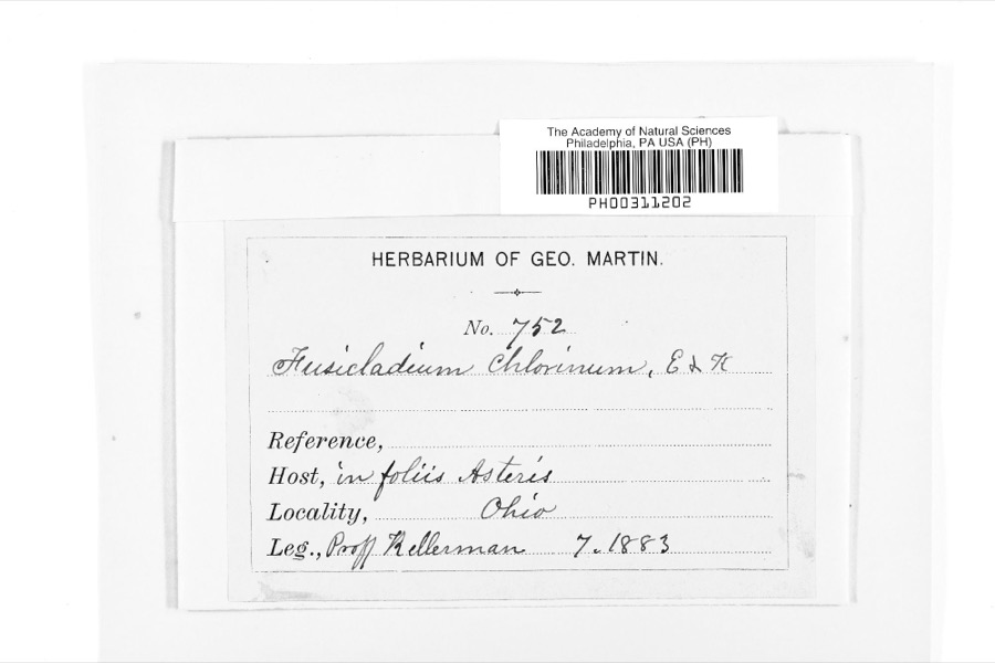 | Fusicladium Bonord. | 1883 | W. A. Kellermann | |
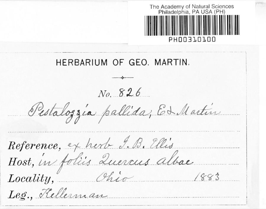 | Pestalotia De Not., 1841 | 1883 | W. A. Kellermann | No locality on label |
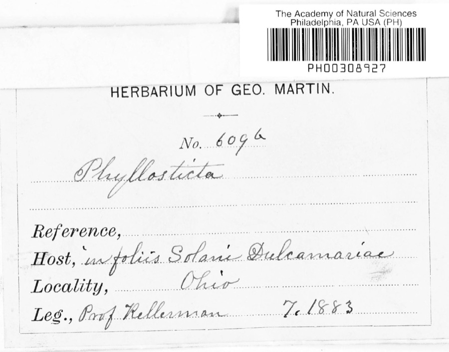 | Phyllosticta Pers., 1818 | 1883 | Kellerman | |
 | Notophthalmus viridescens (Rafinesque, 1820) | 1837 | Müller | Ohio |
 | Pooecetes gramineus (J.F.Gmelin, 1789) | 1863 | Turati (comte), Ercole | |
 | Delphinium exaltatum Aiton | 1877 | E Sheets | |
 | Hydrastis canadensis L. | 1877 | E Sheets | |
 | Sturnella magna magna (Linnaeus, 1758) | 1877 | not recorded | unspecified |
 | Accipiter striatus velox (A.Wilson, 1812) | 1879 | Willard L. Maris | |
 | Gallinula chloropus (Linnaeus, 1758) | 1879 | Porter, J.B. | |
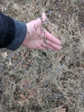 | Lobelia inflata L. | 1881 | Andriessen, H. | near Fredericktown, OH |
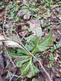 | Ascochyta Lib., 1830 | 1883 | Kellerman |
All 456 specimens within 10 miles, at the Global Biodiversity Information Facility.
Regional context, not property-specific evidence. The federal mineral resources record lists 3 workings within 5 miles of Hosack House: 2 producers, 1 past producer. 2 still produce. What was taken out: Sand and Gravel, Construction. Distance is straight-line from the map coordinates, so a quarry counted here may appear on a neighbouring settlement's page as well.
| Where | Site | Commodity | Status | Recorded |
|---|---|---|---|---|
| Fredericktown Dredge | Sand and Gravel, Construction | Producer | ||
| Fredericktown Pit | Sand and Gravel, Construction | Producer | ||
| Fredericktown Pit | Sand and Gravel, Construction | Past Producer | Sedimentary |
Regional context, not property-specific evidence. The National Weather Service names Fredericktown, the town this property stands in, in 47 storm reports between 1993 and 2026: 34 thunderstorm wind, 10 hail, 2 tornado, 1 flood. No death or injury is recorded in these reports. Each account below is quoted exactly as the forecast office filed it, from the NOAA Storm Events Database, and each date opens the federal record of that event.
| When | Event | Place named | Harm | What the report says |
|---|---|---|---|---|
| May 2002 | Thunderstorm Wind | Fredericktown | $175,000 | Thunderstorm winds downed 35 trees approximately five miles northeast of Mount Vernon. One home was destroyed by fallen trees and three others were significantly damaged. Six additional trees were downed in Fredericktown. |
| August 1993 | Thunderstorm Wind | Fredericktown | $50,000 | Numerous trees and large limbs downed. |
| June 2022 | Tornado (EF1) | Fredericktown | $30,000 | As the tornado continued moving southeastward, trees and power poles were damaged along the tornado's path in Green Valley. A detached garage was destroyed with cinderblocks thrown about 20 yards into a nearby field. In addition, a barn was destroyed and farm equipment was displaced about 200 to 300 yards to the southeast. The tornado dissipated near Cochran Road, just south of Green Valley Road. Estimated peak tornadic winds were 105 mph. |
| April 2002 | Thunderstorm Wind | Fredericktown | $25,000 | Thunderstorm winds downed trees near Fredericktown and Mount Vernon. A home was damaged by a fallen tree in Mount Vernon. |
| June 2011 | Thunderstorm Wind | Fredericktown | $20,000 | Thunderstorm winds downed numerous large trees across northern portions of the county. |
| April 2002 | Hail | Fredericktown | $20,000 | Dime to quarter size hail was reported. |
| August 2017 | Thunderstorm Wind | Fredericktown | $15,000 | Thunderstorm winds downed a few trees and some power lines along Montgomery Road east of Fredericktown. |
| September 2016 | Thunderstorm Wind | Fredericktown | $15,000 | Thunderstorm winds downed several trees and large limbs. |
| July 2019 | Thunderstorm Wind | Fredericktown | $10,000 | There were numerous trees and power lines blown down around Fredericktown. |
| July 2011 | Thunderstorm Wind | Fredericktown | $10,000 | Thunderstorm winds downed large trees across the area. |
| July 2011 | Thunderstorm Wind | Fredericktown | $10,000 | Thunderstorm winds downed large trees across the area. |
| June 2005 | Thunderstorm Wind | Fredericktown | $10,000 | Several trees reported down from thunderstorm winds. |
| June 2004 | Thunderstorm Wind | Fredericktown | $10,000 | Thunderstorm winds downed a few trees and large limbs in the Fredericktown area. |
| August 2003 | Thunderstorm Wind | Fredericktown | $8,000 | Thunderstorm winds downed a few trees and large limbs north of Fredericktown. |
| June 2002 | Thunderstorm Wind | Fredericktown | $8,000 | Thunderstorm winds downed at least three trees. |
| March 2026 | Tornado (EF0) | Fredericktown | $7,500 | This very brief EF0 tornado with estimated peak winds of 75-mph began just west of Granny Creek Road, southwest of Fredericktown. The tornado ripped off part of a barn's metal roof and scattered the debris southeastward before the tornado ended in vicinity of the road. Radar data suggest this tornado was associated with an anticyclonic mesovortex along the equatorward side of the descending rear-inflow jet of a bow echo and the bow echo was embedded in the flanking line of a cyclonic supercell. |
| May 2006 | Thunderstorm Wind | Fredericktown | $6,000 | Three trees were reported down. |
| March 2011 | Hail | Fredericktown | $5,000 | Half dollar or ping pong ball sized hail was reported with this thunderstorm. |
| September 2002 | Thunderstorm Wind | Fredericktown | $5,000 | Thunderstorm winds downed a large tree limb in Fredericktown and a tree near Apple Valley Lake. |
| November 2000 | Thunderstorm Wind | Fredericktown | $5,000 | Thunderstorm winds downed three trees just southeast of Fredericktown along Upper Fredericktown Road. |
| June 1998 | Thunderstorm Wind | Fredericktown | $5,000 | Part of the roof of a house was blown off. |
| September 1993 | Thunderstorm Wind | Fredericktown | $5,000 | no account filed |
| April 2013 | Thunderstorm Wind | Fredericktown | $4,000 | The Fire Department reported two trees were blown down by strong thunderstorm winds in Fredericktown. |
| June 1998 | Thunderstorm Wind | Fredericktown | $4,000 | Many trees were downed. |
| June 2005 | Thunderstorm Wind | Fredericktown | $3,000 | One tree was reported down in Fredericktown, and a few large limbs were reported down in Mt. Liberty. |
| June 2022 | Thunderstorm Wind | Fredericktown | $2,000 | Several trees snapped or uprooted in Fredericktown. One of these trees damaged a fence. |
| March 2011 | Hail | Fredericktown | $2,000 | Quarter sized hail was reported with this thunderstorm. |
| August 2005 | Thunderstorm Wind | Fredericktown | $2,000 | A few trees were reported down. |
| May 2004 | Hail | Fredericktown | $2,000 | Penny to quarter size hail was observed. |
| September 1995 | Thunderstorm Wind | Fredericktown | $2,000 | A tree and large limbs were downed. |
| July 1995 | Thunderstorm Wind | Fredericktown | $2,000 | Large limbs were downed. |
| July 1995 | Thunderstorm Wind | Fredericktown | $2,000 | Trees were downed. |
| March 2026 | Thunderstorm Wind | Fredericktown | - | Trees downed in Fredericktown. |
| April 2023 | Thunderstorm Wind | Fredericktown | - | Numerous trees downed in Fredericktown. |
| June 2022 | Thunderstorm Wind | Fredericktown | - | NWS storm damage survey concluded a downburst with peak gusts of 80 mph downed numerous trees in Fredericktown. |
| July 2022 | Thunderstorm Wind | Fredericktown | - | Trees downed in Fredericktown. |
| August 2021 | Thunderstorm Wind | Fredericktown | - | Numerous trees and power lines downed in Fredericktown. |
| July 2019 | Thunderstorm Wind | Fredericktown | - | Numerous trees and power lines were blown down. |
| May 2013 | Hail | Fredericktown | - | Penny sized hail was observed. |
| July 2013 | Flood | Fredericktown | - | According to the Knox County EMA, Fredericktown and Danville were hit the hardest in that area after an estimated 2 to 4 inches of rain fell on the evening of the 8th. A campground on the Kokosing River was inundated. Knox County flooded roads include S.R. 205, S.R. 95 north of Tom's Road, and Knox Lake Road. |
| September 2010 | Hail | Fredericktown | - | Thunderstorms produced penny size hail. |
| September 2010 | Hail | Fredericktown | - | Thunderstorms produced nickel size hail. |
| May 2008 | Thunderstorm Wind | Fredericktown | - | Thunderstorm winds downed a tree. |
| June 1998 | Hail | Fredericktown | - | no account filed |
| June 1998 | Hail | Fredericktown | - | no account filed |
| August 1997 | Hail | Fredericktown | - | no account filed |
| December 1996 | Thunderstorm Wind | Fredericktown | - | no account filed |
No historic map-sheet match is published for this property yet. That does not mean no map exists. This record needs a coordinate-quality review before it can be joined to a sheet boundary. Browse the county's mapped places while that work is pending.
When this property was proposed for the National Register, someone wrote the case for it: what the building is, and why it matters. That document is a federal record in the public domain. It is reproduced in full on its own page, word for word and never summarised. The text was read off the scanned case file by machine, so the occasional stray character is the recogniser's and the 1970s typewriter's.
The whole case file for this property - 449 words, 4 pages, reproduced complete.
Quoted from the National Register nomination for reference 79003867, 4 pages, held by the National Archives in Record Group 79. See the catalogue record.
Other National Register properties close enough to walk or drive between, ordered by distance from this one. Both positions come from the same geocoding pass that matched these properties to their map sheets.
| Photograph | Property | Distance | Listed |
|---|---|---|---|
| Greek Revival Commercial Building | under 500 feet | 1979 | |
| Second Hosack House | under 500 feet | 1979 | |
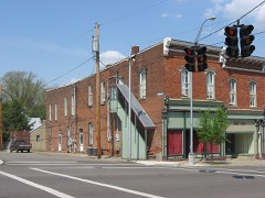 | Brick Commercial Block | under 500 feet | 1979 |
| Bell House | under 500 feet | 1979 | |
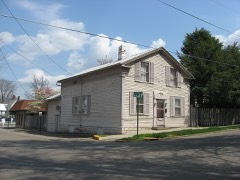 | Telephone Building, Old | under 500 feet | 1979 |
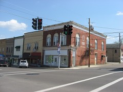 | Davis and Dague Grocery Store, Old | under 500 feet | 1979 |
| National Archives record | The nomination case file for reference 79003867 in Record Group 79. |
| Knox County | All 35 listed properties in this county. |