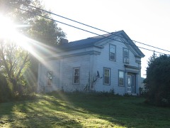
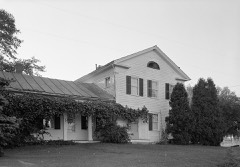
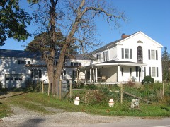
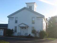
Listed on the National Register of Historic Places in
1979. A historic map-sheet match is not published yet. The record needs a coordinate-quality review before it can be joined to a sheet boundary.
From the record
one of 113 National Register listings in Lorain County · listed in 1979 · category: Building · one of 2 National Historic Landmarks in Lorain County.
National Register reference number.79003881- the number the National Park Service assigned this property when it was listed, and the key its nomination file is catalogued under at the National Archives.
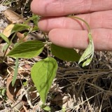
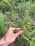
Specimens collected near this property
12 of 762 shown
Regional context, not property-specific
evidence. Museums hold 762 specimens
collected within 10 miles of Clark, Whitney, House between 1887 and
1975: 672 Animalia, 55 Plantae, 32 Fungi, 2 Unrecorded, 1 Protozoa. 12 distinct Species records are shown.
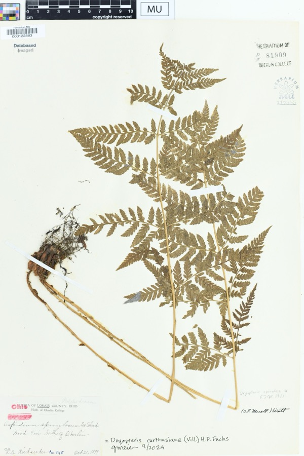
Collected by A. E. Ricksecker, B Zahuranec, B Zahuranec & party and others. Each is a
physical object with a catalogue
number, and each entry opens the museum's record. This is what was
collected and kept, not a survey of what lives here - nothing can be
concluded from a species being absent.
Regional context, not property-specific
evidence. The National Weather Service names
Wellington, the town this property stands in, in 31 storm reports between 1994 and 2023: 19 thunderstorm wind, 8 hail, 2 tornado, 1 flash flood.
No death or injury is recorded in these reports. Each account below is quoted exactly as the forecast office
filed it, from the NOAA Storm Events Database, and each date
opens the federal record of that event.
A tornado touched down just south of Wellington at the intersection of Pitts and Jones Road. One home suffered significant damage and two barns were destroyed as the tornado moved almost due north. Nine other homes suffered minor damage and trees, utility poles, and power lines were downed. Two dogs in dog boxes that were kept in one of the destroyed barns were found 5 to 15 yards away from the site still in their boxes and unhurt.
A tornado with estimated peak winds of 80 mph impacted Wellington. The tornado began near the intersection of Meadow Lane and Sheila Drive, where tops of trees were broken off and scattered across neighboring streets, residential homes, and vehicles. As the tornado moved southeastward, a large tree was uprooted and fell onto a house along Hale Street. After the tornado crossed OH Route 18, powerlines and several trees were downed, and several large tree limbs were broken off and landed on homes. The tornado ended east of Grand Avenue, south of Dickson Street.
A microburst destroyed a barn, and the debris was blown downwind across a farm field. A neighboring garage and outbuilding also sustained minor damage. Several trees were also downed by the severe winds. There were no injuries reported.
1 paper published in this town,
digitised by the Library of Congress and free to read: 0 issues,
0 pages. Every page is searchable, so a name or a street can be
looked for directly in what the town printed about itself at the time.
No historic map-sheet match is published
for this property yet. That does not mean no map exists. This record needs
a coordinate-quality review before it can be joined to a sheet boundary.
Browse the county's mapped places while that work is
pending.
Named in the fire insurance atlases
Sanborn surveyors printed an index of the
town's establishments at the front of each atlas. This property is named in
one, read straight off the scanned sheet.
When this property was proposed for the
National Register, someone wrote the case for it: what the building is,
and why it matters. That document is a federal record in the public domain.
It is reproduced in full on its own page, word for word and never summarised. The text was read off the scanned case file by machine, so the
occasional stray character is the recogniser's and the 1970s
typewriter's.
Quoted from the National Register nomination
for reference 79003881, 5 pages, held by the National Archives in Record
Group 79. See the
catalogue record.
Listed places nearby
6 within 8 miles
Other National Register properties close
enough to walk or drive between, ordered by distance from this one. Both
positions come from the same geocoding pass that matched these properties
to their map sheets.
Listing record. National Park Service National Register of Historic Places, listed-properties dataset, current to 2026-05-22.
Map join. Address geocoded through the United States Census geocoder, then tested against the published boundary of every sheet in the USGS Historical Topographic Map Collection.
How this page is made. Listing fields come from federal records; map-sheet coverage is a labelled coordinate-to-boundary calculation, not a source-field claim.
Specimens. Global Biodiversity Information Facility (GBIF), https://www.gbif.org/. Only records licensed CC0 or CC BY are used. Records licensed CC BY-NC are excluded because this site carries advertising. Images are checked individually and any whose licence is non-commercial, no-derivatives or unreadable is refused.
Storms. NOAA National Centers for Environmental Information, Storm Events Database https://www.ncei.noaa.gov/stormevents/ A work of the United States government, no copyright under 17 U.S.C. 105. Narratives are quoted verbatim from the National Weather Service report and are not edited or summarised.
 Block
Block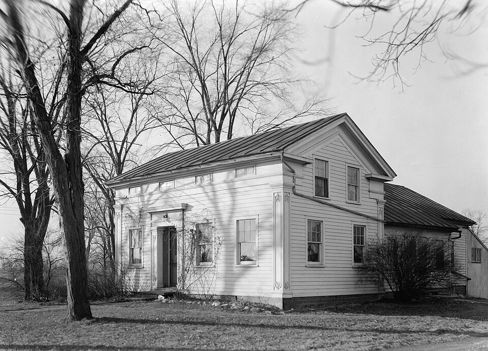
.gif)