Photographs from the nomination case file, National Park Service records.
Echo Bridge
Listed on the National Register of Historic Places in
1980. A historic map-sheet match is not published yet. The record needs a coordinate-quality review before it can be joined to a sheet boundary.
From the record
one of 1100 National Register listings in Middlesex County · listed in 1980 · category: Structure · one of 3 National Historic Landmarks in Middlesex County.
National Register reference number.80000638- the number the National Park Service assigned this property when it was listed, and the key its nomination file is catalogued under at the National Archives.
Fires near this property
104 since 2003
Regional context, not property-specific
evidence. The
federal wildfire occurrence database
lists 104 fires within 5 miles of Echo Bridge between
2003 and 2020, burning about 380 acres in total. None started naturally. None was recorded as arson.
Distance is straight-line from the map coordinates, so a fire counted
here may appear on a neighbouring settlement's page as well.
Reported cause
Fires
Recreation and ceremony
58
Missing data/not specified/undetermined
37
Debris and open burning
4
Smoking
3
Other causes
1
Power generation/transmission/distribution
1
The most recent of
them, most recent first, with the day each was reported and the service
that recorded it.
Regional context, not property-specific
evidence. Museums hold 2,568 specimens
collected within 10 miles of Echo Bridge between 1898 and
1975: 1,408 Animalia, 566 Plantae, 539 Fungi, 29 Protozoa, 13 Bacteria, 10 Chromista, 3 Unrecorded. 12 distinct Species records are shown.
Collected by ?, A B Seymour, A. B. Seymour and others. Each is a
physical object with a catalogue
number, and each entry opens the museum's record. This is what was
collected and kept, not a survey of what lives here - nothing can be
concluded from a species being absent.
Regional context, not property-specific
evidence. The federal mineral resources record lists
10 workings within 5 miles of Echo Bridge: 7 past producers, 1 unknown, 1 producer, 1 plant.
2 still produce. What was taken out: Sand and Gravel, Construction, Stone, Crushed/Broken, Stone, Tantalum. Distance is straight-line from the
map coordinates, so a quarry counted here may appear on a neighbouring
settlement's page as well.
Regional context, not property-specific
evidence. The National Weather Service names
Newton, the town this property stands in, in 17 storm reports between 1997 and 2025: 8 thunderstorm wind, 4 hail, 3 flood, 1 flash flood.
The reports record 1 injury. Each account below is quoted exactly as the forecast office
filed it, from the NOAA Storm Events Database, and each date
opens the federal record of that event.
A 62-year old woman was struck by lightning. She endured a side flash after lightning struck a tree near her. She was alert and breathing at the scene but was transported to a hospital for further evaluation.
In Newton, a tree was down on a car near 1750 Commonwealth Avenue. Also, a tree was down on a house at 111 Prospect Street. A tree was down on Park Drive. A tree was down on Adams Street at Wiltshire Road.
In Newton, urban flooding caused two cars to have to be removed from flood waters near 100 Walnut Street. Also, Adams Street was flooded and impassable from Watertown Street (Route 16) to Cottage Court.
In Newton, a 20 foot stretch of Beacon Street was flooded with 1 foot of water. Also, Route 9 at the Parker Street underpass was flooded with 6 to 12 inches of water. Route 9 westbound near the Chestnut Hill Mall was flooded with 10 to 12 inches of water. In Natick, Speen Street near the Natick Mall was flooded with a foot of water. A few cars stalled out in the water.
After receiving two to three inches of rain with Tropical Storm Irene, the intersection of Commonwealth Avenue and Washington Street was impassable due to flooding in Newton. A car was stuck in flood waters on Commonwealth Avenue.
No historic map-sheet match is published
for this property yet. That does not mean no map exists. This record needs
a coordinate-quality review before it can be joined to a sheet boundary.
Browse the county's mapped places while that work is
pending.
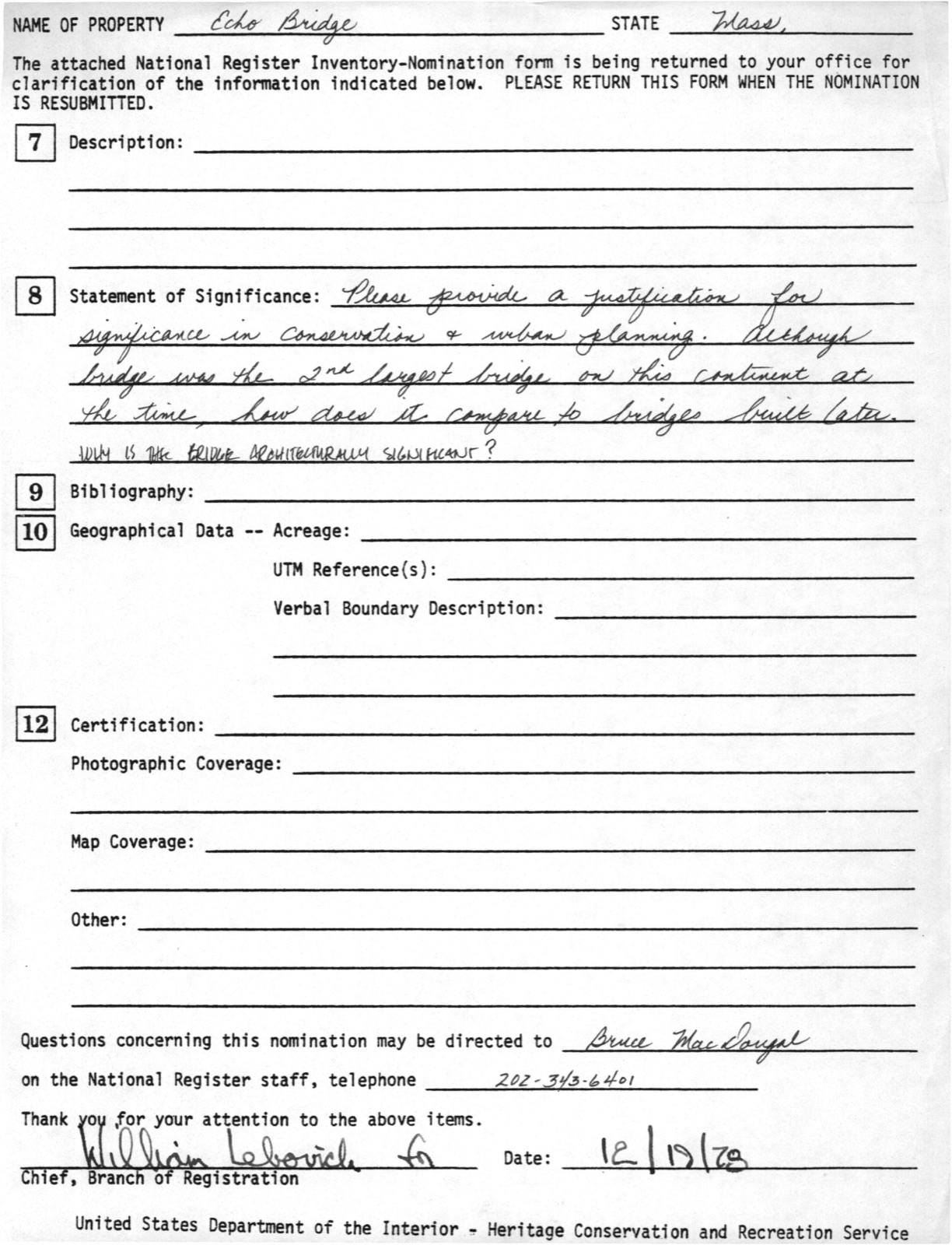
From the nomination file
7,646 words on record
When this property was proposed for the
National Register, someone wrote the case for it: what the building is,
and why it matters. That document is a federal record in the public domain.
It is quoted below word for word, never summarised. The text was read off the scanned case file by machine, so the
occasional stray character is the recogniser's and the 1970s
typewriter's.
Description of the property
Echo Bridge crosses the Charles River and Ellis Street (in Newton) from the town of Needham to the Upper Falls section of the city of Newton. It was constructed in 1876-1877 to carry a section of conduit of the Sudbury Aqueduct across the Charles River en route to the Chestnut Hill Pumping Station (potential National Register) Boston. Set in picturesque Hemlock Gorge, it now serves as a pedestrian walkway connecting two Metropolitan District Commission park areas on either side of the Charles River. This use is in addition to its original function as a conduit carrier. The west side of the river rises to a steep hillside, heavily wooded with hemlocks while the east side is primarily open land. There are water falls both above and below the bridge.
village stand on the Newton side of the river above the bridge. These lave been proposed as a potential historic district by the city of Newton. elow the bridge, on the west side of the river, there is an old stone mill now vacant and boarded up. There is at least one known prehistoric site in Hemlock Gorge -- a rock- helter, first excavated in 1914 -- she las seen Archaic, woodlan; and later tested by Dena Dincauze in 1968 and early historic materials fsom the shelter. This Site is just over into the Wellesley line, about 500' from the bridge. Other sites are probably in the area. The bridge is 500 feet in length and is supported by a series of seven granite arches.
Five of these have a span of thirty-seven feet, the one over Ellis Street has a span of twenty-eight feet and the largest arch which stretches over the river itself has a span of one hundred and thirty feet.
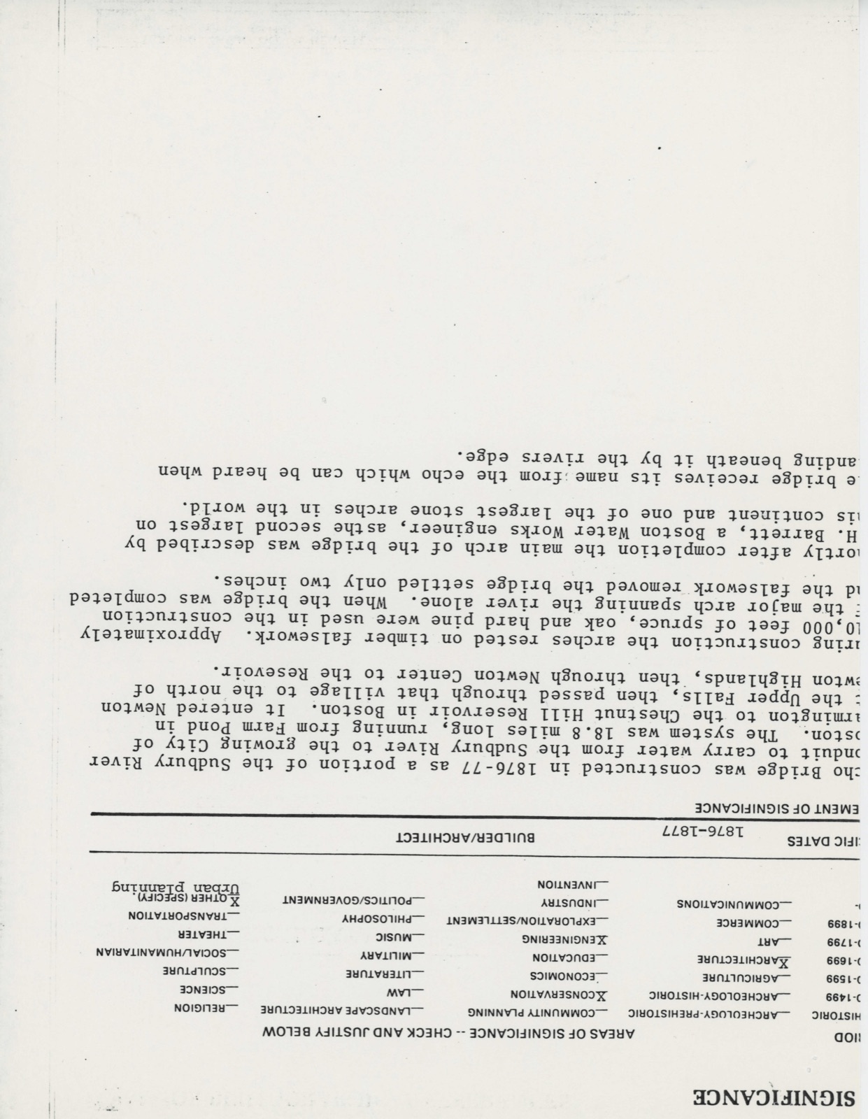
/ARCHITECT 1876-1877 Echo Bridge was constructed in 1876-77 as a portion of the Sudbury River Farlington to tice chesinie lihi Roseovsi in bostone Te anterod ovton at the Upper Falls, then passed through that village to the north of Newton Highlands, then through Newton Center to the Resevoir. During construction the arches rested on timber falsework. Approximately 110,000 feet of spruce, oak and hard pine were used in the construction of the major arch spanning the river alone. When the bridge was completed and the falsework removed the bridge settled only two inches. Shortly after completion the main arch of the bridge was described by F.H. Barrett, a Boston Water Works engineer, asthe second largest on this continent and one of the largest stone arches in the world.
The bridge receives its name from the echo which can be heard when standing beneath it by the rivers edge.
Quoted from the National Register nomination
for reference 80000638, 35 pages, held by the National Archives in Record
Group 79. See the
catalogue record.
Listed places nearby
6 within 8 miles
Other National Register properties close
enough to walk or drive between, ordered by distance from this one. Both
positions come from the same geocoding pass that matched these properties
to their map sheets.
Listing record. National Park Service National Register of Historic Places, listed-properties dataset, current to 2026-05-22.
Map join. Address geocoded through the United States Census geocoder, then tested against the published boundary of every sheet in the USGS Historical Topographic Map Collection.
How this page is made. Listing fields come from federal records; map-sheet coverage is a labelled coordinate-to-boundary calculation, not a source-field claim.
Wildfire. Short, Karen C. 2022. Spatial wildfire occurrence data for the United States, 1992-2020 [FPA_FOD_20221014]. 6th Edition. Fort Collins, CO: Forest Service Research Data Archive. https://doi.org/10.2737/RDS-2013-0009.6 Collected with United States Government funding and usable without additional permissions or fees.
Specimens. Global Biodiversity Information Facility (GBIF), https://www.gbif.org/. Only records licensed CC0 or CC BY are used. Records licensed CC BY-NC are excluded because this site carries advertising. Images are checked individually and any whose licence is non-commercial, no-derivatives or unreadable is refused.
Mines and quarries. USGS Mineral Resources Data System (MRDS) https://mrdata.usgs.gov/mrds/ A work of the United States government, no copyright under 17 U.S.C. 105.
Storms. NOAA National Centers for Environmental Information, Storm Events Database https://www.ncei.noaa.gov/stormevents/ A work of the United States government, no copyright under 17 U.S.C. 105. Narratives are quoted verbatim from the National Weather Service report and are not edited or summarised.
 Block
Block