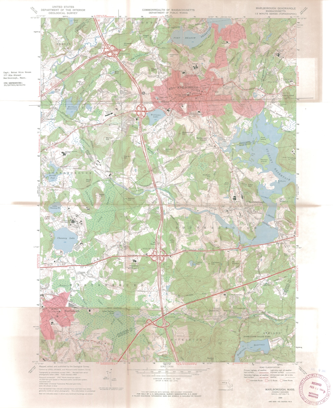
Photographs from the nomination case file, National Park Service records.
Rice, Capt. Peter, House
Listed on the National Register of Historic Places in
1980. A historic map-sheet match is not published yet. The record needs a coordinate-quality review before it can be joined to a sheet boundary.
From the record
“For fifteen years there was fear throughout the township. Tlie Indian community consisted of about fifty persons.”
History of Middlesex County, Massachusetts : Containing Carefully Prepared Histories of Every City and Town in the County (1880). Machine-read text.
one of 1100 National Register listings in Middlesex County · listed in 1980 · category: Building · one of 3 National Historic Landmarks in Middlesex County.
National Register reference number.80000641- the number the National Park Service assigned this property when it was listed, and the key its nomination file is catalogued under at the National Archives.
For fifteen years there was fear throughout the township. Tlie Indian community consisted of about fifty persons. Their ruler's name was Onomog, who was described by a contemporary as a pious and discreet man. They had religious and civil institutions like their white neighbors; employed a schoolmaster, a constable, and other officers. They had brought their land under cultivation, and remained pacific under the vexatious encroachments of the English settlers ; although they were in 23art to blame for their annoyances, seeing they were careless in fencing their fields. Their town lying, as it did, in the heart of Marlborough, the cattle wandered into it, and could hardly be prevented by their owners. The Indians passively retired about a mile into the interior of their land. The celebrated General Gookin of Cambridge, from whose account our knowledge is derived, ])roposed to the English settlers to buy part of tliis land from which they had retired, fence it with stonewalls, and ou one part build a house for a schoolmaster, with a school-room under the same roof, erecting a barn, and giving the teacher as his salary the use of the rest of the land. He also says that at this time the English were backward iiIkhiI employing a schoolmaster, availing themselves of the law which exempted towns of less, than fifty families from being compelled to engage a teacher, although they wanted but a few families to make this number. He suggested that if the Indian school proposed were instituted they might send their children to it, " being the most thrifty and facile way they can take." This field was conveyed to General Gookin by the Indians May 2, 1677. The English town grew unchecked, though not rapidly. Unhappily during this time the community was agitated, indeed distracted, with internal dissensions about both civil and ecclesiastical affairs. They had to do, first, with the reliability of the records and indirectly with the tenure of their lauds ; secondly, with questions as to the support of the minister and the desirability of organizing a church. The public muid was apparently in a state of chronic irritability; to raise a question, was to raise a bitter dispute. Some light is thrown on this period from subsequent sentences in a petition and remonstrances to the General Court. The first explains that their difficulties are of long standing, arishig " partly from our own corruptions and the temptations of Satan, hindering their own good feelings in matters both civil and ecclesiastical, which have been and are very uncomfortable to them and their friends." Even this devout and frank statement proved an irritant, - a denial following that any considerable difficulty existed, and the declaration that they " never went about to destroy the Town Book but only to rectify what was amis in it " ; nor had they attempted " to root out the minister." They vaunted the fact, that, in personal character and liberality to religious and secular institutions, they were the equals of the jjetitioners, and cdiirluilcil \\ith the caustic statement, "We are willing, with our [)ersons and estates, to uphold the Authority of the country, and do therefore desire the liberty of the law which gives towns jrower to iransad their own affairs.'" The appeal to the General Court resulted (1675) hi the appointment of a committee which indorsed the records. The strife, however, was not allayed ; Thomas King and others demanded the reopening of the case. The war ensuing, the matter was not immediately pressed ; but in October, 1679, the quarrel was practically ended by the decisive action of a committee ap- ])()inted by the court to hear the complaints on the sjjot. They censured the turbulent opposition to the former decision, declared better provision shuuhl be iiiailc for llic iiiii:islei-, and u'ave orders as to the custody of the torni records, enjoining a full and veracious report of the proceedings and decisions of the committee who had arbitrated in the case. Their action was approved and confirmed by the court.
Some of the Marlborough Indians liad joined Philip, and those who remained apparently passive or amicable were suspected of treachery. Wiiether the suspicion was well grounded or not, the inhabitants lived in dread of them, and from tradition we learn that they, with other towns, sought protection from the government, so tliat Captain Mosely, it is believed, with a company of soldiers, early in the morning surprised these Indians while they were in the fort to which they repaired at niglit, seized their persons and arms, fastened their hands behind tiieir backs, connecting them with a cart-rope, and drove them to Boston, from whence they were taken with others to some island in the harbor and kept in durance until the conclusion of hostilities. Tiiose who returned denied tiie charge ; but wlnle suffered to remain even when guilt had been proven, as in the case of David Munnauow who confessed participation in the destruction of Medfield, they were despised and uninfluential, and though their plantation was not formally forfeited by disloyalty, it was gained the more easily from so demoralized and enfeebled a people.
Regional context, not property-specific
evidence. The
federal wildfire occurrence database
lists 133 fires within 5 miles of Rice, Capt. Peter, House between
2015 and 2020, burning about 75 acres in total. 1 started naturally. 11 were recorded as arson.
Distance is straight-line from the map coordinates, so a fire counted
here may appear on a neighbouring settlement's page as well.
Reported cause
Fires
Debris and open burning
56
Missing data/not specified/undetermined
32
Recreation and ceremony
18
Arson/incendiarism
11
Smoking
8
Power generation/transmission/distribution
4
Misuse of fire by a minor
2
Equipment and vehicle use
1
Natural
1
The most recent of
them, most recent first, with the day each was reported and the service
that recorded it.
Regional context, not property-specific
evidence. Museums hold 380 specimens
collected within 10 miles of Rice, Capt. Peter, House between 1898 and
1975: 222 Animalia, 141 Plantae, 17 Fungi. 12 distinct Species records are shown.
Collected by A. Strong, Altpeter, Arthur French and others. Each is a
physical object with a catalogue
number, and each entry opens the museum's record. This is what was
collected and kept, not a survey of what lives here - nothing can be
concluded from a species being absent.
Regional context, not property-specific
evidence. The federal mineral resources record lists
17 workings within 5 miles of Rice, Capt. Peter, House: 12 past producers, 4 producers, 1 unknown.
4 still produce. What was taken out: Sand and Gravel, Construction, Stone, Dimension, Stone, Crushed/Broken. Distance is straight-line from the
map coordinates, so a quarry counted here may appear on a neighbouring
settlement's page as well.
Regional context, not property-specific
evidence. The National Weather Service names
Marlborough, the town this property stands in, in 26 storm reports between 2001 and 2024: 13 thunderstorm wind, 6 lightning, 5 hail, 2 flood.
The reports record 1 injury. Each account below is quoted exactly as the forecast office
filed it, from the NOAA Storm Events Database, and each date
opens the federal record of that event.
A restaurant in Marlboro was struck by lightning, starting a fire. The fire was contained to the roof but damages were enough that the restaurant was shut down. One of the restaurant patrons reported being struck by the lightning bolt and was taken by ambulance to the local hospital. No additional information was available about the victim.
Multiple trees and wires were downed by thunderstorm winds, including on Curtis Avenue, Maple Street, Church Street, Framingham Road, and Dartmouth Road.
Lightning struck an apartment building on Christie Way, setting one third flood apartment on fire. The fire damaged a natural gas line which forced the evacuation of 26 apartments. The damage was repaired and residents were allowed back into their apartments two days later.
In Marlborough, a couple of trees, several branches, and a couple of tents were blown down at 181 Boston Post Road West. Also a large tree was down on Fahey Street. Time estimated by radar.
No historic map-sheet match is published
for this property yet. That does not mean no map exists. This record needs
a coordinate-quality review before it can be joined to a sheet boundary.
Browse the county's mapped places while that work is
pending.
From the nomination file
2,155 words on record
When this property was proposed for the
National Register, someone wrote the case for it: what the building is,
and why it matters. That document is a federal record in the public domain.
It is quoted below word for word, never summarised. The text was read off the scanned case file by machine, so the
occasional stray character is the recogniser's and the 1970s
typewriter's.
Description of the property
The Captain Peter Rice House is located on the west slope of Sligo Hill, on the north side of Elm Street, slightly east of Interstate Route #495. In its present form, the Rice House is the product of several periods of construction ranging from the seventeenth to the twentieth centuries. The Rice House is a two-story, timber-frame structure, made up of a rectangular-plan ma in house with a central chimney and a rear ell. The main house rests on a granite foundation, is covered with clapboards (south, east and north) and is enclosed by a pitched roof covered by asphalt shingles. The facade (south elevation) of the house is symmetrical containing a center entrance flanked on each side by two windows at the first story and five windows at the second story.
The entry constist of panelled architrave with corner blocks framing two four-pane sidelights set above panels and a door of four sunken panels. All facade windows are of 8/12 sash set in projecting frames with moulded caps. The west elevation of the main house is asynmetrical; at its first story is an open porch on square posts, south of center, and a rectangular bay window set under the same half-hip roof as the porch, north of center; fenestration of the bay consists of a 6/6 window on its south face and a tripartite window of 6/9 sash on its west face. At the center of the first story is an entry, like that on the facade, except for its six-panel door. South of this entry is 6/6 window set in a projecting surround.
sotho seconil seory There are three windows at the second story, containing from south to north 8/12, 6/9 and 8/12 sash.
/Architect Unknown later additions Statement of Significance (in one paragraph) The Captain Peter Rice House retains integrity of location, design, materials and workmanship and possesses historical associations with the seventeenth and early eight- eenth century settlement of Marlborough. The product of at least four periods of con- struction, the Rice House both retains elements of each and displays a sequence of development which is characteristic of local vernacular architecture. In its earliest form, 1688, the Rice House is believed to have been a two-story structure with a one-room deep by a central chimney. This original structure now up the front or south half of moulded sheathing and raised panelling. Shouldered corner posts and a chamfered summer beam are presently cased.
In the early eighteenth century, the original house was enlarged by the addition of a lean-to roof and three rooms, including a new kitchen, at the first storey. century, the lean-to roof was removed, the northern half of the second storey was con- twentieth century) - The house is believed to have been built for Peter Rice (1658-1753) in 1688, at the time of his marriage to Rebecca Howe. Born in Sudbury, Massachusetts, Peter Rice was the son of Thomas Rice, one of the petitioners for the establishment of Marlborough as a plantation, and was a member of the large Rice family which supplied a large number of the town's early settlers.
The younger Rice was brought to Marlborough as a child in tho Coun t Noe e Bro 1664 and, presumably, lived in the town all of his life, with the possible exception of the period surrounding King Phillip's war when Marlborough was subject to Indian attack. Rice both farmed his land and served in various capacities for the town's defense.
Quoted from the National Register nomination
for reference 80000641, 10 pages, held by the National Archives in Record
Group 79. See the
catalogue record.
Listed places nearby
6 within 8 miles
Other National Register properties close
enough to walk or drive between, ordered by distance from this one. Both
positions come from the same geocoding pass that matched these properties
to their map sheets.
Listing record. National Park Service National Register of Historic Places, listed-properties dataset, current to 2026-05-22.
Map join. Address geocoded through the United States Census geocoder, then tested against the published boundary of every sheet in the USGS Historical Topographic Map Collection.
How this page is made. Listing fields come from federal records; map-sheet coverage is a labelled coordinate-to-boundary calculation, not a source-field claim.
Wildfire. Short, Karen C. 2022. Spatial wildfire occurrence data for the United States, 1992-2020 [FPA_FOD_20221014]. 6th Edition. Fort Collins, CO: Forest Service Research Data Archive. https://doi.org/10.2737/RDS-2013-0009.6 Collected with United States Government funding and usable without additional permissions or fees.
Specimens. Global Biodiversity Information Facility (GBIF), https://www.gbif.org/. Only records licensed CC0 or CC BY are used. Records licensed CC BY-NC are excluded because this site carries advertising. Images are checked individually and any whose licence is non-commercial, no-derivatives or unreadable is refused.
Mines and quarries. USGS Mineral Resources Data System (MRDS) https://mrdata.usgs.gov/mrds/ A work of the United States government, no copyright under 17 U.S.C. 105.
Storms. NOAA National Centers for Environmental Information, Storm Events Database https://www.ncei.noaa.gov/stormevents/ A work of the United States government, no copyright under 17 U.S.C. 105. Narratives are quoted verbatim from the National Weather Service report and are not edited or summarised.
 Block
Block