National Register reference number.80001682- the number the National Park Service assigned this property when it was listed, and the key its nomination file is catalogued under at the National Archives.
There are several mineral springs near the centre of the town, and the water furnished by iheUxbridge Water Company proves, upon analysis, to be about absolutely pure, being nearly equal to that of the famous Poland Springs, and pronounced by local physicians to be nearly as effectual in the cure of kidney and urinary troubles. At no distant day these springs will be appreciated, and a sanitarium will invite the health-seekers to come and be cured. Uxbridge ranks among the older towns of the county, having been incorporated three years before the county itself.
In 171G it seems that the western part of the town of Mendon and the eastern part had a disagreement about the road to be built to Taft's bridge, over the Great River (Blackstone), which led to the appointment of a committee of conference. This difficulty having been adjusted, the next recorded difference which arose was in 1720, when, as appears by the '-Mendon Annals," "the inhabitants of the west part of the town (now Uxbridge) began to agitate the question of dividing the town, or of being allowed to be a precinct by themselves; but upon their petition to that effect, the town took no action."
Regional context, not property-specific
evidence. The
federal wildfire occurrence database
lists 96 fires within 5 miles of Coronet John Farnum House
between 2002 and 2020, burning about 74 acres in total. None started naturally. 3 were recorded as arson.
Distance is straight-line from the map coordinates, so a fire counted
here may appear on a neighbouring settlement's page as well.
Reported cause
Fires
Debris and open burning
30
Missing data/not specified/undetermined
23
Recreation and ceremony
16
Smoking
15
Railroad operations and maintenance
4
Arson/incendiarism
3
Equipment and vehicle use
3
Other causes
1
Misuse of fire by a minor
1
The most recent of
them, most recent first, with the day each was reported and the service
that recorded it.
Regional context, not property-specific
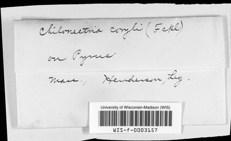
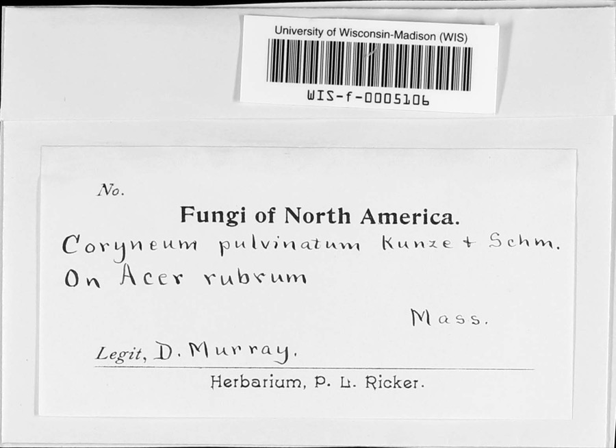
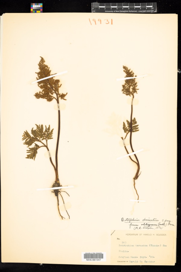
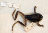
evidence. Museums hold 428 specimens
collected within 10 miles of Coronet John Farnum House between 1844 and 1974: 239 Plantae, 141 Animalia, 34 Fungi, 9 Protozoa, 3 Unrecorded, 2 Chromista.
12 distinct Species records are shown.
Collected by A. B. Seymour, A. R. Hodgdon; F. L. Steele, A. R. Hodgdon; F. L. Steele and others. Each is a
physical object with a catalogue
number, and each entry opens the museum's record. This is what was
collected and kept, not a survey of what lives here - nothing can be
concluded from a species being absent.
Regional context, not property-specific
evidence. The federal mineral resources record lists
23 workings within 5 miles of Coronet John Farnum House: 17 past producers, 4 producers, 1 unknown, 1 prospect.
4 still produce. What was taken out: Sand and Gravel, Construction, Lead, Zinc. Distance is straight-line from the
map coordinates, so a quarry counted here may appear on a neighbouring
settlement's page as well.
Regional context, not property-specific
evidence. The National Weather Service names
Uxbridge, the town this property stands in, in 6 storm reports between 1996 and 2021: 4 thunderstorm wind, 2 hail.
No death or injury is recorded in these reports. Each account below is quoted exactly as the forecast office
filed it, from the NOAA Storm Events Database, and each date
opens the federal record of that event.
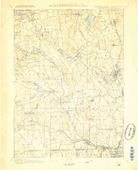
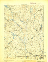
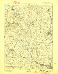
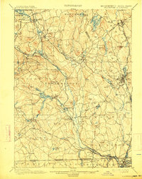
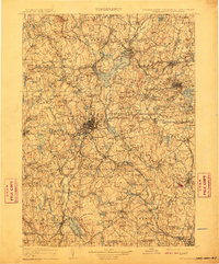
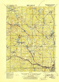
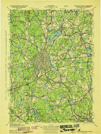
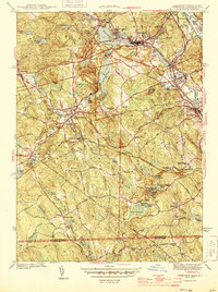
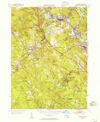
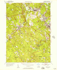
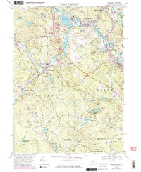
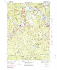
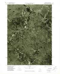
United States Geological Survey topographic
sheets whose coverage includes this point. Matched by taking the coordinate the National Park Service records for this property, then
testing that coordinate against the published boundary of every sheet.
When this property was proposed for the
National Register, someone wrote the case for it: what the building is,
and why it matters. That document is a federal record in the public domain.
It is quoted below word for word, never summarised. The text was read off the scanned case file by machine, so the
occasional stray character is the recogniser's and the 1970s
typewriter's.
Description of the property
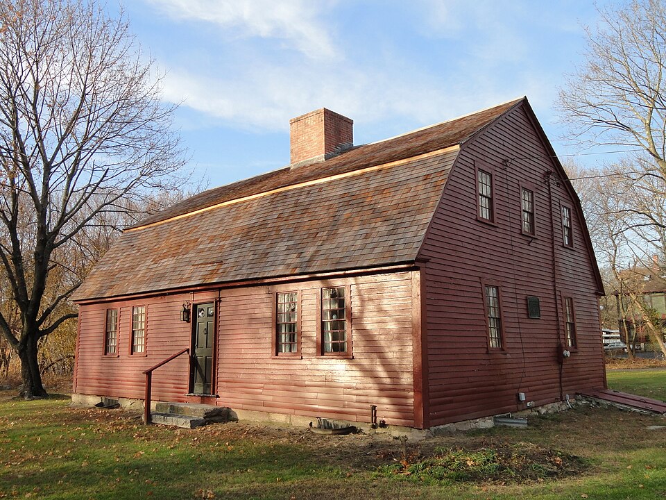
The Cornet Farnum House is located on the west side of Mendon Street (Route 16) east of Uxbridge Center and the Mumford River. The house occupies a lot of 11,468 square feet. North, east and south of the house are residential areas, while land immediately adjoin- ing the property is used for parking for the Bernat Yarn Company. West of the house is The Farnum House is a one and one-half story timber frame structure of rectangular floor plan with a massive central chimney constructed of brick set on a stone base. The build- ing rests on a fieldstone foundation and is enclosed by a gambrel roof, which is covered with wood shingles.
The house's exterior is covered by clapboards and has plain corner- boards, boxed eaves and narrow mouldings beneath the eaves and at the verges of the gable All windows are set in unmoulded frames; first story windows have 9/9 sash, second story windows have 6/6 sash. On the lower slope of the north side of the roof is tangular hatch. SOUTH WALL: The south wall contains the house's major facade consisting of a center en- trance flanked on both sides by two windows, symmetrically placed. The entrance is framed by two narrow pilasters which project slightly from the wall and rise to the eaves. in the pilasters is a moulded surround which frames a door of four rectangular, raised panels, surmounted by two square lights of "bull's eye" glass.
It is likely that this entry arrangement dates from the late eighteenth or early nineteenth century. WEST WALL: The west wall contains one of the house's two gable ends. There are two windows at the first story and three at the second, all symmetrically arranged about the wall's center.
/Architect unknown Statement of Significance (in one paragraph) The Cornet John Farnum House possess integrity of location, design, setting, materials and workmanship. Additionally, it has important association with the formation of Uxbridge and is a particularly well preserved example of a popular house type of the early to mid eighteenth century. Although similar buildings existed in surrounding towns, few examples of the type remain. It's most important features are its rectan- gular floor plan, central chimney, one and one-half story height and gambrel roof. It was built between 1710 when Cornet Farnum was granted 46 acres on the east side of the Mumford River and 1727 when Uxbridge's first town meeting was held there.
Farnum, who was born in Andover in 1672, moved to Mendon (of which Uxbridge was originally a part) c.1701 when he was taxed sixteen shillings and five cords of wood. He acquired the land on which the house now stands between 1701 and 1710. Upon the formation of Uxbridge in 1727, the Farnum House served as the site of the first two town meetings, on July 25 and August 25, 1727.
As Uxbridge's incorporation was provisional, requiring that the inhabitants "within the space of two years erect and finish a suitable House for Public Worship and procure & settle a learned Orthodox Minister of good conversation and make provision for his comfortable support" , the first town meeting voted "to Sett ye Meeting House on ye Southside of the Drabble Tail Brook" In addition, the town meeing elected Robert Taft, Jr., Ebenezer Read, Woodland Thompson and Joseph White to be selectmen, Edmund Rawson to be town clerk and Solomon Wood to be town treasurer.
Quoted from the National Register nomination
for reference 80001682, 10 pages, held by the National Archives in Record
Group 79. See the
catalogue record.
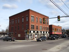
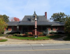
Listed places nearby
6 within 8 miles
Other National Register properties close
enough to walk or drive between, ordered by distance from this one. Both
positions come from the same geocoding pass that matched these properties
to their map sheets.
Listing record. National Park Service National Register of Historic Places, listed-properties dataset, current to 2026-05-22.
Map join. Address geocoded through the United States Census geocoder, then tested against the published boundary of every sheet in the USGS Historical Topographic Map Collection.
How this page is made. Listing fields come from federal records; map-sheet coverage is a labelled coordinate-to-boundary calculation, not a source-field claim.
Wildfire. Short, Karen C. 2022. Spatial wildfire occurrence data for the United States, 1992-2020 [FPA_FOD_20221014]. 6th Edition. Fort Collins, CO: Forest Service Research Data Archive. https://doi.org/10.2737/RDS-2013-0009.6 Collected with United States Government funding and usable without additional permissions or fees.
Specimens. Global Biodiversity Information Facility (GBIF), https://www.gbif.org/. Only records licensed CC0 or CC BY are used. Records licensed CC BY-NC are excluded because this site carries advertising. Images are checked individually and any whose licence is non-commercial, no-derivatives or unreadable is refused.
Mines and quarries. USGS Mineral Resources Data System (MRDS) https://mrdata.usgs.gov/mrds/ A work of the United States government, no copyright under 17 U.S.C. 105.
Storms. NOAA National Centers for Environmental Information, Storm Events Database https://www.ncei.noaa.gov/stormevents/ A work of the United States government, no copyright under 17 U.S.C. 105. Narratives are quoted verbatim from the National Weather Service report and are not edited or summarised.
 Block